The best walks and hikes around Fiume Metauro
4.3
(227)
2,040
hikers
164
hikes
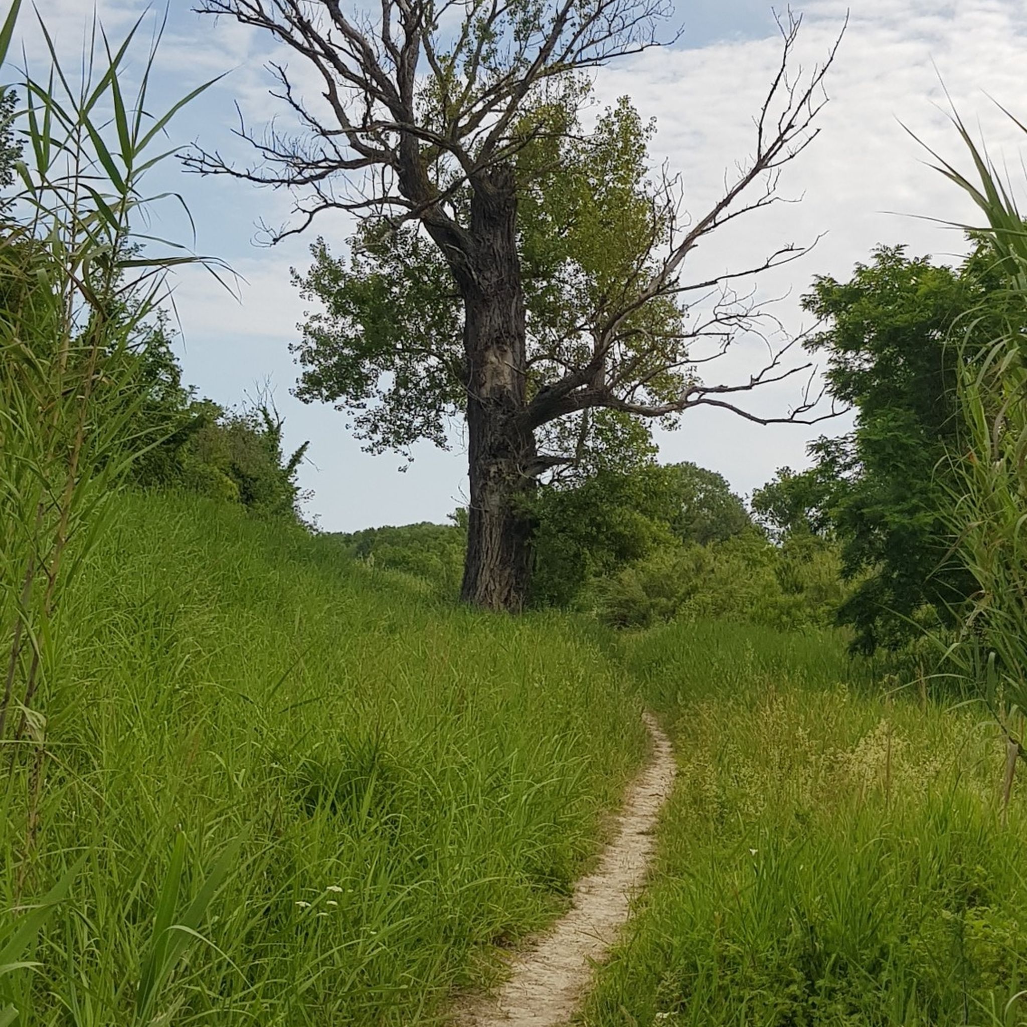
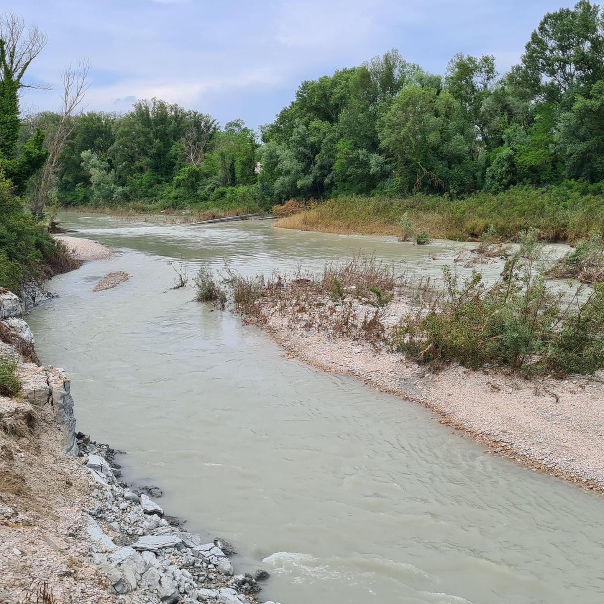
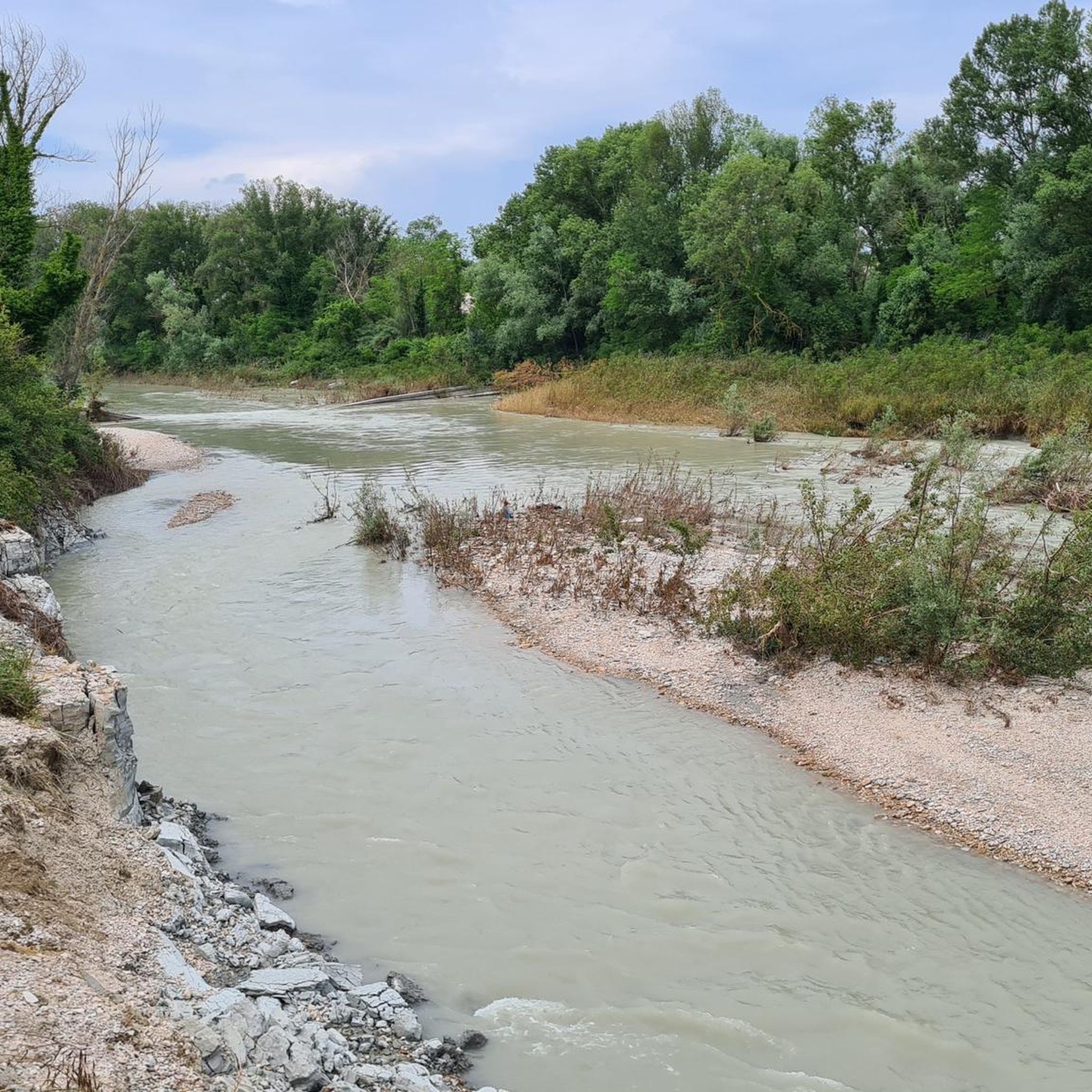
Hiking around Fiume Metauro offers diverse landscapes, from the Apennine Mountains to the Adriatic Sea. The region features the Metauro River, which carves through mountains, rolling hills, and fertile plains. Notable natural features include the Gola del Furlo, the Marmitte dei Giganti canyon, and several waterfalls. The river's mouth near Fano is a Special Protection Area with an intact river environment and riparian zones.
Best hiking trails around Fiume Metauro
- The most popular hiking route is Foce del Metauro Loop…
Last updated: October 12, 2026
3.0
(1)
1
hikers
12.2km
03:06
40m
40m
Moderate hike. Good fitness required. Easily-accessible paths. Suitable for all skill levels.
2.1
(9)
18
hikers
3.84km
00:59
10m
10m
Easy hike. Great for any fitness level. Easily-accessible paths. Suitable for all skill levels.

2.3
(7)
19
hikers
5.43km
01:23
10m
10m
Easy hike. Great for any fitness level. Easily-accessible paths. Suitable for all skill levels.
5.0
(1)
16
hikers
Easy hike. Great for any fitness level. Easily-accessible paths. Suitable for all skill levels.
3.0
(1)
6
hikers
7.18km
01:50
20m
20m
Easy hike. Great for any fitness level. Easily-accessible paths. Suitable for all skill levels.
Get access to more routes and recommendations from other explorers.
Already have an account?
Our route recommendations are based on thousands of hikes, rides, and runs completed by other people on komoot.
Start today with a free account
Your next adventure awaits.

Tips from the Community

Incomplete route, impossible to reach the 2nd point. Avoid this route like the plague.
0
0

a moretta at the port café and off we go!!!
1
0

Nice stretch of very busy cycle/pedestrian path, a moderate pace is recommended
1
0

Fano has a beautiful old town that invites you to take a stroll. Beautiful old buildings with many small shops.
1
0

In 30 years we will still be like this. To go from Fano to Marotta there is no cycle path and for a long stretch you have to travel on the state road to try to be killed! Shame on politicians from the Marche and the Marche region
1
0


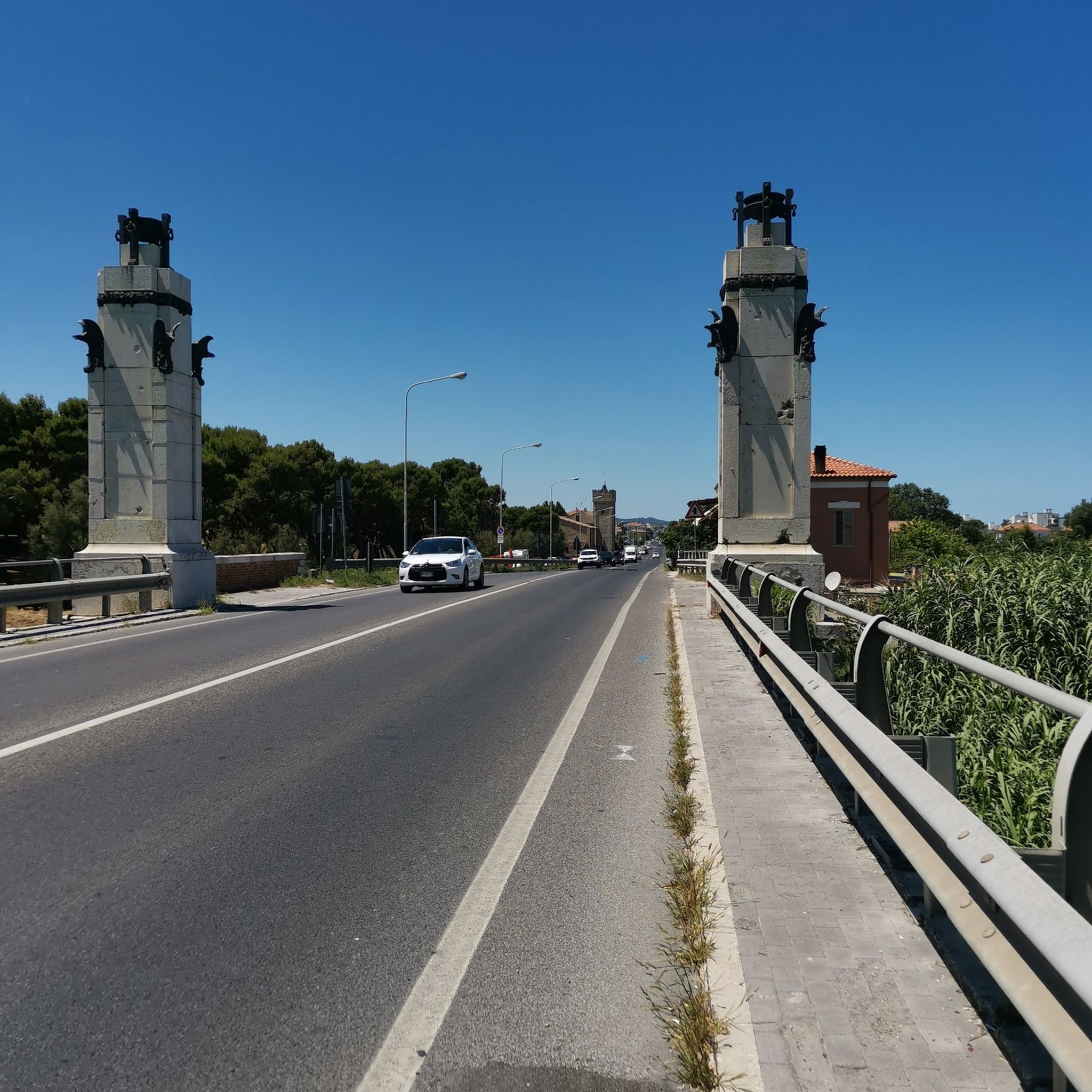
You cross the canal port with the "Moses" bridge on the cycle path
1
0
Frequently Asked Questions
How many hiking trails are available around Fiume Metauro?
The Fiume Metauro region offers a wide variety of hiking experiences, with over 140 routes recorded on komoot. These range from easy riverside strolls to more challenging treks through varied terrain.
What are the difficulty levels of the hiking trails in Fiume Metauro?
Hikers of all abilities can find suitable trails. The region features 66 easy routes perfect for a relaxed walk, and 81 moderate trails for those seeking a bit more challenge. There are no difficult routes listed, making it accessible for many.
Are there any family-friendly hiking options along the Fiume Metauro?
Yes, many of the easy routes are suitable for families. For instance, the Access to the Metauro Riverbed – Metauro River Pond loop from Stadio Raffaele Mancini is an easy 4.3 km path that provides access to the riverbed, offering a gentle experience for all ages.
Can I bring my dog on the hiking trails in Fiume Metauro?
Many trails in the Fiume Metauro area are dog-friendly, especially the riverside paths and those through natural areas. It's always recommended to keep dogs on a leash, especially in protected areas like the Foce del Metauro, and to check local regulations for specific routes.
Are there any circular walks in the Fiume Metauro area?
Yes, several circular routes are available. A popular option is the Metauro River Pond loop from Camping Fano, a 5.4 km trail that takes you through beautiful riparian zones and is often completed in about 1 hour 23 minutes.
What natural features can I expect to see while hiking in Fiume Metauro?
The Fiume Metauro region is rich in natural beauty. You can explore the dramatic Gola del Furlo (Furlo Gorge), the unique Marmitte dei Giganti (Giant's Kettles) near Fossombrone, and picturesque waterfalls like the Cascata del Sasso near Sant'Angelo in Vado. The river's mouth near Fano is also a Special Protection Area with diverse wildlife.
Are there any historical sites or towns to explore near the hiking trails?
Absolutely. The region is dotted with charming historic towns such as Fano, Urbania, and Fossombrone. You can also discover historical structures like the ancient Roman bridge Pontesasso near Fano and the imposing Castle of Cagli, which offers panoramic views over the Metauro valley.
What is the best time of year to go hiking in Fiume Metauro?
The Fiume Metauro region offers pleasant hiking conditions for much of the year. Spring and autumn generally provide the most comfortable temperatures and vibrant scenery. Summer can be warm, especially in the open plains, but riverside trails offer shade. Winter hiking is possible, particularly on lower elevation routes.
Is there public transport access to the Fiume Metauro hiking trails?
Public transport options to access various points along the Fiume Metauro exist, connecting towns like Fano and Fossombrone. From these towns, you can often find local buses or start your hike directly. It's advisable to check local bus schedules for specific trailheads.
Where can I find parking for hiking trails in Fiume Metauro?
Parking is generally available near trailheads, especially in and around towns like Fano and Fossombrone, or at popular starting points for routes. For example, the Historic Center of Fano – Mosè Bridge, Fano loop can be accessed with parking options in Fano.
What do other hikers say about the Fiume Metauro trails?
The Fiume Metauro trails are highly regarded by the komoot community, with an average rating of 4.3 stars from over 140 reviews. Hikers often praise the diverse landscapes, from the tranquil riverbanks to the dramatic gorges, and the well-maintained paths that cater to various skill levels.
Are there any specific areas along the Fiume Metauro that are protected?
Yes, the mouth of the Metauro River (Foce del Metauro) near Fano is recognized as a Special Protection Area. This intact river environment features small lakes and ponds, serving as important sites for aquatic birds and amphibians, and is characterized by rich riparian zones with willow and poplar forests.
Can I combine hiking with other outdoor activities in the Fiume Metauro area?
Absolutely! Beyond hiking, the Fiume Metauro region is suitable for a range of outdoor pursuits. You can enjoy kayaking, canyoning, various forms of cycling (mountain biking, road cycling), fishing, and archery, making it a versatile destination for outdoor enthusiasts.
Most popular routes around Fiume Metauro

Get inspired with the komoot mobile app


Explore more
Browse the best Hikes in other regions.
