The best walks and hikes around Arganda Del Rey
4.3
(139)
877
hikers
27
hikes
Hiking around Arganda del Rey offers diverse natural landscapes within the Sureste Regional Park, located southeast of Madrid. The region is characterized by the Jarama River valley, which has shaped numerous ecosystems including significant wetlands and several lagoons. Hikers can explore Mediterranean forests, scrubland, pine forests, and holm oak stands, providing varied terrain for outdoor activities.
Best hiking trails around Arganda Del Rey
- The most popular hiking route is El Campillo Lagoon loop from La Poveda, a 5.3 miles…
Last updated: August 21, 2026
4.5
(4)
37
hikers
8.93km
02:16
20m
20m
Moderate hike. Good fitness required. Easily-accessible paths. Suitable for all skill levels.
4.3
(3)
27
hikers
7.44km
01:57
60m
60m
Easy hike. Great for any fitness level. Easily-accessible paths. Suitable for all skill levels.

Sign up for free
5.0
(3)
15
hikers
8.60km
02:10
20m
20m
Moderate hike. Good fitness required. Easily-accessible paths. Suitable for all skill levels.
9
hikers
9.67km
02:42
180m
180m
Moderate hike. Good fitness required. Easily-accessible paths. Suitable for all skill levels.
5.0
(1)
9
hikers
Moderate hike. Good fitness required. Easily-accessible paths. Suitable for all skill levels.
Get access to more routes and recommendations from other explorers.
Sign up for free
Already have an account?
Our route recommendations are based on thousands of hikes, rides, and runs completed by other people on komoot.
Start today with a free account
Your next adventure awaits.
Login or Signup

Other adventures around Arganda Del Rey

Tips from the Community

Very nice tour, I liked it, although there was a bit of a bad smell from the company before crossing the bridge. Also, I found areas of the path damaged and/or blocked by logs and pebbles. It was hard for me to finish the return route. But overall, I was satisfied with the route.
0
0

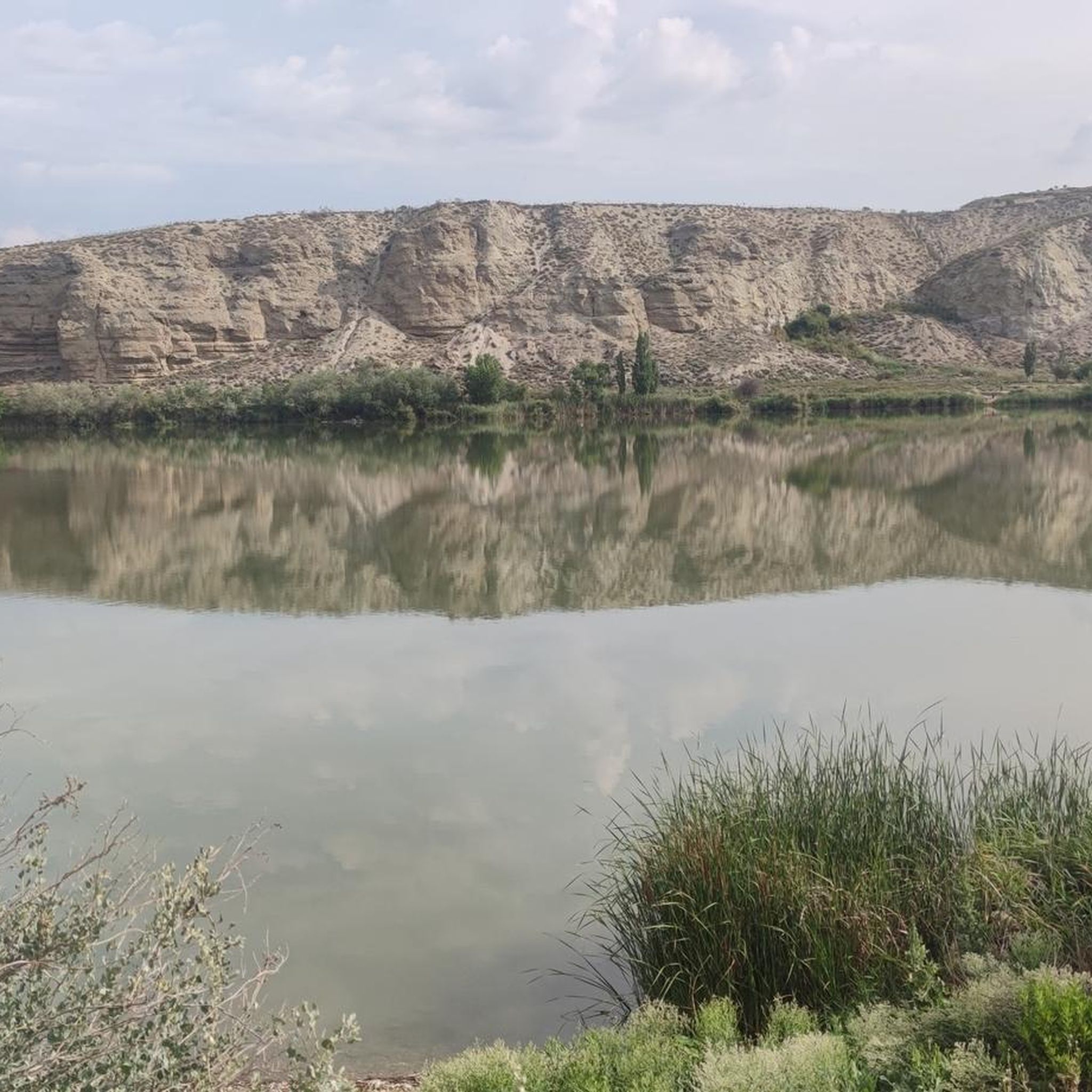
The Campillo Lagoon is located in Rivas Vaciamadrid, within the Southeast Regional Park, about 20 km from Madrid. It is a protected natural area, ideal for peaceful walks and outdoor activities. Origin: Artificial, formed in the 1960s and 70s after the extraction of aggregates in the Jarama River basin. Water from the aquifer filled the excavations and over time became a wetland with great biodiversity.
6
0
The Campillo Lagoon is located in Rivas Vaciamadrid, within the Southeast Regional Park, about 20 km from Madrid. It is a protected natural area, ideal for peaceful walks and outdoor activities. Origin: Artificial, formed in the 1960s and 70s after the extraction of aggregates in the Jarama River basin. Water from the aquifer filled the excavations and over time became a wetland with great biodiversity.
4
0

The Campillo Lagoon is located in the Southeast Regional Park, in the Spanish municipality of Rivas-Vaciamadrid, in the Community of Madrid. Its origin lies in the former gravel quarrying that took place in the Jarama River basin during the 1960s and 70s. Excavation went below the water table, and when quarrying ceased and the surrounding area was restored, this lagoon emerged, measuring approximately 4 kilometers in diameter and covering 35 hectares. After El Porcal Lagoon, it is the largest lagoon in the Southeast Regional Park. A peaceful place to relax, with numerous benches.
2
1

Longing for times past and the living history of the steam railway.
0
0
For the beautiful surroundings and landscape just a stone's throw from Madrid.
1
0
This lagoon is artificial in origin, created from the extraction of aggregates in the Jarama River basin during the 1960s and 1970s. It is an ideal place to enjoy nature, go hiking or cycling. The lagoon is approximately 5.5 km long and its average depth is 6 metres, although in some areas it can reach 20 metres. In addition, it has a natural resources interpretation centre that organises workshops and educational activities.
4
0

A beautiful lagoon to visit and spot seagulls, ducks and various birds. Highly recommended 👌
0
0
Frequently Asked Questions
How many hiking trails are available in Arganda del Rey?
Arganda del Rey offers a variety of hiking opportunities, with 18 distinct trails available for exploration. These routes cater to different preferences, ranging from easy walks to more challenging paths.
Are there easy hiking trails suitable for beginners or families in Arganda del Rey?
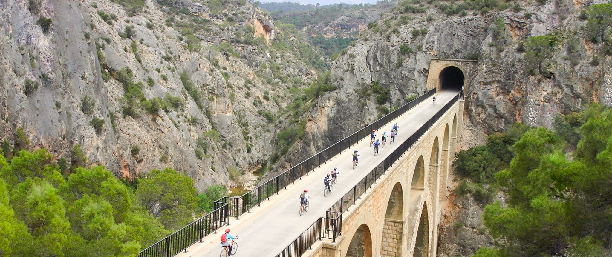
Yes, Arganda del Rey has 8 easy hiking trails perfect for beginners or families. These routes often feature gentle terrain, such as sections of the Vía Verde del Tajuña, which follows an old railway line, providing a pleasant and accessible experience through fertile plains.
What kind of landscapes can I expect to see while hiking in Arganda del Rey?
Hikers in Arganda del Rey will encounter diverse landscapes within the Sureste Regional Park. Expect to see Mediterranean forests, scrubland, pine forests, and holm oak stands. The region is also defined by the Jarama River valley, featuring significant wetlands and several lagoons, offering varied ecosystems and rich biodiversity.
Are there any circular hiking routes in the area?
Yes, many trails in Arganda del Rey are circular, allowing you to start and end at the same point. For example, the Fuente del Valle loop from Arganda del Rey offers a moderate 12.7 km path through varied Mediterranean landscapes. Another option is the Hiking loop from Arganda del Rey, which is 12.2 km long.
Can I bring my dog on the hiking trails in Arganda del Rey?
While specific regulations can vary, many natural areas in Spain, including parts of the Sureste Regional Park, generally allow dogs on trails, often requiring them to be on a leash. It's always advisable to check local signage or park rules for the specific trail you plan to hike to ensure a pleasant experience for everyone.
What are some notable natural attractions or landmarks to look out for?
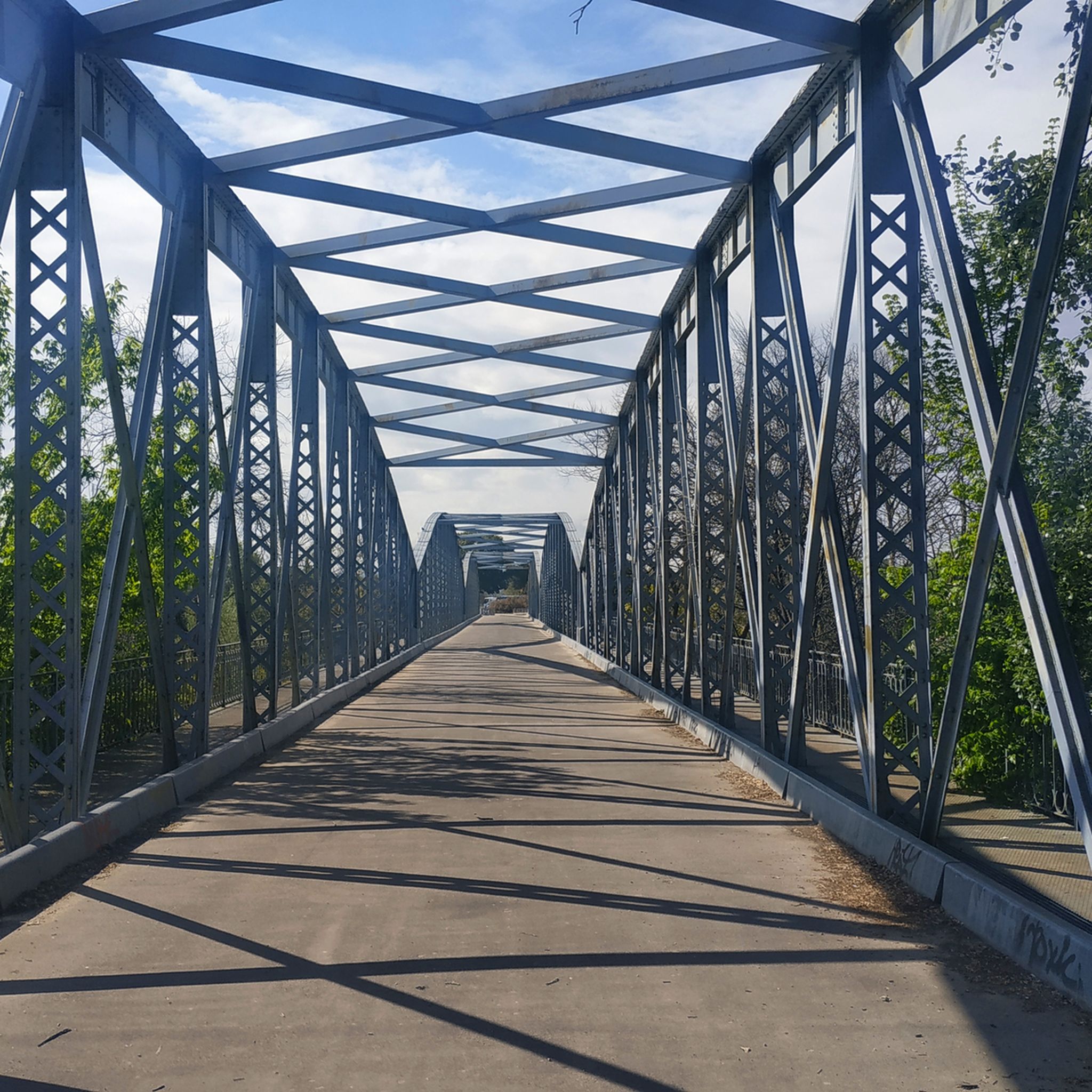
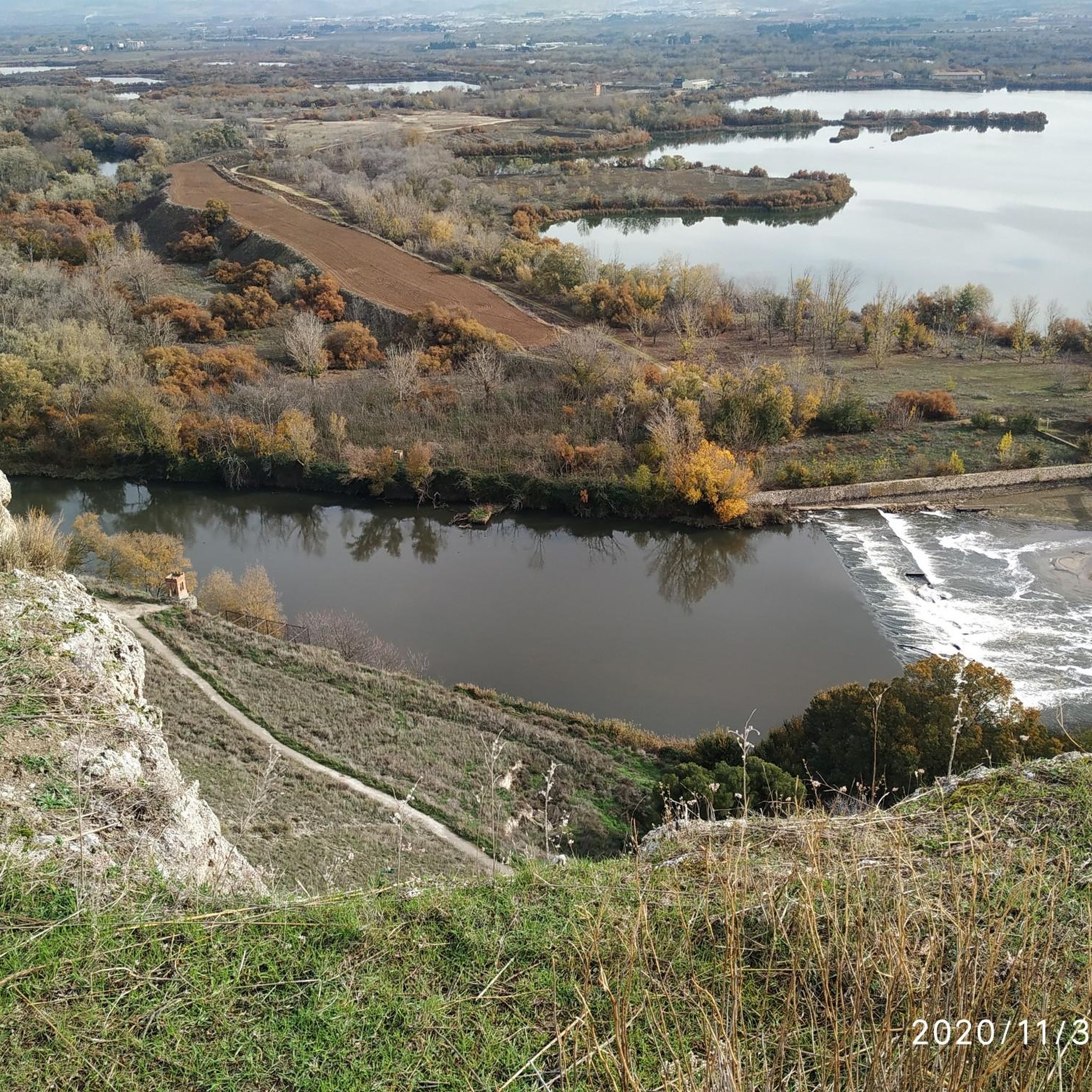
Arganda del Rey is rich in natural attractions. You can explore the Campillo Lagoon, a valuable natural reserve, or visit the Presa del Rey. The Jarama Cliffs offer impressive geological formations, and the La Poveda Railway Bridge is a historical landmark along the Vía Verde del Tajuña.
Is there public transport access to the hiking trails?
Arganda del Rey is well-connected to Madrid by public transport, including metro and bus services. Some trailheads, particularly those closer to the town center or along the Vía Verde del Tajuña, may be accessible via local bus routes. For specific routes like the Vía Verde, you can often reach nearby towns by public transport and start your hike from there.
Where can I find parking near the trailheads?
Parking is generally available at key access points for popular trails. For routes around the lagoons, such as the Campillo Lagoon, designated parking areas can often be found near the starting points in areas like La Poveda or Arganda del Rey itself. For the Vía Verde del Tajuña, parking is usually available in the towns it passes through.
What is the best time of year to go hiking in Arganda del Rey?
The best time to hike in Arganda del Rey is typically during spring (March to May) and autumn (September to November). During these seasons, the weather is mild and pleasant, and the natural landscapes are vibrant with flora. Summers can be very hot, making early mornings or late afternoons more suitable for hiking, while winters are generally mild but can be damp.
Are there any longer or more challenging hikes for experienced hikers?
Yes, while many trails are moderate, there is one difficult route available for experienced hikers seeking a greater challenge. The region's varied terrain, including ascents through areas of gall oaks and kermes oaks, can provide more demanding sections on some of the longer routes.
What do other hikers say about the trails in Arganda del Rey?
The hiking trails in Arganda del Rey are highly rated by the komoot community, with an average score of 4.4 stars from over 110 reviews. Hikers often praise the diverse natural landscapes, the tranquility of the Sureste Regional Park, and the well-maintained paths, especially along the Vía Verde del Tajuña and around the lagoons.
Are there any trails that pass by significant wetlands or lagoons?
Absolutely. The region is known for its network of lagoons and wetlands. The El Campillo Lagoon loop from La Poveda is a popular 8.6 km trail that circles the notable Campillo Lagoon, a valuable natural reserve for waterfowl. Another option is the El Campillo Lagoon loop from Arganda del Rey, a longer 15.1 km route through the protected natural area around the lagoon.
Are there any places to eat or drink near the hiking trails?
Yes, Arganda del Rey and the surrounding towns offer various options for refreshments. You can find cafes and restaurants in the town center of Arganda del Rey. Along popular routes like the Vía Verde del Tajuña, some villages or points of interest might have establishments where you can stop for a drink or a meal.
Most popular routes around Arganda Del Rey
Most popular attractions around Arganda Del Rey

Get inspired with the komoot mobile app


Explore more
Browse the best Hikes in other regions.
