The best road cycling routes around La Malahá
4.5
(202)
5,601
riders
74
rides
Road cycling around La Malahá offers a diverse landscape for cyclists, characterized by gently rolling hills, expansive plains, and imposing mountains. The region features mostly paved surfaces, making it suitable for road bikes, with routes winding through olive groves and alongside rivers. This varied topography provides options ranging from moderate rides with gentle elevation changes to more challenging routes with significant climbs.
Best road cycling routes around La Malahá
- The most popular road cycling route is Surrounding the Vega de…
Last updated: July 10, 2026
5.0
(1)
52
riders
50.4km
02:13
450m
450m
Moderate road ride. Good fitness required. Mostly well-paved surfaces and easy to ride.
5.0
(1)
118
riders
25.3km
01:11
280m
280m
Moderate road ride. Great for any fitness level. Some segments of this route may be unpaved and difficult to ride.

Sign up for free
5.0
(1)
57
riders
37.8km
01:51
500m
500m
Moderate road ride. Good fitness required. Mostly well-paved surfaces and easy to ride.
28
riders
Moderate road ride. Good fitness required. Some segments of this route may be unpaved and difficult to ride.
22
riders
185km
09:38
3,350m
3,350m
Hard road ride. Very good fitness required. Mostly well-paved surfaces and easy to ride.
Get access to more routes and recommendations from other explorers.
Sign up for free
Already have an account?
Our route recommendations are based on thousands of hikes, rides, and runs completed by other people on komoot.
Start today with a free account
Your next adventure awaits.
Login or Signup
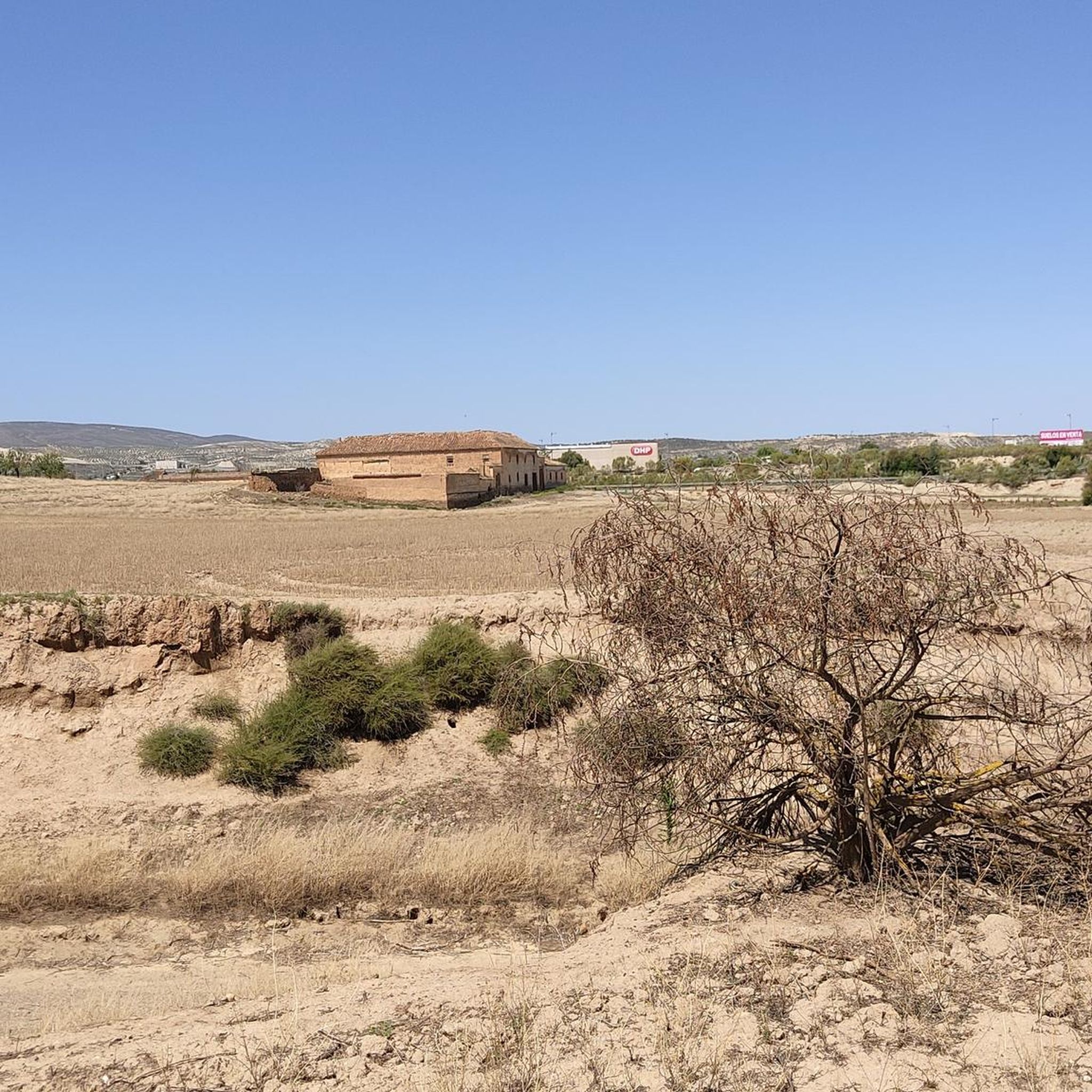
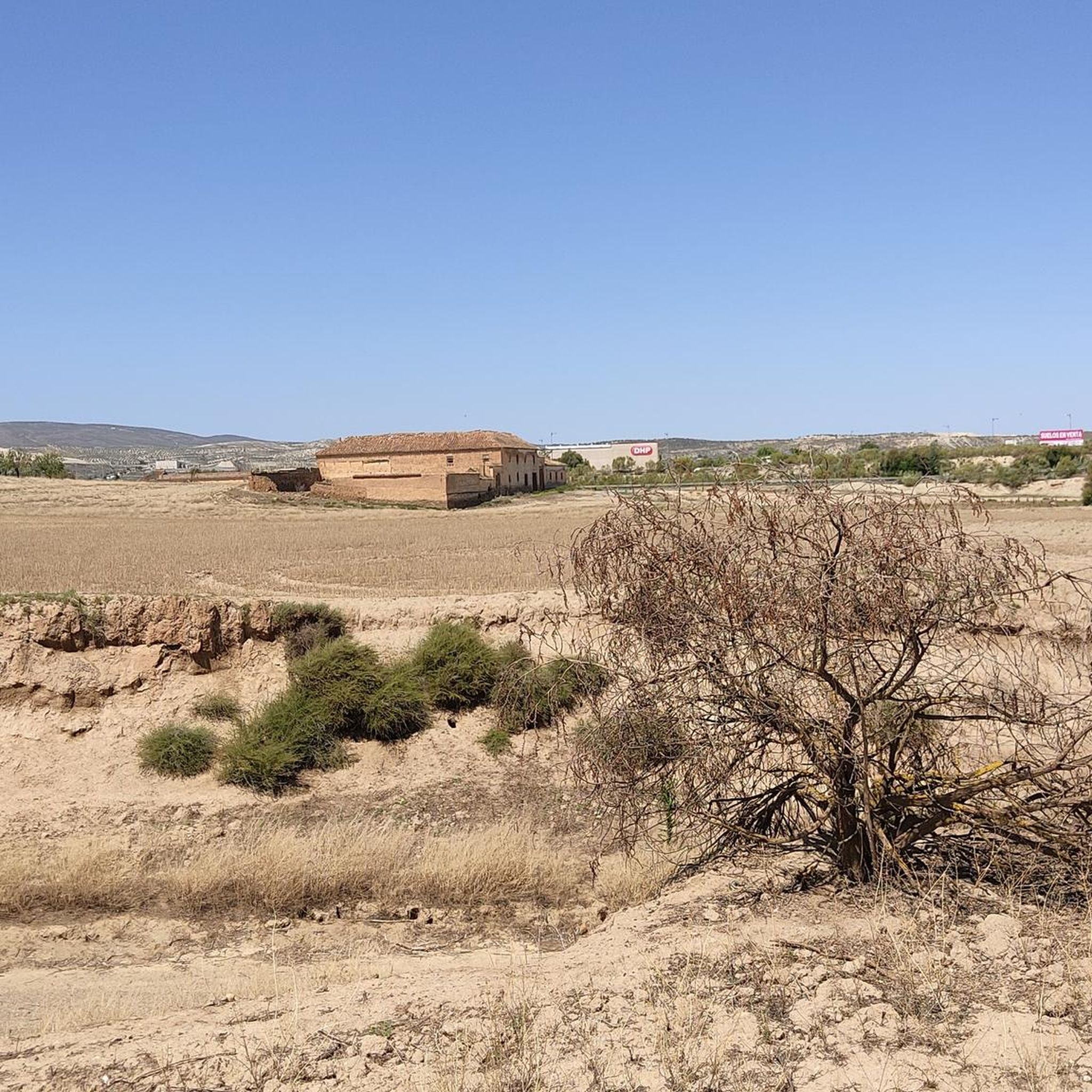
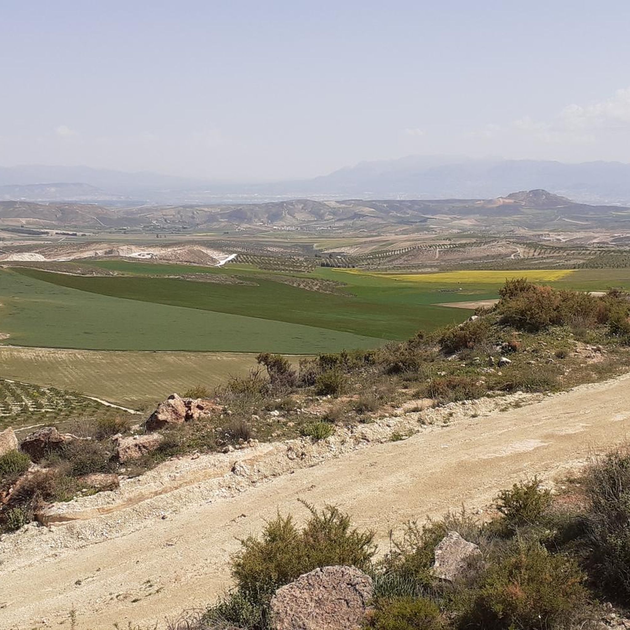
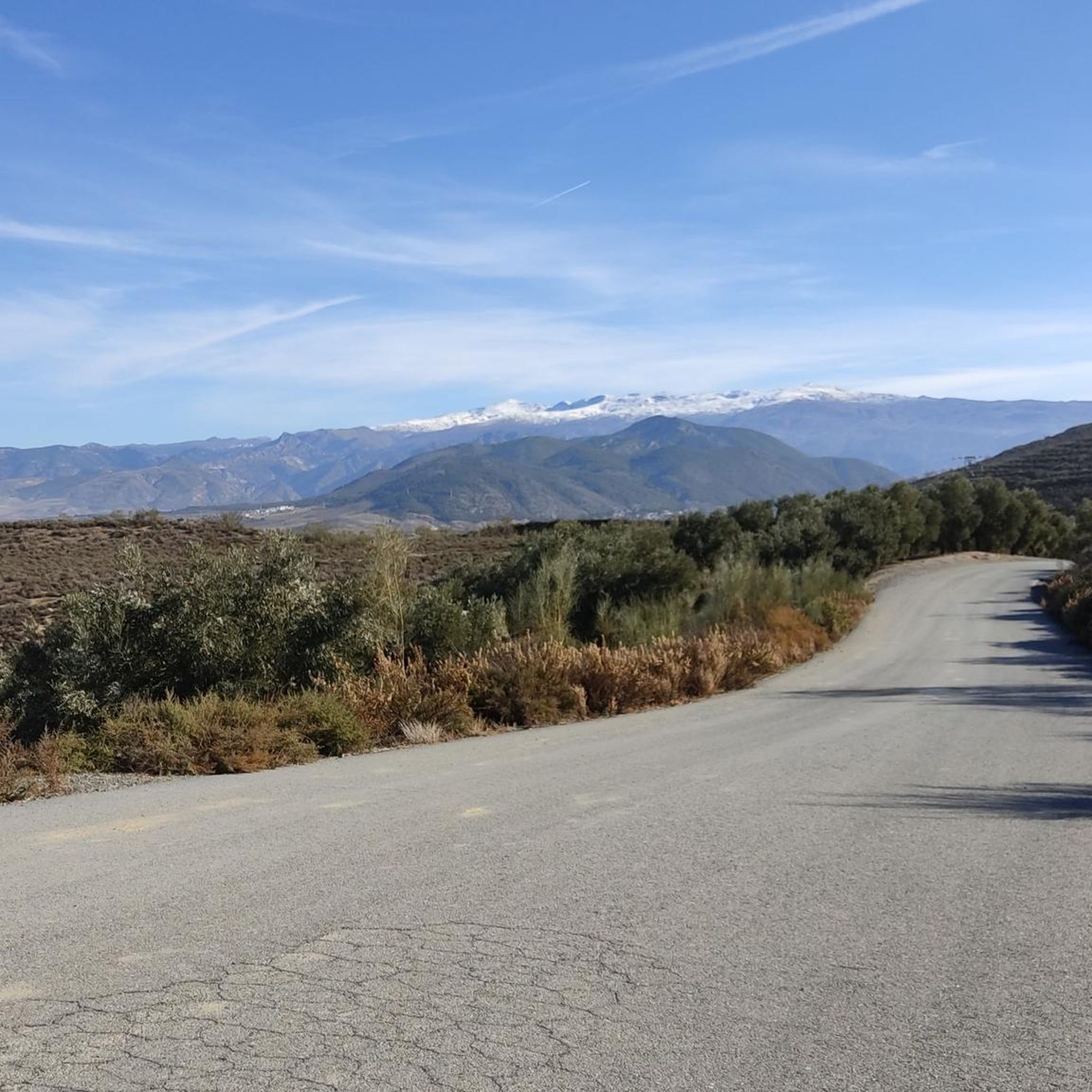
Tips from the Community

Beautiful fountain
0
0

The silence, the wind, the endless views of the Sierra
0
0

Stop yes or yes
1
1

The road is in perfect condition, with a gradient of between 7% and 11%. Beautiful forest surrounding the road with information points for those interested in nature and history.
1
0

Santa Fe is a municipality in the province of Granada, in the autonomous community of Andalusia. Located in the Vega de Granada and crossed by the Genil River from east to west, the municipal area is almost completely flat and has no mountainous heights.
3
0

The Cubillas Reservoir extends across the municipalities of Albolote and Atarfe. It was built in 1956 and is primarily used for water supply and agricultural irrigation. The reservoir has an area of 194 hectares and a maximum depth of approximately 20 meters. The reservoir's main tributary is the Cubillas River. The reservoir's surroundings are characterized by pine forests, oak trees, and Mediterranean vegetation, and the lake is an important habitat for many fish species. The Cubillas Reservoir also serves as a resting place for various bird species, including the Great Cormorant and the Dunnock. The reservoir offers numerous recreational opportunities, including sailing, windsurfing, canoeing, jet skiing, and water skiing. There is a large picnic area on the shore and a restaurant overlooking the lake.
2
1

Easy route highly recommended
0
0

Frequently Asked Questions
What kind of terrain can I expect when road cycling around La Malahá?
The region around La Malahá offers a diverse landscape for road cyclists, featuring a blend of gently rolling hills, expansive plains, and imposing mountains. Routes often wind through picturesque olive groves and alongside rivers, providing varied backdrops for your ride. Most surfaces are paved, ensuring a smooth experience.
Are there road cycling routes suitable for different skill levels in La Malahá?
Yes, La Malahá caters to various skill levels. You can find moderate bike rides with gentle elevation changes, such as the Surrounding the Vega de Granada — circular from Gabia Grande, which is 31.3 miles long. For more challenging options with significant climbs, routes like the Santa Fe – Quéntar Reservoir loop from Alhendín offer a strenuous workout.
What historical sites or natural landmarks can I see while cycling in the area?
La Malahá and its surroundings are rich in history and natural beauty. You might encounter ancient Roman and Arab structures, including a Roman Tower and Bridge, and the unique inland Salt Flats (Salinas de La Malahá). The area is also known for its therapeutic thermal waters. For natural sights, consider exploring the La Malahá Badlands or the Santa Fe Hot Springs.
Are there any scenic viewpoints along the road cycling routes?
Absolutely. The diverse topography of La Malahá, with its blend of plains, rolling hills, and mountains, offers numerous scenic spots. The Mirador Tajo Las Palomas provides breathtaking panoramic views of the surrounding area. Many routes, such as those through olive groves, offer beautiful rural vistas.
When is the best time of year for road cycling in La Malahá?
While specific seasonal recommendations aren't detailed, the region's generally pleasant climate makes it suitable for cycling for much of the year. Autumn is particularly noted for beautiful scenery along paths like the Genil Riverbank. It's always advisable to check local weather forecasts before planning your ride.
Are there family-friendly road cycling routes in La Malahá?
Yes, among the 65 road cycling routes available, 18 are classified as easy, making them suitable for families or those seeking a more relaxed ride. These routes typically feature mostly paved surfaces and gentle elevation changes, allowing for an enjoyable experience for all.
What do other road cyclists enjoy most about cycling in La Malahá?
The road cycling routes around La Malahá are highly rated by the komoot community, with an average score of 4.5 stars from over 130 reviews. Cyclists often praise the diverse landscapes, ranging from plains and olive groves to rolling hills, and the well-maintained paved surfaces that make for an excellent road biking experience.
Are there circular road cycling routes available from La Malahá or nearby towns?
Yes, many routes in the area are designed as loops. Examples include the Granada loop from Alhendín, which covers 36.2 miles, and the more challenging Cárcavas de La Malahá – Embalse de Bermejales loop from Alhendín, spanning 53.9 miles through diverse landscapes.
Can I find routes that combine cycling with exploring natural features like rivers or ravines?
Certainly. The region is situated between the Río Santapudia and Río Salado rivers, and the Río Cacín, with its impressive rocky ravines, is also nearby. The Path along the Genil River (Ruta del Colesterol) is a popular and accessible route offering beautiful scenery, especially in autumn, suitable for cycling.
How long are the road cycling routes around La Malahá on average?
The routes vary significantly in length. For instance, a moderate option like Surrounding the Vega de Granada — circular from Gabia Grande is about 31.3 miles (50.4 km), taking around 2 hours and 12 minutes. Longer, more challenging routes, such as the Cárcavas de La Malahá – Fountain of Agrón loop from Alhendín, can extend to 37.3 miles (60 km) or more.
What are the most challenging road cycling routes in the La Malahá area?
For experienced cyclists seeking a challenge, routes like the Santa Fe – Quéntar Reservoir loop from Alhendín are classified as difficult. This route covers 54.5 miles (87.7 km) with significant elevation gain, providing a demanding yet rewarding experience through varied terrain.
Most popular attractions around La Malahá

Get inspired with the komoot mobile app


Explore more
Browse the best Road cycling routes in other regions.
