The best running trails around Camarena De La Sierra
39
runners
5
runs
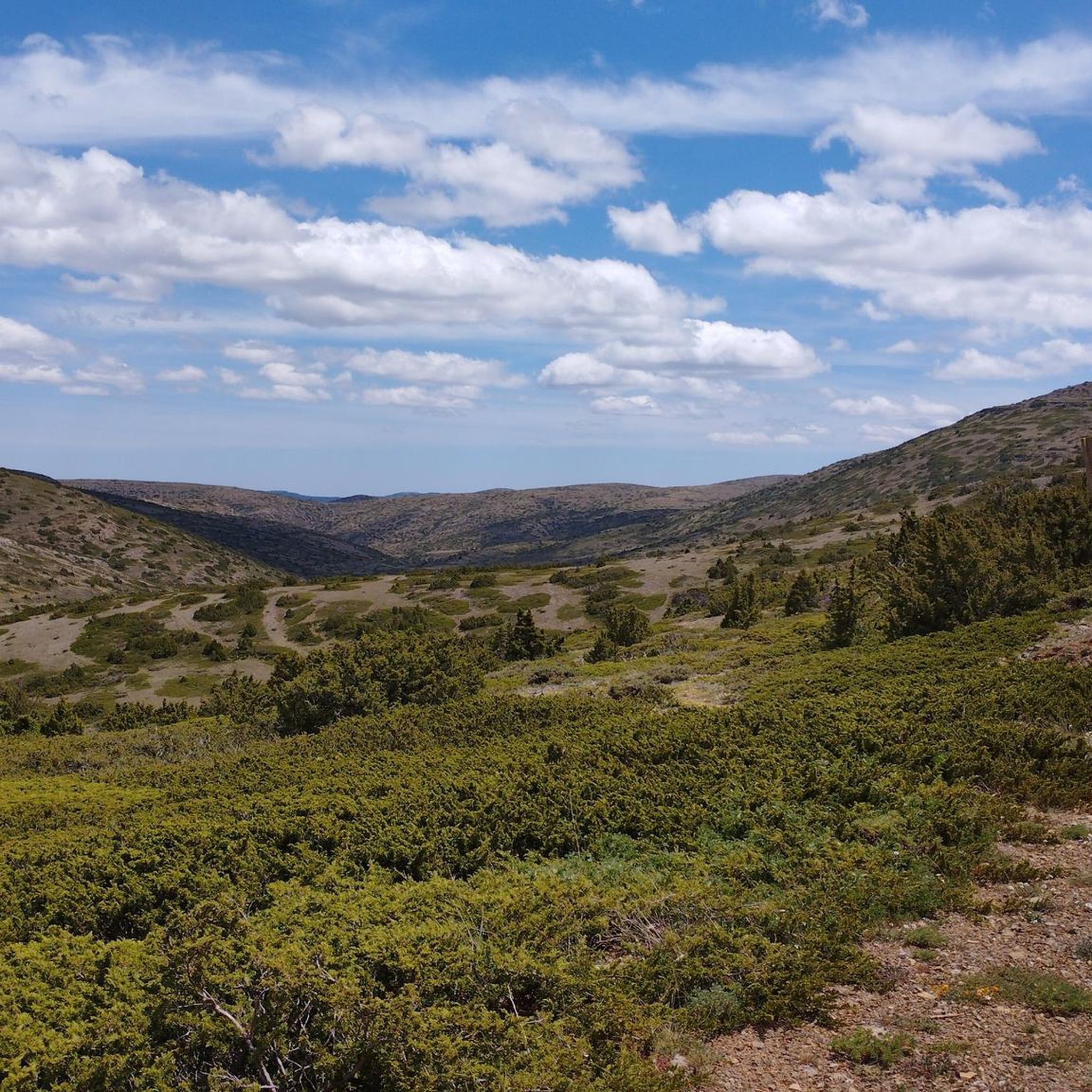
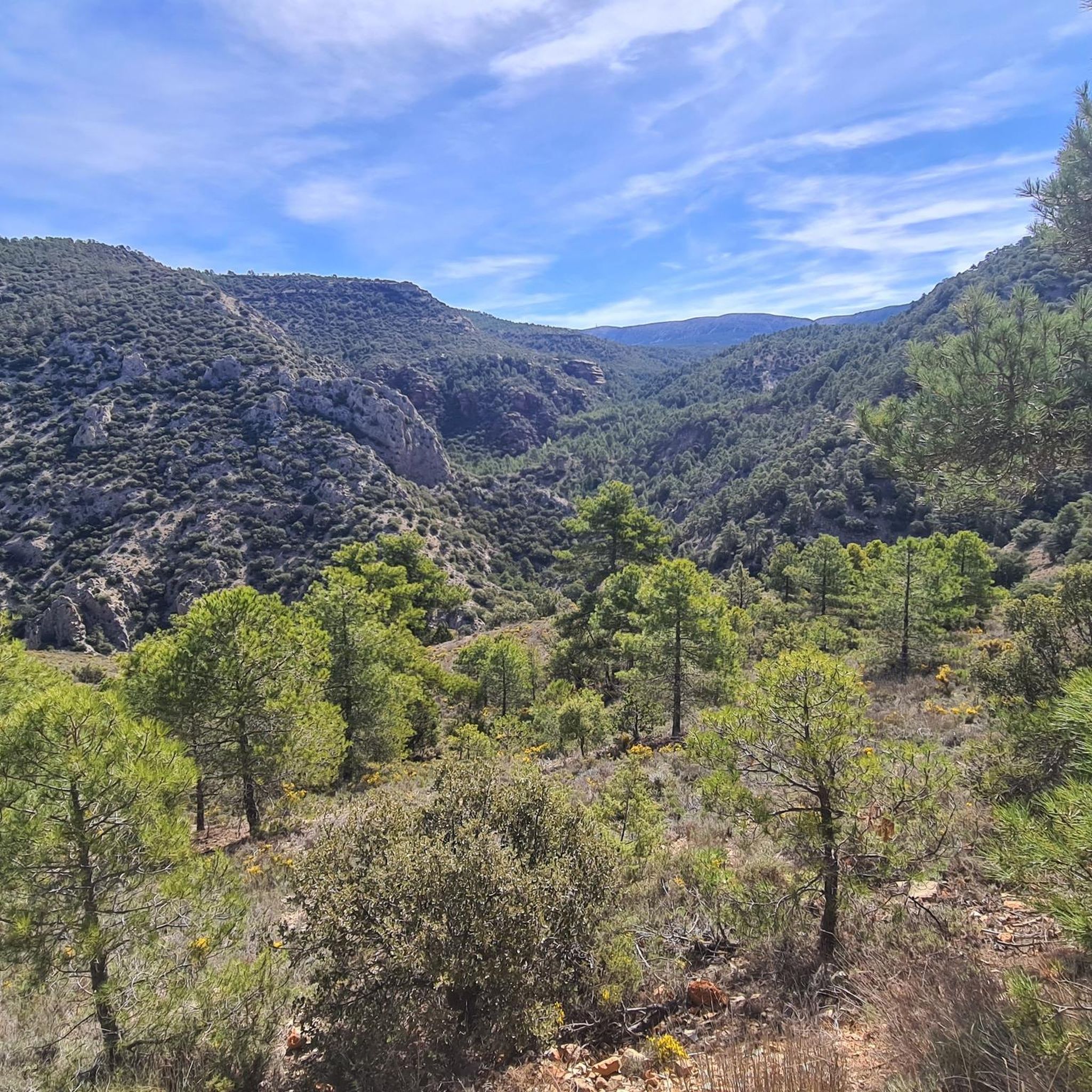
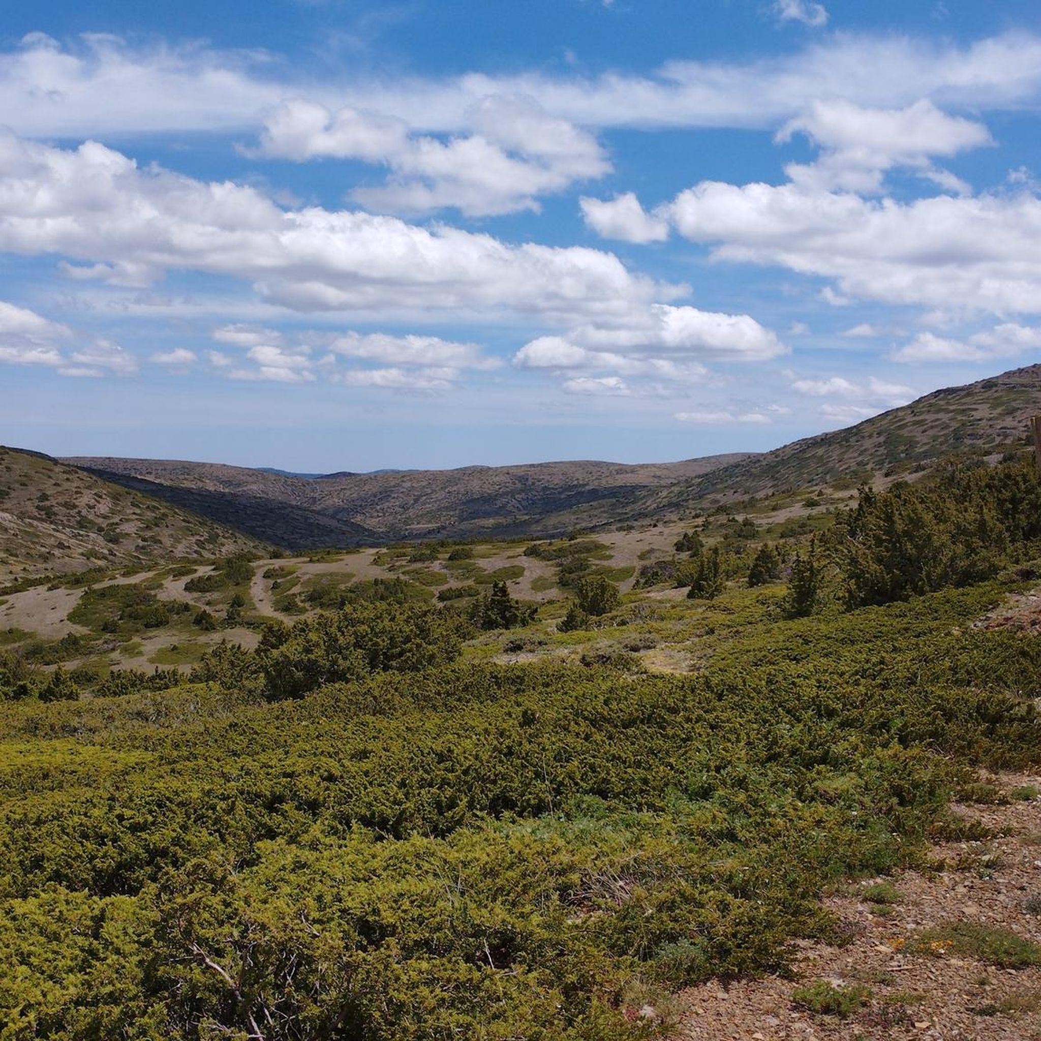
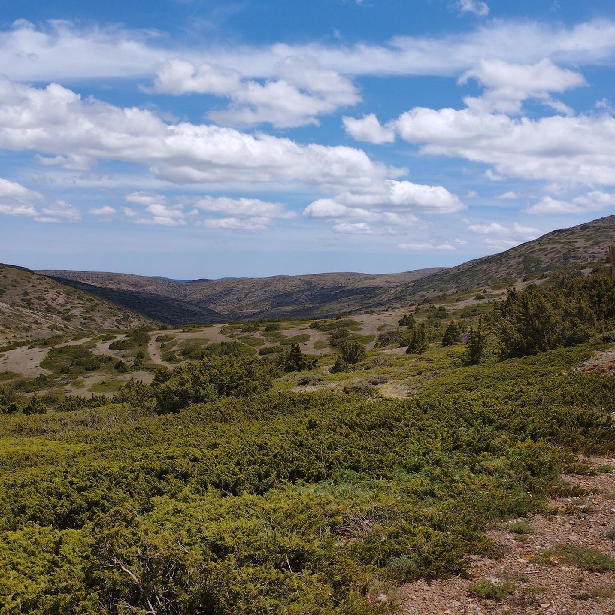
Jogging around Camarena De La Sierra offers diverse running experiences within the Sierra de Javalambre mountains. The region features a rugged topography with varied altitudes, extensive forests, and numerous natural springs. This mountainous terrain, ranging from 1000 to 2020 meters, provides a range of environments for trail running. The landscape is characterized by high-mountain scenery and abundant water sources, creating attractive fluvial trails.
Best jogging routes around Camarena De La Sierra
- The most popular jogging route is Javalambre – trail run circular from Javalambre Ski Resort, a 4.1 miles (6.6 km) trail that takes 1 hour 1 minute to complete. This difficult route offers high-mountain scenery around the ski resort area.
- Another top favourite among local runners is Refugio Rabadá y Navarro – Pico Javalambre loop from Parking Estación Javalambre, a difficult 15.8 miles (25.4 km) path. This route features significant elevation changes and panoramic views towards Pico Javalambre, passing a mountain refuge.
- Local runners also love the Collado de la Matanza – Camarena de la Sierra loop from Camarena de la Sierra, a 7.9 miles (12.7 km) trail leading through varied high-mountain landscapes, often completed in about 1 hour 55 minutes.
- Jogging around Camarena De La Sierra is defined by mountainous terrain, extensive pine forests, and natural springs. The network offers options for different ability levels, though all listed routes are considered difficult.
- The guide includes highly-rated routes that showcase the best of the region's landscape. More than 60 runners have used komoot to explore Camarena De La Sierra's varied terrain.
Last updated: June 30, 2026
6.65km
01:01
320m
320m
Hard run. Very good fitness required. Mostly paved surfaces. Suitable for all skill levels.
17
runners
25.3km
04:27
1,770m
1,770m
Hard run. Very good fitness required. Mostly paved surfaces. Suitable for all skill levels.

Sign up for free
3
runners
Hard run. Very good fitness required. Mostly paved surfaces. Suitable for all skill levels.
4
runners
31.8km
04:11
1,050m
1,050m
Hard run. Very good fitness required. Mostly paved surfaces. Suitable for all skill levels.
Our route recommendations are based on thousands of hikes, rides, and runs completed by other people on komoot.
Start today with a free account
Your next adventure awaits.
Login or Signup

Other adventures around Camarena De La Sierra

Tips from the Community

The Rabadá and Navarro refuge is located in the heights of the Javalambre mountain range, very close to the ski resort. It has a capacity of 74 beds and offers blankets, heating, hot showers, food service and a bar.
1
0

Located at an altitude of 1,715 meters, this refuge is accessible from La Puebla de San Miguel or Camarena de la Sierra. The refuge is a simple stone hut with basic amenities such as a small fireplace and a nearby fountain called Fuente del Pozo. It is an ideal place for hikers looking to rest for the night while exploring the Sierra de Javalambre.🚴🚶♀️🚵🌄
4
0

a really gorgeous place - perfect for an overnight stay
3
0

The summit is 2019 meters high. The path is demanding, but it is worth the effort. The panoramic views of the surrounding mountains are like something out of a movie.
2
0

Minimalistic shelter, enough to protect you from the weather. Keep in mind to bring enough water since there is no spring nearby.
3
1

We are at Pico Javalambre at an altitude of 2,019 meters, considered a sacred mountain by many nature lovers and/or Turolenses. It is the highest peak of the mountain range that bears his name, it is considered by the majority of Teruel residents to be the roof of their province, although the true roof of Teruel is the top of Peñarroya. If we have the opportunity to climb here when there is no snow, we will be able to appreciate the so-called "leopard skin" caused by the vegetation on the entire surface of the massif, a work of art of nature!
2
0
Small refuge with wonderful views just 2km from Pico Calderón (1838m), which is worth visiting as it is the highest peak in the Valencian Community. The shelter will serve us in the event of a storm or if we want to recover energy and more precisely if we want to spend the night in it during the winter, since it does not have a door.
3
2
Frequently Asked Questions
What kind of terrain can I expect on the running trails around Camarena de la Sierra?
The running trails in Camarena de la Sierra are characterized by a rugged, high-mountain topography within the Sierra de Javalambre. You'll encounter varied altitudes, extensive pine forests, and numerous natural springs. Many routes feature significant elevation changes, offering a challenging yet rewarding experience for trail runners.
Are there any easy running routes available in Camarena de la Sierra?
Currently, all the running routes listed in this guide for Camarena de la Sierra are considered difficult due to the mountainous terrain and significant elevation changes. The region's landscape, with altitudes ranging from 1000 to 2020 meters, naturally lends itself to more challenging trail running experiences.
Can I find circular running trails in Camarena de la Sierra?
Yes, there are several excellent circular running trails. For instance, the Javalambre – trail run circular from Javalambre Ski Resort is a 6.6 km difficult route offering high-mountain scenery. Another option is the Collado de la Matanza – Camarena de la Sierra loop from Camarena de la Sierra, which is a 12.7 km trail through varied high-mountain landscapes.
Are there any running routes that pass by waterfalls or significant water features?
Yes, the region is known as the 'village of a thousand springs' and features abundant water sources. The Amanaderos Waterfalls are a notable natural feature, accessible via a challenging 23.4 km trail from Camarena de la Sierra, which is part of the GR 10 long-distance footpath. You'll find lush riverside paths nourished by natural springs throughout the area.
What are some notable landmarks or viewpoints I can see while jogging?
Many routes offer panoramic views, especially towards Pico Javalambre, the highest point in the Sierra de Javalambre. The Refugio Rabadá y Navarro – Pico Javalambre loop from Parking Estación Javalambre specifically features significant elevation changes and panoramic vistas towards the peak. You might also encounter the Fuente del Cabrito, a natural monument, or the extensive Las Blancas (Juniper Forest).
Are the running trails in Camarena de la Sierra suitable for dogs?
Generally, the outdoor trails in Camarena de la Sierra are dog-friendly, allowing you to enjoy the natural beauty with your canine companion. However, always ensure your dog is under control, especially in areas with wildlife or livestock, and be mindful of local regulations regarding leashes. Remember to carry enough water for both yourself and your dog, particularly on longer or more exposed routes.
What is the best time of year to go jogging in Camarena de la Sierra?
The best time for jogging in Camarena de la Sierra is typically during spring and autumn when temperatures are milder and the natural landscape is vibrant. Summer can be warm, especially at lower elevations, so early morning or late afternoon runs are advisable. Winter offers a unique experience, but higher elevations may have snow, requiring appropriate gear and caution.
Are there any mountain refuges or shelters along the running routes?
Yes, some routes pass by mountain refuges that can serve as potential stopping points or bases for longer runs. For example, the Refugio Rabadá y Navarro – Pico Javalambre loop from Parking Estación Javalambre passes by a mountain refuge. The Collado del Buey Shelter is another such facility in the area.
How long are the running routes in Camarena de la Sierra?
The running routes in Camarena de la Sierra vary in length. For instance, the Javalambre – trail run circular from Javalambre Ski Resort is 6.6 km, while the Refugio Rabadá y Navarro – Pico Javalambre loop from Parking Estación Javalambre is a more demanding 25.4 km. There are also longer options like the 36.4 km Javalambre loop from Parking Estación Javalambre.
Are there recreational areas or picnic spots near the running trails?
Yes, the natural environment around Camarena de la Sierra features several picnic and recreational areas. These spots often include natural springs, trees, tables, and sometimes grills, making them ideal for starting points, rest areas, or post-run relaxation. Examples include areas near Fuente Matahombres and Fuente el Cabrito.
What is the total number of running routes available in Camarena de la Sierra?
There are 8 running routes available in Camarena de la Sierra, all of which are classified as difficult due to the challenging mountainous terrain and significant elevation changes.
What makes the running experience in Camarena de la Sierra unique?
The running experience in Camarena de la Sierra is unique due to its location within the high-mountain scenery of the Sierra de Javalambre. The region's rugged topography, abundant natural springs (earning it the nickname 'village of a thousand springs'), extensive pine forests, and a network of long-distance footpaths like the GR-10 and GR-8, offer diverse and invigorating trail running opportunities.
Most popular routes around Camarena De La Sierra
Most popular attractions around Camarena De La Sierra

Get inspired with the komoot mobile app


Explore more
Browse the best Running Trails & Routes in other regions.
