The best walks and hikes around San Vicente De La Cabeza
6
hikers
4
hikes
Hiking around San Vicente De La Cabeza offers routes through rural landscapes and rolling hills in the Zamora province of Spain. The area features a mix of open countryside, agricultural land, and some forested sections. Trails often follow established paths, providing access to the region's natural environment. The terrain generally includes moderate elevation changes, suitable for various hiking abilities.
Best hiking trails around San Vicente De La Cabeza
- The most popular hiking route is Castros de Castillan y Valdemera —…
Last updated: July 4, 2026
2
hikers
8.44km
02:27
240m
250m
Moderate hike. Good fitness required. Easily-accessible paths. Suitable for all skill levels.
14.8km
04:00
190m
190m
Moderate hike. Good fitness required. Mostly accessible paths. Sure-footedness required.

Sign up for free
11.2km
02:59
130m
130m
Moderate hike. Good fitness required. Easily-accessible paths. Suitable for all skill levels.
2
hikers
5.31km
01:25
60m
60m
Easy hike. Great for any fitness level. Easily-accessible paths. Suitable for all skill levels.
2
hikers
18.6km
05:00
230m
230m
Moderate hike. Good fitness required. Easily-accessible paths. Suitable for all skill levels.
Our route recommendations are based on thousands of hikes, rides, and runs completed by other people on komoot.
Start today with a free account
Your next adventure awaits.
Login or Signup
Popular around San Vicente De La Cabeza
Tips from the Community

Rabanales is known in the Aliste region for preserving a historic center with abundant examples of traditional stone architecture, a hallmark of western Zamora. This architecture is characterized by its robustness, its integration with the landscape, and the use of local materials. The traditional houses and buildings are constructed primarily with local stone, especially granite, which provides solidity and a distinctive rustic aesthetic.
2
0

another example of a corral restored a few years ago
1
0
wonderful enclave with traditional corals
1
0

Rabanales is a small town located in the Aliste region with the typical traditional local architecture of masonry buildings.
1
1

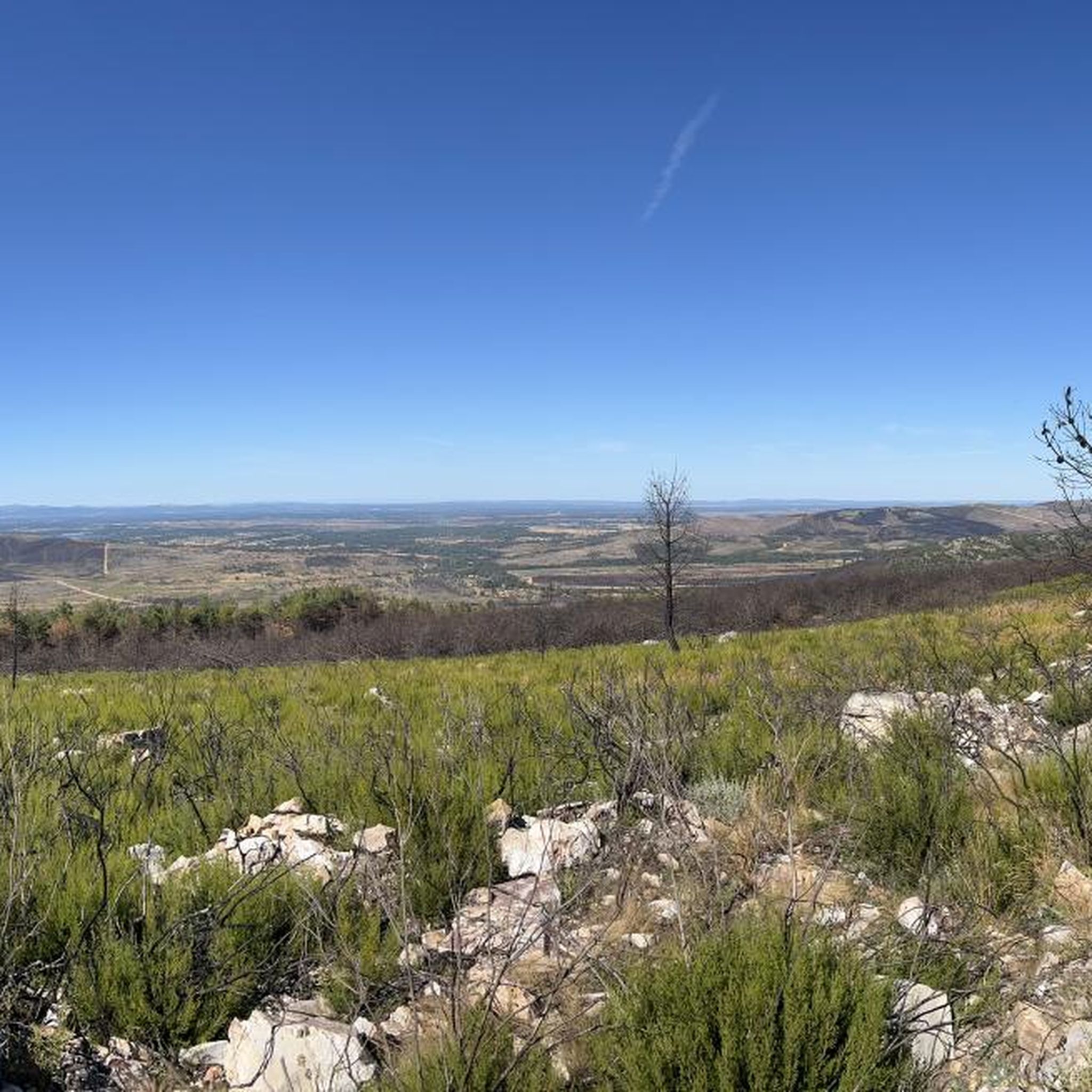
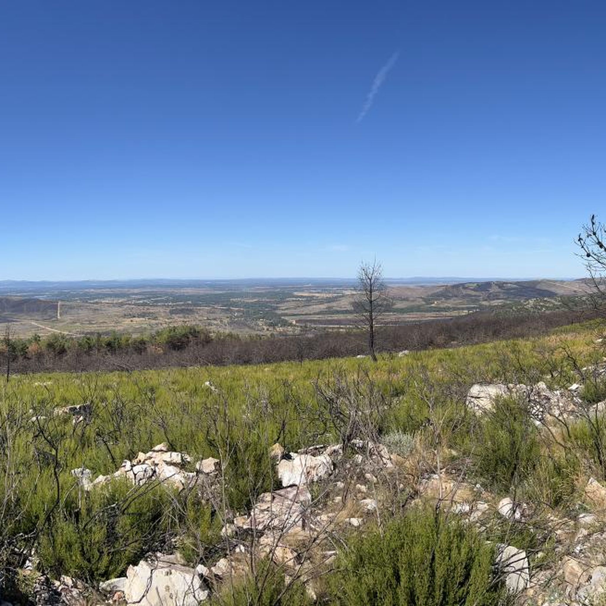
Walking through the dense pine forests, we come across the stone outcrop where the Castro de Valdemera sits. Before beginning the access to the rocky ridges we find a spring in the same rock, surrounded by stones, which rather forms a deep pool. From the top we can see the walled complex of the castro, surrounded by the remains of the wall. Climbing to the top of the stones, we can contemplate the entire Sierra de la Culebra and give you an idea of how big the castro was.
1
0
Following the path between chestnut and pine trees we arrive at the Castillán fort. The views from the top are really beautiful and allow you to contemplate the entire Sierra de la Culebra and get an idea of how big the castro was. Awesome!
1
0
Picturesque stone bridge that crosses the Mena river giving us a beautiful print.
2
0
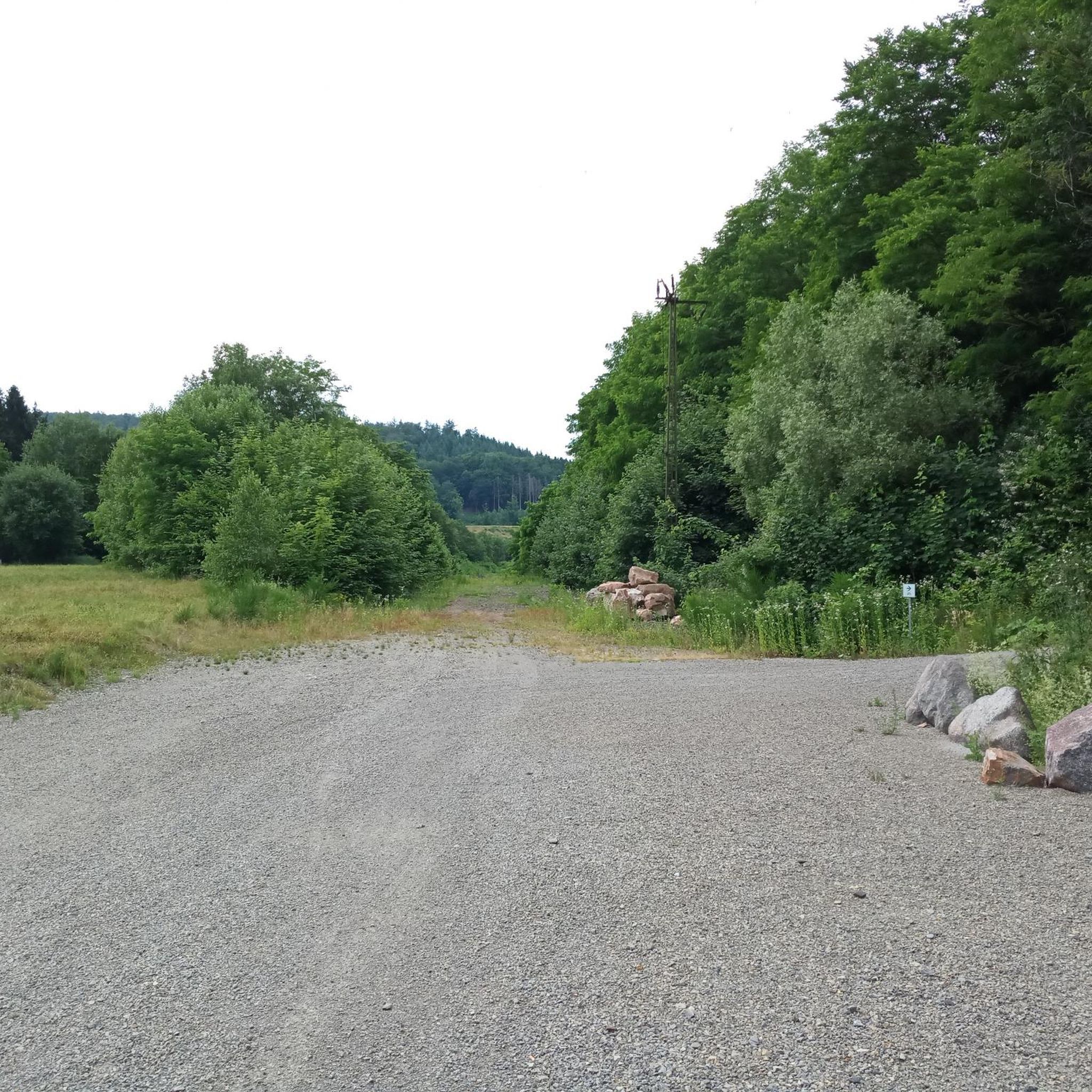
Beautiful views as we walk along the picturesque path along the banks of the Mena River, near the town of Rabanales. A little more than 500 meters away we will find the Los Enfermos fountain, where some stone benches and tables await us in case we want to take a break.
2
0
Frequently Asked Questions
Are there easy hiking trails suitable for beginners in San Vicente De La Cabeza?
Yes, the region offers easy routes. For instance, the Abejera Shoeing Frame loop from Abejera is an easy 3.3 miles (5.3 km) trail that can be completed in about 1 hour 25 minutes, perfect for a relaxed walk.
What are the typical distances and durations for hikes in San Vicente De La Cabeza?
Hikes in this area vary in length and duration. You can find shorter routes like the Abejera Shoeing Frame loop from Abejera at 3.3 miles (5.3 km) taking about 1 hour 25 minutes, up to longer trails such as the Abejera Shoeing Frame – Corrales de Tozalfreno loop from Abejera, which is 11.5 miles (18.5 km) and typically takes over 5 hours.
Is parking available at the trailheads in San Vicente De La Cabeza?
While specific parking details for each trailhead are not provided, hiking routes in rural areas like San Vicente De La Cabeza often have roadside parking or small designated areas near the starting villages. It's recommended to check local signage or village information upon arrival.
Are there family-friendly hiking options in the region?
Yes, the area includes routes suitable for families. The Abejera Shoeing Frame loop from Abejera is an easy trail that could be a good option for families looking for a shorter, less strenuous walk.
Are dogs allowed on the hiking trails in San Vicente De La Cabeza?
Generally, dogs are welcome on hiking trails in rural Spain, especially if kept under control. However, it's always advisable to check local regulations or signage at specific trailheads, particularly if passing through agricultural land or protected areas.
Are there any more challenging or advanced hikes in San Vicente De La Cabeza?
For those seeking a more demanding experience, the Abejera Shoeing Frame – Corrales de Tozalfreno loop from Abejera is classified as a difficult route, covering 11.5 miles (18.5 km) with significant elevation changes.
What is the best time of year to go hiking in San Vicente De La Cabeza?
The region experiences a Mediterranean climate with continental influence. Spring and autumn generally offer the most pleasant hiking conditions with milder temperatures. Summer can be hot, making early morning or late afternoon hikes preferable, while winter can bring colder weather.
What kind of scenery can I expect on the hiking trails?
Hiking around San Vicente De La Cabeza offers routes through rural landscapes and rolling hills in the Zamora province. You'll encounter a mix of open countryside, agricultural land, and some forested sections, with trails often following established paths.
Are there any circular walks available in San Vicente De La Cabeza?
Yes, many routes in the area are circular, allowing you to start and end in the same location. An example is the Castros de Castillan y Valdemera — circular desde Ferreras de Arriba, a moderate 5.2 miles (8.4 km) loop.
What interesting places or landmarks can I explore near the hiking trails?
While hiking, you can explore several points of interest. Consider visiting the traditional settlement of Manzanal de Arriba, the natural monument of Fidionda Spring, or the historical site of Castro de Valdemera. The village of Rabanales also features traditional stone architecture.
What do other hikers enjoy most about hiking in San Vicente De La Cabeza?
Hikers often appreciate the region's tranquil rural paths, open fields, and gentle hills. The variety of routes caters to different ability levels, providing a pleasant experience for exploring the natural environment of the Zamora province.
Most popular attractions around San Vicente De La Cabeza

Get inspired with the komoot mobile app


Explore more
Browse the best Hikes in other regions.
