The best walks and hikes around San Vitero
3.5
(2)
5
hikers
5
hikes
Hiking around San Vitero provides access to the tranquil rural landscapes of the Aliste region in Zamora, Spain. The area is characterized by a gentle, rounded relief, featuring pine and cork oak forests, chestnut trees, and various shrubs. Rivers and streams crisscross the terrain, contributing to diverse ecosystems and deep valleys. This setting offers a peaceful retreat for outdoor enthusiasts.
Best hiking trails around San Vitero
- The most popular hiking route is Route of the Wolves — return from Trabazos…
Last updated: July 4, 2026
3.5
(2)
3
hikers
14.8km
04:13
340m
340m
Moderate hike. Good fitness required. Easily-accessible paths. Suitable for all skill levels.
1
hikers
10.1km
02:44
140m
130m
Moderate hike. Good fitness required. Easily-accessible paths. Suitable for all skill levels.

Sign up for free
1
hikers
11.7km
03:21
280m
280m
Moderate hike. Good fitness required. Easily-accessible paths. Suitable for all skill levels.
7.62km
02:14
210m
210m
Moderate hike. Good fitness required. Easily-accessible paths. Suitable for all skill levels.
11.2km
02:59
130m
130m
Moderate hike. Good fitness required. Easily-accessible paths. Suitable for all skill levels.
Our route recommendations are based on thousands of hikes, rides, and runs completed by other people on komoot.
Start today with a free account
Your next adventure awaits.
Login or Signup
Popular around San Vitero
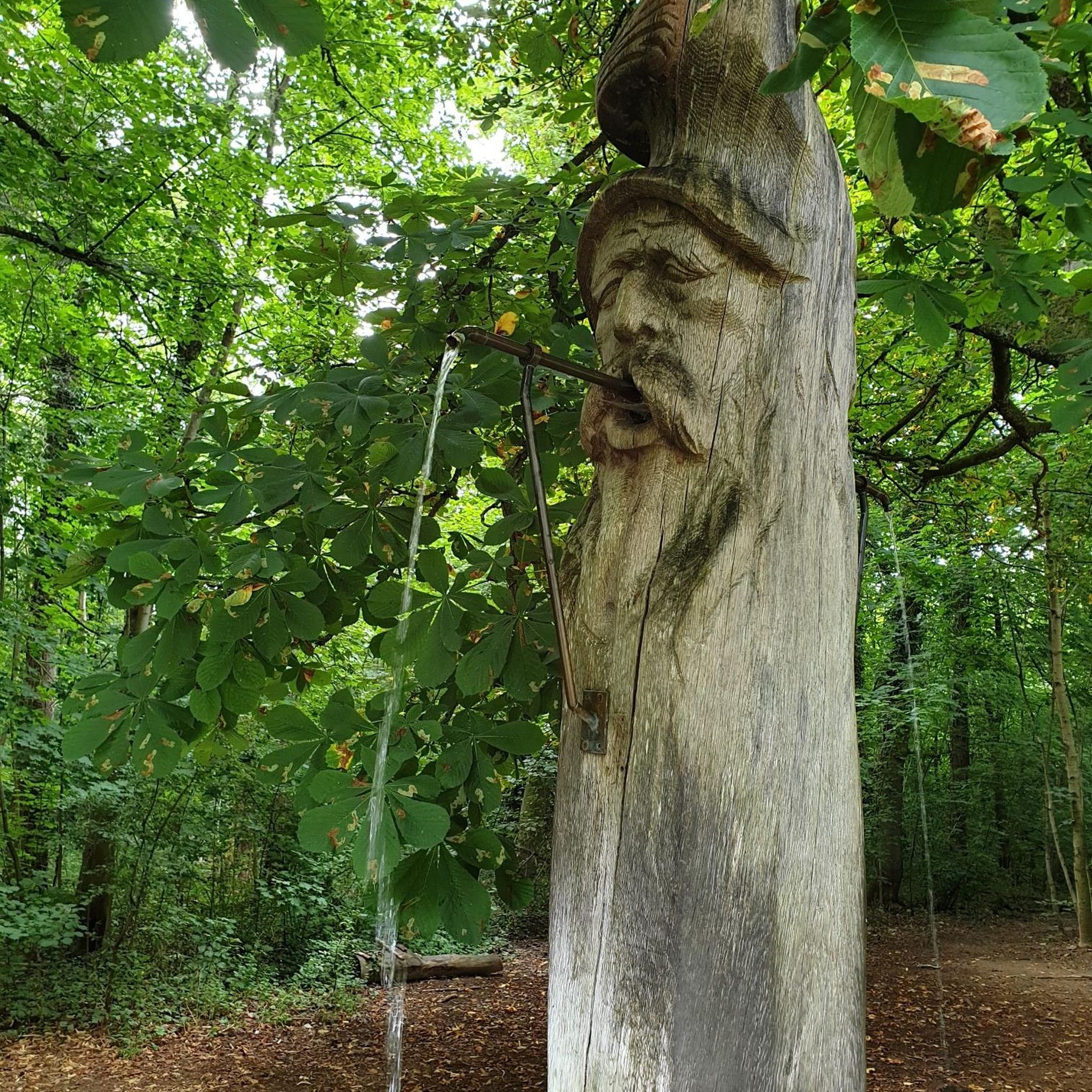

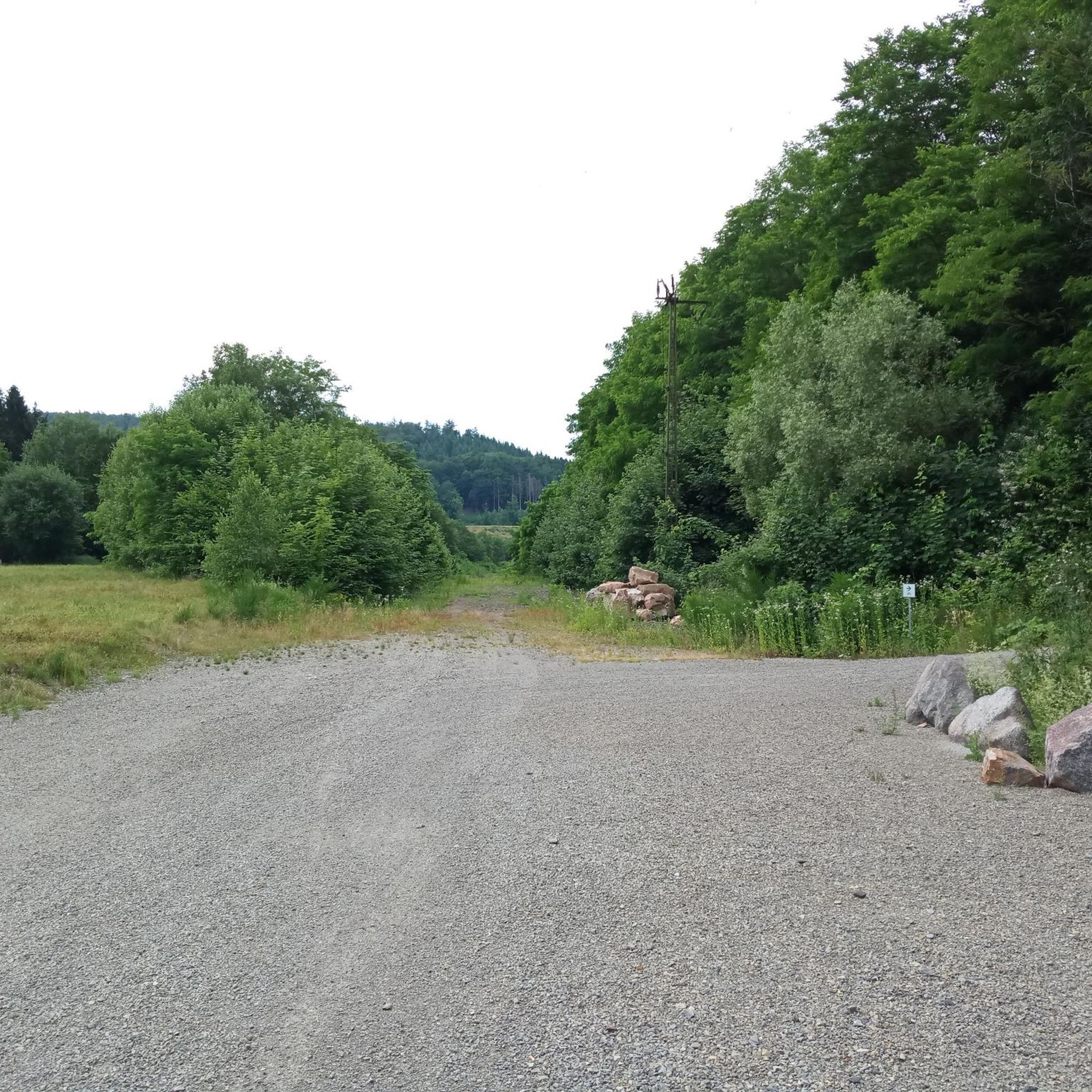
Tips from the Community

Rabanales is known in the Aliste region for preserving a historic center with abundant examples of traditional stone architecture, a hallmark of western Zamora. This architecture is characterized by its robustness, its integration with the landscape, and the use of local materials. The traditional houses and buildings are constructed primarily with local stone, especially granite, which provides solidity and a distinctive rustic aesthetic.
2
0
Peña el Pingón is a prominent natural landmark on the hiking trails of Alcañices. Located in a spectacular setting, it is one of the most highly recommended spots by both local and visiting hikers. At the base of Peña el Pingón, or in its immediate vicinity, lies a cave, seamlessly integrated into the surrounding rocky landscape. It adds to the area's charm and is a popular stopping point on hiking routes.
2
0

Following the undulating curves of the Ribera de Arriba along the gravel track of the canyon, crossing paths through pine forests, the river is crossed by a small bridge. You can stop and cool off in the waters on a warm summer day.
1
0
Rabanales is a small town located in the Aliste region with the typical traditional local architecture of masonry buildings.
1
1

Close to the forest border between Spain and Portugal, we are surprised by this beautiful picture that offers us a forest track between pine forests while we walk along a wide dirt road.
3
0
At this point of the route we find the El Pingón rock located in a spectacular environment, just like the kilometers that lie ahead of us. In the place there is a cave and a picturesque bridge.
3
0
After crossing a narrow valley we arrive at Boca Barreros where we can admire the reservoir that makes up the dam of the same name. To your left is the Barreros Fountain signposted.
2
0
Arriving at Fuente Ferrada, we can rest in the picnic area sheltered in the shade of hundred-year-old holm oaks, accompanied by the sound of the waters and enjoying the peace that is breathed in this place.
2
0
Frequently Asked Questions
How many hiking trails are available around San Vitero?
There are 5 hiking trails available around San Vitero, all rated as moderate difficulty. These routes offer a great way to explore the tranquil rural landscapes of the Aliste region.
What is the best time of year to go hiking in San Vitero?
The region around San Vitero is enjoyable for hiking throughout much of the year. Spring and autumn offer pleasant temperatures and vibrant landscapes. Late September and early October are particularly good for wildlife observation, especially deer and roe deer during the rutting season in the Sierra de la Culebra.
What kind of terrain can I expect on hikes around San Vitero?
Hikes around San Vitero feature a gentle, rounded relief, characteristic of the Aliste region and the Sierra de la Culebra. You'll encounter diverse landscapes including pine and cork oak forests, chestnut trees, and various shrubs like brooms and heather. Rivers and streams crisscross the terrain, creating scenic valleys.
Are there any interesting natural landmarks or attractions to see near the hiking trails?
Yes, the Aliste region offers several unique natural attractions. You can visit the Fidionda Spring in Grisuela, known for its sulfurous waters, or explore Peña el Pingón Cave and Bridge, which provides a picturesque setting.
Can I explore cultural heritage while hiking in the Aliste region?
Absolutely. The Aliste region is rich in traditional stone architecture. You can visit places like Rabanales or Nuez de Aliste Historic Village Center to experience the authentic rural charm and cultural heritage of the area.
What do other hikers enjoy most about the trails around San Vitero?
The trails around San Vitero are highly rated by the komoot community, with an average score of 5.0 stars. Hikers often praise the tranquil rural environment, the opportunity for immersive walks in unspoiled nature, and the diverse forest landscapes.
Are there any easy or beginner-friendly hiking trails in San Vitero?
All the listed routes around San Vitero are rated as moderate. While none are specifically designated as 'easy,' their gentle relief and well-defined paths make them accessible for those with a reasonable level of fitness. For example, the Via verde del rio Angueira — circular desde Alcanices is a moderate 6.3-mile path that follows a scenic river.
Are the hiking trails around San Vitero suitable for families?
The moderate trails around San Vitero, with their gentle hills and natural settings, can be suitable for families who are accustomed to walking. Routes like the Riverbank of the Cabrón stream — circular from Figueruela de Arriba offer shorter distances and scenic views that can be enjoyable for children.
Can I bring my dog on the hiking trails in San Vitero?
Generally, dogs are welcome on trails in this rural region. However, as the area is known for its rich wildlife, particularly in the Sierra de la Culebra, it's advisable to keep dogs on a leash to protect local fauna and ensure their safety. Always check local regulations for specific trails or protected areas.
Are there any circular hiking routes available?
Yes, several circular routes are available. The Via verde del rio Angueira — circular desde Alcanices and the Riverbank of the Cabrón stream — circular from Figueruela de Arriba are both excellent options for circular walks, allowing you to start and end at the same point.
What kind of wildlife might I encounter while hiking in San Vitero?
The region, especially the nearby Sierra de la Culebra, is renowned for its wildlife. You might spot deer and roe deer, particularly during the rutting season. The Sierra is also home to the largest population of Iberian wolves in Western Europe, though sightings are rare. Birdwatching is also a rewarding activity in the diverse habitats.
Are there options for public transport to reach hiking trails near San Vitero?
San Vitero and the surrounding Aliste region are rural areas. While there might be limited local bus services connecting villages, direct public transport to specific trailheads is generally not extensive. It is often recommended to use a personal vehicle to access the starting points of the hiking routes.
Where can I find parking for hikes around San Vitero?
As San Vitero is a rural municipality, parking is typically available in or near the villages that serve as starting points for the trails. For example, you can usually find parking in Trabazos de Aliste for the Route of the Wolves, or in Alcanices for the Via verde del rio Angueira. Always check for designated parking areas in the specific village you plan to start from.
Most popular attractions around San Vitero

Get inspired with the komoot mobile app


Explore more
Browse the best Hikes in other regions.
