The best road cycling routes around Mediana De Voltoya
5.0
(3)
78
riders
4
rides
Road cycling routes around Mediana De Voltoya traverse a diverse landscape, offering varied terrain for cyclists. The region features a mix of paved and unpaved sections, including areas suitable for road bikes. Cyclists can expect routes that wind through rural settings, with views of impressive mountains and the tranquil Mediana River. The area's natural features and historical elements provide a dynamic backdrop for rides.
Best road cycling routes around Mediana De Voltoya
- The most popular road cycling route is Puerto…
Last updated: July 11, 2026
5.0
(2)
43
riders
59.4km
03:07
1,090m
1,090m
Hard road ride. Very good fitness required. Mostly well-paved surfaces and easy to ride.
22
riders
53.7km
02:34
720m
720m
Moderate road ride. Good fitness required. Some segments of this route may be unpaved and difficult to ride.

Sign up for free
5.0
(1)
6
riders
90.5km
04:46
1,740m
1,740m
Hard road ride. Very good fitness required. Mostly well-paved surfaces and easy to ride.
5
riders
98.2km
05:19
2,030m
2,030m
Hard road ride. Very good fitness required. Mostly well-paved surfaces and easy to ride.
2
riders
46.0km
02:04
430m
430m
Moderate road ride. Good fitness required. Some segments of this route may be unpaved and difficult to ride.
Our route recommendations are based on thousands of hikes, rides, and runs completed by other people on komoot.
Start today with a free account
Your next adventure awaits.
Login or Signup

Tips from the Community

Quiet village with a fountain, all of these routes are highly recommended.
0
0

Stage 2. Ávila/Madrid 140 km. 2,500 m positive. On the way back to Madrid we followed the route of the Camino de Santiago de Levante to the Alberche River with some variations to maintain cyclability and an acceptable average. The yellow arrows on the Jacobean route point towards Santiago de Compostela and at some intersections it is not easy to see them in the opposite direction. The track is essential to follow these “author” routes. The route leaves Ávila along the plain of the Chico River to Tornadizos de Ávila and continues along the cattle trails from the sources of the Tornadizos River to some spectacular pastoral meadows in the hills of El Cabezuelo. The final stretch of the climb follows a path that has good cyclability with good grinding technique and expertise on mountain trails. The path passes a gate with yellow arrows and goes down to the port of Boquerón, between the Cuerda de los Polvisos and the Malagón mountain range, one of the entrances to the great Herradón de Pinares grave. The descent along the Camino de Santiago is an uncomfortable and complicated trial with the bags due to the pavement and the vegetation and to maintain the pace we go down the road gliding over a deceptive landscape, we pass through El Herradón and continue to San Bartolomé de Pinares. The climb through the cobblestone streets of the town is tough and the exit through the forks of the Camino de Levante ends with an infernal wall, until the slope ends on a hill adorned with a milestone of the Jacobean route that has indications of the distances to different places. in the world, from Ávila and Madrid to Beijing or New Zealand.
0
0

Half a century ago, the Avila town of Las Berlanas suffered a catastrophe of hitherto unknown proportions. A flood devastated the municipality and one of its main surroundings, El Burgo, in addition to ending the lives of two people. To commemorate this tragic event, a monument has been erected that remembers the victims and the catastrophe, but also the efforts of the people of Berlin to improve themselves.
3
0
The place name Mingorría retains Basque reminiscences, deriving from “mendi gorria,” which means “red mountain” or “red land.” This is observed in other cases in the province of Ávila, such as the town of Mendigorría in Navarra. In historical documents, Mingorría already appears as Ningorría, and it is believed that there was an assimilation due to the change of the liquid initials “M” to “N.” Another legend attributes the name of Mingorría to the notice that José Chinchurreta gave to monarch Felipe II, justifying the delay in the supply of granite during the works of the Monastery of El Escorial.
4
0

The Hermitage of Santisimo Cristo de Gracia may date from the late 15th century. The ranchers' brotherhood was founded in this hermitage.
1
0

The pilgrimage route from Madrid to Santiago de Compostela on the outskirts of Ávila. Compact gravel road that has seen the passage of time and the passage of numerous pilgrims.
1
0
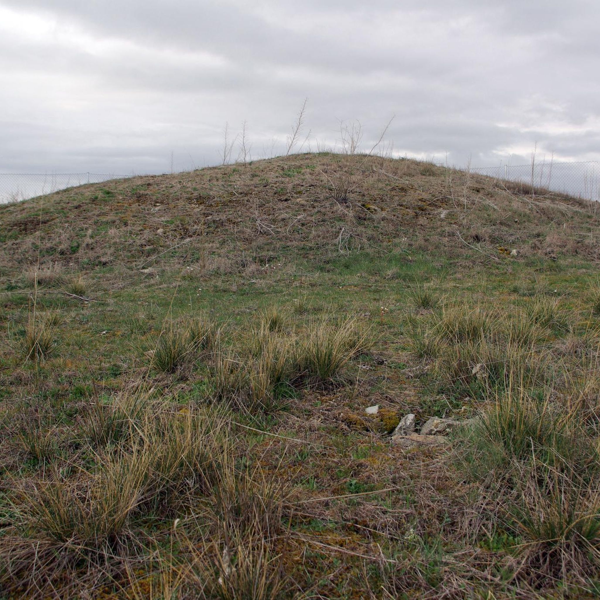
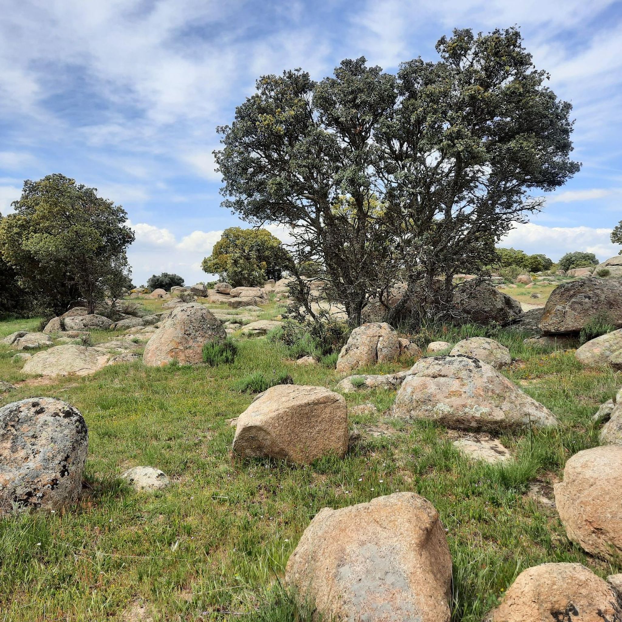
Three stone crosses located on a rocky outcrop near the Ermita del Berrocal, on the outskirts of Cardeñosa.
1
0

Located inside the park, this monument, which was placed in 2009, commemorates the fiftieth anniversary of the flood that Las Berlanas suffered and which devastated part of this town, in which two people died and seventy families were left homeless.
1
0
Frequently Asked Questions
How many road cycling routes are available around Mediana De Voltoya?
There are 6 road cycling routes around Mediana De Voltoya listed on komoot. These routes offer a mix of moderate and difficult options, catering to various skill levels.
What is the general difficulty level of road cycling routes in Mediana De Voltoya?
The road cycling routes around Mediana De Voltoya are predominantly challenging. There are 4 difficult routes and 2 moderate routes, with no easy options currently listed. Cyclists can expect significant elevation gains, especially on routes like the Puerto de la Lancha – Puerto de Arrebatacapas loop from Ávila.
Are there any family-friendly road cycling routes in the area?
Currently, the listed road cycling routes around Mediana De Voltoya are rated as moderate to difficult, suggesting they may not be ideal for young families or beginners. The terrain often includes challenging mountain ascents and significant distances.
What kind of terrain can I expect on road cycling routes near Mediana De Voltoya?
You can expect a diverse landscape with a mix of paved and unpaved sections, though the listed routes are primarily for road bikes. The region features rural settings, impressive mountains, and views of the tranquil Mediana River. Some paths, like parts of the Cañada Real Soriana Occidental, might be bumpy, while the Campo Azálvaro Bike Path offers asphalted sections.
Are there any circular road cycling routes available?
Yes, many of the road cycling routes around Mediana De Voltoya are designed as loops. Examples include the challenging Puerto de la Lancha – Puerto de Arrebatacapas loop from Ávila and the moderate Cardeñosa – Cardeñosa loop from Mingorría.
What are some scenic highlights or landmarks I can see along the road cycling routes?
Road cycling routes in the area offer great views of impressive mountains and the tranquil Mediana River. You might also encounter historical elements and rural charm. Notable attractions nearby include the Campo Azálvaro Bike Path and the Cañada Real Soriana Occidental. For historical interest, the Convent of Santa María de Jesús is also in the vicinity.
What do other road cyclists enjoy most about cycling in Mediana De Voltoya?
The area is highly rated by the komoot community, with an average score of 5.0 stars. Reviewers often praise the diverse terrain, the impressive mountain backdrops, and the rural charm that defines the cycling experience in Mediana De Voltoya.
Is the Campo Azálvaro Bike Path suitable for road bikes?
Yes, the Campo Azálvaro Bike Path includes an asphalted section from Ávila to Bernuy, which offers good conditions for road cyclists. One of the routes, the Campo Azálvaro Route – Serones Reservoir Straights loop from Ávila, specifically incorporates this path.
Can I find routes with significant elevation gain for a challenging ride?
Absolutely. Mediana De Voltoya is known for its challenging mountain ascents. Routes like the Puerto de la Lancha – Puerto de Arrebatacapas loop from Ávila feature nearly 2000 meters of elevation gain, providing a demanding experience for seasoned road cyclists.
What is the best time of year for road cycling in Mediana De Voltoya?
While specific seasonal weather details are not provided, the region's diverse landscape, ranging from warm lowlands to challenging mountain ascents, suggests that spring and autumn would likely offer the most pleasant temperatures for road cycling. Summers can be warm, especially in the lowlands, and winters might bring colder conditions in the mountains.
Are there any routes that pass through or near the village of Mingorría?
Yes, the moderate Cardeñosa – Cardeñosa loop from Mingorría starts and ends near the village of Mingorría, offering a balanced ride through the local countryside.
Are there any historical sites visible from the cycling routes?
The region retains a distinct rural character with stone walls and traditional elements. While not directly on every route, historical sites like the Convent of Santa María de Jesús are located in the vicinity and contribute to the area's rich heritage.
Most popular attractions around Mediana De Voltoya

Get inspired with the komoot mobile app


Explore more
Browse the best Road cycling routes in other regions.
