The best walks and hikes around Vall De Almonacid
4.6
(672)
3,791
hikers
206
hikes
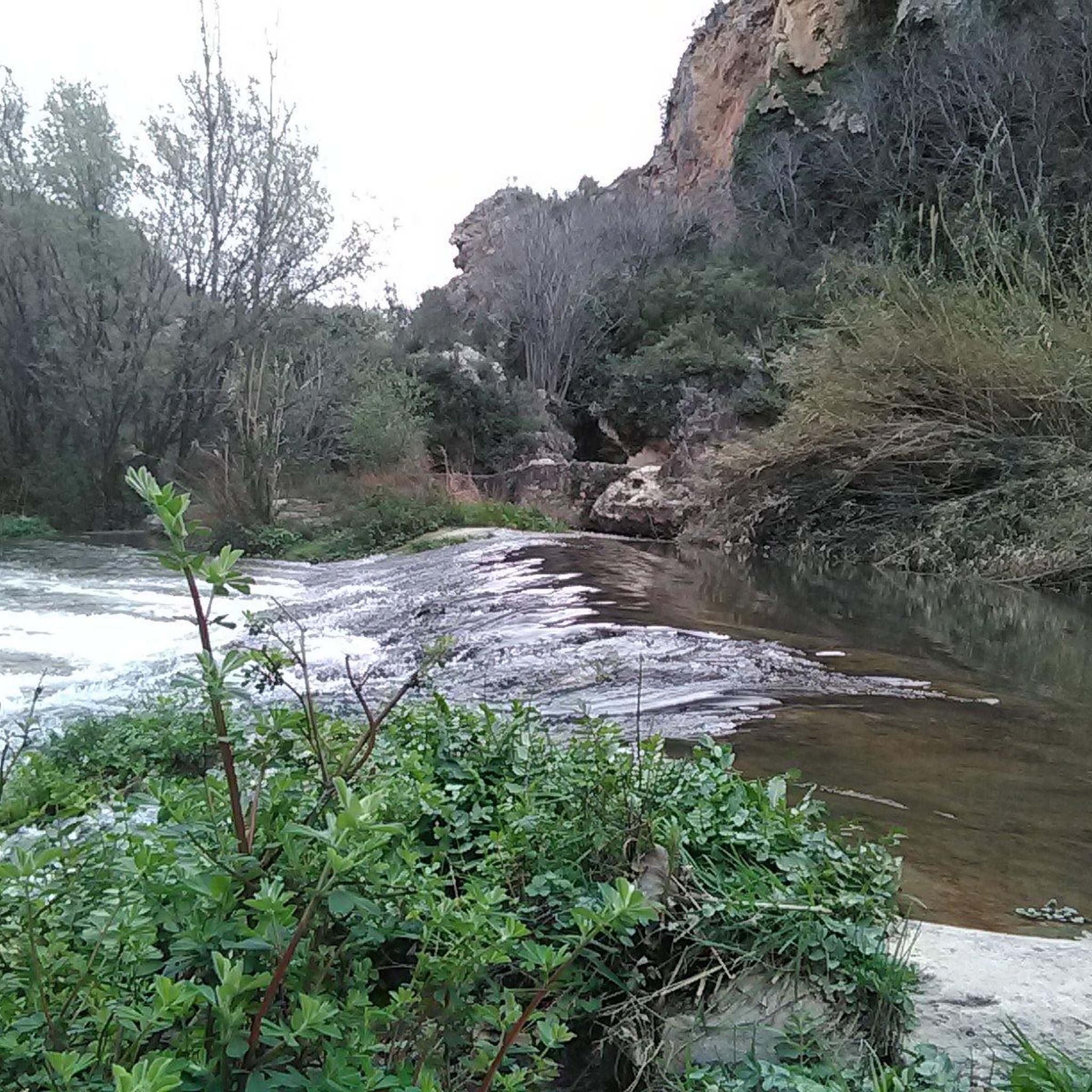
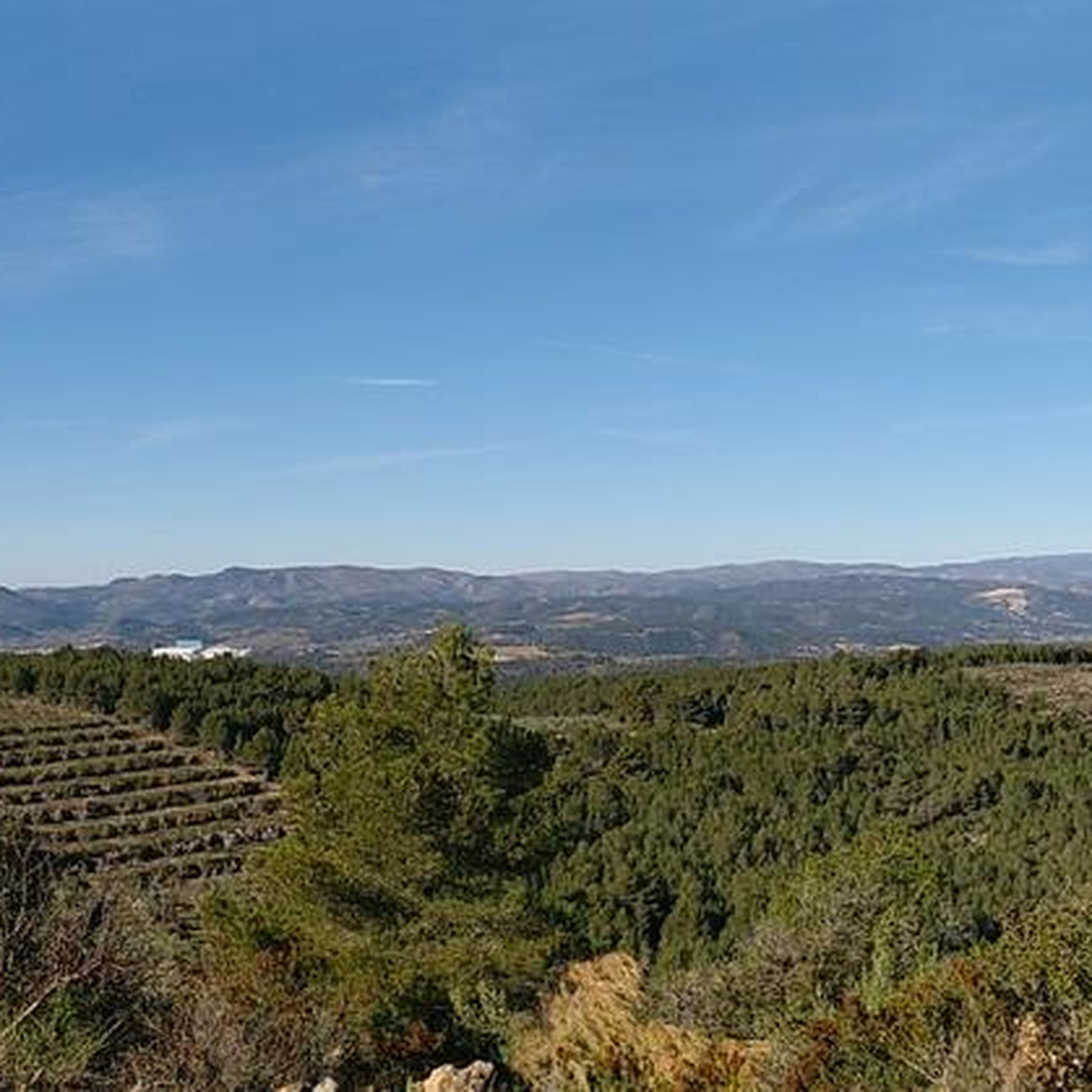
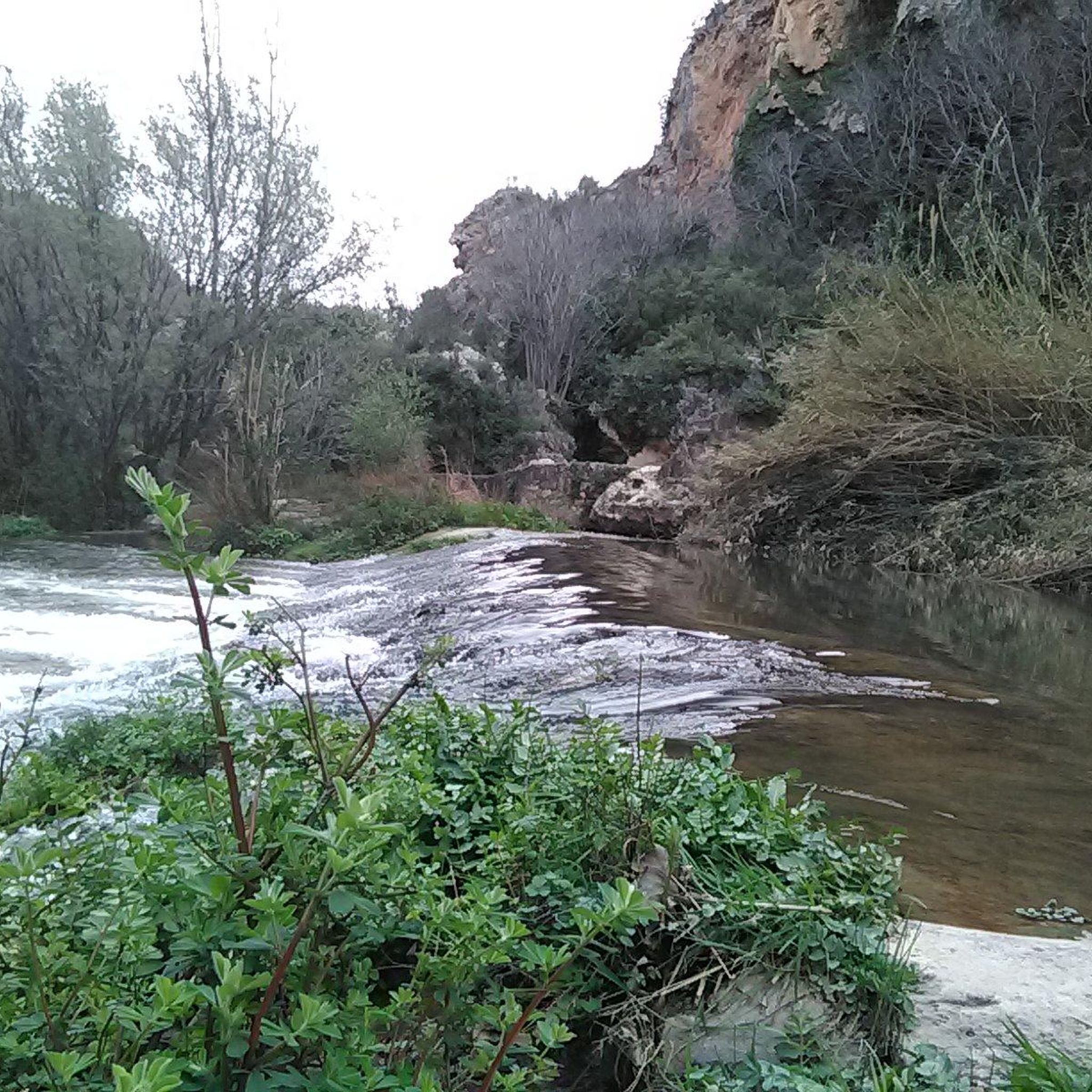
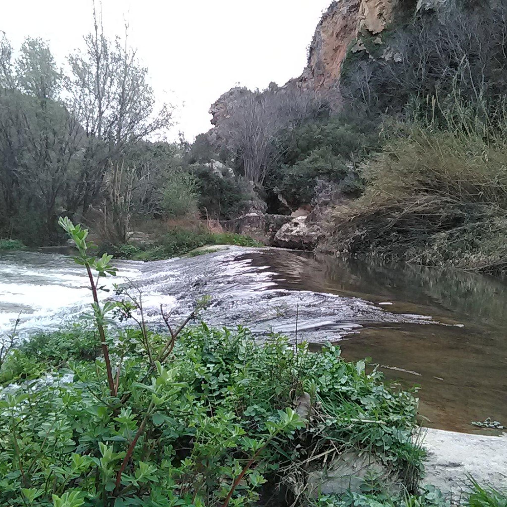
Hiking around Vall De Almonacid offers diverse terrain within the Sierra de Espadán Natural Park. The region is characterized by rugged mountainscapes, cork oak forests, and varied landscapes including cultivated fields and terraced hillsides. The River Chico bisects the municipality, providing scenic routes along its banks. This area provides a mix of natural beauty and unique rock formations for hikers.
Best hiking trails around Vall De Almonacid
- The most popular hiking route is Walk around the Embalse del Regajo,…
Last updated: October 11, 2026
5.0
(6)
16
hikers
11.7km
03:38
390m
400m
Moderate hike. Good fitness required. Easily-accessible paths. Suitable for all skill levels.
13
hikers
10.9km
03:59
590m
590m
Moderate hike. Good fitness required. Mostly accessible paths. Sure-footedness required.

5.0
(1)
7
hikers
13.4km
04:10
490m
490m
Moderate hike. Good fitness required. Easily-accessible paths. Suitable for all skill levels.
7
hikers
15.0km
05:12
660m
660m
Hard hike. Very good fitness required. Mostly accessible paths. Sure-footedness required.
5.0
(1)
4
hikers
17.6km
05:37
650m
650m
Hard hike. Very good fitness required. Mostly accessible paths. Sure-footedness required.
Get access to more routes and recommendations from other explorers.
Already have an account?
Our route recommendations are based on thousands of hikes, rides, and runs completed by other people on komoot.
Start today with a free account
Your next adventure awaits.

Tips from the Community


The drive is a beautiful mountain road the entire distance between Alcidia de Veo and at least Vall de Almonacid, which is very worthwhile in both directions. On the Alcidia side it is mostly shady further up, certainly enjoyable in summer, cold in winter even in sunny weather! The whole Serra Espada seems to me to be a road bike paradise inside, really spectacular landscape! Everything that is marked in yellow by Komoot here are roads of the finest racing bike quality, on which you can really let it rip. But the landscape is actually too beautiful for that!
1
0

Nice mountain pass where you will very rarely cross a car, which makes it ideal for enjoying the scenery. Not very demanding medium slopes and a surface in good condition, an ideal combination for a bottom or unloading day.
2
0

Beautiful military-style castle from the 13th century, located in the Vall de Almonacid
0
0

Cyclotourist port with good asphalt and the hardest kms are the last 2 ... around 10%
1
0

from the top you can visit the nearby Fridge or Snow Well on foot
0
0
mountain pass that separates the towns of Alcúdia de Veo and Algimia de Almonacid. From the top you can visit its famous Fridge or Snow Well on foot
2
1
Frequently Asked Questions
What kind of terrain can I expect when hiking around Vall De Almonacid?
Vall De Almonacid, situated within the Sierra de Espadán Natural Park, offers a diverse and rugged terrain. You'll encounter everything from dense cork oak forests and mountainscapes to cultivated fields, olive groves, and terraced hillsides. The River Chico also provides scenic routes along its banks, showcasing varied natural beauty and unique rock formations.
Are there many hiking trails available in Vall De Almonacid?
Yes, there are nearly 200 hiking trails around Vall De Almonacid listed on komoot. This includes a wide range of options, with approximately 50 easy routes, over 120 moderate trails, and more than 20 challenging paths, ensuring something for every skill level.
Are there any easy hiking trails suitable for beginners or families?
Absolutely. For an easy and scenic option, consider the Walk around the Embalse del Regajo. This 6.7 km route takes less than two hours and offers pleasant views of the reservoir. The Almonecir Castle circular route, mentioned in the region research, is also suitable for families and provides impressive panoramic views.
Can I find circular hiking routes in the area?
Yes, many routes in Vall De Almonacid are circular. For example, the moderate Espadán Peak – Espadán Peak loop from Fuente de la Calzada offers panoramic views over 9.5 km. Another option is the El Bloque Negro loop from Gaibiel, a moderate 10.38 km trail.
Are there any waterfalls or significant water features to see on the trails?
Yes, the region is known for its refreshing water features. A popular route is the Fuente de los Baños – Bride's Leap Waterfall loop from Riu Palància, which leads past the impressive Bride's Leap Waterfall. You can also explore other highlights like Tío Juan Waterfall or Fuente Del Berro and picnic area.
What are some notable landmarks or attractions I can visit while hiking?
Beyond the natural beauty, you can explore historical sites. The 12th-century Muslim fortress, Almonecir Castle, offers an enjoyable walk and panoramic views. The region also features Civil War heritage sites, such as those found on the Levante Offensive Viewing Point Route. Additionally, the El Regajo Dam is a prominent landmark.
What do other hikers enjoy most about the trails in Vall De Almonacid?
The trails in Vall De Almonacid are highly regarded by the komoot community, holding an average rating of 4.6 stars from over 500 reviews. Hikers frequently praise the region's diverse terrain, the tranquility of the Sierra de Espadán Natural Park, and the well-maintained paths that lead through cork oak forests and along river valleys.
Are there any challenging routes for experienced hikers?
Yes, for experienced hikers seeking a challenge, there are 22 difficult routes available. One such route is the La Rápita (1,106 m) loop from Algimia de Almonacid, which covers over 10 km and involves significant elevation gain, offering a rewarding experience with stunning views.
What is the best time of year to go hiking in Vall De Almonacid?
Vall De Almonacid offers pleasant hiking conditions for much of the year. Spring and autumn are particularly ideal, with milder temperatures and vibrant landscapes. Summer can be warm, so early morning or late afternoon hikes are recommended. The diverse terrain and cork oak forests provide shade, making it enjoyable even during warmer months.
Are there any specific geological features or unique landscapes to look out for?
The region's geology contributes to unique rock formations throughout the Sierra de Espadán Natural Park. You'll encounter varied landscapes, from the lush cork oak forests to more arid areas and terraced hillsides, all shaped by the distinct geological makeup of the area. The Eslida Pass, for instance, is known for its scenic views and varied terrain.
Is it possible to hike along a river or reservoir?
Yes, the River Chico bisects the municipality, providing numerous scenic routes along its banks. Additionally, the Walk around the Embalse del Regajo offers a pleasant experience around the reservoir, with highlights like the View of the Regajo Reservoir.
Most popular routes around Vall De Almonacid
Most popular attractions around Vall De Almonacid

Get inspired with the komoot mobile app


Explore more
Browse the best Hikes in other regions.
