The best road cycling routes around Yunclillos
4.1
(23)
367
riders
4
rides
Road cycling around Yunclillos is characterized by its location within the province of Toledo, offering a mix of extensive plains and gentle hills. The region features well-maintained asphalt roads, providing suitable surfaces for various cycling speeds. This area is part of a broader network of roads conducive to road biking, with varied terrain for different fitness levels. The landscape primarily consists of agricultural areas and open countryside, typical of the La Sagra region.
Best road cycling routes around Yunclillos
- The…
Last updated: July 11, 2026
4.3
(3)
51
riders
Moderate road ride. Good fitness required. Mostly well-paved surfaces and easy to ride.
5.0
(1)
22
riders
53.1km
02:18
410m
410m
Moderate road ride. Good fitness required. Mostly well-paved surfaces and easy to ride.

Sign up for free
3.0
(2)
55
riders
50.0km
02:26
500m
500m
Moderate road ride. Good fitness required. Some segments of this route may be unpaved and difficult to ride.
3.6
(13)
54
riders
62.2km
02:41
500m
500m
Moderate road ride. Good fitness required. Mostly well-paved surfaces and easy to ride.
41
riders
77.6km
04:08
1,020m
1,030m
Hard road ride. Very good fitness required. Some segments of this route may be unpaved and difficult to ride.
Our route recommendations are based on thousands of hikes, rides, and runs completed by other people on komoot.
Start today with a free account
Your next adventure awaits.
Login or Signup
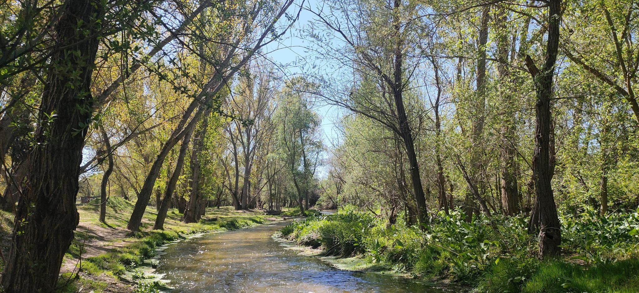


Other adventures around Yunclillos

Tips from the Community

One of the best panoramic views of the city of Toledo.
0
0

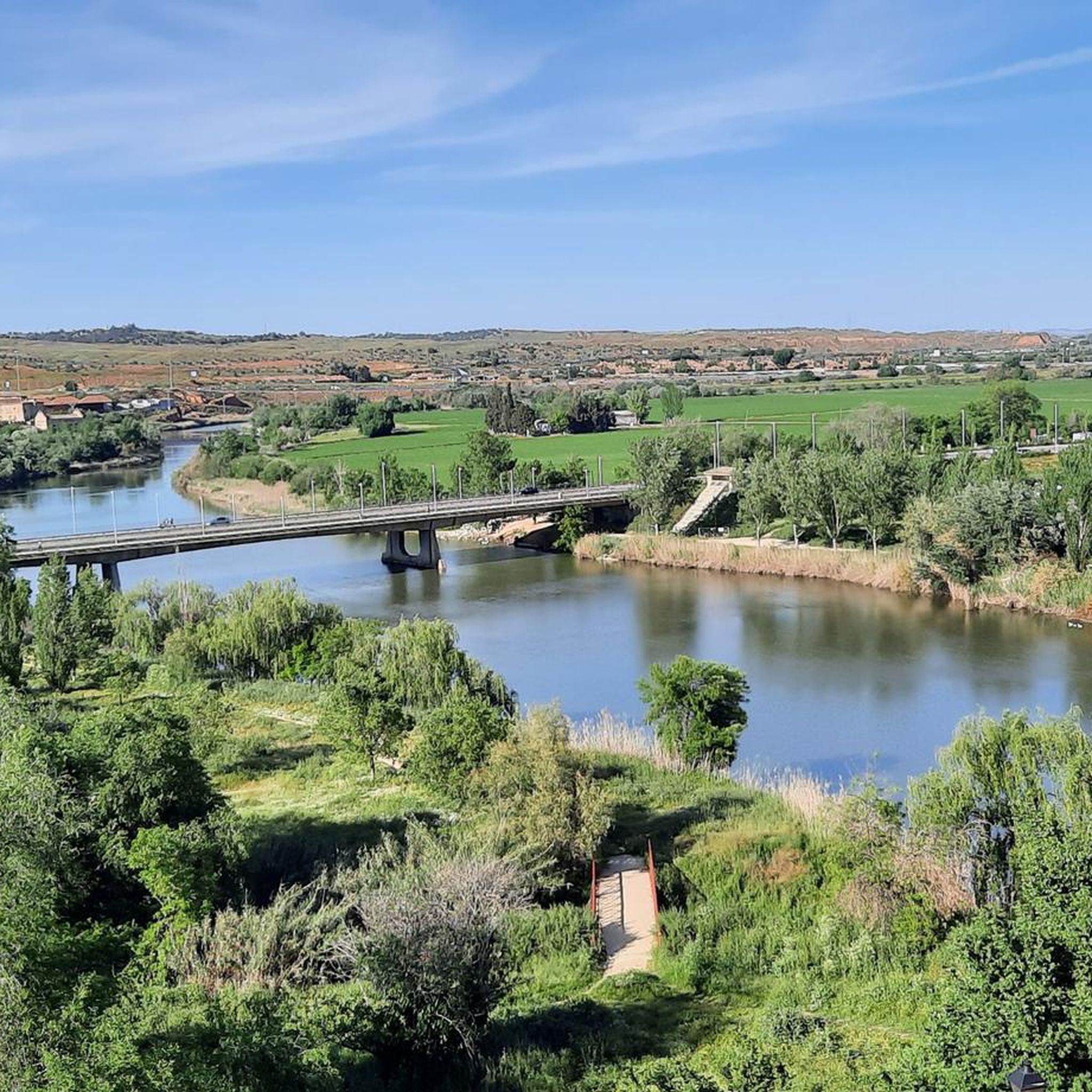
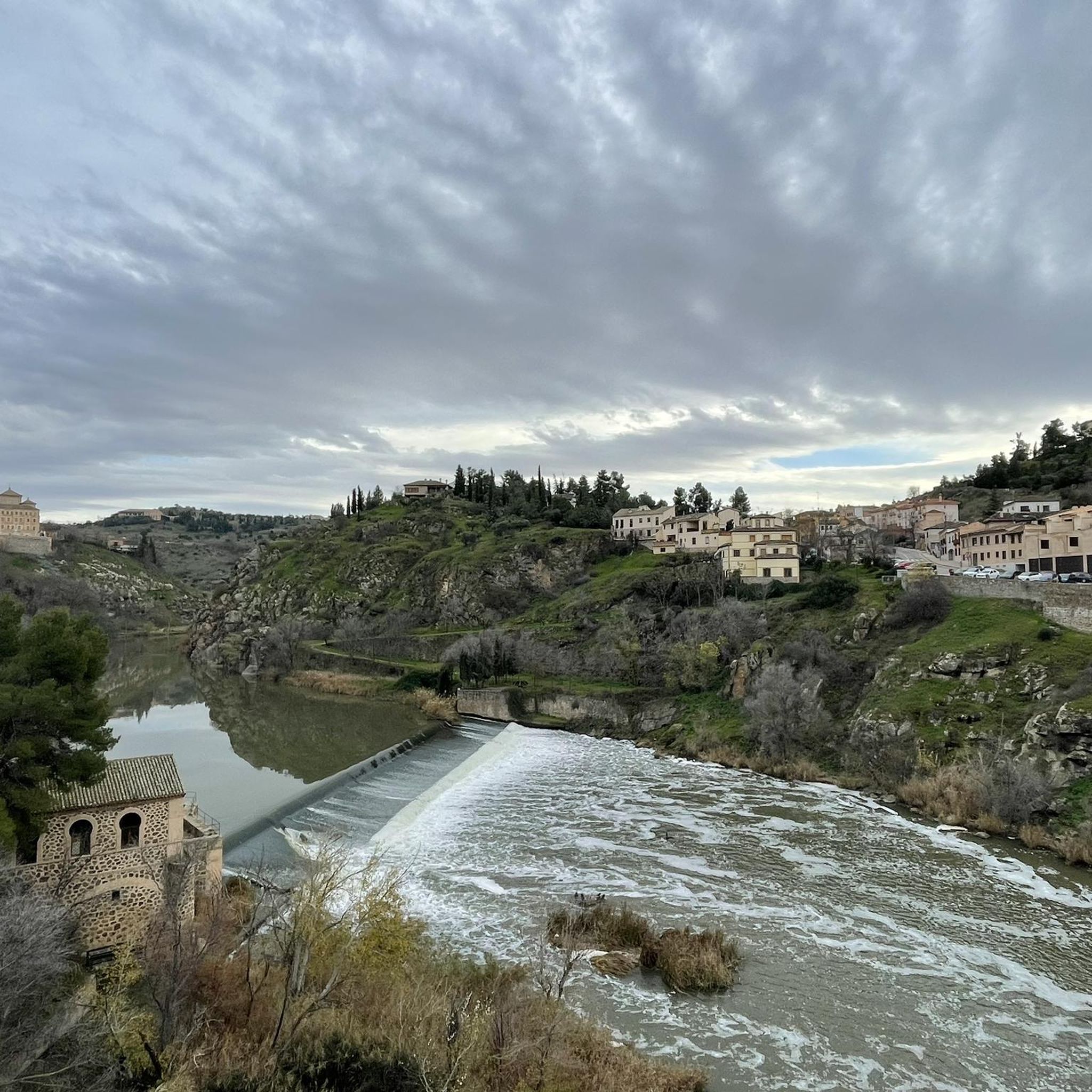
The Tagus River flows through almost the entire center of Spain and is the longest river on the Iberian Peninsula, with a length of more than 1,000 kilometers. This means that there are numerous places to visit near this river, such as Toledo.
12
0

Toledo is a historic city in central Spain, the capital of the autonomous community of Castile-La Mancha. Located about 70 kilometers south of Madrid, it stands on a rocky promontory surrounded by the Tagus River and is entirely declared a UNESCO World Heritage Site. It is universally known as the "City of Three Cultures" for the centuries-long and peaceful coexistence of Christians, Muslims, and Jews.
0
0

The view of Toledo from the Mirador del Valle road is considered one of the most iconic panoramas in Spain and, for many, the best way to admire the city. From this vantage point, you can appreciate the historic center surrounded by the Tagus River, which forms a meander that embraces the city. The Alcázar of Toledo dominates the upper part of the city. The Primate Cathedral, with its prominent Gothic tower, is also visible. Historic bridges such as the Alcántara Bridge and the San Martín Bridge are also prominent.
7
0
From this privileged vantage point, you can see: The Alcázar of Toledo. The Primate Cathedral. The Alcántara Bridge and the San Martín Bridge. The Monastery of San Juan de los Reyes. The medieval walls and the urban layout of the old town.
10
0
The Mirador del Valle is one of Toledo's most iconic and spectacular locations, ideal for enjoying a complete panoramic view of the imperial city. It is located on the Circunvalación Highway, south of Toledo's historic center, just across the Tagus River. From there, you get a frontal view of the city, with the river winding at your feet and the most important monuments framed by the landscape.
10
0
Cobisa, very close to Toledo, is ideal for cycling and hiking.
9
0

Frequently Asked Questions
What kind of terrain can I expect when road cycling around Yunclillos?
Road cycling around Yunclillos, located in the province of Toledo, features a mix of extensive plains and gentle hills. The region is characterized by well-maintained asphalt roads, offering varied terrain suitable for different fitness levels. You'll primarily encounter agricultural areas and open countryside, typical of the La Sagra region.
Are there road cycling routes suitable for beginners in Yunclillos?
Yes, there is at least one easy road cycling route available around Yunclillos. The region offers a network of roads with varying difficulty levels, ensuring options for those new to road cycling or looking for a more relaxed ride.
What about more challenging road cycling routes in the Yunclillos area?
For experienced road cyclists seeking a challenge, there is at least one difficult route available. The broader Toledo province, where Yunclillos is situated, includes diverse landscapes with steeper ascents, providing opportunities for more demanding rides.
How many road cycling routes are available around Yunclillos?
There are 7 road cycling routes available around Yunclillos, ranging from easy to difficult. These routes have been explored by over 350 road cyclists using komoot.
Are there circular road cycling routes in the area?
Yes, many of the road cycling routes around Yunclillos are circular. For example, the La Sagra Loop from Bargas is a popular moderate circular path, and the Bargas – Villamiel de Toledo loop from Antigua Estación de Bargas also offers a circular journey through local towns and countryside.
What natural features can I expect to see while cycling near Yunclillos?
While Yunclillos itself is primarily agricultural, the wider Toledo province offers diverse natural features. You might encounter picturesque backdrops along the Tagus River on some routes. The region's landscape includes extensive plains and gentle hills, providing open views of the Spanish countryside.
Are there any interesting landmarks or places to explore along the road cycling routes?
Yes, several routes pass by or near interesting landmarks. You could explore settlements like Chozas de Canales, or historical religious buildings such as the Parish Church of St. John the Baptist in Cedillo del Condado, and the Parish Church of Saint Stephen the Protomartyr of Mocejón.
What is the best time of year for road cycling around Yunclillos?
The climatic conditions in the Toledo province are often favorable for cycling for much of the year. Optimal temperatures for road cycling are typically found in spring and autumn, offering pleasant conditions for exploring the routes.
What do other road cyclists enjoy the most about road cycling in Yunclillos?
The road cycling routes around Yunclillos are highly rated by the komoot community, with an average score of 3.9 stars from over 15 reviews. Cyclists often appreciate the well-maintained asphalt roads and the varied terrain that caters to different ability levels, from moderate loops to more challenging long-distance rides.
Are there any long-distance road cycling routes available?
Yes, for those looking for longer rides, there are options like the Plaza Mayor de Chinchón – Titulcia Main Square loop from Villaluenga-Yuncler. This route covers approximately 89.9 miles (144.7 km) and leads through open plains and gentle ascents, typically taking around 6 hours to complete.
What are the typical distances for road cycling routes in this region?
The road cycling routes around Yunclillos vary in distance. You can find moderate routes around 33-34 miles (53-55 km), such as the La Sagra Loop from Bargas, up to longer routes like the Plaza Mayor de Chinchón – Titulcia Main Square loop from Villaluenga-Yuncler, which is nearly 90 miles (144 km).
Is the area suitable for family-friendly road cycling?
While specific 'family-friendly' designations aren't provided, the presence of easy and moderate routes with gentle hills and well-maintained roads suggests that some paths could be suitable for families, depending on their cycling experience. It's advisable to check the specific route details for elevation and traffic conditions.
Most popular attractions around Yunclillos

Get inspired with the komoot mobile app


Explore more
Browse the best Road cycling routes in other regions.
