The best road cycling routes around Ogíjares
4.4
(734)
24,250
riders
219
rides
Road cycling around Ogíjares offers diverse landscapes, situated near Granada and at the foothills of the Sierra Nevada. The region is characterized by a mix of fertile Vega plains and lower hills, shaped by features like the Río Dílar and Barranco de la Ricla. This area provides access to varied terrain, from gentle gradients to significant mountain ascents, making it suitable for different levels of road cyclists.
Best road cycling routes around Ogíjares
- The most popular road cycling route is Roadbike loop from Ogíjares, a 27.2 miles (43.9 km) trail that takes 1 hour 52 minutes to complete. This moderate route features an elevation gain of 1,266 feet (386 meters).
- Another top favourite among local road cyclists is Cubillas Reservoir – Roman Dam of Barcinas loop from Sierra Nevada, a difficult 69.5 miles (111.9 km) path. This challenging route includes significant climbs with an elevation gain of 3,540 feet (1,079 meters) through mountainous terrain.
- Local road cyclists also love the Nazari Bridge of Tablate – Views of the Rules Dam loop from Sierra Nevada, a 71.1 miles (114.5 km) trail leading through mountain passes and offering expansive views, often completed in about 5 hours 50 minutes.
- Road cycling around Ogíjares is defined by its proximity to the Sierra Nevada mountains, fertile Vega plains, and river valleys, offering a range of options from flat sections to demanding ascents. The network provides routes for various ability levels, from moderate loops to difficult long-distance challenges.
- The routes in Ogíjares are highly rated by the komoot community with an average score of 4.6 stars from over 400 reviews. More than 21,000 road cyclists have used komoot to explore Ogíjares's varied terrain.
Last updated: October 13, 2026
4.2
(37)
924
riders
52.2km
02:23
600m
600m
Moderate road ride. Good fitness required. Mostly well-paved surfaces and easy to ride.
4.4
(15)
685
riders
55.5km
02:59
1,080m
1,080m
Hard road ride. Very good fitness required. Mostly well-paved surfaces and easy to ride.

4.3
(18)
427
riders
63.7km
02:44
540m
540m
Moderate road ride. Good fitness required. Mostly well-paved surfaces and easy to ride.
4.9
(16)
386
riders
Moderate road ride. Good fitness required. Mostly well-paved surfaces and easy to ride.
4.9
(7)
308
riders
112km
04:56
1,080m
1,080m
Hard road ride. Very good fitness required. Mostly well-paved surfaces and easy to ride.
Get access to more routes and recommendations from other explorers.
Already have an account?
Our route recommendations are based on thousands of hikes, rides, and runs completed by other people on komoot.
Start today with a free account
Your next adventure awaits.

Tips from the Community

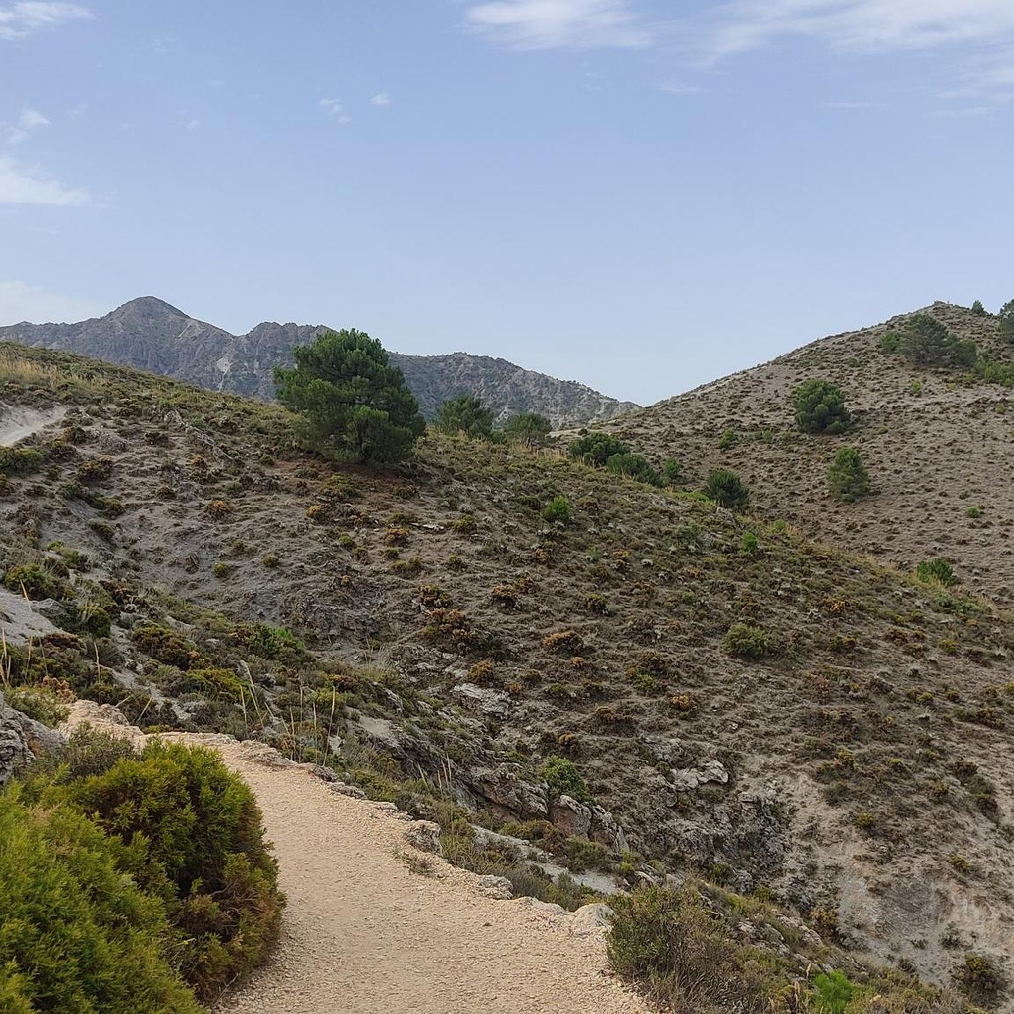
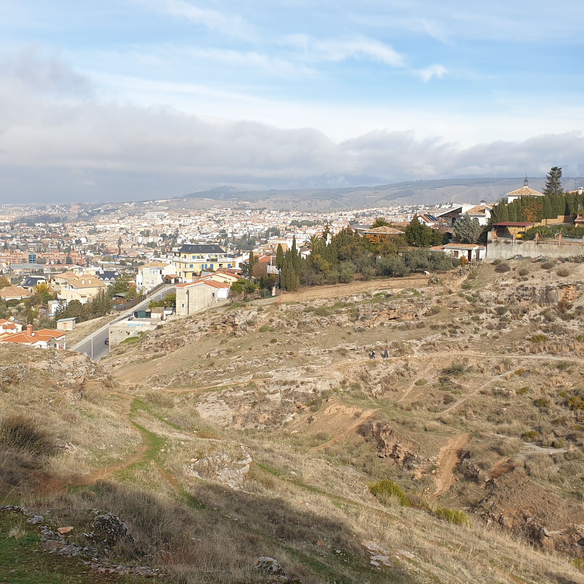
From the capital towards the surrounding areas, it always surprises you
0
0

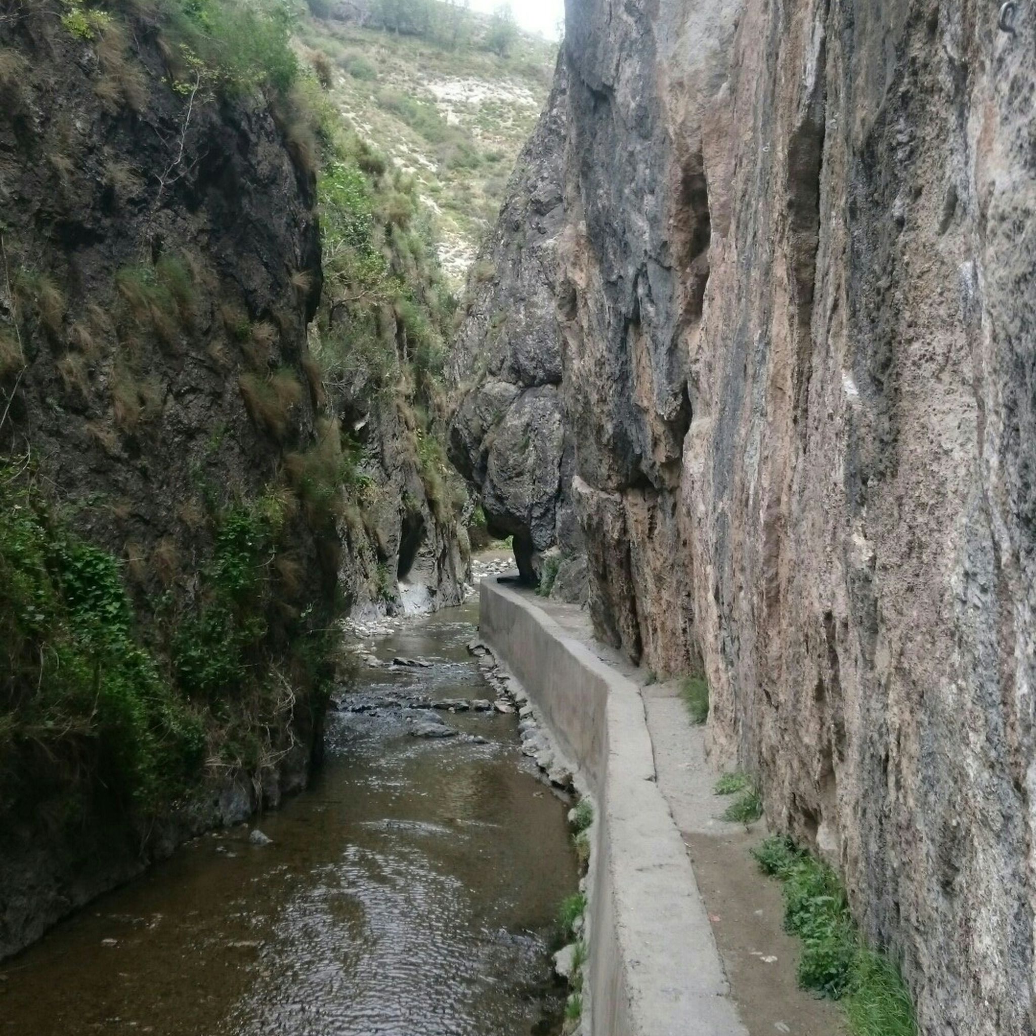
The Genil River naturalizes the center of Granada and gives it a more landscaped feel. It is also a natural corridor to enter or leave the city along its charming banks.
1
0
Around the Acequia Gorda de Genil there is a magnificent park where you can enjoy the spirit of the city and the omnipresent views of Sierra Nevada.
1
0

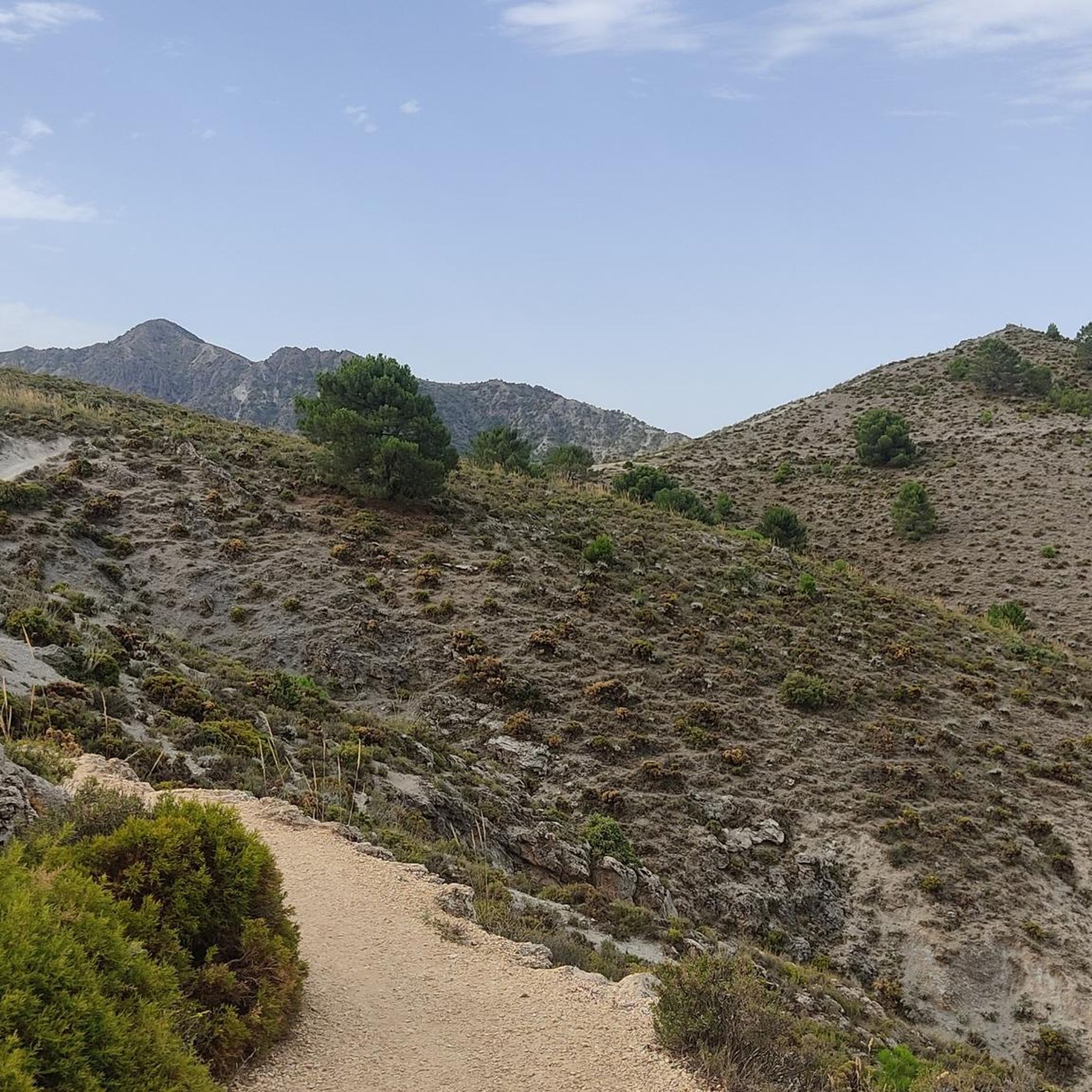
The silence, the wind, the endless views of the Sierra
0
0


We are at the crossroads between the towns of Olivares, Moclín and Colomera
15
0
Very close to the Cubillas reservoir, we find these facilities dedicated to model airplanes, where hundreds of fans practice this sport with their miniatures.
15
0

Frequently Asked Questions
How many road cycling routes are available around Ogíjares, and what are their difficulty levels?
Ogíjares offers a wide variety of road cycling routes, with over 190 options to explore. These routes cater to all skill levels, including 41 easy, 92 moderate, and 66 difficult trails, ensuring there's a suitable ride for every cyclist.
Are there challenging road cycling routes with significant climbs near Ogíjares?
Yes, the region around Ogíjares, particularly with its proximity to the Sierra Nevada, is known for challenging climbs. Routes like the Cubillas Reservoir – Roman Dam of Barcinas loop from Sierra Nevada offer significant ascents, with over 1,000 meters of elevation gain. You can also find demanding climbs such as "Av andalucia ermita nueva" and "CARRERA VILLA OGIJARES TRAMO I" in the area.
What are some good options for moderate road cycling routes around Ogíjares?
For a moderate challenge, the Roadbike loop from Ogíjares is a popular choice, covering about 44 km with around 385 meters of elevation. Another excellent moderate option is the Cárcavas de La Malahá – Fountain of Agrón loop from Armilla, which offers a 57 km ride with over 540 meters of climbing.
Can I find circular road cycling routes in the Ogíjares area?
Absolutely. Many of the road cycling routes around Ogíjares are designed as loops, allowing you to start and finish in the same location. Examples include the popular Roadbike loop from Ogíjares and the longer Castle of Íllora – Santa Fe loop from Armilla.
What scenic viewpoints or landmarks can I expect to see while road cycling near Ogíjares?
The region offers stunning vistas. You'll encounter panoramic views of the Granada valley, especially near the Ermita Vieja. The routes also provide glimpses of the fertile Vega plains, the Río Dílar, and the Barranco de la Ricla. For specific high points, consider routes that pass near the Cerro del Sol Summit.
Are there any natural attractions or points of interest close to the cycling routes?
Yes, Ogíjares is a gateway to the vast Sierra Nevada National Park. While cycling, you'll be close to natural features like the Río Dílar and Barranco de la Ricla. For a deeper exploration, consider visiting the nearby Sacromonte Abbey or the Sacromonte Caves Museum, which are accessible from some routes.
What do other road cyclists enjoy the most about road cycling in Ogíjares?
The road cycling routes in Ogíjares are highly rated by the komoot community, with an average score of 4.6 stars from over 400 reviews. Cyclists often praise the diverse landscapes, ranging from fertile plains to challenging mountain ascents, and the well-maintained network of trails that cater to various abilities.
What is the best time of year for road cycling in Ogíjares?
The region's Mediterranean climate makes spring and autumn ideal for road cycling, offering pleasant temperatures and lush scenery. Summers can be hot, especially at lower elevations, while winters in the Sierra Nevada foothills can bring cooler temperatures, though many routes remain accessible.
Are there any long-distance road cycling routes available from Ogíjares?
For those seeking longer distances, Ogíjares serves as a starting point for extensive rides. The Nazari Bridge of Tablate – Views of the Rules Dam loop from Sierra Nevada is a significant option, covering over 114 km and featuring substantial elevation changes through mountain passes.
Can I access these road cycling routes using public transport?
Ogíjares is well-connected to Granada by public transport, making it feasible to reach the starting points of many routes without a car. Local bus services operate between Ogíjares and Granada, from where you can connect to other areas. It's advisable to check specific bus routes and schedules for your chosen starting point.
Are there any specific climbs that are popular among road cyclists in the Ogíjares area?
Yes, the area is a favored training ground for cyclists due to its challenging ascents. Popular climbs include "Av andalucia ermita nueva" (7.81 km), "CARRERA VILLA OGIJARES TRAMO I" (15.29 km), and "Loma Linda hasta Avenida del Norte" (3.41 km). The proximity to the Sierra Nevada also provides access to significant mountain passes.
What kind of landscapes will I experience while cycling around Ogíjares?
You'll experience a diverse range of landscapes, from the fertile Vega plains with their agricultural fields to the lower hills of the Sierra Nevada. The routes often follow river valleys, such as those shaped by the Río Dílar and Barranco de la Ricla, offering a mix of green tranquility and stunning mountain vistas.
Most popular routes around Ogíjares
Most popular attractions around Ogíjares

Get inspired with the komoot mobile app


Explore more
Browse the best Road cycling routes in other regions.
