The best walks and hikes around El Hoyo De Pinares
4.5
(65)
372
hikers
52
hikes
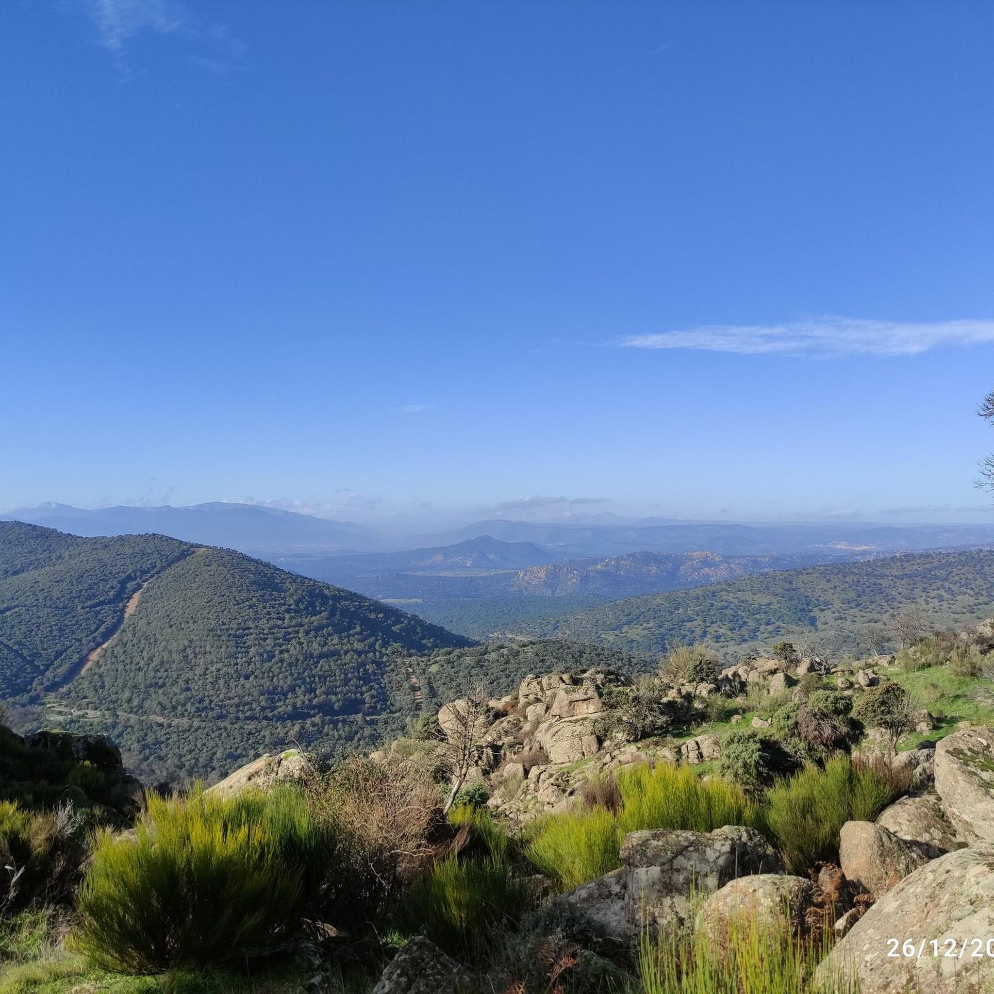
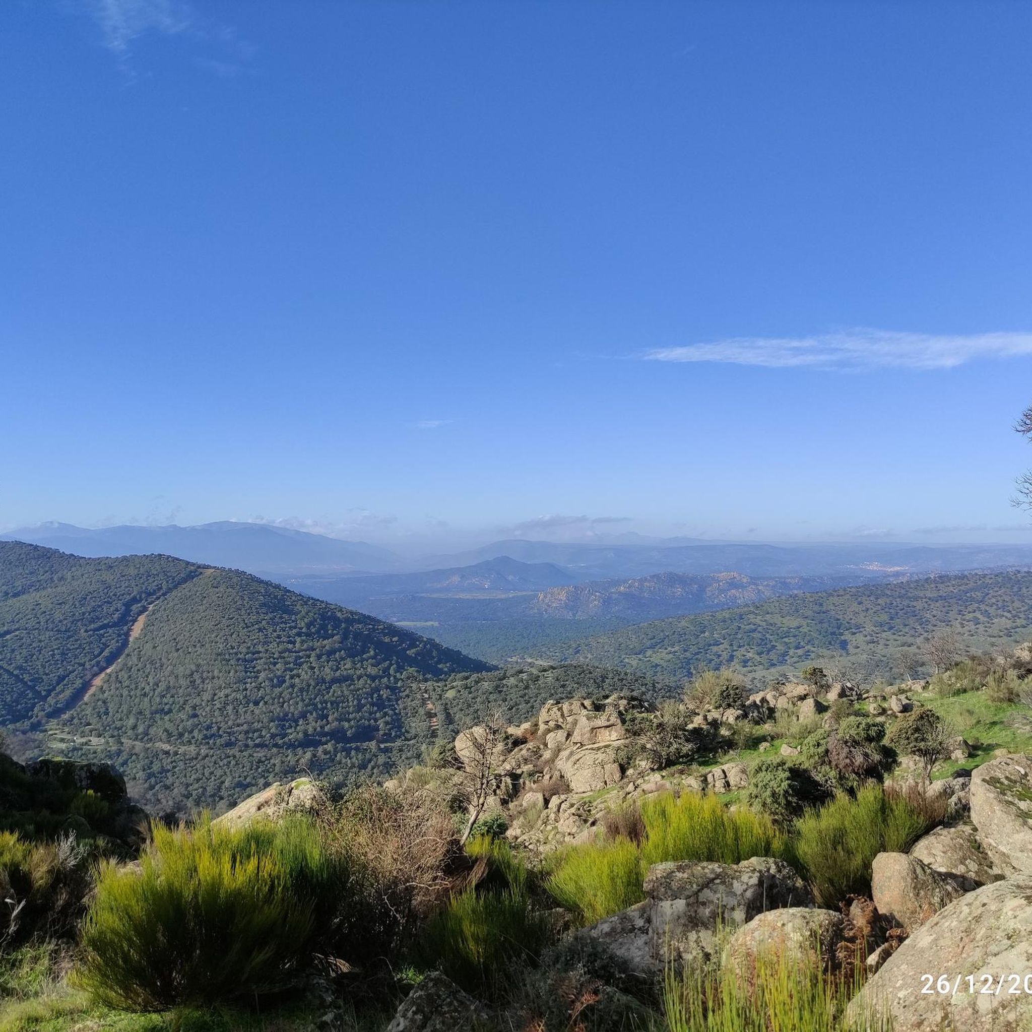
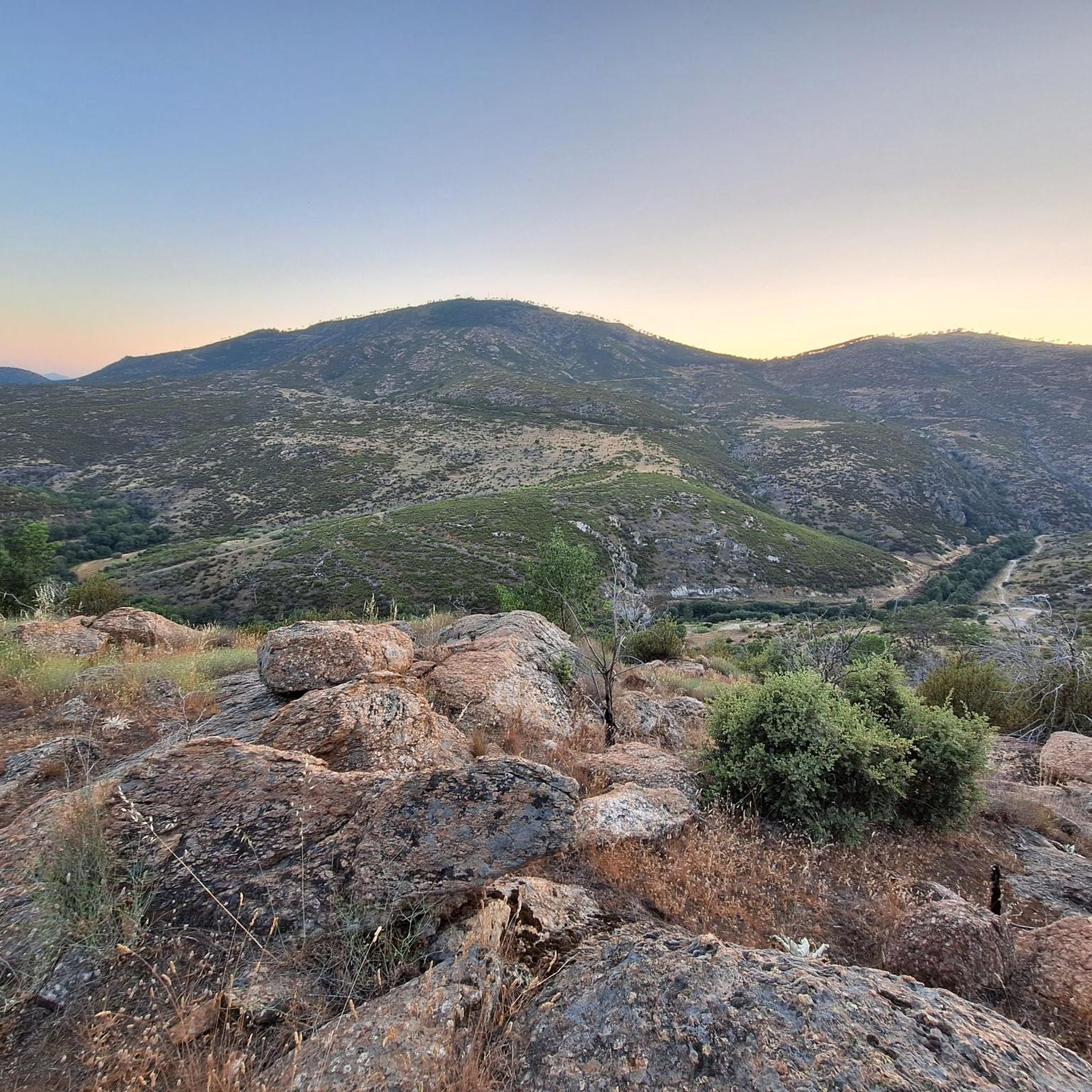
Hiking around El Hoyo De Pinares offers diverse natural landscapes within the province of Ávila, situated at an altitude of 850 meters between the Sierra de Guadarrama and Gredos mountains. The region is characterized by extensive pine forests, including stone pine and Scots pine, alongside varied woodlands featuring ash, olive, fig, and juniper trees. The Alberche River and the Becedas I and II reservoirs are prominent aquatic features, shaping the terrain and providing focal points for routes.
Best hiking trails…
Last updated: July 9, 2026
5.0
(8)
29
hikers
7.76km
02:16
200m
200m
Moderate hike. Good fitness required. Easily-accessible paths. Suitable for all skill levels.
4.9
(7)
27
hikers
10.9km
03:33
500m
500m
Moderate hike. Good fitness required. Mostly accessible paths. Sure-footedness required.

Sign up for free
4.5
(4)
12
hikers
15.2km
04:30
430m
430m
Moderate hike. Good fitness required. Easily-accessible paths. Suitable for all skill levels.
5.0
(2)
6
hikers
14.5km
04:26
500m
500m
Moderate hike. Good fitness required. Easily-accessible paths. Suitable for all skill levels.
4.7
(3)
3
hikers
8.55km
02:31
240m
250m
Moderate hike. Good fitness required. Easily-accessible paths. Suitable for all skill levels.
Get access to more routes and recommendations from other explorers.
Sign up for free
Already have an account?
Our route recommendations are based on thousands of hikes, rides, and runs completed by other people on komoot.
Start today with a free account
Your next adventure awaits.
Login or Signup
Tips from the Community

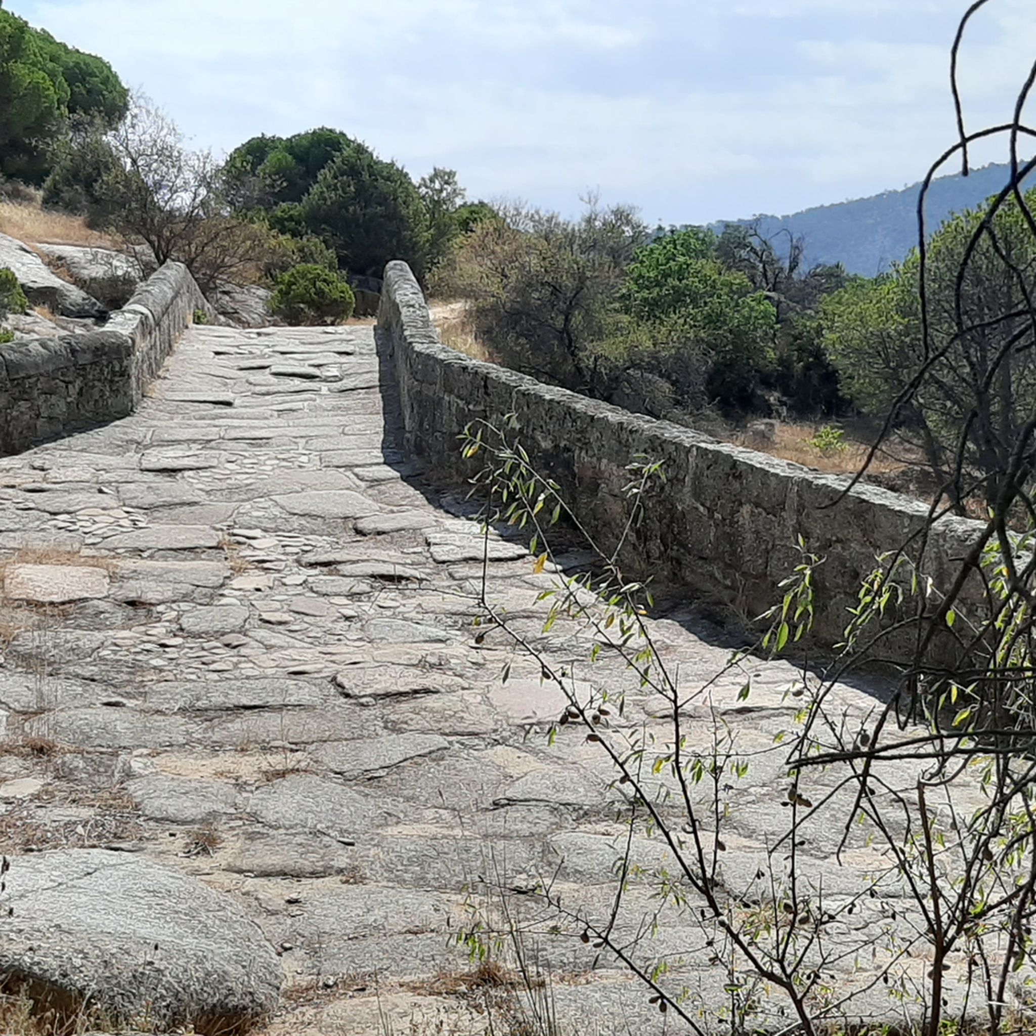
A reconstructed Roman bridge in the mountains near Valdemaqueda. It's easily accessible by car, and there are parking lots with a picnic area very close to the bridge. It's a lovely spot. There's hardly anyone there at this time of year.
0
0

BEWARE OF VIBORS. CROSS THE ROADS
0
0

Route between holm oaks and large pine forests with a reconstructed Mocha Roman-medieval bridge without fountains to replenish much-needed spring-summer water.
1
0
Mocha River Cofio Bridge.
1
0

Because of the impressiveness of the route and the spectacular views. It's hard, but not complicated
0
0

Roman bridge on the banks of the cofio river, a place with a special charm and a very careful environment
2
0

The Mocha Bridge is medieval and possibly of Roman origin. It has 5 semicircular eyes and is of great beauty. A perfect place to rest.
9
0

Nice place with picnic area to spend a picnic
2
0
Frequently Asked Questions
How many hiking trails are available in El Hoyo de Pinares?
El Hoyo de Pinares offers a wide network of over 50 hiking trails, catering to various difficulty levels and interests. The region is known for its extensive pine forests and diverse woodlands, providing a rich natural environment for exploration.
What kind of terrain can I expect on hikes around El Hoyo de Pinares?
You can expect a diverse range of terrains, from dense pine forests (stone pine and Scots pine) and varied woodlands with ash, olive, fig, and juniper trees, to areas shaped by the Alberche River and its reservoirs. Some paths offer gentle descents, while others feature continuous ascents and descents, revealing hidden natural beauty.
Are there easy hiking trails suitable for beginners or families in El Hoyo de Pinares?
Yes, there are several easy trails perfect for beginners or families. The Ruta del Agua is a particularly accessible route that circles the Becedas I and II reservoirs, taking approximately 2 to 3 hours to complete. Another option is the Ruta Necrópolis-Navaserrada, an 8 km low-difficulty route that also includes cultural sites.
Are there any circular hiking routes in El Hoyo de Pinares?
Yes, many routes in the area are circular, offering convenient starting and ending points. For example, the View of Puente Mocha loop from Valdemaqueda is a popular circular trail. Another option is the Antenna – Gate loop from Valdemaqueda, which is also a loop.
What are some more challenging hiking options in the area?
For those seeking a greater challenge, routes like the Ruta Mina Ceferina offer medium-high difficulty, covering 12-14.6 km and taking 4 to 5 hours. This trail leads to a 19th-century mine and showcases the region's pine forests and Dehesa Boyal. Another medium-high difficulty option is the Ruta Castrejón y Peña Halcón, spanning 13.5 km.
What can I see along the hiking trails in El Hoyo de Pinares?
Beyond the natural beauty of pine forests and river valleys, you can discover various points of interest. Highlights include the Puente Mocha over the Cofio River, the Visigothic necropolis (5th to 8th centuries), and 17th-century flour mills in the area known as 'El Batán'. You might also encounter viewpoints like the Mirador del Canchal or the Risco de los Dineros Viewpoint.
Is El Hoyo de Pinares a good place for birdwatching?
Absolutely. El Hoyo de Pinares is part of the Natura 2000 network and has been declared a Special Protection Area for Birds (ZEPA). This designation highlights its ecological importance and offers excellent opportunities for birdwatching, including sightings of species like the Iberian imperial eagle and various vultures.
Can I bring my dog on the hiking trails in El Hoyo de Pinares?
Generally, dogs are welcome on hiking trails in El Hoyo de Pinares. However, it's always recommended to keep your dog on a leash, especially in areas with livestock or protected wildlife, and to clean up after them. The diverse natural environment provides plenty of space for you and your canine companion to enjoy.
What is the average duration for hikes in El Hoyo de Pinares?
Hike durations vary significantly depending on the route and your pace. Easy trails like the Ruta del Agua can take around 2 to 3 hours. Moderate routes, such as the Risco de Santa Catalina loop from Valdemaqueda, typically range from 3 to 4 hours. More challenging trails, like the Ruta Mina Ceferina, can extend to 4 to 5 hours.
Are there any reservoirs or water features along the hiking routes?
Yes, the region is shaped by the presence of the Alberche River, and features the Becedas I and II reservoirs, also known as La Puente and Valdedomingo. The accessible Ruta del Agua specifically runs around these reservoirs, offering pleasant views and a refreshing experience.
What do other hikers enjoy most about hiking in El Hoyo de Pinares?
The area is highly rated by the komoot community, with an average score of 4.5 stars from over 60 reviews. Hikers often praise the extensive and well-maintained network of trails, the tranquility of the pine forests, and the diverse landscapes that combine natural beauty with historical elements like the Visigothic necropolis.
Most popular routes around El Hoyo De Pinares
Most popular attractions around El Hoyo De Pinares

Get inspired with the komoot mobile app


Explore more
Browse the best Hikes in other regions.
