The best running trails around Villalba De Perejil
4.0
(2)
431
runners
39
runs
Jogging around Villalba De Perejil offers diverse terrain within the Zaragoza region. The area is characterized by varied landscapes, including the Sierra de Vicor mountain range, which features Pico del Rayo, its highest point. Runners can find both demanding inclines and more accessible loops. This combination of natural features provides a range of running experiences.
Best jogging routes around Villalba De Perejil
- The most popular jogging route is Bilbilis loop from Calatayud, a 11.5 miles (18.6 km) trail that takes 2 hours 9 minutes to complete. This difficult route features an elevation gain of over 180 meters.
- Another top favourite among local runners is Castillo de Ayud loop from Coso de Margarita, a moderate 6.4 miles (10.3 km) path. This route includes an elevation gain of over 119 meters, offering varied scenery.
- Local runners also love the Peak loop from Coso de Margarita, a 7.3 miles (11.7 km) trail leading through varied terrain, often completed in about 1 hour 13 minutes.
- Jogging around Villalba De Perejil is defined by mountain ranges like Sierra de Vicor, diverse terrain, and accessible loops. The network offers options for different ability levels, from moderate paths to more challenging routes.
- The guide includes highly-rated routes that showcase the best of the region's landscape. More than 400 runners have used komoot to explore Villalba De Perejil's varied terrain.
Last updated: July 1, 2026
74
runners
4.57km
00:30
10m
10m
Easy run. Great for any fitness level. Mostly paved surfaces. Suitable for all skill levels.
22
runners
10.2km
01:08
120m
120m
Moderate run. Good fitness required. Mostly paved surfaces. Suitable for all skill levels.

Sign up for free
8
runners
11.7km
01:13
40m
40m
Moderate run. Good fitness required. Mostly paved surfaces. Suitable for all skill levels.
8
runners
15.9km
01:51
150m
150m
Hard run. Very good fitness required. Mostly paved surfaces. Suitable for all skill levels.
7
runners
16.2km
02:20
750m
750m
Hard run. Very good fitness required. Mostly paved surfaces. Suitable for all skill levels.
Get access to more routes and recommendations from other explorers.
Sign up for free
Already have an account?
Our route recommendations are based on thousands of hikes, rides, and runs completed by other people on komoot.
Start today with a free account
Your next adventure awaits.
Login or Signup
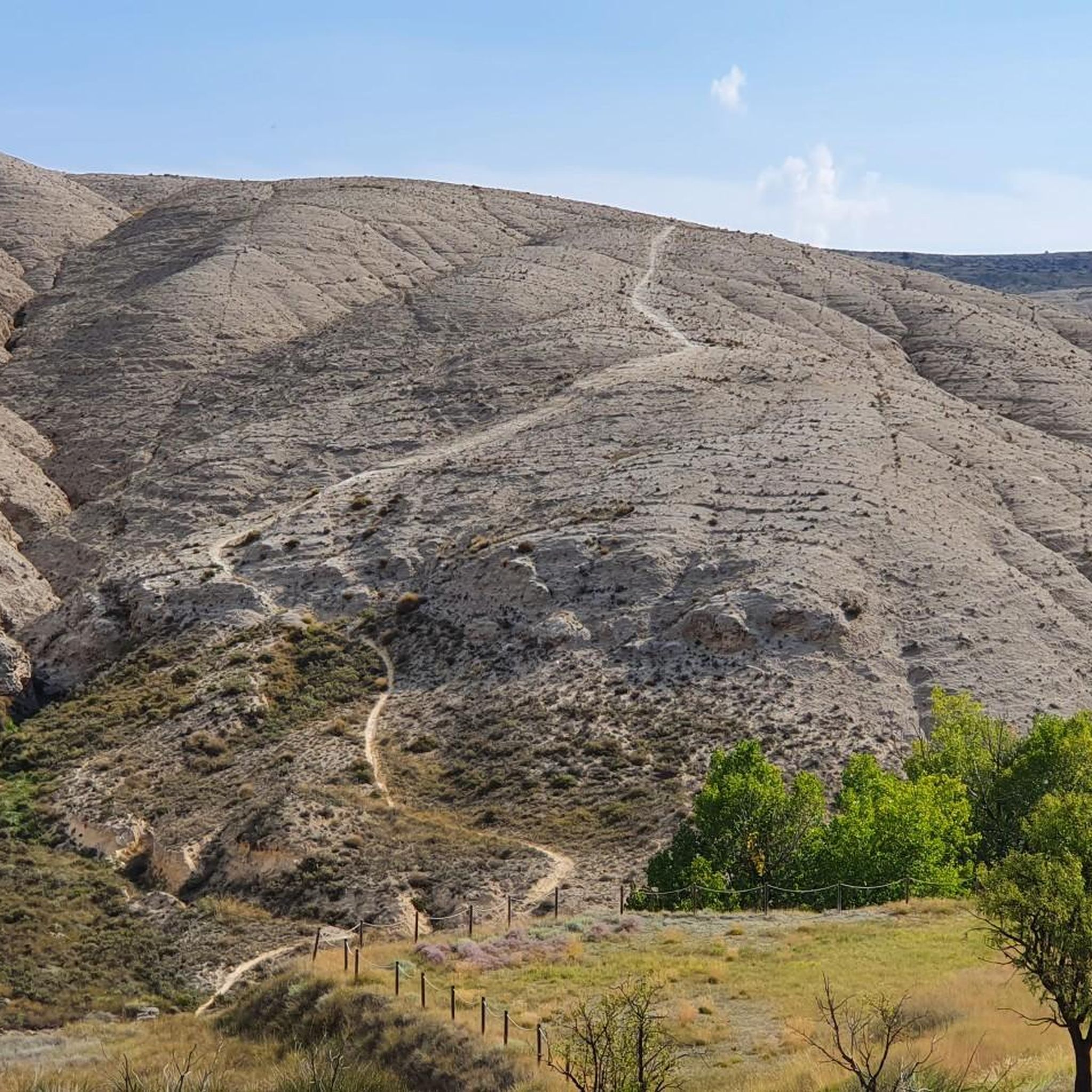
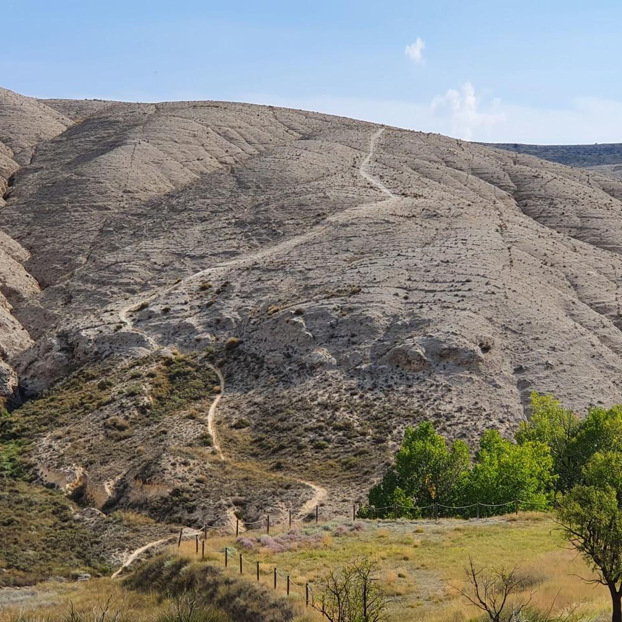
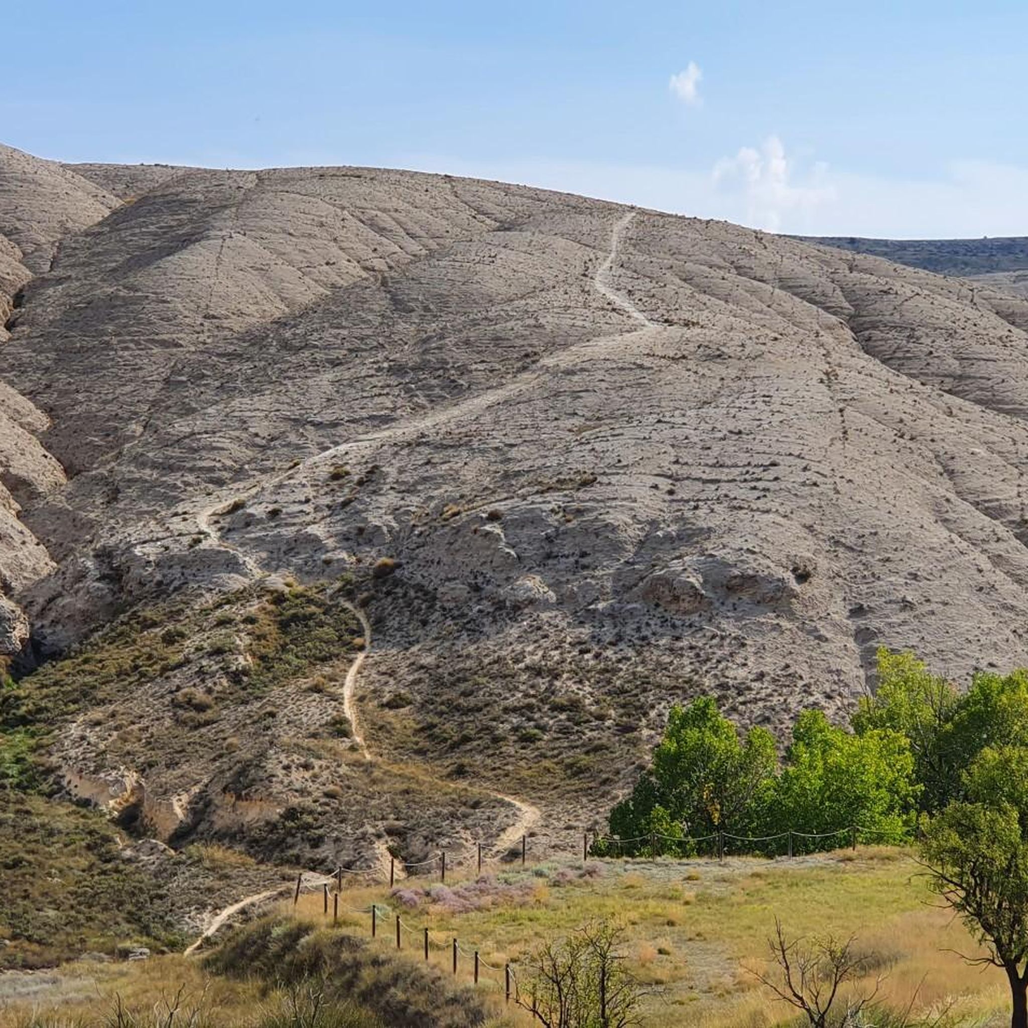
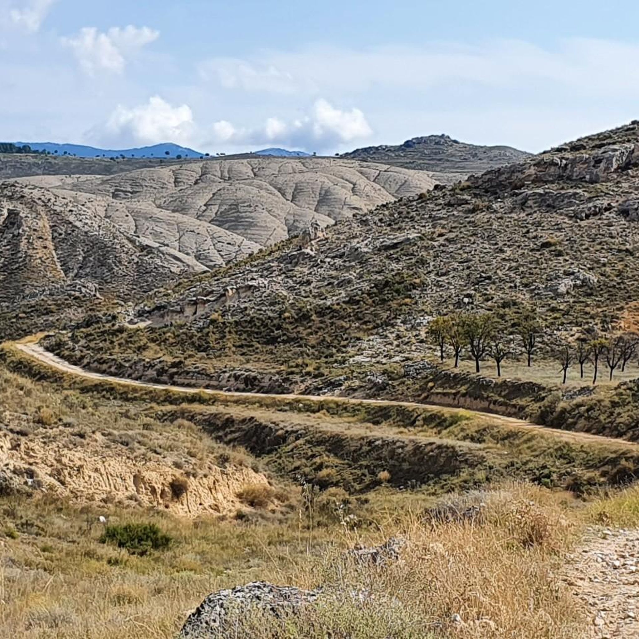

Tips from the Community


It is the highest point for many kilometers in the surrounding area (next to Pico de la Nevera, which cannot be accessed because it is a military installation). In summer there are fire surveillance personnel because it is a place with impressive views.
0
0

We are at the Pico del Rayo, the highest peak of the Sierra de Victor at 1427 masl with magnificent views of the Iberian System and Moncayo.
0
0

The peak of Rayo with 1,427 meters of altitude, is the highest peak of the Sierra Vicor. It is the second highest peak in the Iberian System of Zaragoza after Moncayo.
10
0

The landmark of the city of Calatayud, which was under Muslim rule until the 12th century, are clearly the two towers of the churches of Santa María la Mayor and San Andrés, which together form the unmistakable silhouette of the city, especially beautiful at sunset. Many buildings are in the Mudejar architectural style, declared a World Heritage Site.
1
0
Frequently Asked Questions
How many running routes are available in Villalba De Perejil?
There are over 45 dedicated running routes around Villalba De Perejil, catering to various fitness levels and preferences. You'll find everything from challenging mountain trails to more accessible loops.
What kind of terrain can I expect when jogging in Villalba De Perejil?
The region offers diverse terrain, from the demanding inclines of the Sierra de Vicor mountain range to more accessible, flatter loops. You can expect varied landscapes, including mountainous sections and scenic paths through natural areas.
Are there options for experienced trail runners seeking a challenge?
Absolutely. The Sierra de Vicor provides excellent opportunities for experienced trail runners. Routes like the "Ascent to Pico del Rayo Trail" offer significant elevation gains, with Pico del Rayo itself reaching 1427 meters above sea level, providing magnificent panoramic views. Another challenging option is the "Pico del Rayo - Sierra de Vicor Loop," a 19.9 km journey with an 830-meter ascent.
Are there easier running paths for beginners or casual joggers?
Yes, there are several moderate and easy options available. For instance, the "Calatayud loop" is an 8.18 km path with minimal elevation change, ideal for a less strenuous run. Overall, 2 easy and 32 moderate routes are listed in the area, ensuring options for all abilities.
What interesting landmarks or natural features can I see along the running routes?
Many routes offer scenic views and points of interest. You can encounter the curious statue of San Vicente atop a rock in the Sierra de Vicor, near ancient cabin ruins. The highest point, Pico del Rayo, offers stunning panoramic views. Other nearby attractions include the town of Calatayud and the Maluenda castle.
Are there any circular running routes in the area?
Yes, many of the running routes in Villalba De Perejil are circular, allowing you to start and finish at the same point. For example, the Calatayud loop from Calatayud is a difficult 15.9 km circular route, and the Peak loop from Calatayud is a moderate 7.3 km option.
Are there any facilities like picnic areas or water sources along the trails?
Yes, the El Frasno refuge is a notable stop for outdoor enthusiasts, offering a convenient picnic area and a public fountain. This is perfect for refueling during longer jogs or hikes in the Sierra de Vicor area.
Can I bring my dog on the running trails in Villalba De Perejil?
While specific regulations for each trail vary, generally, many natural trails in the region are dog-friendly. It's always recommended to keep your dog on a leash, especially in areas with wildlife or near livestock, and to carry waste bags. Check individual route details for any specific restrictions.
What is the best time of year to go jogging in Villalba De Perejil?
The diverse terrain of Villalba De Perejil makes it suitable for jogging across multiple seasons. Spring and autumn generally offer pleasant temperatures for running. Summer can be warm, especially at lower elevations, so early morning or late afternoon runs are advisable. Winter running is possible, particularly on less exposed routes, but higher elevations like Pico del Rayo may require appropriate gear.
Where can I find parking for the running trails?
Parking availability varies by trailhead. Many routes, especially those starting from towns like Calatayud or Coso de Margarita, will have designated parking areas nearby. For routes venturing into more remote areas of the Sierra de Vicor, roadside parking might be available, but it's always best to check the specific route details on komoot for recommended starting points and parking information.
Are there any long-distance running trails available?
Yes, for those looking for longer runs, routes like the Bilbilis loop from Calatayud cover 18.6 km, offering a significant distance for endurance training. The "Pico del Rayo - Sierra de Vicor Loop" at 19.9 km also provides a substantial challenge.
Most popular routes around Villalba De Perejil
Most popular attractions around Villalba De Perejil

Get inspired with the komoot mobile app


Explore more
Browse the best Running Trails & Routes in other regions.
