Comunidad de Barbadillo del Pez y Jaramillo de la Fuente
Comunidad de Barbadillo del Pez y Jaramillo de la Fuente
The best running trails around Comunidad de Barbadillo del Pez y Jaramillo de la Fuente
123
runners
10
runs
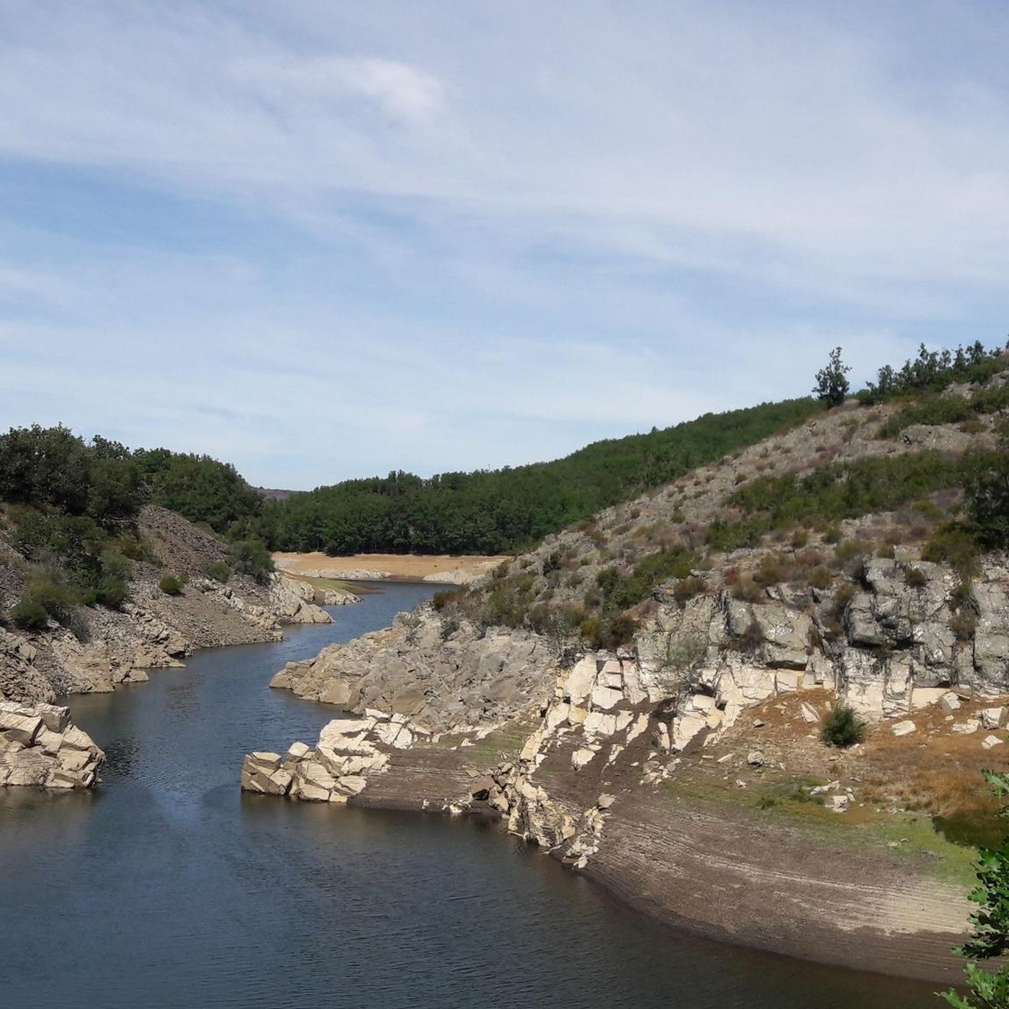
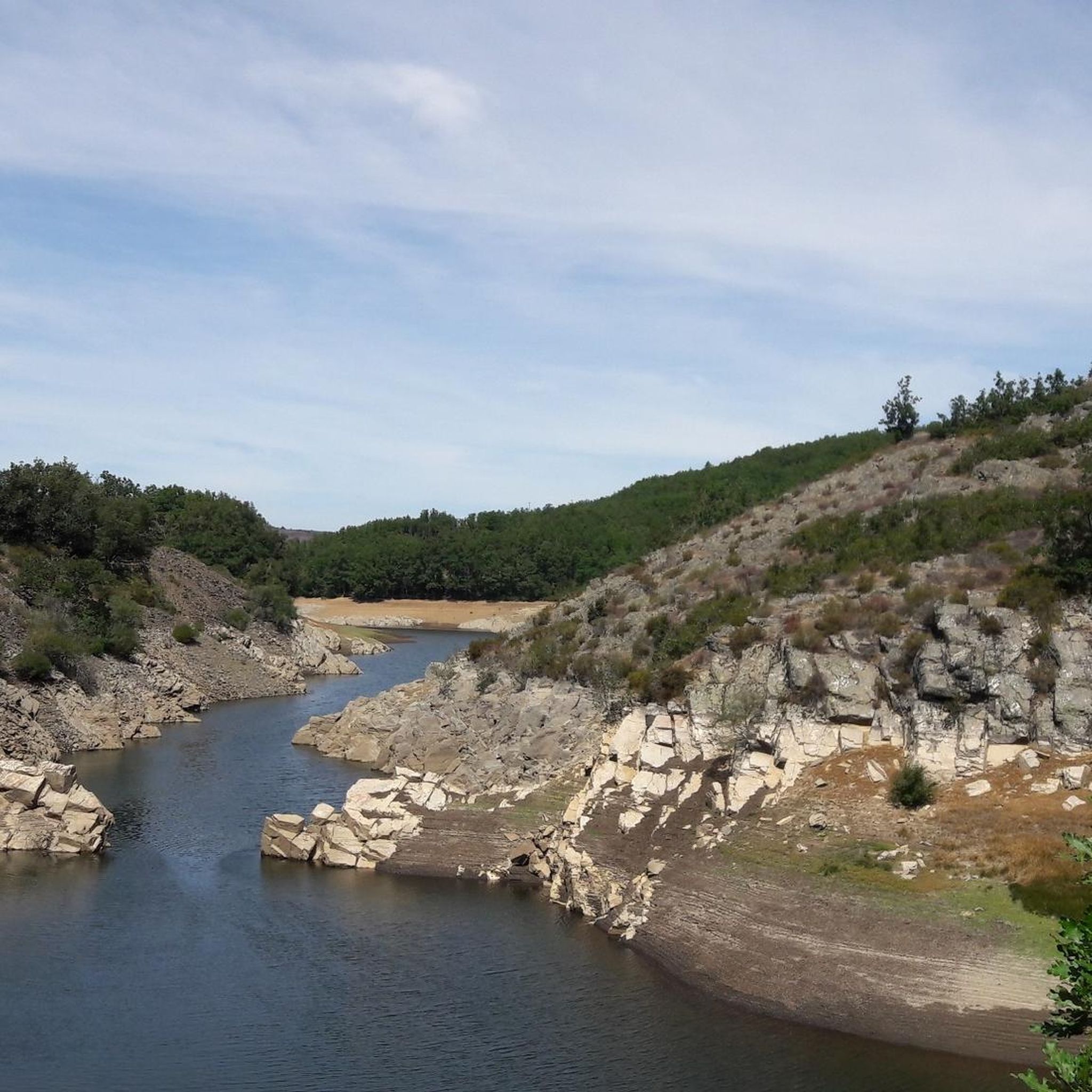
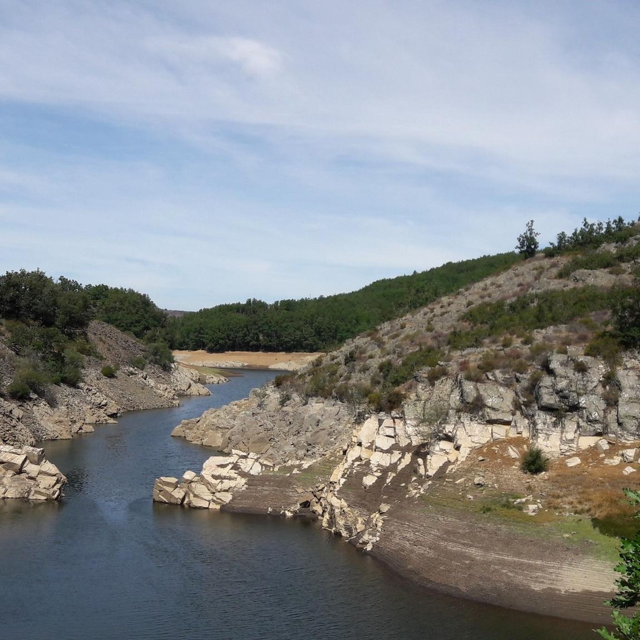
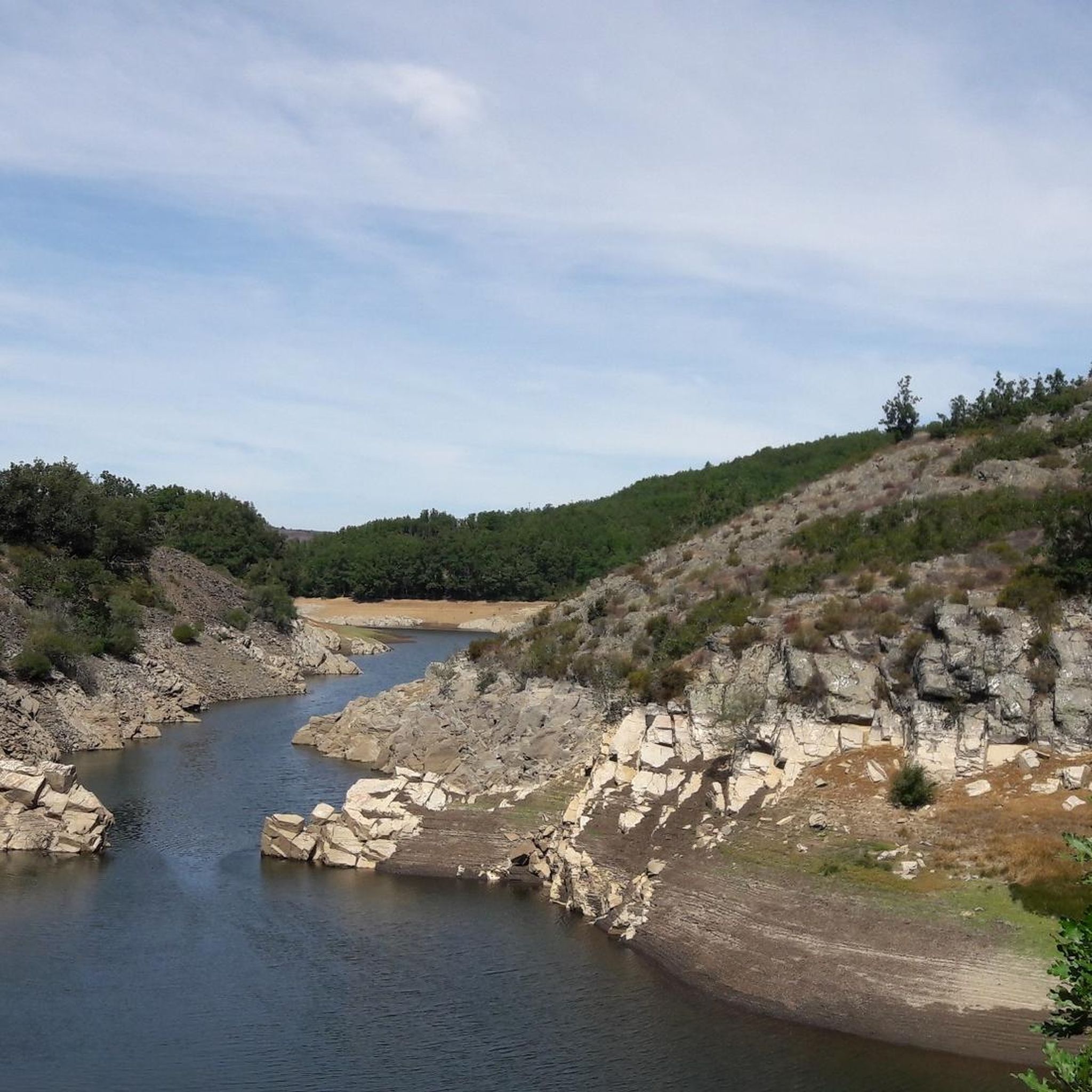
Jogging around Comunidad de Barbadillo del Pez y Jaramillo de la Fuente offers diverse terrain within the Sierra de la Demanda, characterized by extensive oak, beech, and pine forests. The region features the Río Pedroso, which carves through gorges and forms waterfalls, providing dynamic running environments. Runners can expect varied elevation profiles, from river valleys to higher mountainous areas, including the prominent Pico Mencilla.
Best jogging routes around Comunidad de Barbadillo del Pez y Jaramillo de la Fuente
- The most…
Last updated: July 12, 2026
16.1km
02:06
540m
540m
Hard run. Very good fitness required. Mostly accessible paths. Some sure footedness required.
38
runners
10.1km
01:50
730m
730m
Hard run. Very good fitness required. Mostly paved surfaces. Suitable for all skill levels.

Sign up for free
26
runners
35.1km
05:27
1,720m
1,720m
Hard run. Very good fitness required. Sure-footedness, sturdy shoes and alpine experience required.
26
runners
29.8km
05:01
1,780m
1,780m
Hard run. Very good fitness required. Sure-footedness, sturdy shoes and alpine experience required.
12
runners
18.5km
02:46
900m
900m
Hard run. Very good fitness required. Mostly paved surfaces. Suitable for all skill levels.
Get access to more routes and recommendations from other explorers.
Sign up for free
Already have an account?
Our route recommendations are based on thousands of hikes, rides, and runs completed by other people on komoot.
Start today with a free account
Your next adventure awaits.
Login or Signup
Popular around Comunidad de Barbadillo del Pez y Jaramillo de la Fuente
Tips from the Community

beautiful climb via the greenway or the road
0
0

Spectacular area for hiking routes
0
0
a highly recommended area for hiking.
0
1

There is always the solution to difficult points: doing them by road.
0
0

There are many routes, both easy and difficult, to choose from. The Sierra is very beautiful, especially in autumn.
0
0

The railway crossed this port through a tunnel. When making the greenway, the original route was not recovered, so the arrival and departure of the port are two very steep slopes. Most panniers make them by pushing the bike.
1
0

The path leaves El Portillo on the east side, goes up a few meters along a channel and enters the north side. If the mountain has snow, this section is dangerous because the cold and shady conditions keep the path icy and the fall is fatal; crampons and ice axes would be essential. The alternative is to climb directly along the channel on the east face, with less slope, sunnier and direct to the summit of San Millán (2,131 m), also called El Torruco. At the top there is a small circular stone tower adorned with a metal house and other festival motifs left by mountaineers. The southern slope of the mountain is a large mass of gentle slopes with no remains of glacial activity towards the valley of the Arlanzón River. The descent continues along the west face, enjoying extraordinary views of the Urbión River valley and the glacial cirque where the San Millán lagoon appears half frozen.
0
0

From the top of Pico Mencilla, you can see Pico Trigaza and San Millan
1
0
Frequently Asked Questions
Are there any easy running routes in Comunidad de Barbadillo del Pez y Jaramillo de la Fuente?
The jogging routes in this region are primarily designed for experienced runners, featuring varied elevation and mountainous terrain. While the area offers a multitude of trails, komoot currently lists 10 difficult routes and only 1 moderate route, with no easy options specifically for jogging. However, the region's 'rutas de senderismo' (hiking trails) do cater to various fitness levels, so you might find some paths suitable for a relaxed run if you adapt your pace.
Can I find circular jogging routes in this region?
Yes, many of the running routes in Comunidad de Barbadillo del Pez y Jaramillo de la Fuente are circular. For example, the challenging Ascent to Alto de Gayubar — circular from Vallejimeno is a popular option, offering a 10.0-mile (16.1 km) loop through forested slopes. Another demanding circular path is the Pineda de la Sierra – San Millán (2,131 m) loop from Pineda de la Sierra, which covers 18.5 miles (29.8 km) through high mountain landscapes.
What kind of natural landmarks or viewpoints can I expect to see while running?
The Sierra de la Demanda is rich in natural beauty. You can expect to encounter extensive oak, beech, and pine forests, and the Río Pedroso which carves through gorges. The region also boasts a succession of picturesque glacial lakes. For breathtaking panoramic views, look out for numerous 'miradores' (viewpoints) along the trails. Some routes may even take you past prominent peaks like Pico Mencilla or Alto de Gayubar.
Are the jogging trails in Comunidad de Barbadillo del Pez y Jaramillo de la Fuente suitable for families?
Given that most of the listed jogging routes are classified as difficult, they might be challenging for younger children or families seeking very easy, flat paths. However, the region does offer a variety of 'rutas de senderismo' (hiking trails) that range in difficulty. For a more accessible option, consider sections of the Sierra de la Demanda Greenway, an old railway line converted into a natural path, which is generally flatter and suitable for walking or gentle jogging with family.
Can I bring my dog on the running trails?
While specific regulations for dogs on these trails are not detailed, the Sierra de la Demanda is a natural park area. Generally, dogs are welcome on trails in natural settings in Spain, but it's always advisable to keep them on a leash, especially in areas with wildlife or livestock, and to clean up after them. The extensive forests and varied terrain offer a great environment for you and your canine companion to enjoy together.
What is the best time of year to go jogging in the Sierra de la Demanda?
The Sierra de la Demanda, with its often snow-capped peaks, offers different experiences throughout the year. Spring and autumn are generally ideal, providing pleasant temperatures and vibrant natural scenery. Summer can be warm, but the dense oak, beech, and pine forests offer welcome shade. Winter jogging is possible, especially on lower elevation trails, but higher mountainous routes may be challenging due to snow and ice, requiring appropriate gear and caution.
Are there any routes that pass by waterfalls or rivers?
Yes, the Río Pedroso flows through Barbadillo del Pez and is known for carving out impressive gorges and featuring several waterfalls. The valley surrounding the river is largely covered by dense oak forests, offering dynamic and scenic routes. Look for trails that follow the river's course to experience these beautiful water features.
How many jogging routes are available in total for this region?
Komoot currently lists 11 jogging routes around Comunidad de Barbadillo del Pez y Jaramillo de la Fuente. These routes primarily cater to experienced runners, with 10 classified as difficult and 1 as moderate, offering a range of challenging mountain and forest runs.
Where can I park my car when accessing the running trails?
While specific parking locations for each trailhead are not detailed, many routes start from or pass through villages like Pineda de la Sierra or Vallejimeno. These villages typically offer parking facilities. For routes like the Puerto del Manquillo – Pineda de la Sierra loop, starting points in or near these settlements are common access points.
What kind of wildlife might I encounter on the trails?
The Sierra de la Demanda is a natural paradise with extensive forests, making it a great place for wildlife spotting. While jogging, you might encounter various bird species, deer, wild boar, and other forest animals. The tranquil paths through dense woodlands provide an excellent opportunity to observe the local fauna in their natural habitat.
Are there any historical or cultural sites along the running paths?
Yes, the region offers a unique blend of natural beauty and cultural heritage. Many routes pass through charming villages with well-preserved Rural Romanesque architecture, allowing you to incorporate cultural exploration into your run. Additionally, the area is known for paleontological sites, such as dinosaur footprints, and one of Europe's largest concentrations of early medieval necropolises and hermitages, adding an element of historical discovery to your outdoor excursion.
What are the typical lengths of the jogging routes here?
The jogging routes in Comunidad de Barbadillo del Pez y Jaramillo de la Fuente vary significantly in length, catering to different endurance levels. You can find routes ranging from approximately 10 miles (16 km), like the Ascent to Alto de Gayubar, up to longer, more challenging trails such as the San Millán loop from Valle del Sol, which spans 21.6 miles (34.8 km).
What makes the jogging experience unique in Comunidad de Barbadillo del Pez y Jaramillo de la Fuente?
The jogging experience here is unique due to the stunning combination of varied terrain, extensive trail networks, and breathtaking natural beauty within the Sierra de la Demanda. Runners consistently praise the majestic mountainous backdrops, dense forests of oak, beech, and pine, and the dynamic river valleys with their gorges and waterfalls. The region offers a true immersion in nature, making every run a memorable adventure.
Most popular routes around Comunidad de Barbadillo del Pez y Jaramillo de la Fuente
Most popular attractions around Comunidad de Barbadillo del Pez y Jaramillo de la Fuente

Get inspired with the komoot mobile app


Explore more
Browse the best Running Trails & Routes in other regions.
