The best road cycling routes around Brunnthal
4.6
(2738)
40,898
riders
19
rides
Brunnthal road bike routes traverse the Bavarian Alpine foothills south of Munich, offering diverse terrain for road cyclists. The region features a hilly countryside with a constant alternation of ascents and descents, alongside lonely, paved roads through rural landscapes. Cyclists can expect to encounter meadow orchards, green forests, and routes providing views of the Alps.
Best road cycling routes around Brunnthal
- The most popular road cycling route is Geilertshauser Allee – Dietramszell Monastery loop from Dürrnhaar, a 43.0 miles…
Last updated: June 28, 2026
5.0
(1)
32
riders
26.8km
01:04
90m
90m
Easy road ride. Great for any fitness level. Mostly well-paved surfaces and easy to ride.
23
riders
32.0km
01:17
130m
130m
Easy road ride. Great for any fitness level. Mostly well-paved surfaces and easy to ride.

Sign up for free
13
riders
Easy road ride. Great for any fitness level. Mostly well-paved surfaces and easy to ride.
24
riders
20.2km
00:48
50m
50m
Easy road ride. Great for any fitness level. Mostly well-paved surfaces and easy to ride.
24
riders
20.1km
00:49
60m
60m
Easy road ride. Great for any fitness level. Mostly well-paved surfaces and easy to ride.
Get access to more routes and recommendations from other explorers.
Sign up for free
Already have an account?
Our route recommendations are based on thousands of hikes, rides, and runs completed by other people on komoot.
Start today with a free account
Your next adventure awaits.
Login or Signup
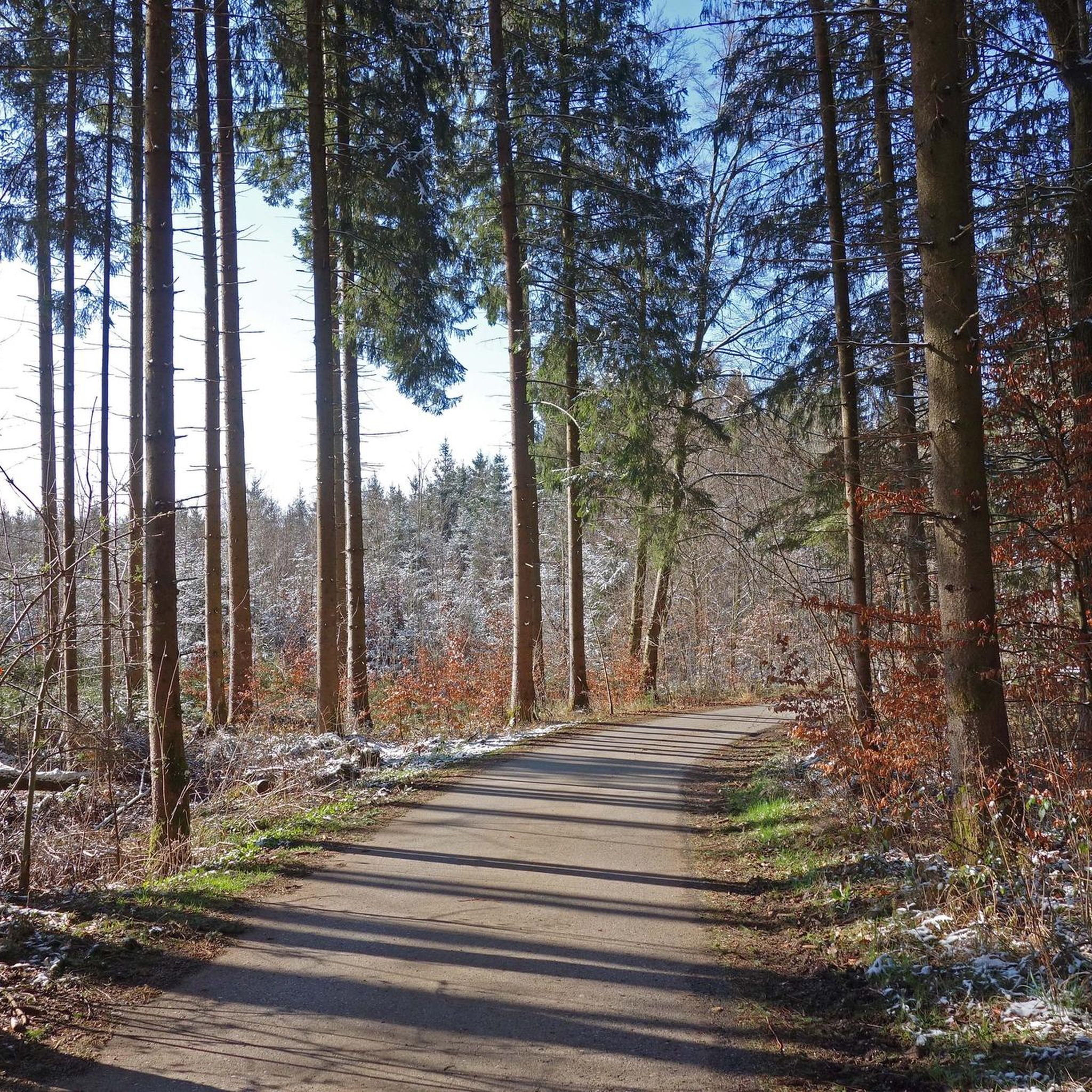
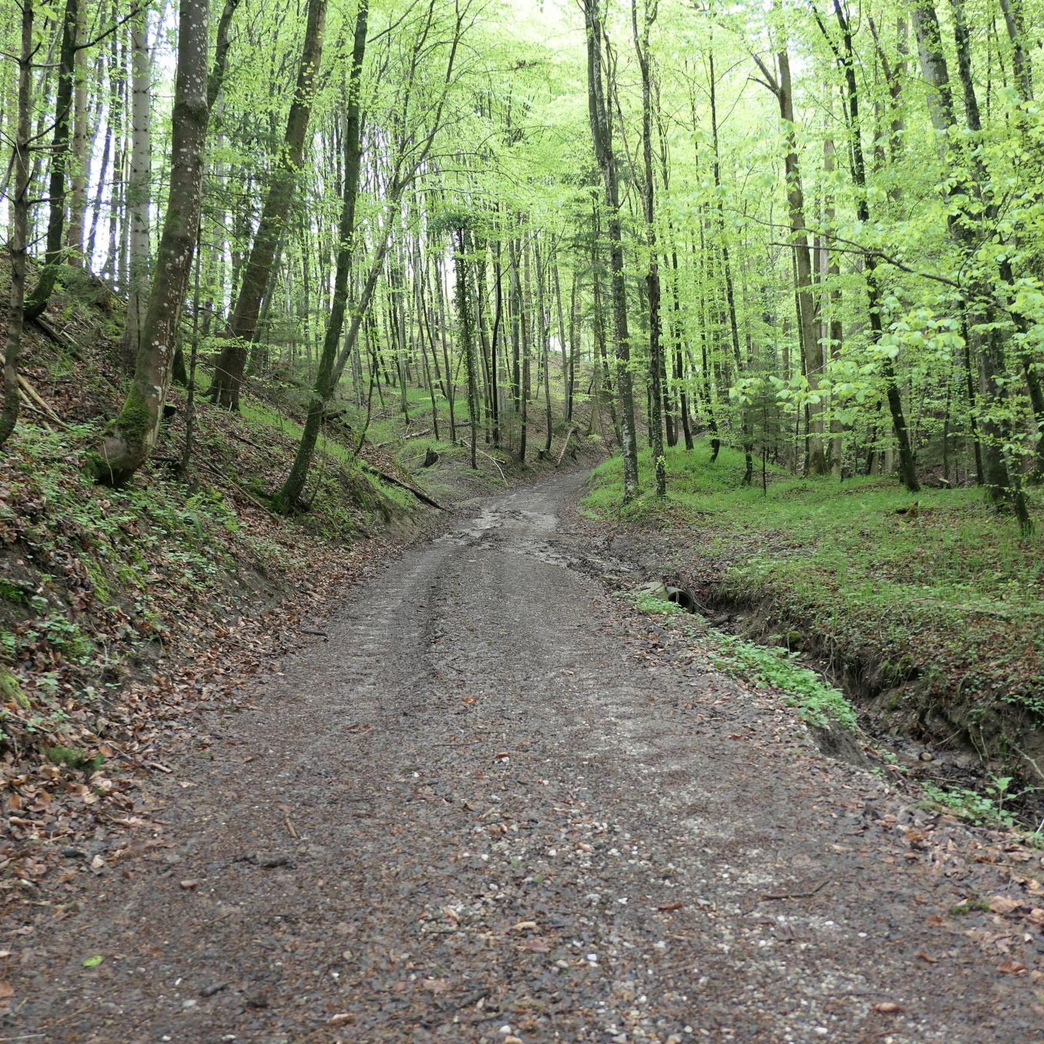
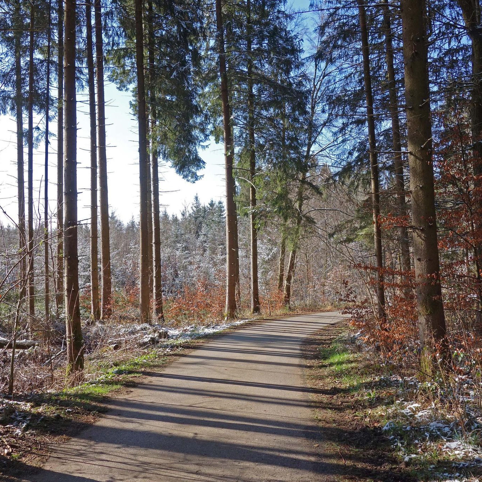

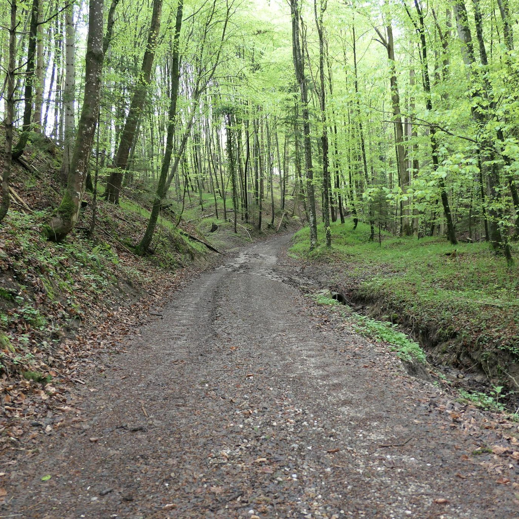
Tips from the Community

A really cool bike path on great asphalt. The average speed can be increased here.
1
1

It wouldn't be a bad idea if the speed drivers switched to the Nürburgring. It's a dangerous track for pedestrians!
2
4

If you're not in a hurry and want to cycle leisurely through town, you shouldn't miss this gem.
0
1
On the race track, there is this inconspicuous little hut by the side of the road with a vending machine inside that doesn't sell drinks or anything like that, but rather eggs, honey, and game.
0
1

A cycling and walking path, quite busy in good weather, including dog walkers. I prefer to ride on the road then!
0
0

cycle path
0
0

Small shortcut, main road but with better asphalt.
0
0

A nice straight road for speeding
0
0
Frequently Asked Questions
How many road cycling routes are available around Brunnthal?
There are over 550 road cycling routes around Brunnthal, offering a wide variety of options for different skill levels and preferences. The komoot community has explored more than 37,000 of these routes.
What kind of terrain can I expect on road cycling routes in Brunnthal?
Brunnthal's road cycling routes traverse the Bavarian Alpine foothills, featuring a hilly countryside with a constant alternation of ascents and descents. You'll find lonely, small roads continuously paved through rural landscapes, meadow orchards, and green forests, often providing spectacular views of the Alps.
What do other cyclists say about road cycling in Brunnthal?
The road cycling routes in Brunnthal are highly rated by the komoot community, with an average score of 4.6 stars from over 2,400 reviews. Cyclists often praise the diverse terrain, the scenic views of the Alps, and the quiet, well-paved roads through the rural south of Munich.
Are there road cycling routes suitable for beginners in Brunnthal?
Yes, Brunnthal offers over 200 easy road cycling routes. An excellent option for beginners is the Deisenhofen railway line – Fast road loop from Brunnthal, which is 19.9 miles (32.0 km) long and leads through remote roads with minimal elevation gain.
Where can I find more challenging road cycling routes in Brunnthal?
For more athletic cyclists seeking a challenge, Brunnthal's hilly countryside provides routes with steep ascents and fast descents. Consider the Geilertshauser Allee – Dietramszell Monastery loop from Dürrnhaar, a 43.0-mile (69.2 km) route with significant elevation changes, or explore one of the 33 difficult routes available.
Are there any circular road cycling routes around Brunnthal?
Many of the road cycling routes in Brunnthal are designed as loops, allowing you to start and end at the same point. Examples include the Fields Near Großdingharting – View from Ludwigshöhe loop from Dürrnhaar, which offers great views, and the Bike Path Along the M11 loop from Hofolding.
What are some scenic road cycling routes with good views in Brunnthal?
The region is known for its scenic beauty. Routes south of Munich in the district of Dietramszell often provide great views of the Alps. The Fields Near Großdingharting – View from Ludwigshöhe loop from Dürrnhaar specifically highlights a viewpoint. You can also find magnificent vistas along less-frequented roads throughout the hilly countryside.
When is the best time of year for road cycling in Brunnthal?
Spring and summer are ideal for road cycling in Brunnthal. In spring, you can enjoy the vibrant scenery, including blossoming cherry trees along the road between Hohenbrunn and Aying. The well-paved roads are generally suitable for cycling throughout these seasons, offering pleasant conditions to explore the diverse landscapes.
What historical or cultural attractions can I explore near the road cycling routes in Brunnthal?
Beyond the cycling, the area offers historical sites. You can find notable architecture like the 18th-century St. Johannes Church and the Brunnthal Hofolding Kapelle St. Maria. Several castles are also nearby, such as Grünwald Castle and Egmating Castle, which can be interesting stops along your ride.
Are there any natural landmarks or points of interest along the routes?
Yes, the routes often pass through scenic meadow orchards and green forests. You'll also encounter stunning views of the Alps, particularly from elevated points like the View of the Alps from Ludwigshöhe. The Isar Riverbank and Trail is also accessible nearby, offering a different natural experience.
Are there places to stop for refreshments or cafes along the road cycling routes?
Many routes in the rural south of Munich lead to traditional stopping points, which often include cafes or inns where you can take a break and refuel. While specific cafes aren't listed, the presence of these traditional stops suggests opportunities for refreshments.
Can I access road cycling routes in Brunnthal using public transport?
Brunnthal's proximity to Munich suggests potential public transport access points, especially for routes starting from towns like Dürrnhaar or Brunnthal itself, which may have local train or bus connections. It's advisable to check local public transport schedules for specific starting points.
Are there parking options available near the road cycling routes in Brunnthal?
Given the rural nature of many routes, parking is generally available in the villages and towns where routes typically start, such as Dürrnhaar or Hofolding. Look for designated parking areas or street parking in these communities.
Most popular attractions around Brunnthal

Get inspired with the komoot mobile app


Explore more
Browse the best Road cycling routes in other regions.
