The best road cycling routes around Brunnhartshausen
4.6
(99)
899
riders
74
rides
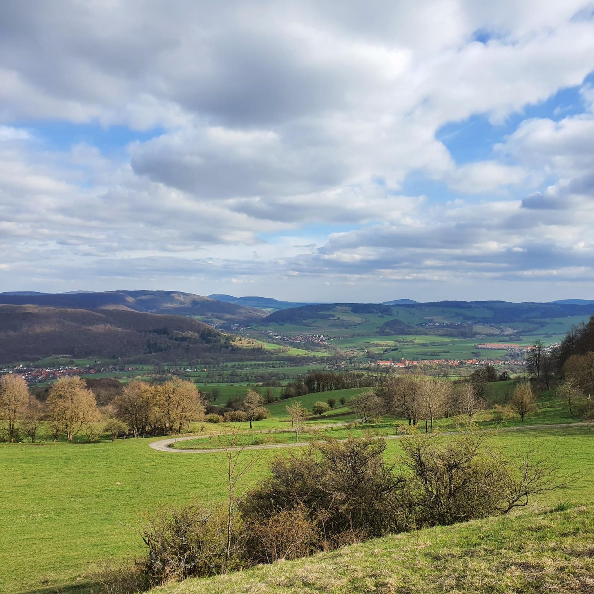
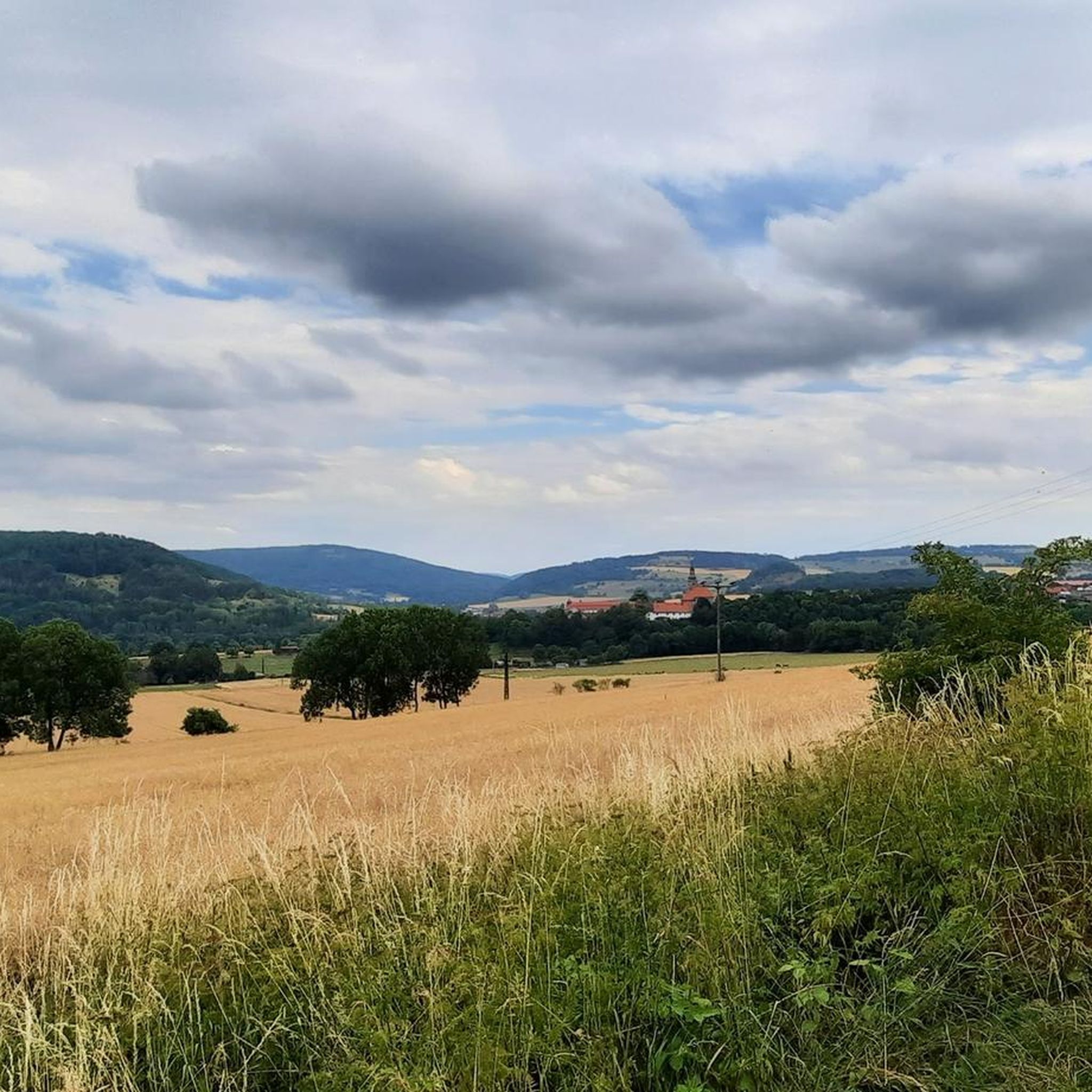
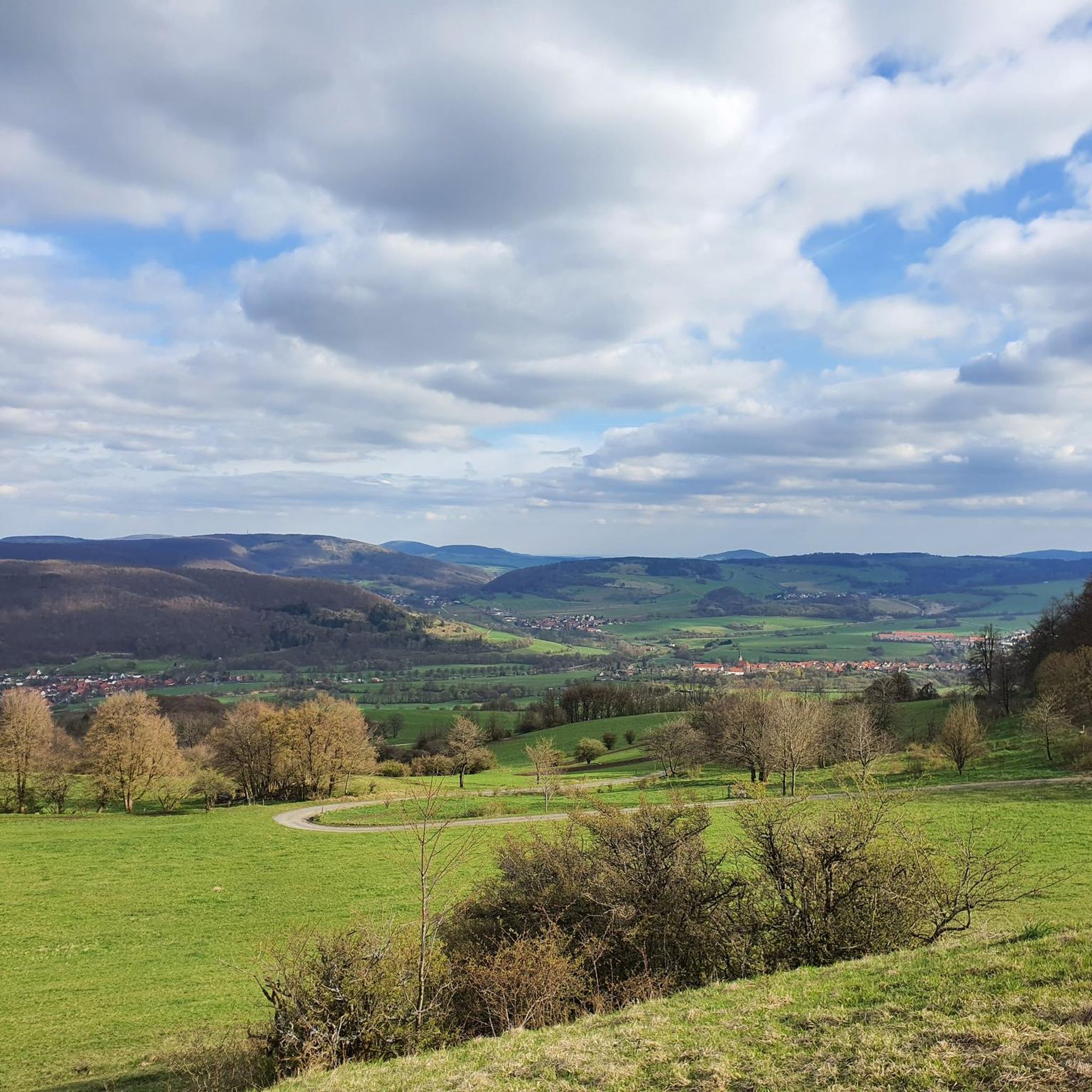
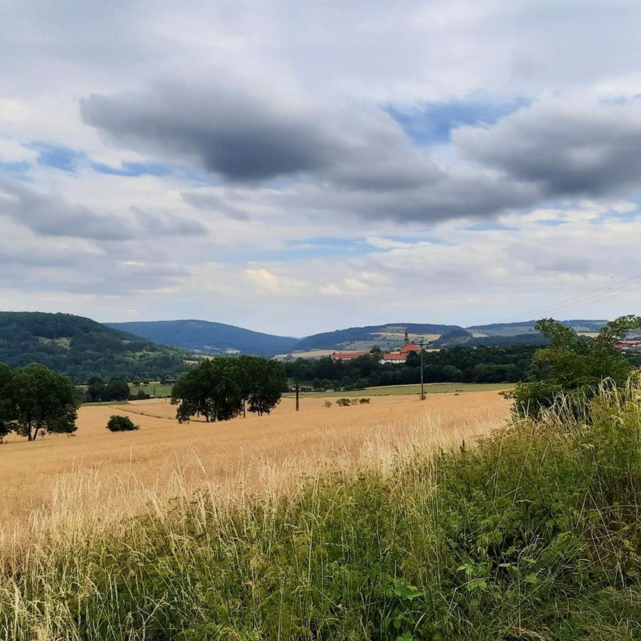
Road cycling around Brunnhartshausen is set within the Rhön Biosphere Reserve, an area characterized by rolling hills, expansive plateaus, and river valleys. The landscape features volcanic hills like Gläserberg and Arnsberg, offering varied terrain for ascents and descents. Cyclists can expect routes through meadows and beech forests, with some sections following river courses such as the Steinbach. This diverse topography provides a range of road cycling experiences.
Best road cycling routes around Brunnhartshausen
- The most popular road cycling route is…
Last updated: July 6, 2026
4.6
(11)
49
riders
56.3km
02:36
470m
470m
Moderate road ride. Good fitness required. Mostly well-paved surfaces and easy to ride.
5.0
(1)
22
riders
50.5km
02:24
540m
550m
Moderate road ride. Good fitness required. Mostly well-paved surfaces and easy to ride.

Sign up for free
5.0
(1)
13
riders
119km
05:02
710m
710m
Hard road ride. Very good fitness required. Some segments of this route may be unpaved and difficult to ride.
5.0
(1)
4
riders
108km
04:36
890m
890m
Moderate road ride. Good fitness required. Some segments of this route may be unpaved and difficult to ride.
3.0
(5)
9
riders
14.2km
00:38
140m
140m
Easy road ride. Great for any fitness level. Mostly well-paved surfaces and easy to ride.
Get access to more routes and recommendations from other explorers.
Sign up for free
Already have an account?
Our route recommendations are based on thousands of hikes, rides, and runs completed by other people on komoot.
Start today with a free account
Your next adventure awaits.
Login or Signup

Tips from the Community


Water feature in Neidhartsha🏞🎡
0
0


Refreshment stop located directly on the cycle path.
0
0
Lost place located directly on the bike path.
0
0

Good road to really get going on a racing bike.
0
0
Great cycle path that connects Breitungen with Wernshausen. Good surface and plenty of space
2
0
Beautiful bathing lake with a beautiful connected cycle route across the farms
0
0
Frequently Asked Questions
What kind of terrain can I expect when road cycling near Brunnhartshausen?
Road cycling around Brunnhartshausen offers a diverse landscape within the Rhön Biosphere Reserve. You'll encounter rolling hills, expansive plateaus, and picturesque river valleys. The area is characterized by volcanic hills such as Gläserberg and Arnsberg, providing opportunities for both challenging ascents and exhilarating descents. Routes often traverse meadows and pristine beech forests, with some sections following tranquil river courses like the Steinbach.
How many road cycling routes are available around Brunnhartshausen?
There are over 70 road cycling routes available around Brunnhartshausen, catering to various skill levels. This includes 7 easy routes, 35 moderate routes, and 34 difficult routes, ensuring options for every type of road cyclist.
Are there routes suitable for beginners or less experienced road cyclists?
Yes, there are several routes suitable for beginners or those seeking a more relaxed ride. For example, the region offers 7 easy routes. While specific beginner routes are not detailed here, the broader Rhön Cycleway, accessible from Brunnhartshausen, includes sections primarily following tarmacked paths and quiet roads, which can be suitable for less experienced riders.
Are there challenging road cycling routes for experienced riders?
Absolutely. For experienced riders seeking a challenge, there are 34 difficult routes around Brunnhartshausen. These routes often feature significant elevation gains, tackling the volcanic hills of the Rhön. An example of a challenging route is the Immelborn pond – Breitunger Lakes loop from Empfertshausen, which covers 74.2 miles (119.5 km) with over 700 meters of elevation gain.
What scenic viewpoints can I find along road cycling routes in Brunnhartshausen?
The volcanic hills and varied elevation in the Rhön Biosphere Reserve provide numerous vantage points for scenic stops. You can enjoy sweeping views across meadows and forests. A notable highlight is the Gläserberg Summit, which offers panoramic vistas. Many routes, like the View of Rockenstuhl – Sängerwiese Bermbach loop from Andenhausen, are specifically praised for their scenic views across the Rhön landscape.
Are there any historical or cultural landmarks to see while cycling?
Yes, the region around Brunnhartshausen is rich in history and culture. You can cycle through historic villages with traditional half-timbered buildings. Notable landmarks include the Point Alpha Memorial and the Todesstreifen Memorial at the Inner German Border, which offer insights into Germany's past. Additionally, you might encounter various castles such as Tann Castle or Geisa Castle.
Can I find routes that follow river valleys or pass by natural features?
Yes, many routes in the area incorporate natural features. Brunnhartshausen itself lies in a valley basin traversed by the Steinbach, which flows into the Felda river, suggesting pleasant routes along watercourses. The Immelborn pond – Breitunger Lakes loop from Empfertshausen is an example of a route that leads through river valleys and past lakes, including the Bernshäuser Kutte.
Is the Rhön Cycleway accessible from Brunnhartshausen, and is it suitable for road bikes?
Yes, the 180-kilometer Rhön Cycleway, which traverses the UNESCO Biosphere Reserve, is accessible from the Brunnhartshausen area and is explicitly noted as suitable for road bikes. It primarily follows tarmacked paths and quiet roads away from heavy traffic, offering stages with varying lengths and elevation gains.
What is the best time of year for road cycling around Brunnhartshausen?
The Rhön region, including Brunnhartshausen, is generally pleasant for road cycling from spring through autumn. Spring offers fresh greenery, while summer provides warmer temperatures. Autumn brings beautiful foliage. It's advisable to check local weather conditions, especially for higher elevations, as they can vary.
How do other cyclists rate the road cycling experience in Brunnhartshausen?
The road cycling experience around Brunnhartshausen is highly rated by the komoot community, with an average score of 4.6 stars from over 90 reviews. More than 800 road cyclists have used komoot to explore the varied terrain, often praising the scenic views, diverse routes, and well-maintained roads.
Are there any loop trails for road cycling in the area?
Yes, many of the road cycling routes around Brunnhartshausen are designed as loops, allowing you to start and end at the same point. Examples include the popular Sängerwiese Bermbach – Werrabrücke Vacha loop from Dermbach and the View of Kaltennordheim – Feldabahn Cycle Path loop from Dermbach, which offers a longer, moderate ride.
Most popular routes around Brunnhartshausen
Most popular attractions around Brunnhartshausen

Get inspired with the komoot mobile app


Explore more
Browse the best Road cycling routes in other regions.
