The best cycling routes around Réserve naturelle du Massif du Monte Ritondu
4.5
(212)
2,076
riders
55
rides
Touring cycling around Réserve naturelle du Massif du Monte Ritondu offers routes through rugged mountainous terrain, deep valleys, and gorges. The landscape, sculpted by glacial activity, features an alpine environment with steep slopes and diverse vegetation, including pine forests at lower elevations. An extensive cycling network of 117 km, with 84 km through natural landscapes, invites cyclists to explore the region's natural features. The surrounding areas of the massif provide challenging ascents and scenic routes for road cycling.
Best touring…
Last updated: July 12, 2026
4.7
(28)
240
riders
21.3km
01:38
570m
570m
Hard bike ride. Very good fitness required. Mostly paved surfaces. Suitable for all skill levels.
4.4
(7)
94
riders
12.6km
00:54
270m
270m
Moderate bike ride. Good fitness required. Mostly paved surfaces. Suitable for all skill levels.

Sign up for free
5.0
(1)
53
riders
8.90km
00:45
300m
300m
Moderate bike ride. Good fitness required. Mostly paved surfaces. Suitable for all skill levels.
4.4
(5)
83
riders
40.7km
02:59
880m
880m
Hard bike ride. Very good fitness required. Mostly paved surfaces. Suitable for all skill levels.
3.0
(1)
9
riders
99.8km
07:39
2,620m
2,620m
Hard bike ride. Very good fitness required. Mostly paved surfaces. Suitable for all skill levels.
Get access to more routes and recommendations from other explorers.
Sign up for free
Already have an account?
Our route recommendations are based on thousands of hikes, rides, and runs completed by other people on komoot.
Start today with a free account
Your next adventure awaits.
Login or Signup
Popular around Réserve naturelle du Massif du Monte Ritondu
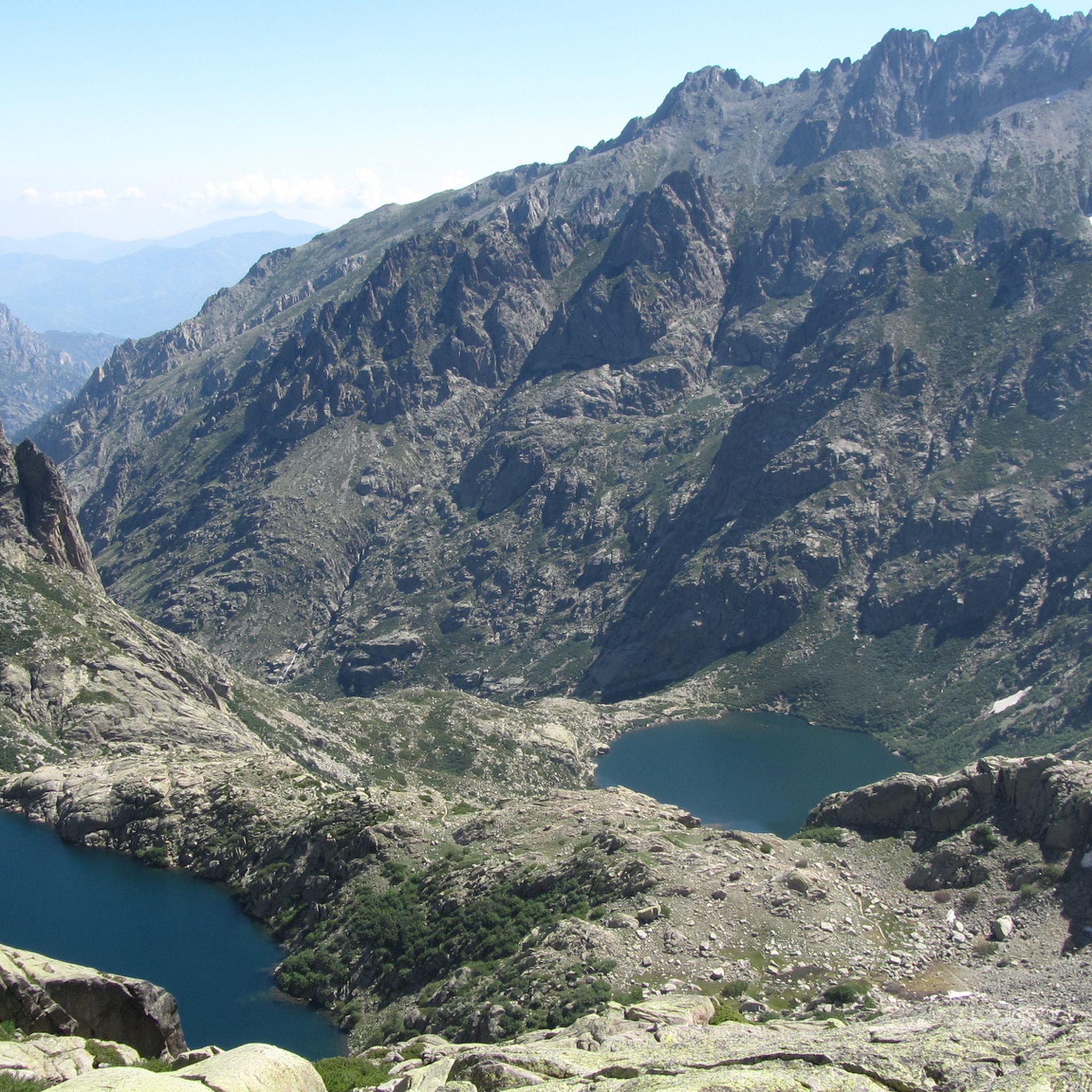
Hiking around Réserve naturelle du Massif du Monte Ritondu
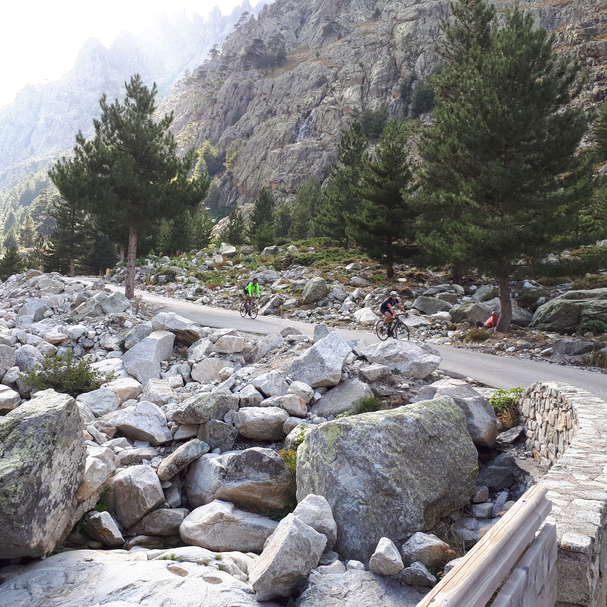
Road Cycling Routes around Réserve naturelle du Massif du Monte Ritondu
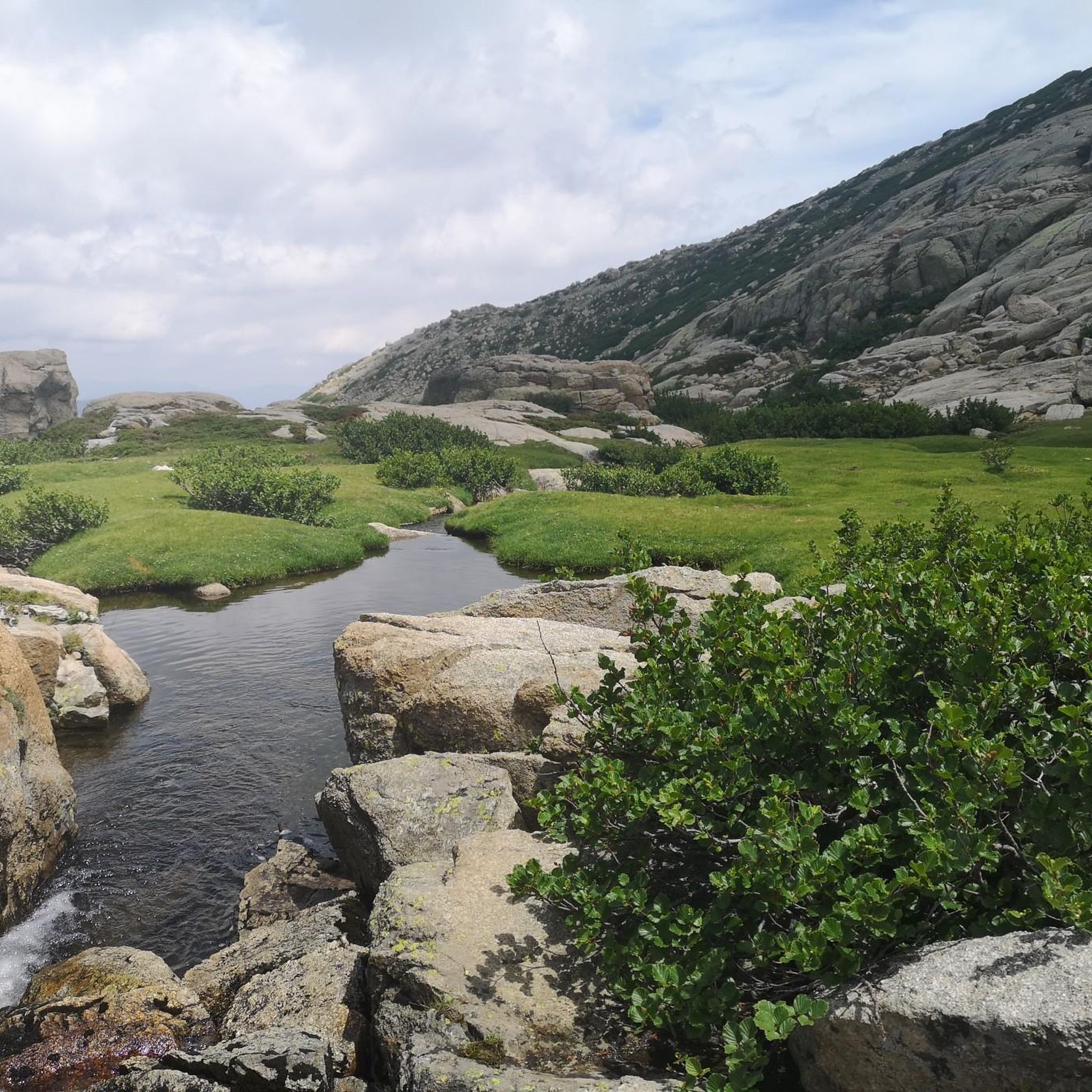
MTB Trails around Réserve naturelle du Massif du Monte Ritondu

Mountain Hikes around Réserve naturelle du Massif du Monte Ritondu
Running Trails around Réserve naturelle du Massif du Monte Ritondu
Tips from the Community


You can get here by bike or by shuttle bus.
0
0

The rather narrow road offers great views of the valley, has good asphalt and little traffic.
0
0


The Vecchio rises on the Monte d'Oro and is initially called Agnone. This river is best known for its Cascades des Anglais, which attract hundreds of tourists every day in high season. From the hamlet of Vizzavona onwards, the river is called Vecchio and you only meet very few people. Shortly after entering Canaglia, it joins the Manganello. Here the Vecchio valley becomes very lonely. On the right-hand side, far above the riverbed, the railway line winds its way along the hills, barely visible. You don't notice the busy T20, which lies behind the hills. You only see it when you get off at the Ponte Vecchio. High above us, it crosses the Vecchio valley on the new bridge. Later, the Vecchio flows into the Tavignano, which reaches the sea near Aléria.
1
0
The Vecchio rises on the Monte d'Oro and is initially called Agnone. This river is best known for its Cascades des Anglais, which attract hundreds of tourists every day in high season. From the hamlet of Vizzavona onwards, the river is called Vecchio and you only meet very few people. Shortly after entering Canaglia, it joins the Manganello. Here the Vecchio valley becomes very lonely. On the right-hand side, far above the riverbed, the railway line winds its way along the hills, barely visible. You don't notice the busy T20, which lies behind the hills. You only see it when you get off at the Ponte Vecchio. High above us, it crosses the Vecchio valley on the new bridge. Later, the Vecchio flows into the Tavignano, which reaches the sea near Aléria.
1
0

At the end of the road, up the Restonica Valley, the path also ends
0
0
Frequently Asked Questions
How many touring cycling routes are available in the Réserve naturelle du Massif du Monte Ritondu area?
There are over 50 touring cycling routes available around the Réserve naturelle du Massif du Monte Ritondu. These routes offer a diverse range of experiences, from moderate paths to challenging ascents through rugged mountainous terrain and deep valleys.
What kind of terrain can I expect on touring cycling routes around Monte Ritondu, and are there options for different skill levels?
The terrain around Monte Ritondu is characterized by rugged mountains, deep valleys, and gorges, with landscapes sculpted by glacial activity. You'll find an alpine environment with steep slopes and diverse vegetation, including pine forests at lower elevations. The routes cater to various skill levels, with 5 easy, 12 moderate, and 38 difficult trails available, ensuring options for both casual riders and experienced cyclists seeking a challenge.
What natural landmarks or viewpoints can I discover while cycling in the region?
While cycling in the region, you can encounter several stunning natural landmarks. The massif is home to many high-altitude lakes, such as Lake Melo, Lake Capitello, and Lake of Oriente. You might also catch glimpses of significant peaks like the Monte Rotondo Summit or traverse mountain passes like Brèche de Capitello, offering panoramic views.
Are there any particularly challenging touring cycling routes for experienced riders?
Yes, for experienced riders seeking a significant challenge, the region offers routes like the Défilé de l'Inzecca – Strette Gorge loop from Vivario. This difficult route spans over 107 km with substantial elevation gain, providing a demanding yet rewarding experience through dramatic landscapes.
What do other touring cyclists enjoy the most about touring cycling in Réserve naturelle du Massif du Monte Ritondu?
The area is highly rated by the komoot community, with an average score of 4.6 stars from over 190 reviews. Touring cyclists often praise the challenging ascents, the stunning natural beauty of the glaciated landscapes, and the immersive experience of cycling through Corsica's unique natural and cultural heritage.
Are there any circular touring cycling routes available?
Yes, many routes in the area are designed as loops, allowing you to start and end in the same location. An example is the Restonica Gorges – Pont de Tragone - collapsed loop from Tuani, which offers a moderate ride through the scenic Restonica Gorges.
What is the best time of year for touring cycling in the Monte Ritondu region?
The best time for touring cycling in the Monte Ritondu region is generally from spring to autumn. During these seasons, the weather is more favorable, and the high-altitude lakes and unique 'pozzine' wetlands are particularly inviting. Winter can bring snow and avalanche risks, limiting access to higher elevations.
Are there any family-friendly cycling options near Corte or Venaco?
While many routes in the immediate massif are challenging, the surrounding areas near towns like Corte and Venaco offer more accessible options. Look for routes with 'moderate' difficulty ratings, which may include less strenuous sections suitable for families. Always check the route details for elevation gain and distance to ensure it matches your family's capabilities.
Is it possible to find cafes or accommodation along the cycling routes?
The towns of Corte and Venaco, which are often starting points or pass-throughs for cycling routes, offer various amenities including cafes, pubs, and accommodation. While the core protected areas of the reserve are wild, you'll find services in the villages and towns surrounding the massif to refuel and rest.
Are there any specific regulations or permits required for cycling within the Réserve naturelle du Massif du Monte Ritondu?
While the core protected areas of the reserve may have specific regulations, the extensive cycling network of 117 km, including 84 km through natural landscapes, is generally accessible. It's always advisable to check local signage and official park information for any specific restrictions or permit requirements, especially if venturing off marked trails or into sensitive ecological zones. You can find more detailed information on the reserve's management plan here.
Can I bring my dog on touring cycling routes in the Monte Ritondu area?
The Réserve naturelle du Massif du Monte Ritondu is a natural protected area. While many outdoor activities are popular, specific regulations regarding dogs can vary. It's best to check with local authorities or park management for current rules on bringing dogs, especially in sensitive wildlife areas or on specific trails, to ensure compliance and protect the local fauna.
Where can I park my car if I want to start a cycling tour?
Parking is typically available in the towns and villages surrounding the Réserve naturelle du Massif du Monte Ritondu, such as Corte, Venaco, or Tuani, which serve as common starting points for many routes. For example, routes like the Memorial to Pasquale de Paoli – Corte loop from Tuani often begin from accessible locations with parking facilities.
Most popular routes around Réserve naturelle du Massif du Monte Ritondu
Most popular attractions around Réserve naturelle du Massif du Monte Ritondu

Get inspired with the komoot mobile app


Explore more
Browse the best Cycling routes in other regions.
