The best walks and hikes around Villabona-Amasa
4.5
(708)
4,888
hikers
210
hikes
Hiking around Villabona-Amasa offers a diverse landscape characterized by rolling hills, forested slopes, and prominent summits. The region, part of Gipuzkoa, features a mix of natural terrain and cultural landmarks like ancient dolmens. Trails often ascend to viewpoints, providing expansive vistas of the surrounding countryside.
Best hiking trails around Villabona-Amasa
- The most popular hiking route is Belkoain mendia loop from Aduna, a 4.3 miles (6.9 km) trail that takes 2 hours 16 minutes to complete. This moderate route features…
Last updated: October 12, 2026
4.9
(7)
40
hikers
10.5km
03:31
320m
320m
Moderate hike. Good fitness required. Mostly accessible paths. Sure-footedness required.
5.0
(1)
13
hikers
7.33km
02:22
320m
320m
Moderate hike. Good fitness required. Easily-accessible paths. Suitable for all skill levels.

4.0
(1)
20
hikers
16.3km
05:03
510m
510m
Hard hike. Very good fitness required. Mostly accessible paths. Sure-footedness required.
4.0
(2)
7
hikers
17.7km
06:18
830m
830m
Hard hike. Very good fitness required. Mostly accessible paths. Sure-footedness required.
16
hikers
7.82km
02:37
260m
260m
Moderate hike. Good fitness required. Mostly accessible paths. Sure-footedness required.
Get access to more routes and recommendations from other explorers.
Already have an account?
Our route recommendations are based on thousands of hikes, rides, and runs completed by other people on komoot.
Start today with a free account
Your next adventure awaits.
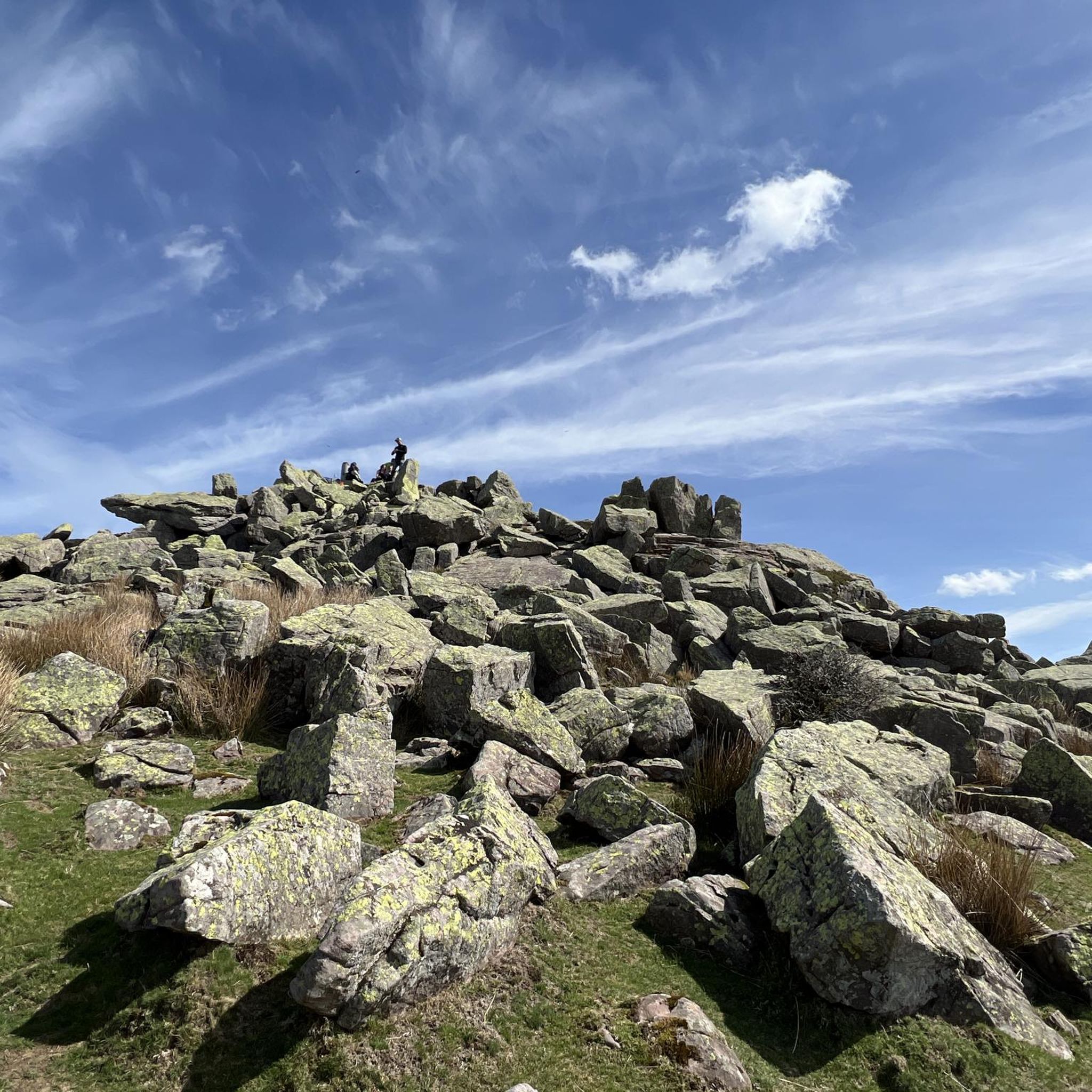
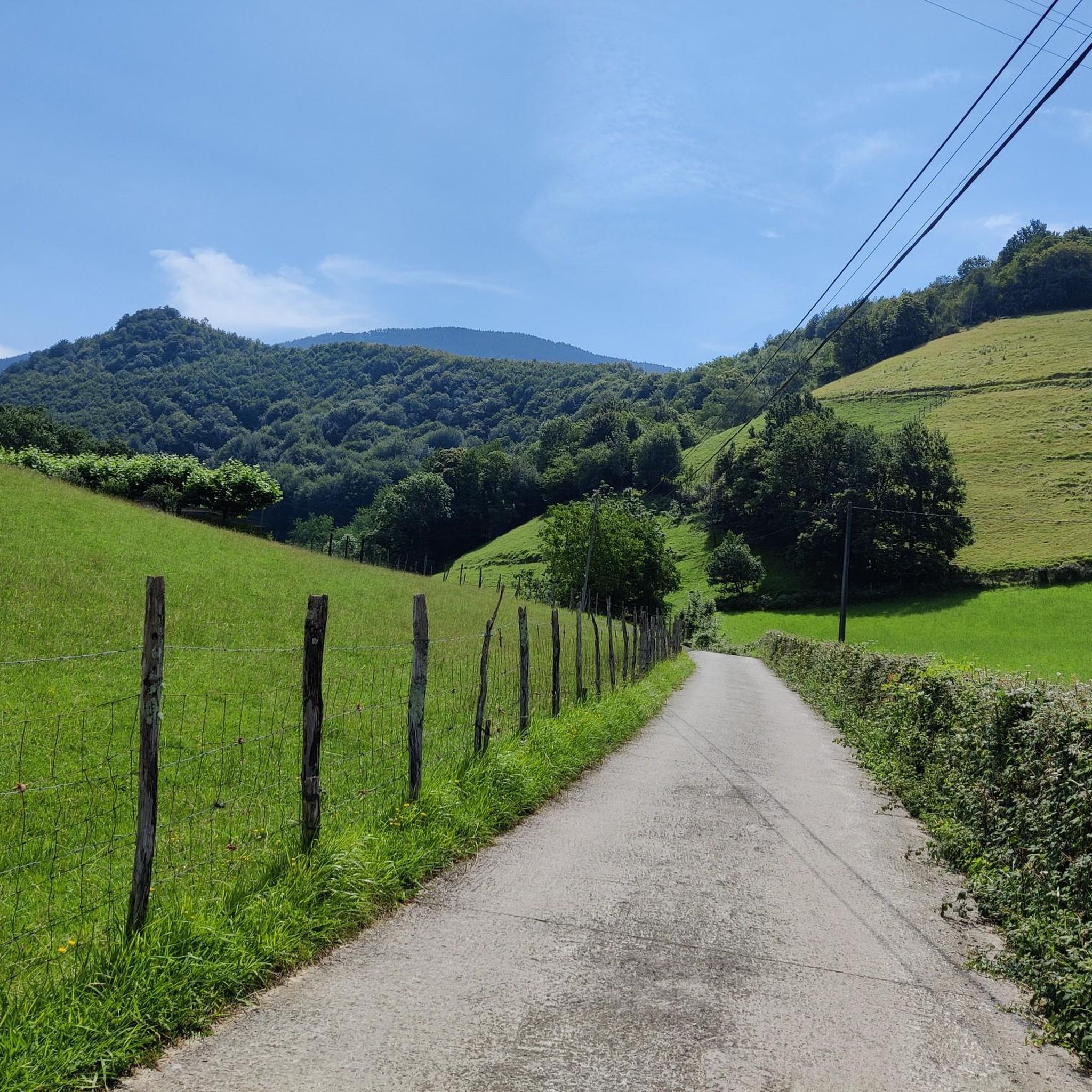
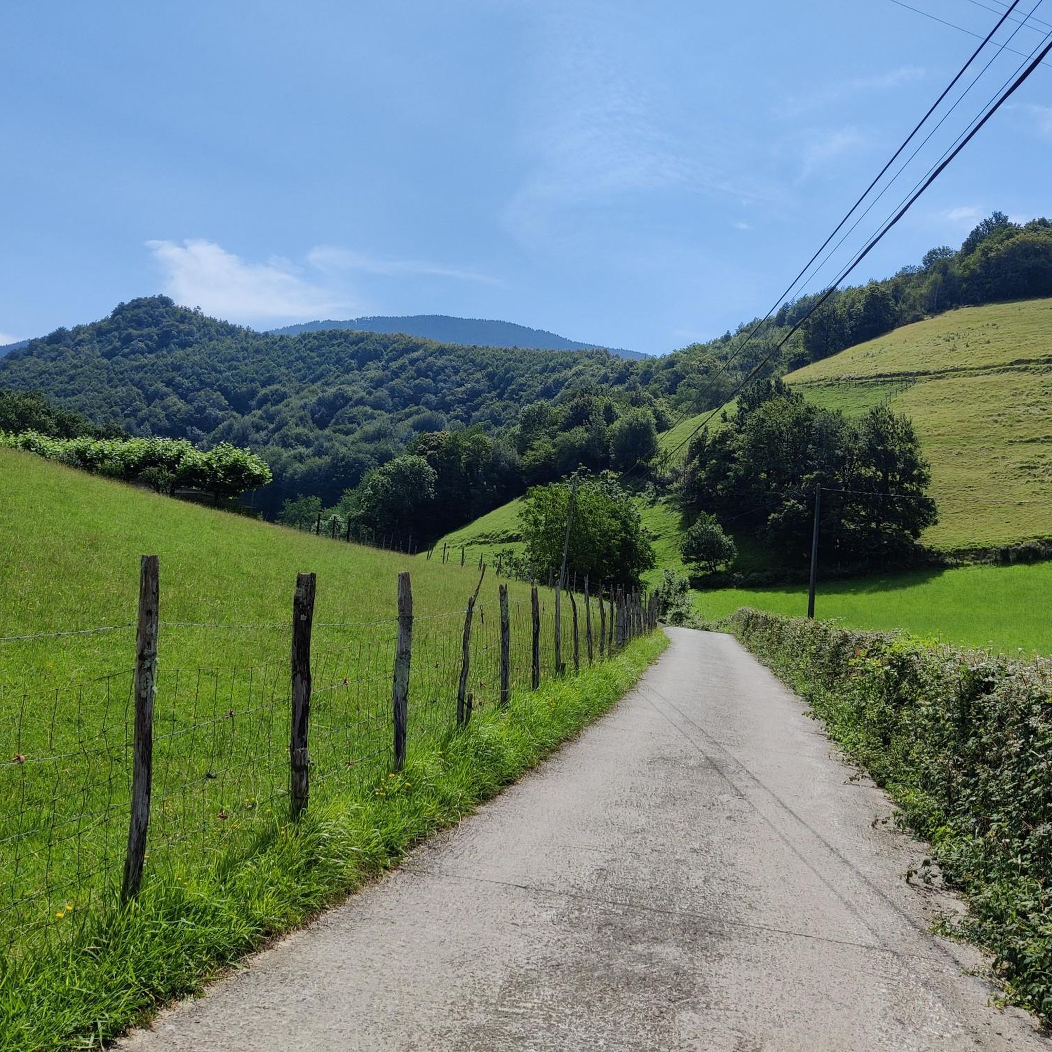
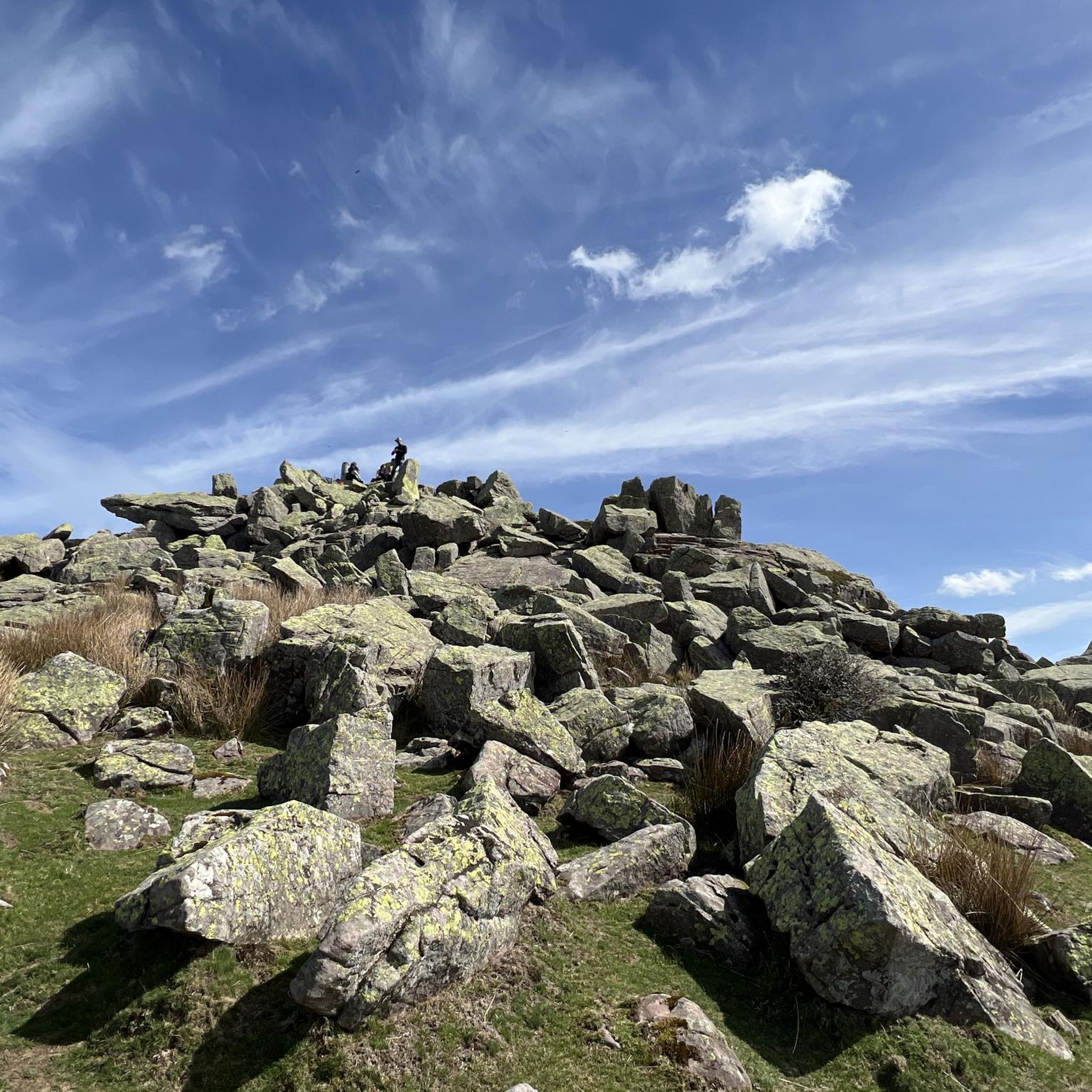

Tips from the Community

EASY ROUTE BUT DIFFICULT LAST SECTION REQUIRES SKILLS FOR ROCK CLIMBING
0
0

Very close to Belabieta. A pleasure to walk around this area.
3
0
Scene of a famous battle, in the middle of a large field and surrounded by a herd of horses.
4
0
It is a modest peak, but it is difficult to reach from the Izaskun neighbourhood. You have to be a little careful not to slip in the last few metres of the north face.
4
0
One of the most visited places by the inhabitants of Tolosa and its surroundings.
4
0
Easy and beautiful tour close to the city
0
0
Restaurant in the Goiburu neighborhood, the starting point of the circular route to Oindolar and Lastiturri.
2
0
I did not get to the exact point where the mountain is located, because it was an impenetrable undergrowth. I don't think it's worth it.
2
0
Frequently Asked Questions
How many hiking trails are available around Villabona-Amasa?
Villabona-Amasa offers a wide variety of hiking experiences, with nearly 200 routes available. These range from easy strolls to challenging mountain ascents, catering to all fitness levels.
Are there any easy hiking trails suitable for beginners in Villabona-Amasa?
Yes, the region features over 30 easy hiking trails. These routes are generally shorter and have less elevation gain, making them perfect for beginners or those looking for a relaxed walk. For example, the Zalberro – Basagain loop from Villabona-Zizurkil is a moderate option that is not too strenuous.
What kind of terrain can I expect on hikes in Villabona-Amasa?
Hiking around Villabona-Amasa is characterized by a mix of forested hills, open countryside, and prominent mountain summits. Many trails involve steady ascents to viewpoints, offering expansive vistas of the surrounding Gipuzkoan landscape.
Are there any circular hiking routes in Villabona-Amasa?
Yes, many of the trails in Villabona-Amasa are circular, allowing you to start and end at the same point. A popular moderate option is the Belkoain mendia loop from Aduna, which takes you to a prominent hill with panoramic views.
What are some challenging hikes in the Villabona-Amasa area?
For experienced hikers seeking a challenge, there are over 40 difficult routes. These often involve significant elevation gain and longer distances. An example is the Cruz de Uzturre – Uzturre Summit (733 m) loop from Villabona, which leads through forested slopes to a significant summit.
What can I see along the hiking trails in Villabona-Amasa?
The trails often lead to interesting natural and historical sites. You might encounter ancient megalithic structures like dolmens, or reach summits offering incredible views, such as Uzturre Summit (733 m). The region also features natural highlights like the Leitzaran River Valley.
Are there any historical sites or landmarks to explore while hiking?
Absolutely. The area is rich in history, with trails that pass by ancient structures. The Dolmens – Oindolar loop from Villabona-Zizurkil, for instance, specifically explores ancient megalithic structures. You can also find highlights like the Eteneta Stone Circle and Dolmen Akolako Lepua I.
What do other hikers enjoy most about the trails in Villabona-Amasa?
The hiking trails in Villabona-Amasa are highly rated by the komoot community, with an average score of 4.6 stars from over 570 reviews. Hikers often praise the diverse landscapes, the well-maintained paths, and the rewarding panoramic views from the summits.
Is Villabona-Amasa suitable for winter hiking?
While the region generally experiences mild winters, higher elevations can see snow. It's advisable to check local weather forecasts and trail conditions before heading out in winter. Some lower-lying or forested routes may remain accessible, but proper winter hiking gear is essential for higher trails.
What should I consider regarding hiking gear for Villabona-Amasa trails?
Given the varied terrain, sturdy hiking boots with good ankle support are recommended. Layers of clothing are advisable due to changing weather conditions, especially when ascending to higher points. Always carry enough water, snacks, and a map or GPS device, as some trails can be remote.
Are there any less crowded hiking trails in Villabona-Amasa?
While popular routes can see more visitors, the extensive network of nearly 200 trails means it's often possible to find quieter paths, especially on weekdays or by exploring some of the less-known moderate or difficult routes. Exploring trails that don't lead directly to a major summit can also offer a more secluded experience.
Most popular routes around Villabona-Amasa
Most popular attractions around Villabona-Amasa

Get inspired with the komoot mobile app


Explore more
Browse the best Hikes in other regions.
