The best walks and hikes around Pórtugos
4.6
(2035)
9,249
hikers
202
hikes
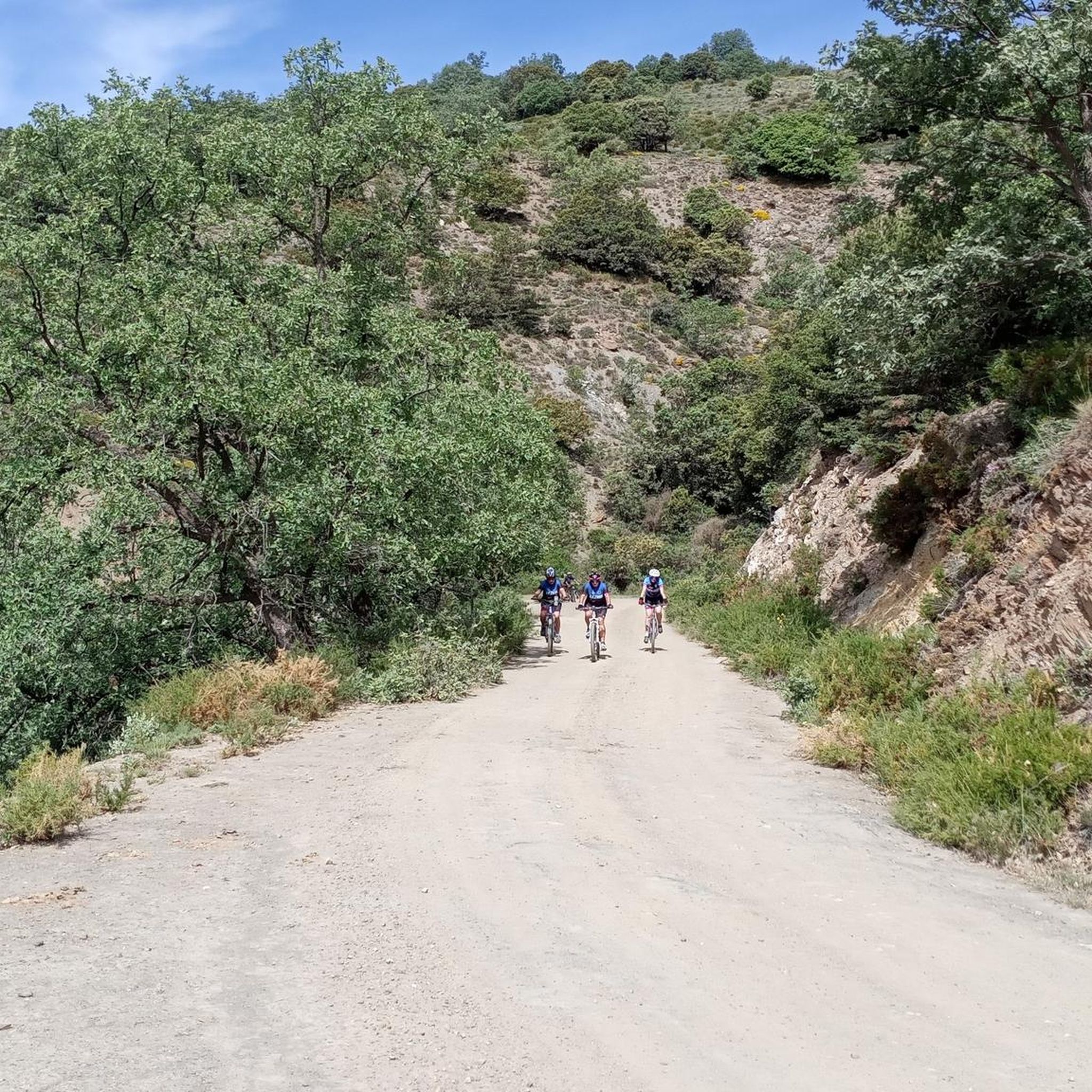
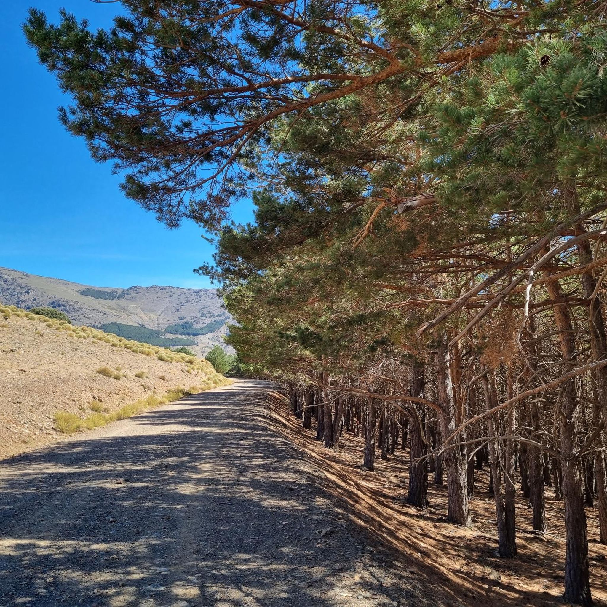
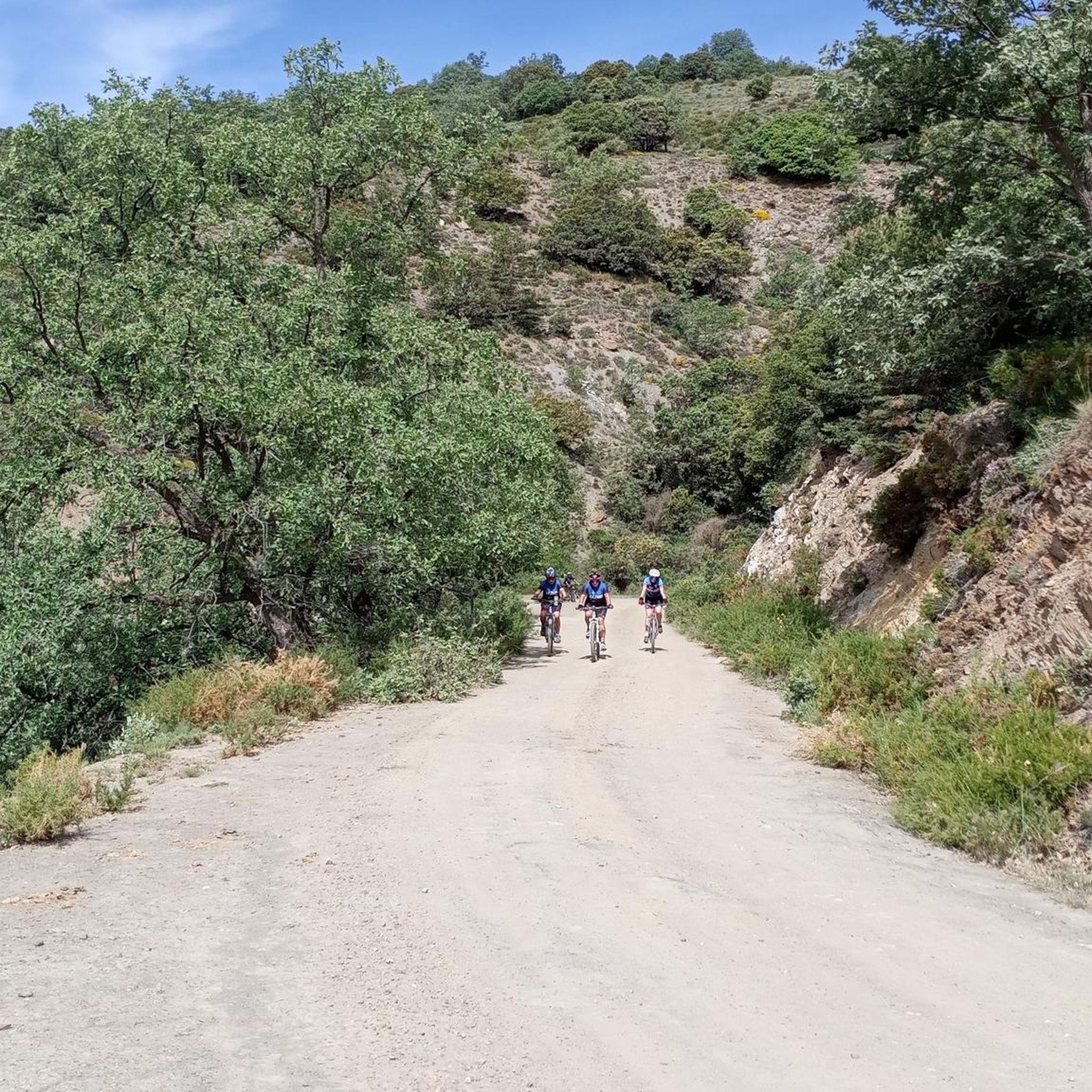
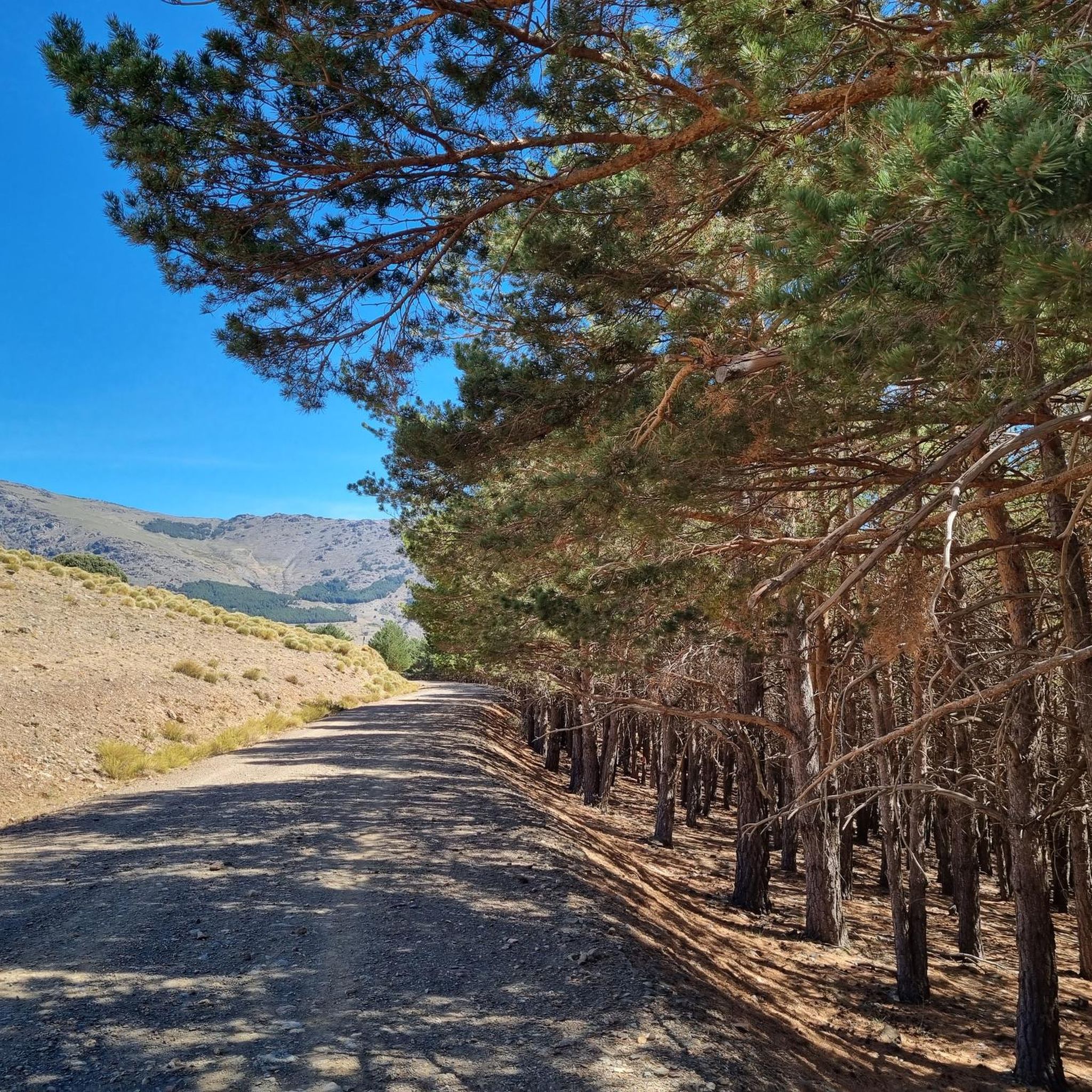
Hiking around Pórtugos offers access to the diverse landscapes of the Sierra Nevada Natural Park, situated at 1303 meters above sea level. The region is characterized by mountain scenery, pine forests, ravines, and terraced slopes. Hikers can explore a well-established network of trails that traverse varied terrain, including the iron-rich Fuente de Agria and traditional Alpujarran villages.
Best hiking trails around Pórtugos
- The most popular hiking route is Hoya del Portillo and Loma del Cascajar Negro Loop, a 4.0…
Last updated: October 10, 2026
4.5
(2)
7
hikers
6.53km
02:21
250m
250m
Hike the 4.1-mile Hoya del Portillo and Loma del Cascajar Negro Loop in Sierra Nevada, offering moderate difficulty and panoramic mountain v
4.5
(2)
24
hikers
17.6km
07:10
1,030m
1,030m
Hike the difficult 10.9-mile (17.6 km) circular route to Pico Mulhacén via the Siete Lagunas in Sierra Nevada National Park.

4.6
(8)
34
hikers
Moderate hike. Good fitness required. Easily-accessible paths. Suitable for all skill levels.
4.4
(10)
40
hikers
5.01km
01:40
240m
240m
Hike the moderate La Tahá Circular Trail, a 3.1-mile route through ancient whitewashed villages and scenic landscapes in the Sierra Nevada N
3.8
(10)
25
hikers
8.91km
03:18
570m
570m
Hike the moderate Pitres - Acequia Gorda - Pórtugos Trail, covering 5.5 miles (8.9 km) with 1878 feet of gain, past acequias and waterfalls.
Get access to more routes and recommendations from other explorers.
Already have an account?
Our route recommendations are based on thousands of hikes, rides, and runs completed by other people on komoot.
Start today with a free account
Your next adventure awaits.

Tips from the Community

The small mountain village has a small, nice village square with a fountain and seating under the large tree.
0
1

Beautiful route...good fitness and the summit is doable.
0
0

Visiting this peak is an obvious bonus when hiking all the way to the main peak of Mulhacen.
1
0

You can also get here by public bus from Capileira. Then hike to the summit and descend to Capileira on foot or take the bus back.
0
1

Ferreirola, located in the Alpujarra Granadina, is a charming Spanish town that is part of the municipality of La Taha. The origins of Ferreirola date back to Roman times, and its importance during the Arab occupation is supported by numerous archaeological remains. The name “Ferreirola” means “small iron mine” and is a diminutive of “Ferreira”. Historically, Ferreirola was the head of the municipality, with an annex called Atalbéitar located about 500 meters away.
4
1
The Tajo de Cortés Waterfall is an impressive waterfall located in the Alpujarra Granadina, near the towns of Pitres and Pórtugos in Andalusia. Two routes that will take you to this beautiful waterfall: Sendero PR-A 29 from Pórtugos or the somewhat shorter Circular Route from Pitres.
1
1
Frequently Asked Questions
How many hiking trails are available around Pórtugos?
There are nearly 200 hiking trails around Pórtugos, offering a wide range of options from easy strolls to challenging mountain ascents within the Sierra Nevada Natural Park.
Are there any notable natural features or waterfalls to see on hikes near Pórtugos?
Yes, a significant natural attraction is the Fuente de Agria, an iron-rich mineral spring that creates a beautiful orange waterfall and colors the riverbed due to its high iron concentration. It's located near the Ermita de la Virgen de las Angustias chapel. Another spot is the Merendero de la Junta de los Ríos, a picnic area next to a waterfall in the 'Tajo Cortes', surrounded by pine forests.
What do other hikers enjoy most about hiking in Pórtugos?
The hiking routes in Pórtugos are highly rated by the komoot community, with an average score of 4.6 stars from over 1600 reviews. Hikers often praise the diverse landscapes, from breathtaking mountain scenery and pine forests to the unique terraced slopes and traditional Alpujarran villages.
Are there any family-friendly hiking options in Pórtugos?
Yes, Pórtugos offers several easier trails suitable for families. For example, the La Tahá Circular Trail is a shorter, moderate option at 5.01 km, perfect for a relaxed hike through ancient whitewashed villages and scenic landscapes.
Are there any circular hiking routes available in Pórtugos?
Yes, many routes in the area are circular. A popular choice is the Hoya del Portillo and Loma del Cascajar Negro Loop, a 6.5 km trail offering panoramic mountain vistas. Another is the Medieval Path of La Alpujarra (PR-A 299), a 7.1 km route connecting Pórtugos with neighboring villages.
What kind of terrain can I expect on hikes around Pórtugos?
The terrain around Pórtugos is varied, characterized by the rugged mountain nature of the Alpujarra region. You'll encounter mountain scenery, pine forests, ravines, and terraced slopes. Trails range from well-maintained paths to more challenging, rocky sections, especially on higher-altitude routes.
Can I hike to Mulhacén, the highest peak, from Pórtugos?
Yes, for experienced hikers, the Mulhacén Ascent Trail is a challenging 17.6 km circular route that leads to Mulhacén, the highest peak in the Iberian Peninsula (3479 meters), offering impressive views of the Sierra Nevada.
Are there any trails that pass through traditional villages or offer cultural insights?
Absolutely. The Medieval Path of La Alpujarra (PR-A 299) is a great example, winding through agricultural fields and connecting Pórtugos with neighboring villages like Busquístar, Atalbéitar, and Ferreirola. These villages feature traditional Berber-style architecture with flat-roofed houses and narrow, twisting streets.
What are some interesting landmarks or points of interest near the hiking trails?
Beyond the natural features, you can find several interesting points. The Mulhacén Summit offers incredible views. For those interested in high-altitude shelters, the Carihuela Bivouac Shelter and Vivac de la Caldera Shelter are notable. You might also encounter the Hondera Lagoon.
What is the best time of year to go hiking in Pórtugos?
Pórtugos, situated at 1303 meters above sea level, offers pleasant hiking conditions for much of the year. Spring and autumn are generally ideal, with mild temperatures and vibrant landscapes. Summers can be warm, especially at lower altitudes, while winter offers opportunities for snow hiking in higher parts of the Sierra Nevada.
Are there any trails that feature acequias (irrigation channels)?
Yes, the region is known for its historical irrigation channels. The Pitres - Acequia Gorda - Pórtugos Trail is an 8.9 km route that specifically passes by acequias and waterfalls, showcasing this traditional aspect of the Alpujarran landscape.
Is it possible to reach hiking trailheads in Pórtugos using public transport?
While specific public transport routes directly to all trailheads might be limited, Pórtugos itself is accessible by bus, connecting it to larger towns in the Alpujarra region. From the village, many trails are within walking distance or a short local transfer. It's advisable to check local bus schedules for the most up-to-date information.
Most popular attractions around Pórtugos

Get inspired with the komoot mobile app


Explore more
Browse the best Hikes in other regions.
