The best MTB trails around Réserve naturelle de Chastreix-Sancy
4.4
(710)
3,932
riders
149
rides
Mountain bike trails around Réserve naturelle de Chastreix-Sancy traverse a diverse landscape shaped by volcanic activity and glacial erosion. The region features prominent peaks, deep valleys, and extensive forests, offering varied terrain for mountain biking. Riders can expect a mix of technical sections and flowing paths across different elevations, from lower valleys to higher mountain slopes. The area is known for its well-developed network of mountain bike trails, catering to various skill levels.
Best mountain bike trails around Réserve naturelle…
Last updated: June 29, 2026
3.5
(2)
21
riders
17.2km
01:37
430m
440m
Moderate mountain bike ride. Good fitness required. Suitable for all skill levels.
4.7
(80)
404
riders
Moderate mountain bike ride. Good fitness required. Advanced riding skills necessary.

Sign up for free
4.4
(19)
141
riders
57.7km
05:36
1,520m
1,530m
Tackle the difficult Circuit Sancy Ouest mountain bike loop from Mont-Dore, a 35.9-mile ride through the stunning Volcans d'Auvergne.
4.4
(16)
87
riders
56.9km
05:07
1,370m
1,370m
Hard mountain bike ride. Very good fitness required. Advanced riding skills necessary.
5.0
(1)
100
riders
76.7km
07:17
1,980m
1,980m
Hard mountain bike ride. Very good fitness required. Advanced riding skills necessary.
Get access to more routes and recommendations from other explorers.
Sign up for free
Already have an account?
Our route recommendations are based on thousands of hikes, rides, and runs completed by other people on komoot.
Start today with a free account
Your next adventure awaits.
Login or Signup
Popular around Réserve naturelle de Chastreix-Sancy
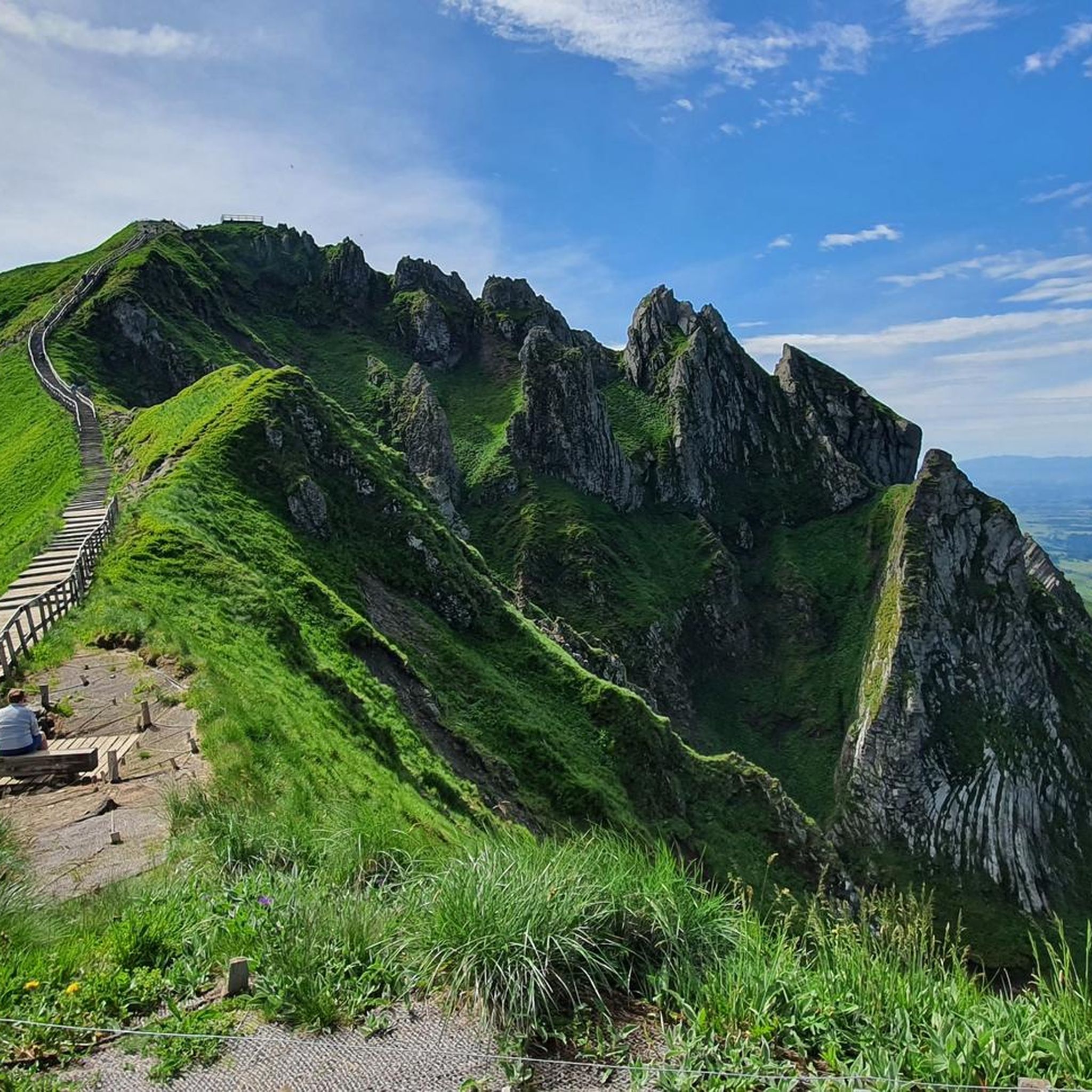
Road Cycling Routes around Réserve naturelle de Chastreix-Sancy
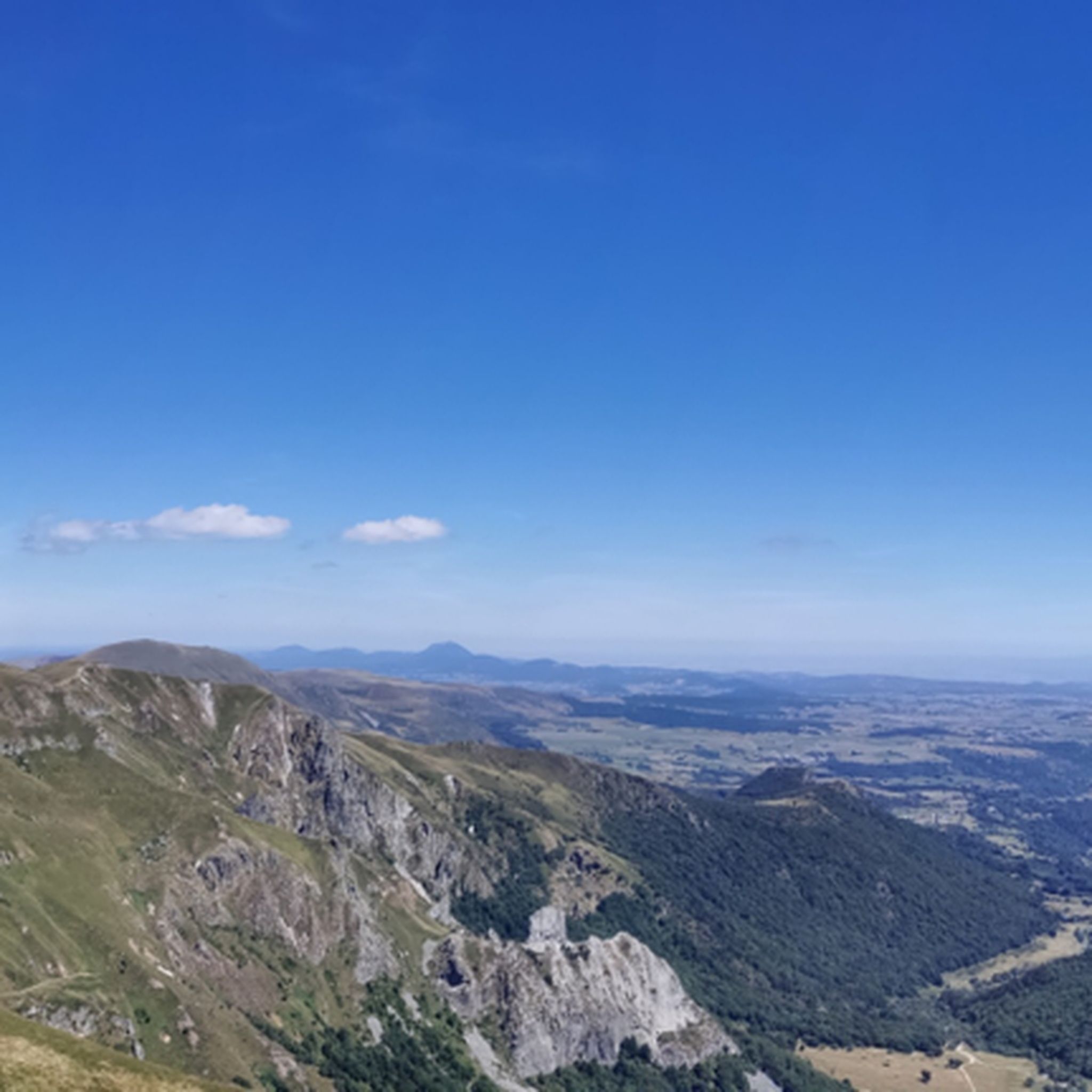
Hiking around Réserve naturelle de Chastreix-Sancy
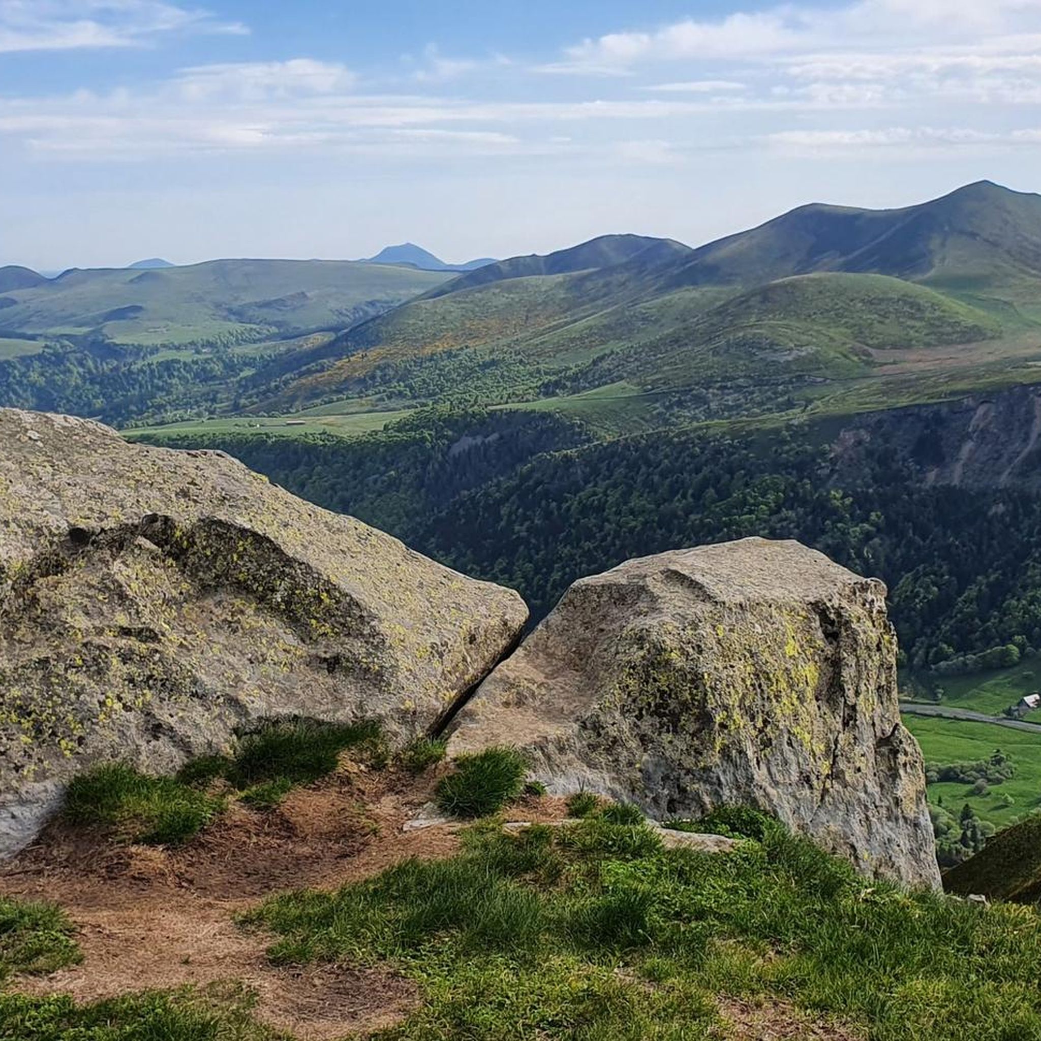
Running Trails around Réserve naturelle de Chastreix-Sancy
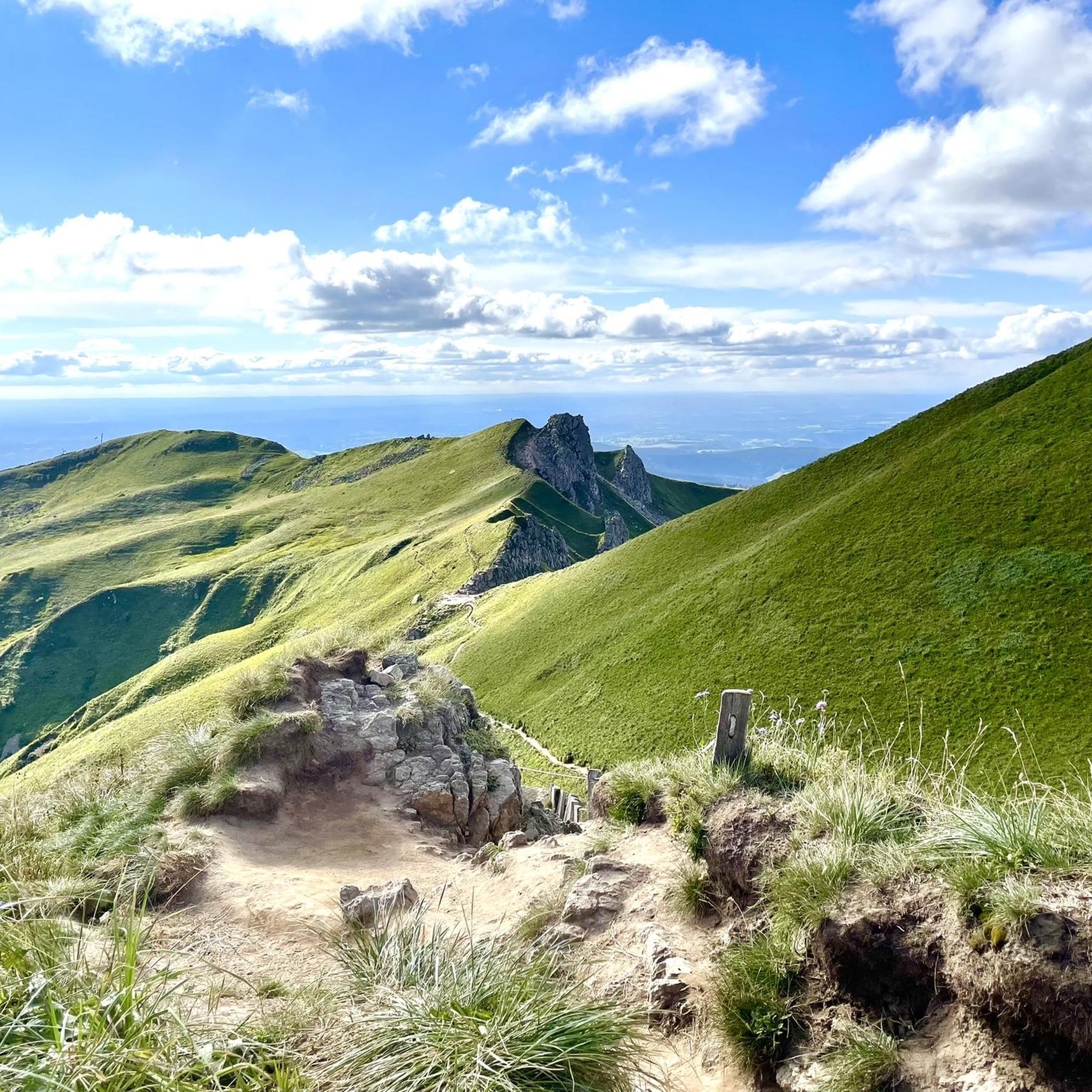
Cycling around Réserve naturelle de Chastreix-Sancy

Mountain Hikes around Réserve naturelle de Chastreix-Sancy

Gravel biking around Réserve naturelle de Chastreix-Sancy
Tips from the Community

A beautiful little town in the Auvergne region. A must-see in both summer and winter.
0
0

Heated picnic room with microwave Cross-country ski rental Restaurant opening in February 2025
0
0

Surrounded by dense forests and steep cliffs, Lake Pavin is distinguished by its deep blue waters that reflect the surrounding vegetation. This enchanting setting, accessible by a trail, combines perfectly with breathtaking views of the lake and the surrounding mountains.
1
0

Site for outdoor activities (cross-country skiing, snowshoeing, hiking, mountain biking), halfway between the Tour d'Auvergne and the towns of Mont-Dore and La Bourboule.
1
0

Because it allows you to observe the surroundings at 360
0
0

Magnificent tour with superb view of the Bourboule from the Banne d’Ordanche
0
0

Super technical course on several sections
0
0

Frequently Asked Questions
How many mountain bike trails are available in Réserve naturelle de Chastreix-Sancy?
The Réserve naturelle de Chastreix-Sancy area offers a vast network of nearly 150 mountain bike trails. These routes cater to various skill levels, from easy rides to challenging long-distance adventures, traversing diverse landscapes shaped by volcanic activity and glacial erosion.
What kind of terrain can I expect when mountain biking in Chastreix-Sancy?
Mountain biking in Chastreix-Sancy features a diverse terrain, including volcanic peaks, deep valleys, and extensive forests. You'll encounter a mix of technical sections and flowing paths across different elevations, from lower valleys to higher mountain slopes. The geological history, with phonolitic domes, ash flows, and basaltic dikes, contributes to the varied and engaging landscape.
Are there any family-friendly mountain bike trails in the Réserve naturelle de Chastreix-Sancy?
Yes, the region offers trails suitable for families. While specific 'easy' routes are available, many of the 100 moderate trails can be enjoyed by families with some mountain biking experience. The extensive network ensures options for different ability levels, allowing families to find suitable paths.
What natural features or points of interest can I see along the mountain bike trails?
The trails offer access to stunning natural features. You can ride past the magnificent glacial corrie of Fontaine Salée, explore alpine meadows, dense spruce and beech forests, and flower-festooned pastures. Notable viewpoints include Puy de Cliergue and Hor rock ridge, and the iconic Puy de Sancy, the highest peak in the Massif Central, offering breathtaking panoramic views.
Are there any circular mountain bike routes in the area?
Yes, many routes in the Réserve naturelle de Chastreix-Sancy are circular, allowing you to start and finish at the same point. For example, the moderate Chemin des Médecins – Le Mont-Dore loop from Chômets 2 is a popular 17.2 km option. Another excellent choice is the Charlannes Waterfall – Buron de Croizat loop from Mont-Dore, which is 33.7 km long and also moderate.
What is the best time of year to go mountain biking in Chastreix-Sancy?
The best time for mountain biking in Chastreix-Sancy is generally from spring through autumn. During these seasons, the weather is more favorable, and the trails are typically clear of snow, allowing access to the diverse ecosystems, alpine meadows, and forests. Always check local weather conditions before heading out.
What do other mountain bikers enjoy most about the trails in Réserve naturelle de Chastreix-Sancy?
The area is highly rated by the komoot community, with an average score of 4.4 stars from over 700 reviews. Mountain bikers often praise the diverse and dramatic landscapes, the well-developed network of trails catering to various skill levels, and the stunning panoramic views, especially from high points like Puy de Sancy.
Are there any challenging mountain bike trails for experienced riders?
Absolutely. For experienced riders seeking a challenge, the region offers several difficult trails. The Sancy Long Loop Trail, a demanding 57.7 km route through the Massif du Sancy, is a prime example. Another difficult option is the La Bourboule – The Dordogne at La Bourboule loop from Station de ski Chastreix-Sancy, covering 50.2 km with significant elevation changes.
Is there a mountain bike trail that explores the volcanic landscapes and lakes?
Yes, the Circuit Tour des Lacs depuis Super Besse via le circuit Puy Merle – Parc naturel régional des Volcans d'Auvergne is a moderate 38.2 km route specifically designed to explore the volcanic landscapes and beautiful lakes within the regional natural park, offering a unique riding experience.
Are there facilities like bike inflation stations available in the area?
Yes, for your convenience, a bike inflation station is available in Chastreix village. This is part of the well-developed infrastructure supporting mountain biking enthusiasts in the region.
What is the elevation range for mountain biking in Réserve naturelle de Chastreix-Sancy?
The mountain biking routes in the Réserve naturelle de Chastreix-Sancy traverse altitudes ranging from 852 meters to 1819 meters. This significant elevation range contributes to the varied terrain and offers rewarding climbs and descents with stunning views.
Most popular routes around Réserve naturelle de Chastreix-Sancy
Most popular attractions around Réserve naturelle de Chastreix-Sancy

Get inspired with the komoot mobile app


Explore more
Browse the best MTB trails in other regions.
