The best walks and hikes around Orreaga/Roncesvalles
4.5
(124)
910
hikers
35
hikes
Hiking around Orreaga/Roncesvalles offers access to the Navarrese Pyrenees, characterized by gentle mountains exceeding 1,000 meters and extensive oak and beech woodlands. The region's diverse terrain includes high-altitude pastures, airy ridges, and serene pastoral settings. It is also home to the Irati Forest, one of Europe's largest and best-preserved beech and fir tree forests. This area serves as a significant starting point for the Camino de Santiago, blending natural beauty with historical routes.
Best hiking trails around Orreaga/Roncesvalles
- The most popular hiking route is Basajaunberro Forest - circular from Orreaga/Roncesvalles, an easy 2.8 miles (4.5 km) trail that takes 1 hour 12 minutes to complete. This path winds through beech and oak trees and meadows.
- Another top favourite among local hikers is Orreaga/Roncesvalles to Fuente de Roldan along the Camino de Santiago Francés, a difficult 10.5 miles (16.8 km) path. This route follows a historic pilgrimage trail with significant elevation gain.
- Local hikers also love the Lepoeder Pass Viewpoint – Ibañeta Chapel loop from Orreaga / Roncesvalles, a 5.9 miles (9.5 km) trail leading through the Ibañeta Pass, often completed in about 3 hours 19 minutes.
- Hiking around Orreaga/Roncesvalles is defined by Pyrenean mountains, dense oak and beech woodlands, and historic pilgrimage routes. The network offers options for easy, moderate, and difficult trails catering to different ability levels.
- The routes in Orreaga/Roncesvalles are highly rated by the komoot community with an average score of 4.6 stars from more than 200 reviews. More than 1,300 hikers have used komoot to explore Orreaga/Roncesvalles's varied terrain.
Last updated: October 12, 2026
4.7
(14)
87
hikers
4.54km
01:13
50m
50m
Easy hike. Great for any fitness level. Easily-accessible paths. Suitable for all skill levels.
4.8
(10)
75
hikers
Hard hike. Very good fitness required. Mostly accessible paths. Sure-footedness required.

4.5
(11)
106
hikers
11.0km
02:57
140m
140m
Moderate hike. Good fitness required. Easily-accessible paths. Suitable for all skill levels.
4.5
(15)
70
hikers
Moderate hike. Good fitness required. Mostly accessible paths. Sure-footedness required.
4.8
(9)
37
hikers
10.8km
02:59
190m
190m
Moderate hike. Good fitness required. Easily-accessible paths. Suitable for all skill levels.
Get access to more routes and recommendations from other explorers.
Already have an account?
Our route recommendations are based on thousands of hikes, rides, and runs completed by other people on komoot.
Start today with a free account
Your next adventure awaits.
Popular around Orreaga/Roncesvalles
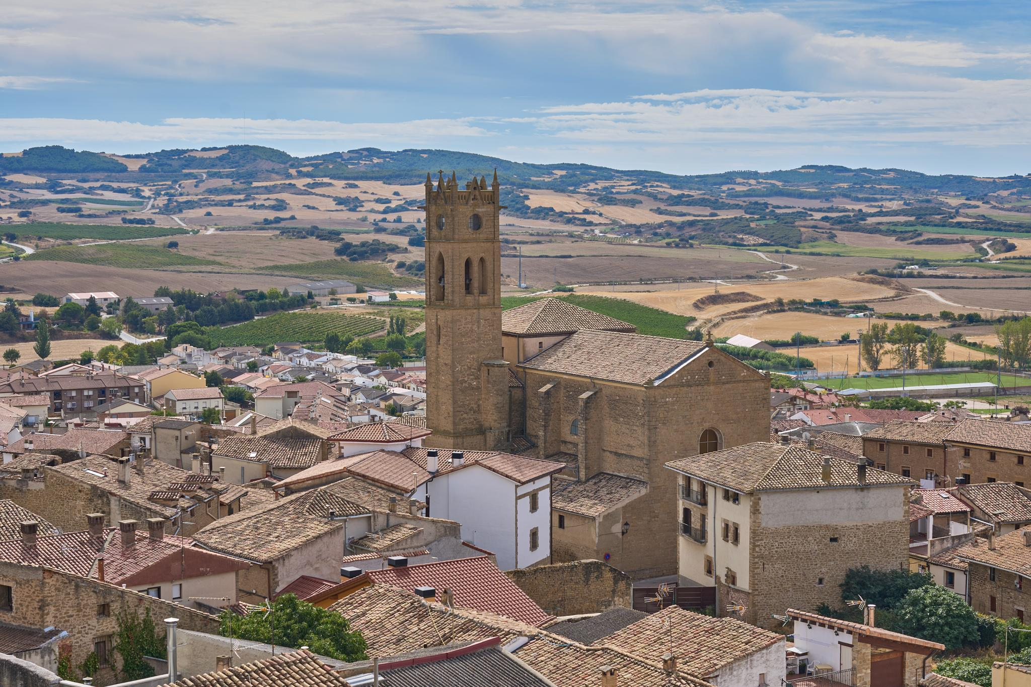
Path of the Templars — Path of the True Cross (GR 250)
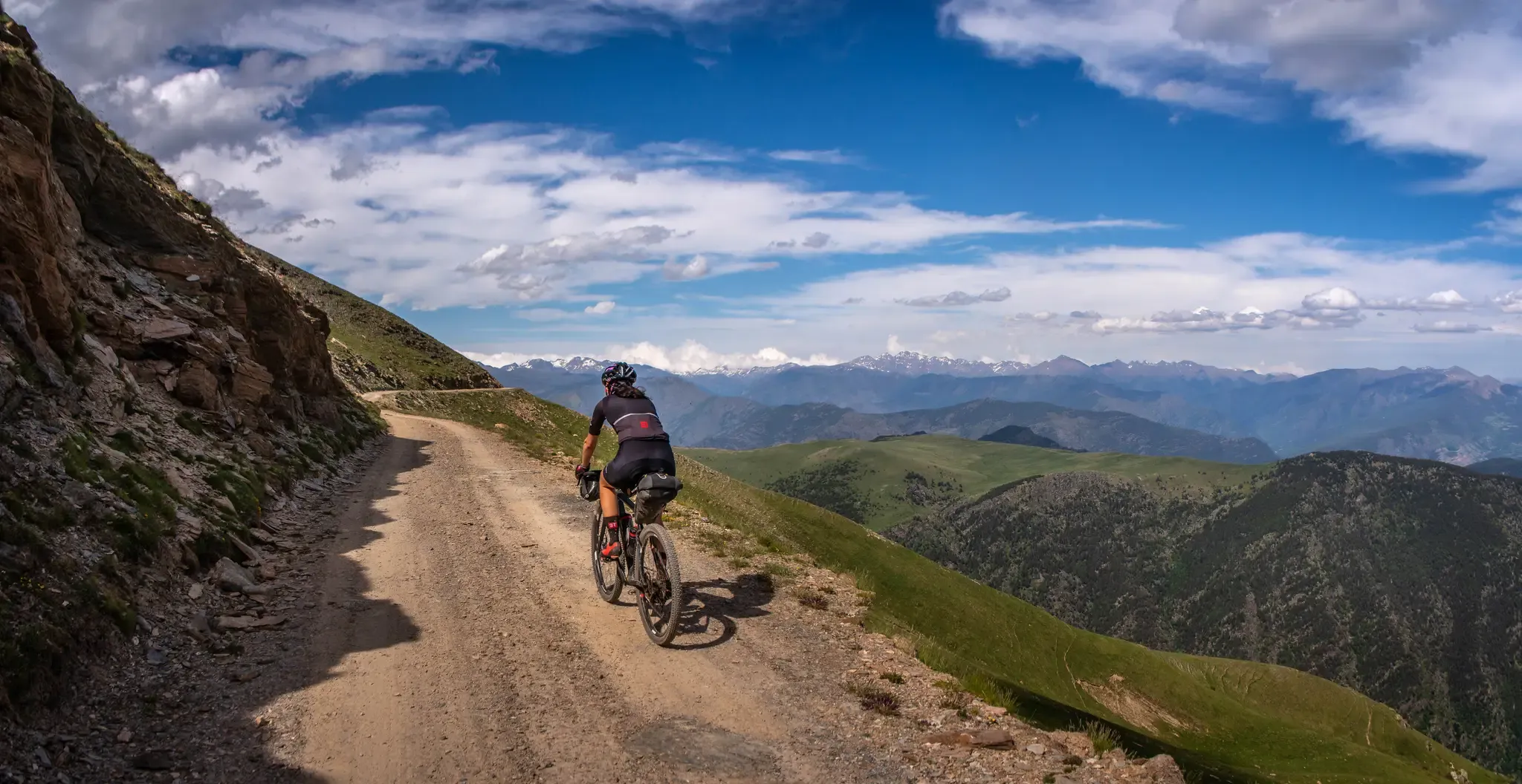
A high-altitude journey – Transpirenaica MTB
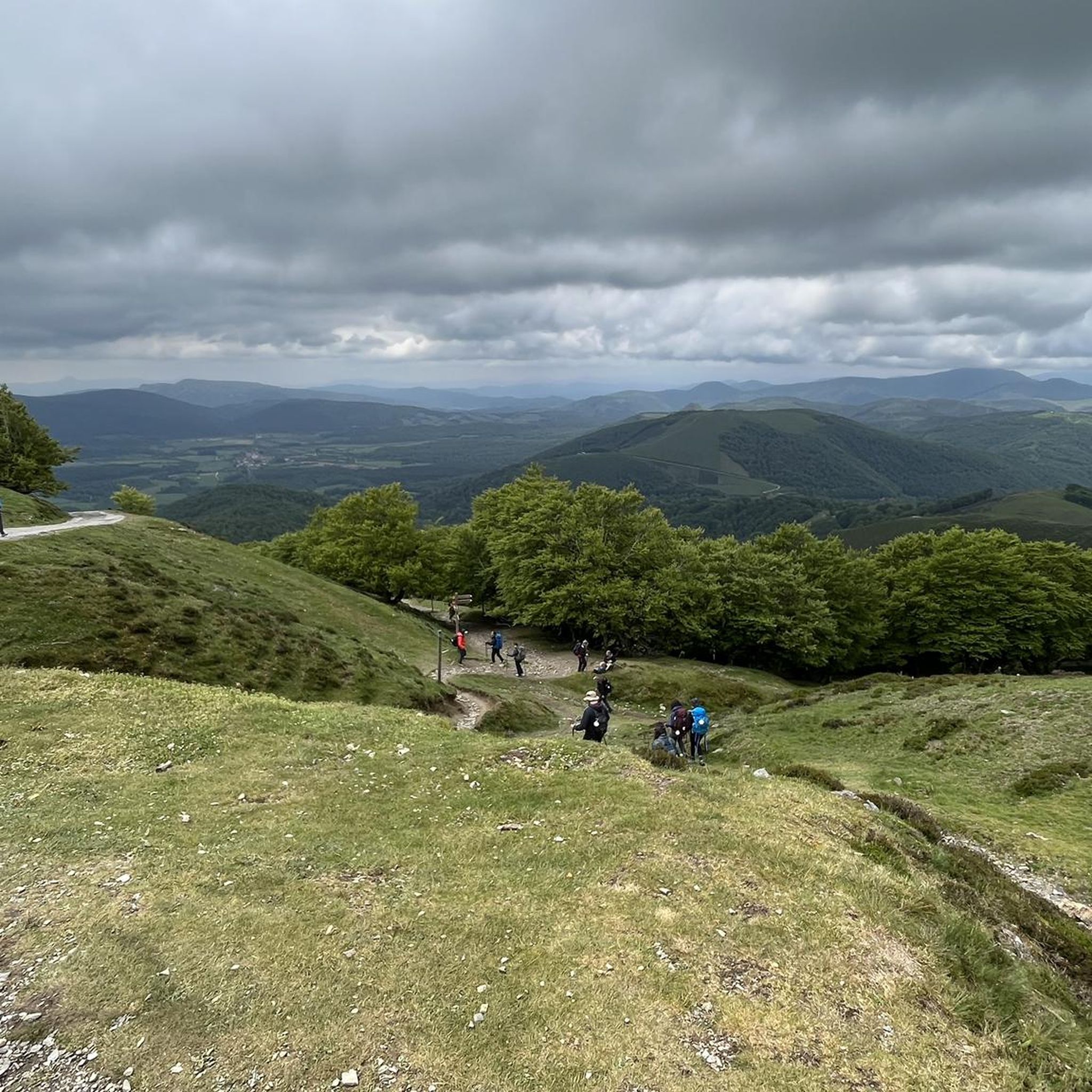
Road Cycling Routes around Orreaga/Roncesvalles
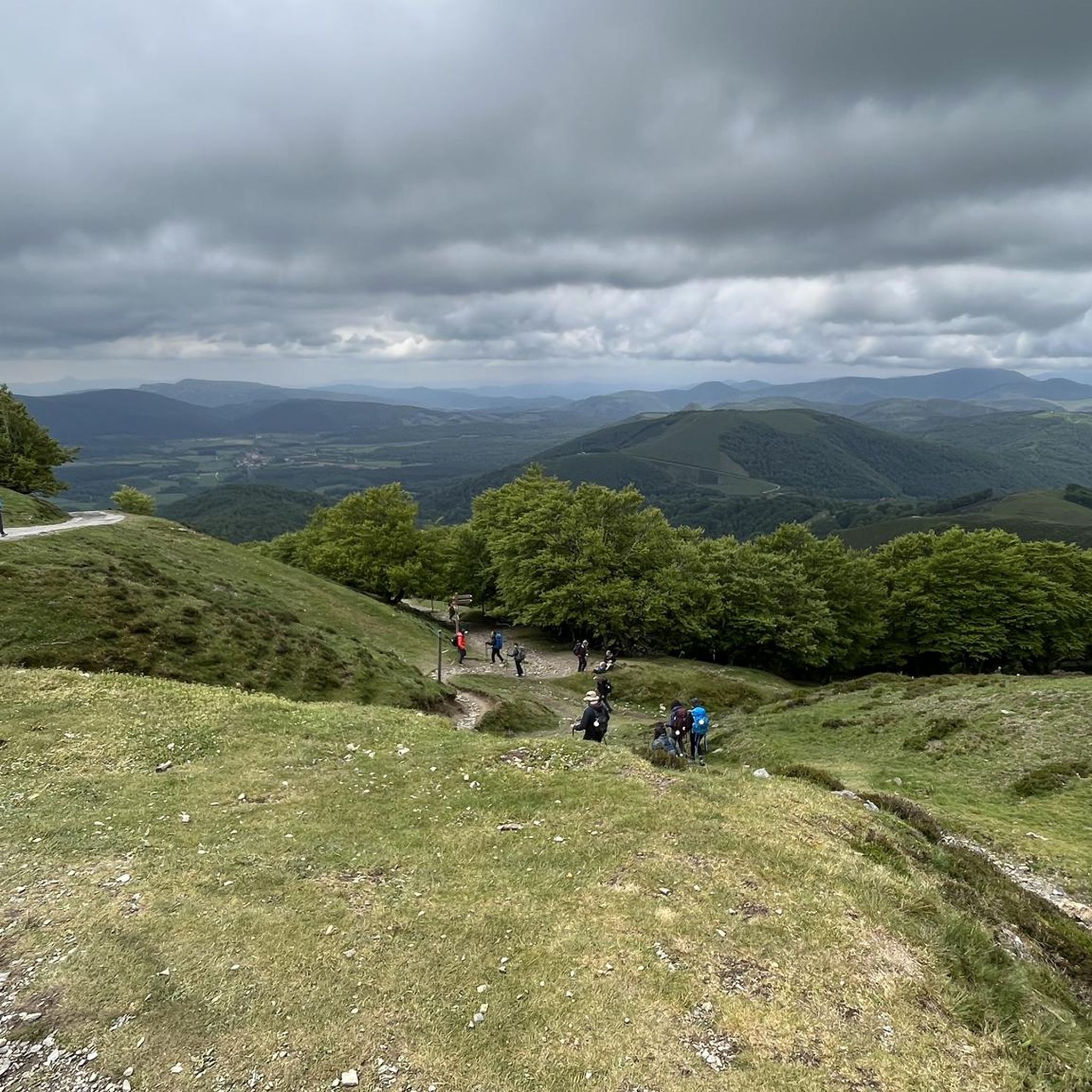
MTB Trails around Orreaga/Roncesvalles
Cycling around Orreaga/Roncesvalles
Running Trails around Orreaga/Roncesvalles

Gravel biking around Orreaga/Roncesvalles
Other adventures around Orreaga/Roncesvalles


Tips from the Community

Reaching Roncesvalles meant the luxury of sleeping in a real bed at the famous pilgrim hostel (albergue de peregrinos). Marking the end of the legendary first stage of the Camino Francés from Saint-Jean-Pied-de-Port into Spain, this impressive, well-organized facility is wonderfully run by Dutch volunteers. Since there is no grocery store in Roncesvalles itself, a necessary 5 km round-trip walk was required to stock up, loading down my backpack with enough supplies for 5 breakfasts, 7 lunches, and 5 dinners for the demanding days ahead.
2
0
At the foot of the Pyrenees on the Spanish side of the border, Roncesvalles is one of the most iconic and historic stops on the entire Camino de Santiago. Famous for its magnificent 13th-century Royal Colegiata of Saint Mary, this small hamlet has welcomed weary pilgrims and hikers for centuries after their demanding trek over the mountain pass from Saint-Jean-Pied-de-Port. Beyond its rich medieval history and legendary link to the Song of Roland, Roncesvalles offers essential comforts for travelers today, including pilgrim hostels, warm meals, and a deeply atmospheric sanctuary where you can rest, reflect, and prepare for the road ahead.
2
0
The Lepoeder Pass (Col de Lepoeder), standing at roughly 1,430 meters, is the highest point and the ultimate climax of the Route of Napoleon on the Camino de Santiago. Reaching this viewpoint is one of the most physically demanding but deeply rewarding moments of the entire trek from France into Spain. Because it is the highest saddle on the route, it is notoriously windy and exposed to the elements. Even on a sunny day, you will likely want to pull on a windbreaker while you stop to take your photos. This viewpoint is a critical junction. From here, you must choose your path down to Roncesvalles: the steep, direct trail that plunges straight through the beautiful but tough woodland, or the slightly longer, gentler paved route that takes you via the Ibañeta Pass.
1
0
The Lepoeder Pass is a magnificent, unforgettable milestone. The Lepoeder Pass (Col de Lepoeder), standing at roughly 1,430 meters, is the highest point and the ultimate climax of the Route of Napoleon on the Camino de Santiago. Reaching this viewpoint is one of the most physically demanding but deeply rewarding moments of the entire trek from France into Spain. Because it is the highest saddle on the route, it is notoriously windy and exposed to the elements. Even on a sunny day, you will likely want to pull on a windbreaker while you stop to take your photos. This viewpoint is a critical junction. From here, you must choose your path down to Roncesvalles: the steep, direct trail that plunges straight through the beautiful but tough woodland, or the slightly longer, gentler paved route that takes you via the Ibañeta Pass.
1
0
The Izandorre Bivouac (Refugio de Izandorre) is a small but incredibly important stone shelter located high up on the Route of Napoleon, situated on the challenging stretch between Saint-Jean-Pied-de-Port and Roncesvalles. While it isn't a place you should plan to spend the night under normal circumstances, it is a literal lifesaver for those crossing the Pyrenees in bad weather. Here is what you should know. This is a very spartan, basic hut designed specifically to provide immediate shelter from the sudden snowstorms, freezing winds, or blinding fog that can unexpectedly roll into this high-altitude pass. SOS Capabilities: Because this section of the trail can be dangerous in poor conditions, the shelter is equipped with an emergency communication system so hikers can contact mountain rescue if things go wrong.
1
0
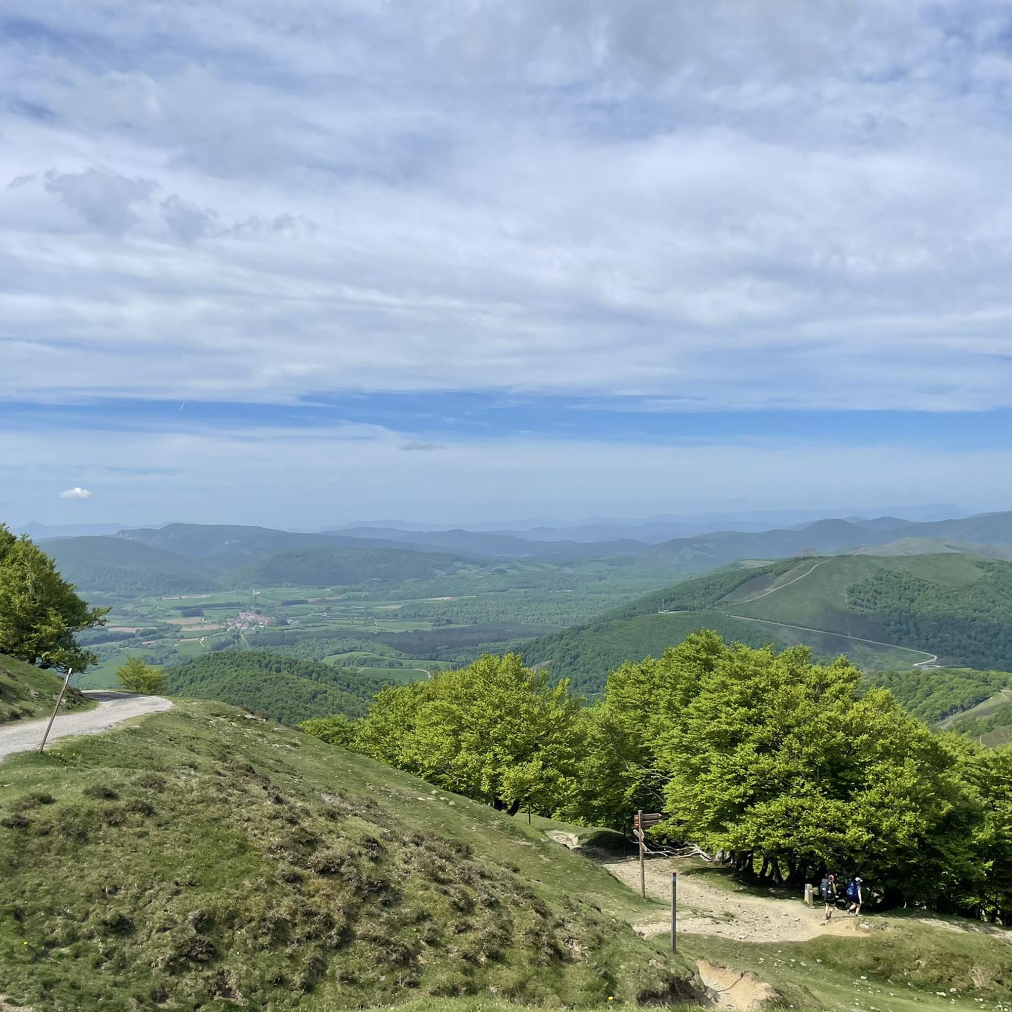
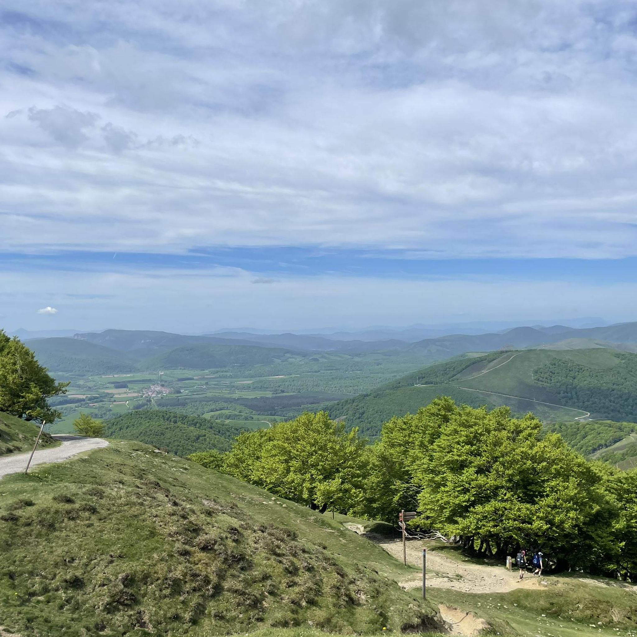
The views of the Pyrenees surrounding Roncesvalles are nothing short of spectacular and serve as a massive visual reward for anyone making the tough crossing from France. As you transition into the Navarre region, the harsh, rocky crags of the high Pyrenees give way to something softer but equally grand. The mountains here are characterized by sweeping, incredibly lush green ridges and deep valleys blanketed in massive, ancient beech forests.
1
0
The Ibañeta Chapel is a moving and highly anticipated milestone for anyone walking the Camino de Santiago. After the grueling, steep ascent from the French side of the Pyrenees, crossing the border into Spain, and finally beginning your descent, this small chapel and the large stone cross beside it are a spectacular sight. The First Spanish Waypoint: It serves as the very first visible intermediate destination on the Spanish side of the mountains, signaling that the hardest part of the climb is officially behind you. Once you reach this point, you are almost done! Just a short walk further down the trail lies the day's final stage destination: the mighty and magnificent monastery complex of Roncesvalles.
1
0

Orreaga-Roncesvalles preserves the memory of heroic songs, ancient paths, and exhausted pilgrims on the way to Compostela. Kings who built hospitals, churches, monasteries, and chapels, innkeepers for whom welcoming strangers was and is sacred, and the love for their Holy Virgin, their brotherhood, and their pilgrims and their many crosses. Since the 10th century, Roncesvalles has been a place where pilgrims on the Camino de Santiago to Santiago de Compostela can rest after their arduous ascent. Santa María de Roncesvalles is above all a place for spirituality and pilgrimage. Pilgrim masses, pilgrimages, Brotherhood of Nuestra Señora. At the 1057m high Puerto Roncesvalles pass, Augustinians founded the Colegiata de Roncesvalles abbey in 1130. As early as 778, a battle took place here between the Franks under Charlemagne and the Basques. The warrior Roland was killed, and the Song of Roland was created.
0
0
Frequently Asked Questions
How many hiking trails are there in Orreaga/Roncesvalles?
Orreaga/Roncesvalles offers a diverse network of over 30 hiking routes. These trails cater to various skill levels, with 9 easy, 17 moderate, and 6 difficult options available.
What are some easy trails suitable for beginners or families?
For an easy and family-friendly option, consider the Basajaunberro Forest - circular from Orreaga/Roncesvalles. This 2.8-mile (4.5 km) path winds through picturesque beech and oak trees and meadows, making it ideal for a relaxed walk. The Woods of Basajaunberro are specifically noted as an easy, circular route suitable for families.
Are there any circular hiking routes in the area?
Yes, Orreaga/Roncesvalles features several circular routes. Beyond the family-friendly Basajaunberro Forest loop, you can explore the Lepoeder Pass Viewpoint – Ibañeta Chapel loop from Orreaga / Roncesvalles, a moderate 5.9-mile (9.5 km) trail offering scenic views through the Ibañeta Pass.
What historical landmarks or natural features can I see along the trails?
The region is rich in both history and natural beauty. You can encounter the impressive Roland Fountain, the historic Ibañeta Pass with its panoramic views, and the Roncesvalles Battle Memorial. The Collegiate Church of Santa María de Orreaga/Roncesvalles is also a significant cultural landmark and a starting point for many walks.
What is the best time of year to hike in Orreaga/Roncesvalles?
The lush vegetation of Orreaga/Roncesvalles makes it vibrant green throughout much of the year. Spring and autumn offer pleasant temperatures and stunning natural colors, especially in the extensive oak and beech woodlands. Summer is also popular, though some higher-altitude trails might be more exposed. The region transforms into a snow-covered wonderland in winter, offering a different kind of experience for those prepared for colder conditions.
Is it possible to hike in Orreaga/Roncesvalles during winter?
Yes, winter hiking is possible, as the region transforms into a snow-covered landscape. However, the 'harsh weather' conditions mean that trails can be challenging, and appropriate gear and experience are essential. Always check local weather forecasts and trail conditions before heading out in winter.
What do other hikers enjoy most about the trails in Orreaga/Roncesvalles?
The trails in Orreaga/Roncesvalles are highly regarded by the komoot community, with an average rating of 4.6 stars from over 200 reviews. Hikers often praise the stunning natural landscapes, the tranquility of the ancient oak and beech woods, and the blend of natural beauty with historical significance, particularly along sections of the Camino de Santiago.
Are there any longer or more challenging routes for experienced hikers?
For experienced hikers seeking a challenge, the Orreaga/Roncesvalles to Fuente de Roldan along the Camino de Santiago Francés is a difficult 10.5-mile (16.8 km) path with significant elevation gain. Another demanding option is the Lepoeder Pass Viewpoint – Izandorre Emergency Shelter loop from Orreaga / Roncesvalles, a difficult 16.7-mile (26.8 km) route with substantial ascent.
What kind of wildlife can I expect to see while hiking?
The extensive woodlands and diverse terrain of Orreaga/Roncesvalles support a rich variety of flora and fauna. Hikers might spot species such as the Pyrenean muskrat, Pyrenean frog, and the black woodpecker. The region is also home to the rare Graellsia isabellae butterfly.
Where can I find parking for hiking trails in Orreaga/Roncesvalles?
Orreaga/Roncesvalles is a well-known starting point for the Camino de Santiago, and as such, there are usually designated parking areas available for visitors. It's advisable to look for parking near the main collegiate complex or other popular trailheads. Specific parking information for individual routes can often be found on komoot tour pages.
How can I get to Orreaga/Roncesvalles using public transport?
Orreaga/Roncesvalles is accessible by public transport, primarily through bus services connecting it to larger towns and cities in Navarra, such as Pamplona. Given its status as a Camino de Santiago starting point, there are often services tailored to pilgrims and hikers. For detailed schedules and routes, it's best to consult local transport providers or the official tourism website for Navarra: visitnavarra.es.
Most popular routes around Orreaga/Roncesvalles
Most popular attractions around Orreaga/Roncesvalles

Get inspired with the komoot mobile app


Explore more
Browse the best Hikes in other regions.
