The best walks and hikes around Almendralejo
4.5
(70)
461
hikers
38
hikes
Hiking around Almendralejo offers routes through a landscape characterized by vineyards, historical sites, and views of local reservoirs. The terrain typically features gentle ascents and descents, with some longer trails exploring the wider region. The area provides a mix of paths suitable for various hiking preferences, from shorter loops to more extensive journeys.
Best hiking trails around Almendralejo
- The most popular hiking route is Culebra Castle Trail, a 3.3 miles (5.3 km) trail that takes 1 hour 36 minutes…
Last updated: August 31, 2026
4.0
(4)
26
hikers
30.0km
07:42
130m
130m
Hard hike. Very good fitness required. Easily-accessible paths. Suitable for all skill levels.
4.0
(3)
10
hikers
27.0km
06:57
120m
120m
Hard hike. Very good fitness required. Easily-accessible paths. Suitable for all skill levels.

Sign up for free
4
hikers
9.68km
02:33
90m
90m
Moderate hike. Good fitness required. Easily-accessible paths. Suitable for all skill levels.
2
hikers
5.59km
01:28
50m
50m
Easy hike. Great for any fitness level. Easily-accessible paths. Suitable for all skill levels.
2
hikers
17.1km
04:24
70m
70m
Moderate hike. Good fitness required. Easily-accessible paths. Suitable for all skill levels.
Get access to more routes and recommendations from other explorers.
Sign up for free
Already have an account?
Our route recommendations are based on thousands of hikes, rides, and runs completed by other people on komoot.
Start today with a free account
Your next adventure awaits.
Login or Signup

Tips from the Community

Almendralejo, located in the province of Badajoz, Extremadura, is a city with a rich historical, cultural, and agricultural heritage. Founded after the Reconquista, around the 13th century, by the Order of Santiago. Its name comes from the almond trees that once covered the original site. By the 16th century, it already had a well-established urban structure. In 1513, it received its charter of privileges, which spurred its development.
4
0
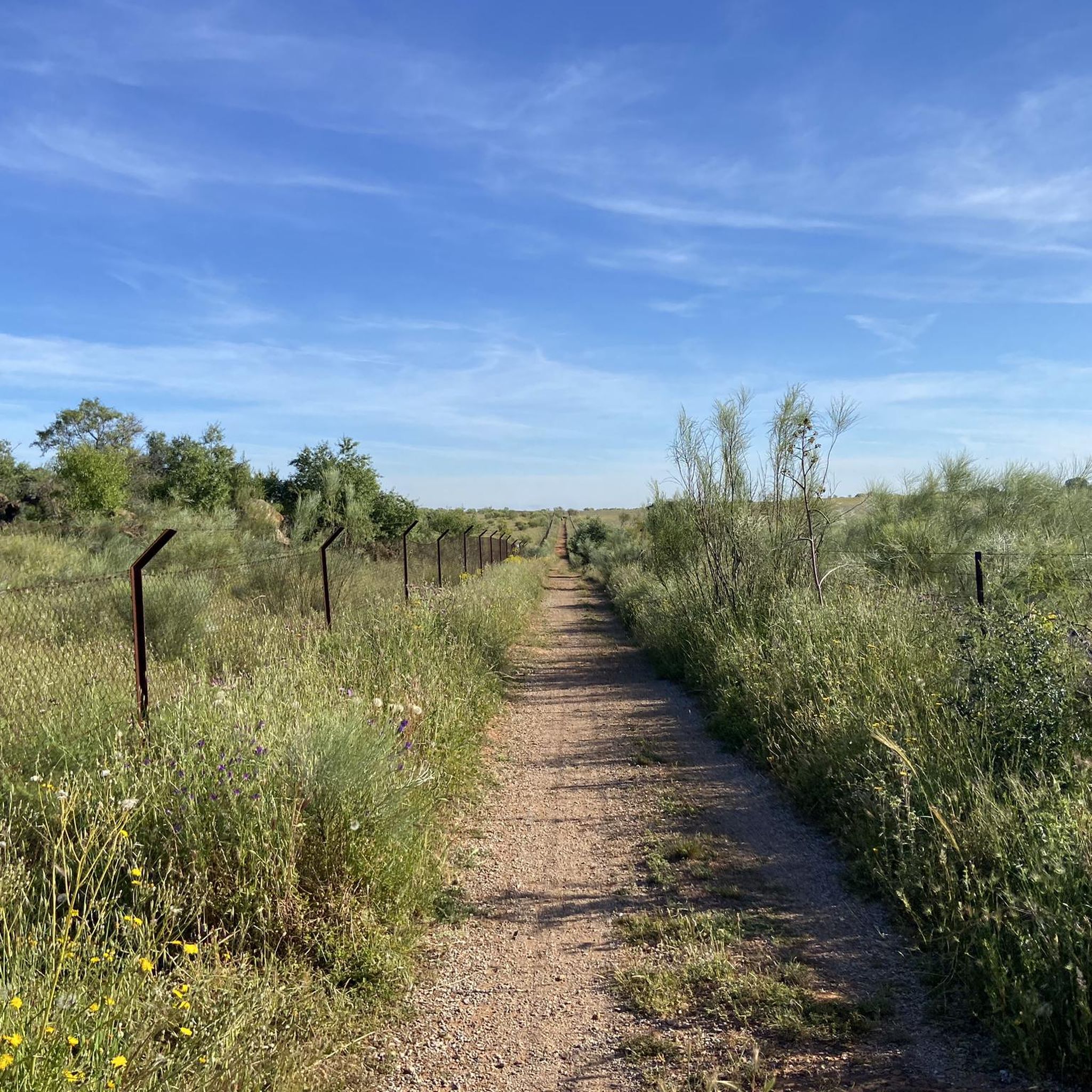
The Torremejía Way is a stage of the Camino de la Plata, also known as the Silver Route, which joins the Mozarabic Way in Mérida. The stage from Torremejía to Mérida is relatively short, about 15.3 km. This section is known for its rural landscapes and the tranquility it offers pilgrims.
4
0
Point on the Mozárabe Way (also known as Vía de la Plata or VdlP) is a pilgrimage route that connects Almería with Santiago de Compostela.
8
0
Point on the Mozárabe Way (also known as Vía de la Plata or VdlP) is a pilgrimage route that connects Almería with Santiago de Compostela.
3
0
Point on the Mozárabe Way (also known as Vía de la Plata or VdlP) is a pilgrimage route that connects Almería with Santiago de Compostela.
2
0
Point on the Mozárabe Way (also known as Vía de la Plata or VdlP) is a pilgrimage route that connects Almería with Santiago de Compostela.
2
0

With the Palacio de Lastra as one of the most important elements of the center and where the Camino de Santiago runs through it, heading south. There is always an area to grab something or find some shade.
0
0
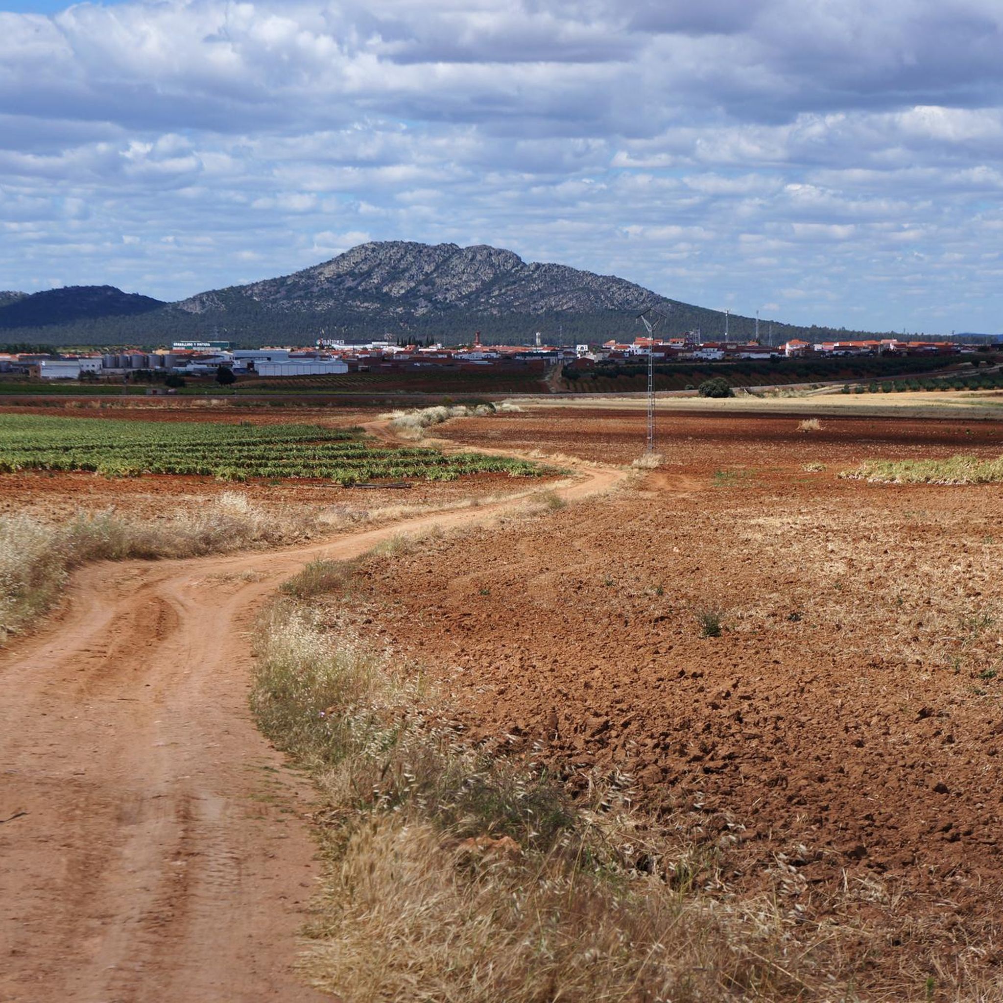
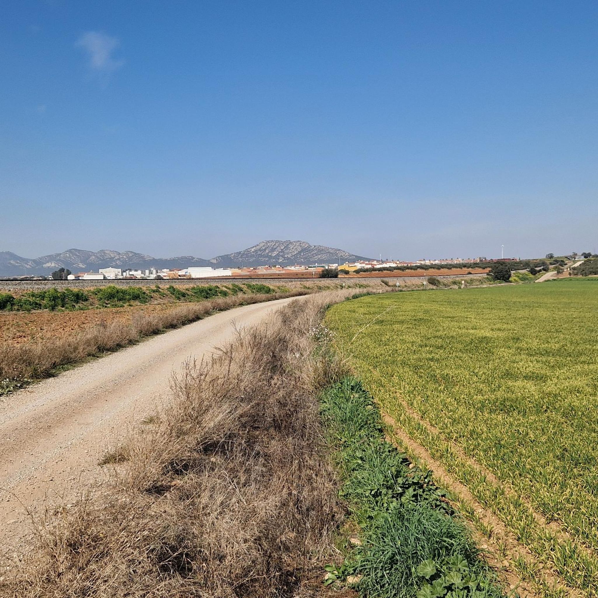
From Torremejía and which comes from the city of Mérida, the Camino de Santiago appears that goes in a southerly direction, towards Villafranca de los Barros. Surrounded by agricultural fields and large esplanades.
0
0
Frequently Asked Questions
How many hiking trails are available around Almendralejo?
There are 10 hiking trails around Almendralejo, offering a variety of experiences from easy strolls to more challenging long-distance routes.
Are there any easy hiking routes suitable for beginners in Almendralejo?
Yes, Almendralejo offers 4 easy hiking routes. An example is the Views of the Alange Reservoir – Alange Castle loop from Alange, which is 3.2 km long and takes about 1 hour to complete.
What kind of scenery can I expect on hikes around Almendralejo?
Hiking around Almendralejo is characterized by vineyard paths, scenic views of local reservoirs, and historical landmarks. The landscape often features gentle ascents and descents through rural settings.
Are there any circular hiking routes in the Almendralejo area?
Many routes around Almendralejo are circular. For example, the Alange Castle – Views of the Alange Reservoir loop from Alange is a moderate 12.3 km loop offering scenic vistas.
What historical sites or landmarks can I see while hiking near Almendralejo?
You can explore several historical sites and landmarks. The Culebra Castle Trail offers views of the historic Culebra Castle. Other notable attractions in the wider area include Alange Castle and the Church of Nuestra Señora de la Purificación in Almendralejo itself.
Are there any long-distance hiking options around Almendralejo?
Yes, for those seeking longer treks, the Vineyards – Clay Road loop from Almendralejo is a challenging 29.9 km trail that takes approximately 7 hours 42 minutes to complete, leading through extensive vineyards and rural roads.
What do other hikers enjoy most about the trails in Almendralejo?
The trails in Almendralejo are highly rated by the komoot community, with an average score of 4.4 stars from over 50 reviews. Hikers often praise the diverse terrain, from vineyard paths to reservoir views, and the historical points of interest along the routes.
Are there any viewpoints or scenic spots on the hikes?
Yes, many routes offer excellent viewpoints. The Alange Castle – Views of the Alange Reservoir loop from Alange provides stunning vistas of the Alange Reservoir. The region's vineyards also offer picturesque landscapes, such as those seen on the Vineyards of Ribera del Guadiana.
Are there any challenging or advanced hiking routes in the area?
For experienced hikers, there are 2 difficult routes. The Arch of Trajan – Temple of Diana (Mérida) loop from ENCE Mérida is a demanding 26.9 km trail, and the Vineyards – Clay Road loop from Almendralejo is another challenging option.
Is there parking available at the trailheads around Almendralejo?
While specific parking details for every trailhead are not listed, routes often start from towns or accessible points where parking is generally available. For routes like the Vineyards – Clay Road loop from Almendralejo, starting directly from Almendralejo, you can typically find parking within the town or near the route's beginning.
What is the best time of year to go hiking in Almendralejo?
The best time for hiking in Almendralejo is generally during the spring (March to May) and autumn (September to November) when temperatures are milder and the landscape is vibrant. Summers can be very hot, making early morning or late afternoon hikes preferable.
Are there any family-friendly walks suitable for children?
Yes, there are 4 easy routes that are generally suitable for families. The Views of the Alange Reservoir – Alange Castle loop from Alange is a shorter, easy option that could be enjoyable for families.
Most popular attractions around Almendralejo

Get inspired with the komoot mobile app


Explore more
Browse the best Hikes in other regions.
