The best road cycling routes around Brüheim
4.7
(64)
578
riders
25
rides
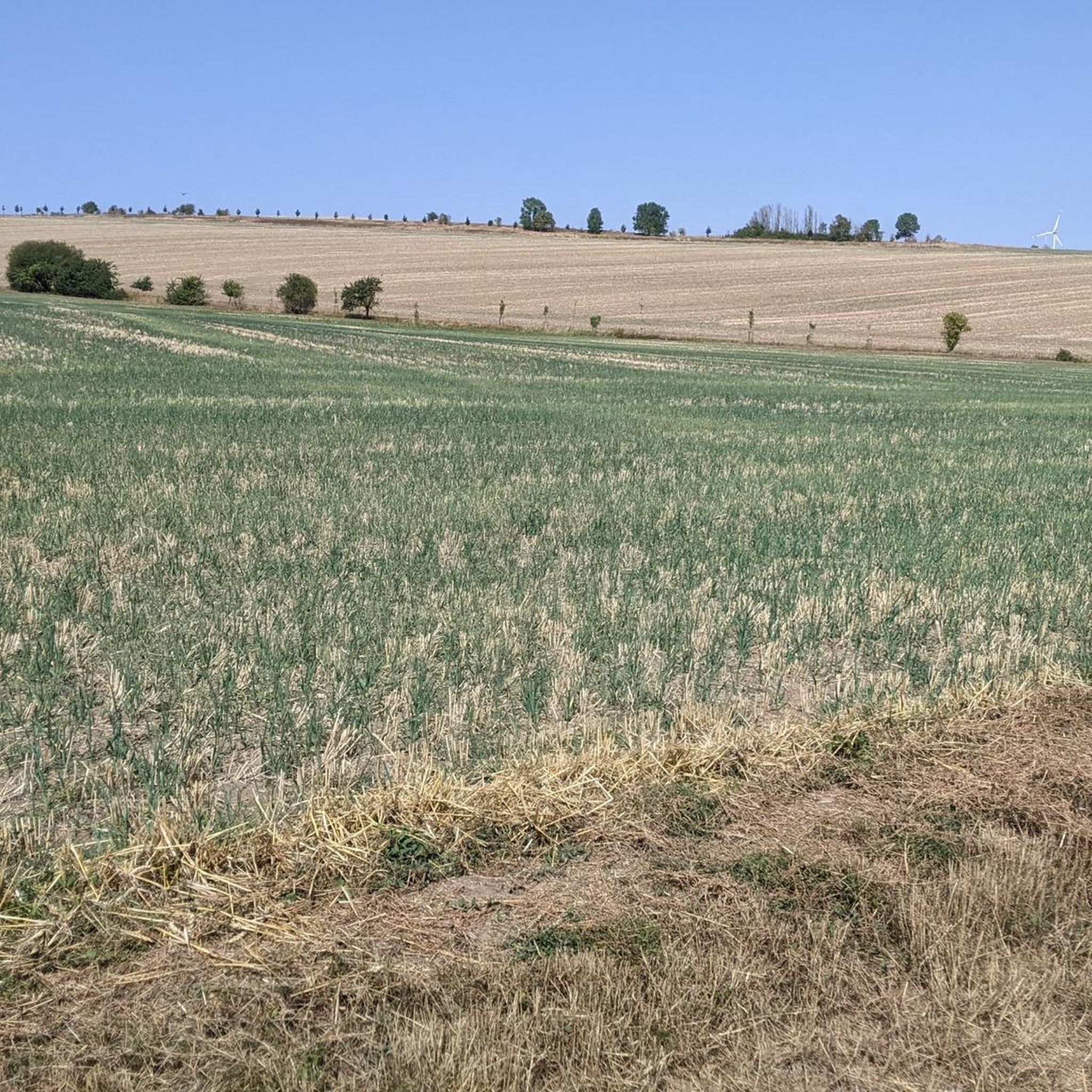
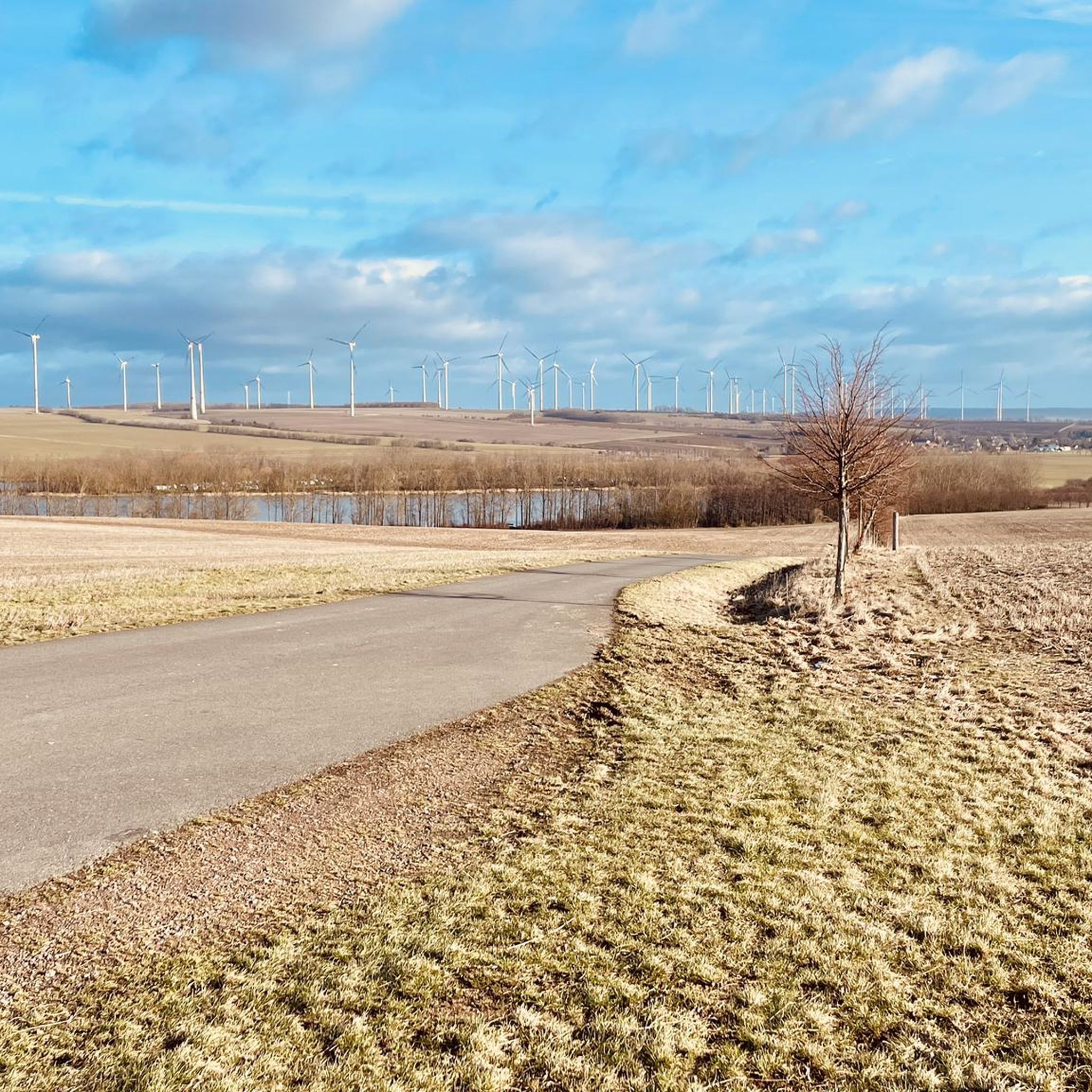
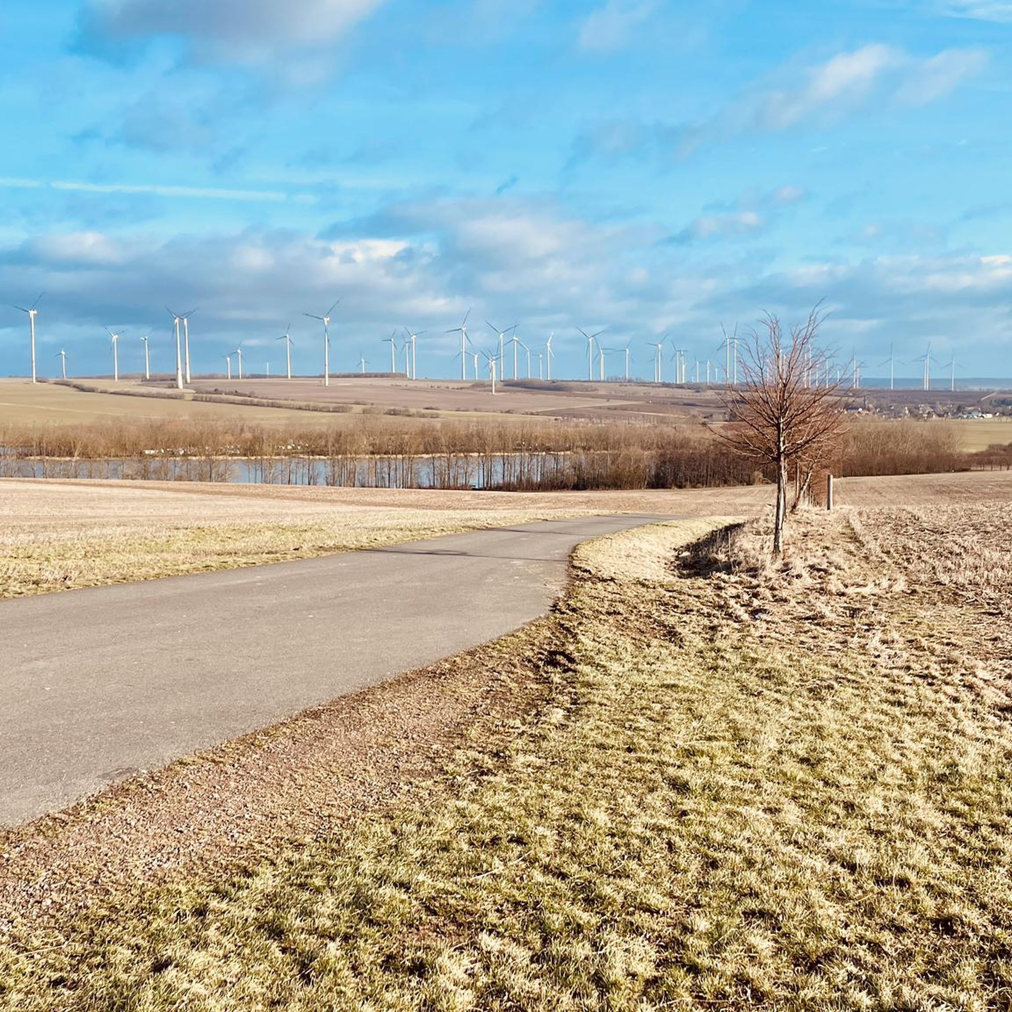
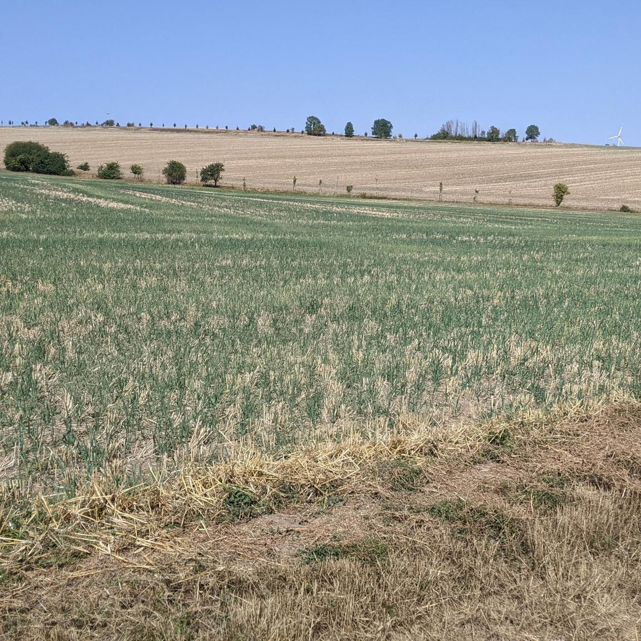
Road cycling around Brüheim offers access to diverse landscapes within the Nessetal Valley and proximity to Hainich National Park. The region features gentle river floodplains, fertile fields, and wooded shell limestone ridges, providing varied terrain for cyclists. Routes often follow former railway tracks, ensuring mostly paved surfaces and relaxed gradients. The broader Thuringian landscape includes low mountain ranges and river valleys, presenting a mix of challenging climbs and flatter sections.
Best road cycling routes around Brüheim
- The most popular road…
Last updated: July 8, 2026
5.0
(1)
26
riders
Moderate road ride. Great for any fitness level. Some segments of this route may be unpaved and difficult to ride.
5.0
(2)
18
riders
Moderate road ride. Great for any fitness level. Some segments of this route may be unpaved and difficult to ride.

Sign up for free
20
riders
48.6km
02:14
480m
480m
Moderate road ride. Good fitness required. Mostly well-paved surfaces and easy to ride.
5.0
(3)
20
riders
52.3km
02:19
500m
500m
Moderate road ride. Good fitness required. Mostly well-paved surfaces and easy to ride.
4.2
(5)
18
riders
64.5km
02:33
220m
220m
Moderate road ride. Good fitness required. Some segments of this route may be unpaved and difficult to ride.
Get access to more routes and recommendations from other explorers.
Sign up for free
Already have an account?
Our route recommendations are based on thousands of hikes, rides, and runs completed by other people on komoot.
Start today with a free account
Your next adventure awaits.
Login or Signup
Tips from the Community

The Nesse Valley Cycle Route begins in Erfurt, where the Nesse River rises in Alach, and ends in Eisenach. This beautiful cycle route runs partly along an old railway embankment. A total of approximately 70 km along the Nesse River.
2
0

wonderful impressions for the whole family
0
0

Someone must be found, it's such a shame that this castle hasn't found a loving owner for 26 years now.
0
0

Large parking lot directly opposite the entrance to the Hainich National Park Center. Parking is subject to a fee; payment options are available via app or cash. From the parking lot, you can access several hikes (Treetop Walk, Thiemsburg Castle, etc.) in the Hainich Nature Park.
1
0

This very well-preserved windmill is accessible and can be visited directly, but not inside. It's visible from afar and is signposted throughout the village.
0
0

Day ticket price 4.00 euros.
1
0

Beautiful water features beautifully planted from spring to autumn.
17
0
A beautiful viewpoint over the market towards the town hall.
15
0
Frequently Asked Questions
What kind of terrain can I expect when road cycling around Brüheim, and what are the difficulty levels?
Road cycling around Brüheim offers a diverse landscape. You'll find routes through the gentle Nessetal Valley with fertile fields and river floodplains, often utilizing former railway tracks for smooth, mostly paved surfaces and relaxed gradients. Closer to Hainich National Park, the terrain becomes more varied with wooded shell limestone ridges and some routes featuring moderate to steep gradients. Overall, the region provides options for different ability levels, from relaxed rides with minimal elevation gain, like the Cycle path on old railway line – Wangenheim Station loop from Warza, to more challenging routes with significant climbs, such as the Friedrichswerth Palace – Gotha Waterworks loop from Burla which includes over 480 meters of elevation gain.
Are there many circular road cycling routes available near Brüheim?
Yes, the area around Brüheim is well-suited for circular road cycling routes. Many of the 26 available routes are loops designed to bring you back to your starting point. For example, the popular Jacobuskirche Fischbach loop from Haina is a moderate 29.9 km circular path, and the National Park Center Thiemsburg – Thüngeda Post Mill loop from Hörselberg-Hainich offers a longer 51.9 km circular ride.
What historical sites or natural landmarks can I see along road cycling routes near Brüheim?
Road cycling routes near Brüheim offer access to a variety of historical and natural attractions. You can encounter charming small villages and historical towns. For natural beauty, routes often pass by features like the Düsteröder Pond or the Viole-Teiche near Goldbach Nature Monument. The broader Thuringian landscape also includes significant sites like Schloss Friedenstein in Gotha and the UNESCO World Heritage Site Wartburg Castle in Eisenach, which can be incorporated into longer rides.
Are there family-friendly road cycling routes suitable for all ages around Brüheim?
Yes, Brüheim offers several family-friendly road cycling routes. The Nessetal Cycle Path, which often utilizes former railway tracks, provides smooth, mostly paved surfaces with gentle gradients, making it ideal for families. Routes with minimal elevation gain, such as the Cycle path on old railway line – Wangenheim Station loop from Warza, are particularly suitable for a relaxed ride with children.
Are there options for longer distance road cycling routes from Brüheim?
Absolutely. While many routes are moderate in length, you can combine sections of the Nessetal Cycle Path or explore the broader Thuringian landscape for longer rides. Routes like the Old Wangenheim Railway Station – Stone Eye loop from Friedrichswerth, at over 65 km, provide a good option for a longer day out. The region's network allows for extended tours connecting historical cities like Erfurt and Eisenach.
What is the best time of year for road cycling in Brüheim?
The best time for road cycling in Brüheim is generally from spring through early autumn. During these seasons, the weather is typically mild, and the landscapes are vibrant. The Nessetal Valley and Hainich National Park are particularly beautiful with blooming fields in spring and colorful foliage in autumn. Always check local weather forecasts before heading out.
Where can I find parking for road cycling routes in Brüheim?
While specific parking spots for each route are not detailed, Brüheim and the surrounding villages offer various public parking options. Many routes start from or pass through villages where parking is available. For routes venturing into Hainich National Park, designated parking areas are usually provided near trailheads or visitor centers, such as those close to Wildkatzendorf Hutscheroda or the National Park Circular Route.
Can I reach road cycling routes near Brüheim using public transport?
The region around Brüheim has public transport connections, though their suitability for cyclists with bikes can vary. The Nessetal Cycle Path connects several villages, and regional bus services might offer limited bike transport. For more extensive travel, train services in the broader Thuringia region often allow bikes, providing access to starting points in larger towns like Gotha, Erfurt, or Eisenach, which are linked to the local cycling network.
Are there cafes or places to stop for refreshments along the road cycling routes?
Yes, many road cycling routes around Brüheim pass through charming small villages where you can find local cafes, bakeries, or pubs for refreshments. The Nessetal Cycle Path, in particular, connects several communities, offering opportunities for breaks. For routes near Hainich National Park, there might be visitor centers or specific establishments catering to tourists.
What do other road cyclists enjoy most about road cycling in Brüheim?
The road cycling experience in Brüheim is highly rated by the komoot community, with an average score of 4.7 stars from over 60 reviews. Cyclists often praise the varied terrain, from the gentle river floodplains of the Nessetal to the more challenging wooded ridges. The well-maintained, mostly paved surfaces, often on former railway tracks, are also frequently highlighted for providing a smooth and enjoyable ride.
How many road cycling routes are available in the Brüheim area?
There are over 25 road cycling routes available around Brüheim, offering a wide range of options for different preferences and fitness levels. These include 5 easy routes, 20 moderate routes, and 1 difficult route, ensuring there's something for every road cyclist.
Most popular attractions around Brüheim

Get inspired with the komoot mobile app


Explore more
Browse the best Road cycling routes in other regions.
