The best running trails around Rugat
5.0
(1)
544
runners
34
runs
Jogging routes around Rugat offer diverse natural landscapes, from greenways to mountainous terrain, providing varied options for runners. The region is characterized by its proximity to the Vía Verde del Serpis, an old railway line transformed into a scenic path, and the expansive Serra de Mariola Natural Park. These areas feature riparian forests, karst landscapes, and a network of trails amidst pine forests and rugged formations. The terrain includes both gentle paths along riverbeds and more challenging ascents through hills.
…Last updated: June 24, 2026
21
runners
19.8km
02:14
410m
420m
Hard run. Very good fitness required. Mostly paved surfaces. Suitable for all skill levels.
5.0
(1)
79
runners
27.7km
04:33
1,330m
1,330m
Hard run. Very good fitness required. Sure-footedness, sturdy shoes and alpine experience required.

Sign up for free
61
runners
22.8km
03:29
920m
920m
Hard run. Very good fitness required. Sure-footedness, sturdy shoes and alpine experience required.
51
runners
36.3km
05:35
1,490m
1,490m
Hard run. Very good fitness required. Sure-footedness, sturdy shoes and alpine experience required.
51
runners
12.7km
01:58
530m
530m
Hard run. Very good fitness required. Sure-footedness, sturdy shoes and alpine experience required.
Get access to more routes and recommendations from other explorers.
Sign up for free
Already have an account?
Our route recommendations are based on thousands of hikes, rides, and runs completed by other people on komoot.
Start today with a free account
Your next adventure awaits.
Login or Signup

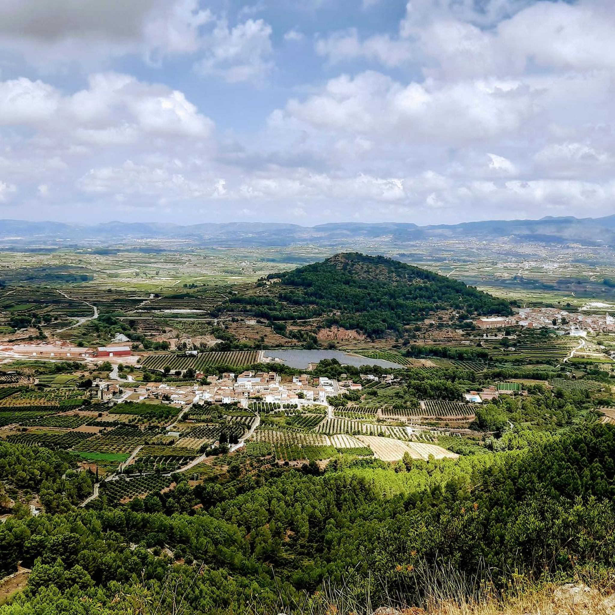
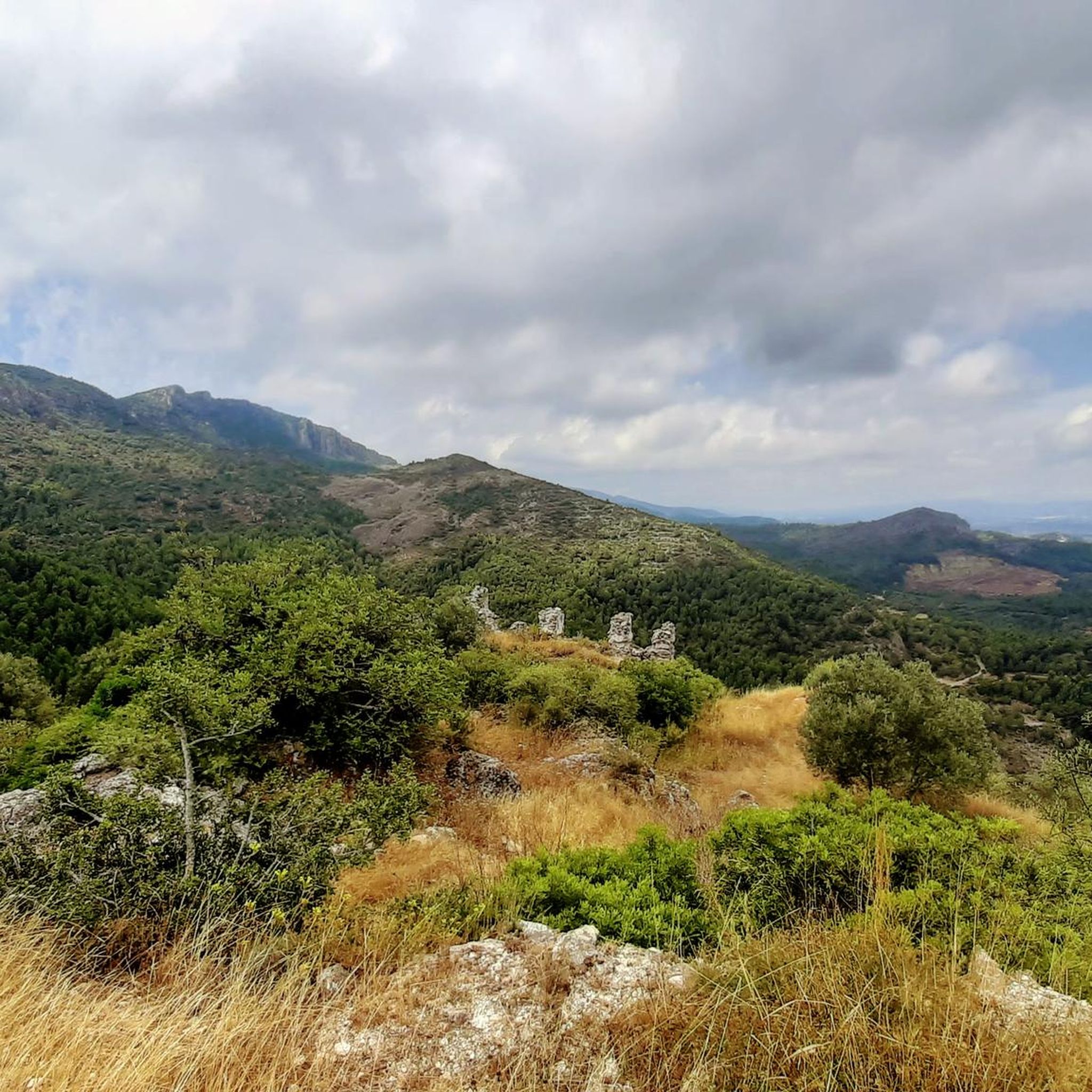
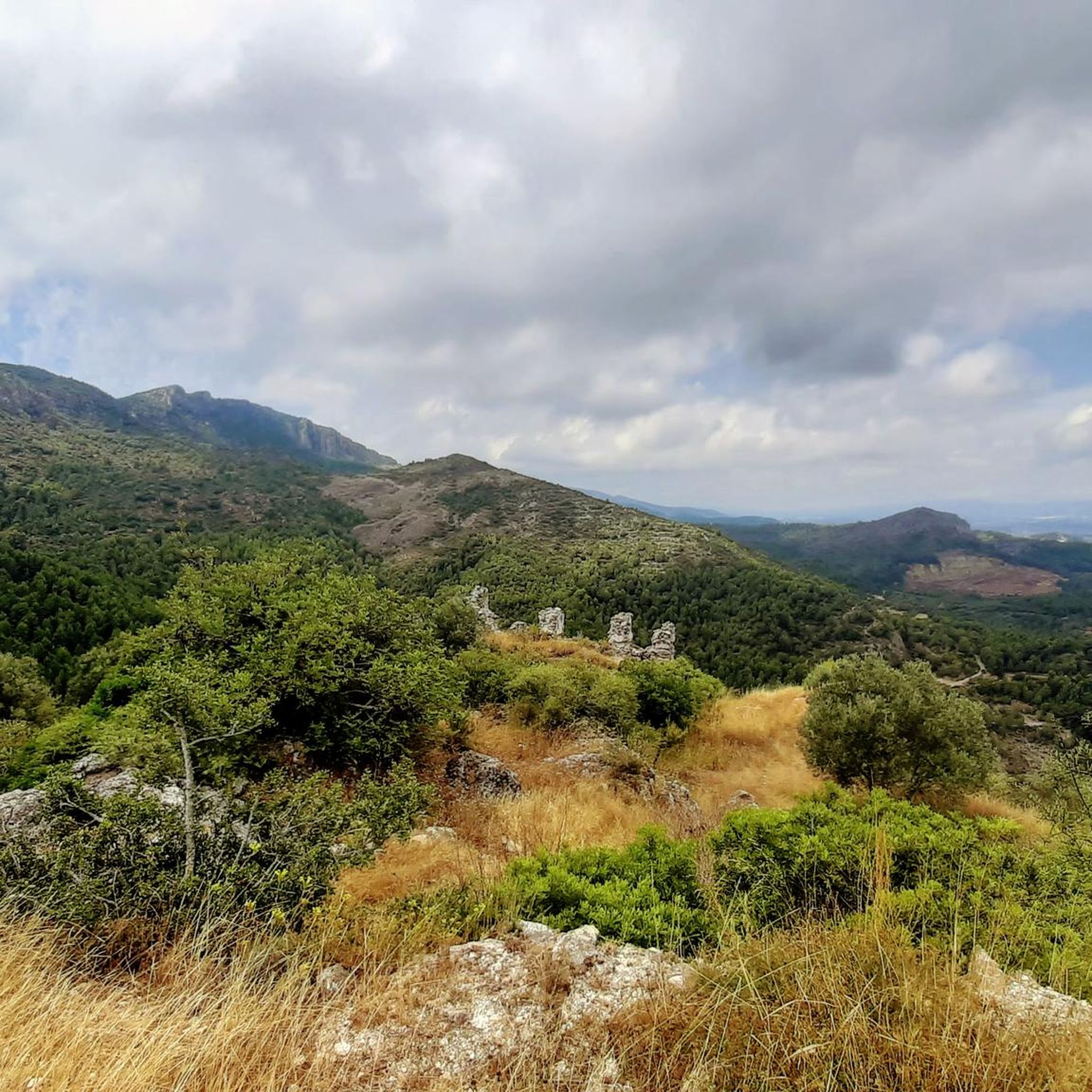
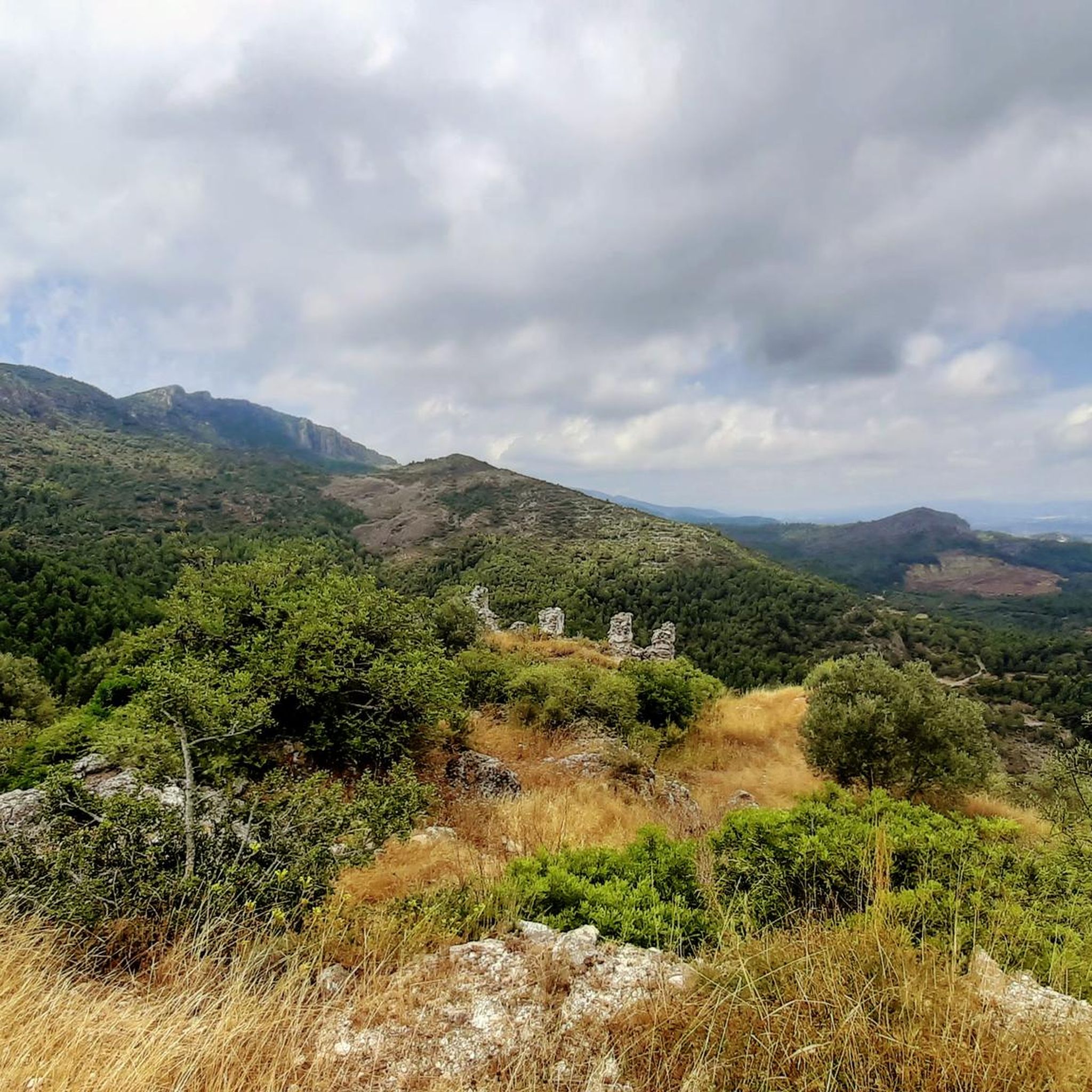

Other adventures around Rugat

Tips from the Community

Incredibly beautiful scenery. The path is mostly gravel and you should have decent tires.
3
1

A really colorful stage in which the stretch that separates Villalonga from Lorxa crosses a valley along the Serpis river, the old railway line that connected the towns of Gandía and Alcoy.
2
1
Via Verde cycle path for tourists and locals as an attraction.
2
1

The Via Verde runs along the Serpis River and is one of the most colorful and entertaining routes in the Valencian Community. Following the old railway route that has now been converted, you will find waterfalls, weirs, old railway buildings and tunnels that make for a very entertaining tour.
5
1
Top of Benicadell with incredible views in all directions. Going up from the Ombría path, it is an ascent with some technical difficulty but it can be reached without problems, especially when descending, with caution. Undoubtedly a point to visit for those who like views from the top!
3
0

Beautiful views from the Alt del Benicadell and the geodesic point.
9
2

As you walk up the road the last left turning down into an olive Grove is where you want to go. Keep walking until you come to an old farm building and drop down onto the red path from there.
1
0

Great 360º panorama. A very beautiful climb up the north face, in full shade with lots of greenery. Disadvantage: very popular because there are also accesses from the south side from Beniarrés.
2
1
Frequently Asked Questions
How many running routes are available around Rugat?
There are over 30 dedicated running routes around Rugat, offering a wide variety of distances and terrains. These trails are well-suited for different fitness levels, from moderate paths to more challenging ascents.
What kind of terrain can I expect on the jogging trails in Rugat?
Jogging routes in Rugat feature diverse terrain. You'll find paths along old railway lines like the Vía Verde del Serpis, which offers a mix of flat sections and gentle inclines through riparian forests and karst landscapes. Other routes venture into mountainous areas, particularly within the Serra de Mariola Natural Park, where you can expect more rugged paths, pine forests, and significant elevation changes.
Are there any easy or beginner-friendly running routes in Rugat?
While many routes around Rugat are classified as difficult, there are several moderate options suitable for those looking for a less strenuous run. For example, the Running loop from Salem is a moderate 8.6 km (5.3 miles) trail that offers a good introduction to the area's natural beauty without extreme elevation gain.
Can I find long-distance running trails or routes with significant elevation gain?
Absolutely. Rugat is an excellent destination for challenging runs. Routes like the Crossing – Benicadell Summit loop from Ráfol de Salem cover 27.7 km (17.2 miles) with over 1,300 meters of elevation gain, leading to expansive views from the Benicadell Summit. The Serra de Mariola Natural Park also offers numerous trails with substantial climbs.
What natural features or landmarks can I see while running in Rugat?
The region boasts impressive natural beauty. Along the Vía Verde del Serpis, you'll encounter tunnels, bridges, and remnants of old railway constructions, as well as the dramatic gorge carved by the Serpis River. In the Serra de Mariola Natural Park, look out for diverse flora, springs, and rugged rock formations, especially in areas like Barranco del Cint. You can also find stunning viewpoints such as View of Alt de Benicadell or Cim de la Safor (1,013 m).
Are there any circular running routes around Rugat?
Yes, many of the running routes in Rugat are designed as loops, allowing you to start and finish in the same location. An example is the Collado de la Balona – el Portet loop from Ráfol de Salem, which is a 12.7 km (7.9 miles) trail through varied terrain and hills.
Are the running trails in Rugat suitable for families?
While many routes are challenging, the flatter sections of the Vía Verde del Serpis can be suitable for families looking for a gentle jog or walk. It's advisable to check the specific route details for distance and elevation to ensure it matches your family's ability level. The historical elements and scenic views along the greenway can be enjoyable for all.
Are dogs allowed on the jogging routes in Rugat?
Many outdoor trails in the Rugat region, including sections of the Vía Verde del Serpis and trails within the Serra de Mariola Natural Park, are generally dog-friendly. However, it's always recommended to keep dogs on a leash, especially in natural parks to protect wildlife and ensure the safety of other users. Always check local regulations for specific areas.
What is the best time of year to go running in Rugat?
The spring and autumn months are generally ideal for running in Rugat, offering pleasant temperatures and lush landscapes. Summers can be hot, so early morning or late evening runs are recommended. Winters are typically mild, making it possible to enjoy the trails year-round, though some higher elevation paths might be cooler.
Are there any specific points of interest or huts along the running trails?
Yes, several routes pass by interesting points. For instance, you might encounter huts like the Benicadell Forest Hut or the Caseta del Magre, which can offer a brief resting spot or a point of interest. These structures often provide a glimpse into the local history and traditional uses of the land.
How accessible are the running routes by public transport or car parking?
Accessibility varies by route. Many trailheads, especially those for popular routes like the Vía Verde del Serpis, often have designated parking areas nearby. For routes within the Serra de Mariola Natural Park, access points are typically well-marked. While public transport options might be limited directly to all trailheads, nearby towns usually offer connections. It's best to research specific starting points for parking availability.
Most popular attractions around Rugat

Get inspired with the komoot mobile app


Explore more
Browse the best Running Trails & Routes in other regions.
