Réserve naturelle des Hauts Plateaux du Vercors
Réserve naturelle des Hauts Plateaux du Vercors
The best running trails around Réserve naturelle des Hauts Plateaux du Vercors
4.5
(169)
8,681
runners
381
runs
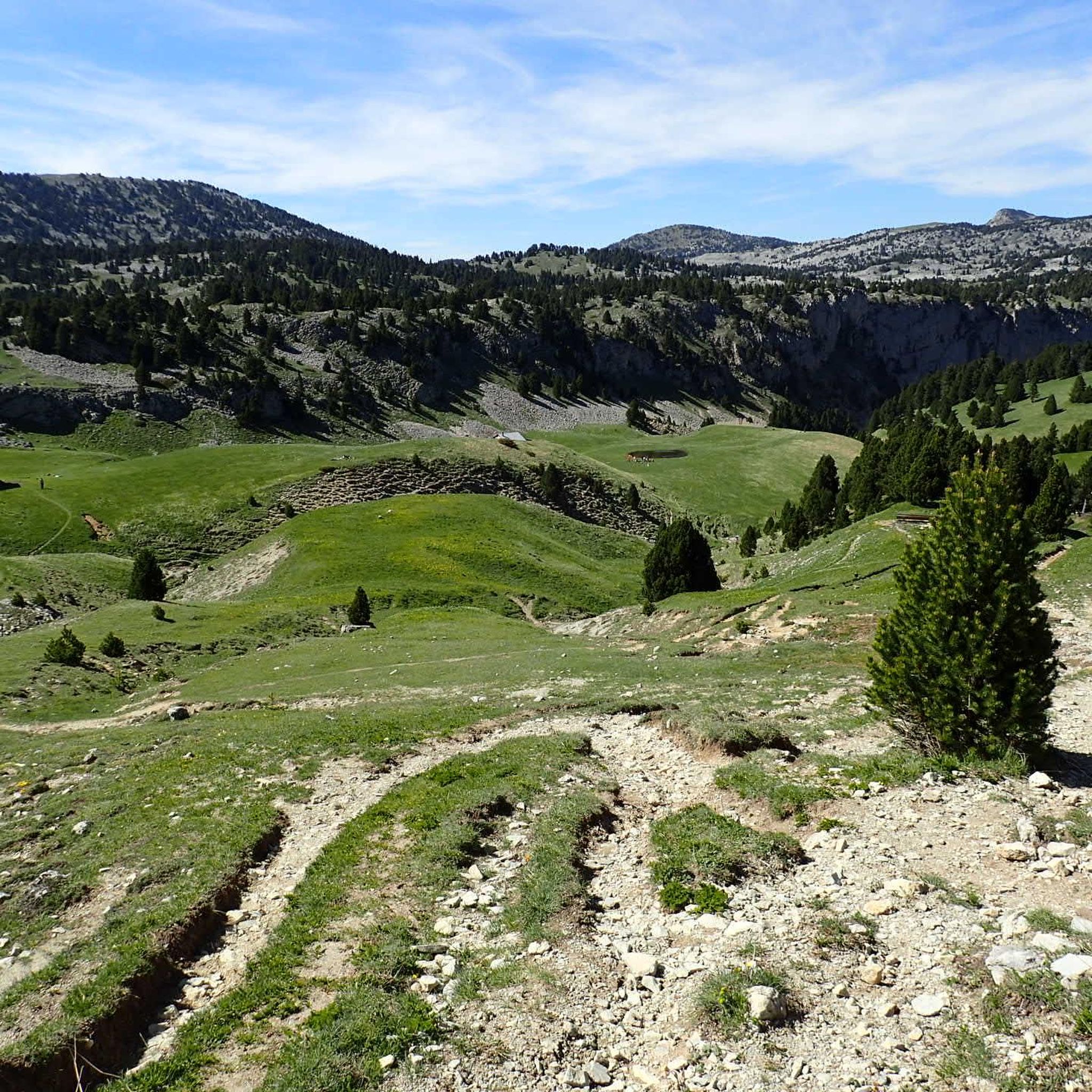
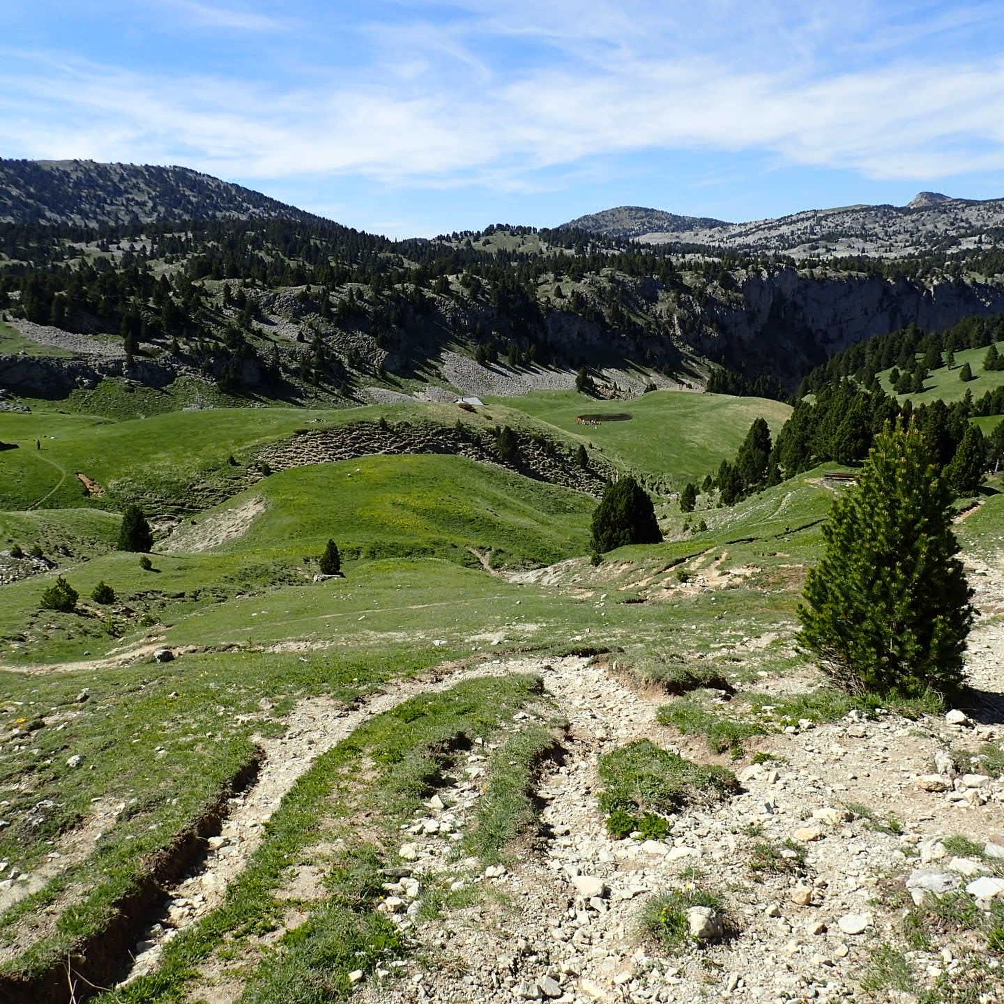
Jogging around Réserve naturelle des Hauts Plateaux du Vercors offers an immersive experience within France's largest land-based nature reserve. The region features diverse terrain, including expansive alpine pastures, dense mountain pine forests, and dramatic limestone cliffs. Elevations range significantly, providing varied landscapes for running. This vast, largely untouched environment ensures a true wilderness experience for trail runners.
Best jogging routes around Réserve naturelle des Hauts Plateaux du Vercors
- The most popular jogging route is Aiguille Pass – Pas de l'Aiguille Memorial loop from Richardière, a 4.7 miles (7.6 km) difficult trail that takes 1 hour 25 minutes to complete, featuring a memorial and scenic pass.
- Another top favourite among local runners is Aupet Pass loop from , a difficult 4.8 miles (7.8 km) path. This route offers a challenging ascent through the natural landscape.
- Local runners also love the Views of Mont Aiguille – Bachassons Pass loop from Mont Aiguille, a 5.5 miles (8.9 km) trail leading through varied terrain with views of Mont Aiguille, often completed in about 1 hour 50 minutes.
- Jogging around Réserve naturelle des Hauts Plateaux du Vercors is defined by vast alpine pastures, dense forests, and dramatic limestone cliffs. The extensive network offers options for easy, moderate, and difficult running routes.
- The routes in Réserve naturelle des Hauts Plateaux du Vercors are highly rated by the komoot community with an average score of 4.5 stars from over 100 reviews. More than 7000 runners have used komoot to explore Réserve naturelle des Hauts Plateaux du Vercors's varied terrain.
Last updated: October 16, 2026
5.0
(1)
48
runners
7.53km
01:26
540m
540m
Hard run. Very good fitness required. Sure-footedness, sturdy shoes and alpine experience required.
5.0
(1)
18
runners
29.8km
04:21
1,080m
1,080m
Hard run. Very good fitness required. Sure-footedness, sturdy shoes and alpine experience required.

4.0
(1)
18
runners
8.74km
01:37
600m
590m
Hard run. Very good fitness required. Sure-footedness, sturdy shoes and alpine experience required.
5.0
(1)
13
runners
8.90km
01:52
770m
770m
Hard run. Very good fitness required. Sure-footedness, sturdy shoes and alpine experience required.
4
runners
8.21km
00:59
170m
170m
Moderate run. Good fitness required. Mostly paved surfaces. Suitable for all skill levels.
Get access to more routes and recommendations from other explorers.
Already have an account?
Our route recommendations are based on thousands of hikes, rides, and runs completed by other people on komoot.
Start today with a free account
Your next adventure awaits.
Popular around Réserve naturelle des Hauts Plateaux du Vercors
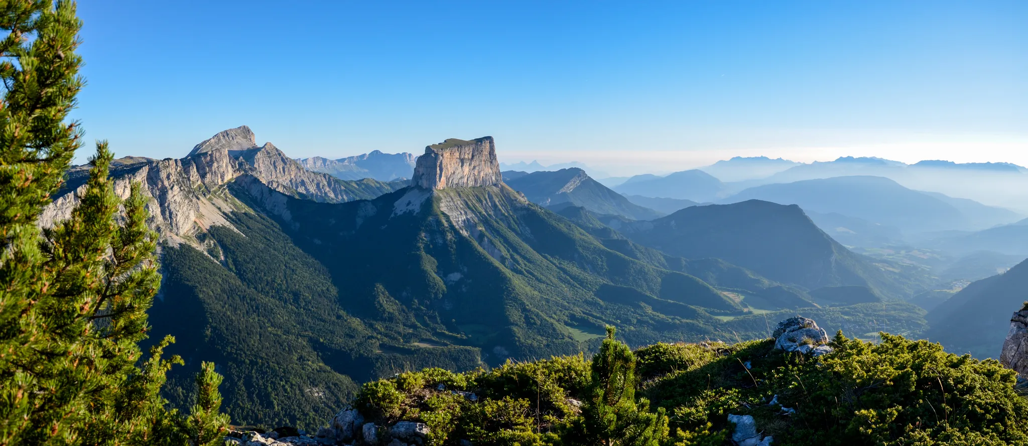
Grand Tour of the Vercors – first section

Écrins, Belledonne and Vercors – HexaTrek, Hautes-Alpes

France — two weeks of hiking at its best!
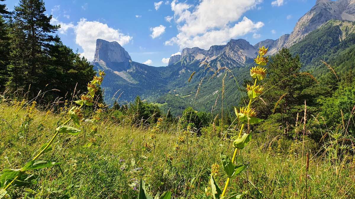
High altitude adventure — hiking across the high plateaus of the Vercors
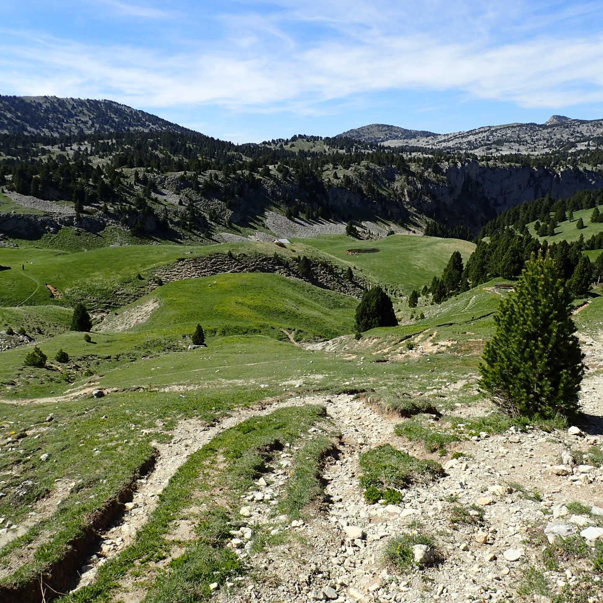
Road Cycling Routes around Réserve naturelle des Hauts Plateaux du Vercors
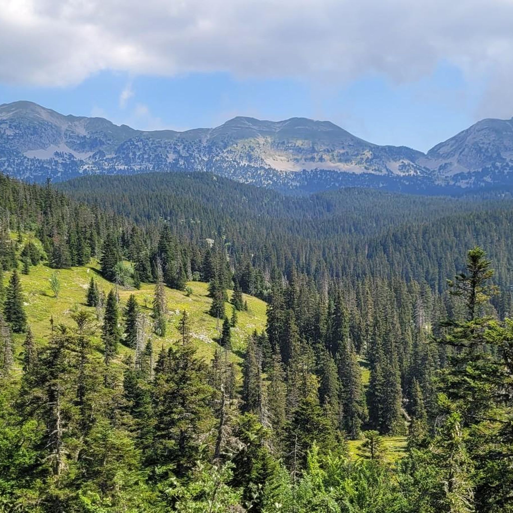
Hiking around Réserve naturelle des Hauts Plateaux du Vercors
MTB Trails around Réserve naturelle des Hauts Plateaux du Vercors

Gravel biking around Réserve naturelle des Hauts Plateaux du Vercors
Mountain Hikes around Réserve naturelle des Hauts Plateaux du Vercors
Cycling around Réserve naturelle des Hauts Plateaux du Vercors
Other adventures around Réserve naturelle des Hauts Plateaux du Vercors


Tips from the Community

Breathtaking view, you never get tired of it!
0
0
Stunning view and perfectly marked trail. Remember to bring water, there are no springs on the plateau.
0
0

Bring enough water... only one water source on the loop.
0
0

It is an iconic mountain of the Vercors. It is the cradle of mountaineering. This mountain was climbed using wooden ladders.
0
0

As pretty at the top as at the bottom, lots of ways to get to the top, accessible for all levels (not technical but lots of elevation gain depending on your starting point) but it's worth it!
1
0


Breathtaking view of the two very distinctive peaks.
1
0
Frequently Asked Questions
How many running routes are available in the Réserve naturelle des Hauts Plateaux du Vercors?
The Réserve naturelle des Hauts Plateaux du Vercors offers a vast network of trails, with over 380 running routes documented on komoot. These range from easy paths to very challenging ascents, catering to all levels of runners.
What kind of terrain can I expect on the jogging trails in the Vercors?
You can expect a highly diverse terrain, from expansive alpine pastures and dense mountain pine forests to dramatic limestone cliffs. The reserve features significant elevation changes, with altitudes ranging from 1050 meters to the Grand Veymont at 2,341 meters, offering varied landscapes for your run.
Are there easy running paths suitable for beginners or families?
Yes, while many routes are challenging, there are 16 easy running paths available. These routes provide a gentler introduction to the reserve's natural beauty, perfect for those seeking a less strenuous jog or a family outing.
Are there any circular running routes in the Réserve naturelle des Hauts Plateaux du Vercors?
Absolutely. Many of the routes are designed as loops, allowing you to start and finish at the same point. For example, the High valley – View of Mont Aiguille loop from Richardière is a 13.5 km challenging route that offers stunning views.
What are some scenic viewpoints or natural attractions to look out for while running?
The reserve is rich in natural beauty. You can find routes with views of iconic peaks like Grand Veymont, the highest point. Other notable features include the Pas des Chattons viewpoint and the Baume Rousse Spring. The Views of Mont Aiguille – Bachassons Pass loop from Mont Aiguille offers spectacular vistas.
Are there challenging routes for experienced trail runners?
Yes, the Réserve naturelle des Hauts Plateaux du Vercors is an excellent destination for experienced trail runners, with 222 routes rated as difficult. These often involve significant elevation gain and technical sections. An example is the Bachassons Pass – Aupet Pass loop from Richardière, a demanding 21.4 km run with over 1300 meters of ascent.
What do other runners enjoy most about jogging in the Réserve naturelle des Hauts Plateaux du Vercors?
The trails in this region are highly rated by the komoot community, with an average score of 4.5 stars from over 100 reviews. Runners frequently praise the immersive wilderness experience, the diverse and pristine landscapes, and the sense of tranquility away from human presence.
Are there any huts or shelters along the routes for longer runs or multi-day excursions?
Yes, the reserve features a few un-guarded huts that provide basic shelter, which can be useful for longer runs or multi-day explorations. The Pré Peyret Hut and Cabane de Carette are examples of such shelters within the reserve.
What is the best time of year for trail running in the Vercors?
The best time for trail running generally depends on the specific route and altitude. Spring and autumn offer pleasant temperatures and vibrant scenery. Summer is also popular, especially at higher altitudes, but be prepared for warmer conditions. Winter running is possible but requires appropriate gear and awareness of snow conditions, as the reserve can experience significant snowfall.
Can I bring my dog on the running trails in the Réserve naturelle des Hauts Plateaux du Vercors?
As a nature reserve, specific regulations regarding dogs may apply to protect wildlife. It's generally recommended to keep dogs on a leash to avoid disturbing the rich biodiversity, which includes marmots, chamois, and various bird species. Always check local signage or official park guidelines before heading out with your dog.
Are there long-distance running options, like parts of the Grande Traversée du Vercors (GTV) or GR-91?
Yes, the reserve is crisscrossed by extensive trails, including sections of the Grande Traversée du Vercors (GTV) and the GR-91. These long-distance paths offer excellent opportunities for extended trail running, allowing you to explore the heart of this vast wilderness.
How accessible are the starting points for these routes by public transport or car?
While the Réserve naturelle des Hauts Plateaux du Vercors emphasizes a true wilderness experience with an absence of paved roads within its core, access points to the reserve's edges are typically reachable by car. Parking is usually available at trailheads or nearby villages. Public transport options might be limited, so planning your journey in advance is advisable.
Most popular routes around Réserve naturelle des Hauts Plateaux du Vercors
Most popular attractions around Réserve naturelle des Hauts Plateaux du Vercors

Get inspired with the komoot mobile app


Explore more
Browse the best Running Trails & Routes in other regions.
