The best mountain hikes around Réserve Naturelle de la Bailletaz
4.8
(8)
46
hikers
9
hikes
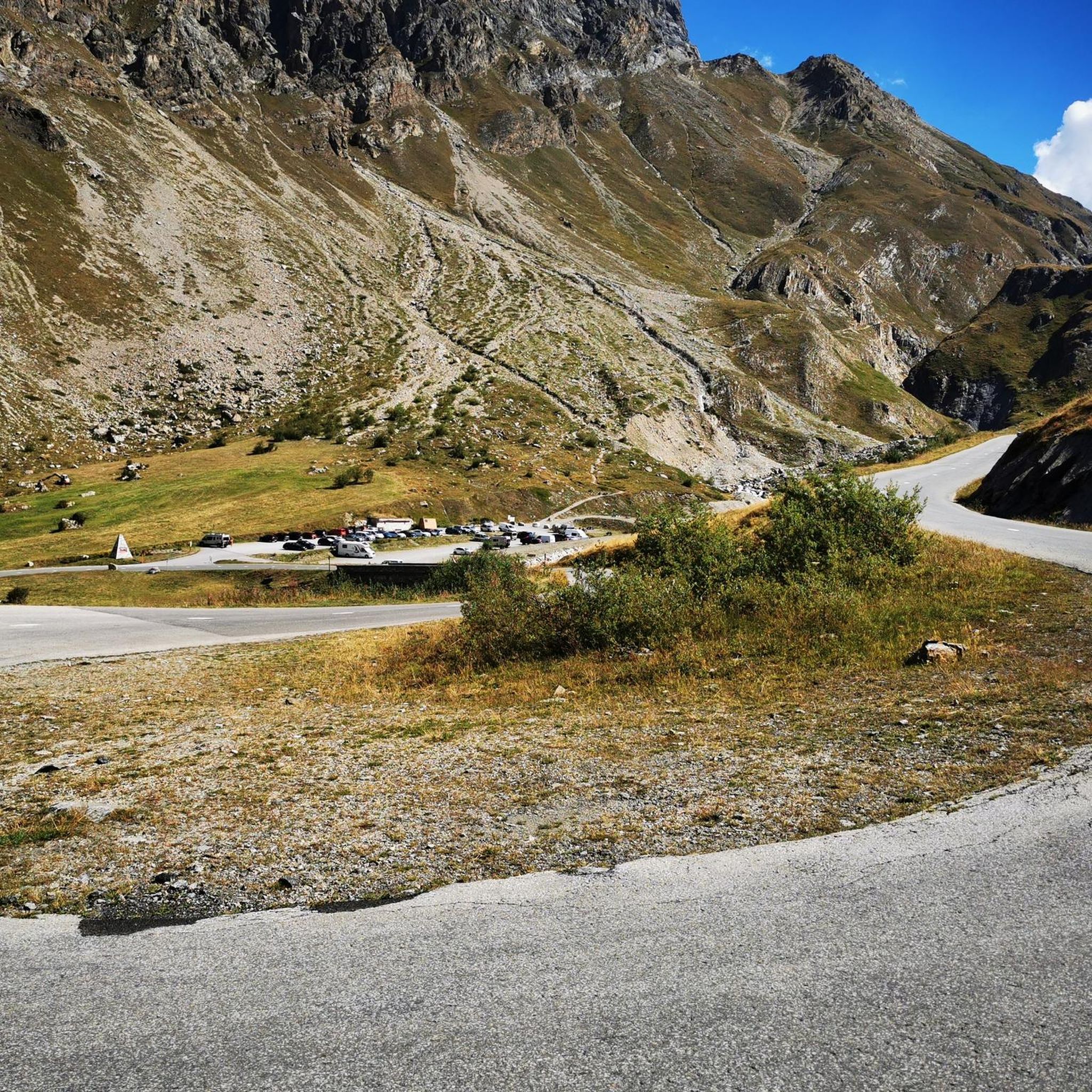
Mountaineering routes around Réserve Naturelle de la Bailletaz traverse a high-mountain landscape with elevations ranging from 2,100 meters to 3,602 meters. The terrain is characterized by ice, scree, and alpine pastures, with approximately 55% of the reserve covered by rocky environments, including cliffs, scree slopes, and glaciers. This area, adjacent to the Grande Sassière and near the Italian border, forms part of a vast protected region encompassing the Vanoise and Gran Paradiso National Parks.
Best mountaineering routes around Réserve Naturelle…
Last updated: July 15, 2026
5.0
(2)
5
hikers
6.65km
03:35
580m
580m
Hard mountaineering route. Good fitness required. Sure-footedness, sturdy shoes and alpine experience required.
4
hikers
9.15km
03:13
490m
490m
Moderate mountaineering route. Good fitness required. Mostly accessible paths. Sure-footedness required.

Sign up for free
4.5
(2)
8
hikers
6.31km
03:10
490m
490m
Hard mountaineering route. Good fitness required. Sure-footedness, sturdy shoes and alpine experience required.
4
hikers
16.7km
07:19
1,000m
1,000m
Hard mountaineering route. Very good fitness required. Mostly accessible paths. Sure-footedness required.
5.0
(1)
8
hikers
10.3km
05:10
710m
710m
Hard mountaineering route. Very good fitness required. Sure-footedness, sturdy shoes and alpine experience required.
Get access to more routes and recommendations from other explorers.
Sign up for free
Already have an account?
Our route recommendations are based on thousands of hikes, rides, and runs completed by other people on komoot.
Start today with a free account
Your next adventure awaits.
Login or Signup
Popular around Réserve Naturelle de la Bailletaz
Tips from the Community


The Croix de Combefolle, located in the Beaufortain mountains, offers an exceptional panorama of the surrounding peaks and green valleys. Perched at the top of a hiking trail, this wooden cross marks a place of tranquility and contemplation. The view extends over the Alps, with snow-capped peaks and mountain pastures as a backdrop.
0
0

Very beautiful view of Mont Blanc with Lake Chevril in the foreground. Magnificent.
0
0
Very pretty path along a cliff overlooking the Isère, which offers very pretty views. The path is safe, equipped with cables to help those who have a fear of heights.
0
0

Always a very warm welcome. And we eat very well.
0
0

This area is dotted with both natural and artificial lakes, which make it a unique spectacle, especially when seen from the surrounding peaks.
3
0

Beautiful summit, easy to reach from the pass road
0
0

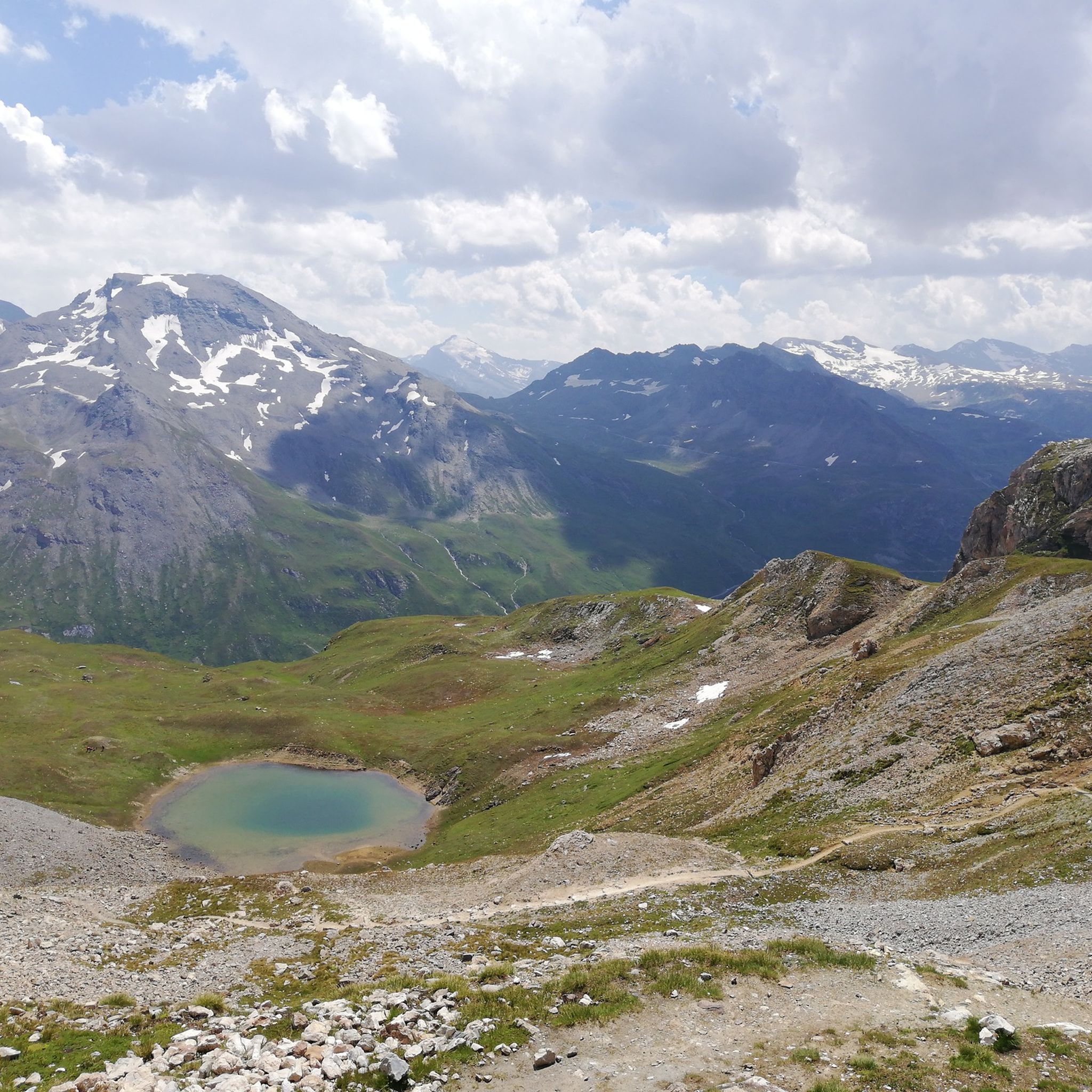
Beautiful alpine lakes reachable by various paths and perfectly connected with the famous Nivolet pass.
1
0
Frequently Asked Questions
How many mountaineering routes are available in Réserve Naturelle de la Bailletaz?
There are over 10 distinct mountaineering routes in Réserve Naturelle de la Bailletaz, offering a range of experiences from moderate to difficult. The area is known for its challenging high-mountain terrain, glaciers, and rocky landscapes.
Are there any circular mountaineering routes in the reserve?
Yes, several routes are designed as loops, allowing you to start and finish at the same point. For example, you could explore the Mountaineering loop from Réserve naturelle de la Bailletaz, a challenging 7.7-mile (12.4 km) route, or the Bois de Laye loop from Funival, which is a moderate 5.5-mile (8.9 km) option.
What are the difficulty levels of mountaineering routes in Réserve Naturelle de la Bailletaz?
The routes in Réserve Naturelle de la Bailletaz primarily range from moderate to difficult. You'll find 4 moderate routes and 7 difficult routes, characterized by significant elevation gains, rocky environments, and high-alpine conditions. Only one route is classified as easy, making this area particularly suited for those seeking a challenge.
Can I find routes suitable for beginners in this region?
While the Réserve Naturelle de la Bailletaz is largely known for its challenging high-mountain terrain, there is one route classified as easy. However, most routes are moderate to difficult, featuring considerable elevation changes and rugged landscapes. Beginners should choose carefully and consider guided options or routes with less technical demands.
Are there routes with significant elevation gain for advanced mountaineers?
Absolutely. The reserve's topography, with elevations ranging from 2,100 meters to 3,602 meters, offers demanding ascents. Routes like the View on the waterfall loop from Manchet Express feature nearly 1,000 meters of elevation gain, providing a substantial challenge for experienced mountaineers. The region is ideal for those seeking high-altitude pursuits.
What kind of wildlife can I expect to see while mountaineering?
The Réserve Naturelle de la Bailletaz is rich in alpine wildlife. Keep an eye out for marmots, varying hares, Alpine ptarmigan, and rock partridge. The rocky terrain, especially on south-facing slopes, provides crucial refuge for chamois and Alpine ibex. Golden eagles and bearded vultures can also be spotted soaring overhead.
Are there any specific natural attractions or viewpoints along the routes?
Yes, the reserve boasts spectacular natural features. You'll encounter vast glaciers and eternal snows, rugged rocky terrain, and diverse alpine ecosystems. A notable focal point is Lac de la Bailletaz, a tranquil lake that lends its name to the reserve. Many routes offer expansive views of the surrounding high-mountain landscape, including glimpses of the Grande Sassière and the Italian border.
What are the regulations regarding dogs in the Réserve Naturelle de la Bailletaz?
As a protected natural reserve, specific regulations regarding dogs are often in place to protect wildlife and the fragile alpine environment. It is generally advisable to keep dogs on a leash or, in some sensitive areas, they may not be permitted at all. Always check the official reserve guidelines before bringing your dog.
Is public transport available to access the mountaineering routes?
Access to the Réserve Naturelle de la Bailletaz often involves reaching nearby villages or trailheads. For example, Le Fornet is a common starting point, and public transport options from Val-d'Isère may be available to reach such access points. It's recommended to check local bus schedules or shuttle services for the most current information.
Where can I park when visiting the Réserve Naturelle de la Bailletaz for mountaineering?
Parking availability will depend on your chosen trailhead. Common access points like Le Fornet or areas near ski lifts (e.g., Funival, Manchet Express) often have designated parking areas. Due to the high-mountain environment, parking can sometimes be limited, especially during peak season, so plan to arrive early.
What is the best time of year for mountaineering in this region?
The best time for mountaineering in Réserve Naturelle de la Bailletaz is typically during the summer months, from late June to early September, when snowmelt allows for better access to high-altitude trails and glaciers. Outside of this period, conditions can be challenging due to snow, ice, and rapidly changing weather.
Are there any routes that feature waterfalls?
Yes, the View on the waterfall loop from Manchet Express is a difficult 10.4-mile (16.7 km) route that specifically highlights a waterfall, offering a scenic element to your mountaineering experience amidst expansive mountain views.
What do other mountaineers enjoy the most about mountaineering in Réserve Naturelle de la Bailletaz?
The area is highly rated by the komoot community, with an average score of 4.8 stars from over 14 reviews. Reviewers often praise the spectacular high-mountain landscape, the challenging nature of the routes, and the authentic alpine adventure offered by its glaciers, scree, and diverse natural features.
Most popular routes around Réserve Naturelle de la Bailletaz

Get inspired with the komoot mobile app


Explore more
Browse the best Mountain Hikes & Routes in other regions.
