The best cycling routes around Réserve Naturelle des Hauts de Villaroger
4.5
(232)
10,874
riders
103
rides
Touring cycling around Réserve Naturelle des Hauts de Villaroger offers routes through alpine valleys and challenging mountain passes. The region is characterized by significant elevation changes, dense forests, and open mountain landscapes. These routes often follow winding roads that connect small villages and provide views of the surrounding peaks. The terrain is generally demanding, catering to cyclists seeking substantial climbs and descents.
Best touring cycling routes around Réserve Naturelle des Hauts de Villaroger
- The most popular touring cycling route is…
Last updated: October 21, 2026
4.9
(7)
156
riders
25.9km
01:52
550m
550m
Hard bike ride. Very good fitness required. Mostly paved surfaces. Suitable for all skill levels.
86
riders
46.9km
03:51
1,490m
1,490m
Hard bike ride. Very good fitness required. Mostly paved surfaces. Suitable for all skill levels.

5.0
(1)
40
riders
14.3km
01:35
510m
510m
Hard bike ride. Very good fitness required. Mostly paved surfaces. Suitable for all skill levels.
16
riders
Hard bike ride. Very good fitness required. Mostly paved surfaces. Suitable for all skill levels.
16
riders
16.5km
01:17
430m
430m
Moderate bike ride. Good fitness required. Mostly paved surfaces. Suitable for all skill levels.
Get access to more routes and recommendations from other explorers.
Already have an account?
Our route recommendations are based on thousands of hikes, rides, and runs completed by other people on komoot.
Start today with a free account
Your next adventure awaits.
Popular around Réserve Naturelle des Hauts de Villaroger
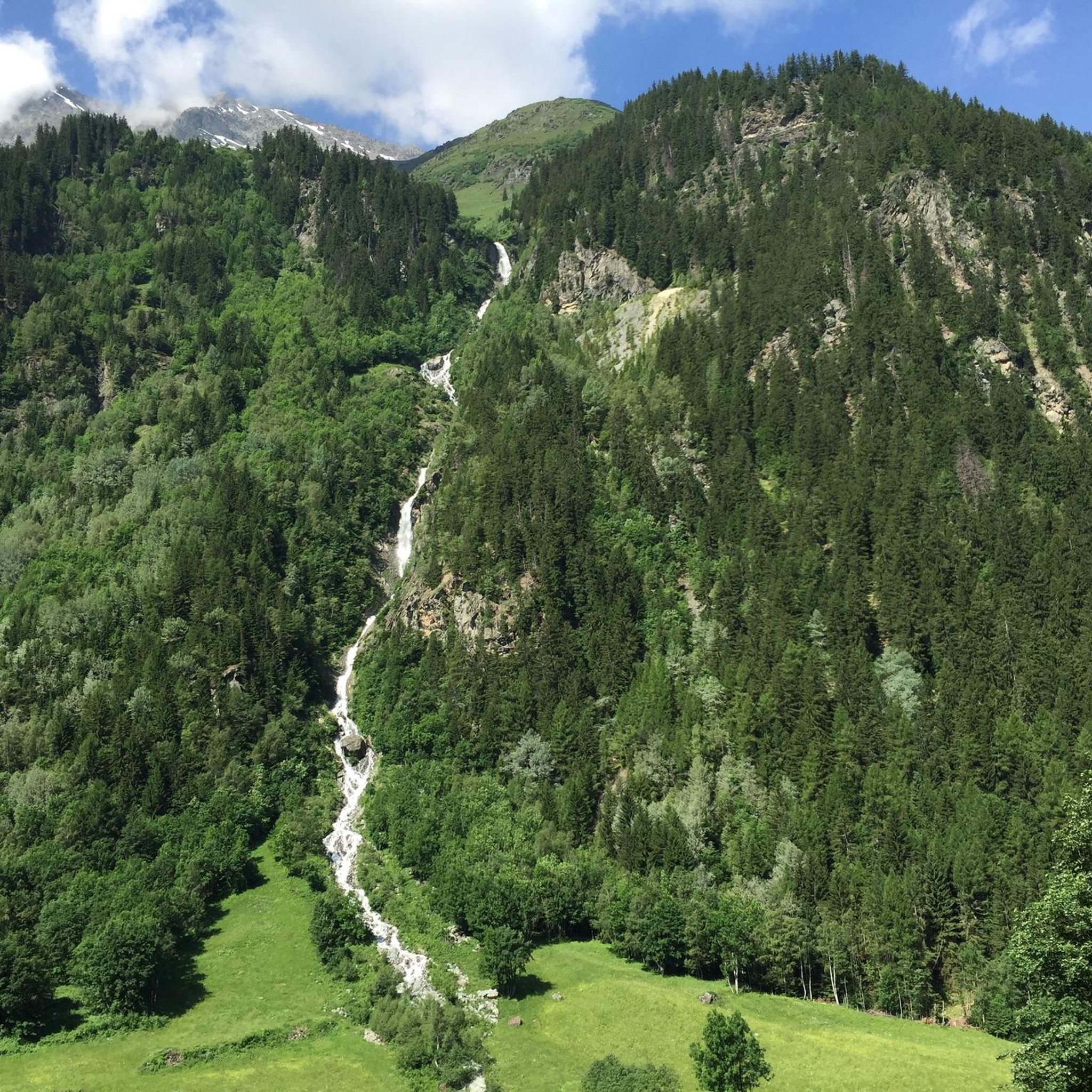
Road Cycling Routes around Réserve Naturelle des Hauts de Villaroger
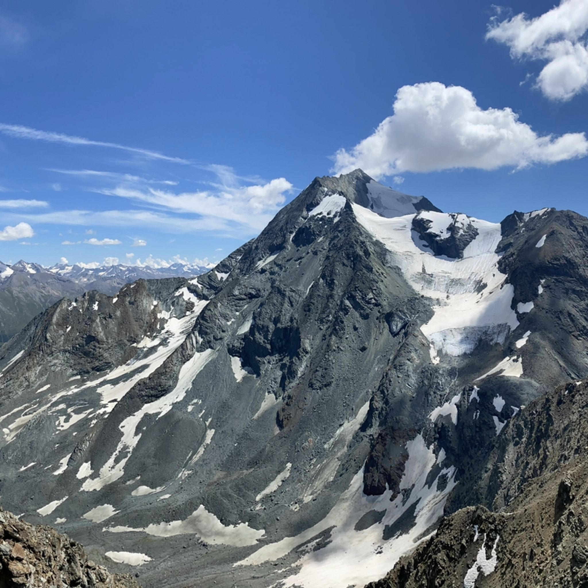
Hiking around Réserve Naturelle des Hauts de Villaroger
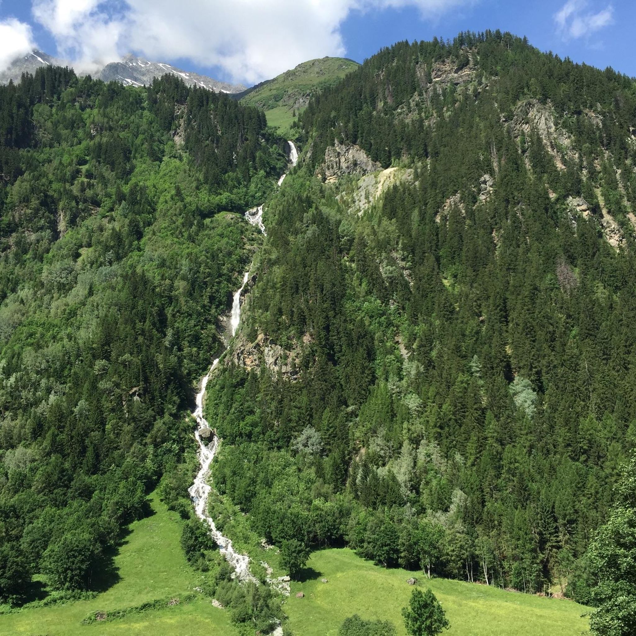
MTB Trails around Réserve Naturelle des Hauts de Villaroger
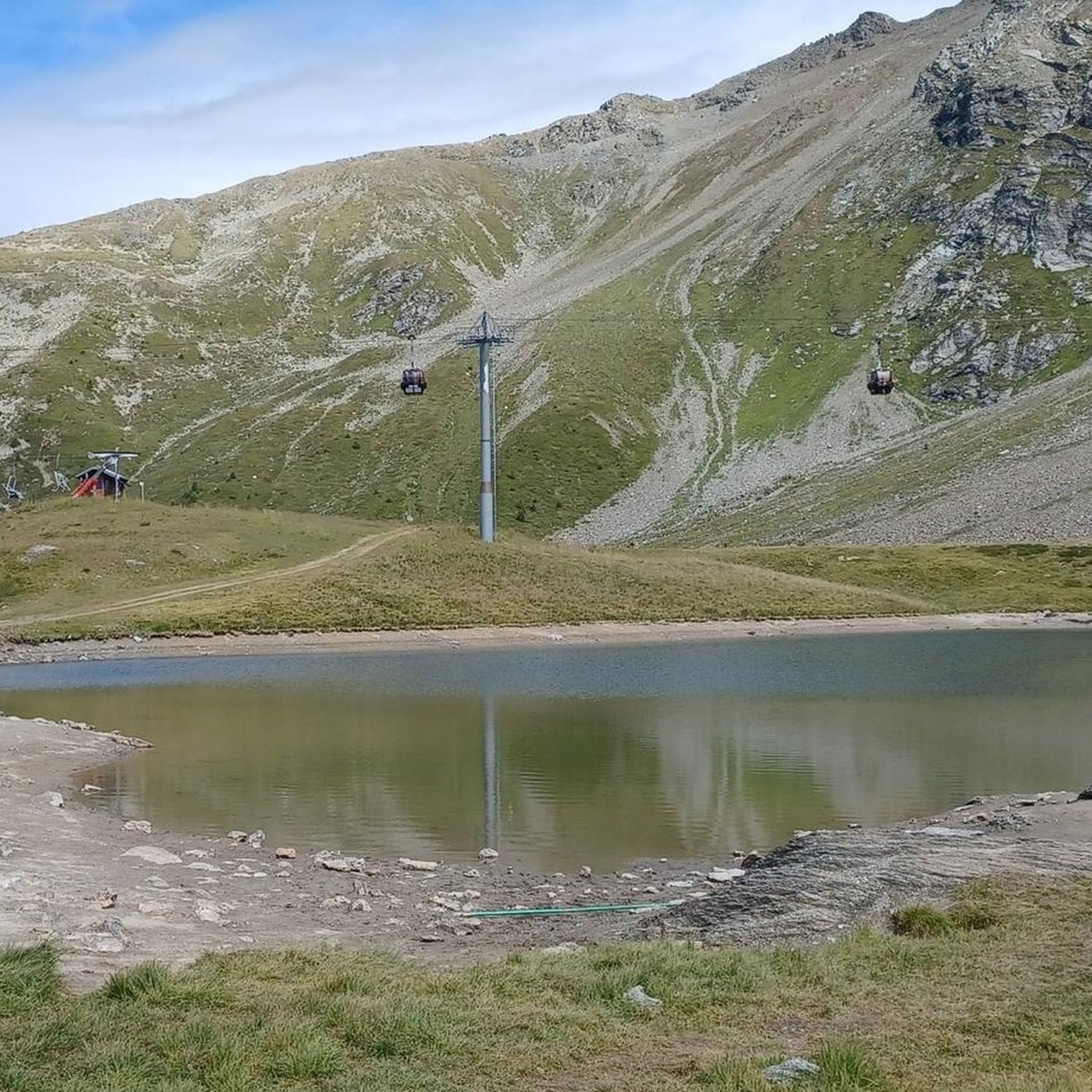
Running Trails around Réserve Naturelle des Hauts de Villaroger
Mountain Hikes around Réserve Naturelle des Hauts de Villaroger

Gravel biking around Réserve Naturelle des Hauts de Villaroger
Tips from the Community

For centuries, Jupiter's Column marked this historic Alpine pass. According to tradition, it was topped by a statue of the god Jupiter; today it supports that of Saint Bernard, testifying to the profound religious and cultural changes that have affected the hill over the centuries.
0
0

even though the Saint Bernard dogs originally come from the Great St. Bernard, they have also been naturalized here and are intended to attract tourists.
0
0
The pink road immediately stands out!!!
0
0

Cycle path in perfect condition.
0
0
This section is beautiful. If done downhill, you have to consider that the surface is not the best.
0
0

Small village on the road to Val d'Isere.
1
0
Frequently Asked Questions
What is the general difficulty of touring cycling routes in Réserve Naturelle des Hauts de Villaroger?
The touring cycling routes in Réserve Naturelle des Hauts de Villaroger are generally demanding, characterized by significant elevation changes and mountain passes. Out of 102 routes, 72 are rated as difficult, 21 as moderate, and 9 as easy. This region caters well to cyclists seeking substantial climbs and descents.
How many touring cycling routes are available in Réserve Naturelle des Hauts de Villaroger?
There are over 100 touring cycling routes available in Réserve Naturelle des Hauts de Villaroger. These routes offer a variety of experiences through alpine valleys, dense forests, and open mountain landscapes.
When is the best time of year for touring cycling in Réserve Naturelle des Hauts de Villaroger?
The best time for touring cycling in Réserve Naturelle des Hauts de Villaroger is typically from late spring to early autumn (June to September). During these months, mountain passes are usually clear of snow, and the weather is more stable, offering ideal conditions for exploring the alpine terrain.
Are there any family-friendly touring bike routes in Réserve Naturelle des Hauts de Villaroger?
While many routes feature significant climbs, there are some easier options suitable for families or those new to touring cycling. For instance, routes closer to the valley floor or along specific river paths might offer gentler gradients. Look for routes rated as 'easy' in the komoot app to find suitable options.
What options are there for beginner touring cyclists in Réserve Naturelle des Hauts de Villaroger?
Beginner touring cyclists can find 9 routes rated as 'easy' within the Réserve Naturelle des Hauts de Villaroger area. These routes typically have less elevation gain and shorter distances, providing a good introduction to the region's cycling without the intensity of the more challenging mountain passes.
Where can I find challenging touring cycling routes in Réserve Naturelle des Hauts de Villaroger?
For advanced cyclists seeking a challenge, Réserve Naturelle des Hauts de Villaroger offers 72 difficult routes. A notable option is the Iseran Pass – Lake Chevril loop from Sainte-Foy-Tarentaise, which covers 47.9 miles (77.1 km) and includes a high mountain pass with nearly 2000 meters of elevation gain.
What do other touring cyclists enjoy most about touring cycling in Réserve Naturelle des Hauts de Villaroger?
The area is highly rated by the komoot community, with an average score of 4.6 stars from over 130 reviews. Touring cyclists often praise the challenging climbs, the panoramic views from mountain passes, and the diverse alpine scenery that includes dense forests and open landscapes.
Are there circular touring bike routes available in Réserve Naturelle des Hauts de Villaroger?
Yes, many touring cycling routes in Réserve Naturelle des Hauts de Villaroger are designed as loops, allowing you to start and finish at the same point. Examples include the Ascent to La Rosière loop from Sainte-Foy-Tarentaise or the Le Reclus Campsite loop from Sainte-Foy-Tarentaise, which offer varied alpine terrain.
Is public transport available to access touring cycling routes near Villaroger?
Public transport options in the high alpine regions like Villaroger can be limited, especially for direct access to trailheads. However, regional bus services or train connections to larger towns like Bourg-Saint-Maurice might be available, from where you could cycle to the reserve. It's advisable to check local transport schedules in advance.
Where can I find parking for touring bike trails in Réserve Naturelle des Hauts de Villaroger?
Parking for touring bike trails is typically available in the villages surrounding the reserve, such as Sainte-Foy-Tarentaise or Bourg-Saint-Maurice. Many routes, like the Bourg-Saint-Maurice – Bourg-Saint-Maurice Railway Station loop, start and end in areas with designated parking facilities or near train stations.
Can I go touring cycling in Réserve Naturelle des Hauts de Villaroger during winter?
Winter touring cycling in Réserve Naturelle des Hauts de Villaroger is generally not recommended due to heavy snowfall, icy conditions, and the closure of many mountain passes. The terrain becomes challenging and potentially dangerous for cycling. The region is primarily a winter sports destination during these months.
What should I wear for touring cycling in Réserve Naturelle des Hauts de Villaroger during summer?
Even in summer, weather in the Réserve Naturelle des Hauts de Villaroger can be unpredictable due to the high altitude. It's best to wear layers, including a moisture-wicking base layer, a cycling jersey, and a windproof/waterproof jacket. Don't forget gloves, sunglasses, and a helmet. Temperatures can vary significantly between valleys and mountain passes.
Most popular routes around Réserve Naturelle des Hauts de Villaroger

Get inspired with the komoot mobile app


Explore more
Browse the best Cycling routes in other regions.
