The best cycling routes around Réserve naturelle du vallon de Bérard
4.3
(185)
4,944
riders
44
rides
Touring cycling around Réserve naturelle du vallon de Bérard offers routes through a high mountain environment characterized by ancient glacial cirques and peaks approaching 3,000 meters. The landscape features relict glaciers, moraines, and natural forests of spruce and larch. Cyclists navigate terrain ranging from 1,700 meters to nearly 3,000 meters, with views of the Aiguilles Rouges massif and the Mont-Blanc massif. The area's geology consists primarily of siliceous and crystalline rocks, providing a challenging and varied cycling experience.
Best touring cycling routes around Réserve naturelle du vallon de Bérard
- The most popular touring cycling route is Col des Montets – View of Bosson glacier loop from Le Buet, an 80.5 miles (129.56 km) trail that takes 9 hours 52 minutes to complete. This difficult route offers extensive climbs and panoramic views of the high alpine landscape.
- Another top favourite among local touring cyclists is Col des Montets – Col de la Forclaz (Valais) loop from Argentière, a difficult 40.4 miles (64.95 km) path. This route crosses into Valais, providing diverse mountain scenery and significant elevation changes.
- Local touring cyclists also love the Argentières – Argentière Village loop from Argentière, a 6.4 miles (10.3 km) trail leading through alpine foothills, often completed in about 1 hour 1 minute.
- Touring cycling around Réserve naturelle du vallon de Bérard is defined by high mountain passes, glacial valleys, and dense coniferous forests. The network offers options for different ability levels, from moderate loops to challenging multi-hour routes.
- The routes in Réserve naturelle du vallon de Bérard are highly rated by the komoot community with an average score of 4.5 stars from over 130 reviews. More than 5000 touring cyclists have used komoot to explore Réserve naturelle du vallon de Bérard's varied terrain.
Last updated: August 27, 2026
4.7
(3)
69
riders
129km
09:51
3,200m
3,200m
Hard bike ride. Very good fitness required. Mostly paved surfaces. Suitable for all skill levels.
8
riders
8.81km
00:43
130m
140m
Easy bike ride. Great for any fitness level. Mostly paved surfaces. Suitable for all skill levels.

Sign up for free
6
riders
8.27km
00:42
180m
190m
Moderate bike ride. Good fitness required. Mostly paved surfaces. Suitable for all skill levels.
4.6
(7)
240
riders
61.7km
05:13
2,070m
2,070m
Hard bike ride. Very good fitness required. Mostly paved surfaces. Suitable for all skill levels.
4.3
(3)
180
riders
29.4km
02:15
720m
720m
Hard bike ride. Very good fitness required. Mostly paved surfaces. Suitable for all skill levels.
Get access to more routes and recommendations from other explorers.
Sign up for free
Already have an account?
Our route recommendations are based on thousands of hikes, rides, and runs completed by other people on komoot.
Start today with a free account
Your next adventure awaits.
Login or Signup
Popular around Réserve naturelle du vallon de Bérard
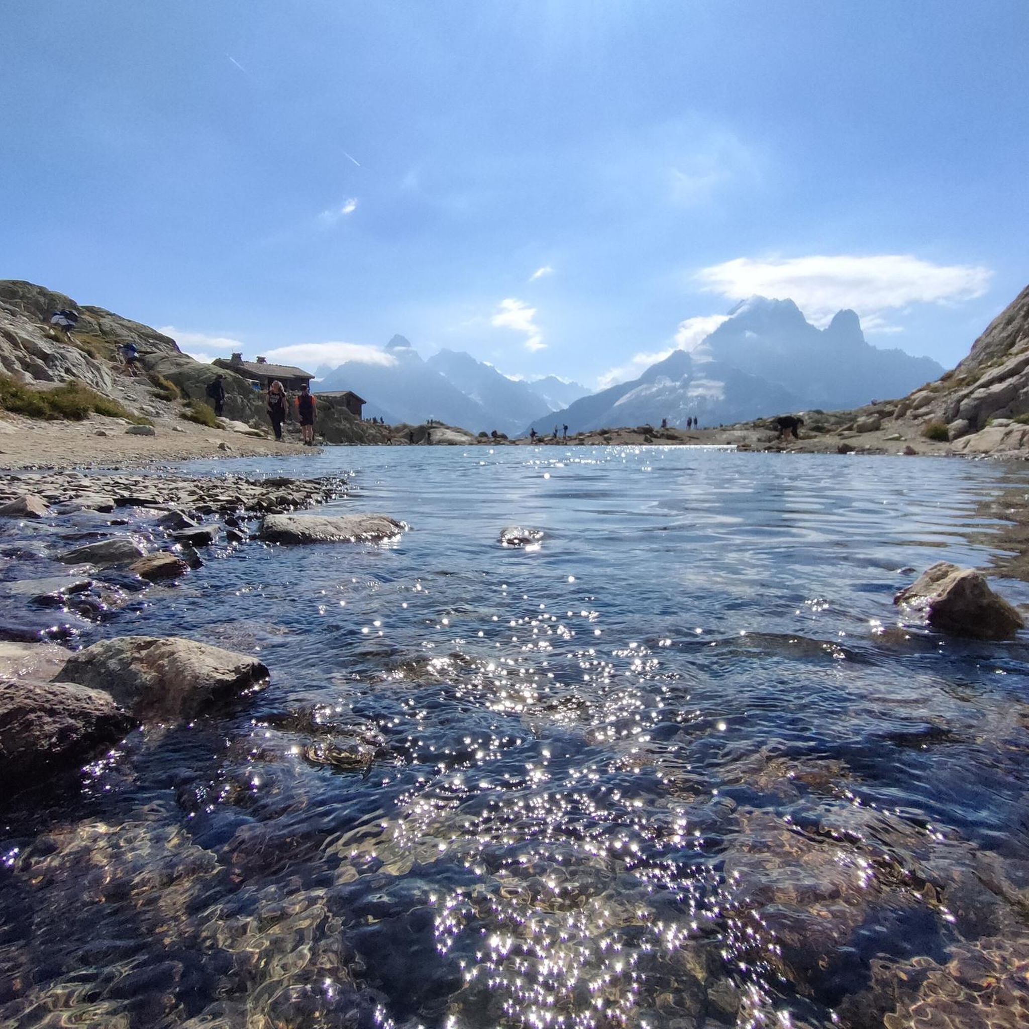
MTB Trails around Réserve naturelle du vallon de Bérard
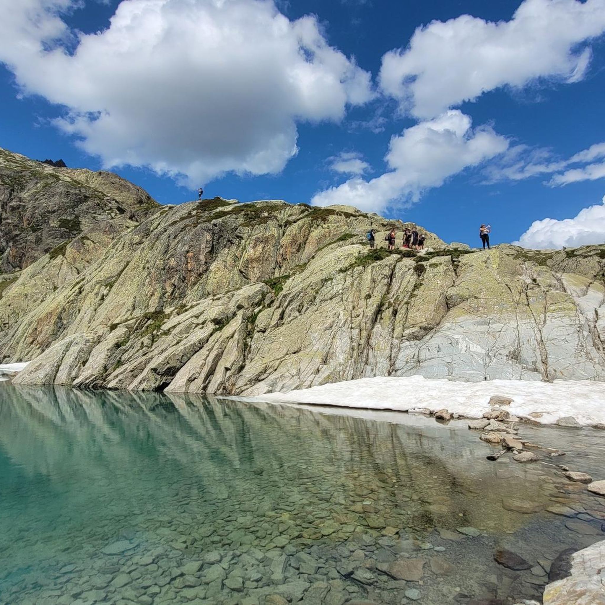
Road Cycling Routes around Réserve naturelle du vallon de Bérard
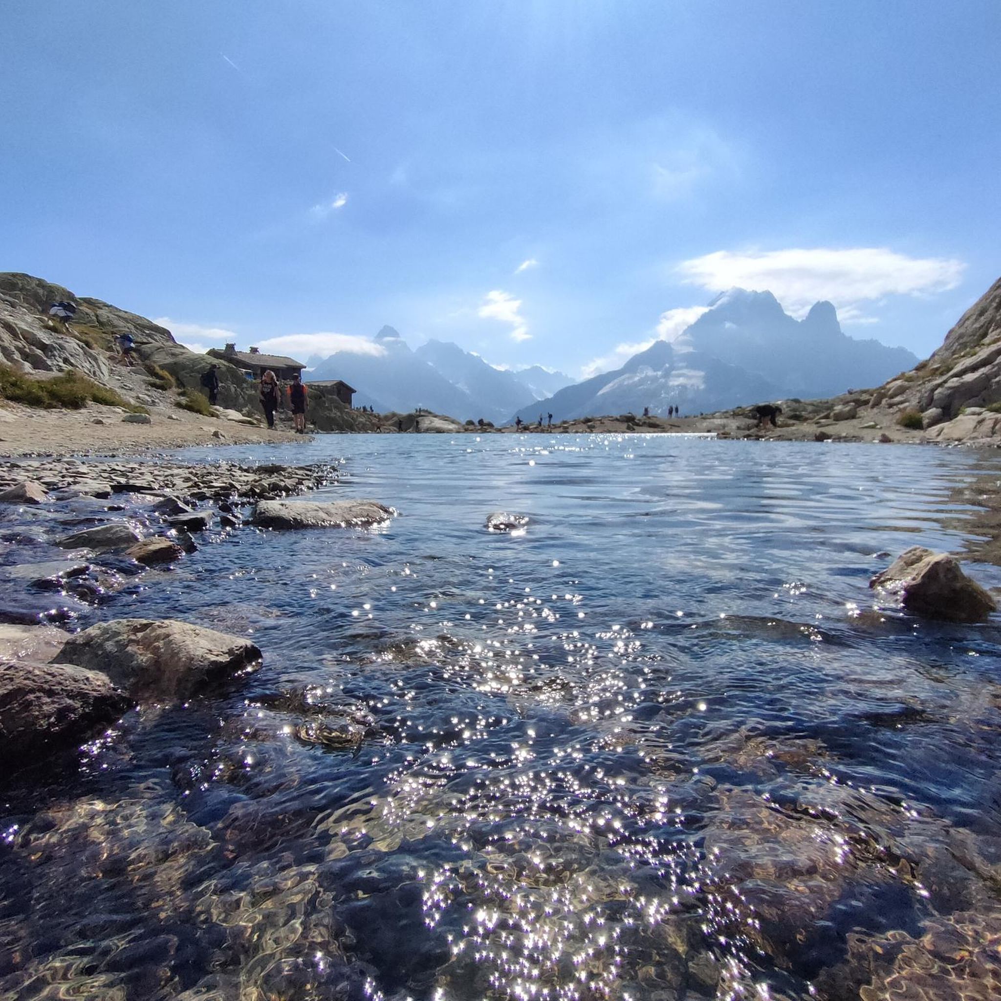
Running Trails around Réserve naturelle du vallon de Bérard
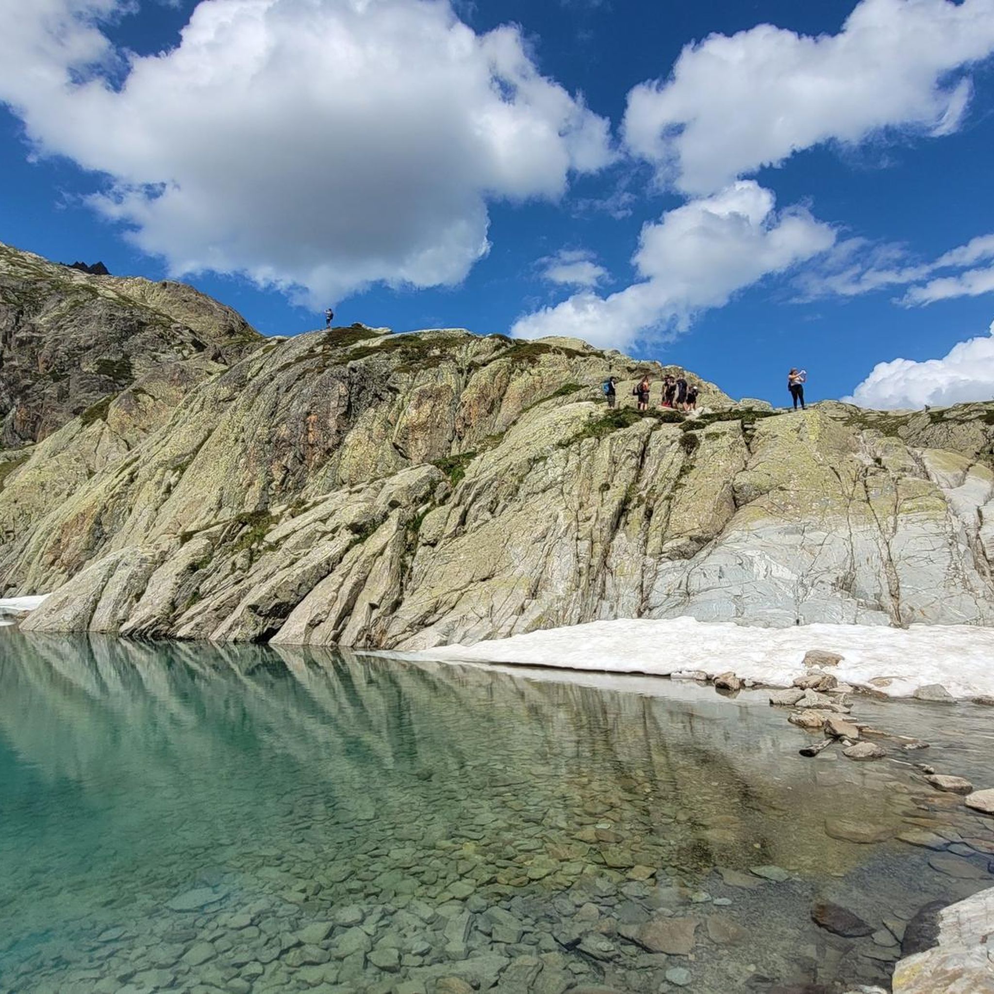
Hiking around Réserve naturelle du vallon de Bérard

Mountain Hikes around Réserve naturelle du vallon de Bérard

Gravel biking around Réserve naturelle du vallon de Bérard
Tips from the Community


Argentière is a village located at an altitude of 1,250 meters. In winter, it is a lively ski resort.
0
0

Unique site in France with a succession of exceptional visuals.
1
0

Martigny, with its Roman name Octodure, is on the gateway from Italy to the capital of Helvetia, Aventicum (Avenche). Martigny is a magnificent town, a blend of southern and Alpine landscapes. A must-see: the Place Centrale!
1
0


Charming passage in the old town of Martigny
1
0
Frequently Asked Questions
How many touring cycling routes are available around Réserve naturelle du vallon de Bérard?
There are over 50 touring cycling routes available in the wider Réserve naturelle du vallon de Bérard area. These routes cater to various skill levels, from moderate loops to challenging multi-hour adventures, offering diverse experiences across the high mountain environment.
What kind of terrain can I expect on touring cycling routes in the Réserve naturelle du vallon de Bérard area?
The terrain around Réserve naturelle du vallon de Bérard is characterized by a high mountain environment, featuring ancient glacial cirques, peaks approaching 3,000 meters, and natural forests of spruce, larch, and Arolla pine. You'll encounter significant elevation changes, with routes navigating between 1,700 m and nearly 3,000 m, offering a challenging and varied cycling experience on siliceous and crystalline rock formations.
Are there any easy or moderate touring cycling routes for beginners or those seeking a less strenuous ride?
Yes, while many routes are challenging, there are options for varying abilities. The area offers 18 easy and 16 moderate touring cycling routes. For a moderate option, consider the Col des Montets loop from Le Buet, a 6.3-mile (10.16 km) trail that offers notable elevation gain but is generally completed in under an hour.
What are some scenic highlights or natural features I might see along the touring cycling routes?
Cycling in this region offers breathtaking views of the Aiguilles Rouges massif and the Mont-Blanc massif. You'll pass through diverse landscapes including natural forests, vast rhododendron bushes, and alpine lawns. The area is also known for its rich flora and fauna, and you might spot high-mountain animals like ibex or chamois. Some routes may also lead past streams and waterfalls, such as those fed by the Eau de Bérard.
What is the best time of year for touring cycling around Réserve naturelle du vallon de Bérard?
The best time for touring cycling in the high mountain environment around Réserve naturelle du vallon de Bérard is typically during the warmer months, from late spring to early autumn. During this period, mountain passes are generally clear of snow, and weather conditions are more favorable for cycling, allowing access to the full range of routes and stunning alpine scenery.
Are there any circular touring cycling routes available?
Yes, many routes in the area are designed as loops, allowing you to start and finish in the same location. An example of a challenging circular route is the Col des Montets – Col de la Forclaz (Valais) loop from Argentière, which is 40.4 miles (64.95 km) long and crosses into Valais, offering diverse mountain scenery.
Can I find routes that offer significant climbs and panoramic views?
Absolutely. The region is renowned for its challenging climbs and spectacular panoramic views. For an extensive ride with significant elevation gain and sweeping vistas, consider the Col des Montets – View of Bosson glacier loop from Le Buet. This difficult 80.5-mile (129.56 km) route offers extensive climbs and unparalleled views of the high alpine landscape.
What do other touring cyclists say about the routes in this region?
The touring cycling routes around Réserve naturelle du vallon de Bérard are highly rated by the komoot community, with an average score of 4.5 stars from over 140 reviews. More than 5,000 touring cyclists have used komoot to explore the varied terrain, often praising the challenging nature of the routes, the stunning alpine scenery, and the sense of accomplishment after completing a ride.
Are there any touring cycling routes that cross into neighboring regions or countries?
Yes, some routes in the area extend beyond the immediate vicinity of the Réserve naturelle du vallon de Bérard. For instance, the Col des Montets – Col de la Forclaz (Valais) loop from Argentière crosses into the Swiss Valais, providing an opportunity to experience diverse mountain scenery and significant elevation changes across borders.
Are there any routes suitable for families or those looking for a less intense experience?
While many routes are challenging, there are options for a less intense experience. For a route that offers a good balance of challenge and accessibility, consider the Wood bridge at Le Tour – Col des Montets loop from Argentière. This 14.2-mile (22.79 km) route, though rated difficult, offers a shorter distance than some of the more extensive tours, making it a good option for families with older children or those looking for a moderate challenge.
Where can I find parking for touring cycling routes in the area?
Parking is generally available in the villages and towns surrounding the Réserve naturelle du vallon de Bérard, such as Argentière or Le Buet, which serve as common starting points for many touring cycling routes. It's advisable to check specific parking availability for your chosen starting location before your trip.
Is public transport available to access touring cycling trails?
The Chamonix Valley, which encompasses the area around Réserve naturelle du vallon de Bérard, has a well-developed public transport network, including buses and trains. These services can often transport cyclists and their bikes, providing access to various starting points for touring cycling routes. Check local timetables for specific routes and bike carriage policies.
Most popular routes around Réserve naturelle du vallon de Bérard

Get inspired with the komoot mobile app


Explore more
Browse the best Cycling routes in other regions.
