The best mountain hikes around Réserve Naturelle des Contamines-Montjoie
4.7
(52)
872
hikers
28
hikes
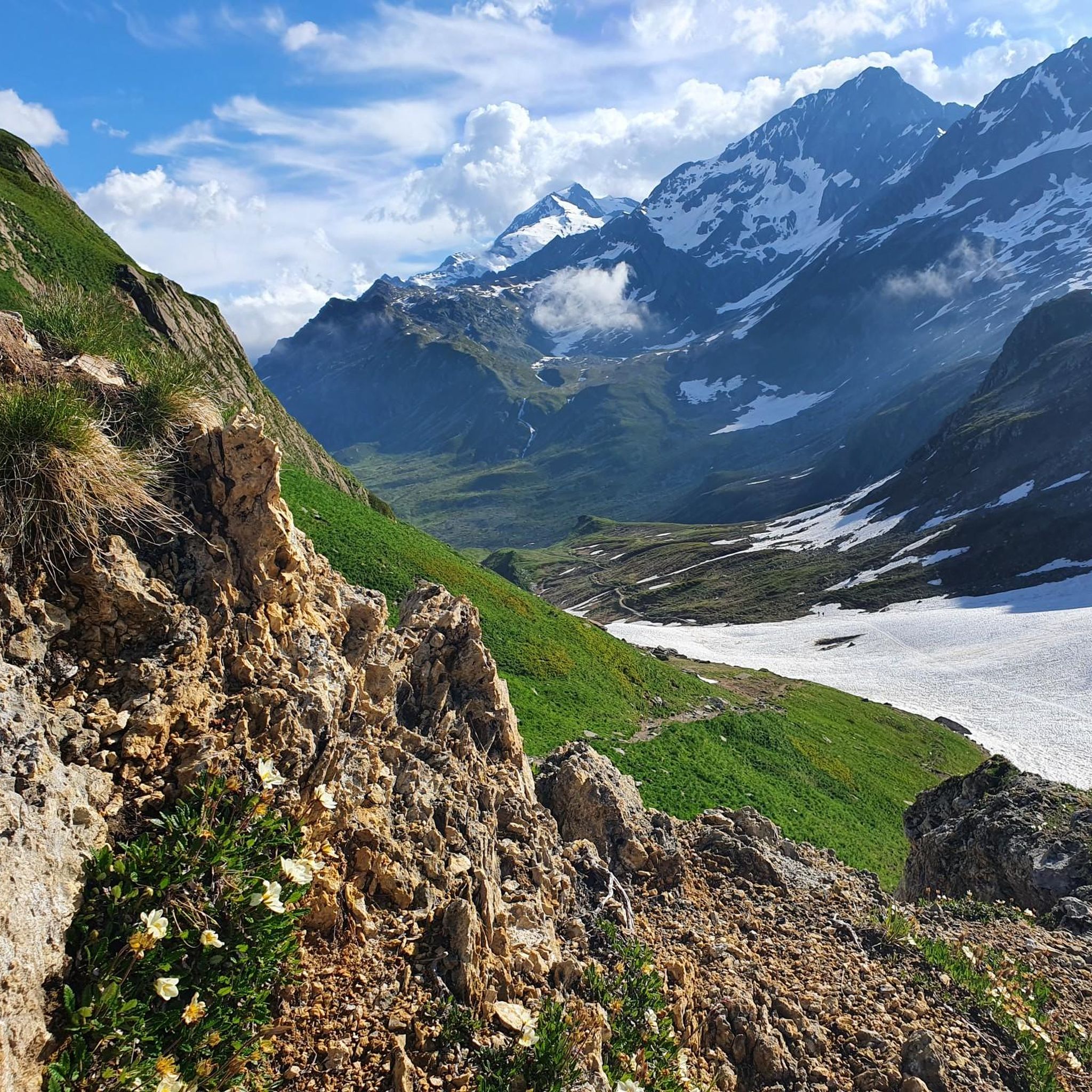
Mountaineering routes around Réserve Naturelle des Contamines-Montjoie traverse a landscape characterized by significant altitude variations, ranging from 1,100 meters to 3,892 meters at Aiguille Nord – Tré la Tête. This protected area within the Mont-Blanc range features majestic glaciers, including the Tré la Tête glacier, high peaks, and diverse ecosystems. The terrain encompasses forests, high-altitude pastures, and rocky formations, providing varied conditions for mountaineering. Water features such as lakes and meltwater torrents are also prominent throughout the reserve.
Best mountaineering…
Last updated: July 4, 2026
5.0
(3)
29
hikers
16.3km
06:52
1,000m
1,000m
Hard mountaineering route. Very good fitness required. Mostly accessible paths. Sure-footedness required.
10
hikers
6.48km
03:02
490m
490m
Moderate mountaineering route. Good fitness required. Mostly accessible paths. Sure-footedness required.

Sign up for free
4.6
(5)
15
hikers
9.20km
04:00
630m
630m
Moderate mountaineering route. Good fitness required. Mostly accessible paths. Sure-footedness required.
5.0
(1)
10
hikers
14.5km
06:54
1,140m
1,140m
Hard mountaineering route. Very good fitness required. Mostly accessible paths. Sure-footedness required.
4.5
(4)
14
hikers
10.0km
04:02
660m
660m
Moderate mountaineering route. Good fitness required. Mostly accessible paths. Sure-footedness required.
Get access to more routes and recommendations from other explorers.
Sign up for free
Already have an account?
Our route recommendations are based on thousands of hikes, rides, and runs completed by other people on komoot.
Start today with a free account
Your next adventure awaits.
Login or Signup
Popular around Réserve Naturelle des Contamines-Montjoie
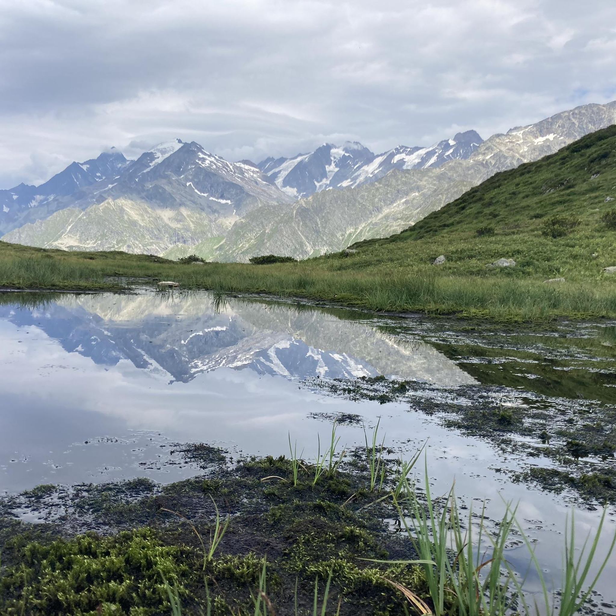
MTB Trails around Réserve Naturelle des Contamines-Montjoie
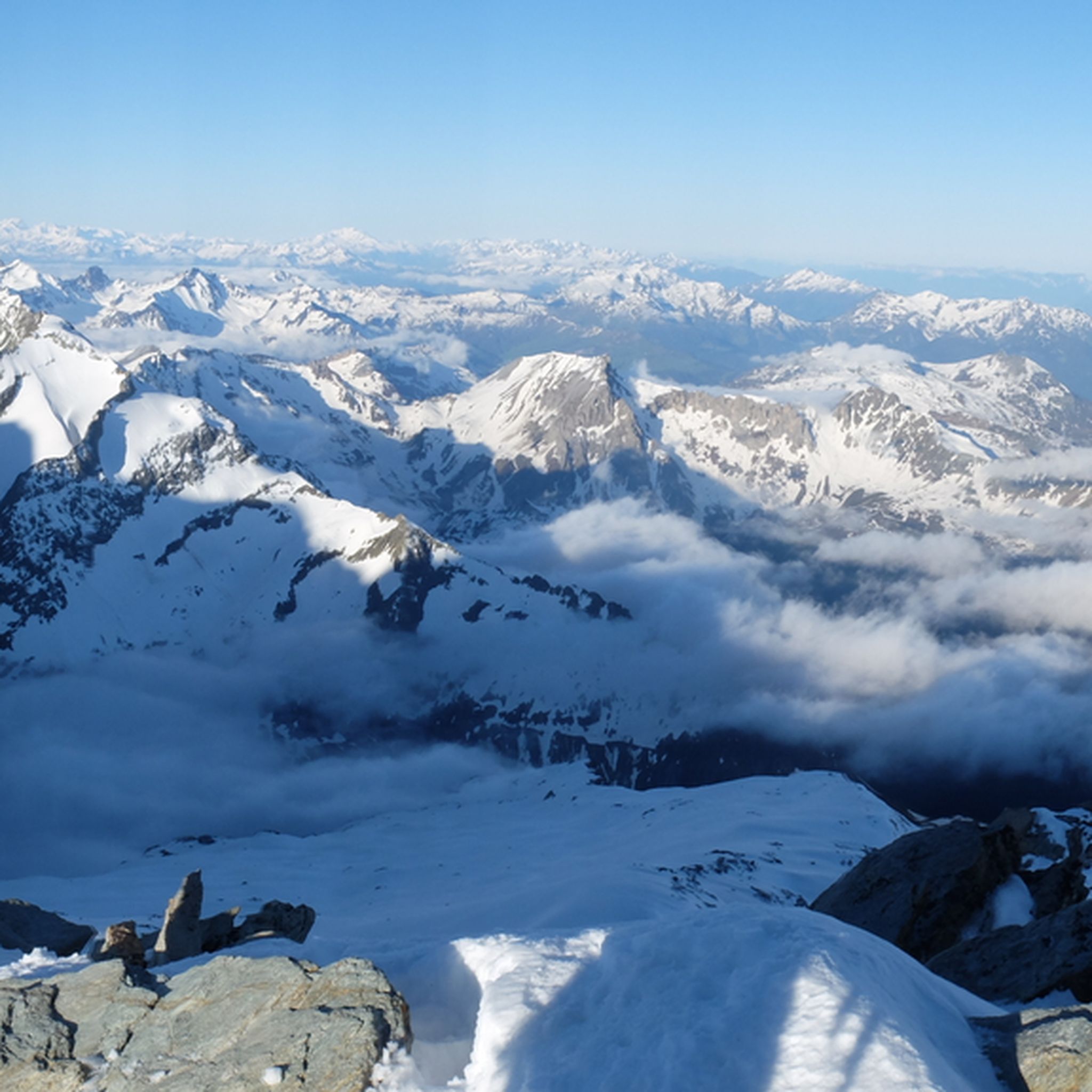
Hiking around Réserve Naturelle des Contamines-Montjoie
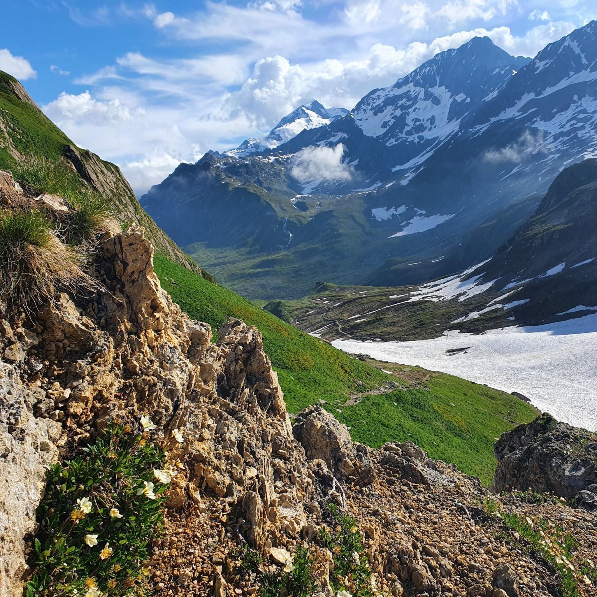
Road Cycling Routes around Réserve Naturelle des Contamines-Montjoie
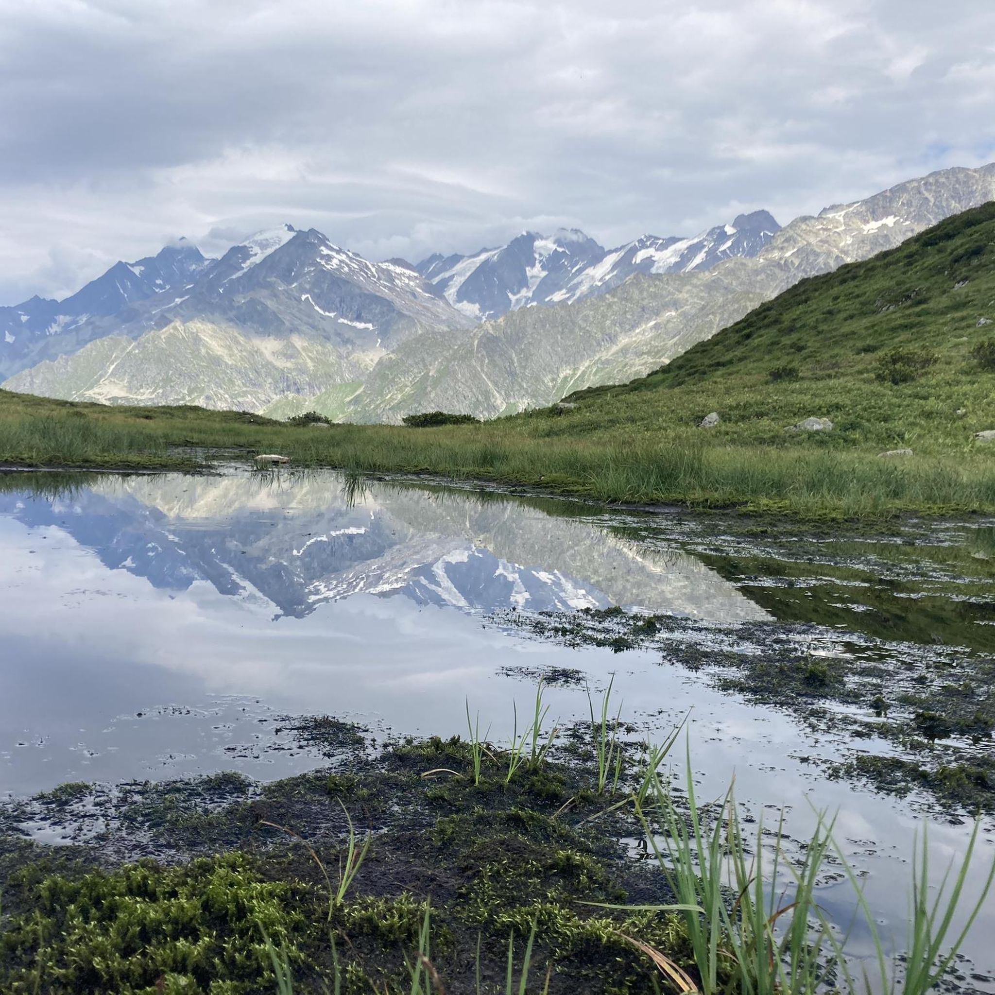
Cycling around Réserve Naturelle des Contamines-Montjoie
Running Trails around Réserve Naturelle des Contamines-Montjoie

Gravel biking around Réserve Naturelle des Contamines-Montjoie
Tips from the Community

Great welcome, I really enjoyed the bougnettes salad ;)
0
0

Footbridge closed during our passage in May 2026
0
0

Great spot for a coffee and a cold drink before tackling Col du Bonhomme or Lacs Jovet. It’s cash only!!
1
0


Nice mountain hut, delicious cheese, cozy terrace and very friendly staff
0
0
Nice suspension bridge with beautiful views
0
0

Frequently Asked Questions
How many mountaineering routes are available in Réserve Naturelle des Contamines-Montjoie?
There are 30 mountaineering routes in the Réserve Naturelle des Contamines-Montjoie. These include 8 moderate routes and 22 difficult routes, offering options for various skill levels.
What kind of terrain can I expect on mountaineering routes in this reserve?
The Réserve Naturelle des Contamines-Montjoie offers a diverse mountaineering landscape. You'll encounter significant altitude variations, from 1,100 meters up to 3,892 meters, featuring forests, high-altitude pastures, and rocky formations. Majestic glaciers, such as the Tré la Tête glacier, are prominent, along with numerous streams, lakes like the picturesque Lacs Jovet, and meltwater torrents.
Are there any family-friendly mountaineering options in the Réserve Naturelle des Contamines-Montjoie?
While mountaineering generally implies more challenging terrain, there are moderate routes that might be suitable for families with some experience. For example, the Truc Inn loop from Les Contamines-Montjoie is a moderate 6.5 km path, offering a circular journey from the village. The reserve also has over 120 km of marked hiking trails, some of which are less strenuous.
What are some notable landmarks or natural features to look out for on these routes?
The reserve is rich in natural beauty and historical sites. You can explore the impressive granite faces, prominent glaciers like Tré la Tête, and the picturesque Lacs Jovet. Historical sites include Notre-Dame de la Gorge, a significant access point for many trails, and its charming Roman bridge. Mountain passes such as Col du Bonhomme offer superb views.
What do other mountaineers say about the routes in Réserve Naturelle des Contamines-Montjoie?
The mountaineering routes in Réserve Naturelle des Contamines-Montjoie are highly rated by the komoot community, with an average score of 4.6 stars from over 50 reviews. More than 900 mountaineers have used komoot to explore the varied terrain, often praising the challenging yet rewarding experiences and the stunning alpine scenery.
Are there any circular mountaineering routes available?
Yes, several routes offer circular journeys. A popular option is the Nant Borrant Bivouac – Jovet Lakes loop from Notre-Dame de la Gorge, a difficult 16.3 km trail. Another moderate circular route is the Truc Inn loop from Les Contamines-Montjoie.
Can I find mountain huts or refuges along the mountaineering routes?
Yes, there are several mountain huts and refuges in and around the Réserve Naturelle des Contamines-Montjoie that can provide shelter or a place to rest. Notable options include Nant Borrant Mountain Refuge, Refuge des Conscrits, and Refuge de Tré-la-Tête.
What is the best time of year for mountaineering in this region?
The best time for mountaineering in the Réserve Naturelle des Contamines-Montjoie is typically during the warmer months, from late spring to early autumn, when snowmelt has largely receded from lower and mid-altitudes, and weather conditions are more stable. However, high-altitude routes involving glaciers, like the Mont Blanc Summit, require specific alpine skills and gear and can be attempted by experienced mountaineers during suitable windows.
Are there any routes that explore glacial landscapes?
Absolutely. The reserve is known for its prominent glaciers. The Passerelle du Glacier – Glacier du Miage loop from Église Saint-Nicolas-de-Véroce is an excellent choice, leading through stunning glacial landscapes. The Tré la Tête glacier itself covers a significant portion of the reserve.
What are the rules regarding dogs on mountaineering trails in the Réserve Naturelle des Contamines-Montjoie?
As a nature reserve, specific regulations apply to protect the diverse wildlife and fragile ecosystems. Generally, dogs must be kept on a leash in protected areas. It's always best to check local signage or the official reserve guidelines before heading out with your dog, as some areas might have stricter access rules or be entirely restricted for dogs.
Are there any beginner-friendly mountaineering routes?
While mountaineering routes are generally challenging, the reserve does offer moderate options that could be suitable for those with some hiking experience looking to transition into mountaineering. The Truc Inn loop from Église Saint-Nicolas-de-Véroce is a moderate 8.9 km route that provides a good introduction to the area's terrain without the extreme difficulties of some higher-altitude ascents.
Most popular routes around Réserve Naturelle des Contamines-Montjoie
Most popular attractions around Réserve Naturelle des Contamines-Montjoie

Get inspired with the komoot mobile app


Explore more
Browse the best Mountain Hikes & Routes in other regions.
