Réserve biologique intégrale du Mont Ventoux
Réserve biologique intégrale du Mont Ventoux
The best cycling routes around Réserve biologique intégrale du Mont Ventoux
4.6
(1610)
47,831
riders
178
rides
Touring cycling around Réserve biologique intégrale du Mont Ventoux offers diverse landscapes, transitioning from lush vineyards and dense forests at lower elevations to sparse, rocky terrain near the summit. The region is characterized by significant elevation changes, culminating in the 1910-meter Mont Ventoux peak, often referred to as the "Bald Mountain." Cyclists encounter varied vegetation zones, dramatic formations like the Nesque Gorges, and, seasonally, lavender fields. This UNESCO Biosphere Reserve provides a challenging yet rewarding environment for touring cyclists.
Best…
Last updated: October 16, 2026
4.9
(11)
580
riders
Moderate bike ride. Good fitness required. Mostly paved surfaces. Suitable for all skill levels.
4.9
(11)
640
riders
9.69km
00:51
370m
370m
Moderate bike ride. Good fitness required. Mostly paved surfaces. Suitable for all skill levels.

4.8
(5)
36
riders
Hard bike ride. Very good fitness required. Mostly paved surfaces. Suitable for all skill levels.
36
riders
6.43km
00:34
250m
250m
Moderate bike ride. Good fitness required. Mostly paved surfaces. Suitable for all skill levels.
7
riders
6.89km
00:39
170m
170m
Moderate bike ride. Good fitness required. Mostly paved surfaces. Suitable for all skill levels.
Get access to more routes and recommendations from other explorers.
Already have an account?
Our route recommendations are based on thousands of hikes, rides, and runs completed by other people on komoot.
Start today with a free account
Your next adventure awaits.
Popular around Réserve biologique intégrale du Mont Ventoux
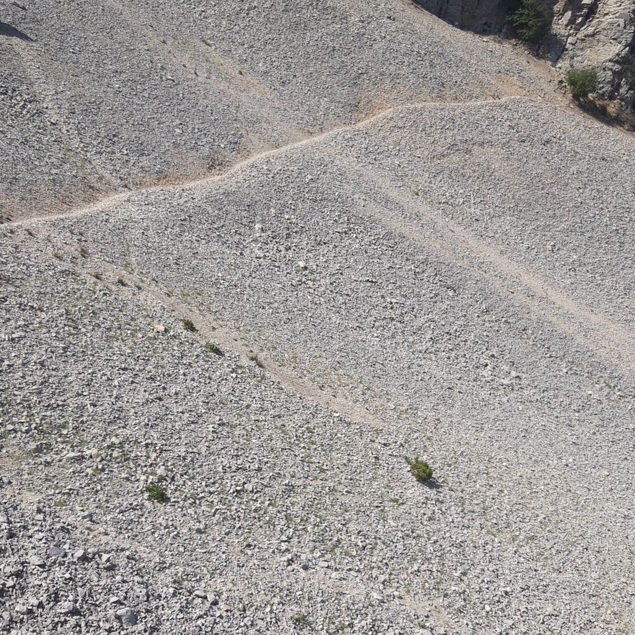
Hiking around Réserve biologique intégrale du Mont Ventoux
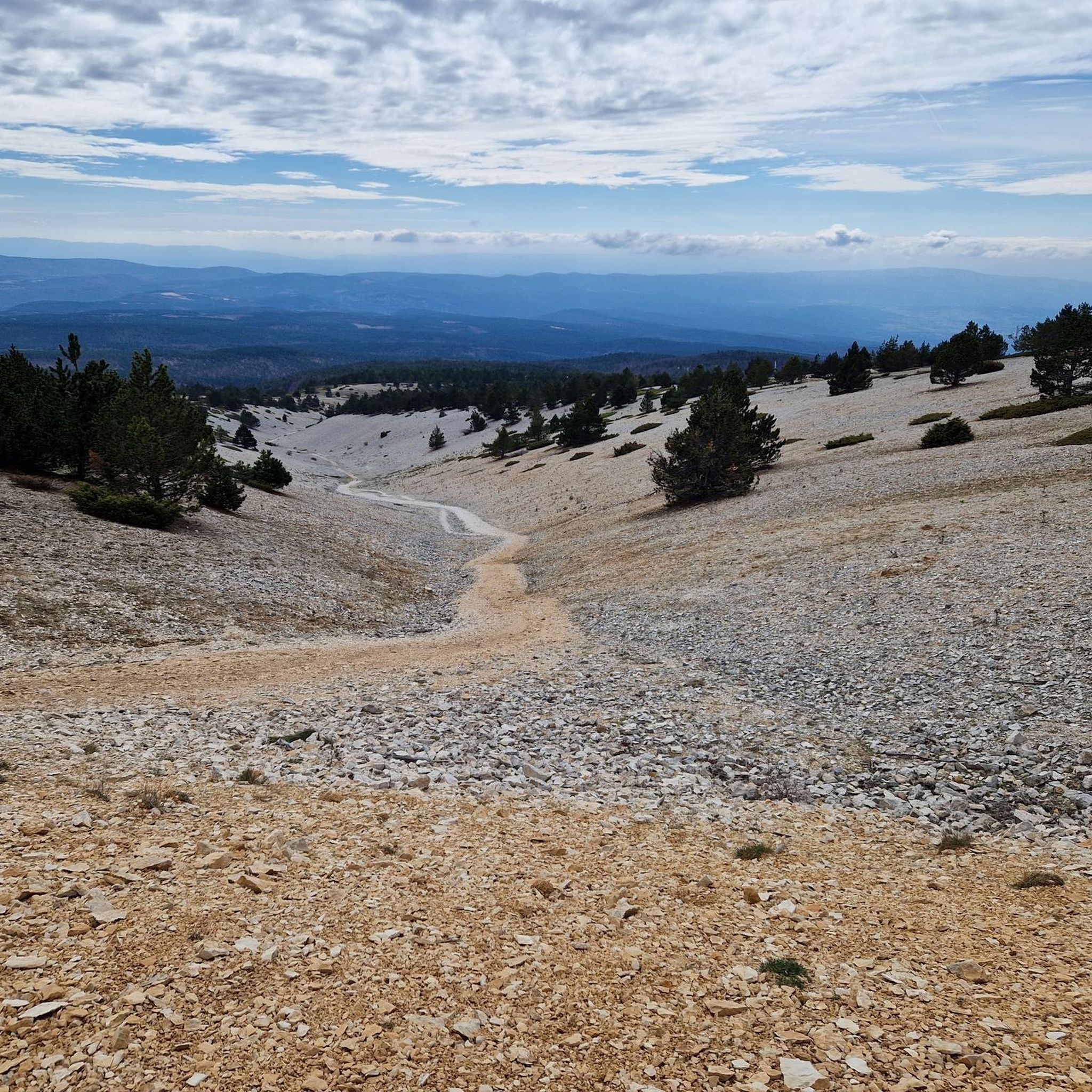
Road Cycling Routes around Réserve biologique intégrale du Mont Ventoux
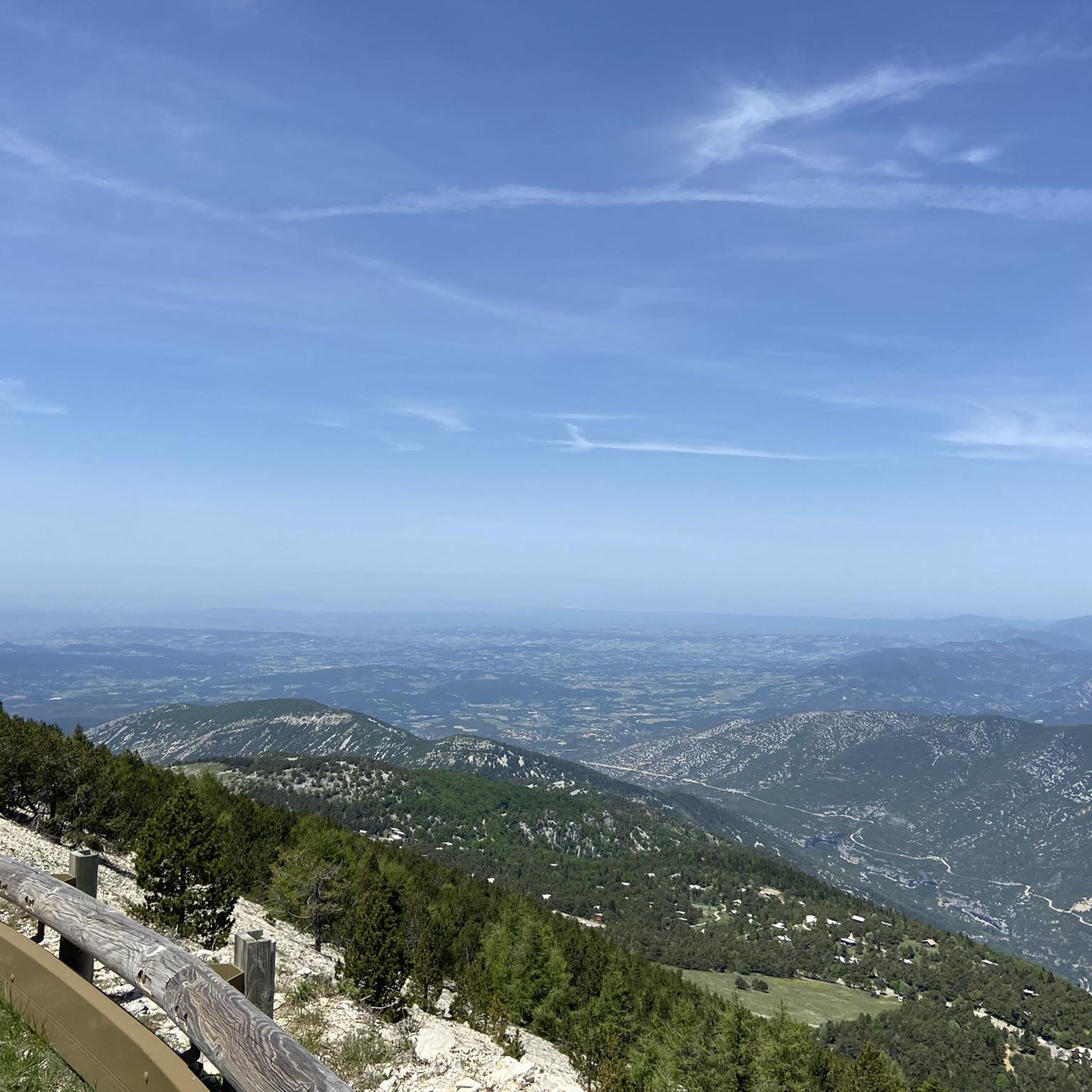
Running Trails around Réserve biologique intégrale du Mont Ventoux
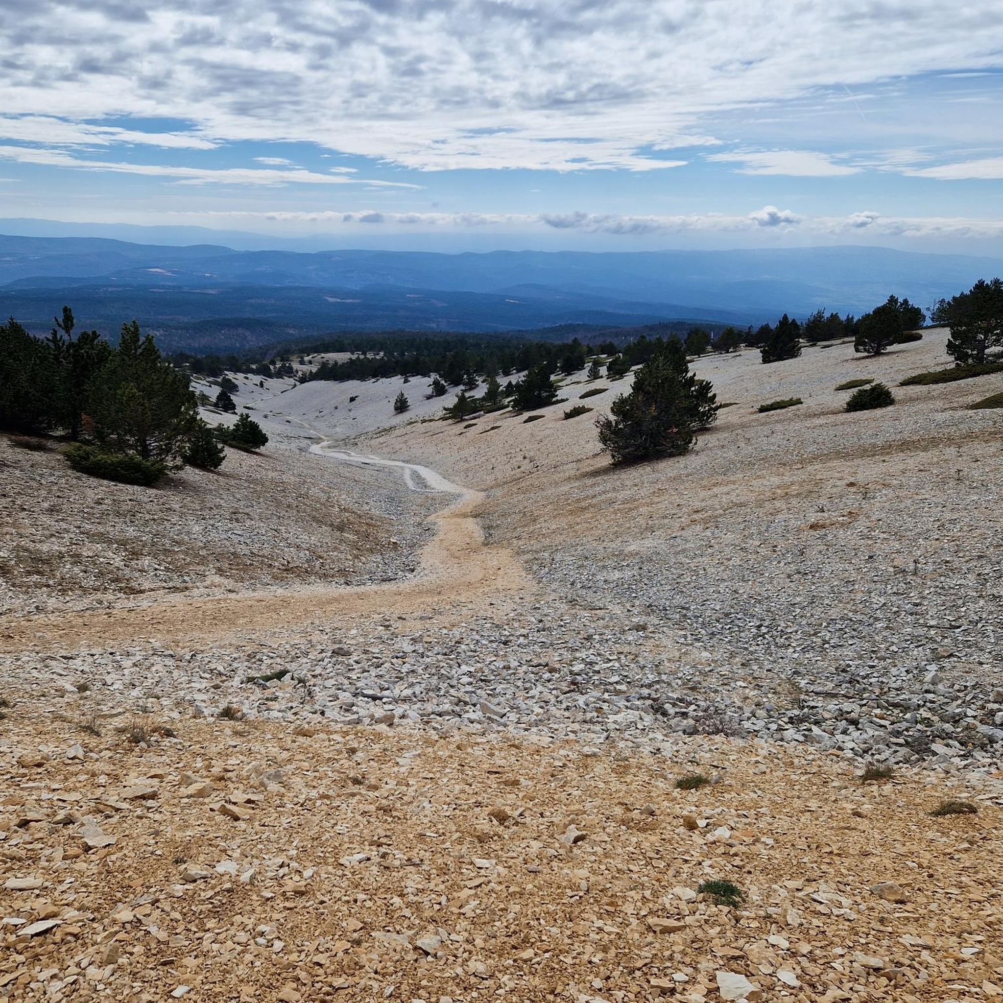
MTB Trails around Réserve biologique intégrale du Mont Ventoux
Gravel biking around Réserve biologique intégrale du Mont Ventoux

Mountain Hikes around Réserve biologique intégrale du Mont Ventoux
Tips from the Community

As soon as you set off, the panorama is already spectacular.
8
0
The view from the top is sublime.
4
0
Finish line , if you see it, you've made it.
8
1
The last hairpin bend and then you are at the top.
8
0
Almost there, and you're nearly arrived.
11
0
For cycle travelers these places are perfect.
12
0
The mythical summit of the most iconic mountain of the Tour de France
11
0

The last 6 kilometers demand everything, wind gusts and constantly steep ascents.
0
0
Frequently Asked Questions
How many touring cycling routes are available in the Réserve biologique intégrale du Mont Ventoux?
There are over 190 touring cycling routes in the Réserve biologique intégrale du Mont Ventoux, catering to various skill levels. You'll find approximately 20 easy routes, around 65 moderate routes, and over 100 difficult routes, offering a wide range of challenges and experiences.
What kind of terrain can I expect when cycling around Mont Ventoux?
The terrain around Mont Ventoux is incredibly diverse. You'll cycle through lush vineyards and dense forests at lower elevations, which gradually transition to more sparse, rocky landscapes as you ascend. Near the summit, the environment becomes stark and almost lunar, earning it the nickname "Bald Mountain." The region also features dramatic formations like the Nesque Gorges and, seasonally, picturesque lavender fields.
Are there any family-friendly touring cycling routes in the Mont Ventoux area?
While many routes around Mont Ventoux involve significant elevation, there are options for families. Look for routes categorized as 'easy' in the komoot app, which typically have less demanding climbs and shorter distances. The gentler initial sections of the Sault ascent, for example, could be suitable for more experienced cycling families before the steeper final climb.
What are some notable natural features or landmarks to look out for on the cycling routes?
The region is rich in natural beauty and landmarks. You can experience the dramatic views from the Pass of Storms, or witness the unique "lunar" landscape near the summit. The Nesque Gorges offer spectacular canyon views, and in season, the vast lavender fields around Sault are a highlight. The Trail in the Mont Ventoux Reserve also provides a glimpse into the area's rich biodiversity.
Is it possible to cycle a circular route around Mont Ventoux?
Yes, circular routes are a popular way to experience the region. The "Tour du Ventoux à Vélo" is a well-known circuit, approximately 130 km long, that encircles the mountain, passing through charming villages and diverse landscapes. You can find more information about this circuit on France Vélo Tourisme.
What is the best time of year to go touring cycling in Réserve biologique intégrale du Mont Ventoux?
The best time to cycle Mont Ventoux is typically from late spring to early autumn (May to October). During these months, the weather is generally more favorable, and the higher elevations are free of snow. Spring offers blooming wildflowers and milder temperatures, while early autumn provides pleasant conditions and often stunning fall foliage. Summer can be very hot, especially at lower altitudes, so early morning starts are recommended.
Are there any specific regulations or permits required for cycling in the Réserve biologique intégrale du Mont Ventoux?
The Réserve biologique intégrale du Mont Ventoux is a UNESCO Biosphere Reserve, with an Integral Biological Reserve on its northern slopes. While general touring cycling is permitted on established roads and trails, it's always advisable to respect local regulations, stay on marked paths, and minimize your impact on the environment. No specific cycling permits are generally required for public access routes, but always check for any temporary restrictions, especially during fire season or specific conservation efforts.
How can I access the cycling routes using public transport?
The town of Carpentras has a train station within reasonable distance of the Mont Ventoux area, which can serve as a convenient access point for cyclists. From Carpentras, you can cycle to various starting points for routes around the mountain. It's recommended to check local bus services for connections to smaller villages closer to specific trailheads, keeping in mind that bike transport on buses may be limited.
What do other touring cyclists enjoy most about cycling in Réserve biologique intégrale du Mont Ventoux?
The area is highly rated by the komoot community, with an average score of 4.6 stars from over 1,500 reviews. Reviewers often praise the challenging ascents, the breathtaking panoramic views from the summit, and the dramatic changes in landscape from lush forests to the unique 'lunar' environment. The sense of achievement after conquering the 'Giant of Provence' is a common highlight.
Are there any easy touring cycling routes for beginners around Mont Ventoux?
Yes, while Mont Ventoux is famous for its challenging climbs, there are easier options. For instance, the route The Radome of Mont Ventoux – Mount Serin loop from Mont Ventoux is a moderate 3.1-mile (5.0 km) trail that offers a taste of the upper slopes without the full ascent. Look for routes marked 'easy' or 'moderate' on komoot for less strenuous rides in the surrounding valleys and lower slopes.
Where can I find parking for touring cycling routes near Mont Ventoux?
Parking is generally available in the towns and villages surrounding Mont Ventoux, such as Bédoin, Malaucène, and Sault, which serve as popular starting points for ascents. There are also parking areas at key points like Chalet Reynard. Always check local signage for parking regulations and fees, especially during peak season.
Are there any routes that offer particularly scenic viewpoints?
Many routes around Mont Ventoux offer spectacular views. The ascents themselves, such as the Pass of Storms – Summit arrival 🥳 loop from Fontaine de la Grave, provide expansive panoramas as you gain elevation. The summit of Mont Ventoux offers a 360-degree view of Provence, the Alps, and the Baronnies Provençales. The Nesque Gorges loop also features dramatic canyon vistas.
What are some of the more challenging touring cycling routes in the area?
For experienced cyclists seeking a challenge, the region offers several difficult routes. The classic ascents from Bédoin and Malaucène are legendary. A notable difficult route is the Mont Ventoux Road – Sault loop from Chalet Reynard, which covers 40 km with significant elevation gain. Another demanding option is the Mont Ventoux Road – Summit of Mont Ventoux loop from Mont Ventoux, spanning nearly 37 km with almost 1000 meters of ascent.
Most popular routes around Réserve biologique intégrale du Mont Ventoux
Most popular attractions around Réserve biologique intégrale du Mont Ventoux

Get inspired with the komoot mobile app


Explore more
Browse the best Cycling routes in other regions.
