The best running trails around Organyà
5.0
(5)
213
runners
25
runs
Jogging routes Organyà are set within the mountainous terrain of the Catalan Pyrenees, shaped by the Segre, Cabó, and Fontanet rivers. This region offers diverse landscapes, from riverbanks to the slopes of Santa Fe mountain, providing varied gradients for runners. The extensive network of trails in the Alt Urgell area ensures options for different fitness levels.
Best jogging routes around Organyà
- The most popular jogging route is Waterfalls of Organyà loop from Organyà, a 13.9 miles (22.4 km) difficult…
Last updated: October 15, 2026
38
runners
22.4km
03:20
1,070m
1,070m
Hard run. Very good fitness required. Mostly paved surfaces. Suitable for all skill levels.
22
runners
8.08km
01:22
590m
590m
Hard run. Very good fitness required. Mostly paved surfaces. Suitable for all skill levels.

15
runners
10.4km
01:40
600m
600m
Hard run. Very good fitness required. Sure-footedness, sturdy shoes and alpine experience required.
7
runners
14.2km
02:05
670m
660m
Hard run. Very good fitness required. Mostly paved surfaces. Suitable for all skill levels.
8
runners
46.8km
06:49
2,030m
2,030m
Hard run. Very good fitness required. Mostly paved surfaces. Suitable for all skill levels.
Get access to more routes and recommendations from other explorers.
Already have an account?
Our route recommendations are based on thousands of hikes, rides, and runs completed by other people on komoot.
Start today with a free account
Your next adventure awaits.

Tips from the Community

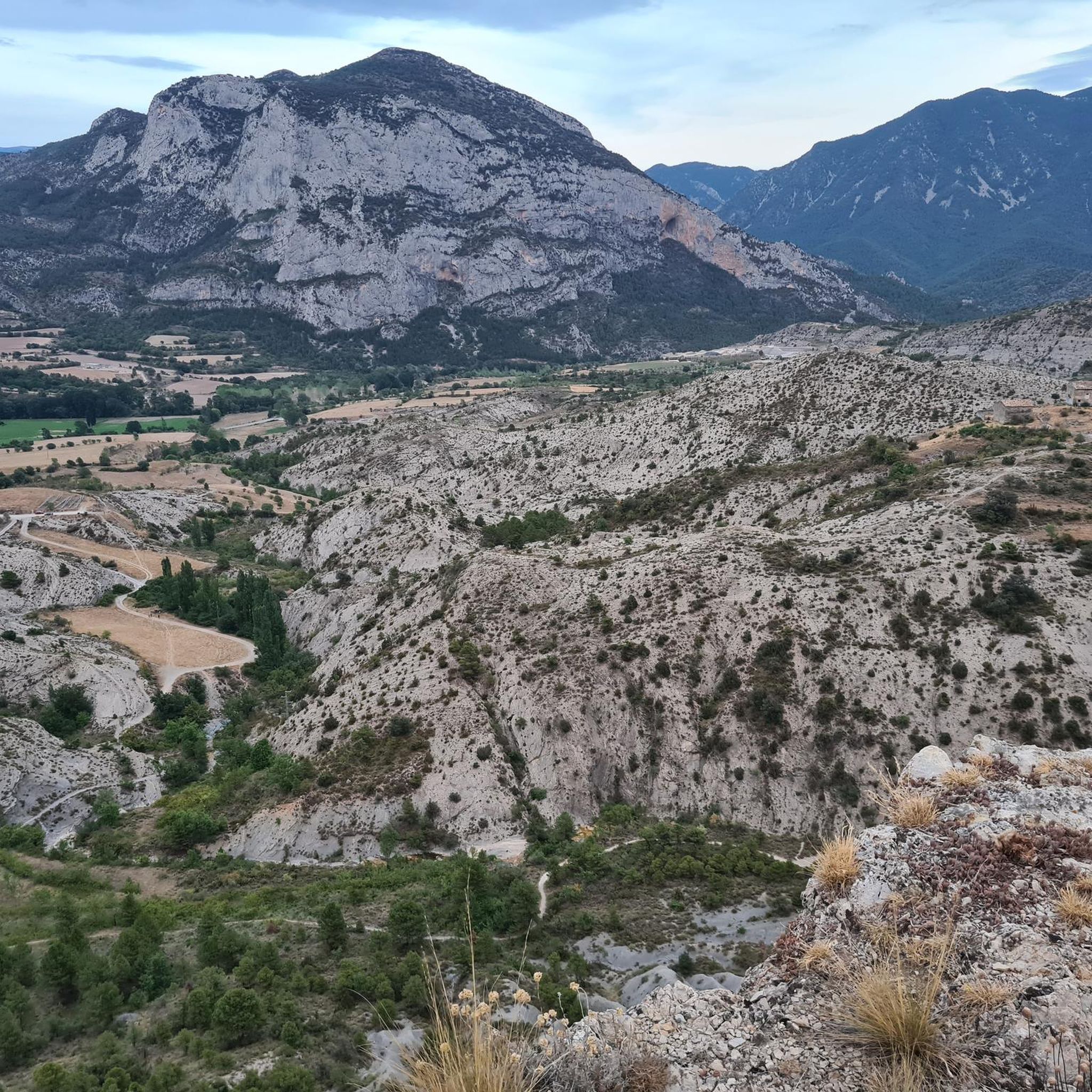
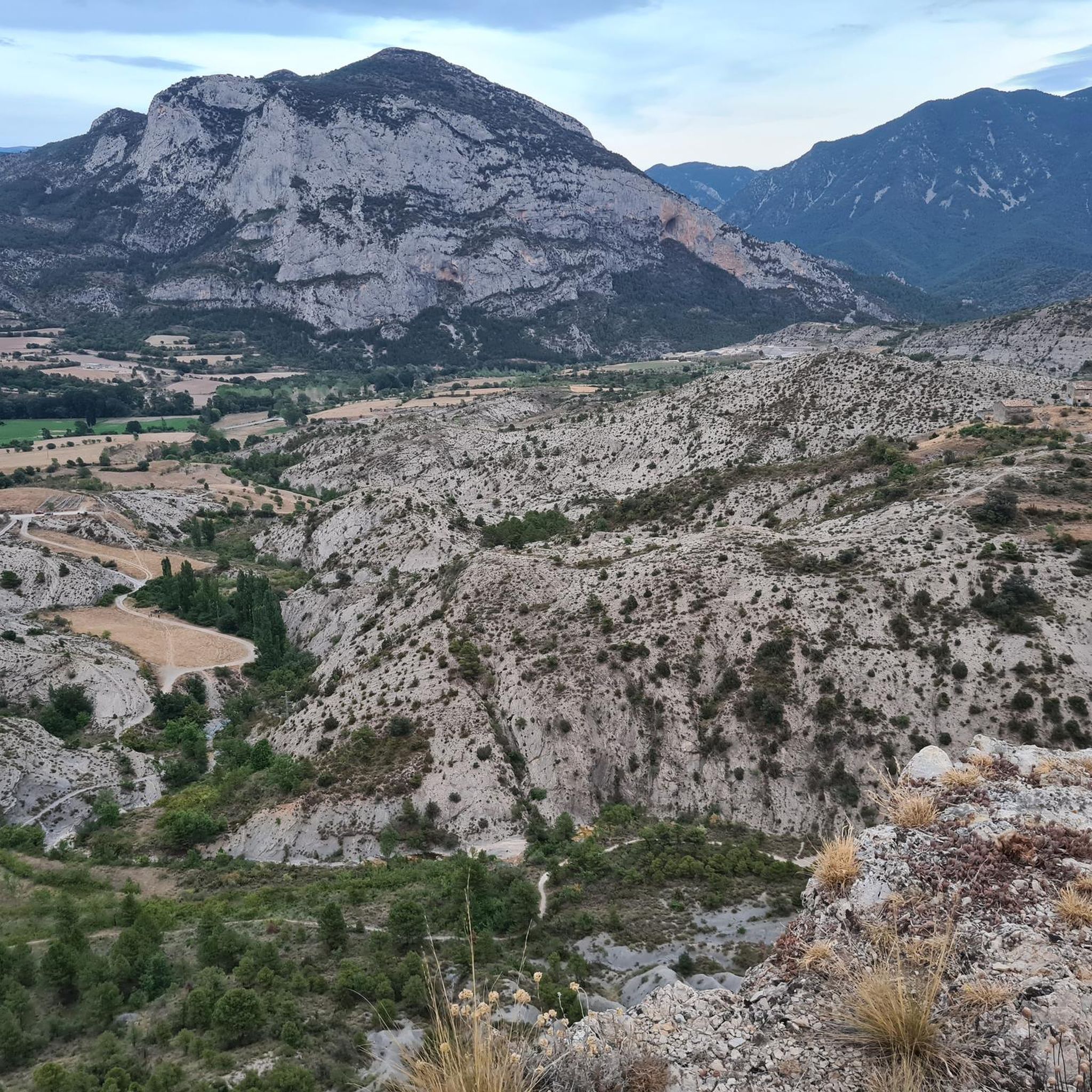
We went on a Sunday, and there weren't many people. It's recommended to pack flip-flops in your backpack to wear in the water, as there are a lot of rocks. The water is warm, very pleasant for a swim. You can leave your car in the village and start the route from there.
2
0

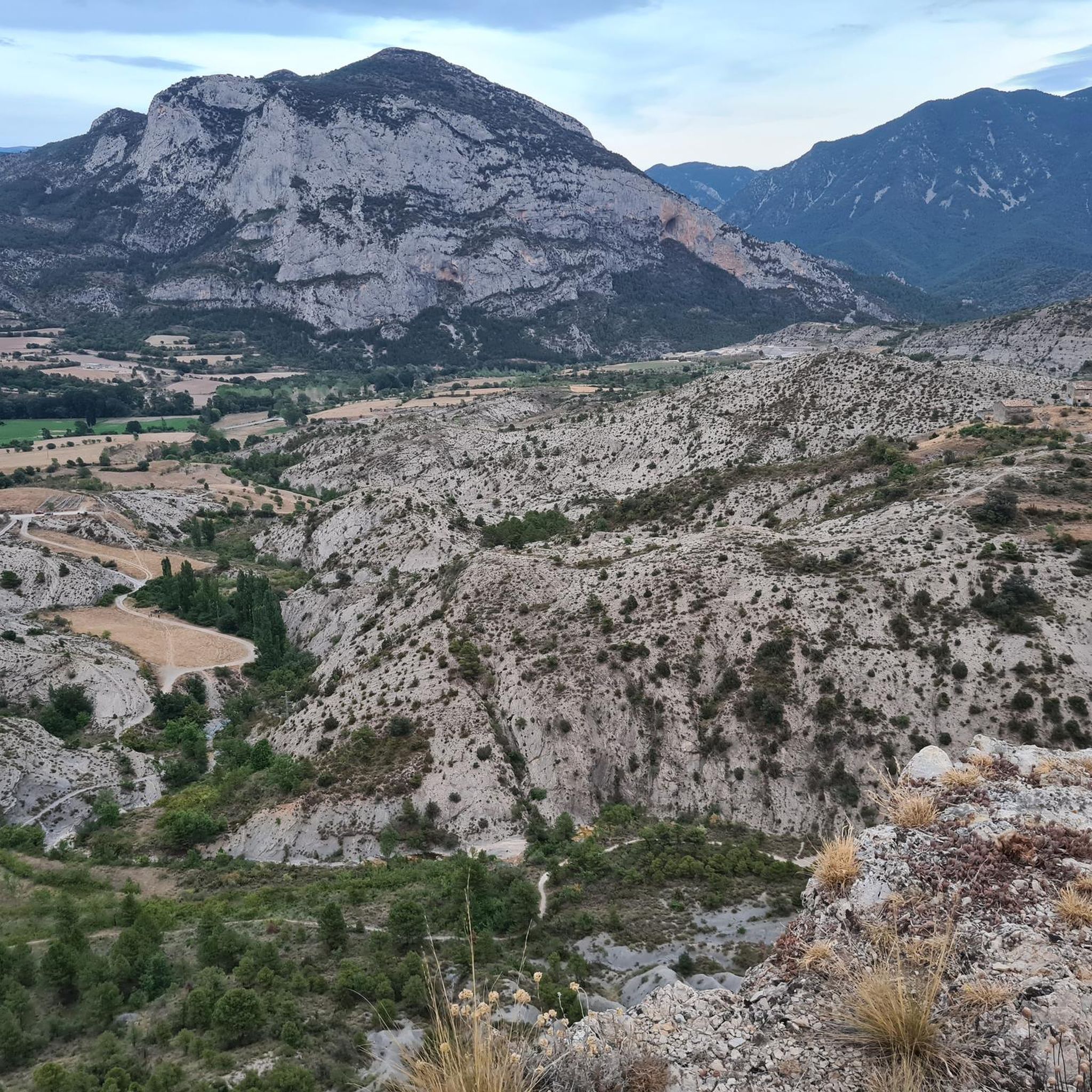
The final repecho is a firm calcareous entertaining but cycleable up to the summit milestone. The views reach the Catalan Pyrenees, the Pre-Pyrenees, the Sierra del Cadí, the Pedraforca, the light silhouette of the spires of Montserrat, the Sierra de Montsec and the mountains of Pallars Jussá.
0
0

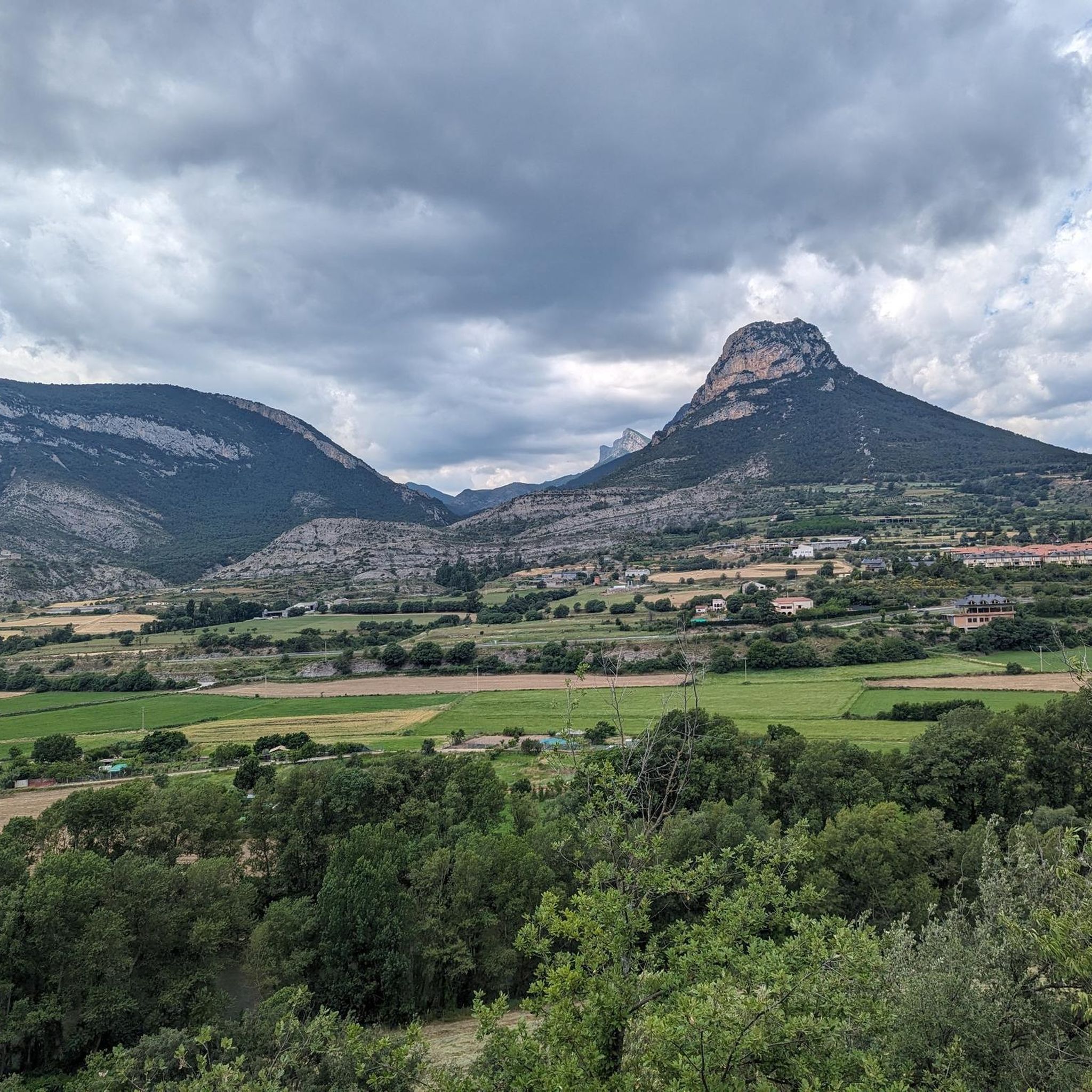
It is located on top of a hill. The environment that surrounds the church and also the town, is beautiful. The church is documented from the second half of the 10th century.
0
0
Idyllic place to cool off on the hottest days.
1
0
The Pico de Boumort is the highest peak of the Sierra de Boumort at 2077.2 m altitude.
1
0

Frequently Asked Questions
How many running routes are available around Organyà?
Organyà offers a diverse network of nearly 20 running routes, catering to various fitness levels. Most of these trails are challenging, with 14 classified as difficult and 4 as moderate, providing ample opportunities for experienced runners.
Are there any easy jogging routes for beginners in Organyà?
While many routes in Organyà are challenging, the region's natural features offer gentler options. The Els Gegants de Coll Piquer – Roc Roi loop from Coll de Nargó is a moderate 9.1 km trail that provides a less strenuous experience compared to the more difficult mountain ascents. Additionally, the flat riverbanks of the Organyà and Segre rivers offer scenic and easier paths.
Can I find circular running routes in Organyà?
Yes, many of the running trails around Organyà are designed as loops, allowing you to start and finish in the same location. For example, the challenging Waterfalls of Organyà loop from Organyà and the scenic Ermita de Santa Fe loop from Organyà are both circular routes.
What kind of terrain can I expect on the running trails in Organyà?
The terrain in Organyà is predominantly mountainous, set within the Catalan Pyrenees. You'll encounter varied gradients, from challenging ascents towards peaks like Santa Fe mountain to more moderate paths along the Segre, Cabó, and Fontanet rivers. The extensive trail network includes both rugged mountain paths and scenic riverbank trails.
Are there any running routes that feature waterfalls?
Absolutely! The Waterfalls of Organyà loop from Organyà is a popular, challenging route that specifically highlights the beautiful Waterfalls of Organyà. This trail offers significant elevation gain and stunning views of this natural attraction.
What are some notable landmarks or viewpoints I can see while running in Organyà?
Runners in Organyà can enjoy several scenic landmarks. The Ermita de Santa Fe loop from Organyà ascends towards the Santa Fe mountain, offering rewarding panoramic views from its summit chapel. Other points of interest in the wider area include the Coll de Bóixols and the Cyclist sculpture at Coll de Serra Seca.
Are there any challenging routes for experienced trail runners?
Organyà is ideal for experienced trail runners, with 14 of its 18 routes classified as difficult. The Roca d'Espatllagossos – Tossal de Balinyó loop from Organyà is a challenging 9.6 km route with significant elevation changes. Another demanding option is the Waterfalls of Organyà – Ermita de Santa Fe loop from Organyà, which combines two major local features into a strenuous 14.2 km run.
What is the best time of year to go running in Organyà?
Organyà's extensive network of trails in the Alt Urgell area is suitable for year-round use, offering varying difficulty levels to match different seasons. The Catalan Pre-Pyrenees provide diverse conditions, so checking local weather forecasts is always recommended for the best experience.
Are the running trails in Organyà suitable for families?
While many routes are challenging, families can find suitable options. The Organyà to Fontanet Ponds Trail, though not listed in the guide, is described as an easy 5.29 km hike with picturesque river scenery and deep ponds, making it ideal for a leisurely jog or walk with family. The flat riverbanks also offer accessible paths.
What do other runners enjoy most about the trails in Organyà?
Runners frequently praise the diverse landscapes and challenging nature of Organyà's trails. The region's mountainous terrain, river valleys, and the extensive network of the Catalan Pre-Pyrenees offer a variety of experiences. Many appreciate the significant elevation gains and rewarding views, especially on routes like those leading to the Santa Fe mountain or the Waterfalls of Organyà.
Is parking available near the running trailheads in Organyà?
Yes, Organyà is a well-established area for outdoor activities, and parking is generally available near trailheads and within the town. Specific parking information for individual routes can often be found on their respective komoot tour pages.
Are dogs allowed on the running trails in Organyà?
Generally, dogs are welcome on many trails in the Alt Urgell region, but it's always advisable to check local regulations or specific trail signage. When running with your dog, ensure they are kept under control, especially in areas with livestock or wildlife, and always clean up after them.
Most popular attractions around Organyà

Get inspired with the komoot mobile app


Explore more
Browse the best Running Trails & Routes in other regions.
