Parc national des Écrins (cœur)
Parc national des Écrins (cœur)
The best road cycling routes around Parc national des Écrins (cœur)
4.5
(1303)
80,001
riders
249
rides
Road cycling around Parc national des Écrins (cœur) features routes through a high-mountain landscape characterized by deep valleys, challenging ascents to famous cols, and alpine scenery. The region, part of a natural park, offers significant elevation changes and winding roads. These routes often traverse mountain passes and provide views of surrounding peaks and glaciers, including the Barre des Écrins. The area is defined by its dramatic, jagged mountainous terrain with high peaks, deep gullies, and extensive glaciers.
Best road cycling routes around Parc national des Écrins (cœur)
- The most popular road cycling route is Col du Galibier Climb from La Grave, a 24.1 miles (38.8 km) trail that takes 2 hours 29 minutes to complete. This difficult route ascends one of the most iconic mountain passes in the French Alps.
- Another top favourite among local road cyclists is Lanchatra Waterfall loop from Réserve naturelle de la haute vallée du Vénéon, a difficult 29.4 miles (47.4 km) path. This loop offers varied terrain and includes a notable waterfall.
- Local road cyclists also love the Panorama / Galibier – Col du Galibier loop from La Grave, a 33.6 miles (54.1 km) trail leading through high mountain passes and panoramic viewpoints, often completed in about 3 hours 24 minutes.
- Road cycling around Parc national des Écrins (cœur) is defined by high mountain passes, deep valleys, and challenging climbs. The network offers options for difficult routes, with some moderate and easy trails also available.
- The routes in Parc national des Écrins (cœur) are highly rated by the komoot community with an average score of 4.5 stars from over 1,100 reviews. More than 75,000 road cyclists have used komoot to explore Parc national des Écrins (cœur)'s varied terrain.
Last updated: July 16, 2026
4.8
(24)
984
riders
38.8km
02:29
1,170m
1,170m
This difficult 24.1-mile road cycling route from La Grave to Col du Galibier climbs 3851 feet through Écrins National Park.
4.1
(7)
788
riders
52.3km
03:29
1,640m
1,640m
Hard road ride. Very good fitness required. Some segments of this route may be unpaved and difficult to ride.

Sign up for free
4.7
(15)
683
riders
60.3km
03:06
1,050m
1,050m
Hard road ride. Very good fitness required. Mostly well-paved surfaces and easy to ride.
5.0
(8)
648
riders
47.4km
02:47
1,110m
1,110m
Hard road ride. Very good fitness required. Some segments of this route may be unpaved and difficult to ride.
4.6
(13)
1,073
riders
60.6km
03:24
1,300m
1,300m
Hard road ride. Very good fitness required. Some segments of this route may be unpaved and difficult to ride.
Get access to more routes and recommendations from other explorers.
Sign up for free
Already have an account?
Our route recommendations are based on thousands of hikes, rides, and runs completed by other people on komoot.
Start today with a free account
Your next adventure awaits.
Login or Signup
Popular around Parc national des Écrins (cœur)

8 hikes in the Hautes-Alpes — mountain passes and high-altitude lakes

Écrins, Belledonne and Vercors – HexaTrek, Hautes-Alpes
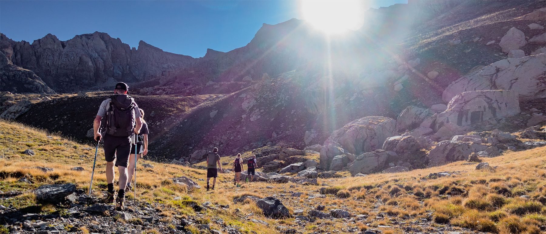
Écrins National Park and more – hikes in and around Puy Saint Vincent
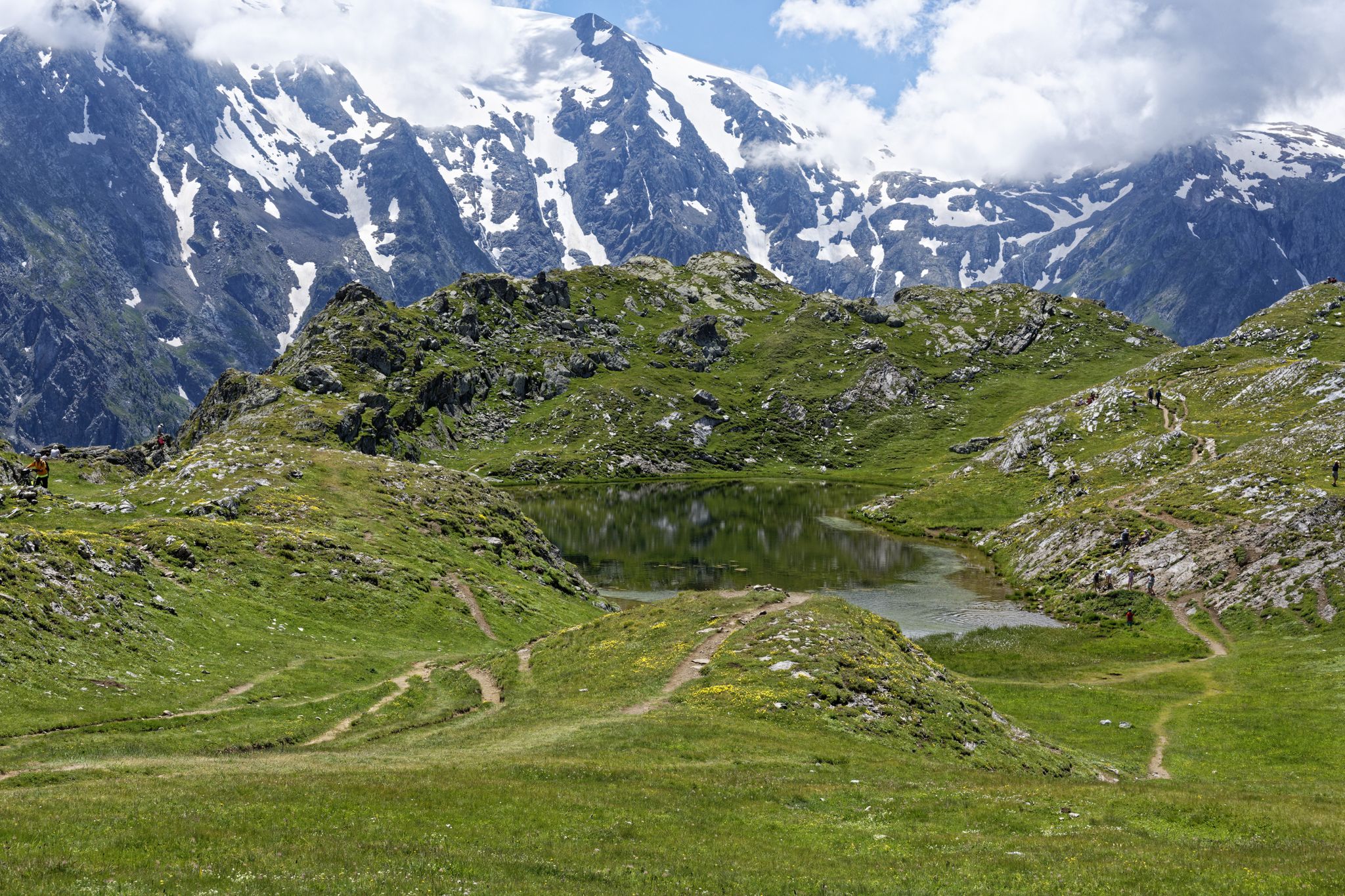
Exploring the Oisans and the Écrins in France — the GR 54

France — two weeks of hiking at its best!
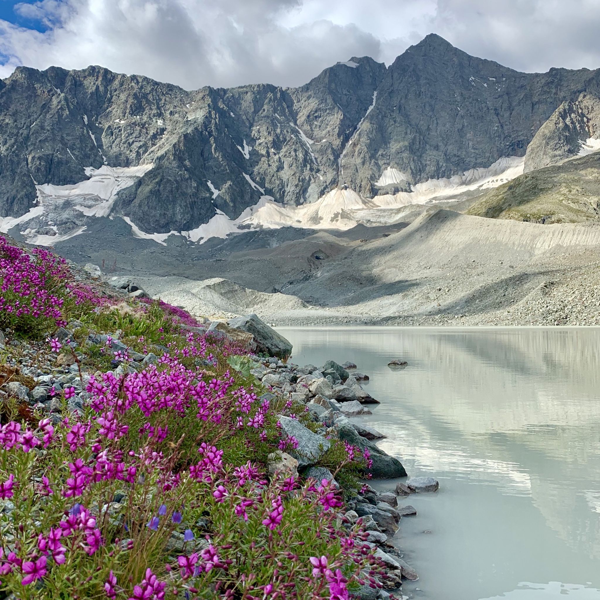
Hiking around Parc national des Écrins (cœur)
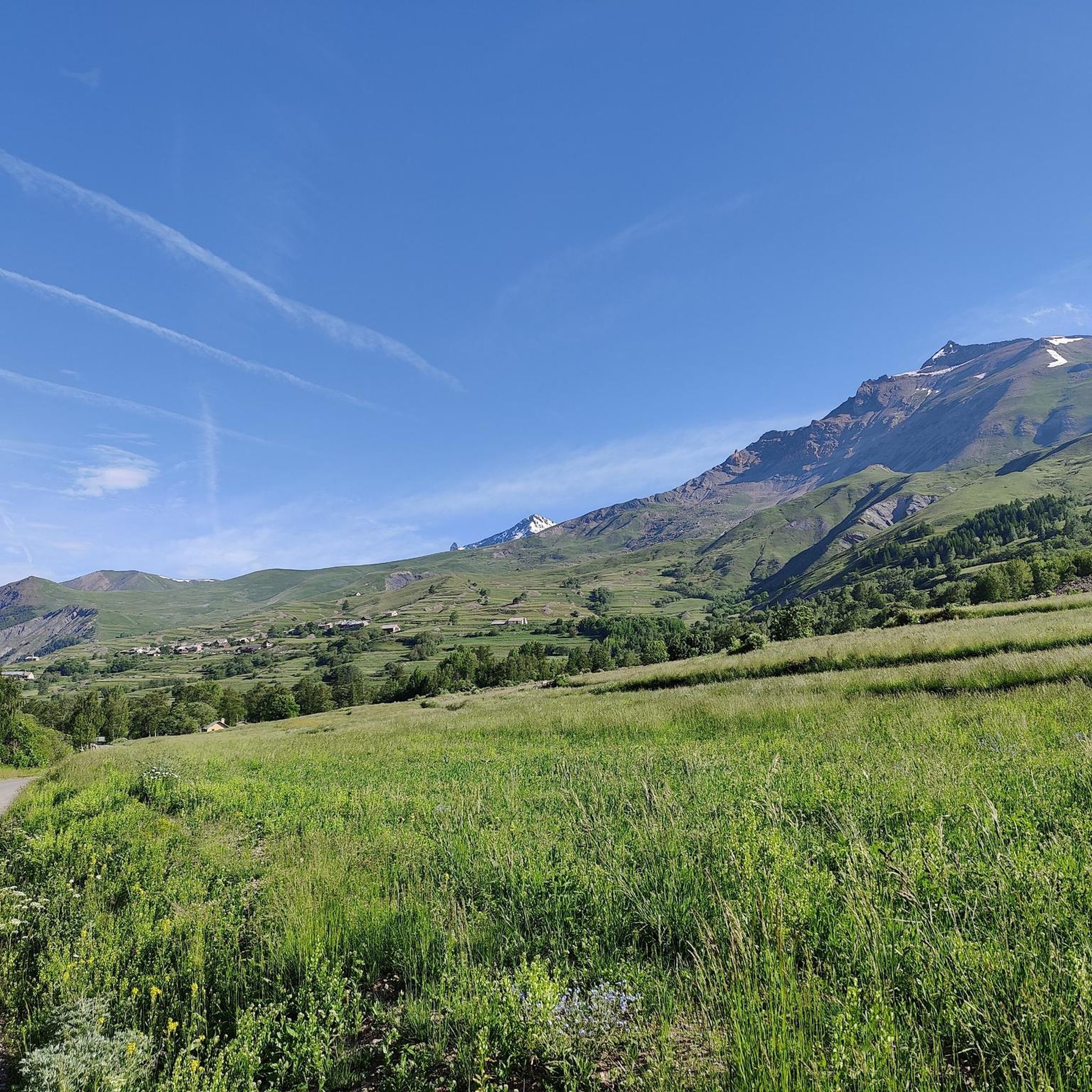
MTB Trails around Parc national des Écrins (cœur)
Cycling around Parc national des Écrins (cœur)
Running Trails around Parc national des Écrins (cœur)

Gravel biking around Parc national des Écrins (cœur)
Other adventures around Parc national des Écrins (cœur)


Tips from the Community

And the Vauban fortress. It is not a castle
0
0

Very beautiful and characteristic village inside the fortification
0
0

At the top of this hill there are many shops, bars and restaurants equipped for cyclists.
18
0

Here is the route for the ascent of the Col du Lautaret starting from Le Monêtier-les-Bains
3
0

The Col du Lautaret has long been used as a communication route between Grenoble and Briançon, and even as a means of access to Italy via the Alps. The road to the Col du Galibier, on the southern slope, starts from the Col du Lautaret. The Guisane River rises at the Col du Lautaret. This pass is also part of the Route des Grandes Alpes.
0
0
A fantastic mountain, making this climb was very challenging, the asphalt is in excellent condition and the gradients are regular.
14
0

A beautiful view not to be missed
0
0
Beautiful little village, worth stopping to admire the church.
19
0
Frequently Asked Questions
What are the typical difficulty levels for road cycling routes in Parc national des Écrins (cœur)?
Road cycling in Parc national des Écrins (cœur) is predominantly challenging, characterized by significant elevation changes and mountain passes. There are 96 difficult routes, 127 moderate routes, and 41 easier options available, catering to a range of experience levels.
Are there any family-friendly road cycling routes in Parc national des Écrins (cœur)?
While the region is known for its challenging high-mountain terrain, there are 41 routes classified as easy. These routes typically feature less extreme elevation gains and are more suitable for families or those seeking a more relaxed ride. It's always recommended to check the specific route details on komoot for elevation profiles and distance before setting out.
What is the best time of year to go road cycling in Parc national des Écrins (cœur)?
The best time for road cycling in Parc national des Écrins (cœur) is generally from late spring to early autumn (June to September). During these months, mountain passes are typically clear of snow, and the weather is more stable, offering ideal conditions for tackling the region's high-altitude routes. Always check local weather and road conditions before your ride.
Are there any loop road cycling routes available in the area?
Yes, many road cycling routes in Parc national des Écrins (cœur) are designed as loops, allowing you to start and finish in the same location. For example, the Lanchatra Waterfall – Great cafe ! loop from Venosc offers varied terrain and includes a notable waterfall, while the Panorama / Galibier – Col du Galibier loop from La Grave provides stunning high mountain views.
What kind of scenic viewpoints can I expect along the road cycling routes?
The routes in Parc national des Écrins (cœur) offer breathtaking alpine scenery, including panoramic views of surrounding peaks and glaciers. You'll encounter deep valleys, high mountain passes, and often views of the Durance river. Many routes, such as the Panorama / Galibier – Col du Galibier loop from La Grave, are specifically known for their panoramic vistas.
Are there any notable landmarks or attractions to see while road cycling?
Absolutely. The region is rich in natural beauty and offers several points of interest. You can cycle past impressive mountain peaks like Vieux Chaillol or Tête de Vautisse. Some routes also pass by significant natural features, such as the Lac du Chambon, or offer views towards historic sites like Briançon Castle, as seen on the Views of the Durance – Briançon Castle loop from Ailefroide.
How many road cycling routes are available in Parc national des Écrins (cœur)?
There are over 260 road cycling routes available in Parc national des Écrins (cœur), offering a wide variety of distances and difficulty levels to explore the high-mountain landscape.
What do other road cyclists enjoy most about the routes in Parc national des Écrins (cœur)?
The area is highly rated by the komoot community, with an average score of 4.5 stars from over 1,100 reviews. Reviewers often praise the challenging ascents to famous cols, the stunning alpine scenery, and the well-maintained roads that make for an unforgettable cycling experience.
Are there any routes that include waterfalls or other unique natural features?
Yes, some routes incorporate unique natural features. For instance, the Lanchatra Waterfall – Great cafe ! loop from Venosc is a popular choice that includes a notable waterfall along its path, offering a refreshing stop during your ride.
What are the road conditions like for cycling in the Écrins National Park?
Road conditions in Parc national des Écrins (cœur) are generally good, but cyclists should be prepared for winding mountain roads, steep ascents, and descents. Due to the high-altitude environment, some roads may be subject to seasonal closures, especially during winter and early spring due to snow. Always check current road status before planning your trip.
Are there any specific permits required for road biking within Écrins National Park?
Generally, no specific permits are required for road cycling on public roads within the Parc national des Écrins (cœur). However, as it is a protected natural park, cyclists are expected to respect park regulations, stay on marked roads, and preserve the natural environment. Always check the official park website for any specific rules or temporary restrictions.
Can I find cafes or places to refuel along the road cycling routes?
Yes, many routes pass through or near villages and towns where you can find cafes, restaurants, and shops to refuel. The Lanchatra Waterfall – Great cafe ! loop from Venosc even highlights a 'Great cafe!' as part of its description, indicating that amenities are often available along popular cycling paths.
Most popular routes around Parc national des Écrins (cœur)
Most popular attractions around Parc national des Écrins (cœur)

Get inspired with the komoot mobile app


Explore more
Browse the best Road cycling routes in other regions.
