The best running trails around Aras De Los Olmos
67
runners
13
runs
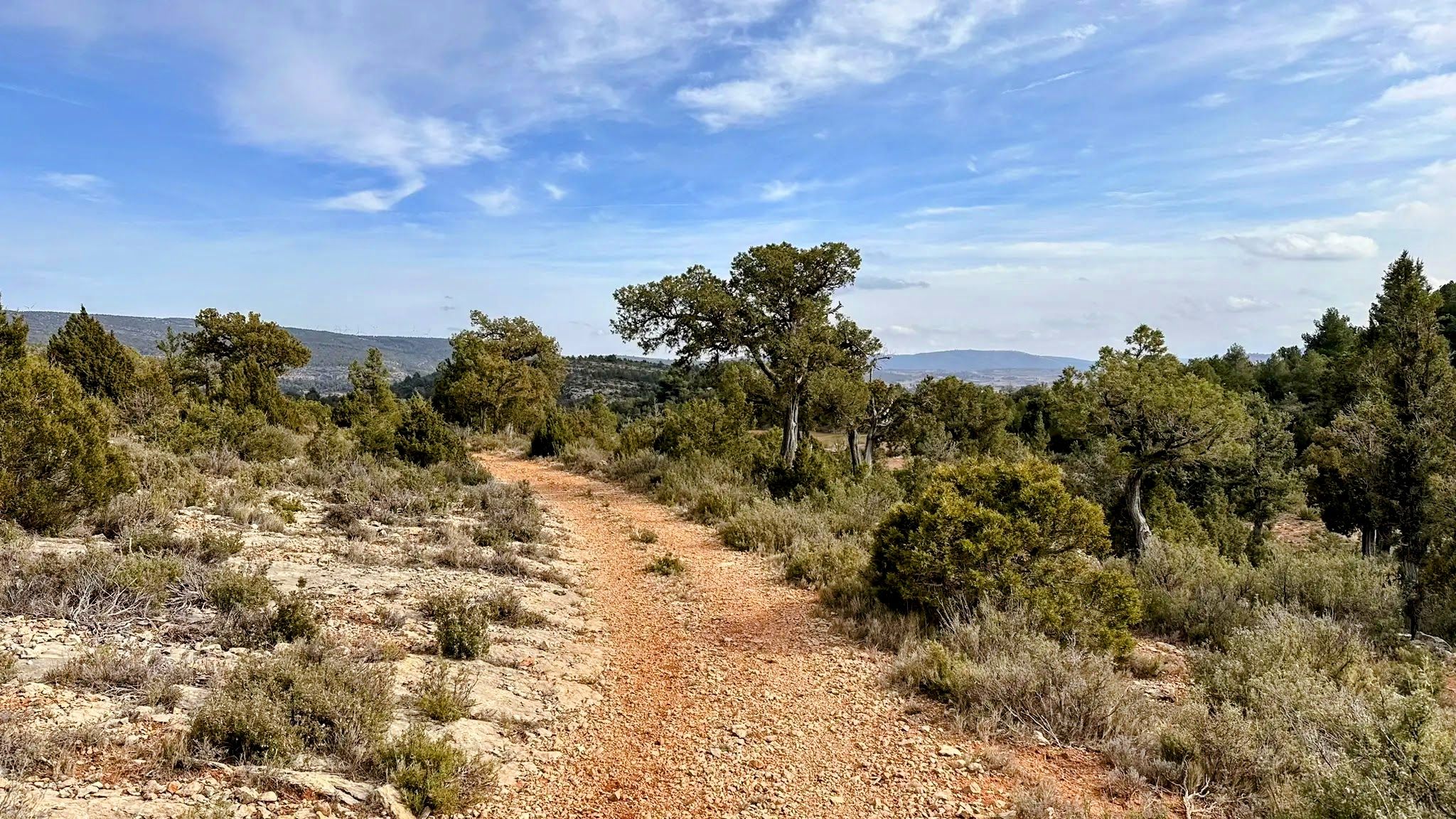
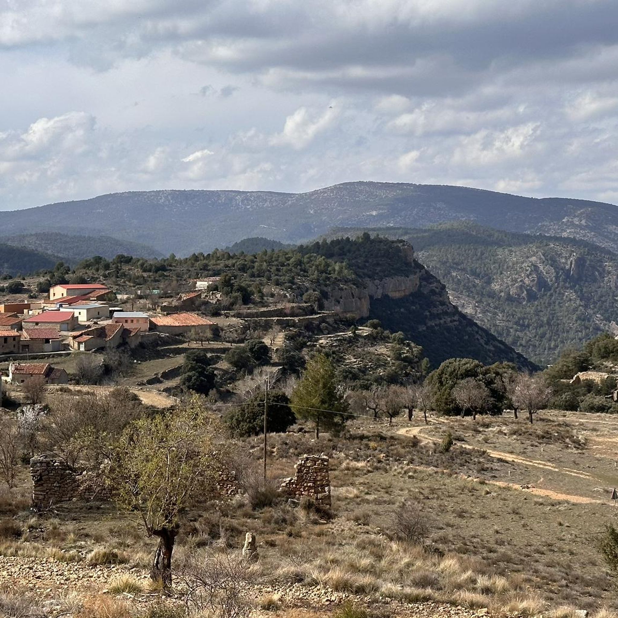
Jogging routes around Aras De Los Olmos traverse a landscape characterized by vast forest masses, the Turia River, and its tributaries, situated within the Alto Turia Biosphere Reserve. The region's varied topography includes ravines, dense pine forests, and ancient juniper woodlands, offering diverse terrain for runners. Elevations range from gentle paths along riverbanks to more challenging ascents towards prominent hills, providing a range of running experiences.
Best jogging routes around Aras De Los Olmos
- The most popular jogging route is…
Last updated: June 28, 2026
6
runners
Hard run. Very good fitness required. Mostly paved surfaces. Suitable for all skill levels.
1
runners
Hard run. Very good fitness required. Mostly accessible paths. Some sure footedness required.

Sign up for free
16
runners
Hard run. Very good fitness required. Mostly paved surfaces. Suitable for all skill levels.
12
runners
27.7km
03:59
1,180m
1,180m
Hard run. Very good fitness required. Mostly paved surfaces. Suitable for all skill levels.
8
runners
18.8km
02:28
510m
510m
Hard run. Very good fitness required. Mostly paved surfaces. Suitable for all skill levels.
Get access to more routes and recommendations from other explorers.
Sign up for free
Already have an account?
Our route recommendations are based on thousands of hikes, rides, and runs completed by other people on komoot.
Start today with a free account
Your next adventure awaits.
Login or Signup
Other adventures around Aras De Los Olmos

Tips from the Community

The Los Arcos aqueduct, located in Alpuente, is a 16th and 17th-century hydraulic structure that supplied water to the town and its orchards. With its thirteen pointed arches and a length of 265 meters, the arcade bridged the uneven level of the Reguero River, although the main arch was lost in a flood in 1880. Today, it is preserved as a Site of Cultural Interest and can be easily visited from the road to La Yesa. It is an interesting spot for combining history and hiking; good footwear is recommended to explore the surroundings.
2
0
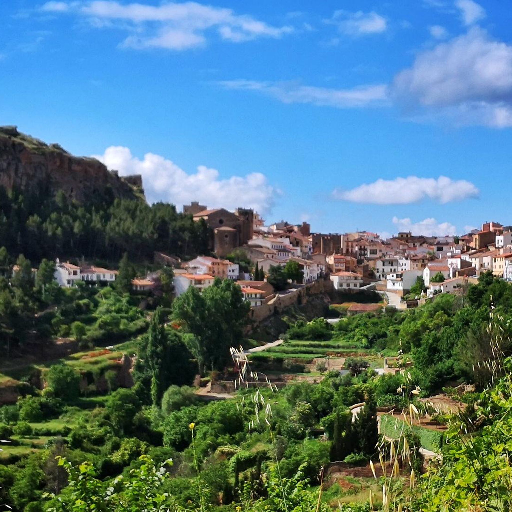
Alpuente is a picturesque town in the Los Serranos region, surrounded by mountains and ravines, making it an ideal destination for hiking enthusiasts. Its historic center preserves remains of walls, towers, and the medieval castle, as well as an interesting paleontological museum with dinosaur fossils. From the town, you can take a 46-kilometer trail that connects its numerous villages, a good option for exploring its natural and rural surroundings. The terrain is rocky and uneven, so it's advisable to wear comfortable shoes and bring water, especially in summer.
1
0

Beautiful views in all directions offered by the viewpoint of La Sierra. Together with the neighboring viewpoint of the Pulpitejo, they make up an entertaining track that will allow you to enjoy this area of Cuenca.
1
0
A very privileged site with amazing views on all sides, chosen by many athletes to challenge the demanding climb. The peak of Picón del Buitre is located at 1956 meters above sea level and was chosen to build the Astronomical Observatory given its remote location, altitude and low light pollution.
2
0
The top of Picón del Buitre at 1956 meters above sea level was chosen as the ideal site to build the Astronomical Observatory. Its remote location, altitude, and low light pollution from cities is all that is needed to be able to observe the stars at night. During the day it is a very privileged place with amazing views on all sides, chosen by many hikers and cyclists to challenge the demanding climb.
2
0
A very pretty town located in a very picturesque setting within the region of La Serranía. You can see very nice views both from the town and from the road to there. A highly recommended place to visit.
1
0

In the Hoz de Alpuente, there is the Reguero ravine, a place where there is, at one point, a waterfall and a pool worth visiting.
9
0

A must visit village. Dramatic location with stunning views over the Los Serranos region
0
1
Frequently Asked Questions
How many running routes are available in Aras de los Olmos?
There are 7 dedicated running routes around Aras de los Olmos, offering a variety of experiences for different fitness levels. These routes traverse diverse landscapes, from riverbanks to challenging mountain ascents.
What kind of terrain can I expect on the running trails in Aras de los Olmos?
Runners in Aras de los Olmos can expect a varied topography. Trails wind through vast forest masses, along the Turia River and its tributaries, and feature ravines, dense pine forests, and unique ancient juniper woodlands. Elevations range from gentle paths to more demanding ascents towards prominent hills.
Are there running routes suitable for beginners or those looking for an easier run?
While many routes offer a challenge, there are moderate options available. For example, the Aras de los Olmos loop from Aras de los Olmos is a moderate 3.2-mile (5.2 km) trail that can be completed in about 34 minutes, offering a pleasant run through local terrain.
Can I find challenging trail runs in the Aras de los Olmos area?
Yes, Aras de los Olmos offers several challenging trail runs. For experienced runners, the Picón del Buitre - Astrophysical Observatory of Javalambre – circular trail run from Arcos de las Salinas is a difficult 11.6-mile (18.7 km) route with significant elevation gain. Another demanding option is the Mirador del Pulpitejo – trail run circular from Talayuelas via the Sendero de la Sierra, a difficult 6.7-mile (10.8 km) path.
Are there any circular running routes in Aras de los Olmos?
Yes, several routes are circular, allowing you to start and finish in the same location. A popular option is the Aras de los Olmos loop from Aras de los Olmos. Additionally, the Mirador del Pulpitejo – trail run circular from Talayuelas via the Sendero de la Sierra and the Cerro de la Moratilla loop from Titaguas are also circular options.
What interesting landmarks or natural features can I see along the running routes?
Many running routes offer access to significant natural and historical sites. You can explore the unique Ancient juniper forest, discover dinosaur footprints at the Dino Route of Aras de los Olmos, or enjoy panoramic views from the Climb to Pico del Buitre from Arcos de las Salinas. The region is also part of the Alto Turia Biosphere Reserve, offering rich biodiversity along the Turia River.
Are there any running paths that pass by water features or offer river views?
Yes, Aras de los Olmos is situated between the Turia and Arcos rivers, so many routes incorporate these water features. The Turia River itself forms beautiful landscapes with its forests and mountains, providing picturesque backdrops for runs. Some trails, like the SL-CV 22 - Barranco Regajo, even pass through ravines with seasonal waterfalls.
Are the running trails in Aras de los Olmos suitable for families?
While specific family-friendly running routes are not detailed in the guide, the region offers varied trails. The SL-CV 22 - Barranco Regajo is mentioned as a short, family-friendly option for walking through traditional orchards and ravines. When planning a run with family, consider shorter, less challenging routes and check the terrain beforehand.
Where can I find parking for the running routes in Aras de los Olmos?
The region features several well-maintained recreational areas such as Los Rubiales, La Araña, Los Antolines, and Los Mangranos. These areas are often nestled among pine trees and provide pleasant starting points for longer jogging sessions, typically offering parking facilities.
What is the best time of year for jogging in Aras de los Olmos?
Aras de los Olmos offers diverse conditions throughout the year. Spring and autumn generally provide mild temperatures ideal for running. The region's status as a Starlight Destination also makes it appealing for evening runs followed by stargazing, especially during clearer nights.
Are dogs allowed on the running trails in Aras de los Olmos?
While the guide does not specify dog-friendly rules for individual routes, many natural areas in Spain permit dogs on trails, often requiring them to be on a leash. It's always advisable to check local regulations or signage at trailheads to ensure compliance and respect for wildlife and other users.
Are there any routes that offer panoramic viewpoints?
Absolutely. For those seeking rewarding views, the climb to Pico del Buitre from Arcos de las Salinas offers panoramic vistas. Another route, the Senda Verde, ascends to the Muela del Buitre, providing spectacular views of the Serranía and beyond. The Mirar Bueno Viewpoint is also a notable spot for scenic outlooks.
Most popular attractions around Aras De Los Olmos

Get inspired with the komoot mobile app


Explore more
Browse the best Running Trails & Routes in other regions.
