The best road cycling routes in Bezirk Bruck-Mürzzuschlag
4.4
(830)
17,697
riders
167
rides
Road cycling routes in Bezirk Bruck-Mürzzuschlag traverse a diverse landscape of alpine mountain scenery, river valleys, and rolling hills within Styria, Austria. The region features well-maintained routes along the Mur and Mürz rivers, offering varied terrain suitable for different skill levels. Cyclists can encounter challenging mountain passes like Semmering Pass and Gaberlpass, alongside gentler paths through areas such as the Bucklige Welt. This combination provides a range of experiences from significant elevation gains to more relaxed rides.
Best road cycling…
Last updated: October 5, 2026
4.3
(16)
366
riders
79.9km
03:51
1,080m
1,080m
Hard road ride. Very good fitness required. Mostly well-paved surfaces and easy to ride.
4.1
(9)
345
riders
Moderate road ride. Good fitness required. Mostly well-paved surfaces and easy to ride.

5.0
(1)
215
riders
102km
05:18
1,700m
1,700m
Hard road ride. Very good fitness required. Mostly well-paved surfaces and easy to ride.
3.9
(10)
318
riders
Moderate road ride. Good fitness required. Mostly well-paved surfaces and easy to ride.
4.0
(8)
281
riders
65.5km
03:10
840m
840m
Moderate road ride. Good fitness required. Mostly well-paved surfaces and easy to ride.
4.3
(10)
290
riders
65.3km
03:16
920m
920m
Hard road ride. Very good fitness required. Mostly well-paved surfaces and easy to ride.
3.9
(21)
279
riders
60.0km
02:41
470m
470m
Moderate road ride. Good fitness required. Mostly well-paved surfaces and easy to ride.
3.7
(6)
224
riders
54.9km
02:57
960m
960m
Hard road ride. Very good fitness required. Mostly well-paved surfaces and easy to ride.
4.1
(27)
228
riders
Moderate road ride. Good fitness required. Some segments of this route may be unpaved and difficult to ride.
5.0
(4)
136
riders
100km
05:01
1,460m
1,460m
Hard road ride. Very good fitness required. Mostly well-paved surfaces and easy to ride.
Get access to more routes and recommendations from other explorers.
Already have an account?
Our route recommendations are based on thousands of hikes, rides, and runs completed by other people on komoot.
Start today with a free account
Your next adventure awaits.
Popular around Bezirk Bruck-Mürzzuschlag
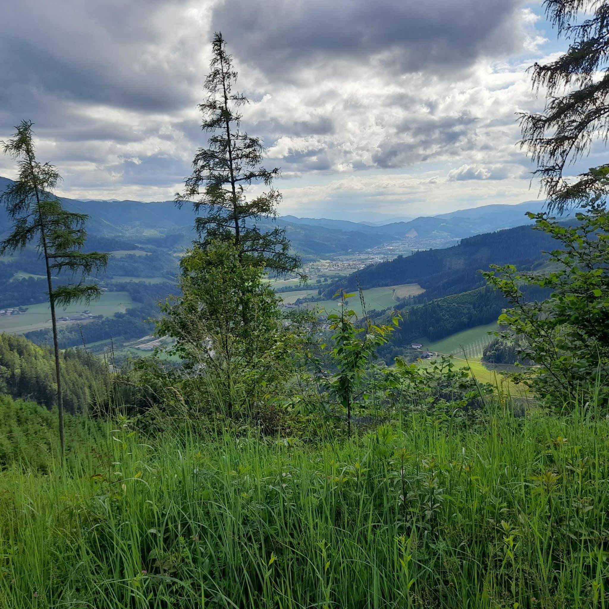
Road Cycling Routes around Kapfenberg
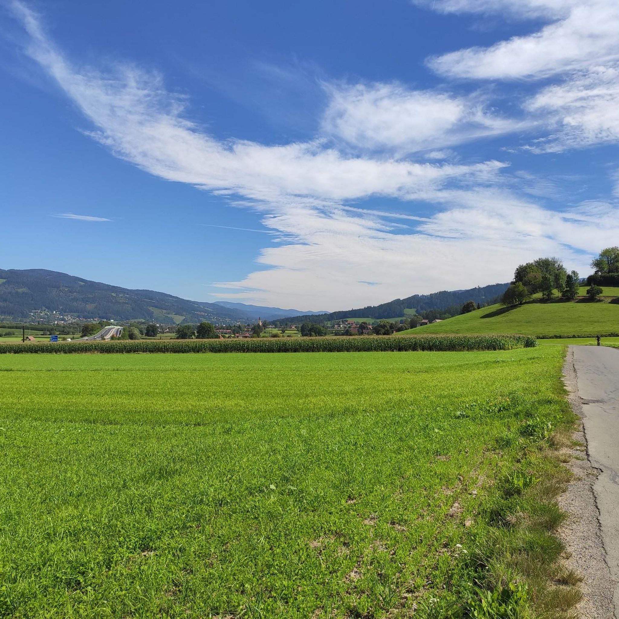
Road Cycling Routes around Kindberg
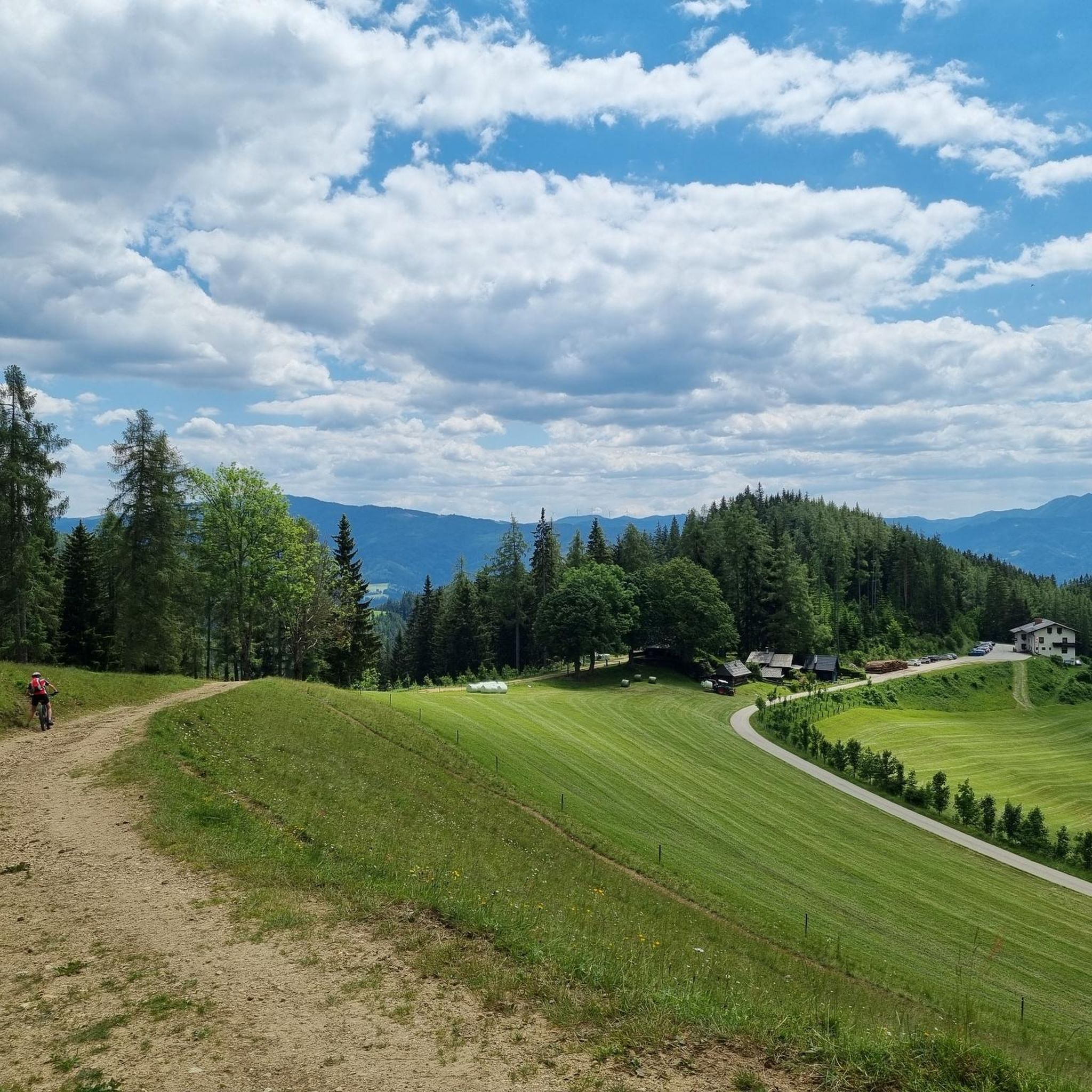
Road Cycling Routes in Herzogberg
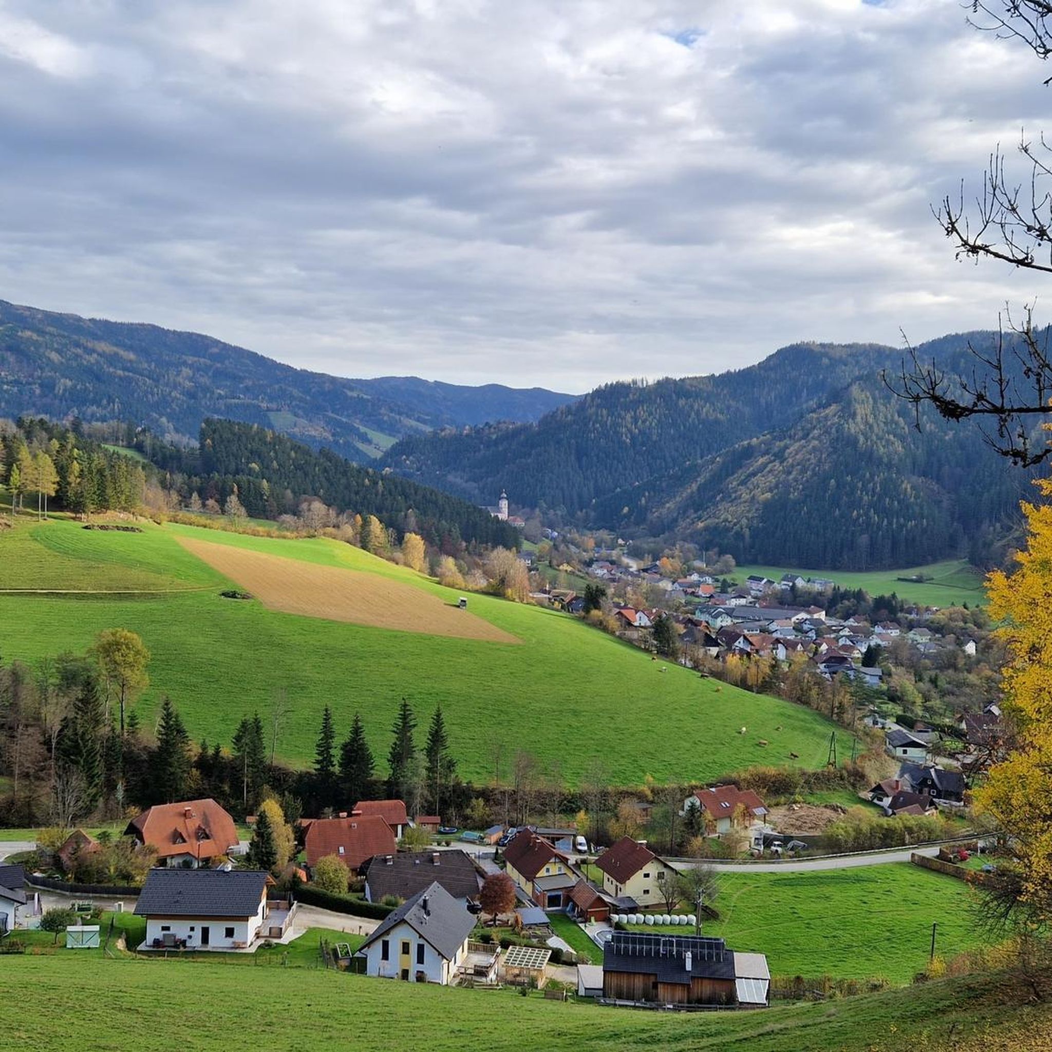
Road Cycling Routes around Stanz im Mürztal
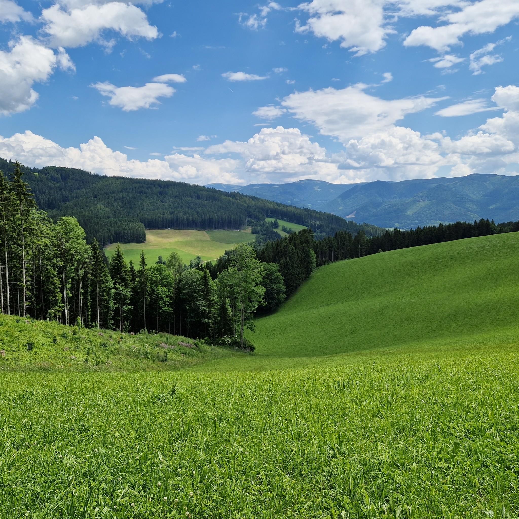
Road Cycling Routes around Krieglach
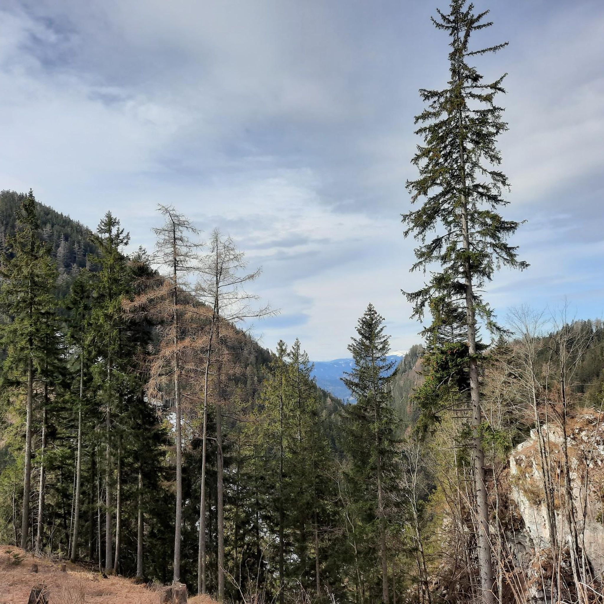
Road Cycling Routes around Pernegg an der Mur
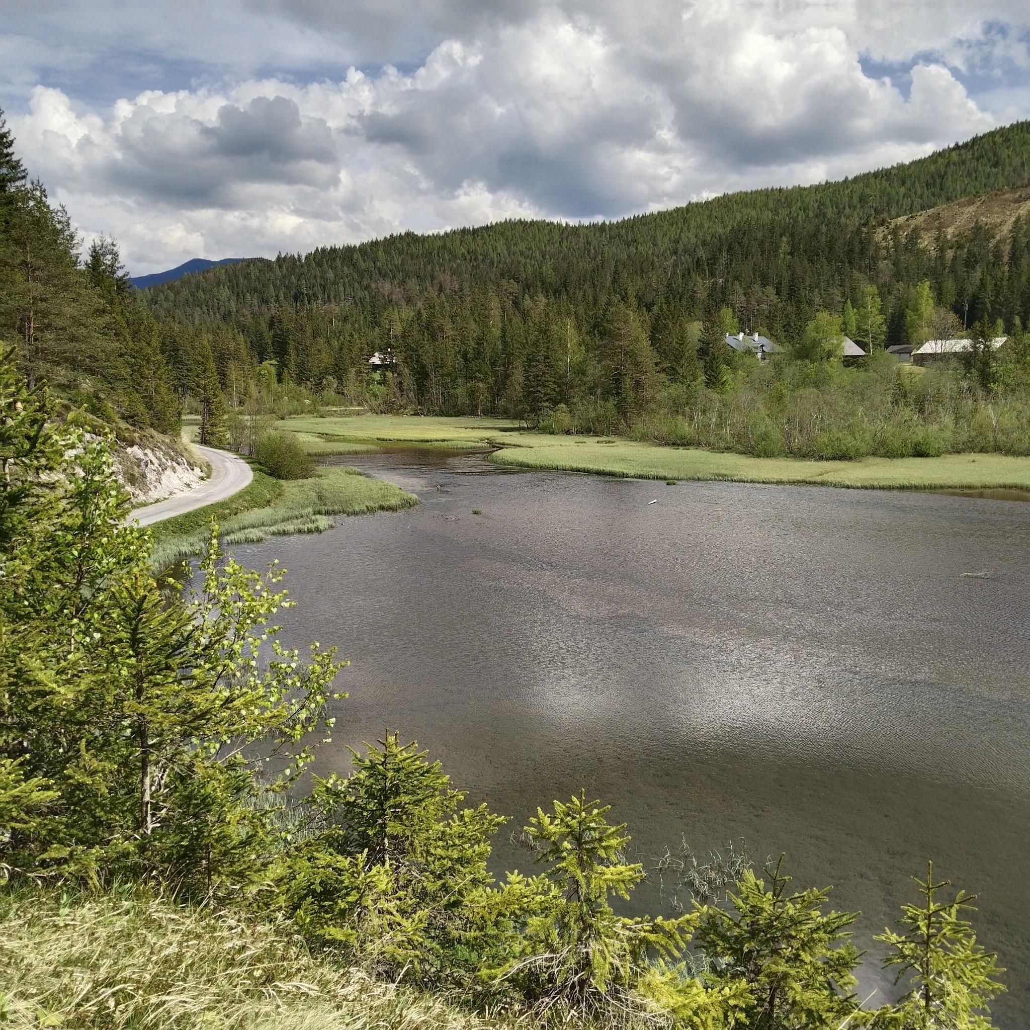
Road Cycling Routes around Mariazell
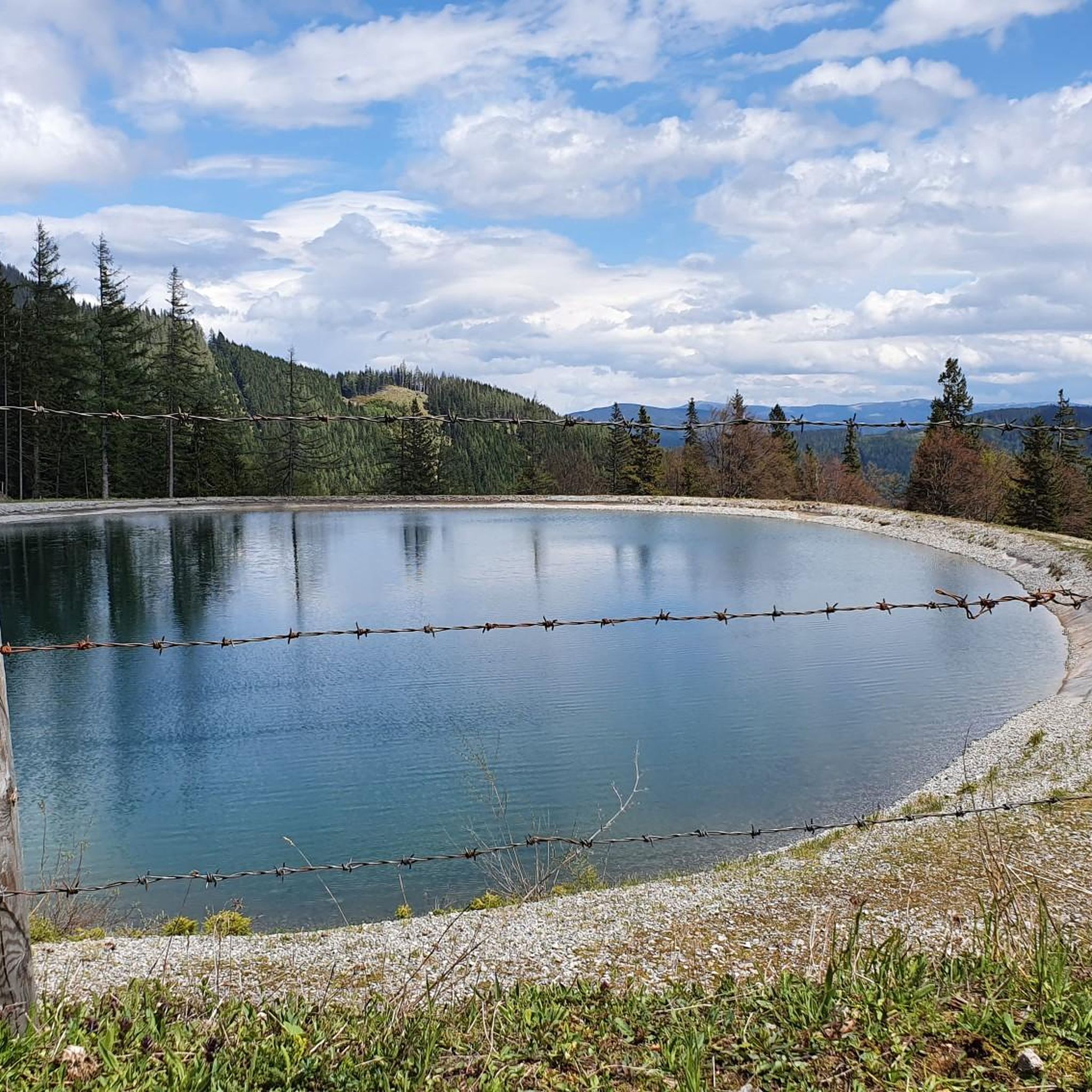
Road Cycling Routes around St. Barbara im Mürztal
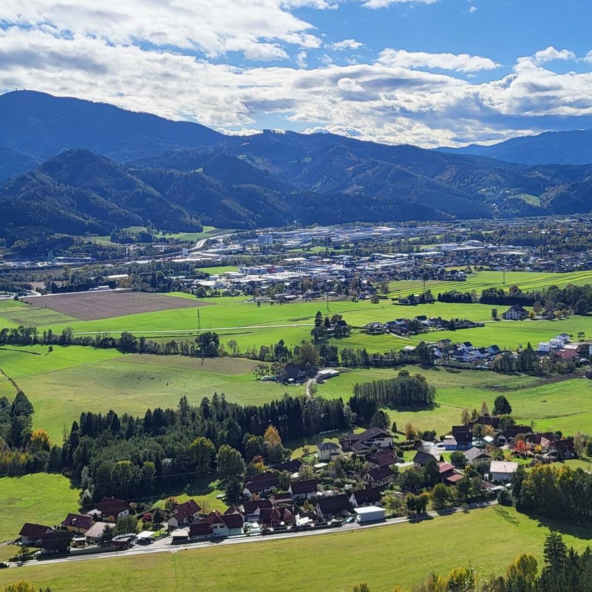
Road Cycling Routes around Sankt Lorenzen im Mürztal
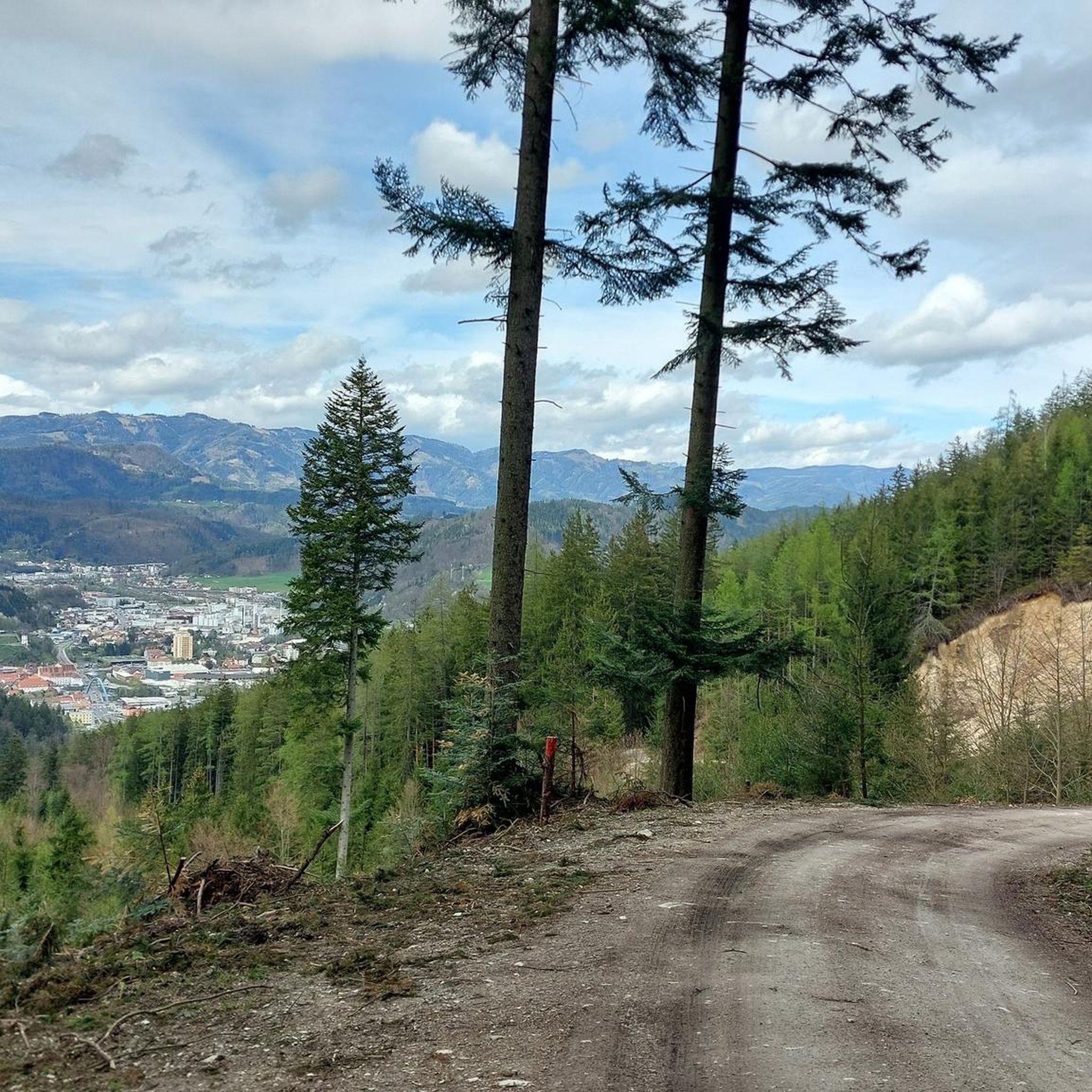
Road Cycling Routes around Bruck an der Mur
Other adventures in Bezirk Bruck-Mürzzuschlag


Tips from the Community

Nice spot for a break
3
0

Rest stop, nice table with benches near the Mur river. Unfortunately, also not far from the Bundestrasse.
0
0

Beautiful cycle path next to the Mürz river.
0
0

Beautiful passage at the entrance to Mariazell
3
0

Seebergsattel alpine landscape
0
0
Old Big Wheel on the Mürz
3
0
Frequently Asked Questions
What kind of terrain can I expect on road cycling routes in Bezirk Bruck-Mürzzuschlag?
The region offers a diverse landscape for road cycling, ranging from alpine mountain scenery and challenging passes like the Semmering Pass and Gaberlpass to picturesque river valleys along the Mur and Mürz rivers, and rolling hills in areas such as the Bucklige Welt. You'll find routes with significant elevation gains as well as flatter, more relaxed sections.
Are there road cycling routes suitable for beginners or families?
Yes, the region provides options for all skill levels. For a more relaxed experience, the Mürztalradweg (R5) is particularly family-friendly, running mostly downhill or on flat, wide paths along the Mürz River. Routes like the Feistritz Castle – Main Square Kindberg loop from Kapfenberg Fachhochschule also offer moderate difficulty with scenic river valley views.
What are some notable landmarks or attractions I can see along the road cycling routes?
Many routes pass by historical and natural sights. Along the Mürz River, you might encounter attractions like the Stift Neuberg monastery or Burg Oberkapfenberg. In Bruck an der Mur, the historic Kornmesserhaus and the Schlossberg with its clock tower are prominent. Challenging routes often lead to scenic viewpoints like the Pfaffensattel Pass (1368 m) or offer views of the Oberkapfenberg Castle.
When is the best time of year for road cycling in Bezirk Bruck-Mürzzuschlag?
The best seasons for road cycling in Bezirk Bruck-Mürzzuschlag are typically spring, summer, and autumn. During these months, the weather is generally mild and stable, providing ideal conditions for exploring the region's diverse routes.
How many road cycling routes are available in the Bezirk Bruck-Mürzzuschlag region?
There are over 170 road cycling routes available in Bezirk Bruck-Mürzzuschlag, catering to various difficulty levels from easy to difficult. This extensive network ensures a wide range of options for every cyclist.
Are there challenging road cycling routes with significant elevation gains?
Absolutely. The region is known for its challenging routes, especially in areas like the Semmering-Rax region and around the Hochschwab. Routes such as the Preiner Gscheid Pass (1070 m) – Preiner Gscheid Pass loop from Langenwang/Mürz feature significant climbs and alpine terrain, while the Gaberlpass is known for its steep serpentines and panoramic views.
What do other road cyclists appreciate most about cycling in this region?
The road cycling routes in Bezirk Bruck-Mürzzuschlag are highly rated by the komoot community, with an average score of 4.4 stars from over 330 reviews. Cyclists often praise the scenic beauty, the variety of terrain from river valleys to mountain passes, and the well-maintained routes that offer diverse riding experiences.
Can I find routes that offer panoramic views?
Yes, the region boasts several spots with spectacular views. Mountain passes like Semmering Pass and Gaberlpass offer breathtaking vistas over the Mur Valley and surrounding alpine landscapes. The Hirschenkogel, with its Millenniumswarte observation tower, provides 360-degree panoramic views of the Semmering region, Rax, Schneeberg, and into Styria.
Are there any castles or ruins to explore along the routes?
Yes, the region is home to several historic castles and ruins. You can find Pichl Castle, Oberkapfenberg Castle, and the Landskron Castle Ruins and Clock Tower (Schlossberg Bruck an der Mur). These historical sites often provide interesting stops and photo opportunities during your ride.
What are the main natural features that define the cycling landscape?
The landscape is primarily shaped by the Mur and Mürz rivers, which feature popular cycling paths along their courses. Key mountain ranges include the Hochschwab region, the rolling hills of Eastern Styria and the Bucklige Welt, and the mountainous Semmering-Rax region. These diverse features create varied cycling experiences, from flat river paths to challenging mountain climbs.
Are there any specific routes that follow river valleys?
Yes, the region is well-known for its river valley routes. The Mürztalradweg (R5) is a prime example, following the Mürz River for 68 kilometers. Another route, the Main Square Kindberg – Mürz River Trail loop from St.Marein-St.Lorenzen, also leads through the scenic Mürz River valley.
What kind of cycling infrastructure can I expect?
The region is renowned for its well-developed cycling infrastructure, featuring both flat and challenging routes. You'll find well-maintained paths, particularly along the river valleys, and roads with low traffic, especially in scenic areas. This infrastructure supports a wide range of cycling experiences for all levels.
Most popular routes in Bezirk Bruck-Mürzzuschlag
Most popular attractions in Bezirk Bruck-Mürzzuschlag

Get inspired with the komoot mobile app


Didn’t find what you were looking for?
Check out more Road cycling routes throughout Bezirk Bruck-Mürzzuschlag below and find the perfect route in your destination.
Explore more
Browse the best Road cycling routes in other regions.
