The best road cycling routes around Valsequillo
29
riders
2
rides
Road cycling around Valsequillo offers diverse terrain, ranging from 400 to 1,800 meters above sea level, characterized by its volcanic past. The region features deep ravines, volcanic craters, and significant elevation changes, providing varied challenges for cyclists. Roads often ascend towards central peaks, presenting numerous opportunities for demanding climbs and descents across the island's interior.
Best road cycling routes around Valsequillo
- The most popular road cycling route is Hinojosa del Duque from Peñarroja-Pueblonuevo — circular by Villanueva del Duque,…
Last updated: June 26, 2026
8
riders
Moderate road ride. Good fitness required. Mostly well-paved surfaces and easy to ride.
1
riders
100km
03:29
890m
890m
Cycle the Camino Mozarabe from Monterrubio de la Serena to Hinojos del Duque, a 62.3-mile route through dehesa and olive groves.

Sign up for free
9
riders
Moderate road ride. Good fitness required. Mostly well-paved surfaces and easy to ride.
7
riders
55.4km
02:30
550m
550m
Moderate road ride. Good fitness required. Mostly well-paved surfaces and easy to ride.
3
riders
72.5km
03:04
550m
550m
Moderate road ride. Good fitness required. Mostly well-paved surfaces and easy to ride.
Our route recommendations are based on thousands of hikes, rides, and runs completed by other people on komoot.
Start today with a free account
Your next adventure awaits.
Login or Signup
Popular around Valsequillo
Tips from the Community

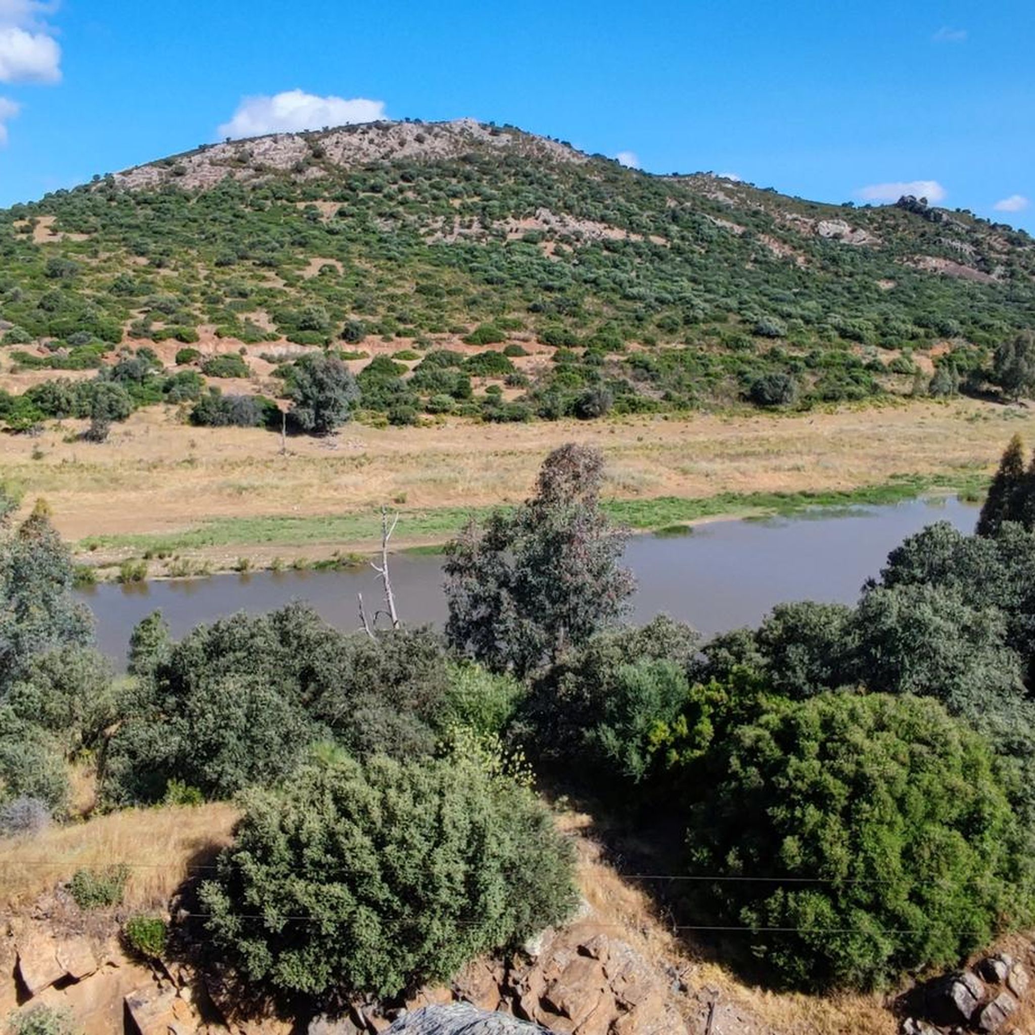
It is recommended to stop and enjoy Sport Fishing
0
0
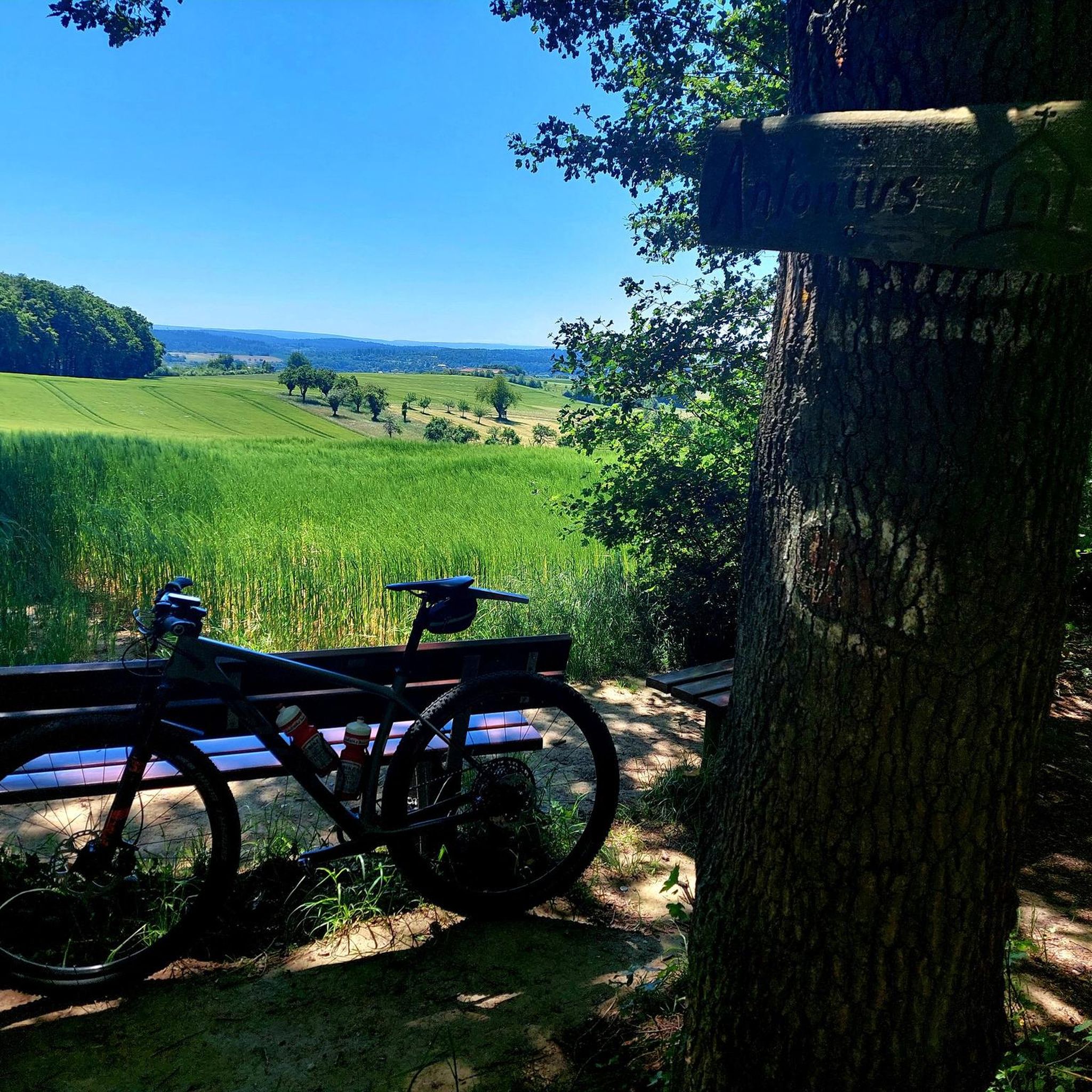
Beautiful view, very cool!!!
0
1
Senior Residence The Management
0
0

Belmez Castle is a historic fortress located in Belmez. It stands majestically on a high limestone rock, offering a stunning view of the village and surrounding areas. The castle dates back to at least 1245, with significant additions made in the 15th century. It played an important role during the Reconquista and was occupied by French troops during the Peninsular War (1810-1812). The castle features a pentagonal Keep, six semicircular towers and a zigzag staircase leading up to it. If you're planning a visit, it's open daily and admission is free.
6
0

Villanueva del Rey is a Spanish municipality in the province of Córdoba, Andalusia. In 2016 it had 1,088 inhabitants. Its surface area is 214 km² and it has a density of 5.7 inhabitants/km². It is located in the Guadiato Valley region, at an altitude of 555 meters.
0
0
Fuente Obejuna is a municipality and Spanish town in the province of Córdoba, in Andalusia. The Roman villa of Mellaria was located about 8 km from the urban center. It is famous for the historical events of the 15th century that inspired the play Fuenteovejuna written by Lope de Vega.
0
0
Cañada del Gamo is a village that belongs to the municipality of Fuente Obejuna, 6.7 km from the municipality. It is located in the north of the province of Córdoba, Spain. It is located approximately 100 km from the capital, Córdoba, and is an ideal place to rest, away from the hustle and bustle of urban areas.
0
0
Ojuelos Bajos is a Spanish town in the municipality of Fuente Obejuna, belonging to the province of Córdoba, in the autonomous community of Andalusia.
0
0
Frequently Asked Questions
What kind of terrain and elevation changes can I expect when road cycling in Valsequillo?
Road cycling in Valsequillo offers diverse terrain, ranging from 400 to 1,800 meters above sea level. The region is characterized by its volcanic past, featuring deep ravines, volcanic craters, and significant elevation changes. You'll encounter numerous opportunities for demanding climbs and descents as roads often ascend towards the central peaks of Gran Canaria.
Are there any notable landmarks or natural features to see while road cycling in Valsequillo?
Yes, Valsequillo's routes often pass through areas with significant natural beauty and landmarks. You might encounter the dramatic landscapes of the Tenteniguada volcano crater, or enjoy views towards iconic sites like Peñón de Peñarroya. The region is also known for its extensive network of ravines like Barranco de Los Cernícalos and San Miguel, offering scenic backdrops.
What is the best time of year for road cycling in Valsequillo?
Valsequillo is suitable for road cycling year-round due to Gran Canaria's mild climate. However, late January and February are particularly picturesque, as the almond trees in areas like Tenteniguada are in full bloom. The mountainous terrain means weather can vary with elevation, so checking local forecasts is always advisable.
Are there any family-friendly road cycling options in Valsequillo?
While Valsequillo is known for its challenging mountainous terrain, which might be demanding for young families, some routes offer more moderate sections. For a more relaxed experience, consider exploring the flatter parts of the region or recreational areas like El Troncón, which offers amenities for families, though not specifically road cycling trails.
What is the typical difficulty level of road cycling routes in Valsequillo?
The road cycling routes in Valsequillo are generally considered moderate to difficult, featuring significant elevation gains and descents. For example, routes like Hinojosa del Duque from Peñarroja-Pueblonuevo — circular by Villanueva del Duque and Monterrubio de la Serena and Hinojosa del Duque Loop are rated as moderate, indicating they involve considerable climbs and distances suitable for experienced road cyclists.
Are there any circular road cycling routes available in Valsequillo?
Yes, many road cycling routes in Valsequillo are designed as loops, allowing you to start and end at the same point. Examples include the Peñarroja-Pueblonuevo – Sierra Boyera Reservoir loop from Peñarroya-Pueblonuevo, which takes you through varied terrain and offers reservoir views, and the Sierra Boyera Reservoir – Belmez Castle loop from Peñarroya-Pueblonuevo.
What are some of the longer road cycling routes in the Valsequillo area?
For those seeking longer rides, the Monterrubio de la Serena and Hinojosa del Duque Loop covers over 100 kilometers (62.3 miles), traversing rolling hills with expansive views. Another substantial option is the Hinojosa del Duque from Peñarroja-Pueblonuevo — circular by Villanueva del Duque, which is approximately 85 kilometers (52.8 miles) long.
Are there any specific attractions or towns I should look out for on a road cycling tour?
Road cycling routes often pass through picturesque villages like Tenteniguada and Vega de San Mateo, offering glimpses into local life and stunning scenery. The town center of Valsequillo itself is worth exploring, with historic houses and the Church of San Miguel. You might also encounter the Peñarroja-Pueblonuevo area, which features monuments like the Statue of El Terrible Dog.
What do other road cyclists enjoy most about road cycling in Valsequillo?
The komoot community frequently praises Valsequillo for its varied and challenging terrain, offering significant elevation changes and panoramic views. Cyclists appreciate the opportunity to tackle demanding climbs and descents while experiencing the dramatic volcanic landscapes and picturesque villages of Gran Canaria's interior.
Are there any specific natural reserves or protected areas that road cyclists can experience in Valsequillo?
Yes, the region is home to the Los Marteles Special Natural Reserve and Caldera de Los Marteles, an elliptical volcanic crater considered a geological point of interest. While the caldera itself is a starting point for hiking trails, road cycling routes in the vicinity offer views of this protected area and its unique landscape.
Can I find cafes or places to rest along the road cycling routes in Valsequillo?
While specific cafes on every route are not detailed, routes often pass through villages such as Tenteniguada and Vega de San Mateo, where you can typically find local establishments for refreshments. The town center of Valsequillo also offers various amenities, including places to eat and rest.
Are there any permits required for road cycling in the Valsequillo area?
Based on available information, there are no specific permits mentioned as being required for general road cycling in the Valsequillo area. However, it's always a good practice to respect local regulations and private property when planning your routes.
Most popular routes around Valsequillo
Most popular attractions around Valsequillo

Get inspired with the komoot mobile app


Explore more
Browse the best Road cycling routes in other regions.
