The best MTB trails around Navas De San Antonio
4.6
(32)
300
riders
89
rides
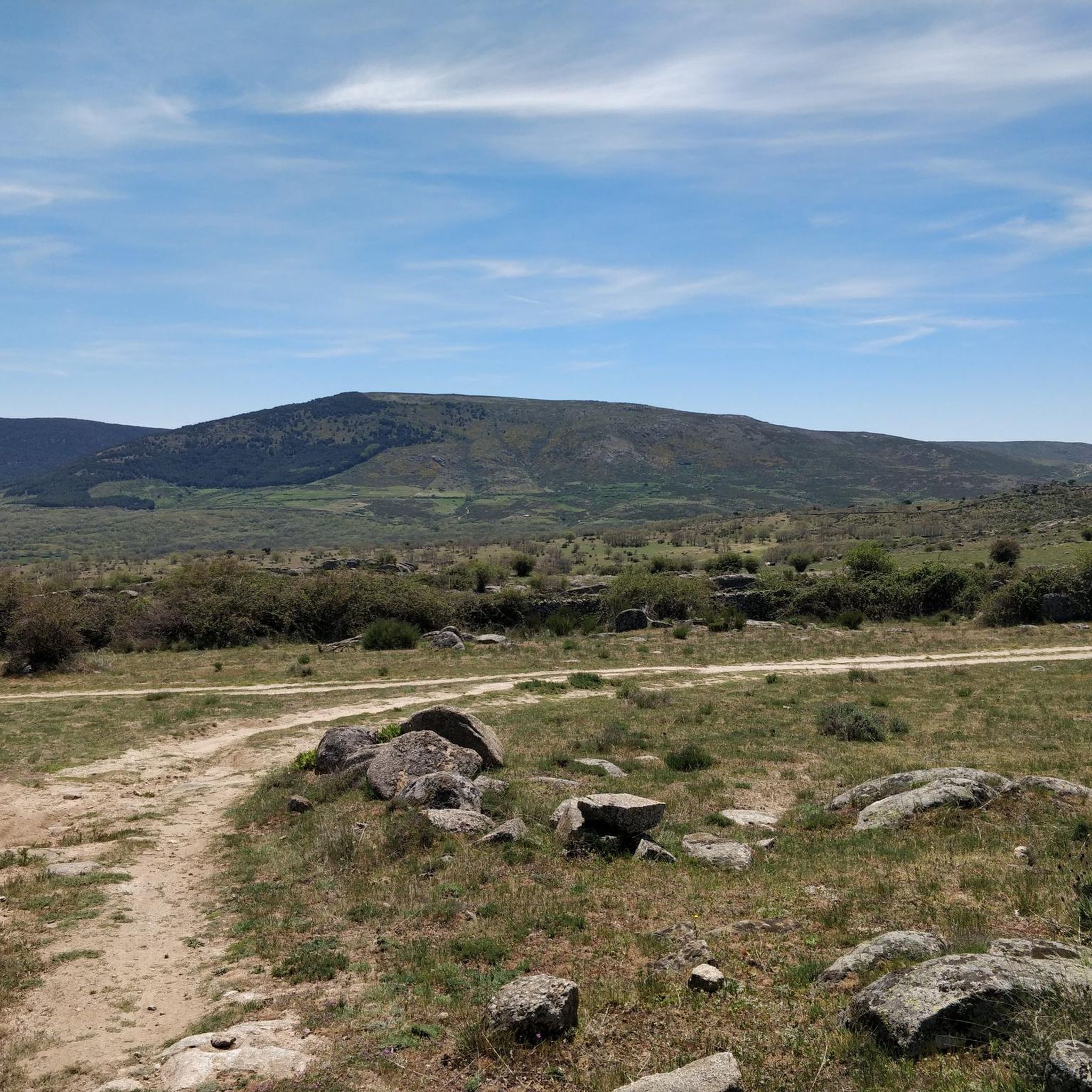
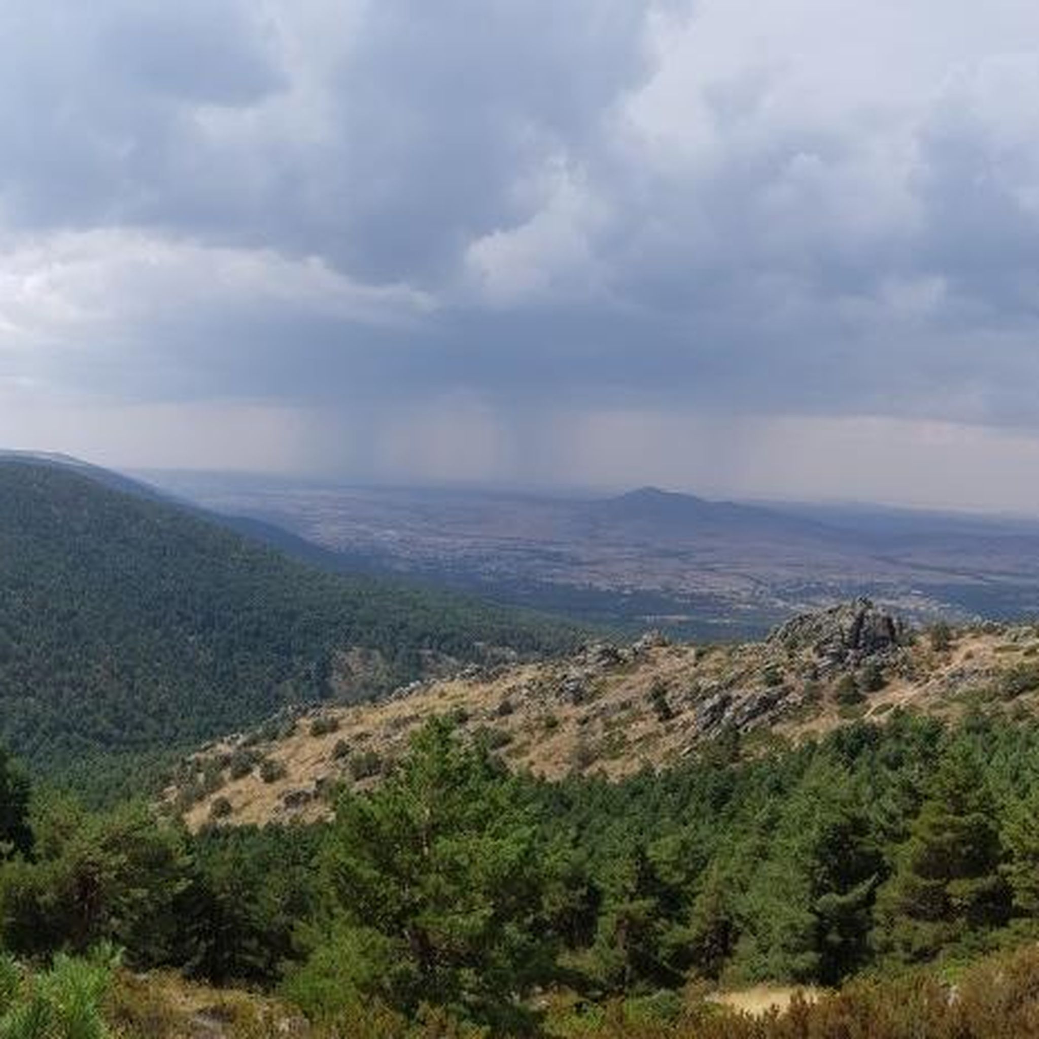
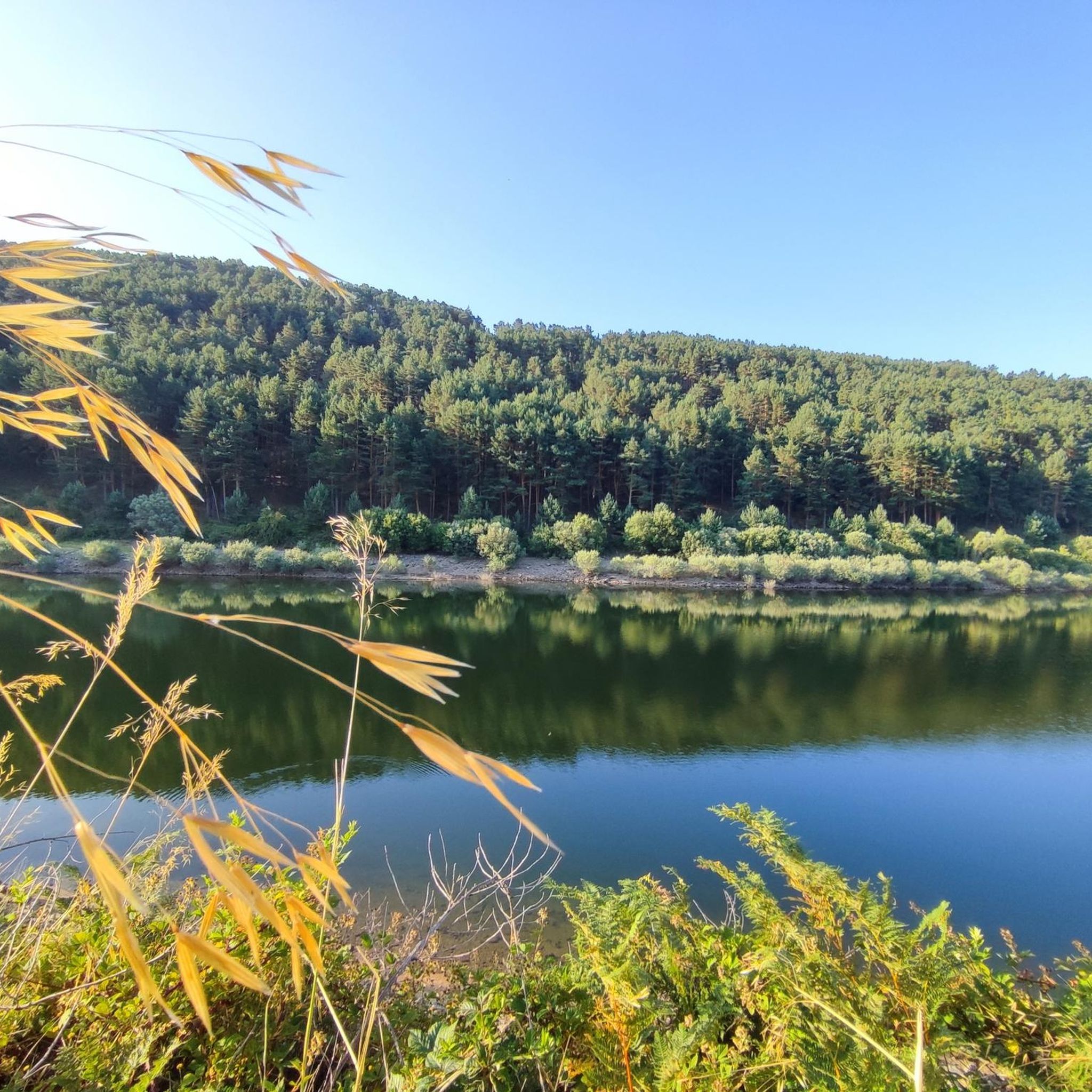
Mountain biking around Navas De San Antonio offers diverse terrain within a tranquil municipality in Segovia, Spain. The area is characterized by a wide valley, bordered by the Sierra de Malagón to the south and the distinctive Calocos mountains. Pine forests and a network of paths provide varied landscapes for cycling, extending into the wider Segovia province and the nearby Sierra de Guadarrama National Park.
Best mountain bike trails around Navas De San Antonio
- The most popular mountain bike trail is Vegas de Matute – La Losa Hermitage loop from Urbanización Coto de San Isidro, a 21.9 miles (35.2 km) trail that takes 3 hours 10 minutes to complete. This moderate route traverses varied landscapes, including forested sections.
- Another top favourite among local mountain bikers is The Lovers' Bridge – Río Moros Cliff loop from Ituero y Lama, a moderate 24.3 miles (39.0 km) path. This route offers scenic views along the Río Moros and through natural features.
- Local mountain bikers also love the El Cubillo Hermitage – Maello loop from Navas de San Antonio, a 31.1 miles (50.1 km) trail leading through rural landscapes and pine forests, often completed in about 3 hours 50 minutes.
- Mountain biking around Navas De San Antonio is defined by wide valleys, the Sierra de Malagón, and extensive pine forests. The network offers options for different ability levels, from moderate paths to more challenging routes in the surrounding mountains.
- The routes in Navas De San Antonio are highly rated by the komoot community with an average score of 4.5 stars from more than 20 reviews. More than 300 mountain bikers have used komoot to explore Navas De San Antonio's varied terrain.
Last updated: July 1, 2026
3.0
(1)
3
riders
Moderate mountain bike ride. Good fitness required. Suitable for all skill levels.
2
riders
39.0km
03:12
570m
570m
Moderate mountain bike ride. Good fitness required. Advanced riding skills necessary.

Sign up for free
4.5
(2)
5
riders
50.1km
03:51
620m
620m
Moderate mountain bike ride. Good fitness required. Suitable for all skill levels.
3
riders
38.6km
03:14
590m
590m
Moderate mountain bike ride. Good fitness required. Suitable for all skill levels.
5.0
(3)
9
riders
Moderate mountain bike ride. Good fitness required. Suitable for all skill levels.
Get access to more routes and recommendations from other explorers.
Sign up for free
Already have an account?
Our route recommendations are based on thousands of hikes, rides, and runs completed by other people on komoot.
Start today with a free account
Your next adventure awaits.
Login or Signup
Tips from the Community

A wooden observation platform, suspended over the Moros River gorge. Incredible views of the deep canyon and river below.
0
0
A wooden bridge over the Moros River canyon. This marks the start of the hike in the northern part of the river canyon before it descends towards the San Rafael Los Angeles Reservoir.
0
1
Valdeprados is a small, charming traditional Segovian town near the Moros River. You should look for the heritage buildings of the Iglesia Eulalia de Mérida and the Castillo De Sanguino on your visit.
1
0

This is one of the most impressive gorges that rise above the Río Moros and reach a height of more than forty meters.
1
0
From this crowded part of the municipality and close to the Ermita de San Roque, you can see good views of the town.
1
0
The Iglesia de San Sebastian is a building that is located at the entrance of the town and where it is surrounded by open spaces and this fact gives it a special air. Shaded space and nearby parking.
1
0
Beautiful hermitage that is located in the middle of a plain between the Sierras de Ojos-Albos and the Sierra de Malagón to the southeast. Place to take a break in a beautiful church.
1
0
On its arrival in the town, it is enclosed in large ridges that fall in rounded shapes where the nucleus is located in its lower part. The church, beautiful, there is usually a nest of storks that give it a special touch.
1
0
Frequently Asked Questions
How many mountain bike trails are available in Navas de San Antonio?
Navas de San Antonio offers a wide selection of mountain bike trails, with over 80 routes available for exploration. These routes cater to various skill levels, ensuring there's something for everyone.
What is the typical terrain like for mountain biking in Navas de San Antonio?
The terrain around Navas de San Antonio is quite diverse, characterized by a wide valley bordered by the Sierra de Malagón and the distinctive Calocos mountains. You'll encounter extensive pine forests, particularly around the Ermita de San Antonio del Cerro, and a network of paths that provide varied landscapes, from gentle tracks to more challenging mountain sections.
Are there mountain bike routes suitable for beginners in Navas de San Antonio?
Yes, there are routes suitable for beginners. While most trails are moderate, there are 4 routes specifically rated as easy, perfect for those new to mountain biking or looking for a more relaxed ride. These typically feature less elevation gain and smoother paths.
Are there challenging mountain bike routes for experienced riders?
Absolutely. For experienced riders seeking a challenge, Navas de San Antonio and its surrounding areas offer 27 difficult mountain bike routes. These trails often feature significant elevation changes and more technical sections, particularly as you venture into the Sierra de Guadarrama National Park, which is just 10 minutes away.
What do other mountain bikers say about the trails in Navas de San Antonio?
The mountain bike trails in Navas de San Antonio are highly regarded by the komoot community, with an average rating of 4.5 stars from over 20 reviews. More than 300 mountain bikers have explored the varied terrain, often praising the peaceful natural environment and the diverse landscapes, from pine forests to mountain views.
Are there circular mountain bike routes in the area?
Yes, many of the mountain bike routes in Navas de San Antonio are designed as loops, allowing you to start and finish in the same location. For example, the La Losa Hermitage – Ermita de San Antonio loop from Navas de San Antonio is a moderate 39.6 km circular route that takes you through varied landscapes.
What natural features or landmarks can I see while mountain biking?
You can discover several natural features and landmarks. The region is known for its impressive 'three Calocos' mountains and the 'inimitable forest' near the Ermita de San Antonio del Cerro. You might also encounter highlights like the Río Moros Cliff, the scenic The Lovers' Bridge, or various viewpoints such as Risca Viewpoint, Valdeprados, offering stunning vistas of the landscape.
Is there parking available near the mountain bike trails in Navas de San Antonio?
As a tranquil municipality, Navas de San Antonio generally offers accessible parking options within the town and at common starting points for routes. For specific trailheads, it's advisable to check the route details on komoot, as many tours, like the El Cubillo Hermitage – Maello loop from Navas de San Antonio, often start directly from the village or nearby accessible points.
What is the best time of year to go mountain biking in Navas de San Antonio?
The best time for mountain biking in Navas de San Antonio is typically during spring (April-June) and autumn (September-November). During these seasons, the weather is generally mild and pleasant, with comfortable temperatures for riding. Summers can be hot, while winters might bring colder temperatures, especially at higher elevations.
Are there any routes that pass by a reservoir or water body?
Yes, some routes in the broader region will take you near water bodies. For instance, you can find highlights like the Navalperal de Pinares Reservoir in the nearby natural monuments guide, which can be incorporated into longer rides or visited as a point of interest.
Can I find routes that offer significant elevation gain?
Yes, many routes in the area feature significant elevation gain, especially those venturing towards the Sierra de Malagón or the Sierra de Guadarrama. For example, the Vegas de Matute – La Losa Hermitage loop from Urbanización Coto de San Isidro includes over 620 meters of elevation gain, providing a good workout for your legs.
Are there any routes that explore the pine forests mentioned in the region?
Absolutely. The region is rich in pine forests, and many mountain bike routes traverse these areas. The El Cubillo Hermitage loop from Urbanización Coto de San Isidro, for example, is a moderate 44 km route that leads you through beautiful forested sections, allowing you to experience the natural tranquility of the area.
Most popular routes around Navas De San Antonio
Most popular attractions around Navas De San Antonio

Get inspired with the komoot mobile app


Explore more
Browse the best MTB trails in other regions.
