The best road cycling routes around Ariza
4.0
(3)
104
riders
13
rides
Road cycling routes around Ariza traverse a landscape characterized by rolling hills, river valleys, and historical landmarks. The region features varied terrain with significant elevation changes, offering routes that climb through rural areas and descend into scenic lowlands. Road cyclists can expect to encounter a mix of open countryside and routes passing near small villages. The area provides opportunities for extended rides across its diverse topography.
Best road cycling routes around Ariza
- The most popular road cycling route is Jaraba-Calmarza…
Last updated: July 7, 2026
6
riders
60.5km
02:55
880m
880m
The Jaraba-Calmarza Loop, listed as a racebike route, is primarily a hiking and mountain biking trail with challenging, unpaved sections.
4
riders
76.8km
03:41
940m
940m
This difficult 47.7-mile road cycling route from Ariza explores Cabolafuente, Embid de Ariza, Deza, and Bordalba, climbing 3098 feet.

Sign up for free
3
riders
Moderate road ride. Good fitness required. Mostly well-paved surfaces and easy to ride.
3.0
(1)
36
riders
85.1km
03:39
630m
630m
Moderate road ride. Good fitness required. Some segments of this route may be unpaved and difficult to ride.
4.0
(1)
16
riders
80.4km
04:15
1,230m
1,230m
Hard road ride. Very good fitness required. Some segments of this route may be unpaved and difficult to ride.
Get access to more routes and recommendations from other explorers.
Sign up for free
Already have an account?
Our route recommendations are based on thousands of hikes, rides, and runs completed by other people on komoot.
Start today with a free account
Your next adventure awaits.
Login or Signup
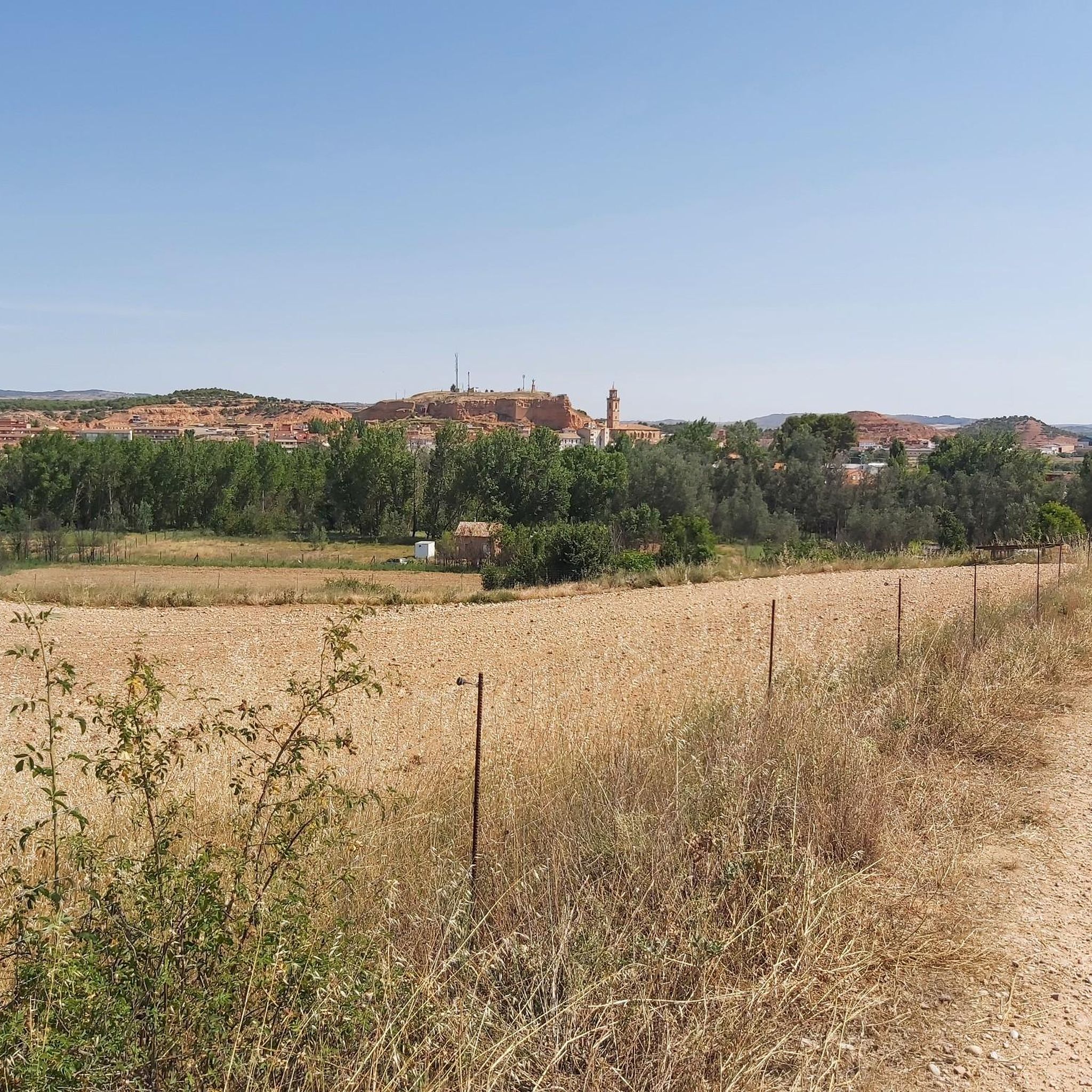
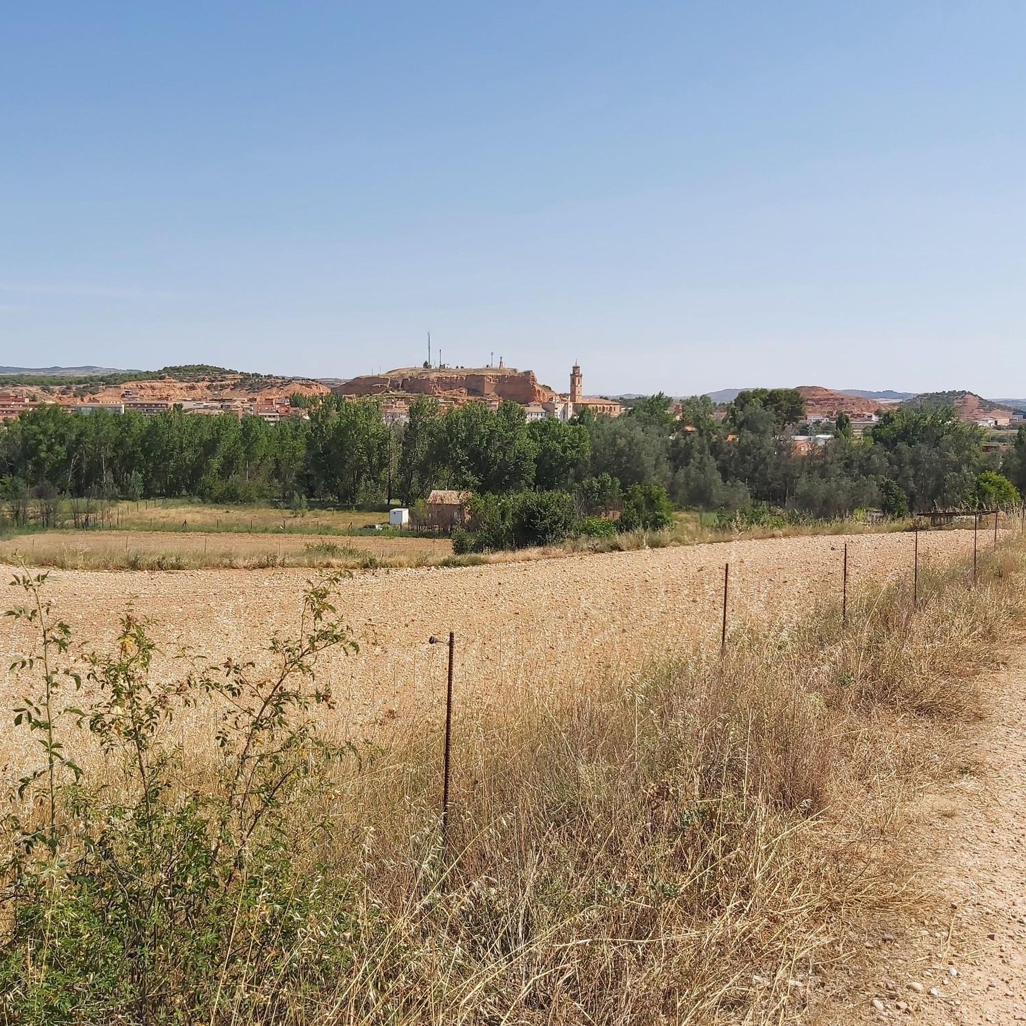
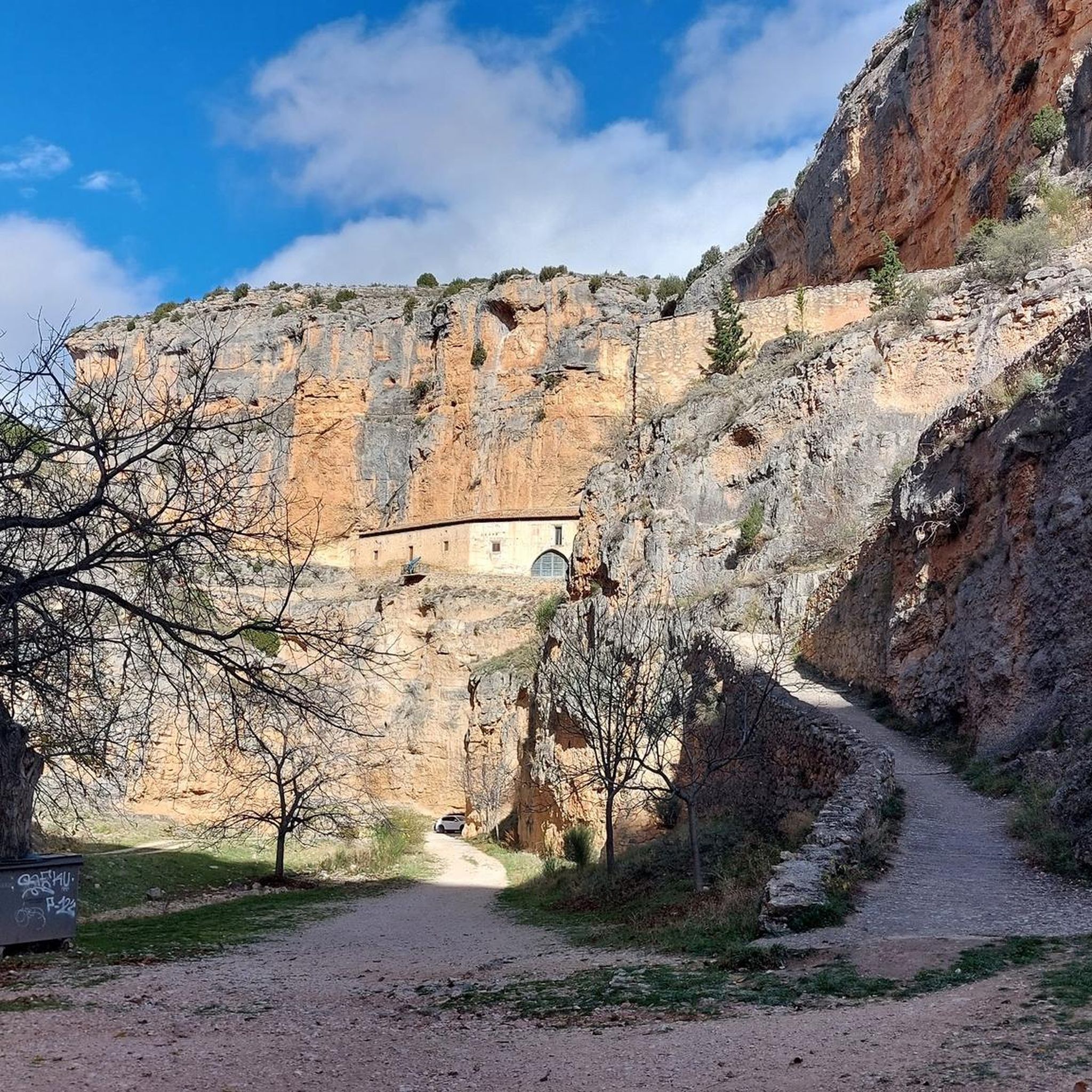

Tips from the Community

One of the most beautiful spots in the area, if not the most. The road from Jaraba to Calmarza is spectacular, although quite bumpy.
0
0

A beautiful town in the south of the province of Soria. Watered by the Jalón River, it boasts interesting monuments and a beautiful landscape, perfect for hiking.
0
0

Town on the Tranquera reservoir, on the Mesa River, where we find places to eat and sleep, and the second checkpoint on the Madrid to Barcelona route.
0
0

The La Tranquera Reservoir in Nuévalos is a spectacular place to enjoy nature and panoramic views. Inaugurated in 1959, the reservoir was designed to regulate the flow of the Piedra River and ensure the water supply in the region.
2
0
The Iruecha lagoon is one more thing of the many that can be seen in this beautiful town. Its formation was due to a subsidence of the calcareous terrain (karst origin).
0
0


The town of Arcos de Jalón is located in the valley of the river Jalón, close to its source. The numerous rivers and streams that cross the municipality mark the natural geography, with lush vegetation that make up the fertile plains, of great scenic richness.
0
0
This municipality is located next to the Sierra de Solorio and next to the Sima de la Cañada de Torrehermosa stream; and at an altitude of almost 900 meters. Its landscape and environment is almost more typical of the neighboring Sorian or Alcarreña lands than Aragonese.
0
0
Frequently Asked Questions
What kind of terrain can I expect on road cycling routes around Ariza?
Road cycling routes around Ariza traverse a landscape characterized by rolling hills, river valleys, and historical landmarks. You can expect varied terrain with significant elevation changes, offering routes that climb through rural areas and descend into scenic lowlands. The area provides opportunities for extended rides across its diverse topography.
Are there road cycling routes suitable for beginners or those seeking a moderate challenge in Ariza?
While there are no routes specifically graded as 'easy', Ariza offers several moderate road cycling routes. For example, the Jaraba-Calmarza Loop is a moderate 37.6-mile (60.5 km) ride, and the Arcos de Jalón por la Cuerda de Villalpardo — circular desde Santa María de Huerta is another moderate 44.3-mile (71.4 km) option.
Which road cycling routes offer a more challenging experience in Ariza?
For experienced road cyclists looking for a challenge, the Ariza and Embid Castles Loop is a difficult 47.7-mile (76.8 km) path featuring significant climbs and passing by historical castle sites. Another demanding option is the Pozo Redondo Waterfall – Santuario de Jaraba loop from Alhama de Aragón, which is 50 miles (80.3 km) and includes substantial elevation gain.
What is the typical length of road cycling routes around Ariza?
The road cycling routes in Ariza generally range from approximately 37 miles (60 km) to 53 miles (85 km) in length, offering substantial distances for extended rides.
Are there circular road cycling routes available in Ariza?
Yes, many of the road cycling routes around Ariza are circular, allowing you to start and end in the same location. Examples include the Jaraba-Calmarza Loop, the Ariza and Embid Castles Loop, and the Arcos de Jalón por la Cuerda de Villalpardo — circular desde Santa María de Huerta.
What historical landmarks or scenic views can I expect to see along the road cycling routes?
Many routes offer scenic views and pass by historical points of interest. For instance, the Ariza and Embid Castles Loop takes you past castle sites like Embid Castle. Other attractions in the wider area include the Monasterio de Santa María de Huerta and the Thermal Lake of Alhama de Aragón.
What do other road cyclists say about the routes in Ariza?
The road cycling routes in Ariza are highly rated by the komoot community, with an average score of 4.0 stars from over 3 reviews. Cyclists often appreciate the varied terrain, the mix of open countryside, and the opportunities to pass near small villages and historical sites.
Are there any routes that pass by waterfalls or other natural features?
Yes, the Pozo Redondo Waterfall – Santuario de Jaraba loop from Alhama de Aragón is a challenging route that specifically includes the Pozo Redondo Waterfall, offering a natural highlight along the ride.
What is the best season for road cycling in Ariza?
While specific seasonal data isn't provided, the region's climate typically makes spring and autumn ideal for road cycling, offering milder temperatures. Summer can be hot, especially in the middle of the day, and winter might bring colder conditions, though routes remain accessible.
Are there options for less crowded road cycling routes in Ariza?
Given the rural nature of the Ariza region, many routes offer a sense of open countryside and can be less crowded than more popular cycling destinations. Exploring routes that pass through smaller villages or more remote areas will likely provide a quieter experience.
Are there any road cycling routes that connect to other towns or points of interest?
Routes often connect various towns and points of interest. For example, the Calatayud – ⭐️ Puerta de Terrer loop from Alhama de Aragón starts from Alhama de Aragón and takes you towards Calatayud, allowing you to explore different areas within the region.
Most popular attractions around Ariza

Get inspired with the komoot mobile app


Explore more
Browse the best Road cycling routes in other regions.
