The best walks and hikes around L'Olleria
4.6
(367)
2,329
hikers
183
hikes
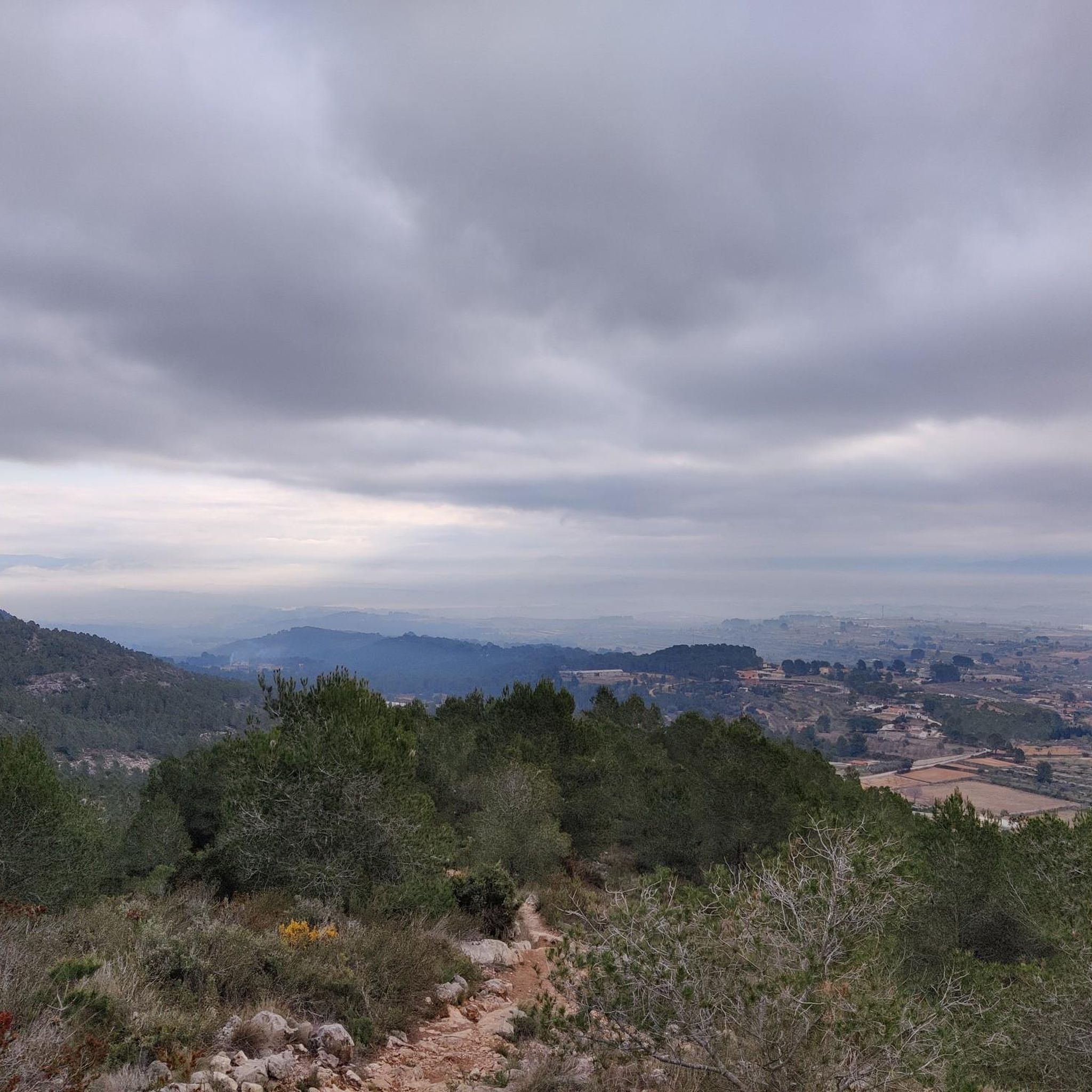
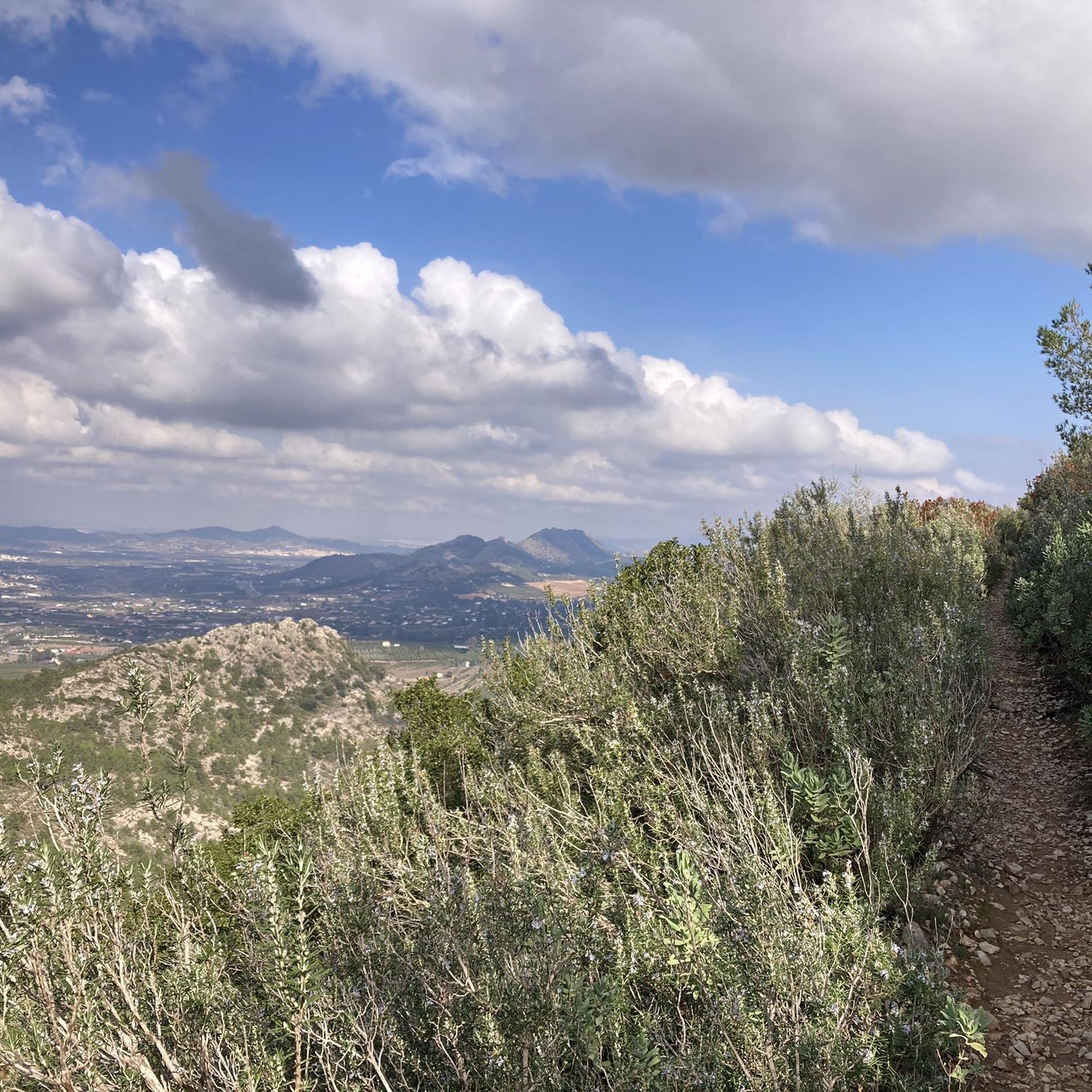
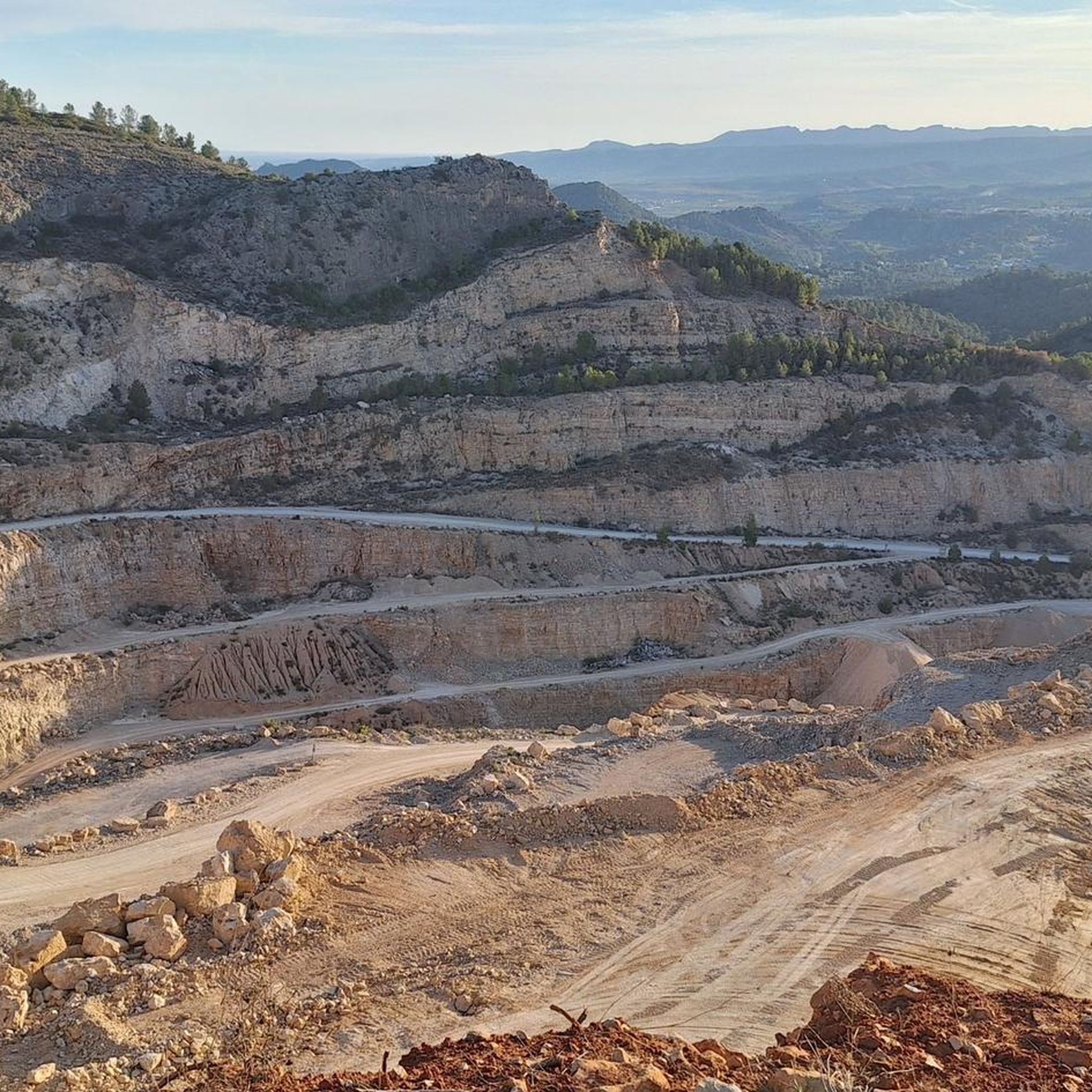
Hiking around L'Olleria offers diverse natural landscapes within the La Vall d'Albaida region. The area is situated at the foot of the Serra Grossa mountain range, providing varied terrain with wooded areas and rocky paths. Hikers can expect significant elevation changes and panoramic views across the valley. The region features diverse ecosystems, including various botanical varieties and striking limestone landscapes.
Best hiking trails around L'Olleria
- The most popular hiking route is Arcadetes d’Alboi Aqueduct – Cova Negra loop from Bellús…
Last updated: October 11, 2026
4.7
(3)
24
hikers
8.13km
02:24
240m
240m
Moderate hike. Good fitness required. Easily-accessible paths. Suitable for all skill levels.
3
hikers
12.0km
03:38
380m
370m
Moderate hike. Good fitness required. Easily-accessible paths. Suitable for all skill levels.

7
hikers
11.9km
04:06
580m
580m
Moderate hike. Good fitness required. Mostly accessible paths. Sure-footedness required.
4.0
(1)
5
hikers
10.2km
03:03
310m
310m
Moderate hike. Good fitness required. Easily-accessible paths. Suitable for all skill levels.
2
hikers
11.9km
03:43
420m
420m
Moderate hike. Good fitness required. Easily-accessible paths. Suitable for all skill levels.
Get access to more routes and recommendations from other explorers.
Already have an account?
Our route recommendations are based on thousands of hikes, rides, and runs completed by other people on komoot.
Start today with a free account
Your next adventure awaits.

Tips from the Community

Water fountain located in a very pleasant and quiet environment. In this section the path becomes very picturesque surrounded by trees and vegetation.
0
0
Water fountain (not drinkable) located in a very pleasant and quiet environment. It is accessed by hiking trail from Casa Quintana and can be done by mtb. **Water fountain (not drinkable) located in a very pleasant and quiet environment. It is accessed by hiking trail from Casa Quintana and can be done by mtb.
0
0

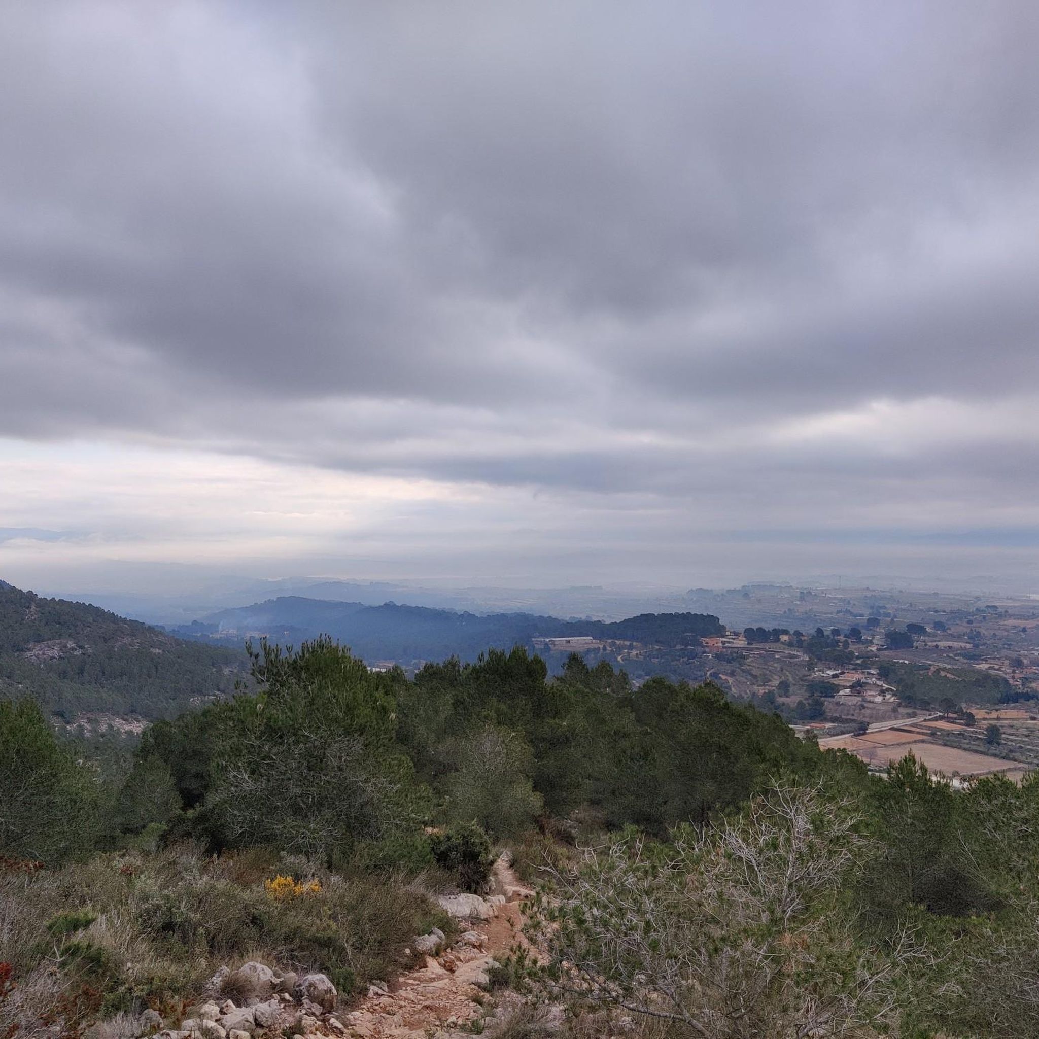
The geodesic point is located 520 m. above sea level. A not very long but intense ascent with quite a slope is made. This place offers a view of the Vall d'Albaida region and the Costera
1
0
Frequently Asked Questions
How many hiking trails are there to explore around L'Olleria?
L'Olleria offers a wide variety of hiking opportunities, with over 160 routes available. These trails cater to different preferences, including easy walks, moderate excursions, and more challenging hikes for experienced adventurers.
What kind of landscapes can I expect to see on hikes near L'Olleria?
Hiking around L'Olleria provides diverse natural landscapes. You'll find yourself at the foot of the stunning Serra Grossa mountain range, offering varied terrain with wooded areas, rocky paths, and significant elevation changes. The region also features diverse ecosystems, including various botanical varieties like heather, Aleppo pines, and rosemary, set against striking limestone landscapes.
Are there any easy, family-friendly hiking options in L'Olleria?
Yes, L'Olleria has nearly 50 easy hiking routes suitable for families. For a relaxed outing, consider exploring the Rodat forest area, which features picnic spots and playgrounds, perfect for a casual day outdoors amidst nature.
What are some notable natural features or landmarks to look out for on the trails?
One significant attraction is the Creueta de l'Olleria, a cross atop a mountain offering spectacular panoramic views of the Bellús reservoir and the entire Vall d'Albaida valley. Many routes also feature river crossings and lead to impressive viewpoints. You can also explore nearby natural highlights such as the Cova Negra or the Barranco de Caturla.
Are there any circular hiking routes available in L'Olleria?
Yes, many of the trails around L'Olleria are circular, allowing you to start and end at the same point. An example is the Creueta de L'Olleria – Cruz de la Ollería loop from l'Olleria, which is a moderate 8.1 km trail that takes about 2 hours 24 minutes to complete.
What do other hikers say about the trails in L'Olleria?
The hiking routes in L'Olleria are highly rated by the komoot community, with an average score of 4.6 stars from over 300 reviews. Hikers often praise the diverse terrain, the rewarding panoramic views, and the well-maintained paths that offer options for various ability levels.
Are there any challenging hikes for experienced hikers?
Absolutely. For those seeking a more demanding experience, there are 15 difficult routes available. A challenging option is the Albaida River Crossing – Alt del Palmeral loop from Bellús, which covers 16.5 km with over 440 meters of elevation gain.
Is it possible to find parking at the trailheads in L'Olleria?
While specific parking details vary by trailhead, L'Olleria is generally accessible for hikers arriving by car. Many popular starting points, especially those closer to the town or recreational areas like Rodat, typically offer convenient parking options. It's always advisable to check route details for specific parking information.
What is the best time of year to go hiking in L'Olleria?
L'Olleria benefits from a Mediterranean climate with over 300 days of sunshine annually, making hiking enjoyable for much of the year. Spring and autumn offer pleasant temperatures, ideal for longer excursions. Even in winter, the mild climate can be suitable for hiking, while summer mornings and late afternoons are best to avoid the midday heat.
Can I bring my dog on the hiking trails around L'Olleria?
Many natural areas and trails in L'Olleria are dog-friendly, allowing you to enjoy the outdoors with your canine companion. However, it's always recommended to keep dogs on a leash, especially in protected areas or near wildlife, and to check specific trail regulations beforehand. Please ensure you clean up after your pet.
Are there any routes that follow rivers or offer water features?
Yes, several routes incorporate river crossings and follow waterways. The Albaida River Crossing – Cova Negra loop from Bellús is a popular moderate path that offers varied terrain along the Albaida River, providing a refreshing element to your hike.
Are there any historical sites or ruins along the hiking paths?
While the focus is on natural beauty, some routes may pass by or offer views of historical elements. For instance, the nearby Ruins and weir on the Riu Clariano highlight suggests that remnants of past structures can be found in the wider region, adding a touch of history to your outdoor adventure.
Most popular routes around L'Olleria
Most popular attractions around L'Olleria

Get inspired with the komoot mobile app


Explore more
Browse the best Hikes in other regions.
