The best road cycling routes around Huerta Del Marquesado
4.7
(3)
160
riders
9
rides
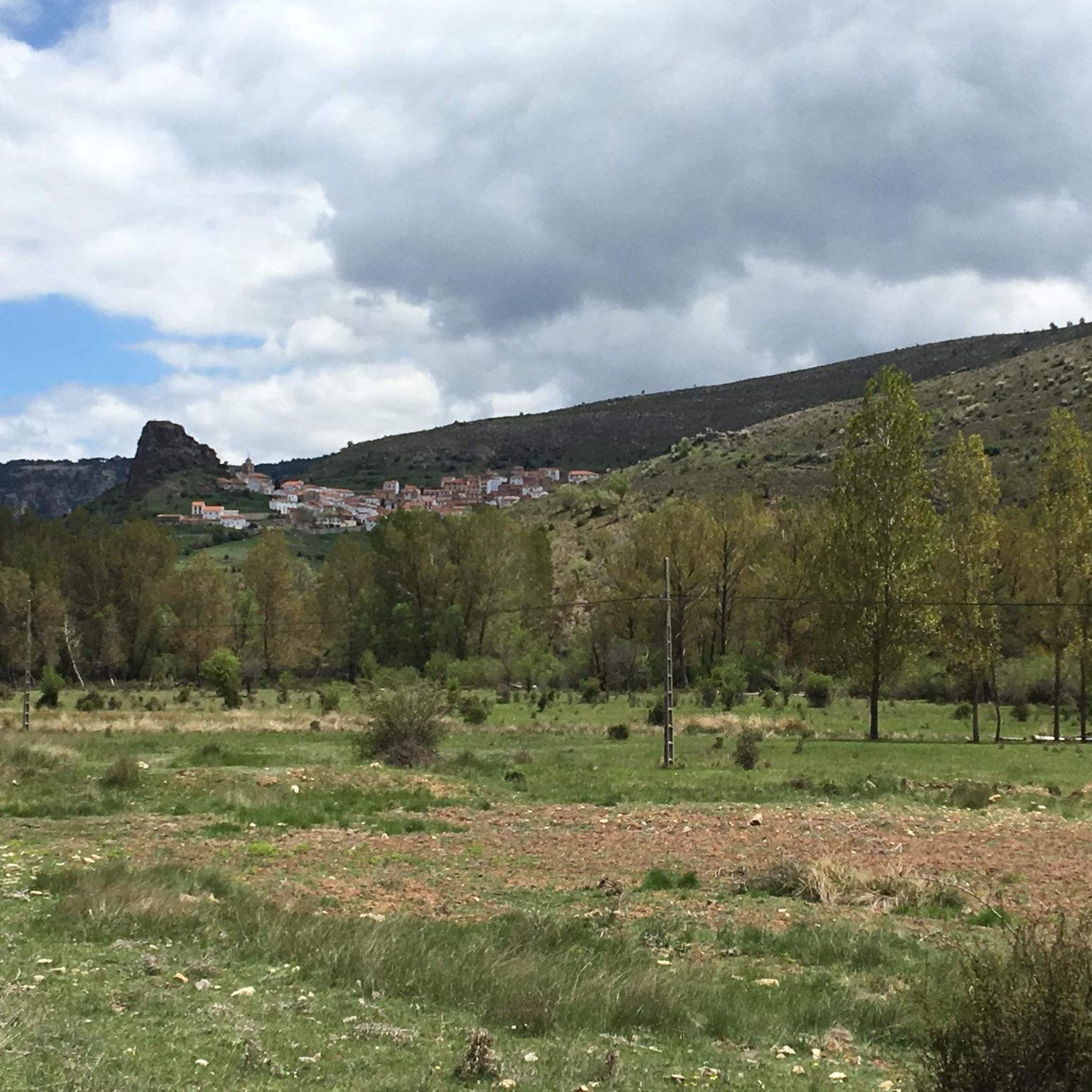
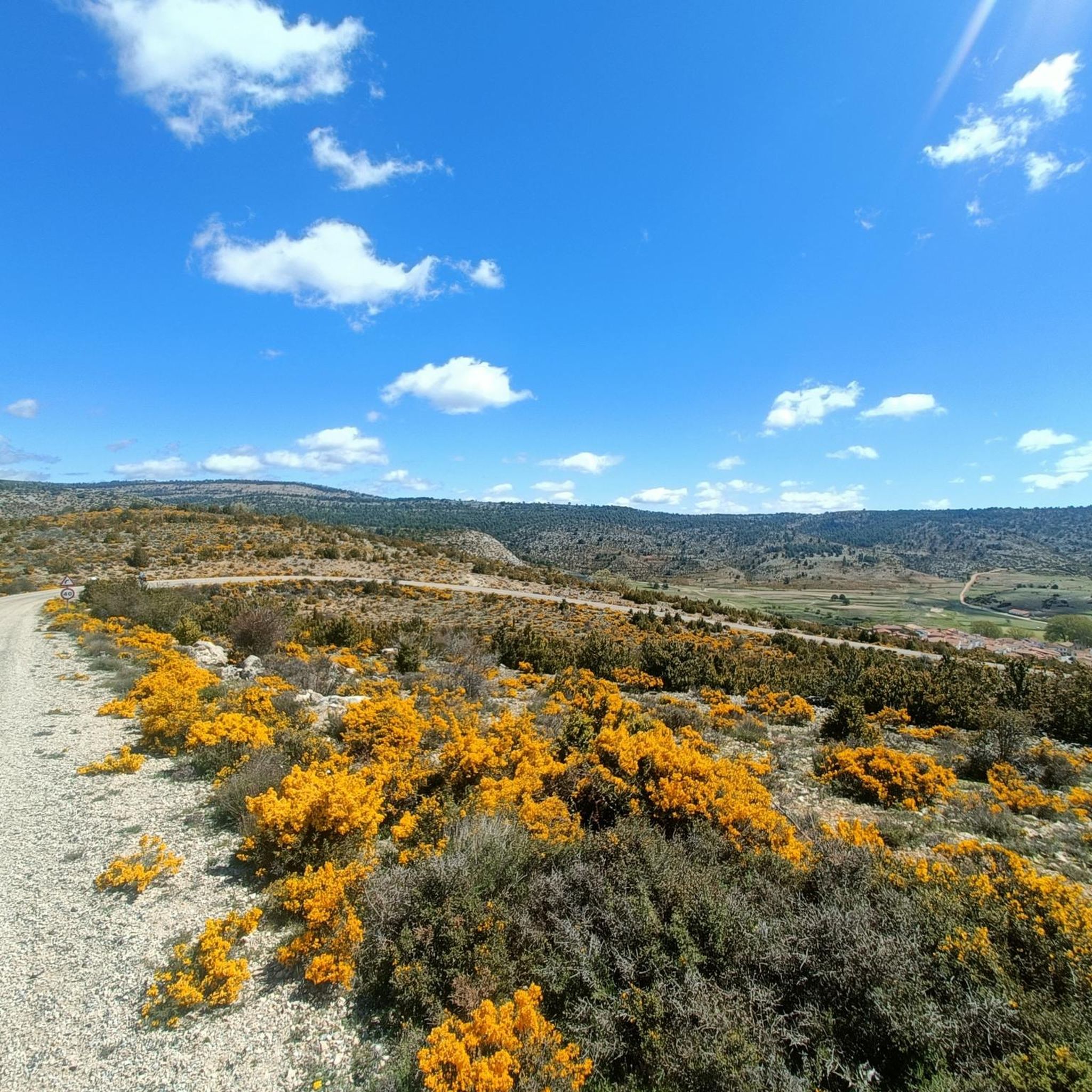
Road cycling around Huerta Del Marquesado offers routes through mountainous terrain, dense pine and oak forests, and varied geological formations. The region is characterized by significant elevation changes, with higher elevations featuring reddish sandstones and conglomerates, while mid-altitudes consist of limestone. Water sources are abundant, with numerous fountains and streams throughout the year, contributing to the diverse landscapes. These features provide a challenging and scenic environment for road cyclists.
Best road cycling routes around Huerta Del Marquesado
- The most popular road cycling route is Roadbike loop from Tejadillos, a 39.7 miles (63.9 km) trail that takes 2 hours 58 minutes to complete. This moderate route winds through mountainous terrain and extensive pine forests.
- Another top favourite among local road cyclists is Cañete – Río de la Laguna loop from Zafrilla, a moderate 31.4 miles (50.5 km) path. This route traverses areas with varied geological formations and rolling hills.
- Local road cyclists also love the Bar La Pulga – Cañete loop from Cerro de las Quebradas, a 36.8 miles (59.2 km) trail leading through challenging climbs and offering scenic vistas, often completed in about 3 hours 11 minutes.
- Road cycling around Huerta Del Marquesado is defined by mountainous terrain, dense pine and oak forests, and varied geological formations. The network offers options for moderate and difficult routes, catering to different ability levels.
- The routes in Huerta Del Marquesado are highly rated by the komoot community with an average score of 4.5 stars from a few reviews. More than 100 road cyclists have used komoot to explore Huerta Del Marquesado's varied terrain.
Last updated: October 14, 2026
13
riders
58.4km
02:58
990m
990m
Hard road ride. Very good fitness required. Mostly well-paved surfaces and easy to ride.
13
riders
50.5km
02:35
840m
830m
Moderate road ride. Good fitness required. Mostly well-paved surfaces and easy to ride.

16
riders
78.7km
03:38
930m
930m
Hard road ride. Very good fitness required. Mostly well-paved surfaces and easy to ride.
5.0
(1)
15
riders
94.6km
05:08
1,420m
1,420m
Hard road ride. Very good fitness required. Some segments of this route may be unpaved and difficult to ride.
7
riders
102km
05:04
1,590m
1,590m
Hard road ride. Very good fitness required. Mostly well-paved surfaces and easy to ride.
Get access to more routes and recommendations from other explorers.
Already have an account?
Our route recommendations are based on thousands of hikes, rides, and runs completed by other people on komoot.
Start today with a free account
Your next adventure awaits.

Tips from the Community

The official source of water is located at Fuente de García, in the Montes Universales, within the municipality of Frías de Albarracín (Teruel). It is located at an altitude of approximately 1,590 meters, surrounded by pine forests and high mountain meadows. Access is very easy and well signposted. Take the A-1704 highway, which connects Frías de Albarracín with Huélamo (Cuenca). From the highway, a paved detour of approximately 2 km takes you directly to the recreational area and the monument. There is free parking next to the monument.
10
0
Access is very easy and well signposted. Take the A-1704 highway, which connects Frías de Albarracín with Huélamo (Cuenca). From the highway, a paved detour of approximately 2 km takes you directly to the recreational area and the monument. There is free parking next to the monument.
5
0
The official source is located at Fuente de García, in the Montes Universales, within the municipality of Frías de Albarracín (Teruel). It is located at an altitude of approximately 1,590 meters, surrounded by pine forests and high mountain meadows.
5
0

It is a reference to the place where the longest river in Spain originates, stretching over 1,000 km and flowing into neighboring Portugal. These statues symbolize this point in the Albarracín mountain range.
8
0

Perfectly natural in a beautiful location.
4
0

Acceptable cabin with a fireplace and a bedroom. There's a spring next door.
0
0
The Callejones de Las Majadas are a spectacular natural setting located in the municipality of Las Majadas, in the province of Cuenca, within the Serranía de Cuenca Natural Park. It is a karst formation composed of Upper Cretaceous dolomites, where erosion by water, ice, and wind has sculpted the limestone rock, creating a labyrinth of narrow passages, natural arches, monoliths, and stone bridges.
2
0
The Callejones de Las Majadas are a natural site in Las Majadas, province of Cuenca (Spain), where the erosion of the Cretaceous limestone rocks produced curious shapes such as passages, arches, monoliths or bridges, creating a landscape similar to that of the Enchanted City, although smaller in size and surface area. These large rocks, shaped over the years by the erosion of wind and water, form a real labyrinth inside.
2
0
Frequently Asked Questions
What kind of road cycling experience can I expect in Huerta Del Marquesado?
Road cycling in Huerta Del Marquesado offers a challenging and scenic experience. The region is characterized by mountainous terrain with significant elevation changes, winding through deep valleys, dense pine and oak forests, and varied geological formations. You'll find routes that require good physical fitness, with options ranging from moderate to difficult.
Are there any easy or beginner-friendly road cycling routes?
The road cycling routes around Huerta Del Marquesado are generally considered moderate to difficult due to the mountainous terrain and significant elevation changes. While there are no routes specifically classified as 'easy' in the guide, some moderate options, like the Roadbike loop from Tejadillos, might be suitable for cyclists with a good baseline fitness looking for a challenge.
What are the typical distances and elevation gains for road cycling routes here?
The routes in Huerta Del Marquesado vary in length and elevation. For example, the Roadbike loop from Tejadillos is about 64 km with nearly 800 meters of elevation gain. More challenging routes, such as the Waterfall – Cañete loop from Huerta del Marquesado, can extend to over 80 km with more than 1,100 meters of climbing, offering substantial challenges for experienced riders.
Are the road cycling routes circular?
Yes, many of the road cycling routes in Huerta Del Marquesado are designed as loops, allowing you to start and finish at the same point. Examples include the Cañete – Río de la Laguna loop from Zafrilla and the Bar La Pulga – Cañete loop from Cerro de las Quebradas.
What can I see along the road cycling routes in Huerta Del Marquesado?
Beyond the stunning natural landscapes of pine and oak forests, varied geological formations, and abundant water sources, you can encounter unique attractions. Keep an eye out for the Paisaje Ilustrado, an open-air art project with Corten steel sculptures integrated into the natural environment. You might also pass traditional structures like the Molino del Batán watermill or the historic Santa María Magdalena church. For specific natural highlights, the Zafrilla River Trail is a notable feature.
Are there any good viewpoints on the road cycling routes?
Yes, the mountainous terrain of Huerta Del Marquesado naturally offers numerous scenic vistas. Routes often provide stunning views over the Serranía Alta de Cuenca, especially at higher elevations. The region's geological makeup, with reddish sandstones and conglomerates, creates colorful rock formations that add to the visual appeal. While specific named viewpoints on routes are not detailed, the general topography ensures many panoramic opportunities.
When is the best season for road cycling in Huerta Del Marquesado?
Given the mountainous terrain and high altitude (Huerta del Marquesado sits at 1,257 meters), spring and autumn are generally ideal for road cycling. The weather is typically milder, and the natural scenery is vibrant. Summers can be warm, especially in the valleys, while winters can bring cold temperatures and potentially snow at higher elevations, making some routes more challenging or inaccessible.
Are there places to stop for refreshments or a break along the routes?
While the routes primarily focus on natural beauty and challenging terrain, you may find opportunities for breaks in nearby villages. For instance, the highlight Bar Papi, Zafrilla (Montañas Vacías) is a known spot. Additionally, the region features recreational areas like Prao de San Roque and Fuente del Royo, which offer facilities for relaxation amidst natural surroundings.
What do other road cyclists enjoy most about cycling in Huerta Del Marquesado?
The area is highly rated by the komoot community, with an average score of 4.5 stars. Reviewers often praise the challenging mountainous terrain, the stunning natural scenery with dense forests and varied geological formations, and the clean air. The sense of accomplishment from tackling significant elevation changes and exploring less-traveled roads is also frequently highlighted.
Are there any specific landmarks or points of interest near the cycling routes?
Beyond the natural beauty, the region has several points of interest. The Montañas Vacías (section) offers a unique experience for those seeking remote landscapes. You can also find the Monument to the 1959 Plane Crash Victims, which is a poignant historical marker. The village itself, with its reconstructed Santa María Magdalena church and restored old wash houses, provides a glimpse into traditional rural life.
How many road cycling routes are available in Huerta Del Marquesado?
There are 8 road cycling routes detailed in this guide for Huerta Del Marquesado, offering a range of moderate to difficult options to explore the region's diverse landscapes.
Most popular attractions around Huerta Del Marquesado

Get inspired with the komoot mobile app


Explore more
Browse the best Road cycling routes in other regions.
