The best running trails around Parque Nacional de Monfragüe
4.5
(2)
94
runners
16
runs
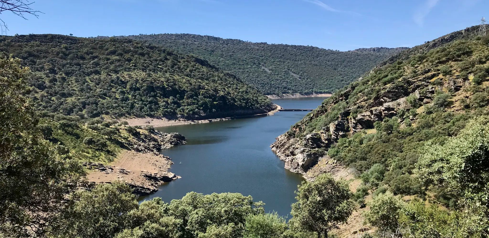
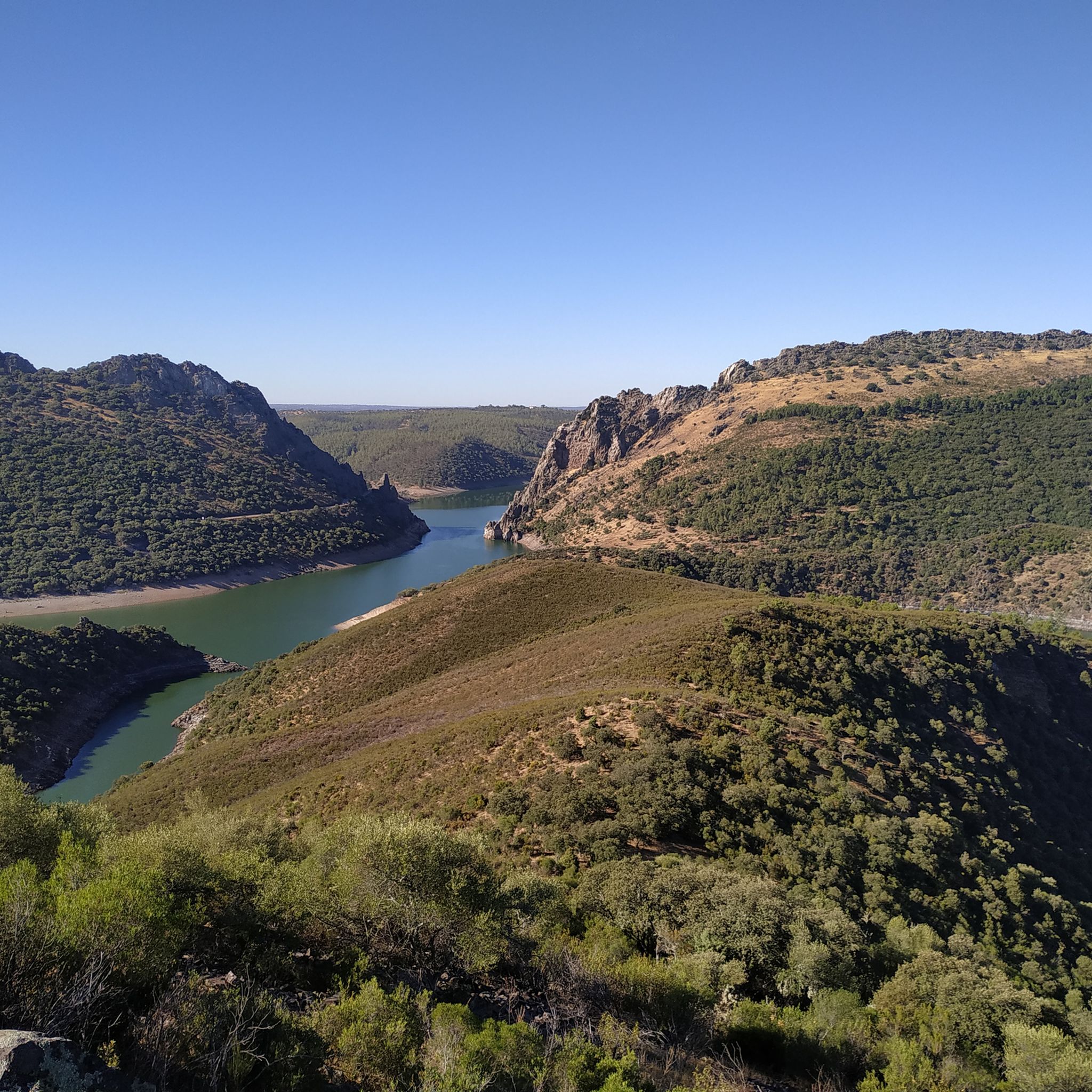
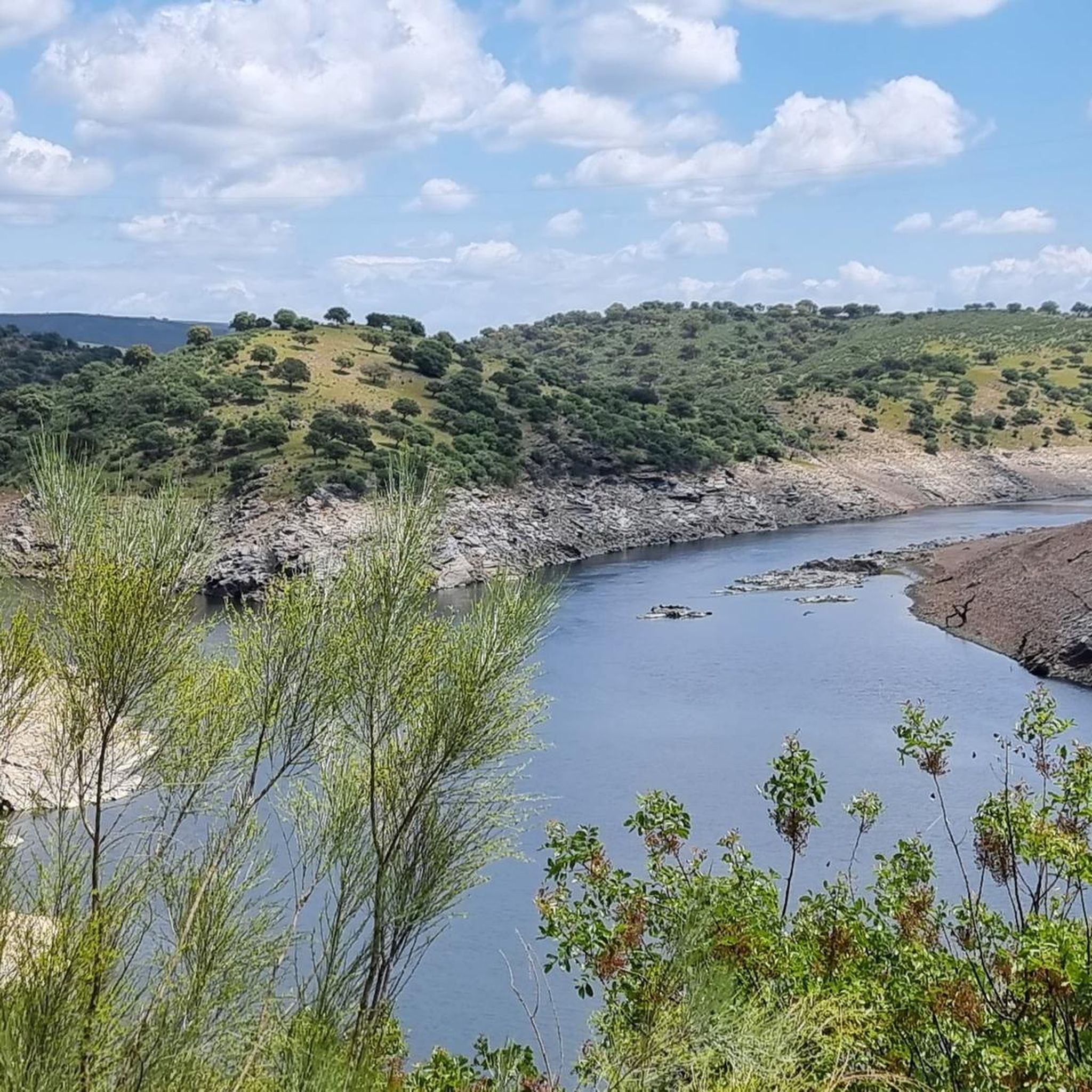
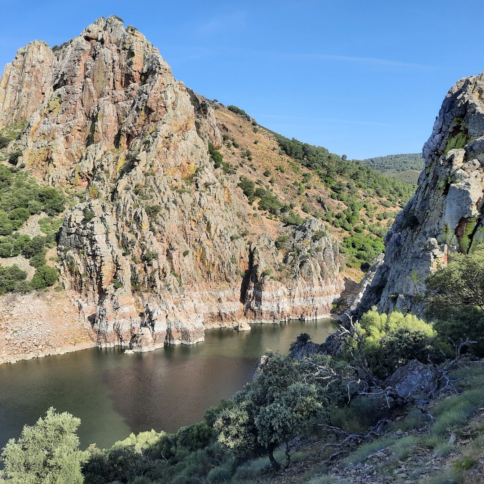
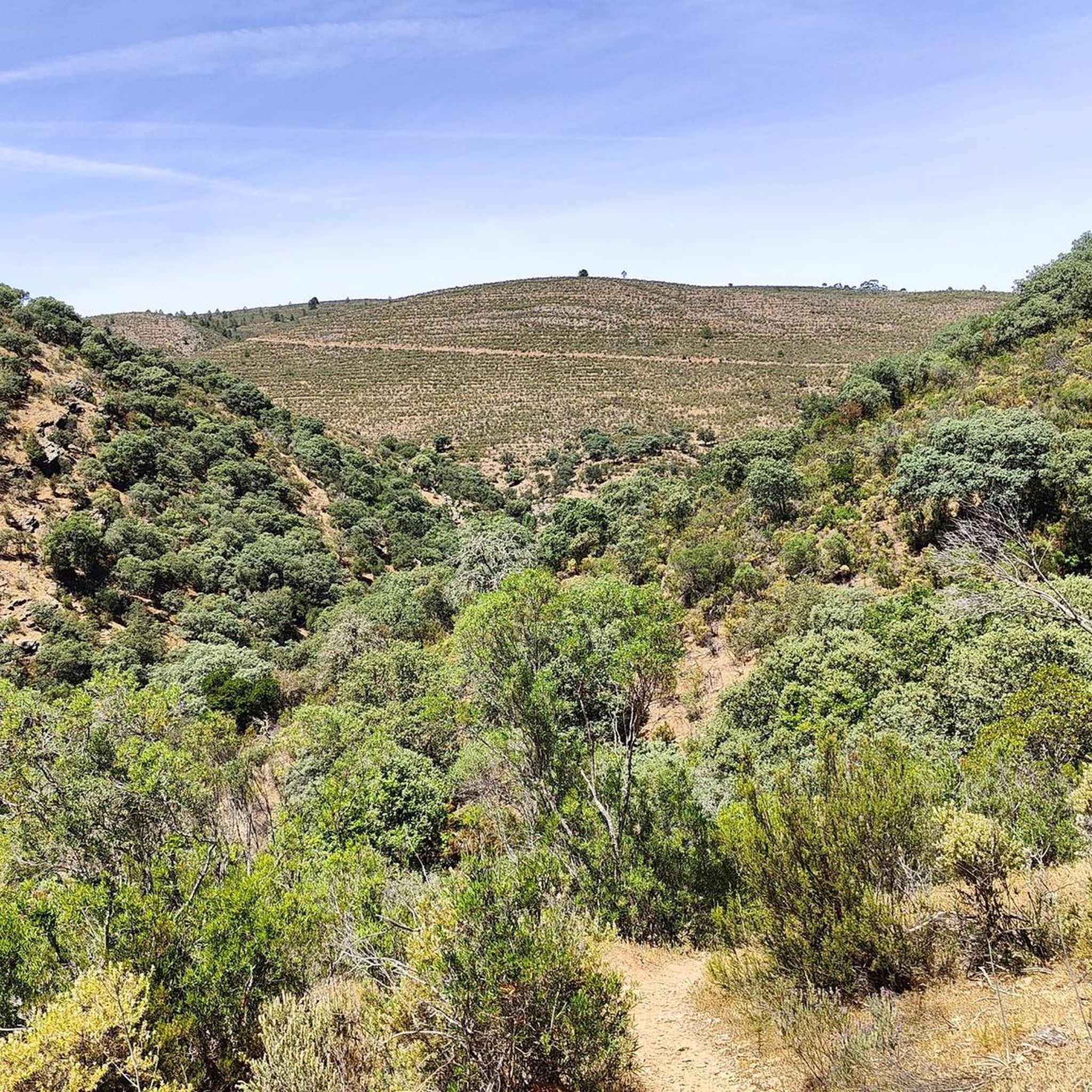
Jogging routes around Parque Nacional de Monfragüe traverse a landscape characterized by well-preserved Mediterranean forests and scrubland, featuring cork and holm oaks. The Tagus and Tiétar rivers carve deep valleys through the park, creating dramatic quartzite ridges and cliffs. This varied terrain offers a mix of challenging ascents and more gentle paths, providing a serene environment for outdoor activity.
Best jogging routes around Parque Nacional de Monfragüe
- The most popular jogging route is Cerro Gimio – circular via the Arroyo…
Last updated: July 7, 2026
5.0
(1)
10
runners
7.83km
01:03
170m
170m
Hard run. Good fitness required. Sure-footedness, sturdy shoes and alpine experience required.
1
runners
4.13km
00:33
70m
70m
Jog this difficult 2.6-mile (4.1 km) route in Monfragüe National Park, featuring river views and excellent birdwatching opportunities.

Sign up for free
13
runners
Hard run. Very good fitness required. Sure-footedness, sturdy shoes and alpine experience required.
13
runners
19.8km
03:01
730m
730m
Hard run. Very good fitness required. Sure-footedness, sturdy shoes and alpine experience required.
11
runners
9.91km
01:07
150m
150m
Jog the 6.2-mile Garganta del Fraile Loop, a moderate trail in Monfragüe Biosphere Reserve, featuring waterfalls and panoramic viewpoints.
Get access to more routes and recommendations from other explorers.
Sign up for free
Already have an account?
Our route recommendations are based on thousands of hikes, rides, and runs completed by other people on komoot.
Start today with a free account
Your next adventure awaits.
Login or Signup
Other adventures around Parque Nacional de Monfragüe

Tips from the Community

Popular viewpoint and not for nothing, beautiful and many different birds of prey to see. From here also runs a hiking trail to Monfragüe castle.
10
1

Beautiful viewpoint and especially in the afternoon, many birds can be seen
2
1
The highlight of Monfrague and lots of birds, especially in the afternoon when the thermals are optimal.
0
0
CENTRAL point where the 2 large rivers meet, there is ample parking to admire the natural splendor.
10
1
You can write a story, but here it is enjoying pure nature !!
11
1

Beautiful waterfall and vultures circle endlessly in the sky.
0
0

The climb to the Castello is worth it. You will be rewarded with a wonderful panoramic view.
0
0
Frequently Asked Questions
What are the general characteristics of the running routes in Monfragüe National Park?
The running routes in Monfragüe National Park traverse a diverse landscape featuring well-preserved Mediterranean forests, scrubland with cork and holm oaks, and dramatic quartzite ridges. The Tagus and Tiétar rivers carve deep valleys, creating varied terrain suitable for different fitness levels. You'll find a mix of challenging ascents and more gentle paths, all within a serene natural environment.
Are there routes suitable for beginners or those looking for an easier jog?
While many routes are rated as 'difficult' due to elevation changes, there are options that offer a more moderate experience. For example, the Garganta del Fraile Loop is a moderate 6.1-mile (9.9 km) path that leads through varied Mediterranean forest and scrubland, providing a refreshing environment without extreme difficulty.
What kind of natural features and landmarks can I expect to see while running in Monfragüe?
Monfragüe National Park is rich in natural beauty and historical landmarks. You can encounter dramatic river valleys, quartzite ridges, and Mediterranean forests. Notable viewpoints like The Gypsy's Leap (Salto del Gitano) and Serrano Viewpoint offer stunning vistas. The historic Monfragüe Castle also provides breathtaking panoramic views, making it a rewarding destination during your run.
Are there any circular running routes in the park?
Yes, Monfragüe National Park offers several circular routes. A popular option is the Cerro Gimio – circular via the Arroyo Malvecino Route, which is about 4.9 miles (7.8 km) long and offers panoramic views from the Cerro Gimio peak.
What is the best time of year to go running in Monfragüe National Park?
Monfragüe National Park can be enjoyed year-round, but the spring and autumn months generally offer the most pleasant temperatures for running. During these seasons, the Mediterranean vegetation is vibrant, and the weather is typically mild, making for comfortable conditions. Summers can be very hot, so early morning or late afternoon runs are advisable, while winters are generally mild.
Can I bring my dog on the running trails in Monfragüe National Park?
Monfragüe National Park has specific regulations regarding pets to protect its rich biodiversity. While some areas might permit dogs on a leash, it's crucial to check the most current park regulations or inquire at the interpretation center in Villarreal de San Carlos before heading out. This ensures compliance and helps protect the park's wildlife.
Are there any family-friendly running routes suitable for children?
While many routes in Monfragüe involve varied terrain and some elevation, shorter and less strenuous paths can be suitable for families with active children. The park's extensive network allows for choosing routes based on length and difficulty. It's recommended to visit the interpretation center in Villarreal de San Carlos for advice on the most appropriate trails for families.
Where can I park my car when visiting Monfragüe National Park for a run?
Parking is generally available at key access points and visitor centers within or near the park. Villarreal de San Carlos, the park's main hub, is a good starting point and typically offers parking facilities. Specific trailheads may also have designated parking areas, so it's advisable to check route details beforehand.
Are there any cafes or places to eat near the running routes?
The village of Villarreal de San Carlos, located within the park, serves as a central point and offers amenities including cafes and restaurants where you can refuel after your run. Other nearby towns like Torrejón el Rubio and Malpartida de Plasencia also provide dining options.
What makes running in Monfragüe National Park a unique experience?
Running in Monfragüe National Park offers a unique blend of physical activity and immersion in nature. It's renowned as one of Europe's best locations for birdwatching, especially for raptors like Black Vultures and Spanish Imperial Eagles, which you might spot during your run. The serene environment, combined with the dramatic landscapes of river valleys and ancient castles, provides a truly memorable outdoor experience.
Do I need any special permits to access certain running trails?
While many trails are freely accessible, some specific routes or areas within Monfragüe National Park might require prior authorization, especially during certain seasons or for conservation purposes. It's always best to inquire at the park's interpretation center in Villarreal de San Carlos for the most up-to-date information on permits and regulations before planning your run.
What are the elevation changes like on the running routes?
The running routes in Monfragüe National Park feature varied elevation changes due to the dramatic quartzite ridges and river valleys. For instance, the Cerro Gimio – circular via the Arroyo Malvecino Route involves an elevation gain of approximately 173 meters. Other routes, like the Serrano Viewpoint loop from Salto del Gitano, can have more significant climbs, reaching over 730 meters of elevation gain, offering challenging options for experienced runners.
Most popular routes around Parque Nacional de Monfragüe
Most popular attractions around Parque Nacional de Monfragüe

Get inspired with the komoot mobile app


Explore more
Browse the best Running Trails & Routes in other regions.
