The best walks and hikes around Villablanca
4.5
(593)
3,187
hikers
119
hikes
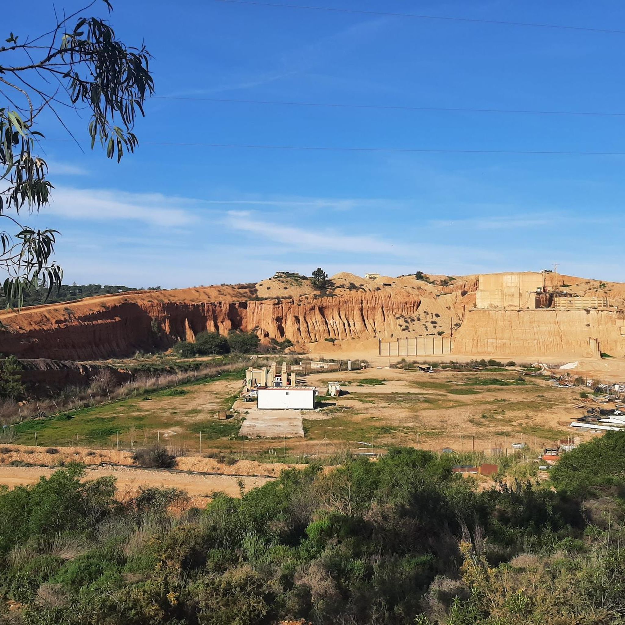
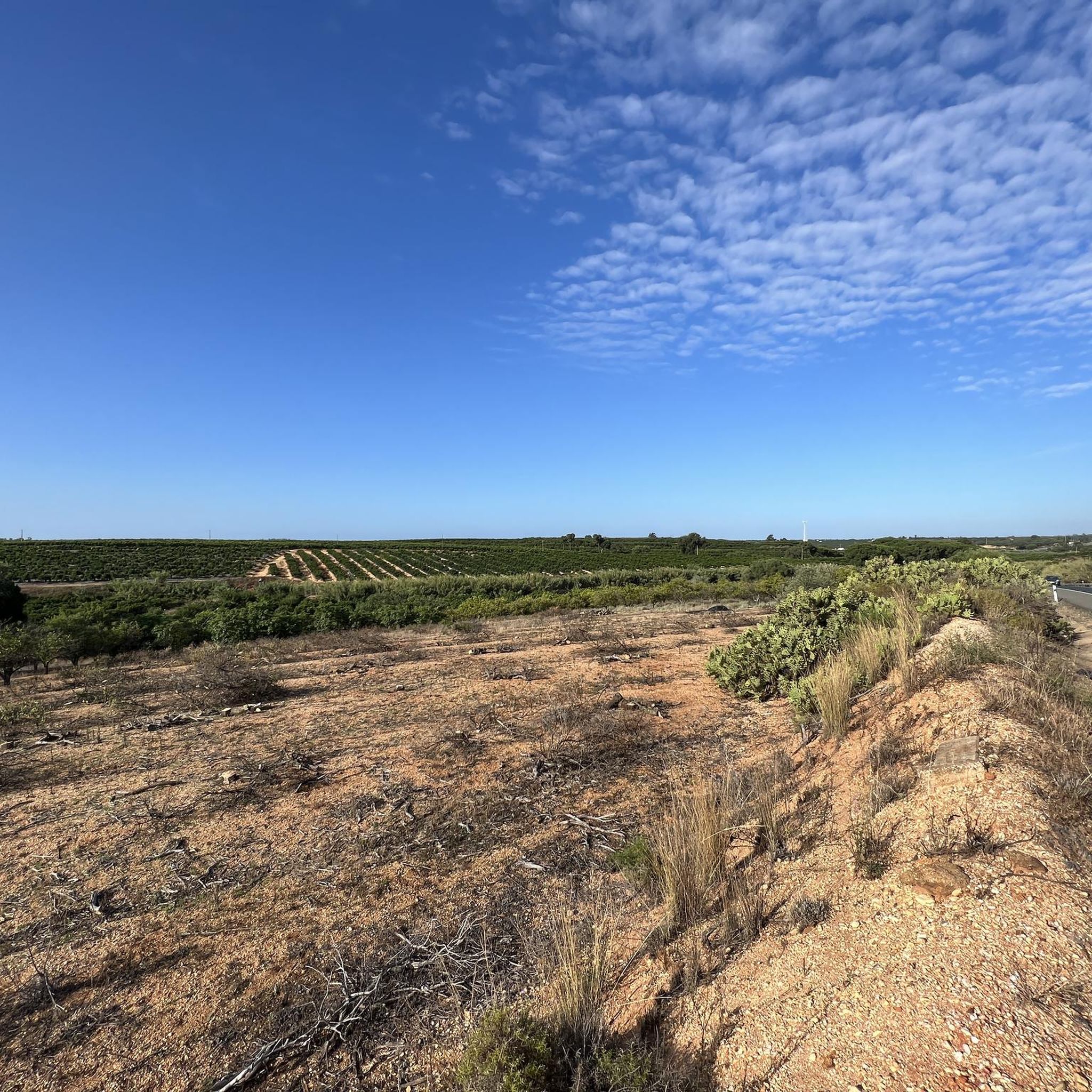
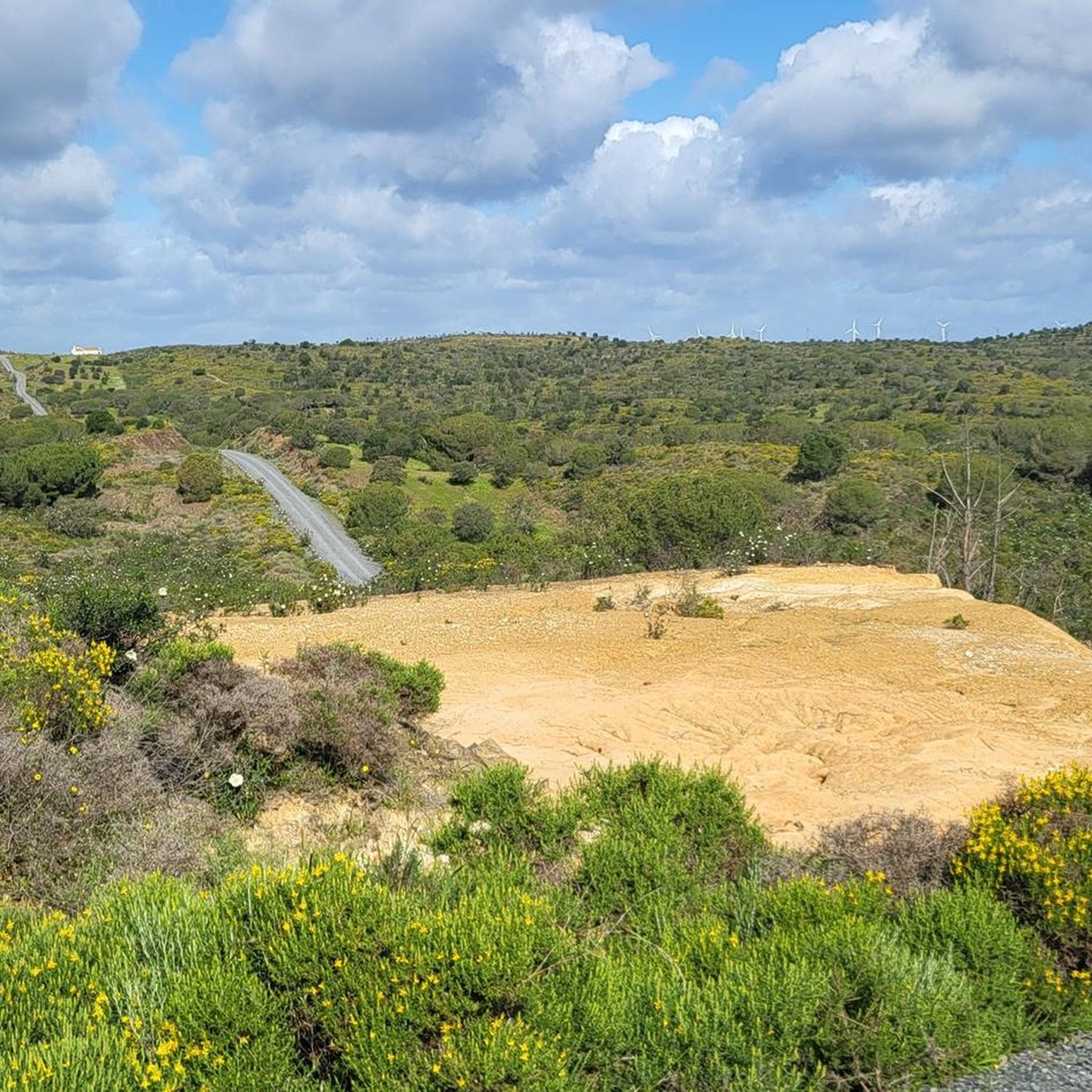
Hiking around Villablanca, located in Huelva, Spain, features diverse natural surroundings. The region is characterized by tranquil rural landscapes, including agricultural plains with dry and irrigated fields. Proximity to the Guadiana River offers scenic routes, while coastal influences provide access to wetlands like the Marismas and Salinas de Isla Cristina. The terrain varies from flat riverbanks and agricultural paths to coastal boardwalks and areas with moderate elevation changes.
Best hiking trails around Villablanca
- The most popular hiking route is On…
Last updated: October 7, 2026
5.0
(5)
19
hikers
10.5km
02:52
170m
170m
Moderate hike. Good fitness required. Easily-accessible paths. Suitable for all skill levels.
4.7
(3)
10
hikers
7.20km
01:57
90m
90m
Easy hike. Great for any fitness level. Easily-accessible paths. Suitable for all skill levels.

4.5
(2)
20
hikers
Moderate hike. Good fitness required. Easily-accessible paths. Suitable for all skill levels.
5.0
(4)
20
hikers
Moderate hike. Good fitness required. Easily-accessible paths. Suitable for all skill levels.
1.0
(1)
8
hikers
Easy hike. Great for any fitness level. Easily-accessible paths. Suitable for all skill levels.
Get access to more routes and recommendations from other explorers.
Already have an account?
Our route recommendations are based on thousands of hikes, rides, and runs completed by other people on komoot.
Start today with a free account
Your next adventure awaits.

Tips from the Community

…extremely interesting and worthwhile church that should not be missed 👀📸
0
0
Church worth seeing 👀
0
0
Beautifully designed place with many seating options and shady corners! 👀
2
0

Please check opening times! I think it closes for lunch at 13:00.
0
0
Vila Real de Santo António is located on the Gulf of Cádiz, which is part of the Atlantic Ocean, and on the right bank of the Guadiana River, whose lower reaches form the border between Portugal and Spain. The town offers several attractions, charming restaurants, bars, and cafés! A ferry ⛴️ provides convenient hourly service to the Spanish town of Ayamonte.
2
0
…a church worth seeing ⛪️👀📸
3
0
…there is a very good selection of fresh produce, meat, fruit and vegetables here.
3
0
Frequently Asked Questions
How many hiking trails are available around Villablanca?
There are over 100 hiking routes around Villablanca, offering a wide variety of experiences. You'll find options ranging from easy strolls to more challenging excursions, with 59 easy, 42 moderate, and 4 difficult trails to choose from.
What kind of terrain can I expect on hikes near Villablanca?
The terrain around Villablanca is quite diverse. You can expect tranquil rural landscapes with agricultural plains, flat riverbanks along the Guadiana, and coastal paths including boardwalks near Isla Cristina. Some routes may have moderate elevation changes, while others are largely flat.
Are there any easy, family-friendly hiking options in Villablanca?
Yes, Villablanca offers many easy and family-friendly trails. An excellent option is the Igreja Matriz de Azinhal – Scenic Hiking Trails loop from Murtal, an easy 7.2 km path known for its varied scenic views and gentle terrain. Another easy choice is the Odiel Marshes – Water tank at the old railway track loop from Isla Cristina, which is about 5 km and explores wetland areas.
Can I find circular hiking routes around Villablanca?
Yes, many of the trails around Villablanca are circular. For example, the moderate On the banks of the Guadiana – Guadiana River loop from Almada de Ouro follows the scenic Guadiana River. Another popular loop is the Isla Cristina Lighthouse – Playa de la Gaviota Boardwalk loop from Isla Cristina, which takes you along coastal areas and a boardwalk.
What natural features or landmarks can I see while hiking in the region?
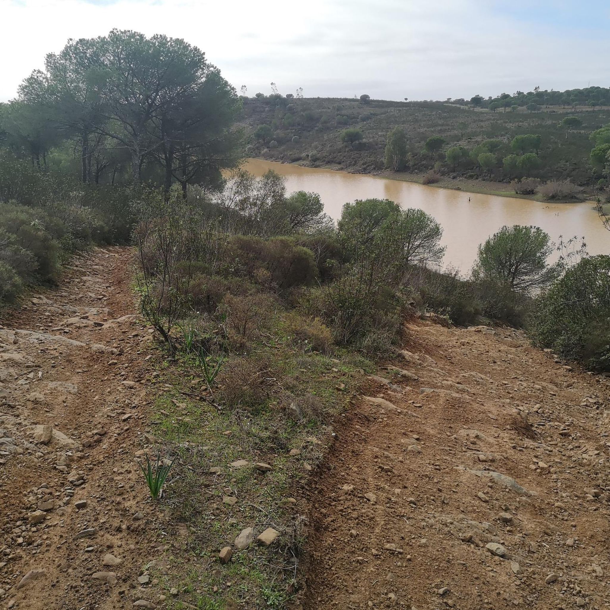
The region boasts several notable natural features. You can explore the scenic banks of the Guadiana River, or visit unique wetlands like the Odiel Marshes and the Marshes and Saltworks of Isla Cristina, which are renowned for their abundant birdlife, including storks and flamingos. The Odeleite Reservoir is also a significant natural attraction nearby.
Are there any historical sites or points of interest near the hiking trails?
Beyond natural beauty, you can find historical points of interest. The charming town of Vila Real de Santo António is nearby, featuring the historic Praça Marquês de Pombal. Further afield, you might consider visiting Castro Marim Castle, offering a glimpse into the region's past.
What is the best time of year to go hiking in Villablanca?
Villablanca's climate makes it suitable for hiking for much of the year. Spring and autumn generally offer the most pleasant temperatures for outdoor activities. While summer can be warm, coastal routes or early morning hikes are still enjoyable. Winters are mild, allowing for comfortable hiking conditions.
What do other hikers enjoy most about the trails in Villablanca?
The hiking trails around Villablanca are highly rated by the komoot community, with an average score of 4.4 stars from over 490 reviews. Hikers frequently praise the tranquil rural landscapes, the scenic riverine paths, and the diverse options that cater to different ability levels, from easy walks to moderate excursions.
Are there any longer, more challenging hikes available?
While many trails are easy to moderate, there are longer options. The Casa Morillo loop from Barriada de la Estación is a moderate 14.8 km route that offers a good distance for those looking for a longer excursion through the rural plains.
Is public transport available to reach hiking trailheads?
While specific public transport details for individual trailheads are not always readily available, Villablanca is part of a region with some public transport links. For routes further afield, such as those along the Guadiana River or near Isla Cristina, local bus services might connect to nearby towns. It's advisable to check local transport schedules for specific starting points.
Are there opportunities for wildlife spotting on the trails?
Yes, especially in the wetland areas. The Odiel Marshes and the Marshes and Saltworks of Isla Cristina are known for their rich birdlife, including storks and flamingos. Hiking through these areas provides excellent opportunities for birdwatching and observing other local fauna.
What should I wear for hiking in Villablanca, especially in summer?
In summer, lightweight, breathable clothing is recommended, along with a hat, sunglasses, and plenty of water to stay hydrated. For other seasons, layers are advisable as temperatures can vary. Comfortable hiking shoes suitable for varied terrain, from flat paths to potentially uneven ground, are essential year-round.
Most popular routes around Villablanca
Most popular attractions around Villablanca

Get inspired with the komoot mobile app


Explore more
Browse the best Hikes in other regions.
