The best running trails around Gavilanes
221
runners
25
runs
Jogging routes around Gavilanes traverse a varied landscape, from lush forests and river paths to more challenging mountain ascents. The region features diverse natural beauty, including winding trails through valleys and areas with significant elevation changes. These routes offer opportunities to experience the natural environment, with some paths following rivers and others leading to panoramic viewpoints. The terrain caters to a range of running preferences, from gentle forest runs to robust trail running experiences.
Best jogging routes around Gavilanes
- The…
Last updated: June 24, 2026
44
runners
28.6km
05:08
1,670m
1,670m
Hard run. Very good fitness required. Sure-footedness, sturdy shoes and alpine experience required.
24
runners
28.3km
04:40
1,690m
1,690m
Hard run. Very good fitness required. Sure-footedness, sturdy shoes and alpine experience required.

Sign up for free
14
runners
12.8km
01:46
480m
480m
Hard run. Very good fitness required. Sure-footedness, sturdy shoes and alpine experience required.
13
runners
14.2km
01:55
600m
600m
Hard run. Very good fitness required. Sure-footedness, sturdy shoes and alpine experience required.
18
runners
34.2km
04:38
1,140m
1,140m
Hard run. Very good fitness required. Mostly paved surfaces. Suitable for all skill levels.
Get access to more routes and recommendations from other explorers.
Sign up for free
Already have an account?
Our route recommendations are based on thousands of hikes, rides, and runs completed by other people on komoot.
Start today with a free account
Your next adventure awaits.
Login or Signup


Tips from the Community

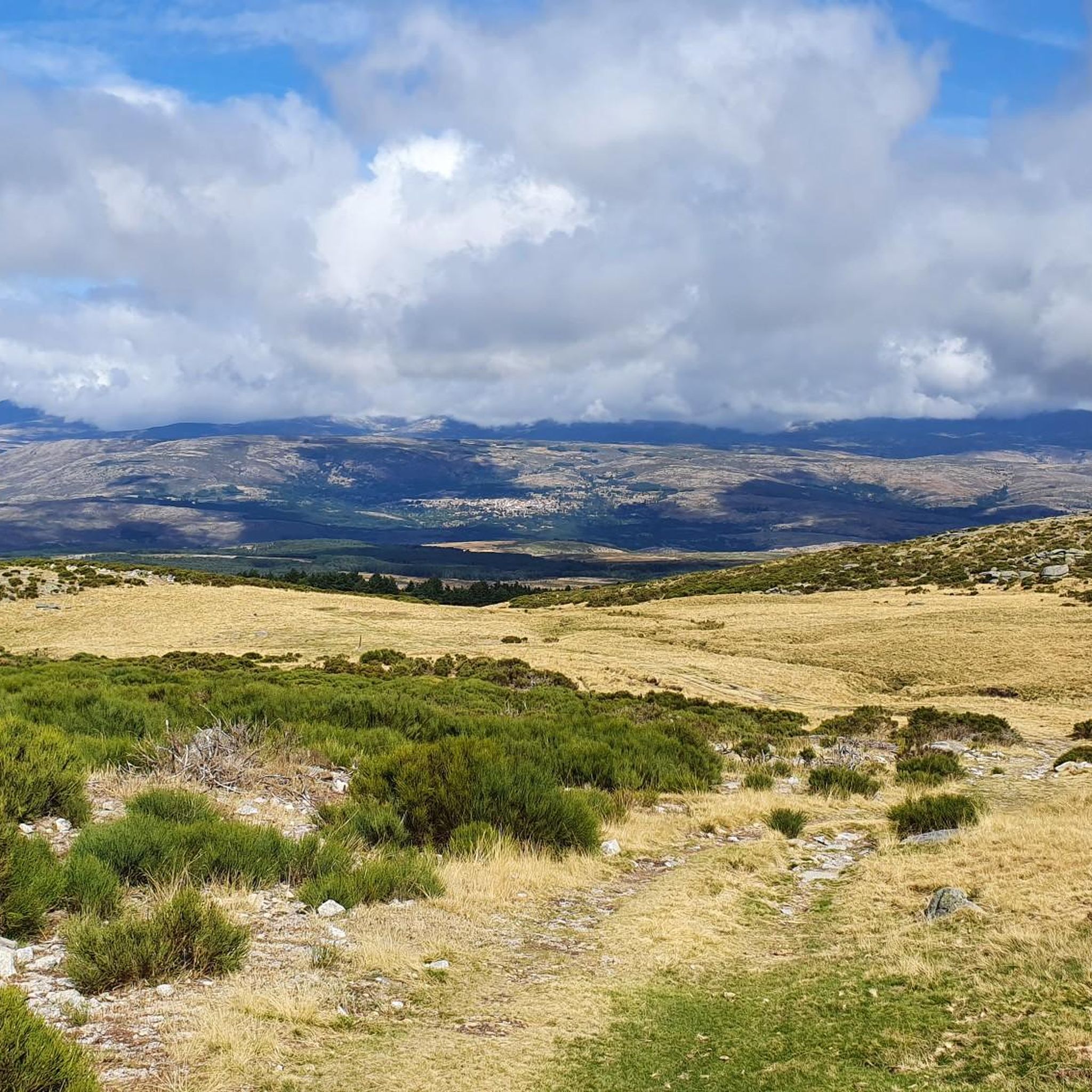
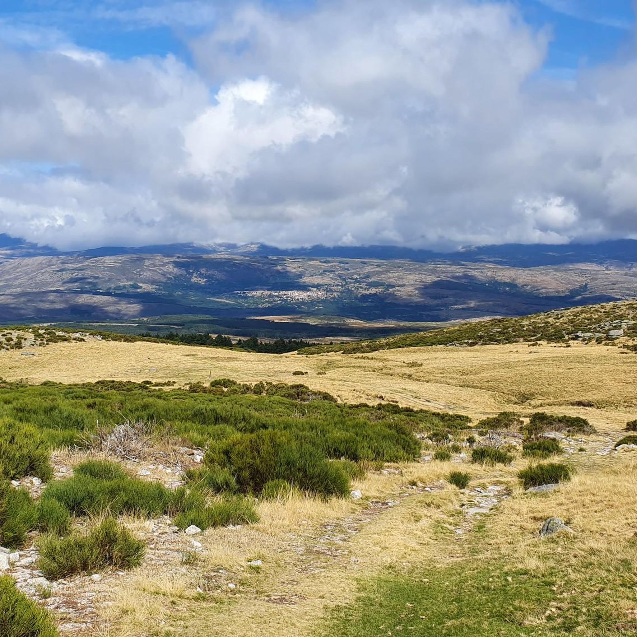
The Mijares Pass is one of the great mountain passes in the Sierra de Gredos, highly prized by cyclists for its length, elevation gain, and scenic beauty. Maximum gradient: 11% (on short ramps before Mijares). There are several steep sections in the villages and near the Horcajo area, as well as another one 2 km from the summit.
1
0

You cool down very quickly up here, especially when it's windy.
7
0

Highest point 1580 on this route, there is a large parking lot to enjoy the view.
16
0

A legendary mountain pass in the Vuelta a España and in the Gredos mountain range, along with Serranillos, Peña Negra, Pedro Bernardo, and Puerto del Pico. It's a namesake of Serranillos, as it connects the same valleys, running parallel. Like Serranillo, it's a pass with a gentle, continuous gradient and uneven, bumpy asphalt, which is typical of this area. A pass of thermal contrasts: in winter, you're freezing cold, and in summer, you can die of heat.
0
0

The towns of Santa Cruz del Valle and Lanzahíta are connected by a forest track that coincides with the GR 180 route. This trail is especially pleasant in summer, when the air smells of pine and you can walk accompanied by the sound of cicadas.
1
0
Casavieja is a beautiful town located on the southern slope of the Gredos mountain range, near the Tiétar river. It offers a charming experience with its cobblestone streets, traditional architecture with stone facades and stunning natural surroundings. I would recommend you visit the church of San Juan Bautista, which dates back to the 16th century.
2
0
Mijares is located on the banks of the Las Torres gorge, which has given rise to a very quiet natural pool in a wonderful environment. In addition to this pool, there are two natural pools where you can enjoy a refreshing swim on a hot day: the Lucero pool and the Largo pool. At the top of the pool, there is a kiosk. It also has a small pool for children, which uses chlorinated water.
2
0
Mijares is located on the southern slope of the Villafranca mountain range, near the Tiétar river. The town is surrounded by a natural environment with forests and mountains, which makes it an attractive place for nature and hiking lovers. The most important points of the town are the parish church of San Bartolomé Apóstol, rebuilt in the 18th century, and the Plaza Mayor, the nerve center of the municipality, where various businesses are located and local events and activities are held.
2
0
Frequently Asked Questions
How many running trails are available in Gavilanes?
Gavilanes offers a diverse selection of 15 running trails. These routes traverse varied landscapes, providing options for different preferences and fitness levels.
What kind of terrain can I expect on jogging routes in Gavilanes?
The jogging routes in Gavilanes feature a varied landscape, from lush forests and river paths to more challenging mountain ascents. You'll find winding trails through valleys and areas with significant elevation changes, offering a mix of moderate and difficult running experiences.
Are there running routes suitable for beginners in Gavilanes?
While there are no routes specifically classified as 'easy' in our current selection, Gavilanes does offer 6 moderate running trails. These provide a good starting point for those looking for a steady run without extreme difficulty, often following river paths or gentler forest sections.
What are some challenging trail running options in Gavilanes?
For experienced trail runners, Gavilanes has 9 difficult routes. A notable challenging option is the Púlpito – Portachón del Hornillo loop from Casavieja, which is 17.6 miles long with significant elevation gain, leading through mountainous terrain with rewarding views.
Are there any circular running routes in Gavilanes?
Yes, many of the running routes in Gavilanes are circular, allowing you to start and finish at the same point. For example, the popular Route of the Tiétar River – circular running from Iglesuela del Tiétar (PR-TO 20) is a moderate 6.5-mile loop.
When is the best time of year to go jogging in Gavilanes?
The best time for outdoor activities, including jogging, in regions like Gavilanes is typically during the dry season, which often runs from December to April. During these months, you can expect sunny days and minimal rainfall, making for more pleasant running conditions.
Can I find scenic running trails with good views in Gavilanes?
Absolutely. Many trails in Gavilanes offer rewarding panoramic views, especially those that involve ascents. Routes like the San Vicente Hill (1320m) – Puerto del Piélago loop from Navamorcuende lead through hilly landscapes, providing excellent vistas. You might also encounter highlights such as Pico Torozo or Cabezo de Gavilanes.
Are there any interesting landmarks or natural attractions along the running routes?
Yes, the region around Gavilanes is rich in natural attractions. Along your runs, you might pass by significant mountain passes like Puerto de Mijares or Serranillos Pass. The diverse landscape also offers opportunities to spot wildlife, such as the Iberian Ibex.
Are there any family-friendly running paths in Gavilanes?
While specific 'easy' routes aren't listed, the 6 moderate routes in Gavilanes could be suitable for families with some running experience. These trails often follow river valleys or less steep forest paths, providing a pleasant outdoor activity for active families.
What do other runners enjoy the most about jogging in Gavilanes?
Runners frequently praise the varied terrain and natural beauty of Gavilanes. The mix of river valleys, forested slopes, and challenging ascents provides a dynamic experience. The region is well-regarded for its opportunities to connect with nature and enjoy diverse running conditions.
Are there any running routes that follow rivers or offer water features?
Yes, some of the running routes in Gavilanes follow rivers, offering a refreshing experience. The Route of the Tiétar River is a prime example, providing a moderate run along the river, perfect for enjoying the sounds and sights of flowing water.
Can I find longer distance running routes for endurance training in Gavilanes?
Certainly. Gavilanes offers several longer and more demanding routes ideal for endurance training. For instance, the Púlpito – Portacho de las Tejadillas loop from Mijares is a difficult 23.2 km (14.4 miles) trail with significant elevation gain, providing a robust challenge for long-distance runners.
Most popular attractions around Gavilanes

Get inspired with the komoot mobile app


Explore more
Browse the best Running Trails & Routes in other regions.
