The best running trails around Gil García
51
runners
10
runs
Jogging around Gil García offers diverse natural landscapes, making it an appealing destination for outdoor enthusiasts. The region is characterized by mountainous terrain, with peaks like El Calvitero providing challenging routes, and river valleys such as the Valle del Tormes and Valle del Jerte, where the Aravalle river flows. Oak groves create shaded paths, and natural pools and streams offer refreshing environments for running. This varied terrain provides excellent opportunities for different levels of outdoor activity.
Best jogging routes around…
Last updated: June 29, 2026
3
runners
Hard run. Very good fitness required. Sure-footedness, sturdy shoes and alpine experience required.
8.46km
01:14
400m
400m
Hard run. Very good fitness required. Sure-footedness, sturdy shoes and alpine experience required.

Sign up for free
4
runners
3.30km
00:24
10m
10m
Easy run. Great for any fitness level. Mostly paved surfaces. Suitable for all skill levels.
3
runners
6.53km
00:47
50m
50m
Moderate run. Good fitness required. Mostly paved surfaces. Suitable for all skill levels.
3
runners
5.56km
00:38
70m
70m
Moderate run. Good fitness required. Mostly paved surfaces. Suitable for all skill levels.
Get access to more routes and recommendations from other explorers.
Sign up for free
Already have an account?
Our route recommendations are based on thousands of hikes, rides, and runs completed by other people on komoot.
Start today with a free account
Your next adventure awaits.
Login or Signup

Tips from the Community

El Barco de Ávila is a town located in the northern foothills of the Sierra de Gredos, in the valley of the Tormes River. It has various heritage sites such as: the Castle, its walls and the Romanesque bridge, as well as its hermitages, the clock house and the prison building. Worthy of a tourist visit before or after an adventure.
0
0

This is one of the best-known mountain passes in the Sierra de Gredos area and is also important as it separates the two most important basins in the Iberian Peninsula, the Duero and the Tagus.
0
0
Set of fields and riparian forests that are located close to the town of Barco de Ávila and that make it possible to see the waters of Río Tormes itself.
0
1
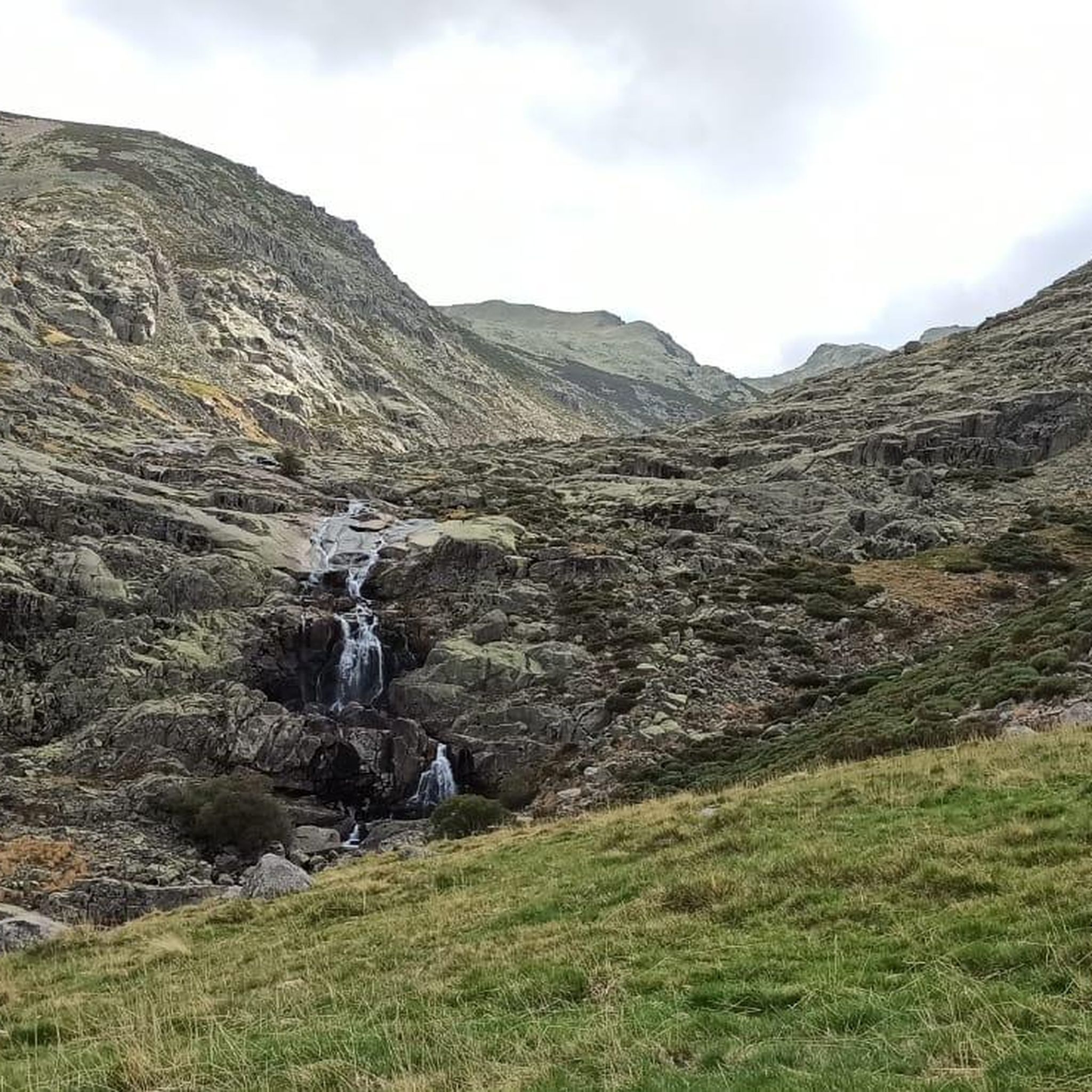
This lagoon is curious with respect to the rest since normally, glacial cirques tend to take a direction perpendicular to the ridge of the mountain, that is to say they descend in a north or south direction. This one, however, does it in an east direction, with the Covacha del Losar as the highest part!
0
1
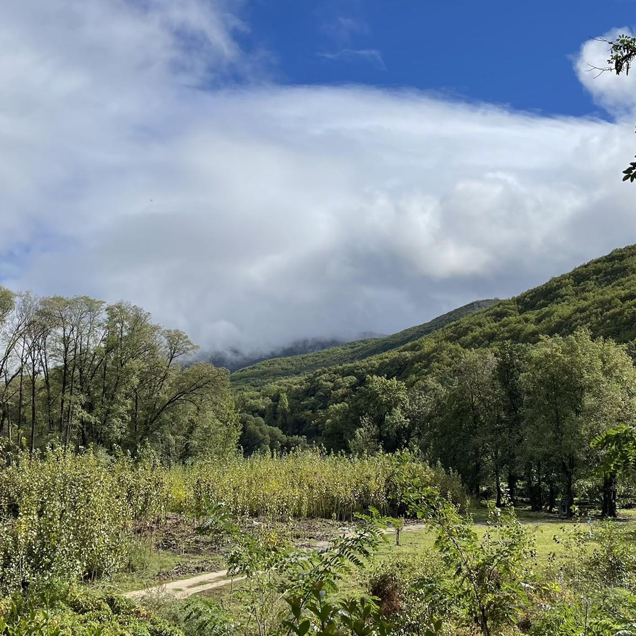
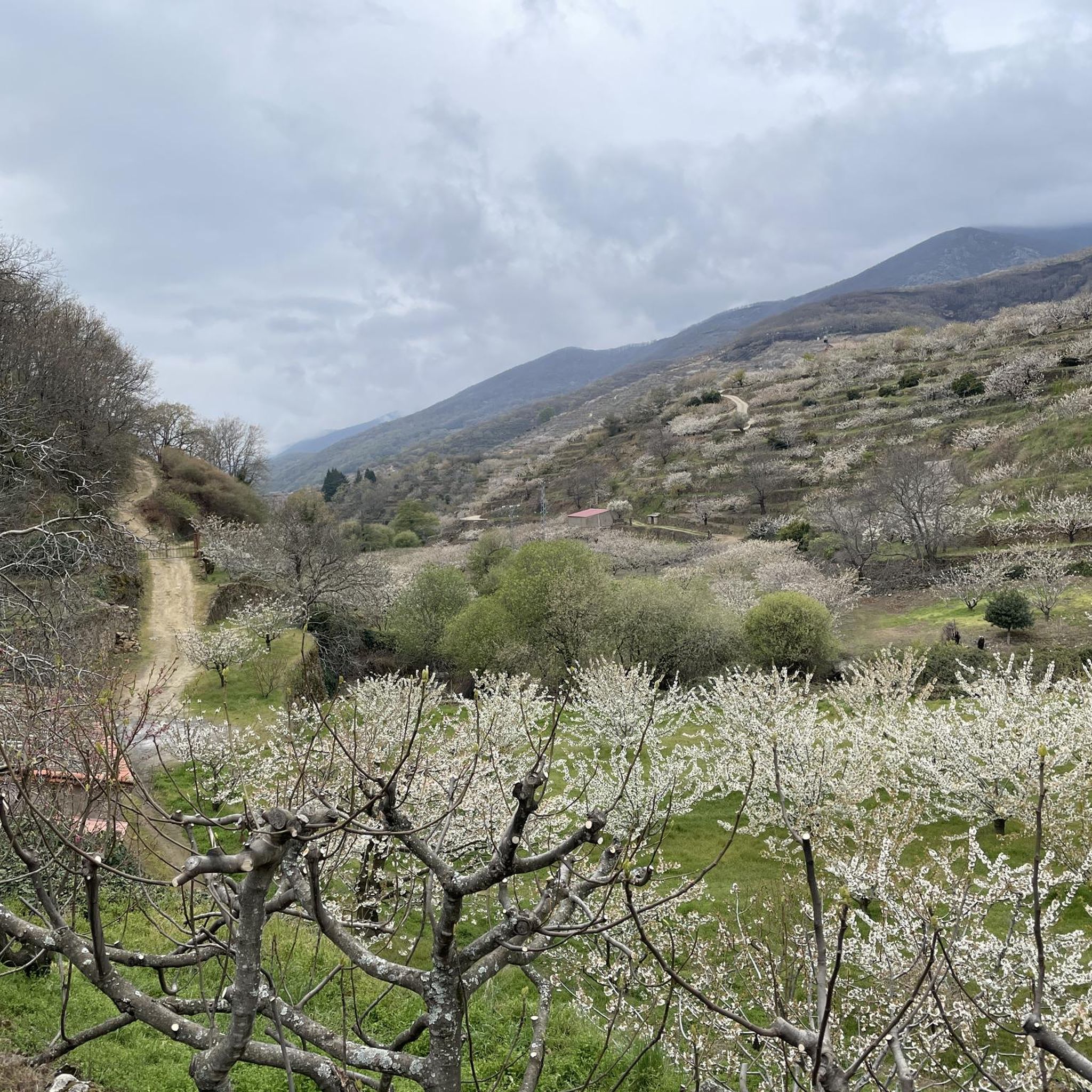
In the vicinity of the town of Barco de Ávila, at the foot of the Sierra de Gredos, there are a set of agricultural fields and beautiful forests to walk around and observe the town from afar.
1
0

Located at 1,275 meters above sea level, it is recognized as a historic mountain pass in the Sierra de Gredos and represents the physical division point of the Duero and Tagus basins. This site has been the passage of several civilizations. over the centuries and represents a site of great historical importance for the area.
1
1

The descent to the Barco lagoon follows a rough and delicate terrain through the Cuadrada lagoon to the shore of the great mountain lake where the Galín Gómez gorge begins. On the wall of the lagoon there is a mountain refuge and the short-distance path PR-AV 36 begins, which descends to the right of the glacial basin. The layout of the path improves immediately, especially when it reaches the terrain of the mountain pastures. At the Chozo de Anselmo de Las Escaleruelas you have to leave the short-distance trail, which follows the main lane to the left, and continue straight down towards the valley basin along a hillside complicated by vegetation. The path first passes over two ditches and a couple of bridges and then crosses the main stream of the valley, descending from the high peaks along the right bank of the gorge. The layout is imprecise at first and sometimes they get lost in the grassy fields.
0
0
The hidden Laguna de la Nava is hard to come by. The trail goes up a cobbled path and finally the artificial wall appears, built to increase the capacity of the original bucket excavated by the old glaciers that modeled the Corral del Diablo, the energetic and dark amphitheater that surrounds the rounded lagoon. The PR-AV 39 trail ends at the water's edge. The trail route continues along the path that goes up the eastern slope of the glacial cirque, the best place to continue running up the mountain. The path passes through some ruins and climbs towards the valley of the Ronchito stream.
0
0
Frequently Asked Questions
How many running routes can I find around Gil García?
There are 11 diverse running routes available around Gil García. These routes cater to various fitness levels, offering options for easy, moderate, and difficult runs through the region's beautiful landscapes.
What kind of terrain can I expect on the jogging trails in Gil García?
The terrain around Gil García is quite varied. You can expect routes through mountainous landscapes with significant elevation changes, especially near peaks like El Calvitero. There are also refreshing paths winding through river valleys, alongside natural pools and streams, and shaded trails within oak groves. This diversity provides excellent training opportunities and scenic views.
Are there any easy or beginner-friendly running routes in Gil García?
Yes, Gil García offers options for all skill levels. Among the 11 routes, there are 2 easy routes perfect for beginners or those looking for a more relaxed run. Additionally, there are 5 moderate routes that provide a good balance of challenge and accessibility.
Can I find circular jogging routes in the Gil García area?
Yes, circular routes are available. For example, the Prado del Moro loop from El Barco de Ávila is a popular moderate 4.0-mile (6.5 km) trail that takes you through the local countryside. Another option is the Puente del Tromes loop from El Barco de Ávila, also a moderate 4.0-mile (6.5 km) route.
What are some notable natural features or landmarks I might see while running near Gil García?
The region is rich in natural beauty. You might encounter stunning peaks like El Calvitero, La Ceja, and El Torreón, offering panoramic views. The Aravalle river flows through the municipality, providing scenic routes alongside natural pools. Nearby, you can find tranquil settings like the Laguna del Duque and Laguna de la Nava. For a dramatic sight, the Charco del Trabuquete waterfall is also a highlight in the area.
Are there any viewpoints along the running trails in Gil García?
Absolutely. Many routes in the mountainous terrain, especially those leading to or near peaks like El Calvitero, offer rewarding panoramic views. The Puerto de Tornavacas – running on the Camino Natural del Tajo (GR 10) trail provides scenic vistas near the Puerto de Tornavacas, a well-known viewpoint in the Valle del Jerte area.
What do other runners say about the trails in Gil García?
The running trails around Gil García are well-regarded by the komoot community, with over 50 runners having explored the varied terrain. Users often praise the diverse landscapes, from challenging mountain paths to refreshing river valleys and shaded oak groves, making it an appealing destination for outdoor enthusiasts.
Is Gil García a good destination for trail running with significant elevation changes?
Yes, Gil García is an excellent destination for trail running with significant elevation changes. The municipality is overlooked by prominent peaks such as El Calvitero, La Ceja, and El Torreón. The Circos de Nava y de la Laguna del Barco — circular por la Cuerda de Riscos Altos - Parque regional Sierra de Gredos route, for instance, is a difficult 14.4-mile (23.2 km) trail with over 1195 meters of elevation gain, offering a substantial challenge and panoramic views.
What is the best time of year for jogging in Gil García?
Gil García's diverse landscapes, including oak groves, offer pleasant conditions for jogging during various seasons. The oak groves provide shaded paths, which can be particularly enjoyable during warmer periods. Spring and autumn generally offer mild temperatures and beautiful scenery, while summer mornings or evenings can be refreshing. Winter running is also possible, though conditions may vary, especially at higher elevations.
Are there any specific natural parks or reserves nearby that enhance the running experience?
While Gil García itself is nestled in a naturally rich area, its proximity to significant natural parks enhances the overall outdoor adventure. The Sierra de Gredos Regional Park, where routes like Circos de Nava y de la Laguna del Barco are located, offers stunning mountainous scenery. The region also boasts natural scenery such as the Reserva Natural Garganta de los Infiernos (Gorge of Hell), known for its gorges and waterfalls, which is within reasonable distance.
Are there any running routes that start from Solana de Ávila?
Yes, there is a dedicated route starting from Solana de Ávila. The Running loop from Solana de Ávila is a moderate 3.5-mile (5.6 km) trail, offering a convenient option for runners based in or near Solana de Ávila.
Most popular attractions around Gil García

Get inspired with the komoot mobile app


Explore more
Browse the best Running Trails & Routes in other regions.
