The best mountain hikes around Bunyola
4.7
(250)
822
hikers
33
hikes
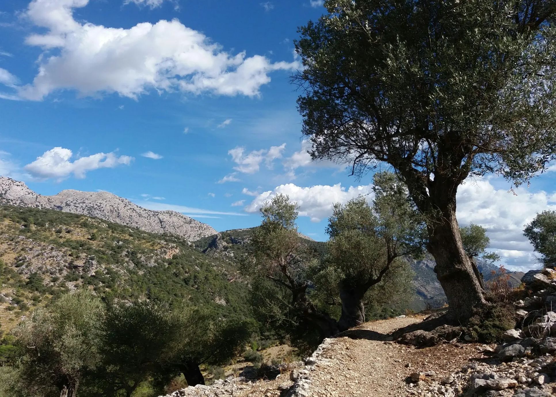
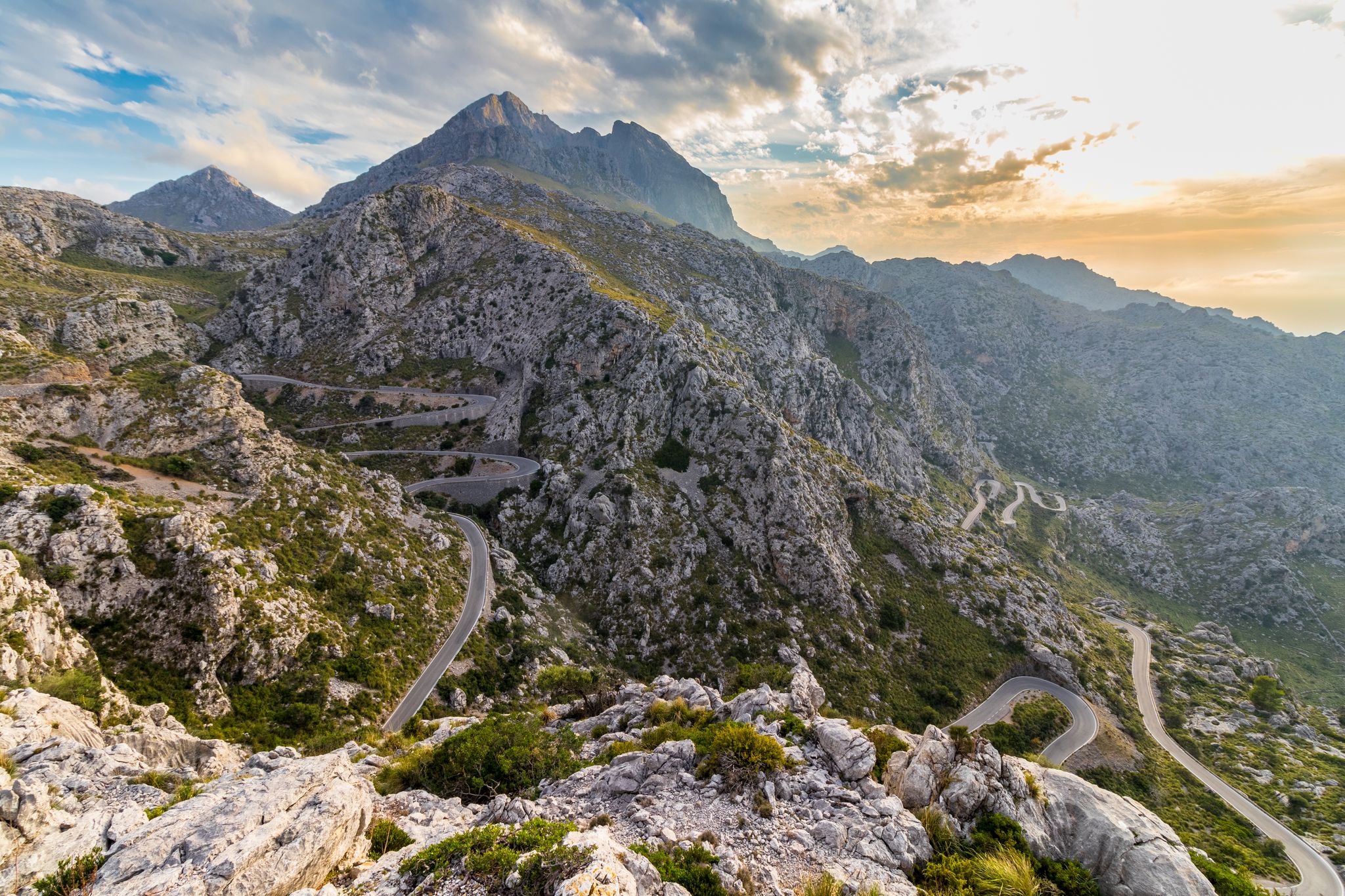
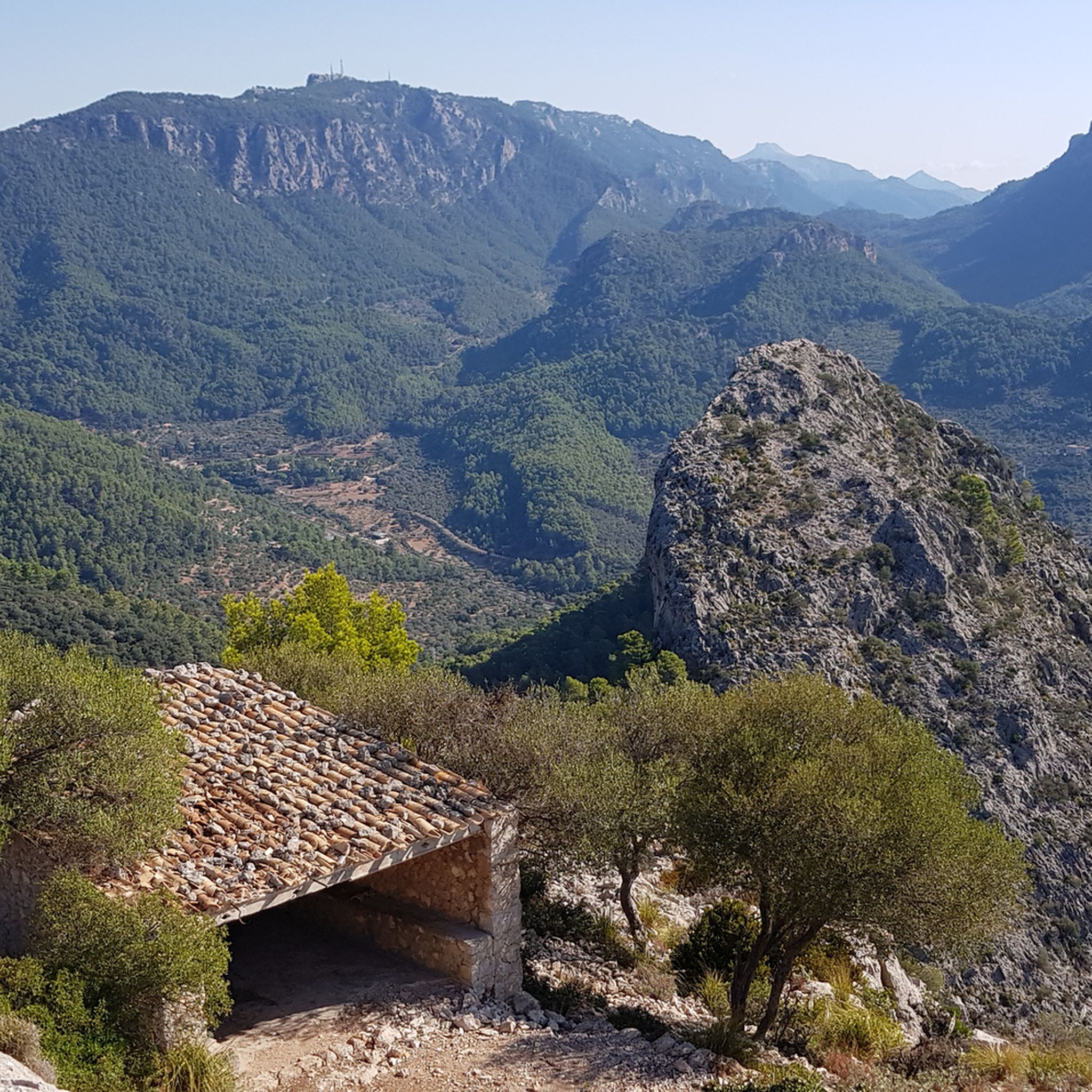
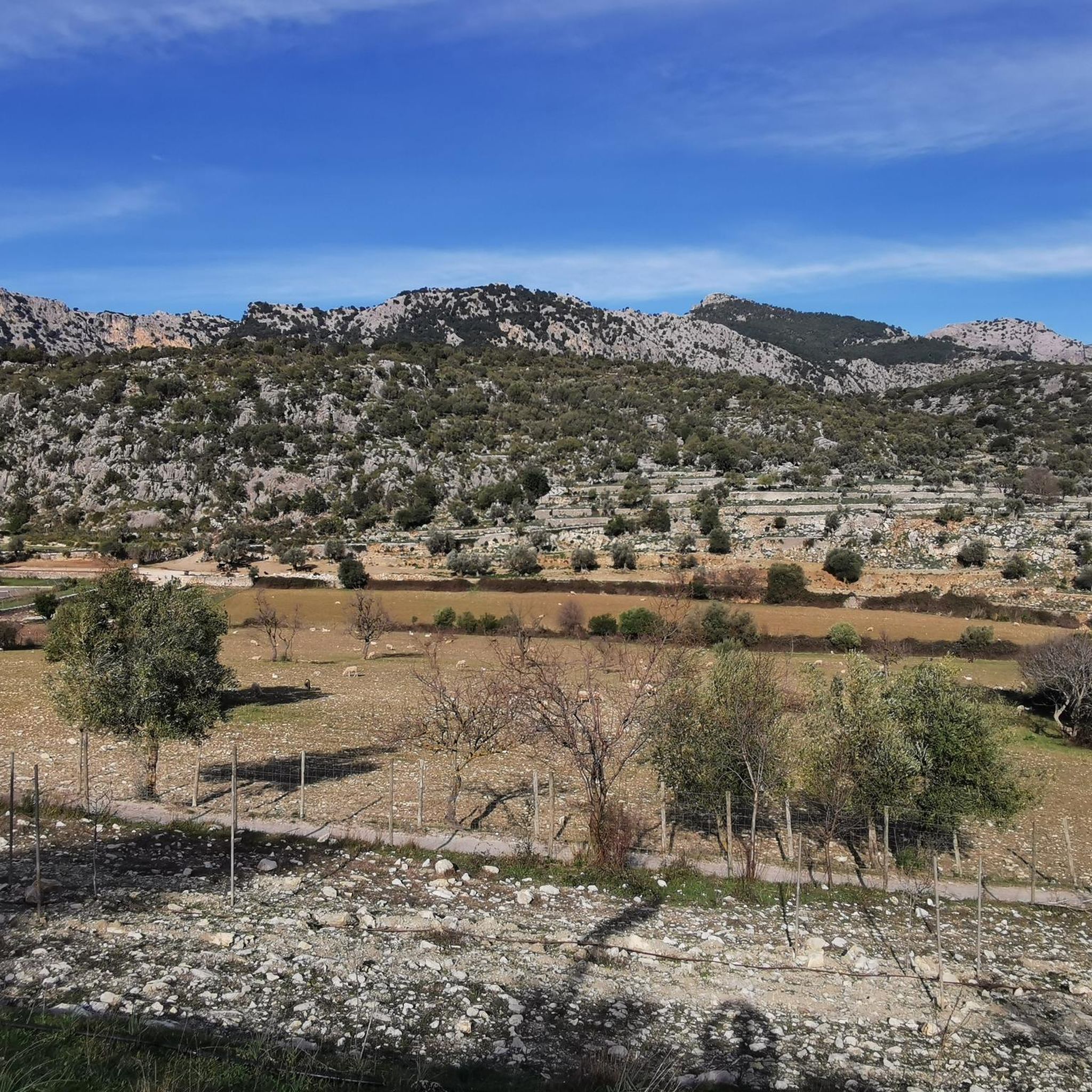
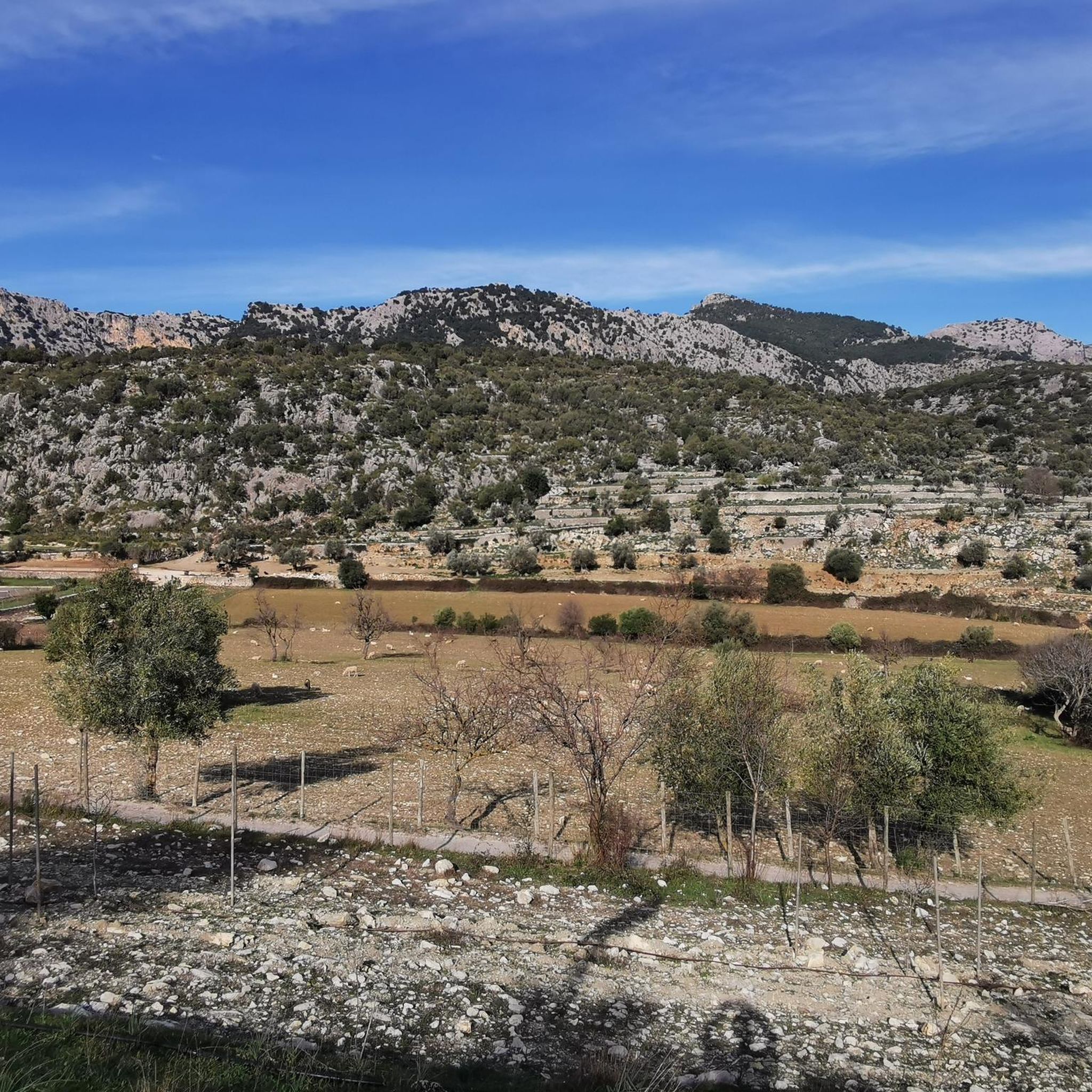
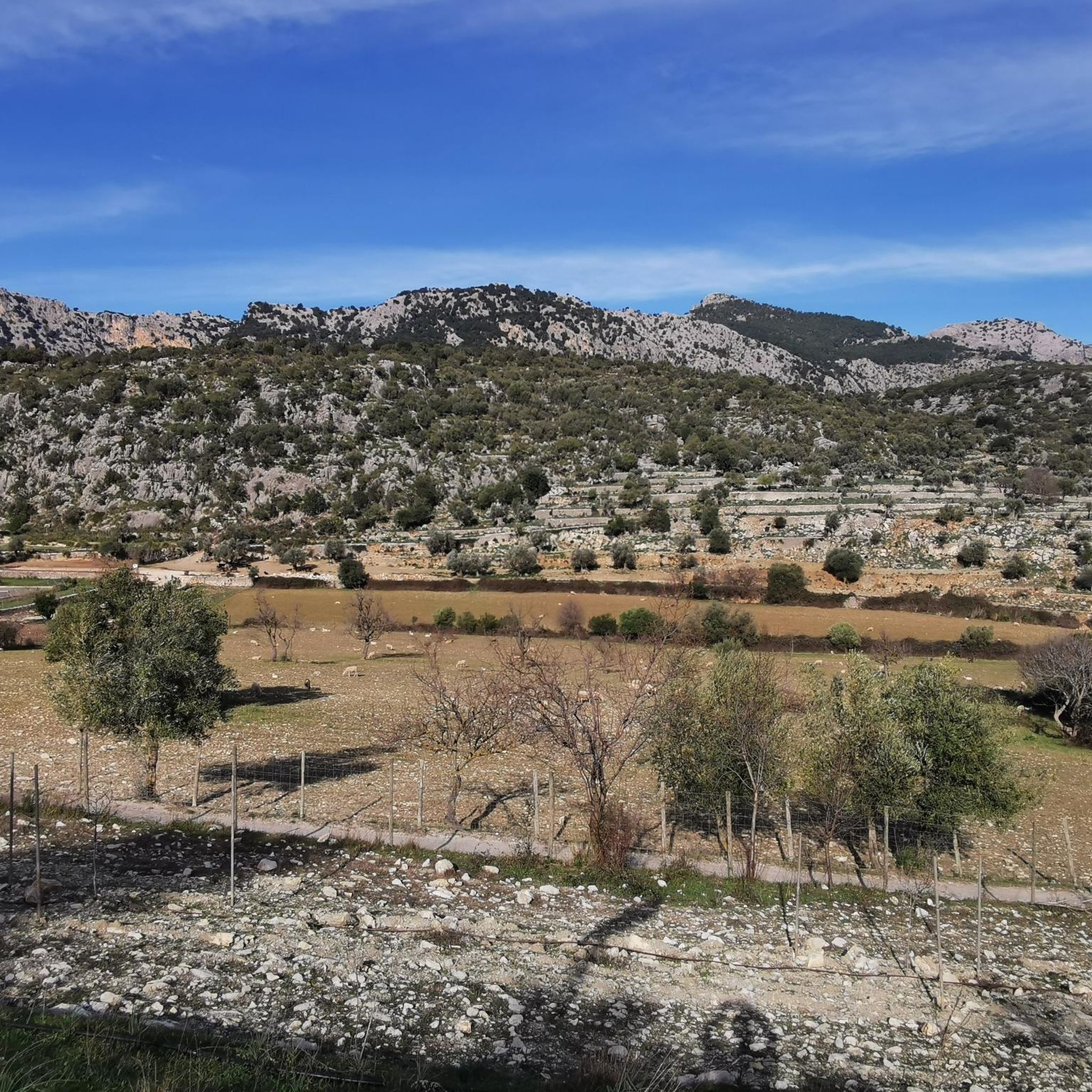
Mountaineering routes around Bunyola are situated within Mallorca's Serra de Tramuntana mountains, a UNESCO World Heritage site. The region is characterized by rugged limestone ridges, deep valleys, and lush vegetation, offering a dramatic backdrop for outdoor activities. Numerous peaks, some over 1,000 meters, provide challenging ascents and expansive views. The landscape features a mix of mountain paths, oak groves, and olive groves, creating diverse terrain for exploration.
Best mountaineering routes around Bunyola
- The most popular mountaineering route is View of…
Last updated: August 20, 2026
4.7
(91)
265
hikers
Hard mountaineering route. Good fitness required. Sure-footedness, sturdy shoes and alpine experience required.
4.8
(6)
26
hikers
8.67km
03:18
420m
420m
Moderate mountaineering route. Good fitness required. Mostly accessible paths. Sure-footedness required.

Sign up for free
4.8
(10)
34
hikers
12.3km
04:32
680m
680m
Moderate mountaineering route. Good fitness required. Mostly accessible paths. Sure-footedness required.
5.0
(1)
6
hikers
15.6km
04:53
490m
490m
Moderate mountaineering route. Good fitness required. Mostly accessible paths. Sure-footedness required.
5.0
(5)
9
hikers
Easy mountaineering route. Great for any fitness level. Easily-accessible paths. Suitable for all skill levels.
Get access to more routes and recommendations from other explorers.
Sign up for free
Already have an account?
Our route recommendations are based on thousands of hikes, rides, and runs completed by other people on komoot.
Start today with a free account
Your next adventure awaits.
Login or Signup


Tips from the Community

The Embassament de Cúber is located directly on an important stage of the GR 221 in the Serra de Tramuntana. The calm body of water is surrounded by barren peaks and wide slopes, offering a striking landmark on the long-distance hiking trail. An impressive section that harmoniously combines expansiveness, mountain scenery, and route guidance.
1
0
The view of the Embassament de Cúber shows the calm water surface embedded in the barren high mountain landscape of the Serra de Tramuntana. Surrounded by rugged slopes and wide plains, the reservoir appears particularly clear and still. An impressive panorama that particularly highlights the alpine side of Mallorca.
2
0
The view of the Embassament de Cúber shows the calm water surface nestled in the barren high mountain landscape of the Serra de Tramuntana. Surrounded by rugged peaks and wide slopes, the reservoir appears particularly clear and still. An impressive panorama that strikingly underlines the alpine side of Mallorca.
1
0
Far below, the view opens up to the Mediterranean Sea, which stretches in intense blue and turquoise hues to the horizon. Especially from the heights of the Serra de Tramuntana, an impressive contrast emerges between rugged rocks and the tranquil coastline. A quiet moment full of vastness, which makes Mallorca's special location between mountains and sea palpable.
1
0
A picturesque riverbed in the Serra de Tramuntana winds its way between rocks, gravel, and Mediterranean vegetation. Depending on the season, it carries water or remains as a dry streambed that clearly structures the landscape. A quiet section that impressively showcases the natural diversity and original character of the mountains.
1
0
From the slopes of the Serra de Tramuntana, a wide view opens up to Sóller with its fertile valley. Orange groves, natural stone houses, and the surrounding mountains form a harmonious landscape. An atmospheric viewpoint that impressively shows the special location of the place between the sea and the mountains.
1
0
The Barranc de Biniaraix is one of the most impressive gorges in the Serra de Tramuntana and leads uphill above Biniaraix on many historic stone steps. Between narrow rock walls, dry stone walls and watercourses, a varied and original landscape is created. A classic hiking trail that particularly impressively combines nature, history and mountain scenery.
2
0

A beautiful place accessible at the price of a good effort… that said, car access is possible.
2
0
Frequently Asked Questions
How many mountaineering routes are available in Bunyola?
Bunyola offers a wide array of mountaineering opportunities, with over 35 routes available. These range from easy strolls to challenging ascents, ensuring there's something for every skill level.
Are there any mountaineering routes suitable for beginners or families in Bunyola?
Yes, Bunyola has routes that are suitable for beginners and families. For an easier experience, consider the Cúber Reservoir loop from Embassament de Cúber, which is an easy 4.4 km trail. The region research also mentions the excursion to Raixa and Raixeta as an easier route suitable for families.
What kind of natural features or landmarks can I expect to see on these routes?
Mountaineering routes in Bunyola offer diverse natural beauty and historical landmarks. You can explore the dramatic landscapes of the Serra de Tramuntana, a UNESCO World Heritage site, with its rugged cliffs and lush vegetation. Many routes pass through ancient oak groves and olive groves. Notable landmarks include the historic Alaró Castle, which offers expansive views, and the picturesque Cúber Shelter. The natural waterfall of Salt des Freu is another enchanting feature accessible via a beautiful hike.
Are there any circular mountaineering routes around Bunyola?
Yes, many of the mountaineering routes in Bunyola are circular, allowing you to start and end at the same point. An example is the View of Cúber Reservoir – Puig de na Franquesa loop from Embassament de Cúber, a challenging 10.9 km trail offering panoramic views. Another popular option is the Stone Steps to Castell d'Alaró – Alaró Castle loop from Coll d'Orient.
What are the options for more challenging mountaineering in Bunyola?
For experienced mountaineers seeking a challenge, Bunyola offers several difficult routes. The View of Cúber Reservoir – Puig de na Franquesa loop from Embassament de Cúber is a difficult 10.9 km trail. Another demanding option is the Cap Gros Lighthouse – Cap Gros Lighthouse loop from Mirador des Pujol d’en Banya, which spans 16 km. The region's mountainous geography, with peaks over 1,000 meters like Puig de sa Rateta and Puig de s'Alqueria, provides ample opportunities for challenging ascents and explorations.
What do other mountaineers say about the routes in Bunyola?
The mountaineering routes in Bunyola are highly regarded by the komoot community, holding an impressive average rating of 4.8 stars from over 220 reviews. More than 850 mountaineers have used komoot to explore the varied terrain, often praising the dramatic limestone ridges, deep valleys, and ancient oak groves that define the region's trails.
Can I bring my dog on the mountaineering trails in Bunyola?
While many trails in the Serra de Tramuntana are dog-friendly, it's always recommended to check specific route regulations or local signage, especially within protected areas. Generally, dogs are welcome on leash, but be mindful of livestock and other hikers. Ensure your dog is fit for the terrain and carry enough water for both of you.
Are there specific climbing areas in Bunyola?
Yes, Bunyola is a notable destination for climbers, featuring three distinct climbing areas. Fraguel is known for its challenging routes, though it requires prior authorization. Sa Gúbia offers walls and routes suitable for climbers of all levels. Additionally, Ca'n Fill provides three sectors with routes ranging from grade V+ to 7c+, catering to a variety of climbing abilities.
What is the best time of year to go mountaineering in Bunyola?
Mallorca generally enjoys a Mediterranean climate, making spring (April-May) and autumn (September-October) ideal for mountaineering in Bunyola. During these seasons, temperatures are milder, and the weather is typically stable, offering comfortable conditions for longer hikes. Summers can be very hot, and some higher routes might be affected by snow in winter, though this is less common.
How can I reach the mountaineering trailheads using public transport?
Bunyola is accessible by public transport, which can help you reach various trailheads. The town is connected by train from Palma, and local bus services operate within the region. For specific trailheads, it's advisable to consult local transport schedules, such as those provided by visitbunyola.com, to plan your journey effectively.
Are there any routes that offer exceptional panoramic views?
Absolutely. Many routes in Bunyola boast incredible panoramic views, especially those reaching higher elevations within the Serra de Tramuntana. The View of Cúber Reservoir – Puig de na Franquesa loop offers stunning vistas of the reservoir and surrounding peaks. The path to Castell d'Alaró provides expansive views over the landscape. Additionally, peaks like Puig de l'Ofre summit and the renowned 'Archduke's Trail' (Camí de s'Arxiduc) are celebrated for their dramatic limestone ridges and sweeping views of the Mediterranean Sea.
What kind of wildlife might I encounter on the trails?
The diverse ecosystems of the Serra de Tramuntana, including oak groves and valleys, are home to various wildlife. You might spot birds of prey soaring above the peaks, such as the Black Vulture, which has a significant presence in the region. Smaller mammals, reptiles, and a rich variety of insects and plant life also thrive here. Keep an eye out for the endemic Balearic lizard.
Most popular routes around Bunyola
Most popular attractions around Bunyola

Get inspired with the komoot mobile app


Explore more
Browse the best Mountain Hikes & Routes in other regions.
