The best running trails around National Park del Hayedo Tejera Negra
4.5
(4)
413
runners
37
runs
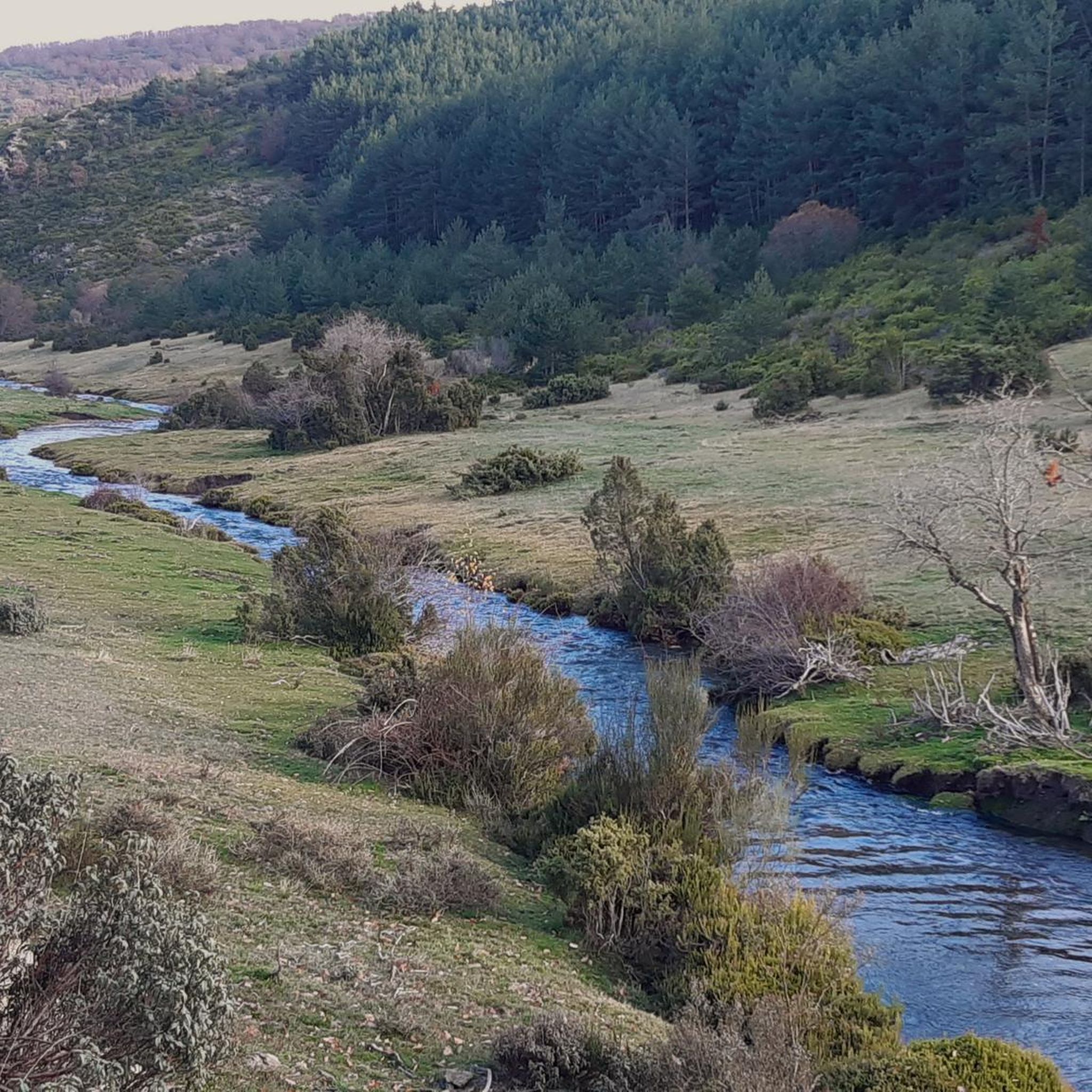
Jogging routes around National Park del Hayedo Tejera Negra traverse a landscape characterized by ancient beech forests, river valleys, and diverse flora. The park, a UNESCO World Heritage site, features a unique microclimate sustained by the Lillas and Zarzas rivers, which flow through its valleys. Runners can experience varied terrain, from well-maintained paths alongside waterways to more challenging ascents leading to panoramic viewpoints. This natural space offers a setting for running amidst significant ecological features.
Best jogging routes around National…
Last updated: July 2, 2026
1
runners
Hard run. Good fitness required. Sure-footedness, sturdy shoes and alpine experience required.
17
runners
Hard run. Good fitness required. Sure-footedness, sturdy shoes and alpine experience required.

Sign up for free
5
runners
9.68km
01:47
570m
570m
Hard run. Very good fitness required. Sure-footedness, sturdy shoes and alpine experience required.
19
runners
23.1km
04:06
1,140m
1,150m
Hard run. Very good fitness required. Sure-footedness, sturdy shoes and alpine experience required.
10
runners
17.5km
03:06
850m
860m
Hard run. Very good fitness required. Sure-footedness, sturdy shoes and alpine experience required.
Get access to more routes and recommendations from other explorers.
Sign up for free
Already have an account?
Our route recommendations are based on thousands of hikes, rides, and runs completed by other people on komoot.
Start today with a free account
Your next adventure awaits.
Login or Signup
Popular around National Park del Hayedo Tejera Negra
Tips from the Community

It is on the path leading up from Puerto de La Quesera to Pico del Lobo.
1
0
Place between Segovia and Guadalajara that is the starting point for many routes.
0
0
The dam's spillway has a system that allows trout to ascend through the water to the reservoir.
0
0

The parking lot in front of the Lillas River is an ideal starting point for exploring the Sierra Norte de Guadalajara Natural Park. Several signposted routes start from here, such as the Senda de Carretas and the Senda del Robledal.
5
0
The highest peak in the province of Guadalajara is a special place to admire the landscape in all directions. In winter, with the snow, it is even more beautiful, but at the same time more demanding due to the cold.
1
1
Pico del Lobo is the highest mountain in the Sierra de Ayllón and in the province of Guadalajara, with an altitude of 2,274 metres. It is a popular destination for hiking and offers spectacular views of both Segovia and Guadalajara.
7
0
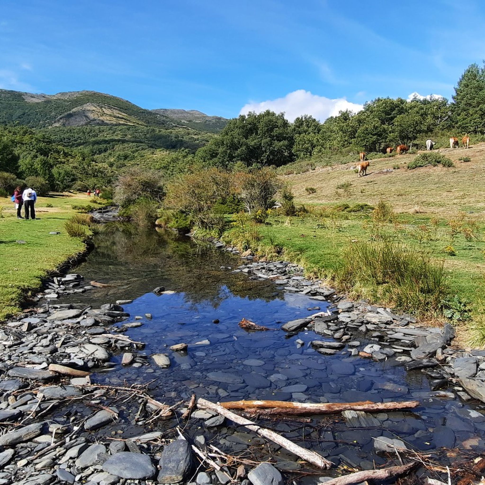
Meadow in the middle of mountains, rest after admiring the colorful leaves of the beech trees in autumn.
0
0
The Tejera Negra Beech Forest is beautiful all year round, but especially in Autumn, when the leaves change color. The nearby mountains that surround it constitute a spectacular landscape. The climb to some of them is hard but it is worth it.
1
0
Frequently Asked Questions
How many running routes can I find in National Park del Hayedo Tejera Negra?
There are over 35 dedicated running routes available in National Park del Hayedo Tejera Negra. These routes cater to various skill levels, from easy paths to more challenging trails with significant elevation changes.
What kind of terrain can I expect on the jogging routes in the park?
The terrain varies, offering a mix of well-maintained paths, sections alongside the Lillas and Zarzas rivers, and more challenging ascents. You'll primarily run through ancient beech forests, oak groves, and open areas, providing a diverse and engaging experience.
Are there any easy running routes suitable for beginners or families?
Yes, while many routes are considered difficult, there are a few easier options. The Circular trail running through the viewpoints of the Tejera Negra Black Beechwood Natural Park, for example, is a popular choice that offers a manageable distance and stunning views, though it is rated difficult due to elevation. For a generally accessible experience, the Senda de Carretas, a circular path starting from the park's parking lot, is often recommended for its comfortable paths and suitability for families.
What are some notable natural features or viewpoints I can see while running?
The park is renowned for its ancient beech forest, a UNESCO World Heritage site, which provides a unique backdrop. You can also enjoy the Lillas and Zarzas rivers, which carve through the valleys. For panoramic views, the Matarredonda Meadow Viewpoint offers stunning vistas of the entire beech forest from 1600 meters above sea level.
When is the best time of year to go jogging in National Park del Hayedo Tejera Negra?
While beautiful year-round, the park is particularly spectacular in autumn when the beech leaves transform into vibrant yellows, reds, and browns, creating a breathtaking backdrop for your run. The microclimate created by the rivers also ensures a fresh and often humid environment, pleasant for jogging.
Is parking available, and do I need to make reservations?
Yes, parking is available, for instance, at the Parking in front of the Lillas River. Due to the park's popularity, especially during peak seasons like autumn, reservations for parking are often necessary. It's advisable to check the park's official website for current requirements before your visit.
Are there any circular running routes in the park?
Yes, many routes in the park are circular, allowing you to start and end at the same point. An example is the Parking in front of the Lillas River – Tejera Negra Beech Forest loop from Aparcamiento Hayedo Tejera Negra, which follows the Lillas River through the dense beech forest.
What do other runners enjoy most about jogging in National Park del Hayedo Tejera Negra?
The area is highly rated by the komoot community, with an average score of 4.5 stars from over 400 visitors. Runners often praise the stunning natural surroundings, the unique ancient beech forest, and the diverse terrain that offers both challenging ascents and peaceful riverside paths.
Can I spot any wildlife while running in the park?
The park is home to diverse fauna. While jogging, you might encounter roe deer, foxes, wild cats, and wild boars. It's also a great place for birdwatching, with diurnal birds of prey like the golden eagle and red kite soaring overhead.
Are there any longer, more challenging running routes for experienced runners?
Absolutely. For seasoned runners seeking a greater challenge, routes like the Cerro Gordo – Mirador de Peñas Llanas loop from Ermita de Hontanares offer significant elevation gain over 8 miles (12.8 km), typically taking over two hours to complete. Another option is the Senda del Robledal, a longer circular route of approximately 17 kilometers, starting from the Interpretation Center.
What kind of trees and plants will I see along the running trails?
Beyond the dominant beech trees, the park boasts a rich variety of flora. You'll encounter yew, holly, birch, oak, hazel, and pine, especially in shadier valleys. The undergrowth features heather, broom, and various thickets, adding to the natural beauty of your run.
Is public transport available to reach the National Park del Hayedo Tejera Negra?
While the region is primarily accessed by car, some local bus services might connect to nearby towns. However, direct public transport to the park's trailheads is limited. It's recommended to check local transport schedules or consider carpooling for easier access to the running routes.
Most popular routes around National Park del Hayedo Tejera Negra
Most popular attractions around National Park del Hayedo Tejera Negra

Get inspired with the komoot mobile app


Explore more
Browse the best Running Trails & Routes in other regions.
