The best running trails around National Park Sierra de Sierra Mágina
4.5
(2)
239
runners
41
runs
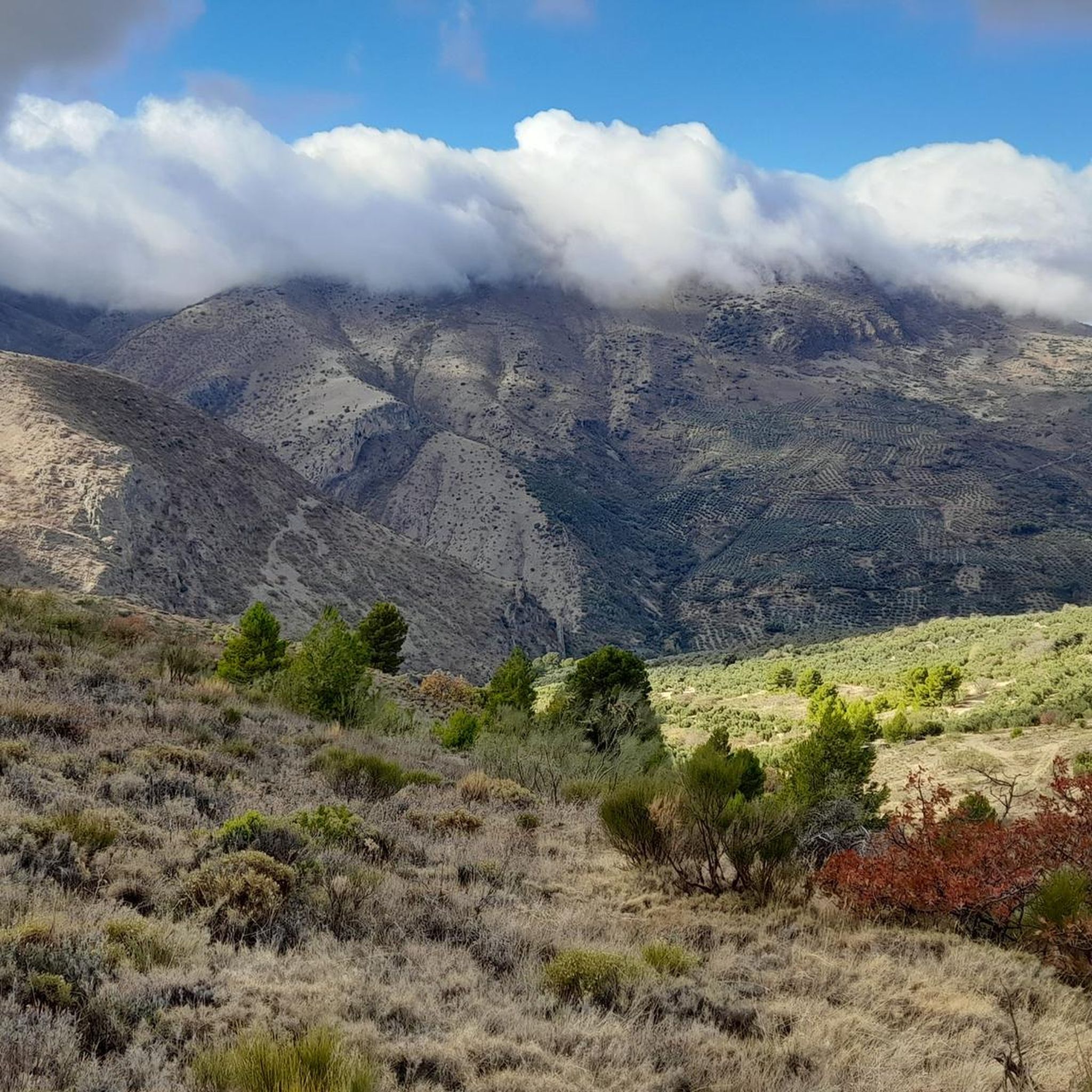
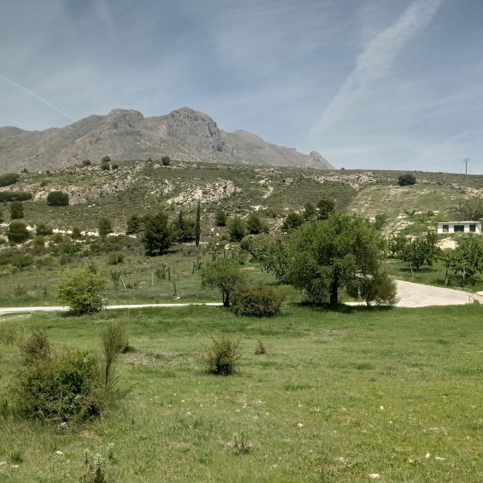
Jogging routes around National Park Sierra de Sierra Mágina traverse a landscape characterized by diverse and rugged terrain, including limestone formations and significant elevation changes. The region features a mix of steep rocky areas, shady forests, and riverbanks, providing varied environments for running. Trails often lead through holm oak and pine forests, with some routes following the Cuadros River. The park's highest point is Pico Mágina at 2,167 meters, offering expansive views.
Best jogging routes around National Park Sierra de Sierra Mágina
- The most popular jogging route is Las Viñas Trail, a 5.0 miles (8.0 km) trail that takes 1 hour 11 minutes to complete. This difficult route features significant elevation gain and passes through old vineyards.
- Another top favourite among local runners is Ascent to Pico Mágina and Miramundos, a difficult 13.7 miles (22.1 km) path. This challenging route offers vast views from high-altitude areas.
- Local runners also love the Pico Mágina Summit (2,167 m) – Miramundos Shelter loop from Cortijo de Vista Alegre, a 12.4 miles (20.0 km) trail leading through mountainous terrain, often completed in about 3 hours 5 minutes.
- Jogging around National Park Sierra de Sierra Mágina is defined by mountainous terrain, diverse forests, and river valleys. The network offers options for different ability levels, from easy paths to challenging mountain ascents.
- The routes in National Park Sierra de Sierra Mágina are highly rated by the komoot community with an average score of 4.5 stars from 2 reviews. More than 260 runners have used komoot to explore National Park Sierra de Sierra Mágina's varied terrain.
Last updated: July 7, 2026
13
runners
8.03km
01:12
360m
370m
Jog the difficult Las Viñas Trail for 5.0 miles (8.0 km) through Parque Natural Sierra Mágina, gaining 1186 feet (361 metres) in elevation.
10
runners
6.87km
01:02
330m
350m
Challenge yourself on the difficult Las Viñas Trail, a 4.3-mile jogging route with 1098 feet of elevation gain in Sierra Mágina Natural Park

Sign up for free
6
runners
22.1km
03:20
1,110m
1,110m
Challenging 13.7-mile trail run to Pico Mágina and Miramundos with 3653 feet of gain, offering vast views in Sierra Mágina.
27
runners
20.0km
03:05
1,030m
1,030m
Hard run. Very good fitness required. Mostly paved surfaces. Suitable for all skill levels.
26
runners
Hard run. Very good fitness required. Mostly paved surfaces. Suitable for all skill levels.
Get access to more routes and recommendations from other explorers.
Sign up for free
Already have an account?
Our route recommendations are based on thousands of hikes, rides, and runs completed by other people on komoot.
Start today with a free account
Your next adventure awaits.
Login or Signup
Tips from the Community

Nice viewpoint. You cannot go up to the top of the tower (door closed)
0
0
Very pretty! Be prepared to get your feet wet to discover the waterfall, the different "chambers" are well worth it!
0
0

The source of the Cuadros River is a place of great natural beauty located in the Sierra Mágina Natural Park, near Bedmar and Garcíez. This source, also known as the Sistillo, is one of the highlights of the Oleander Route.
5
0
The Cuadros oleander trail in Bedmar and Garcíez includes a short tunnel, approximately 10 meters long, which is part of the route. This tunnel runs parallel to a irrigation ditch and connects to the access slope to the Cuadros Sanctuary.
5
0
The Torreón de Cuadros is a cylindrical tower located in Bedmar y Garcíeza. This tower has a diameter of 6.37 meters and a height of 12 meters, with walls 1.6 meters thick. It was built on an earlier structure, possibly of Moorish origin, and is mentioned in a document by Alfonso X from 1260.
5
0
The Cueva del Agua in Bedmar y Garcíez is a fascinating place located in the Sierra Mágina Natural Park. This cave is known for its impressive geological formations created by the passage of water over time.
5
0

A real spectacle in its surroundings. From there you can see all the worlds, hence its name "Miramundos."
0
0
I loved it 😍🎈 "Where the earth touches the sky, there Mágina watches, eternal sentinel of the Holy Kingdom."
0
0
Frequently Asked Questions
How many running routes are available in National Park Sierra de Mágina?
There are over 40 dedicated running routes around National Park Sierra de Mágina. These routes cater to various fitness levels, ranging from easy paths to challenging mountain ascents, ensuring a diverse experience for all runners.
Are there easy or beginner-friendly jogging paths in Sierra de Mágina?
Yes, while many routes are challenging, there are options for easier jogs. The Adelfal de Cuadros Trail, for example, is an easy 1 km circular walk that winds through one of the largest oleander groves in the Iberian Peninsula, following the Cuadros River. It's ideal for a leisurely jog or a family outing.
What are some challenging running routes in National Park Sierra de Mágina?
For experienced trail runners seeking a challenge, the Ascent to Pico Mágina and Miramundos is a difficult 22.1 km (13.7 miles) path with substantial elevation gain, offering vast views from high-altitude areas. Another demanding option is the Cueva del Agua de Bedmar – Source of the Cuadros River loop from Ermita y Torreón de Cuadros, which covers nearly 20 km with over 1000 meters of elevation gain.
Are there any circular jogging routes in the park?
Yes, several routes offer a circular experience. The Pico Mágina Summit (2,167 m) – Miramundos Shelter loop from Cortijo de Vista Alegre is a popular circular trail running route, covering 20 km through mountainous terrain. Additionally, the 'Sendero de Gibralberca' is an easy 4.5 km circular walk through Mediterranean woodland and pine plantations, offering great views of peaks like Mágina and Almadén.
What kind of scenic viewpoints can I expect on the running trails?
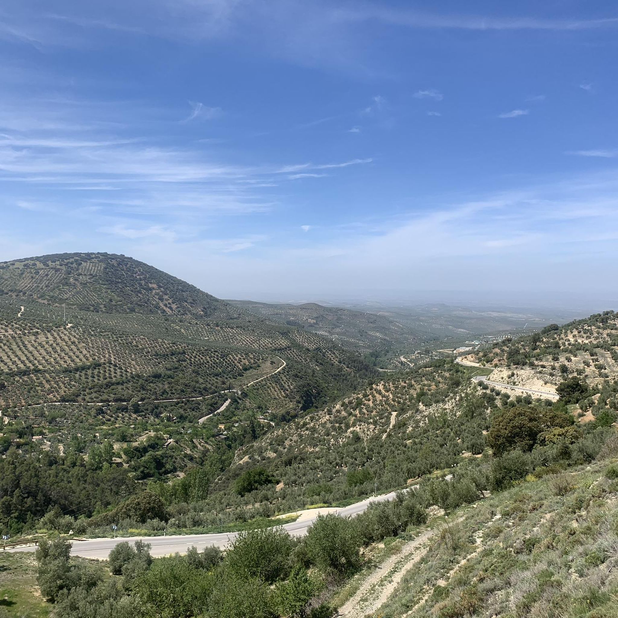
Many jogging trails in Sierra de Mágina lead to magnificent panoramic views. You can expect breathtaking vistas of the surrounding 'sea of olive trees' that characterizes the region. High-altitude areas, especially near Pico Mágina Summit (2,167 m), offer barren, rocky landscapes and expansive views towards Úbeda, Baeza, and the Guadalquivir valley.
Are there any routes that pass by waterfalls or significant water features?
Yes, the park features several water attractions. The 'Sendero de Fuenmayor' is an 11 km circular walk that leads to the impressive Cascada del Zurreón waterfall. You can also explore routes along the Cuadros River, which flows past the Source of the Cuadros River and through the large oleander groves.
What do other runners enjoy most about jogging in National Park Sierra de Mágina?
The area is highly rated by the komoot community, with an average score of 4.5 stars. Runners often praise the diverse and rugged terrain, the significant elevation changes that provide a good workout, and the stunning panoramic views. The mix of steep rocky formations, shady forests, and riverbanks offers a rich and engaging environment.
What are some interesting landmarks or attractions near the running routes?
Beyond the natural beauty, the park has historical significance. You can find numerous castles, towers, and fortresses, such as the well-preserved Moorish castle in Jódar. Natural landmarks include the Cueva del Agua de Bedmar, a cave with impressive geological formations, and the Torreón de Cuadros.
Is there parking available near the jogging trails?
While specific parking locations for every trail are not detailed, many trailheads and visitor centers within National Park Sierra de Mágina, such as the one in Jódar, typically offer parking facilities. It's advisable to check specific route descriptions or local park information for the most convenient parking for your chosen starting point.
What is the best time of year for running in Sierra de Mágina?
The varied terrain of Sierra de Mágina makes it suitable for running throughout much of the year. Spring and autumn offer pleasant temperatures and vibrant landscapes. Summers can be hot, especially at lower altitudes, so early mornings or late evenings are recommended. In winter, higher elevations might experience snow and colder conditions, but lower trails can still be enjoyable, and the Cascada del Zurreón waterfall can even freeze, offering a unique sight.
Are there any routes that pass through old vineyards?
Yes, the Las Viñas Trail is a challenging 8.0 km (5.0 miles) route that takes runners through old vineyards, offering excellent views towards Úbeda, Baeza, and the Guadalquivir valley. This route features significant elevation gain, making it a rewarding experience.
Most popular routes around National Park Sierra de Sierra Mágina
Most popular attractions around National Park Sierra de Sierra Mágina

Get inspired with the komoot mobile app


Explore more
Browse the best Running Trails & Routes in other regions.
