The best MTB trails around National Park Chera-Sot Chera
4.7
(53)
665
riders
49
rides
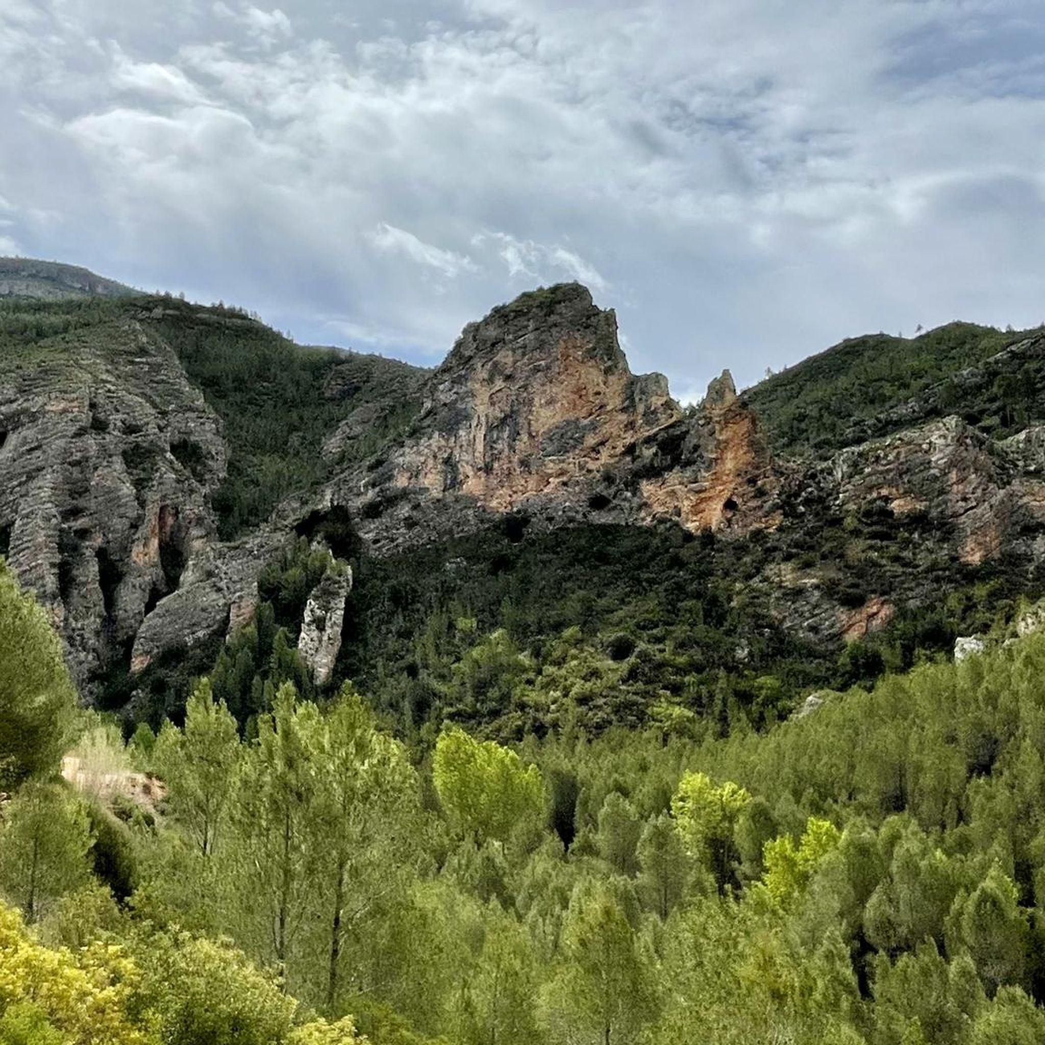
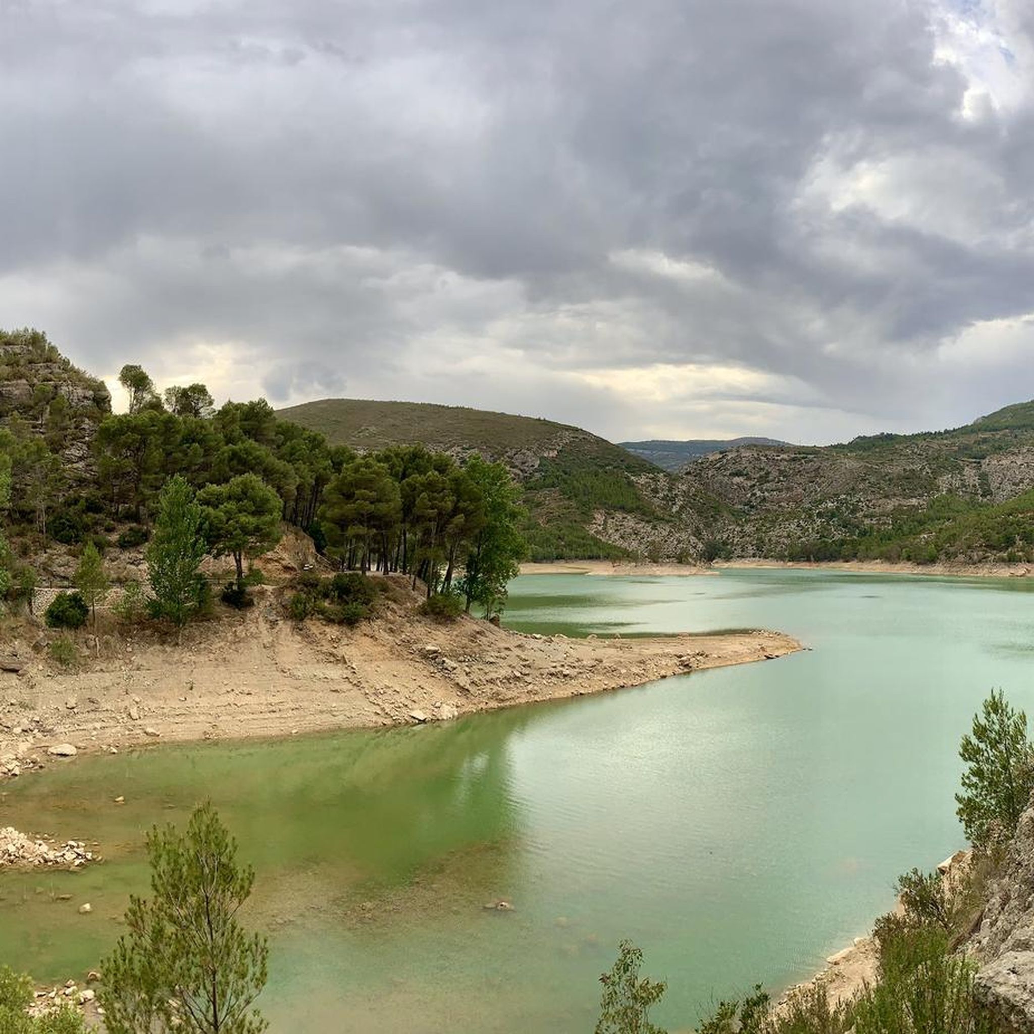
Mountain biking around National Park Chera-Sot Chera offers diverse and dramatic landscapes within the mountainous interior of Valencia, Spain. The region is characterized by deep gorges, steep mountains, and fertile valleys, carved into Cretaceous limestone and dolomite. Elevations range from 400 to 1,100 meters, providing varied terrain for mountain bike trails. The park also features serene reservoirs and impressive geological formations, including the Chera Geopark.
Best mountain bike trails around National Park Chera-Sot Chera
- The most popular mountain bike trail…
Last updated: July 2, 2026
5.0
(1)
5
riders
31.8km
03:49
1,100m
1,100m
Hard mountain bike ride. Very good fitness required. Advanced riding skills necessary. Some portions of the route may require you to push your bike.
27
riders
28.6km
03:25
1,120m
1,120m
Hard mountain bike ride. Very good fitness required. Advanced riding skills necessary. Some portions of the route may require you to push your bike.

Sign up for free
21
riders
35.0km
03:21
920m
920m
Hard mountain bike ride. Very good fitness required. Suitable for all skill levels.
17
riders
45.9km
04:26
1,140m
1,140m
Hard mountain bike ride. Very good fitness required. Suitable for all skill levels.
5.0
(1)
6
riders
36.8km
04:08
1,220m
1,220m
Hard mountain bike ride. Very good fitness required. Advanced riding skills necessary. Some portions of the route may require you to push your bike.
Get access to more routes and recommendations from other explorers.
Sign up for free
Already have an account?
Our route recommendations are based on thousands of hikes, rides, and runs completed by other people on komoot.
Start today with a free account
Your next adventure awaits.
Login or Signup
Tips from the Community

The Reatillo River, also known as the Sot River in its final stretch, is a tributary of the Turia River that flows through spectacular natural surroundings in the province of Valencia, particularly in the Chera-Sot de Chera Natural Park. In Sot de Chera, the river forms natural pools or "charcos" (pools), ideal for swimming, especially in summer. One of the best known is Charco Gruñidor, a natural pool of crystal-clear water surrounded by vegetation and rocks.
4
0
The Reatillo River, also known as the Sot River in its final stretch, is a tributary of the Turia River that flows through spectacular natural surroundings in the province of Valencia, particularly in the Chera-Sot de Chera Natural Park. In Sot de Chera, the river forms natural pools or "charcos" (pools), ideal for swimming, especially in summer. One of the best-known is Charco Gruñidor, a natural pool of crystal-clear water surrounded by vegetation and rocks.
4
0

Update after La Dana, the fountain is almost destroyed, but the water is still flowing, now at ground level (I put a photo).
1
1
A small additional, useful detail: this fountain has water all year round, even at the end of summer.
2
1

Beautiful fountain at the entrance to the village
6
1

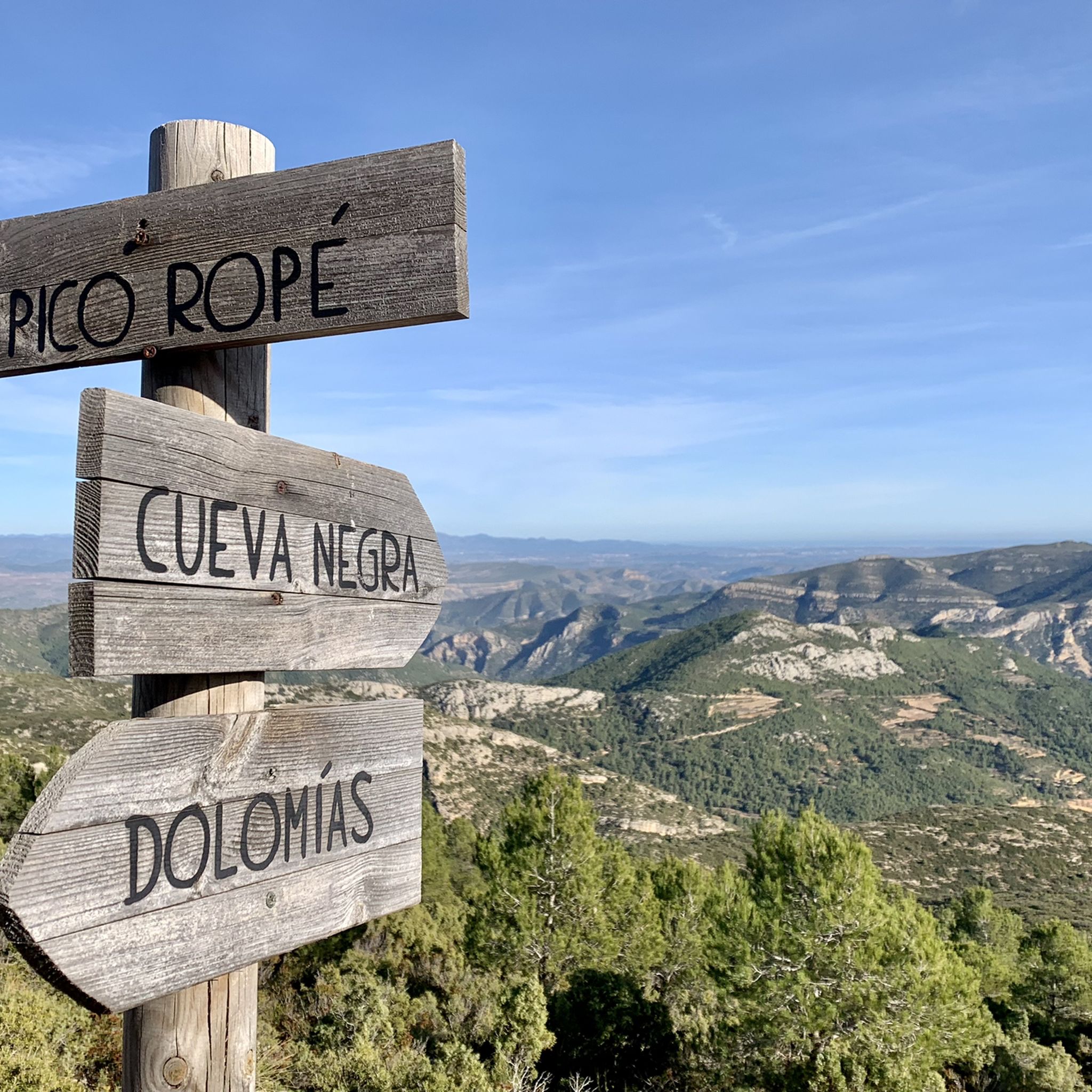
The climb to Pico Ropé is one of the most classic routes in Chera. The effort of the climb is rewarded with spectacular panoramic views, especially on clear days, where you can see the coast of Valencia.
1
0

At the moment, they are undergoing renovations and it is not possible to access.
0
0
The "name" (or at least the description) is Anticline (apparently, it is the geological definition of the folds) I add photos with the information.
0
0
Frequently Asked Questions
How challenging are the mountain bike trails in National Park Chera-Sot Chera?
The mountain bike trails in National Park Chera-Sot Chera are predominantly challenging. Out of 46 routes, 20 are classified as difficult, requiring very good fitness and advanced riding skills. Some sections may even necessitate pushing your bike. There are also 26 moderate options available for those looking for a less intense ride.
Are there any mountain bike trails suitable for beginners or families?
While the region is known for its challenging terrain, there are 26 moderate mountain bike routes available in National Park Chera-Sot Chera. These trails offer a less intense experience compared to the difficult routes, making them more accessible for riders with intermediate skills or families looking for a scenic ride without extreme technical demands. There are no routes specifically classified as easy.
What kind of terrain can I expect on the mountain bike trails?
You can expect a diverse and dramatic landscape. The trails traverse deep gorges, steep mountains, and fertile valleys, carved into Cretaceous limestone and dolomite. Elevations range from 400 to 1,100 meters, offering varied terrain. You'll encounter impressive geological formations, including those within the Chera Geopark, and potentially ride through riparian woodlands, holm-oak forests, and pine stands.
Are there any circular mountain bike routes in the park?
Yes, many of the mountain bike routes in National Park Chera-Sot Chera are circular. For example, you can explore the Chera-Sot de Chera Natural Park - Circular ascent to Rope Peak, a 31.8 km difficult trail, or the Sot de Chera Anticline – Sot de Chera loop from Sot de Chera, a 28.7 km route through geological formations.
What are some notable natural attractions or viewpoints along the mountain bike trails?
The park offers stunning natural beauty. Many trails provide access to scenic viewpoints, such as those found on the Chera-Sot de Chera Natural Park - Circular ascent to Rope Peak route, which leads to Pico Ropé. You might also encounter impressive geological formations like the Chera Geopark, deep gorges carved by the Río Reatillo, and serene reservoirs with turquoise waters.
Can I see any waterfalls or natural pools while mountain biking?
While mountain biking trails may not always lead directly to them, the National Park Chera-Sot Chera is rich in water features. The Reatillo River forms natural pools like Charco Gruñidor, perfect for a refreshing swim. The park also features notable waterfalls such as the 12-meter interior waterfall in Cueva del Turche and the Chorrero de la Castellana and Charco de las Lumbres waterfalls near Cueva de la Garita.
What do other mountain bikers enjoy most about the trails in National Park Chera-Sot Chera?
The mountain bike trails in National Park Chera-Sot Chera are highly rated by the komoot community, with an average score of 4.7 stars from over 50 reviews. Riders frequently praise the diverse and dramatic landscapes, the challenging nature of the routes, and the impressive geological formations encountered along the way. The varied terrain and scenic viewpoints are also often highlighted as key attractions.
What is the longest mountain bike route in the area?
The longest mountain bike route listed is the Sot de Chera Anticline – Sot de Chera Castle loop from Chera, which spans 46.7 km. This difficult trail involves significant elevation gain and descent, offering a substantial ride for experienced mountain bikers.
Is there parking available near the mountain bike trails?
While specific parking locations are not detailed for every trail, the towns within and around the National Park, such as Sot de Chera and Chera, typically offer parking facilities. It is advisable to check the starting point of your chosen route on komoot for more precise parking information.
What is the best season for mountain biking in National Park Chera-Sot Chera?
The mountainous interior of Valencia generally offers good conditions for mountain biking for much of the year. However, spring and autumn are often ideal, providing pleasant temperatures and vibrant scenery. Summers can be hot, making early morning or late afternoon rides preferable, especially if you plan to take advantage of natural pools for a refreshing swim. Winters are generally mild, allowing for year-round activity, though higher elevations might experience cooler temperatures.
Are there any specific trails known for significant descents?
Yes, the Sot de Chera Castle – Trail Junction at Cuesta Larga loop from Sot de Chera includes the "La Cuesta Larga" trail, which is specifically known for its considerable elevation descent of 453 meters, offering an exhilarating experience for downhill enthusiasts.
How many mountain bike trails are available in National Park Chera-Sot Chera?
There are 46 mountain bike trails available in National Park Chera-Sot Chera listed on komoot. These range from moderate to difficult, offering a variety of options for different skill levels.
Most popular routes around National Park Chera-Sot Chera
Most popular attractions around National Park Chera-Sot Chera

Get inspired with the komoot mobile app


Explore more
Browse the best MTB trails in other regions.
