The best cycling routes around Pizarra
4.7
(144)
1,941
riders
90
rides
Touring cycling around Pizarra offers diverse landscapes within the Guadalhorce Valley, characterized by scenic hills and mountains such as Sierra Prieta and Sierra de Alcaparain. The region features varied terrain, from flat stretches along the Rio Guadalhorce to challenging climbs through mountainous passes. Cyclists can experience routes that wind through valleys and ascend to viewpoints, providing sweeping panoramas. The area also provides access to unique geological formations like the Torcal de Antequera.
Best touring cycling routes around Pizarra
- The most…
Last updated: October 8, 2026
11
riders
87.2km
05:52
1,420m
1,420m
Hard bike ride. Very good fitness required. Mostly paved surfaces. Suitable for all skill levels.
9
riders
26.8km
02:36
760m
760m
Hard bike ride. Very good fitness required. Mostly paved surfaces. Suitable for all skill levels.

7
riders
36.0km
02:15
410m
410m
Moderate bike ride. Good fitness required. Mostly paved surfaces. Suitable for all skill levels.
5.0
(1)
8
riders
14.1km
01:32
430m
430m
Moderate bike ride. Good fitness required. Mostly paved surfaces. Suitable for all skill levels.
6
riders
32.1km
02:08
440m
440m
Moderate bike ride. Good fitness required. Mostly paved surfaces. Suitable for all skill levels.
Get access to more routes and recommendations from other explorers.
Already have an account?
Our route recommendations are based on thousands of hikes, rides, and runs completed by other people on komoot.
Start today with a free account
Your next adventure awaits.
Other adventures around Pizarra

Tips from the Community

Álora, a Spanish municipality in the province of Málaga, Andalusia, is located in the Guadalhorce valley and covers an area of 169.62 km². Its history dates back to prehistoric times in Hoyo del Conde, with influences from the Turdetani, Phoenicians, and Romans, who fortified the castle, whose foundations are of Phoenician origin. The inhabitants are known as aloreños or perotes, the latter name being attributed to the first councilman Don Pero. Álora lies between hills on the banks of the Guadalhorce River and on the railway line towards Málaga, Seville, Córdoba, and Granada. The municipality includes the El Chorro natural area with the famous Caminito del Rey and a landscape of pine forests and hills with cereal and olive plantations. The landscape is characterized by the Guadalhorce valley and the mountains of the Sistema Bético with citrus and olive cultivation.
1
0

Well-lit tunnel as a shortcut to the start of the Caminito del Rey. A bit low for people 1.90m and taller, otherwise another highlight around the Caminito del Rey. The tunnel is approx. 500m long and you can see the end of the tunnel right from the beginning.
4
0

The Pizarra Bridges are historic bridges spanning the Guadalhorce River, connecting road and rail traffic. Nestled in the picturesque Guadalhorce Valley with its olive groves and fields, they offer not only functional value but also cultural and historical significance. The Mirador viewpoint offers particularly good views of the bridges and the surrounding landscape, making it a popular destination for cycling tours.
1
0
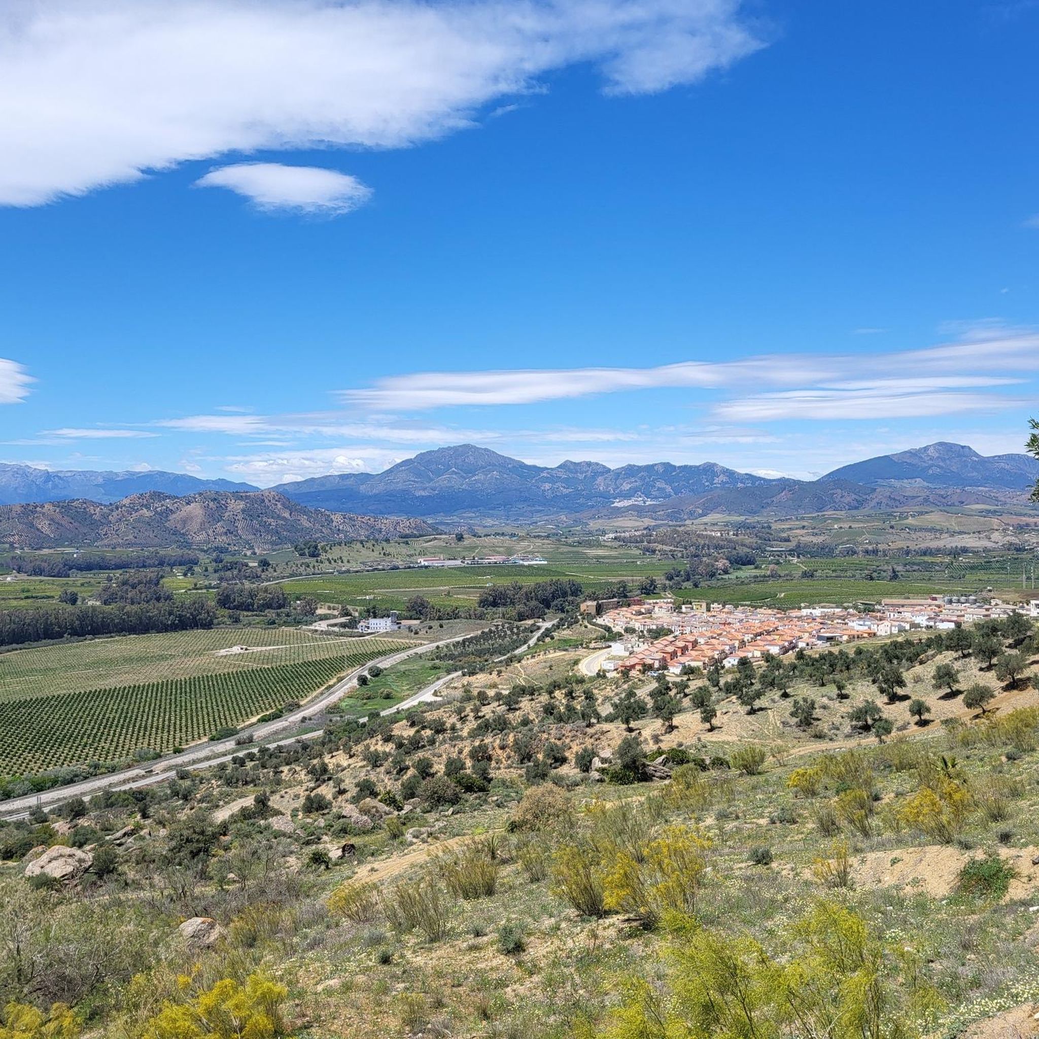
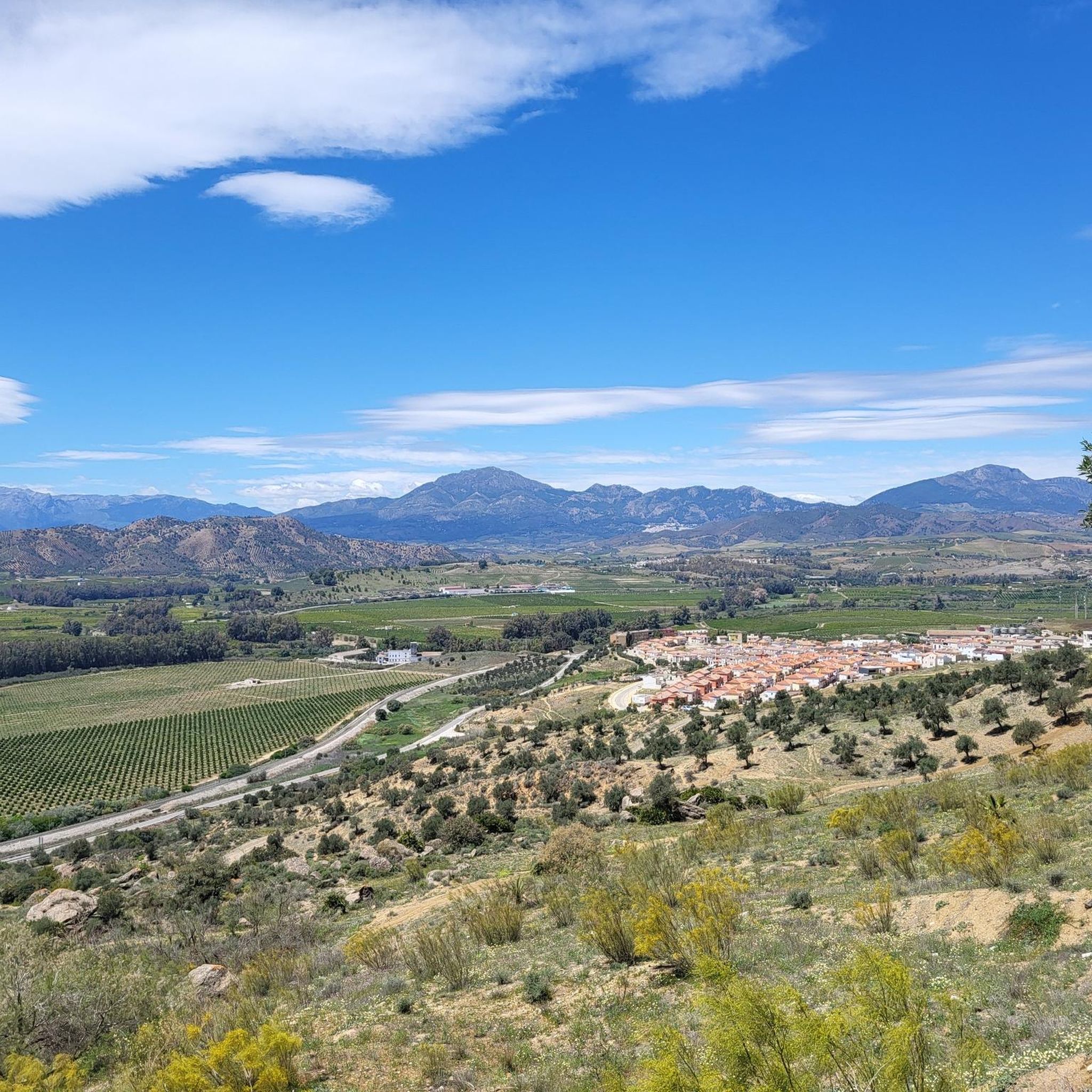
The Mirador viewpoint near Pizarra offers a beautiful view over the Guadalhorce Valley, the surrounding ravines (barrancos), and natural rock faces. From here, you can observe the diverse landscape, riverbanks, and geological formations – ideal for nature observation, short breaks, and panoramic photos on bike tours through the region.
4
0
A scenic viewpoint in the Guadalhorce Valley. It is located near the well-known Mirador del Chorrerón. The view combines historical infrastructure and the Andalusian landscape – ideal for photos and short breaks.
3
0
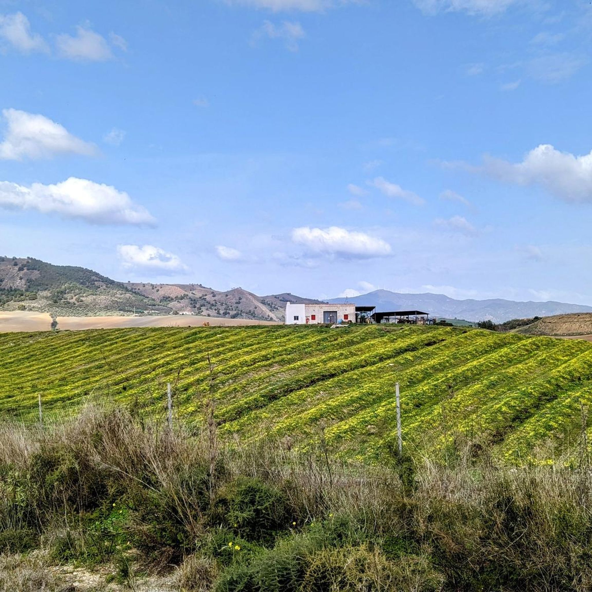
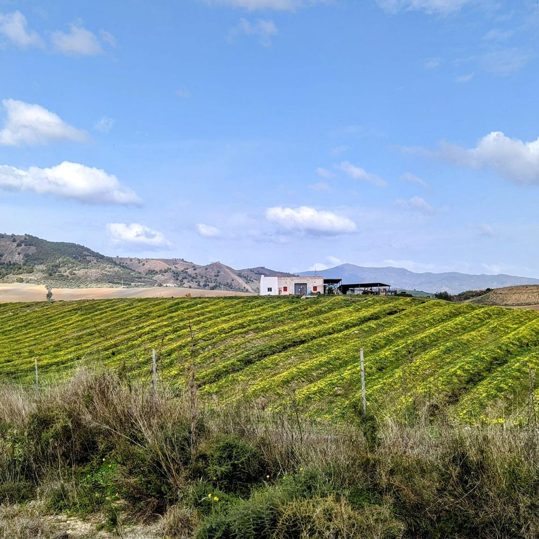
The Mirador is a worthwhile destination for a bike tour in the Guadalhorce Valley. The viewpoint is located above the river and offers a sweeping view of the surrounding olive and citrus groves.
3
0
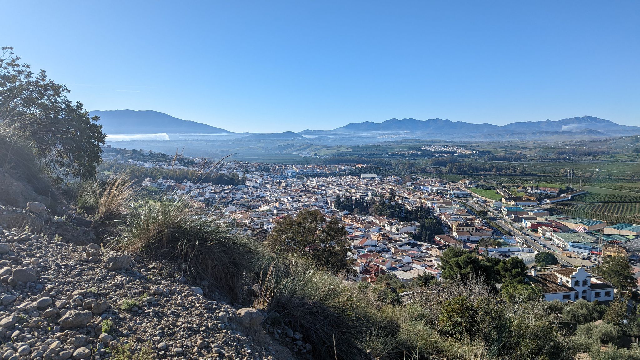
The journey by bicycle combines quiet stretches of nature with the first views of the white town center and the hills above the valley – a typical transition from the rural surroundings to the historic urban structure of Álora.
2
0
The view from the south reveals Álora with its striking castle hill at its center. The remains of Álora Castle are clearly visible on the hilltop, underscoring the town's strategic location overlooking the Guadalhorce Valley. The town itself, with its whitewashed houses, stretches along the slope below, surrounded by arid hills, olive groves, and the fertile plain of the river valley. The view perfectly illustrates the typical landscape and settlement pattern of this region of Andalusia. Why not take a short break, soak in the beautiful scenery, and capture the perspective?
3
0
Frequently Asked Questions
How many touring cycling routes are available around Pizarra?
There are over 75 touring cycling routes available around Pizarra, offering a wide range of experiences from moderate loops to challenging rides with significant elevation gains. The region is known for its diverse landscapes within the Guadalhorce Valley, including scenic hills and mountainous passes.
Are there any easy or beginner-friendly touring cycling routes in Pizarra?
Yes, while many routes are moderate to difficult, there are a couple of easier options for touring cyclists in Pizarra. These routes typically feature flatter stretches along the Rio Guadalhorce, providing a gentler introduction to the region's beautiful scenery.
What kind of terrain can I expect on touring cycling routes around Pizarra?
The terrain around Pizarra is quite varied. You can expect flat stretches along the Rio Guadalhorce, scenic hills, and challenging climbs through mountainous passes like Sierra Prieta and Sierra de Alcaparain. Routes often wind through valleys and ascend to viewpoints, offering sweeping panoramas. Some routes, like those towards the Guadalhorce Reservoir, feature significant elevation gains.
Are there any circular touring cycling routes in the Pizarra area?
Yes, many touring cycling routes around Pizarra are designed as loops, allowing you to start and finish in the same location. A popular example is the Álora Castle Loop Trail, which is a moderate 24.1 km route visiting the historic Arab castle of Álora.
What are some notable landmarks or attractions I can see along the touring cycling routes?
Touring cycling routes around Pizarra offer access to several interesting landmarks and natural features. You can visit the historic Álora Castle and enjoy panoramic views from the Mirador Alí Ben Falcún. The region also provides access to unique geological formations like the Torcal de Antequera. Other highlights include the town of Álora and the Pizarra settlement itself.
Can I find routes that lead to the Guadalhorce Reservoir?
Absolutely. There are challenging routes that traverse towards the Guadalhorce Reservoir, offering significant elevation gains and stunning views. For instance, the Guadalhorce Reservoir – Abfahrt in Richtung Ardales loop from Pizarra is a difficult 75.3 km trail that leads through scenic hills and mountainous passes to the reservoir.
What do other touring cyclists say about the routes in Pizarra?
The touring cycling routes in Pizarra are highly rated by the komoot community, with an average score of 4.6 stars from over 100 reviews. Cyclists often praise the diverse landscapes, the combination of quiet natural stretches with visits to historic towns, and the panoramic viewpoints.
Is it possible to rent bikes in Pizarra?
Yes, the cycling infrastructure in Pizarra is supported by services that offer bike rentals, including hybrid bikes and e-bikes. This makes the region accessible for a wide range of cyclists who may not bring their own equipment.
What is the best time of year for touring cycling in Pizarra?
Pizarra, being in Andalusia, Spain, generally offers good cycling conditions for much of the year. Spring and autumn are typically ideal, with pleasant temperatures and less extreme weather. Summers can be hot, especially in the Guadalhorce Valley, while winters are mild but can have cooler, wetter days.
Are there family-friendly touring cycling options in Pizarra?
While many routes involve significant climbs, there are easier options that can be suitable for families, particularly those along the flatter sections of the Rio Guadalhorce. It's advisable to check the difficulty and elevation profiles of specific routes to ensure they match your family's fitness level.
Can I bring my dog on touring cycling routes in Pizarra?
While komoot routes generally don't restrict dogs, it's important to consider the specific conditions of each route. Factors like terrain, distance, weather, and local regulations (especially in protected natural areas or near livestock) should be checked. Always ensure your dog is fit for the ride and that you carry enough water for both of you.
Are there any very long or advanced touring cycling routes for experienced cyclists?
Yes, for experienced touring cyclists seeking a challenge, Pizarra offers several difficult routes with substantial distances and elevation gains. An example is the Marbella Marina – Castillo de La Mota loop from Aljaima, which is over 100 km long with nearly 1900 meters of elevation gain, traversing through mountains and passes.
Most popular attractions around Pizarra

Get inspired with the komoot mobile app


Explore more
Browse the best Cycling routes in other regions.
