The best running trails around National Park Cumbre, Circo y Lagunas Peñalara
4.7
(13)
1,856
runners
96
runs
Jogging routes around National Park Cumbre, Circo y Lagunas Peñalara traverse a landscape shaped by glacial activity, featuring prominent cirques, moraines, and numerous glacial lagoons. The region is characterized by the towering Pico de Peñalara, the highest peak in the Sierra de Guadarrama, offering substantial elevation gains. Trails wind through diverse vegetation zones, from Scots pine forests at lower altitudes to alpine meadows and rocky terrain higher up. This varied topography provides a range of running experiences.
Best jogging routes…
Last updated: July 15, 2026
5.0
(4)
220
runners
Hard run. Very good fitness required. Sure-footedness, sturdy shoes and alpine experience required.
5.0
(1)
28
runners
Hard run. Very good fitness required. Sure-footedness, sturdy shoes and alpine experience required.

Sign up for free
15
runners
6.31km
01:02
250m
250m
Hard run. Good fitness required. Sure-footedness, sturdy shoes and alpine experience required.
7
runners
16.1km
02:55
820m
820m
Hard run. Very good fitness required. Sure-footedness, sturdy shoes and alpine experience required.
5.0
(2)
173
runners
11.2km
02:00
580m
580m
Hard run. Very good fitness required. Sure-footedness, sturdy shoes and alpine experience required.
Get access to more routes and recommendations from other explorers.
Sign up for free
Already have an account?
Our route recommendations are based on thousands of hikes, rides, and runs completed by other people on komoot.
Start today with a free account
Your next adventure awaits.
Login or Signup
Popular around National Park Cumbre, Circo y Lagunas Peñalara
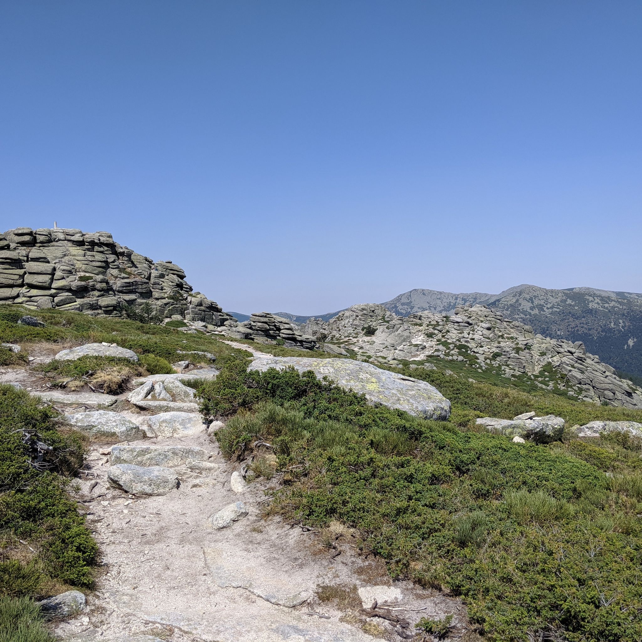
Hiking around National Park Cumbre, Circo y Lagunas Peñalara
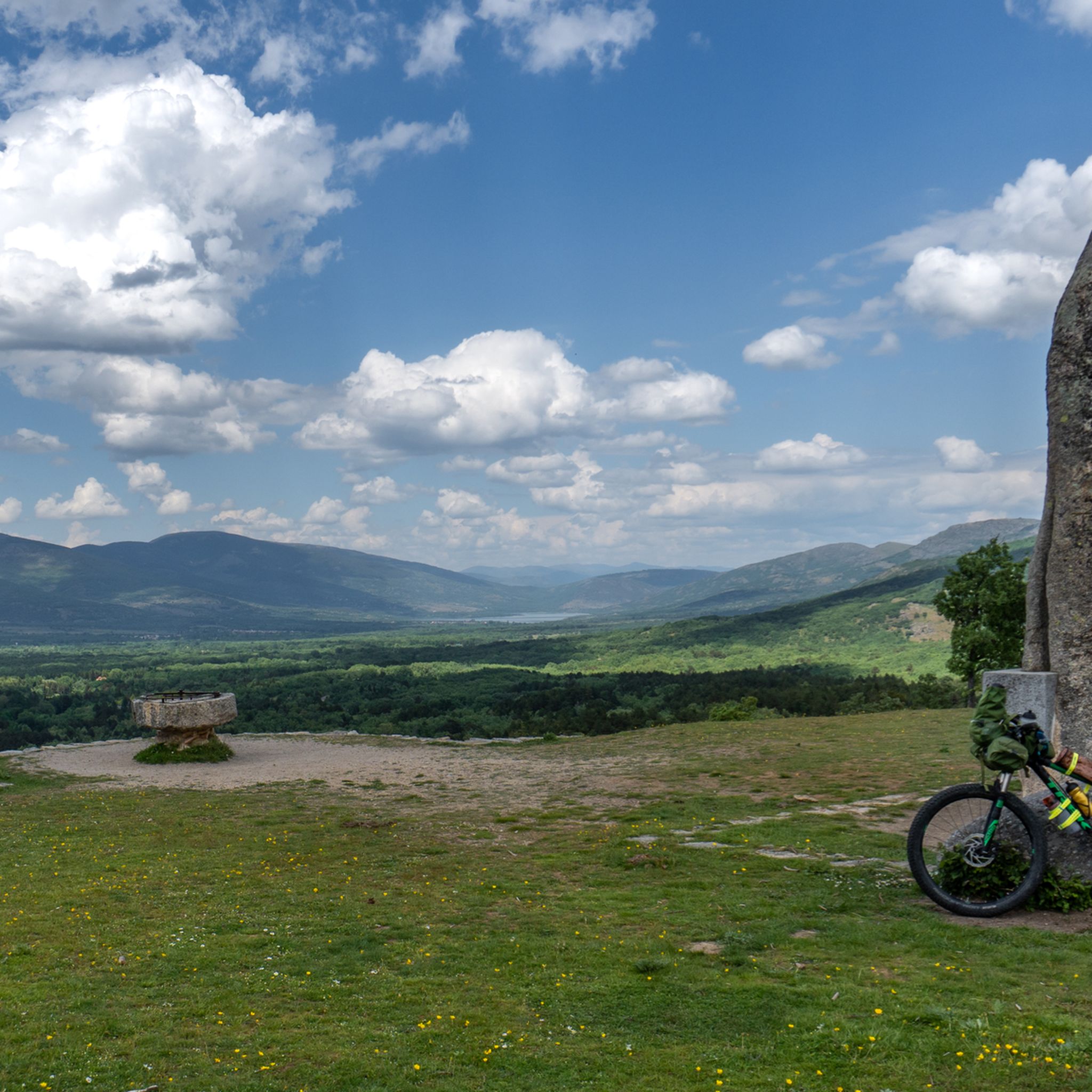
MTB Trails around National Park Cumbre, Circo y Lagunas Peñalara
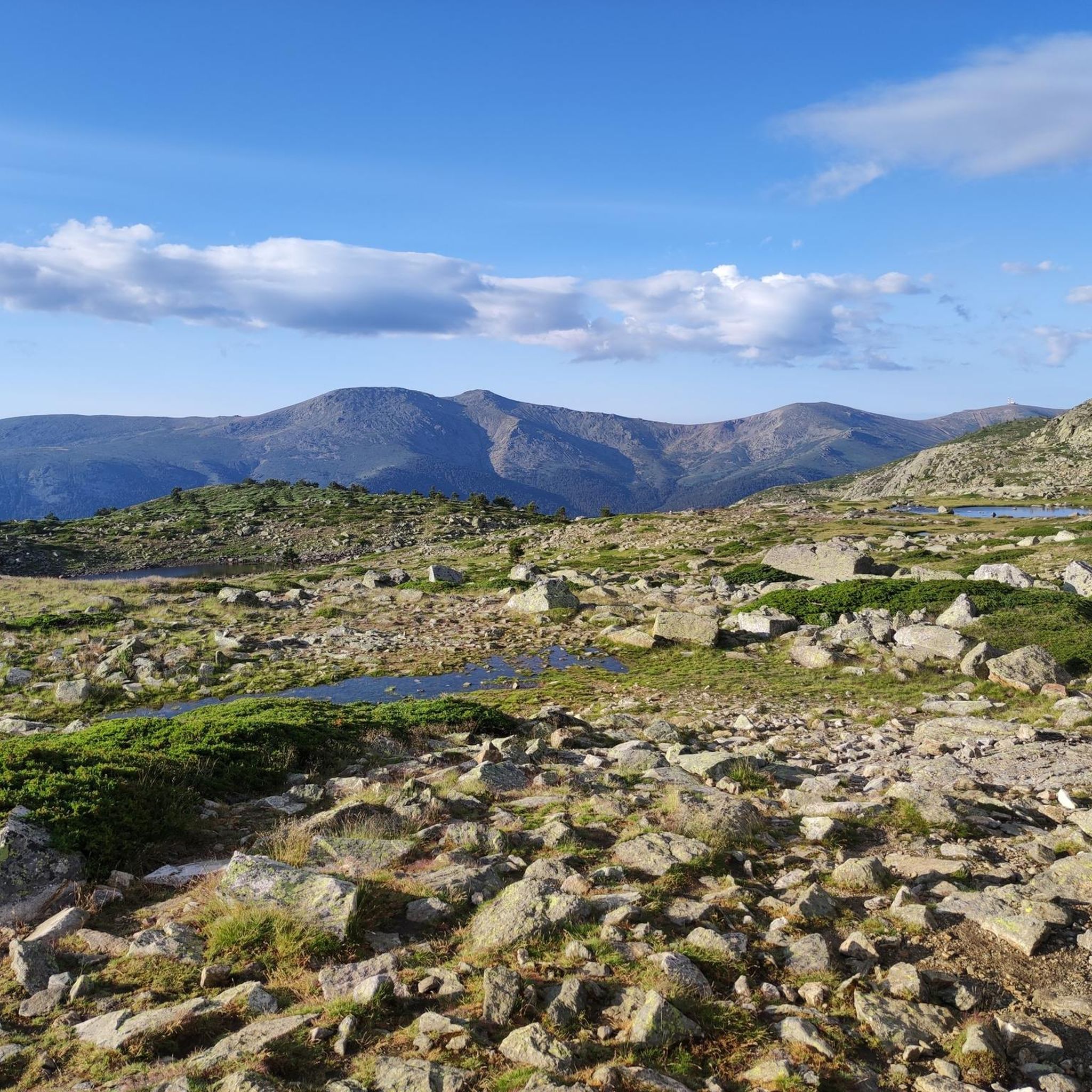
Cycling around National Park Cumbre, Circo y Lagunas Peñalara
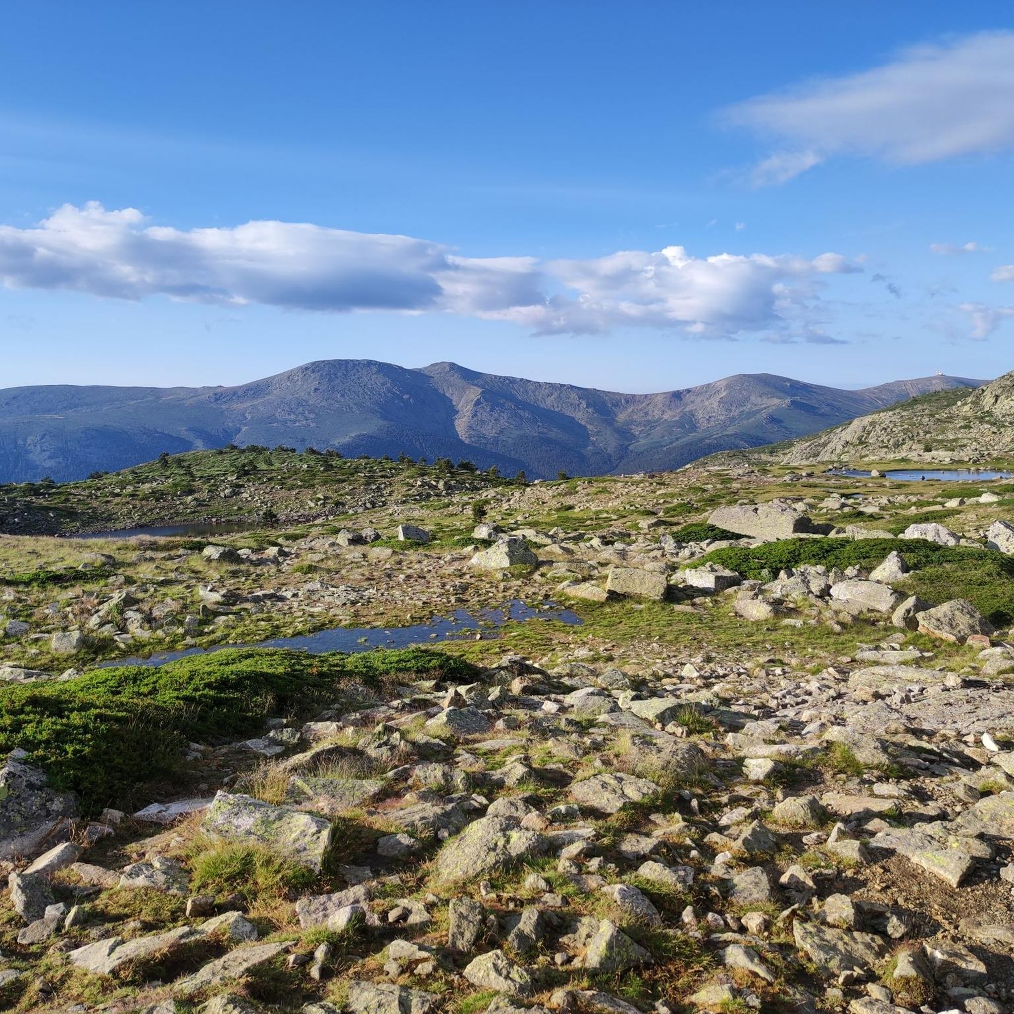
Road Cycling Routes around National Park Cumbre, Circo y Lagunas Peñalara
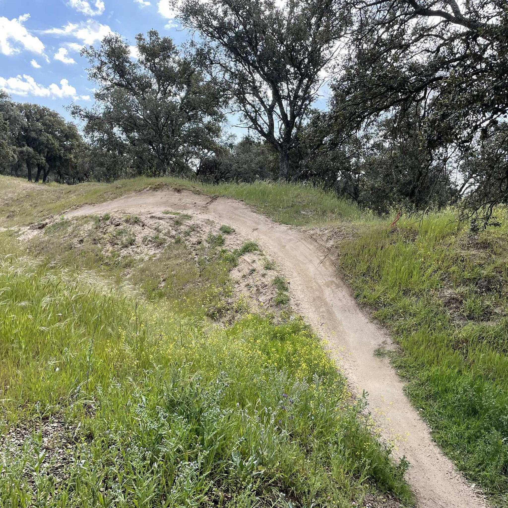
Mountain Hikes around National Park Cumbre, Circo y Lagunas Peñalara
Gravel biking around National Park Cumbre, Circo y Lagunas Peñalara
Tips from the Community

Highest peak between Madrid and Segovia.
0
0

The Paular path ends at this point, near the entrance to the natural park of the Peñalara Lagoons and glacial cirque.
0
0

To ascend it, you must carry the appropriate equipment in snow/ice, an ice axe and crampons. And be very careful with crevasses and cornices. You can also reach its summit from the normal route to Peñalara (Dos Hermanas).
0
0

The name comes from the stone boundary markers erected in the 18th century to demarcate lands acquired by Charles III for hunting. During the Spanish Civil War, it was a strategic area with a Republican detachment stationed there. It formerly housed the Valcotos ski resort, which no longer exists.
1
0

There's a fountain as you reach the top on the right. Follow the cobblestone path.
0
1

Mountain refuge near the Laguna Grande de Peñalara, with spectacular views of the surrounding area. It's worth returning from the lagoon to the reserves, passing through the refuge—the views won't disappoint.
0
0

This refuge is located in one of the most beautiful meadows in the Guadarrama mountain range, on the north side of Peñalara. It is important to maintain it and keep it in good condition.
0
0

Laguna Grande de Peñalara is the largest glacial lagoon in the Sierra de Guadarrama, located at an altitude of 2,017 meters in the National Park. Origin: Glacier, formed about 40,000 years ago. Size: 5,779 m² in surface area and 4.8 m in maximum depth. Water: Crystal-clear, very pure, and cold, it remains frozen for about 4 months a year. Fauna: Home to the pygmy newt and the long-tailed salamander, and a refuge for migratory birds such as the Spanish imperial eagle and the black vulture. Flora: Surrounded by alpine vegetation. Importance: High-mountain ecosystem of great ecological value. Included in the Ramsar List of Wetlands of International Importance. Maximum protection zone within the National Park. Restrictions: Limited access in some areas for protection. * Swimming, camping outside of designated areas, and leaving trails are prohibited. * Specific regulations apply to pets and drones.
0
0
Frequently Asked Questions
How many running routes are available in National Park Cumbre, Circo y Lagunas Peñalara?
There are over 100 jogging routes available in National Park Cumbre, Circo y Lagunas Peñalara, offering a wide range of experiences for different fitness levels. The komoot community has explored 103 routes in total.
What kind of terrain can I expect on the running trails in Peñalara Natural Park?
The terrain in Peñalara Natural Park is diverse, shaped by glacial activity. You'll encounter prominent cirques, moraines, and numerous glacial lagoons. Routes often feature significant elevation gains, especially towards Pico de Peñalara, the highest peak in the Sierra de Guadarrama. Expect trails winding through Scots pine forests at lower altitudes, transitioning to alpine meadows and rocky areas higher up.
Are there running routes suitable for beginners in the park?
While many routes are challenging, there are some easier options available. The park offers 6 easy routes and 22 moderate routes, providing choices for various ability levels. For example, the Laguna Grande de Peñalara Loop is a popular option that leads through glacial lagoons and alpine scenery.
What natural landmarks can I see while jogging in National Park Cumbre, Circo y Lagunas Peñalara?
Jogging in the park offers stunning views of several natural landmarks. You can explore the impressive Peñalara Glacial Cirque, visit the serene Laguna de Peñalara (also known as Laguna Grande), or pass by the picturesque Lake of the Birds. Many routes also offer panoramic vistas from higher elevations.
Are there many circular running routes in the park?
Yes, the park features numerous circular running routes. Popular options include Laguna Grande, Laguna de los Pájaros y Pico de Peñalara — circular desde Puerto de Cotos, and Pico Peñalara via the Glacial Circus - circular from Puerto de Cotos through the Guadarrama National Park, which ascends through the Peñalara cirque.
When is the best time of year to go jogging in Peñalara Natural Park?
The park offers year-round appeal for jogging. While winter brings snow and opportunities for other activities, spring, summer, and autumn provide excellent conditions for running. The diverse vegetation means the scenery changes beautifully with the seasons, from lush greenery to vibrant autumn colors.
Can I bring my dog on the running trails in Peñalara Natural Park?
Peñalara Natural Park is a protected area, and specific rules apply to pets to preserve its delicate ecosystem. It's essential to check the current regulations regarding dogs on trails before your visit. Generally, dogs must be kept on a leash, and access might be restricted in certain sensitive areas, especially during breeding seasons for wildlife.
Is there parking available near the running trailheads?
Yes, the park is generally accessible, with various paths originating from Cotos Port, which serves as a regional tourist center. Parking facilities are typically available in such key access points, but it's advisable to arrive early during peak seasons to secure a spot.
What do other runners enjoy the most about jogging in National Park Cumbre, Circo y Lagunas Peñalara?
The area is highly rated by the komoot community, with an average score of 4.5 stars from more than 10 reviews. Runners often praise the stunning glacial landscapes, the challenge of ascending Pico de Peñalara, and the diverse ecosystems that provide a constantly changing backdrop. The well-developed network of trails also receives positive feedback.
Are there any permits required for jogging in Peñalara Natural Park?
For general jogging on marked trails, permits are typically not required. However, as a natural park, certain activities or access to specific sensitive areas might have restrictions or require prior authorization. It's always best to consult the official park authority's website for the most up-to-date information on any specific permits or regulations that might apply to your planned route.
Are there options for winter running in the park?
While the park is beautiful in winter, snow and ice can make many trails challenging or impassable for regular jogging. Some areas might be suitable for snowshoeing or cross-country skiing. If you plan to run in winter, be prepared for high-mountain conditions, appropriate gear, and check trail conditions beforehand. Lower elevation routes might remain accessible depending on snow levels.
How can I reach the running routes in Peñalara Natural Park using public transport?
The park is generally accessible from various points, including Cotos Port, which is a common starting point for many trails. Public transport options, such as bus services from nearby towns or Madrid, often connect to these main access points. It's recommended to check local bus schedules and routes for the most convenient public transport connections to the park's trailheads.
Most popular routes around National Park Cumbre, Circo y Lagunas Peñalara
Most popular attractions around National Park Cumbre, Circo y Lagunas Peñalara

Get inspired with the komoot mobile app


Explore more
Browse the best Running Trails & Routes in other regions.
