The best running trails around San Adrián De Juarros
358
runners
48
runs
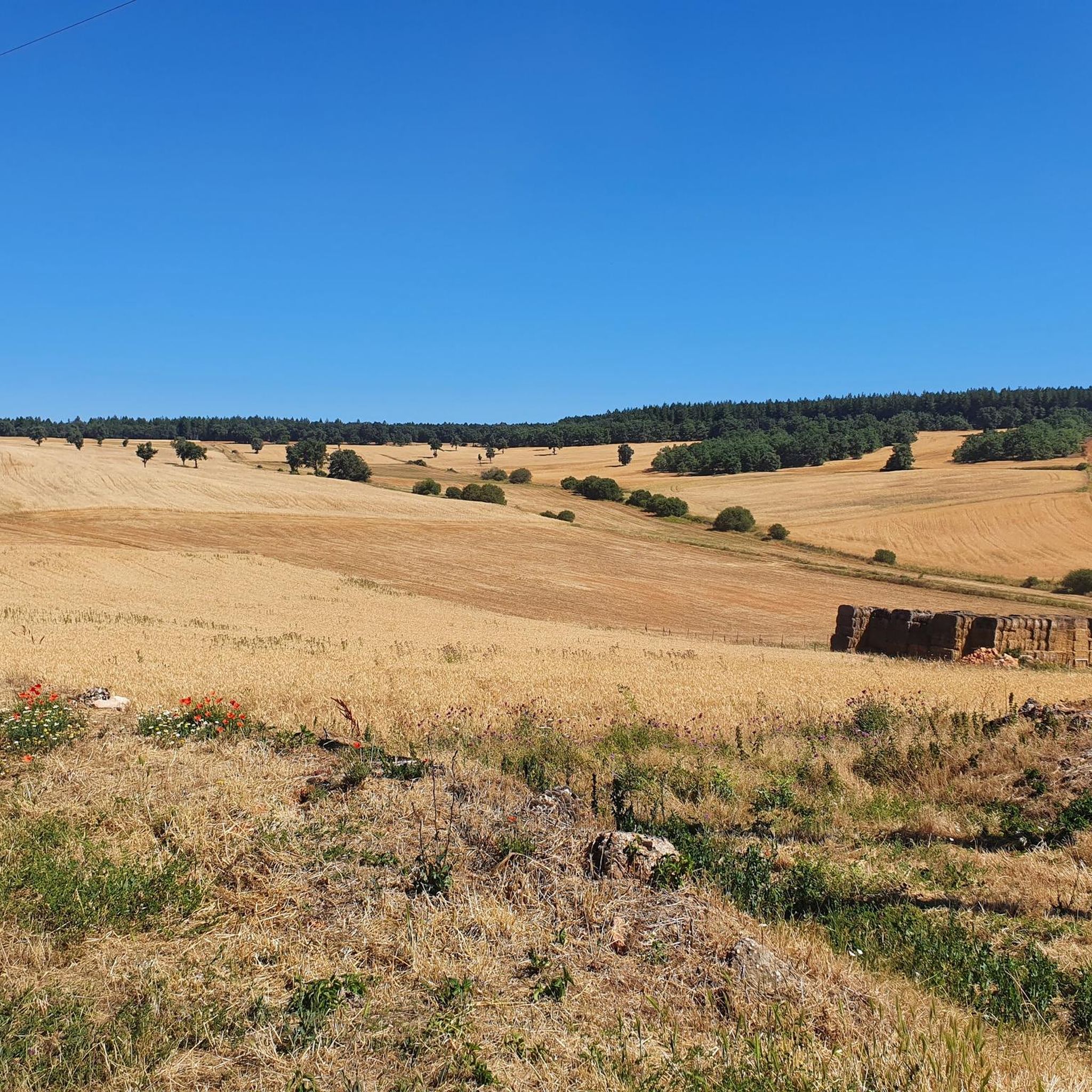
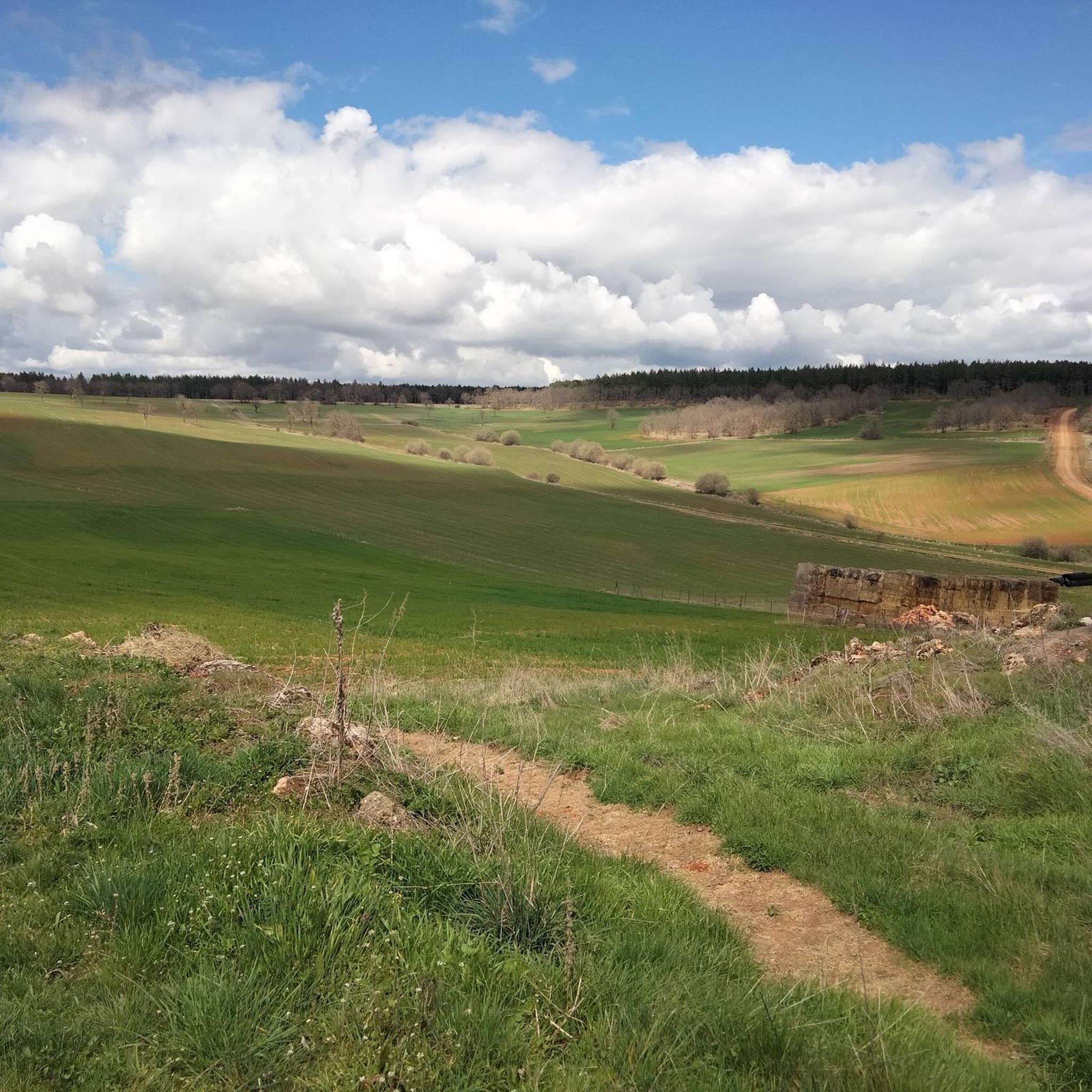
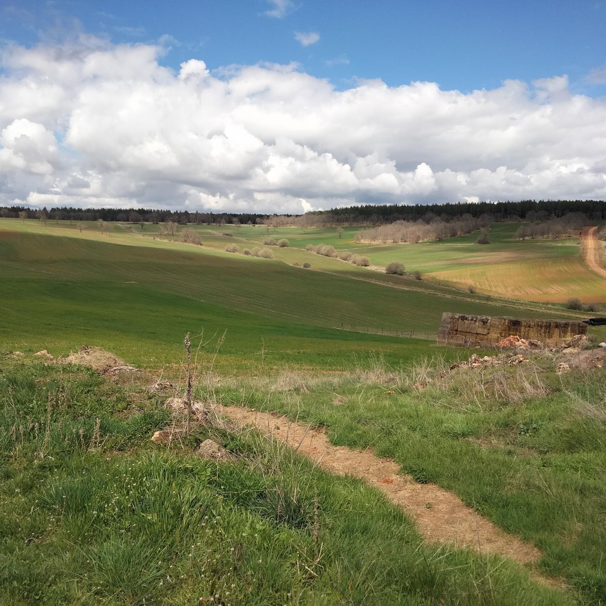
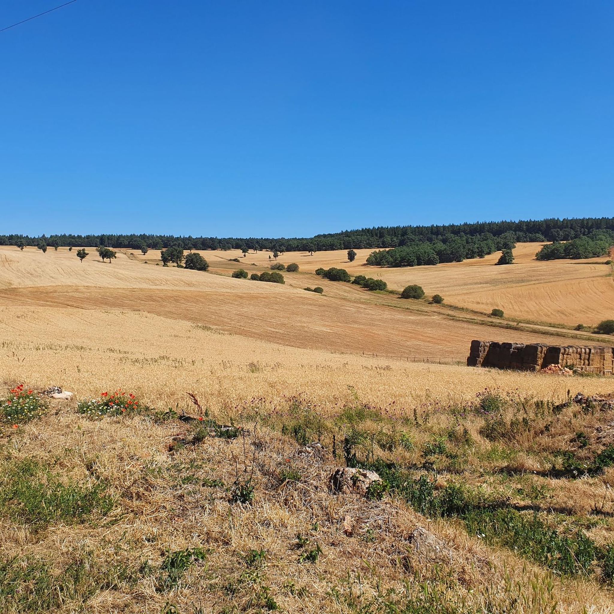
Jogging routes San Adrián De Juarros traverse a landscape characterized by the foothills of the Sierra de la Demanda, offering diverse terrain for runners. The region features a mix of oak and pine forests, gentle undulations, and historical pathways. Runners can explore well-trodden paths, including sections near the Camino de Santiago, providing both natural beauty and cultural significance. The area's elevation and varied topography create engaging running experiences.
Best jogging routes around San Adrián De Juarros
- The most popular jogging…
Last updated: June 28, 2026
27
runners
22.8km
03:18
980m
980m
Hard run. Very good fitness required. Mostly paved surfaces. Suitable for all skill levels.
20
runners
28.1km
03:57
1,120m
1,120m
Hard run. Very good fitness required. Mostly paved surfaces. Suitable for all skill levels.

Sign up for free
14
runners
29.6km
03:57
1,100m
1,100m
Hard run. Very good fitness required. Mostly paved surfaces. Suitable for all skill levels.
17
runners
24.6km
03:12
960m
960m
Hard run. Very good fitness required. Mostly paved surfaces. Suitable for all skill levels.
12
runners
30.6km
04:06
1,200m
1,200m
Hard run. Very good fitness required. Mostly paved surfaces. Suitable for all skill levels.
Get access to more routes and recommendations from other explorers.
Sign up for free
Already have an account?
Our route recommendations are based on thousands of hikes, rides, and runs completed by other people on komoot.
Start today with a free account
Your next adventure awaits.
Login or Signup

Tips from the Community

Crossing of the hill path with the path down to Tinieblas de la Sierra.
1
1

From the top of Pico Mencilla, you can see Pico Trigaza and San Millan
1
0

The descent to Tinieblas de la Sierra is a descent that goes towards the town of Pineda de la Sierra on the northern side of the Pico Mencilla mountain.
1
1

It is a very nice town in the heart of the Sierra de la Demanda, Burgos. It is recommended to climb the Pico San Millán, and the Trigaza, on the south side we have the Mencilla. The highest peaks of the Burgos Demand.
2
0

The climb up Pineda has some rocky and uncomfortable sections, but it is not difficult. You just have to be careful with the forecast of fog.
3
0
Frequently Asked Questions
How many running routes can I find around San Adrián De Juarros?
There are over 50 running routes available around San Adrián De Juarros, ranging from moderate to difficult, providing a diverse selection for your outdoor adventures.
Are there any easy jogging routes suitable for beginners in San Adrián De Juarros?
While the komoot guide primarily features moderate and difficult routes, the region's 'Sendero Minero' is known for its easy to moderate difficulty, making it accessible for various fitness levels. It's a well-signposted circular trail that offers a unique blend of history and nature.
What kind of terrain can I expect on the running trails in this area?
The running trails around San Adrián De Juarros traverse diverse terrain, including paths through extensive oak and pine forests, gentle undulations typical of the Sierra de la Demanda foothills, and historical routes like sections of the Camino de Santiago. You'll find a mix of dirt paths and established trails, offering a softer impact than paved roads.
Are there any long-distance running trails for experienced runners?
Yes, for experienced runners seeking a challenge, routes like the Pico Mencilla loop from Urrez offer significant distances, spanning over 30 kilometers with considerable elevation gain. Another option is the Alto de Crucejas – Torruco loop from Urrez, which covers nearly 30 kilometers.
Can I bring my dog on the running trails in San Adrián De Juarros?
San Adrián De Juarros is known to be dog-friendly, having hosted Canicross events, which involve cross-country running with dogs. This indicates that many trails, particularly those through forests and natural landscapes, are suitable for running with your canine companion. Always ensure your dog is on a leash and respect local regulations.
What are some scenic viewpoints or attractions I can see while jogging?
Many routes offer stunning views of the Sierra de la Demanda. You can also pass by historical sites such as the 15th- and 16th-century Nuestra Señora de la Asunción church or the 13th-century hermitage of San Andrés. For unique sights, consider routes near the Artistic Oasis of the Camino de Santiago, featuring painted tree stumps and totems. The Beautiful views over the Arlanzón reservoir are also accessible.
Are there any circular running routes available?
Yes, many routes in the area are circular, allowing you to start and end at the same point. A notable example is the 'Sendero Minero', a well-known circular trail. For a more challenging option, the Alto de la Cerca – Villaneda loop from Villasur de Herreros is a popular circular route.
What historical sites can I explore near the running paths?
The region is rich in history. Joggers can encounter the remains of old mine shafts and a lime kiln along the 'Sendero Minero'. Additionally, the Monastery of San Pedro de Cardeña and the Monastery and Church of Saint John of Ortega, both significant historical and religious sites, are within the broader area and can be incorporated into longer runs or visited nearby.
Are there any family-friendly running options in San Adrián De Juarros?
While the komoot guide lists mostly moderate to difficult routes, the 'Sendero Minero' is generally considered accessible and can be a good option for families looking for a scenic and engaging walk or light jog. Its historical points of interest and natural beauty make it an enjoyable experience for all ages.
What is the best time of year to go jogging in San Adrián De Juarros?
The diverse landscapes, including oak and pine forests, offer shaded sections, making spring and autumn ideal for comfortable running temperatures. The region's natural beauty is vibrant during these seasons. Summer mornings and evenings can also be pleasant, while winter running is possible, though some higher elevation paths might require more preparation.
What do other runners enjoy most about jogging in San Adrián De Juarros?
Runners frequently praise the varied terrain and the natural beauty of the Sierra de la Demanda foothills. The presence of historical trails, like those near the Camino de Santiago, and the unique 'Sendero Minero' with its mining history, offer an enriching experience beyond just exercise. The extensive oak forests provide picturesque and often shaded paths.
Are there any challenging running routes for advanced athletes?
Absolutely. The area offers several difficult routes with significant elevation gains. For instance, the Villaneda – Alto de la Cerca loop from El Peñedo is a demanding 28-kilometer path with over 1100 meters of ascent, providing an excellent test for advanced runners.
Most popular routes around San Adrián De Juarros
Most popular attractions around San Adrián De Juarros

Get inspired with the komoot mobile app


Explore more
Browse the best Running Trails & Routes in other regions.
