The best walks and hikes around Marjal i Estany d'Almenara
4.5
(294)
2,690
hikers
207
hikes
Hiking around Marjal i Estany d'Almenara features a landscape characterized by extensive wetlands, coastal paths, and flat terrain. The region is known for its natural ponds and marshlands, offering routes with minimal elevation gain. These trails often follow the coastline or wind through protected natural areas, providing opportunities for observing local flora and fauna.
Best hiking trails around Marjal i Estany d'Almenara
- The most popular hiking route is Platja de Canet d'en Berenguer – Playa de Canet loop from Corinto…
Last updated: July 9, 2026
5.0
(1)
40
hikers
13.5km
03:24
20m
20m
Moderate hike. Good fitness required. Easily-accessible paths. Suitable for all skill levels.
28
hikers
6.85km
01:43
10m
10m
Easy hike. Great for any fitness level. Easily-accessible paths. Suitable for all skill levels.

Sign up for free
4.7
(3)
30
hikers
Moderate hike. Good fitness required. Easily-accessible paths. Suitable for all skill levels.
5.0
(2)
28
hikers
6.92km
01:44
10m
10m
Easy hike. Great for any fitness level. Easily-accessible paths. Suitable for all skill levels.
5.0
(1)
33
hikers
Easy hike. Great for any fitness level. Easily-accessible paths. Suitable for all skill levels.
Get access to more routes and recommendations from other explorers.
Sign up for free
Already have an account?
Our route recommendations are based on thousands of hikes, rides, and runs completed by other people on komoot.
Start today with a free account
Your next adventure awaits.
Login or Signup

Tips from the Community

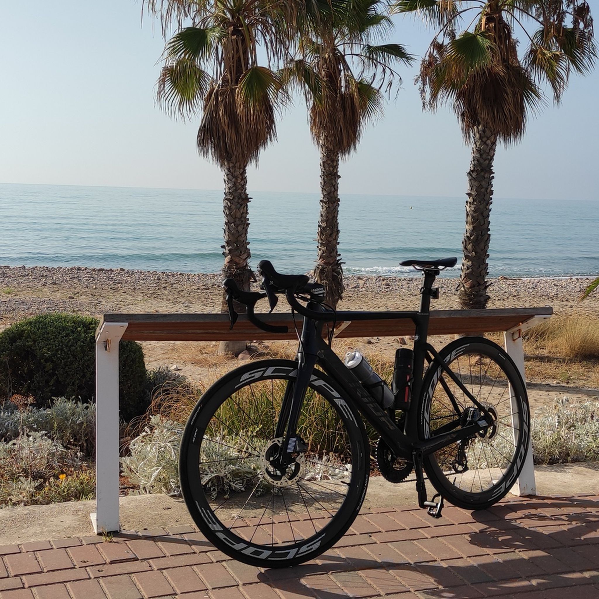
But from here you have a fantastic view, especially in December when the waves are so high.
0
0

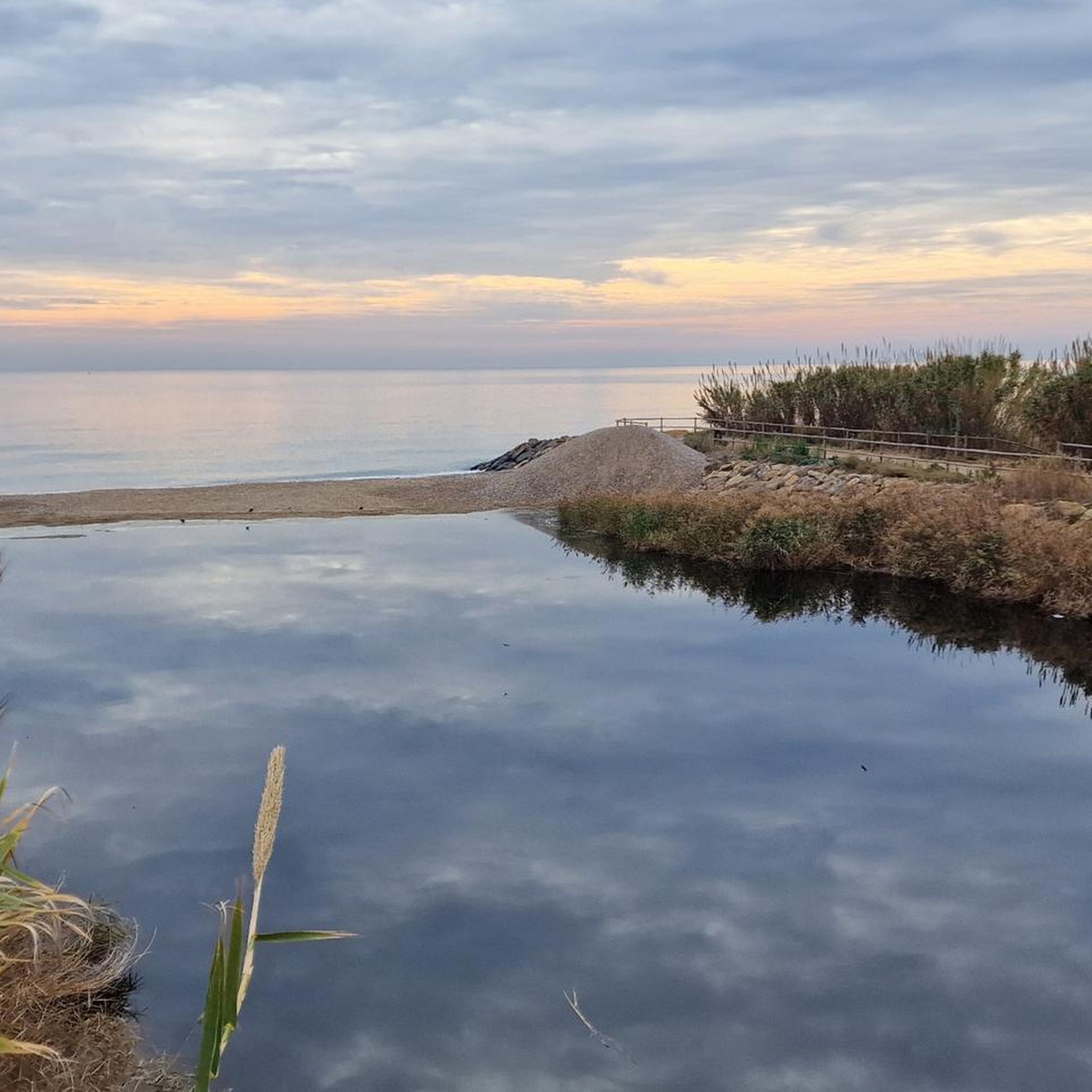
Nice bridge
0
0

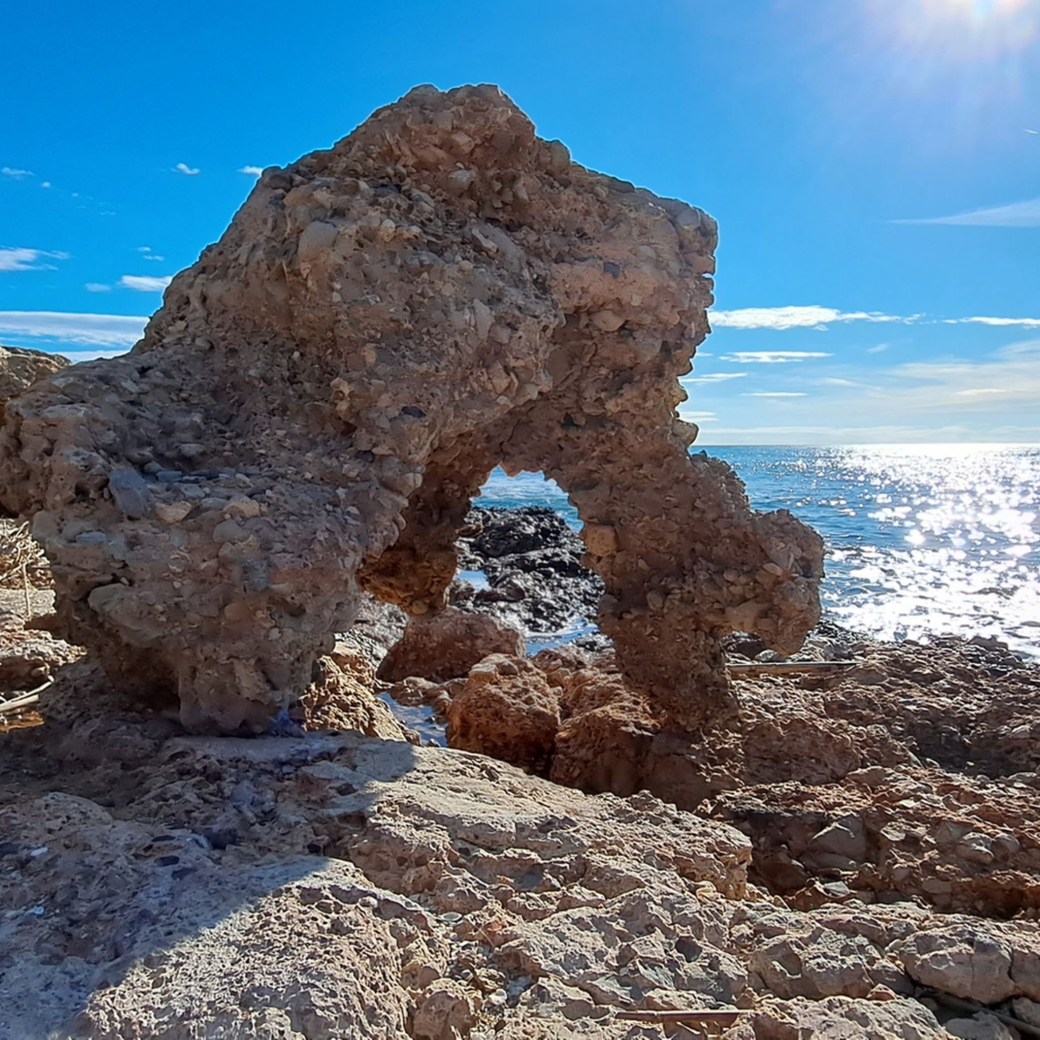
Worth mentioning is the viewpoint that allows you to enter the sea and from there admire the unique visits to these beautiful beaches, which are a photographic icon of the municipality.
6
0
Frequently Asked Questions
How many hiking trails are available in Marjal i Estany d'Almenara?
There are over 200 hiking routes in Marjal i Estany d'Almenara, offering a wide range of options for different skill levels. You'll find 92 easy routes, 98 moderate, and 19 more challenging trails.
Are there easy hiking trails suitable for beginners or families in Marjal i Estany d'Almenara?
Yes, the region is known for its flat terrain and coastal promenades, making it ideal for beginners and families. An excellent easy option is the Xilxes Promenade loop from Plaza Columbretes, which is 4.4 miles (7.1 km) long and follows the accessible coastline.
What kind of terrain can I expect on the hiking trails in Marjal i Estany d'Almenara?
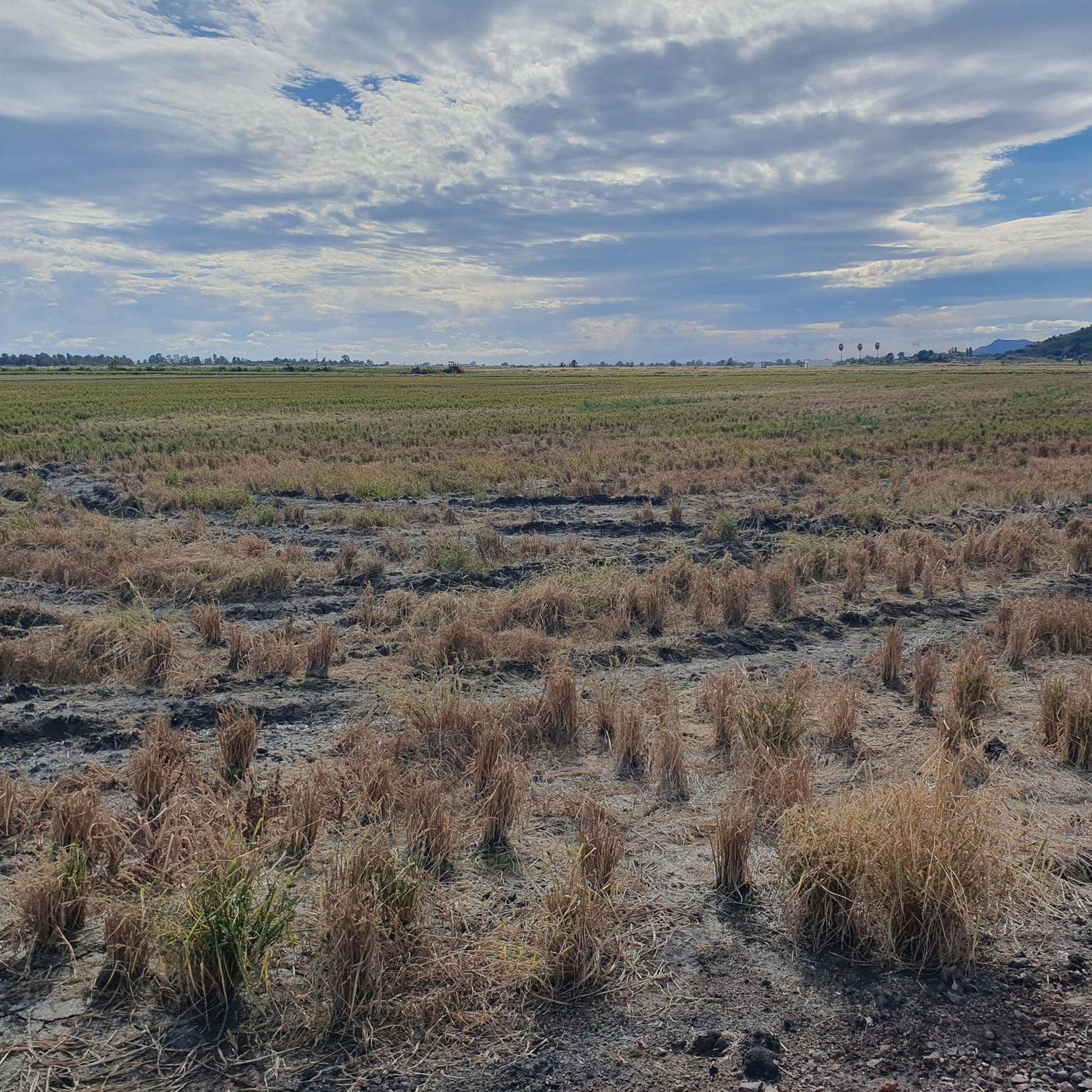
The terrain in Marjal i Estany d'Almenara is predominantly flat, characterized by extensive wetlands, natural ponds, marshlands, and coastal paths. You can expect minimal elevation gain, making most routes accessible and enjoyable for a relaxed walk.
What are the typical distances and durations for hikes in this area?
Hikes in Marjal i Estany d'Almenara vary, but many popular routes range from 4 to 11 miles (7 to 17 km). For example, the Platja de Canet d'en Berenguer – Playa de Canet loop from Corinto is 8.3 miles (13.3 km) and takes about 3 hours 20 minutes, while the Xilxes Promenade – Fishermen and Oxen Mural loop is 10.7 miles (17.2 km) and typically takes around 4 hours 20 minutes.
Are there any circular walks available in Marjal i Estany d'Almenara?
Yes, many routes in the area are designed as loops, allowing you to start and end at the same point. Examples include the Hiking loop from Estanyol and the Plaza de los Pescadores loop from Av. Europa, 3 (Torrecorinto), both offering convenient circular experiences.
What can I see along the hiking trails in Marjal i Estany d'Almenara?
The trails offer opportunities to observe local flora and fauna within the wetland ecosystems. You can also visit viewpoints like the Mirador de la Taiola, La Marjal d'Almenara or the Penya Estate Viewpoint for scenic vistas. The Large lake is another notable natural feature.
Is Marjal i Estany d'Almenara suitable for dog-friendly hikes?
Given the natural and open character of the marshlands and coastal paths, many trails in Marjal i Estany d'Almenara are suitable for walking with dogs. However, always ensure your dog is under control and check for any specific local regulations regarding protected wildlife areas.
What is the best time of year to go hiking in Marjal i Estany d'Almenara?
The mild Mediterranean climate makes hiking enjoyable for much of the year. Spring and autumn offer pleasant temperatures and vibrant natural scenery. Summer can be warm, so early morning or late afternoon hikes are recommended, while winter provides cooler, often sunny conditions ideal for walking.
What do other hikers enjoy the most about hiking in Marjal i Estany d'Almenara?
The area is highly rated by the komoot community, with an average score of 4.5 stars from over 300 reviews. Reviewers often praise the peaceful wetland scenery, the accessible coastal promenades, and the opportunities for birdwatching and connecting with nature.
Is public transport available to access the hiking trails in Marjal i Estany d'Almenara?
While specific public transport connections directly to every trailhead may vary, the region is generally accessible. It's advisable to check local bus or train schedules to nearby towns like Almenara or Xilxes, from where some trailheads might be within walking distance or a short taxi ride.
Are there any cafes or facilities near the hiking trails?
Given the proximity to coastal towns and villages, you can typically find cafes, restaurants, and other facilities in the nearby urban areas. It's a good idea to plan your route to pass through or near these towns if you wish to stop for refreshments or use amenities.
Most popular routes around Marjal i Estany d'Almenara
Most popular attractions around Marjal i Estany d'Almenara

Get inspired with the komoot mobile app


Explore more
Browse the best Hikes in other regions.
